Britz Road Loop
A road cycling route starting from Britz
Explore the scenic roads around Britz on this exhilarating road cycling loop.
Map
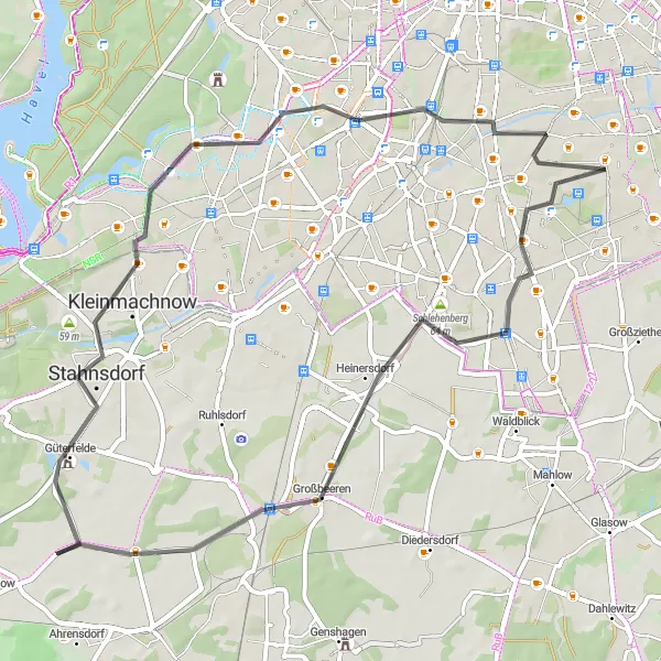
This road cycling loop starting in Britz offers cyclists the opportunity to explore the picturesque countryside surrounding the area. With a distance of 56km and an ascent of 103m, riders will enjoy a mix of smooth roads and beautiful landscapes along the way. The route passes through Heinersdorf, Stahnsdorf, Insulaner, Tempelhof, and highlights the majestic Schloss Britz. Overall, this road loop is suitable for experienced riders looking for an exhilarating ride through stunning landscapes.
road
56 km
103 m
Chill
Route profile
Highlights on the route
0 km
0 km
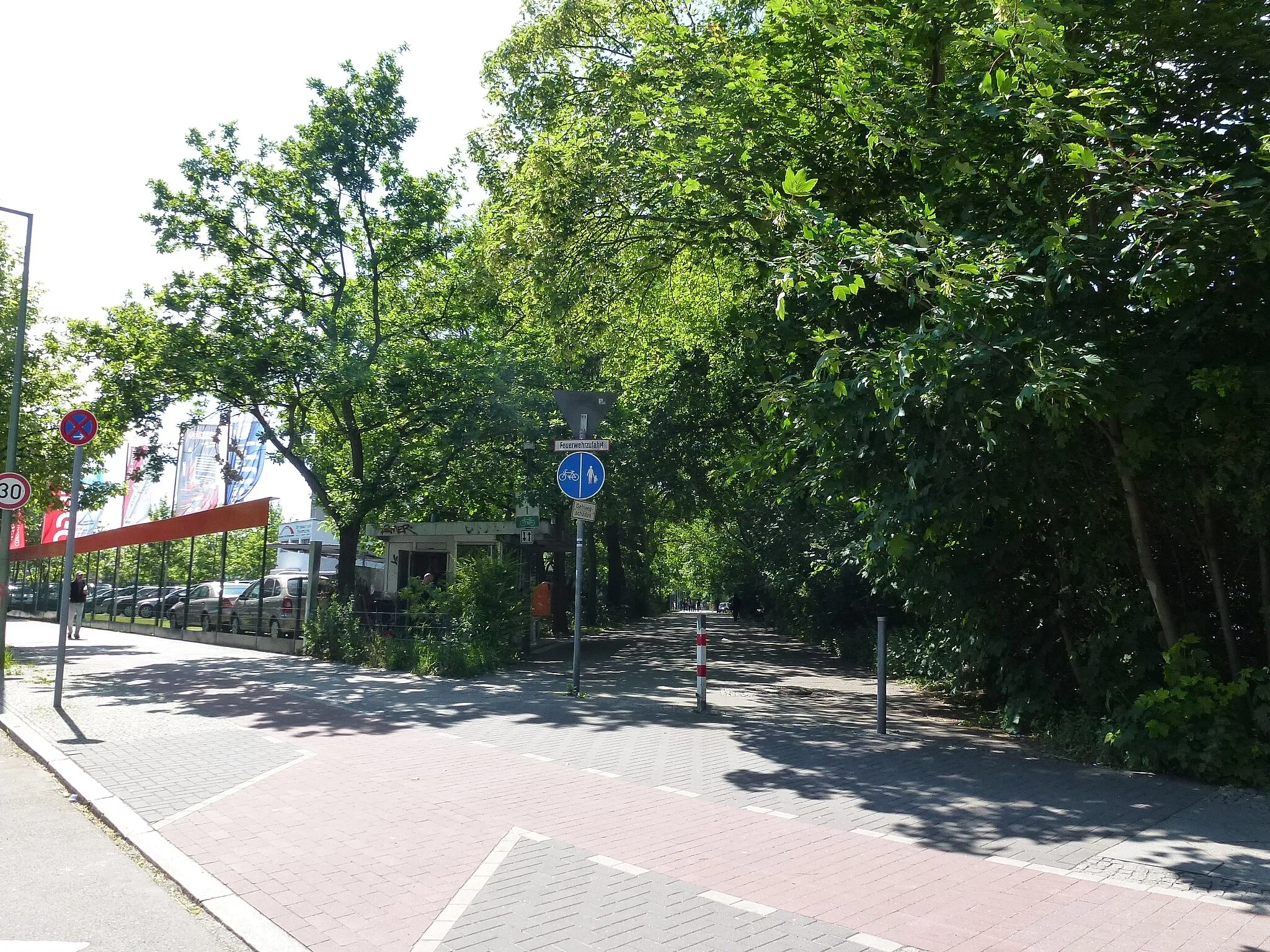
Start: Locality centerBritz: Cycling through Urban & Rural
Britz is a locality in Berlin, Germany. From a cyclist's perspective, Britz offers a mix of urban and rural cycling experiences. The roads in the area are relatively flat and well-maintained, making it suitable for both road and gravel cycling. There are several cycling routes and trails that pass through Britz, allowing cyclists to explore the surrounding countryside and enjoy the scenic views. Additionally, Britz is located near the Berliner Mauerweg, a famous cycling route that follows the path of the former Berlin Wall. Overall, Britz is a great locality for cyclists looking to explore both urban and rural areas.1 km
1 km
KalenderplatzViewpoint12 km
12 km
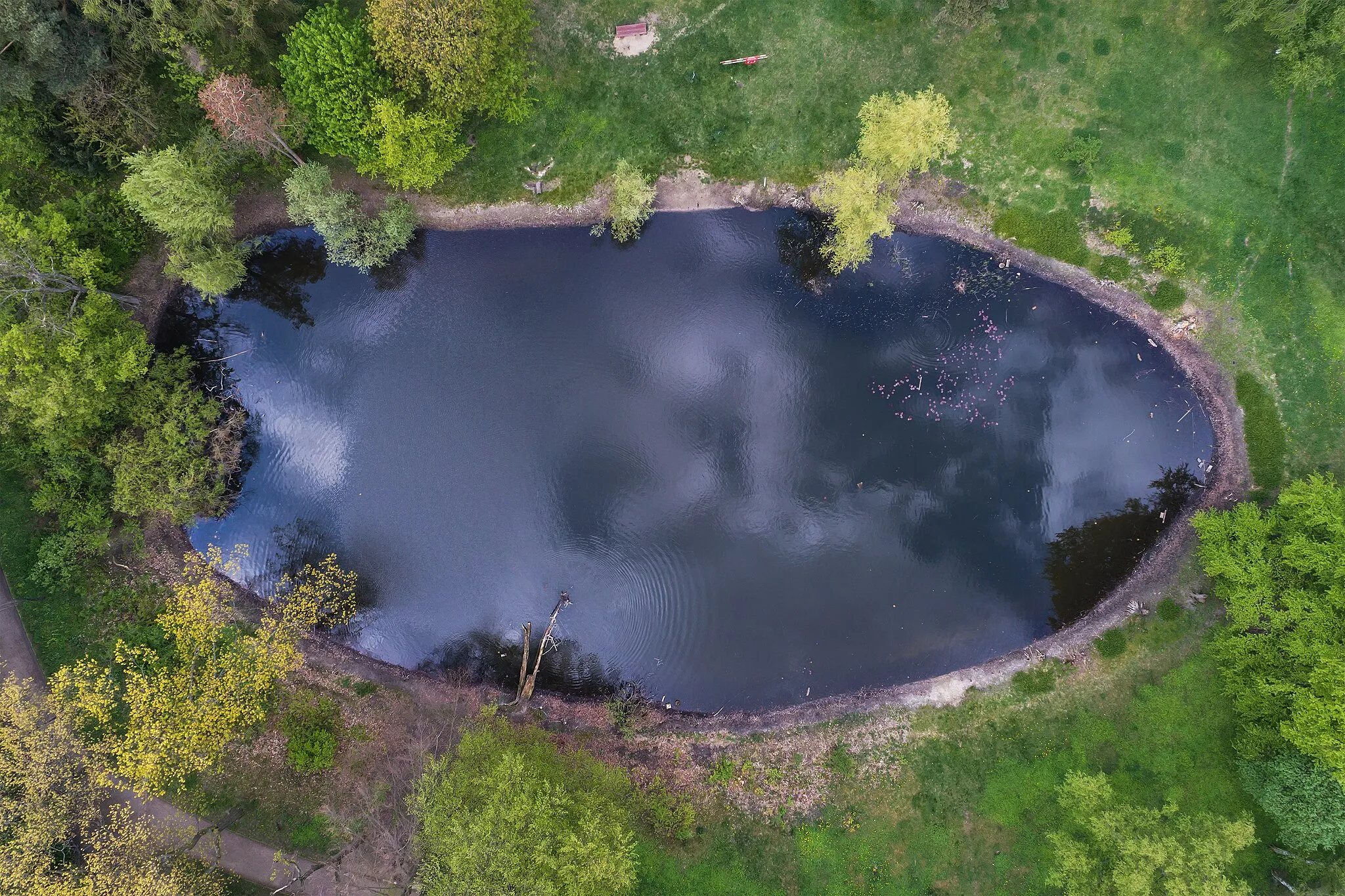
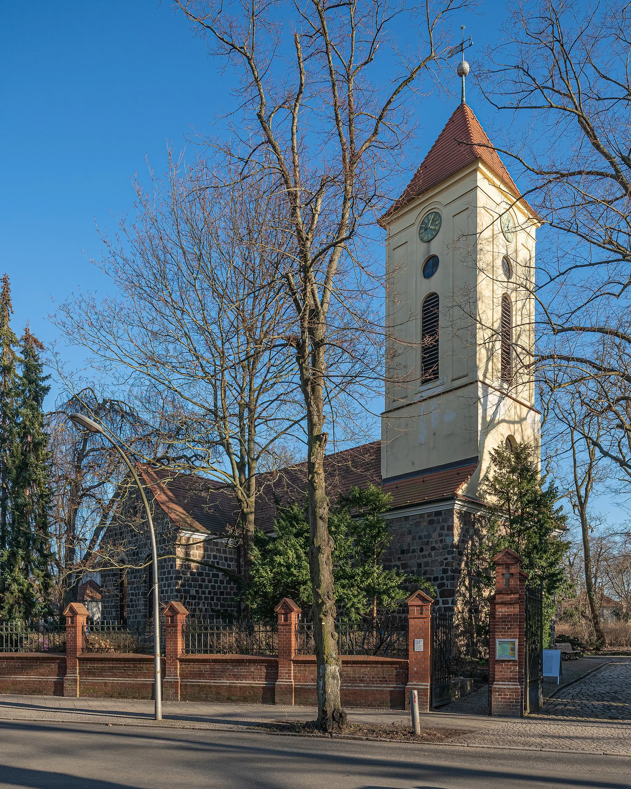
HeinersdorfVillageHeinersdorf is a charming village known for its picturesque streets and traditional half-timbered houses.
32 km
32 km
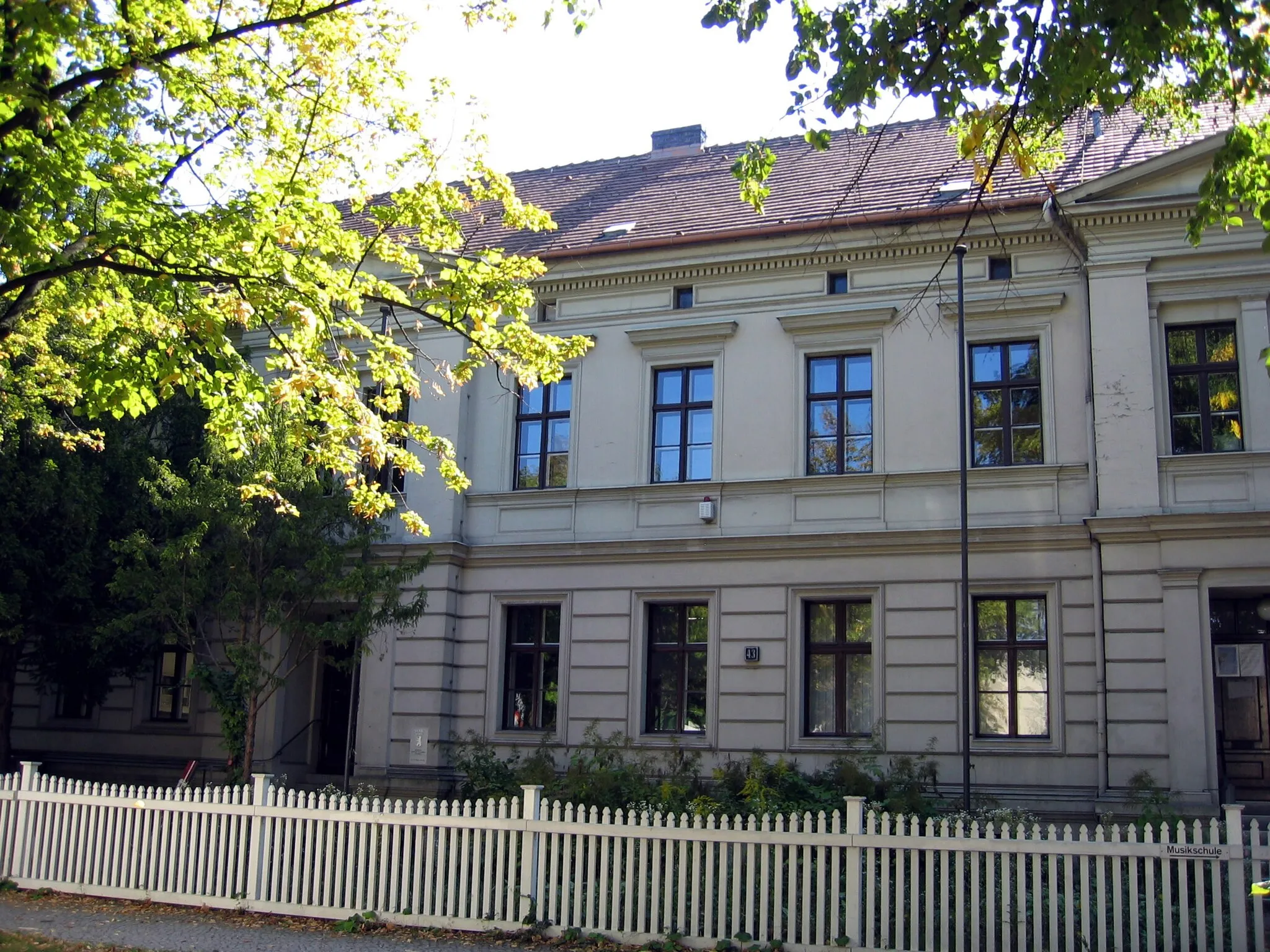
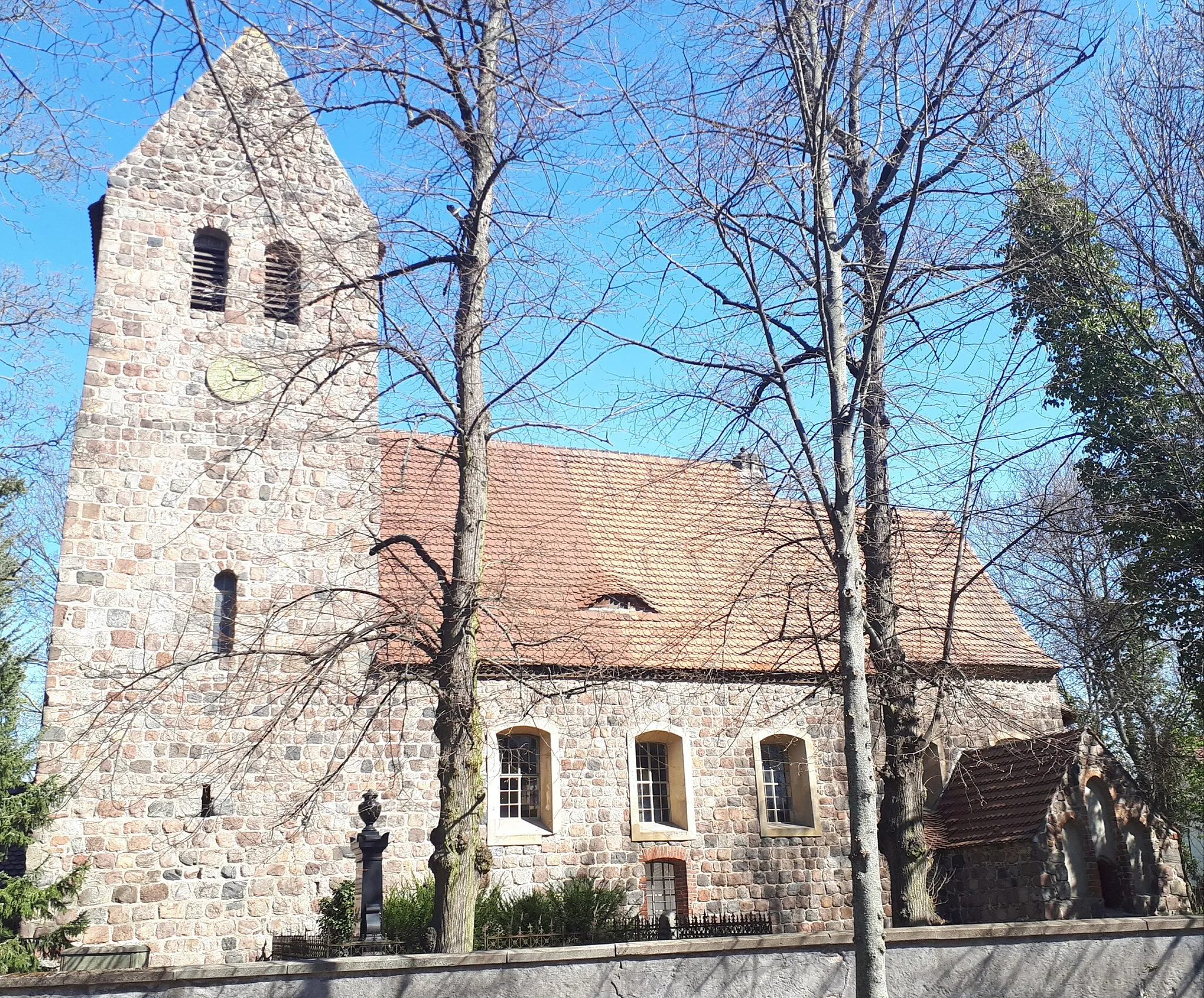
StahnsdorfTownStahnsdorf offers stunning views of the surrounding countryside and is perfect for a scenic stop.
48 km
48 km
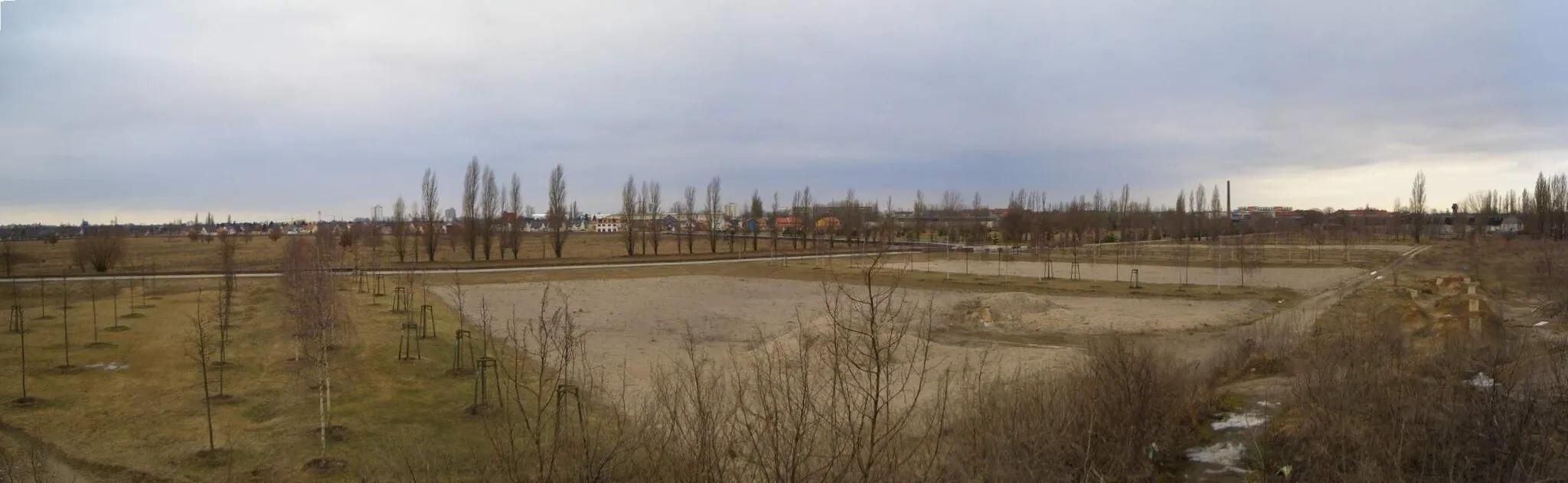
Insulaner78 mPeakInsulaner is a popular lookout point offering panoramic views of Berlin's skyline and the surrounding area.
51 km
51 km
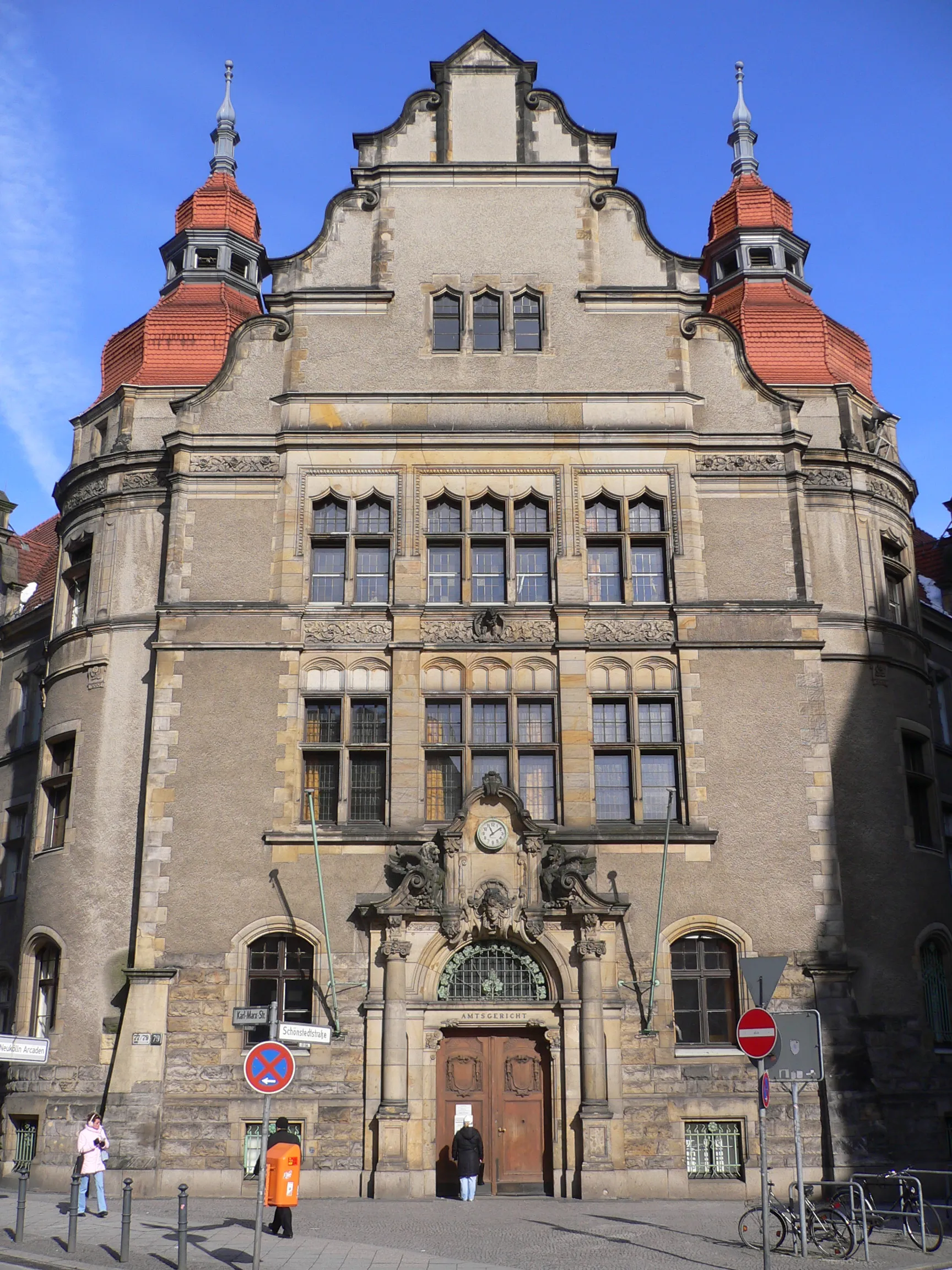
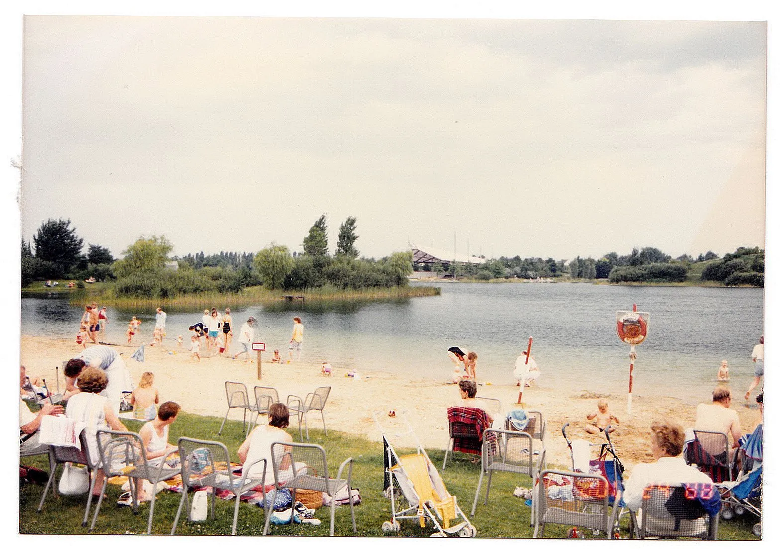
TempelhofSub-urbTempelhof is known for its historic buildings and vibrant atmosphere, making it a great place to explore during the ride.
56 km
56 km
Schloss BritzAttractionSchloss Britz is a beautiful castle surrounded by lush gardens and a must-visit attraction in the area.
56 km
56 km
Finish: Locality centerBritz: Cycling through Urban & Rural
Cycling routes from Britz:
Cycling routes nearby: