Gravel Pilgrimage
A gravel cycling route starting from Johannisthal
A sacred gravel journey through the outskirts of Berlin
Map
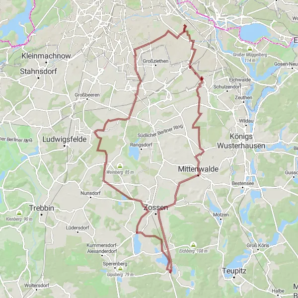
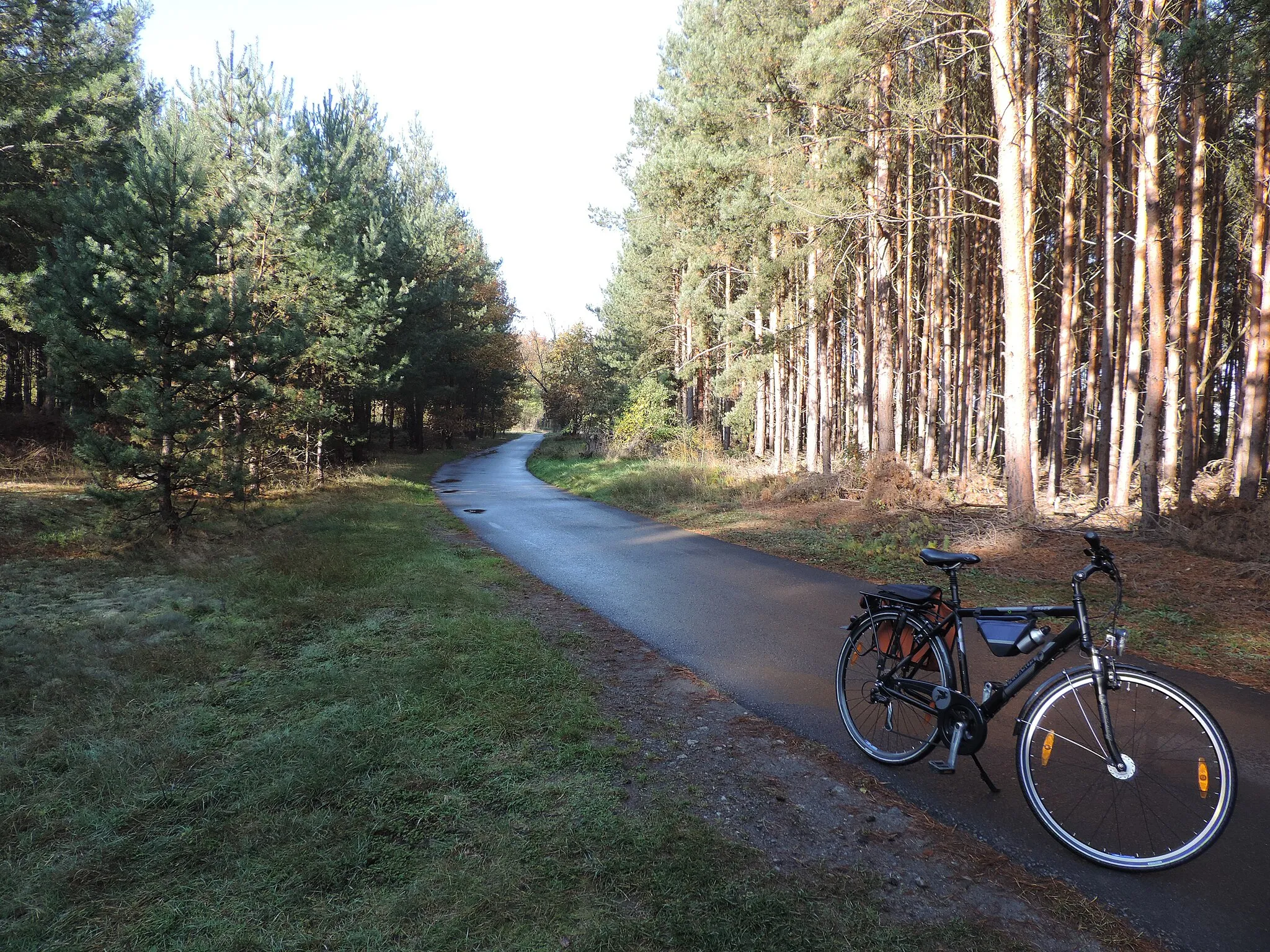
Embark on a distinct gravel pilgrimage through the outskirts of Berlin, covering 103 kilometers with 241 meters of ascent. This route takes you on a scenic adventure with unique highlights such as the Rudower Höhe, Siedlung Grüneck, Berliner Tor, and the Britzer Mühle. With a moderate level of difficulty and a high epicness rating, the Gravel Pilgrimage offers an exciting and challenging experience for well-trained amateurs.
gravel
103 km
241 m
Tough
Route profile
Highlights on the route
0 km
0 km
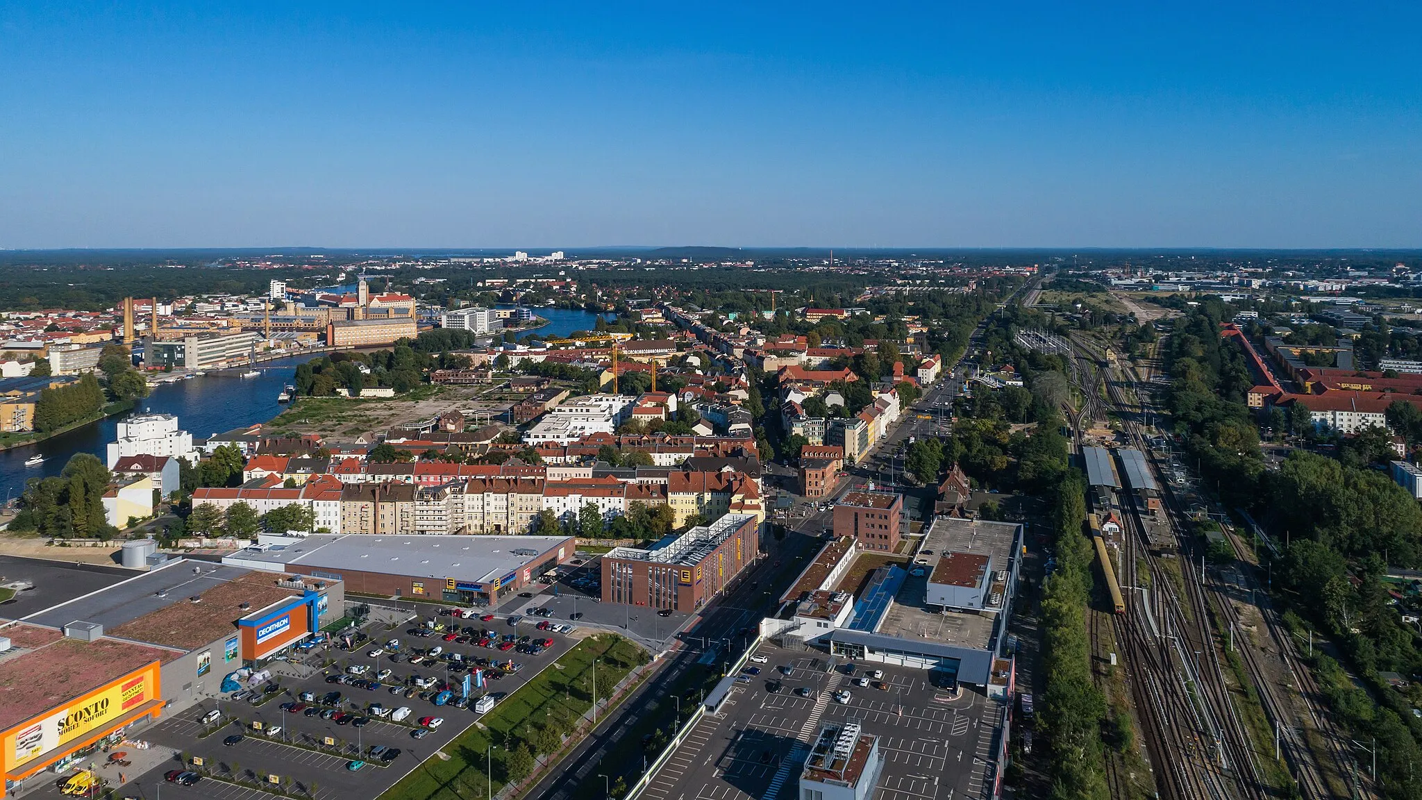
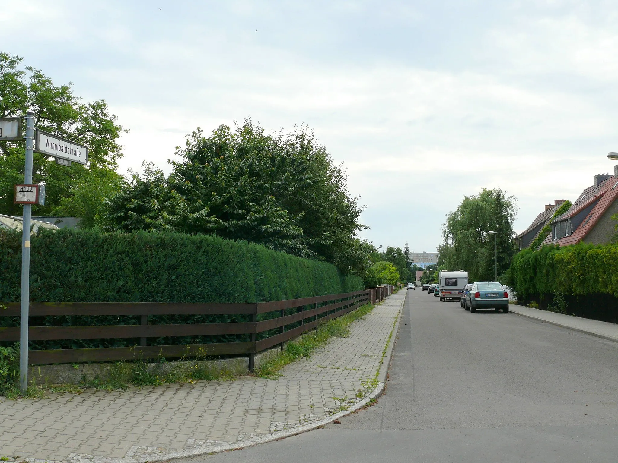
Start: Locality centerJohannisthal: Explore Berlin's Cycling Wonderland
Johannisthal, situated in Berlin, Germany, offers a versatile cycling experience with easy access to both road and gravel routes. The locality is surrounded by numerous parks and forests, providing a pleasant and verdant atmosphere for riders. Cyclists can enjoy exploring the extensive network of bike paths and scenic routes that connect Johannisthal to other parts of Berlin. A notable cycling spot nearby is Tempelhofer Feld, a former airport turned public park, which offers wide-open spaces for riders to enjoy. Johannisthal is a great location for cyclists looking for diverse riding options in a vibrant urban setting.4 km
4 km
Rudower Höhe70 mPeakVisit Rudower Höhe and enjoy panoramic views over the city.
5 km
5 km
Siedlung GrüneckHamletDiscover the picturesque Siedlung Grüneck and its charming architecture.
28 km
28 km
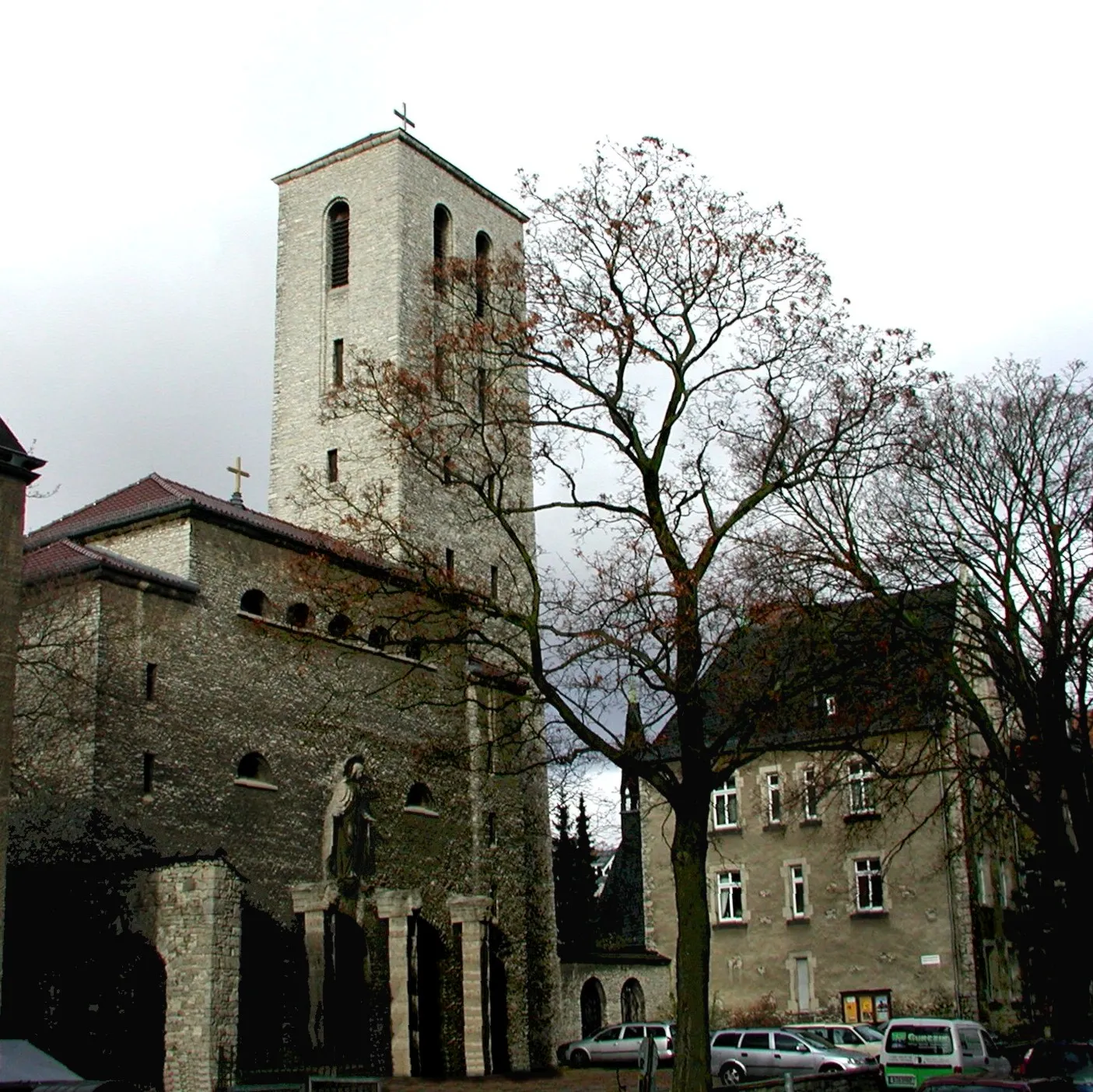
Berliner TorAttraction35 km
35 km
Mühlenberge77 mPeak48 km
48 km
NeuhofHamletPass by Neuhof and admire the quaint village atmosphere.
63 km
63 km
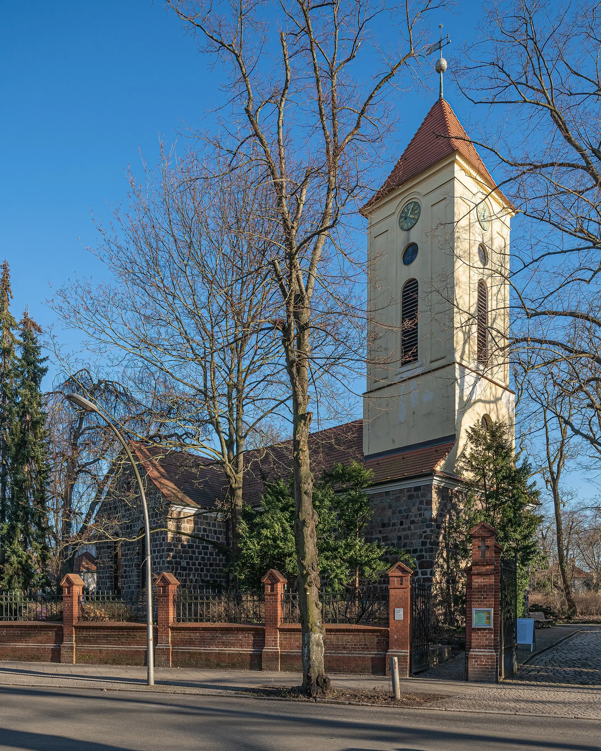
Nächst NeuendorfVillageExperience the tranquil surroundings of Nächst Neuendorf.
66 km
66 km
Zuckerberg61 mPeakExplore Zuckerberg, a historical site of cultural significance.
86 km
86 km
MahlowVillageMarvel at the natural beauty of Mahlow and its surrounding landscapes.
96 km
96 km
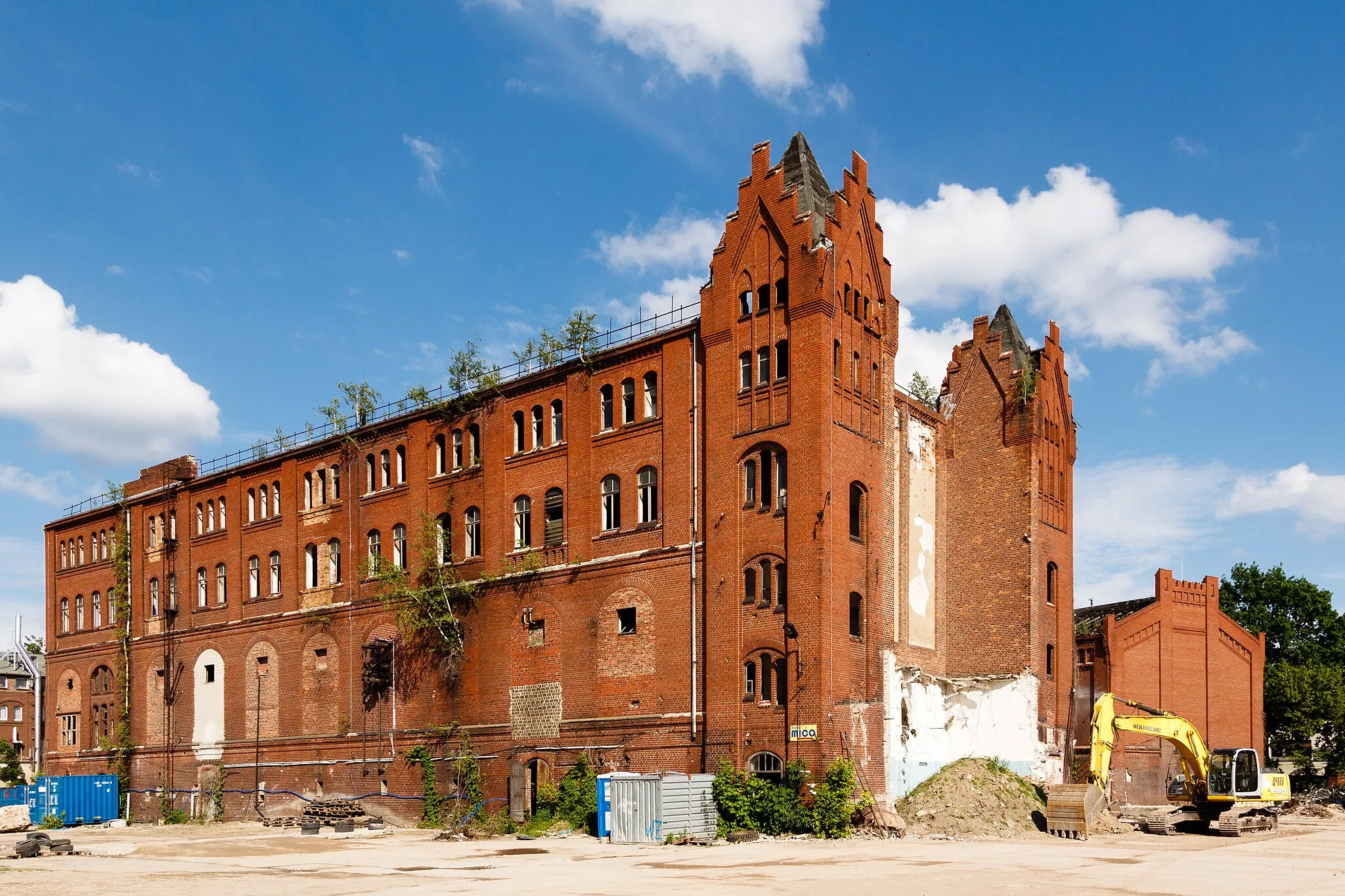
Britzer MühleAttractionMake a stop at the stunning Britzer Mühle, a popular regional landmark.
103 km
103 km
Finish: Locality centerJohannisthal: Explore Berlin's Cycling Wonderland
Cycling routes nearby: