Roads of Berlin
A road cycling route starting from Johannisthal
An exhilarating road adventure through the diverse landscapes of Berlin
Map

Embark on an exhilarating road adventure through the diverse landscapes of Berlin, covering 82 kilometers with 257 meters of ascent. Along the way, you'll encounter highlights such as Wachturm Schlesischer Busch, Mosaik, Dählingsberg, Schönerlinde, Rollberg, Bernau bei Berlin, Eiche, Gärten der Welt, and Johannisthal. With a moderate difficulty level, this route allows you to explore the wide range of cultural and natural attractions that Berlin has to offer.
road
82 km
257 m
Tough
Route profile
Highlights on the route
0 km
0 km
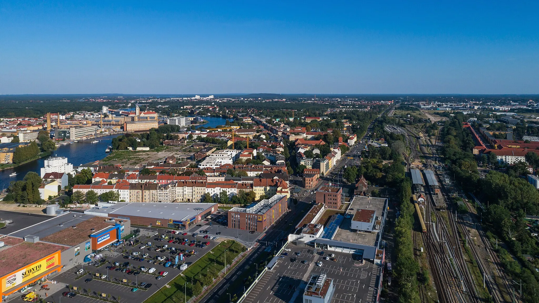
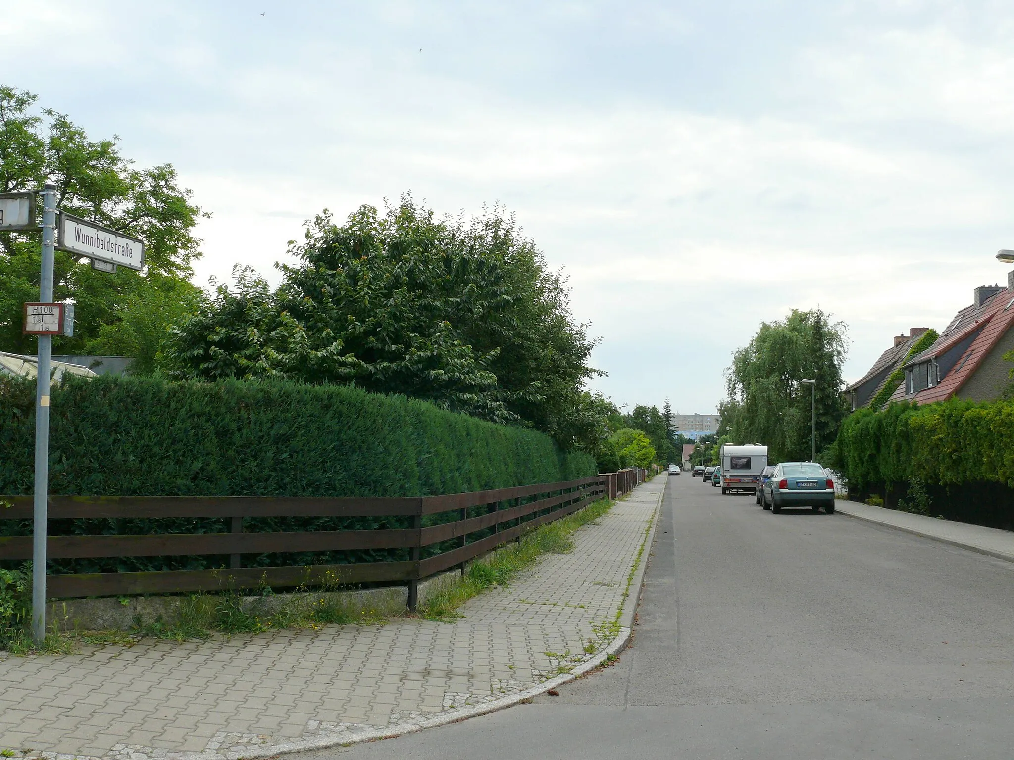
Start: Locality centerJohannisthal: Explore Berlin's Cycling Wonderland
Johannisthal, situated in Berlin, Germany, offers a versatile cycling experience with easy access to both road and gravel routes. The locality is surrounded by numerous parks and forests, providing a pleasant and verdant atmosphere for riders. Cyclists can enjoy exploring the extensive network of bike paths and scenic routes that connect Johannisthal to other parts of Berlin. A notable cycling spot nearby is Tempelhofer Feld, a former airport turned public park, which offers wide-open spaces for riders to enjoy. Johannisthal is a great location for cyclists looking for diverse riding options in a vibrant urban setting.7 km
7 km
Wachturm Schlesischer BuschAttractionDiscover the historical Wachturm Schlesischer Busch and its significance in Berlin's history.
16 km
16 km
MosaikViewpointAdmire the vibrant street art at Mosaik, showcasing Berlin's creative energy.
26 km
26 km
Dählingsberg56 mPeakClimb the challenging Dählingsberg to test your cycling skills.
29 km
29 km
SchönerlindeVillageExperience the tranquility of Schönerlinde and its picturesque surroundings.
48 km
48 km
Rollberg81 mPeakCycle through Rollberg and soak in the vibrant atmosphere of this bustling neighborhood.
49 km
49 km
Bernau bei BerlinTownExplore the charming town of Bernau bei Berlin and its historical architecture.
65 km
65 km
EicheVillagePass through the serene Eiche, a perfect spot for a pause.
68 km
68 km
Gärten der WeltViewpointImmerse yourself in the stunning Gärten der Welt, a world-class garden showcasing various landscape styles.
82 km
82 km
JohannisthalSub-urbJohannisthal, a friendly cycling neighborhood known for its beautiful routes and cycling community.
82 km
82 km
Finish: Locality centerJohannisthal: Explore Berlin's Cycling Wonderland
Cycling routes nearby: