Berlin Gravel Exploration
A gravel cycling route starting from Niederschoeneweide
Embark on an adventurous gravel expedition in Berlin's outskirts.
Map
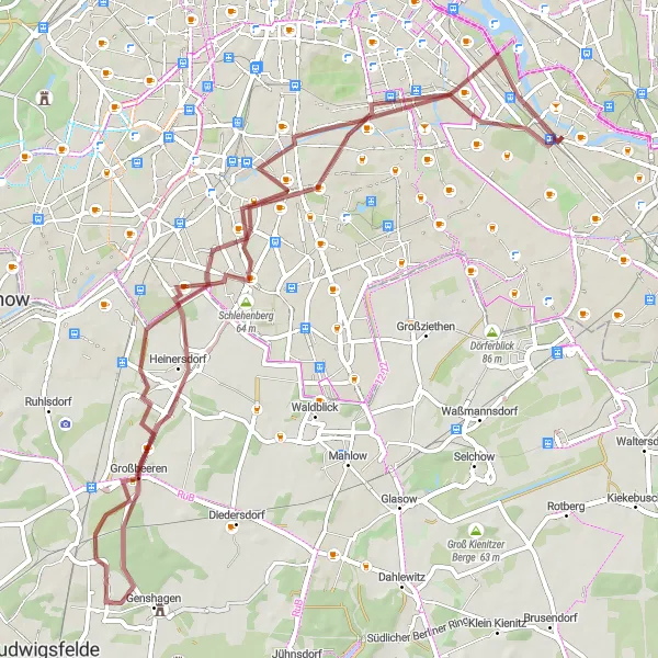
Uncover the hidden treasures of Berlin's outskirts with this captivating gravel route. Spanning a distance of 65 kilometers and an ascent of 125 meters, this expedition promises scenic views, cultural landmarks, and off-the-beaten-path discoveries. From the charming Inselspitze - Kap Stralau to the historic district of Tempelhof, this route introduces you to both natural and architectural wonders. Get ready to experience the diverse landscapes and rich history that Berlin's outskirts have to offer.
gravel
65 km
125 m
Tough
Route profile
Highlights on the route
0 km
0 km
Start: Locality centerNiederschöneweide: Urban cycling exploration in the heart of Berlin
Niederschöneweide, Germany is a district located in Berlin. While it may not offer any famous cycling spots or natural landscapes, Niederschöneweide is still suitable for cyclists looking to explore the city on two wheels. The district is well-connected with cycling paths, allowing riders to easily navigate the busy streets and discover the various attractions and cultural sites that Berlin has to offer. Cyclists can enjoy the vibrant atmosphere of the city while pedaling through historic neighborhoods and iconic landmarks. While not a cycling paradise in the traditional sense, Niederschöneweide provides a unique urban cycling experience for those looking to combine their love for cycling with exploring a bustling city.3 km
3 km
Inselspitze - Kap StralauViewpointInselspitze - Kap Stralau is a delightful peninsula located at the confluence of the Spree and Rummelsburger Lake. Enjoy a serene moment surrounded by water while appreciating the panoramic views.
11 km
11 km
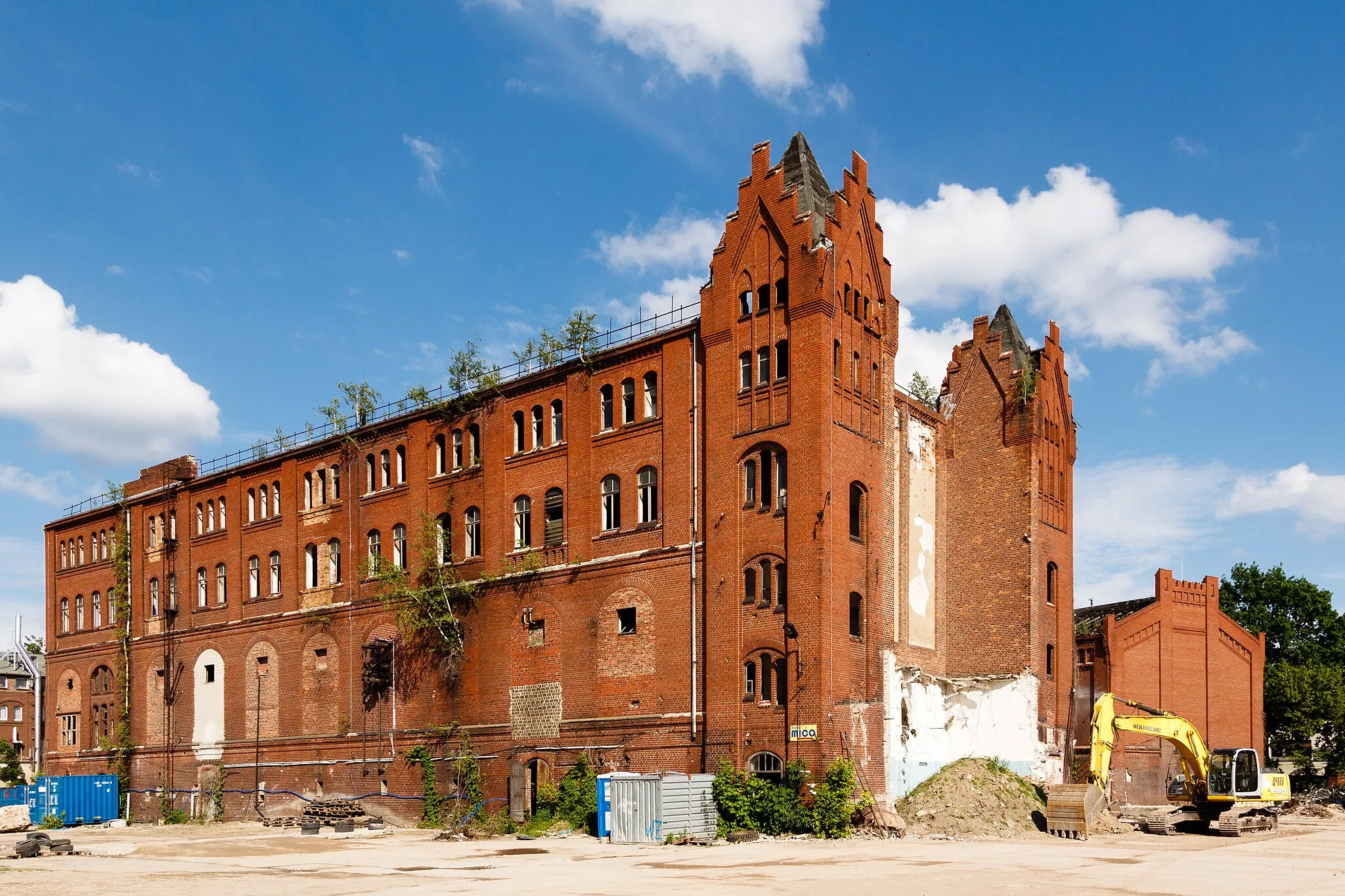
TempelhofSub-urbTempelhof was once one of the world's largest airports and played a significant role during WWII. Discover the abandoned runways and visit the Tempelhof Field, a vast public park that occupies the former airport grounds.
23 km
23 km
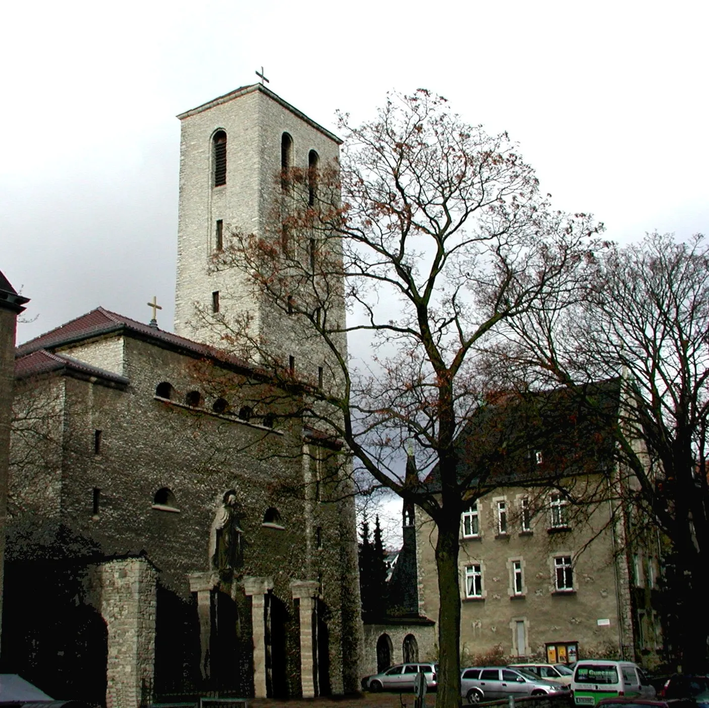
HeinersdorfVillageHeinersdorf charms visitors with its peaceful and picturesque streets. Marvel at the historic buildings and enjoy a relaxed ride through this quaint neighborhood.
29 km
29 km
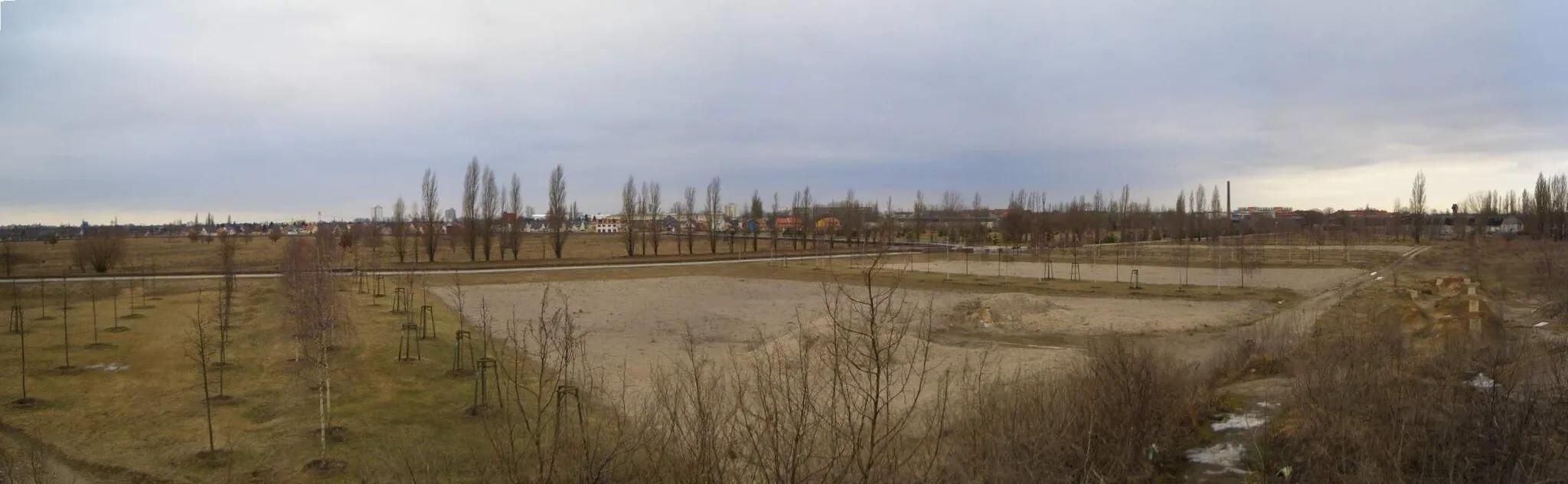
Technikdenkmal RieselfeldViewpointThe Technikdenkmal Rieselfeld showcases the engineering triumphs of Berlin's former sewage irrigation system. Explore the preserved structures and learn about the city's infrastructure history.
39 km
39 km
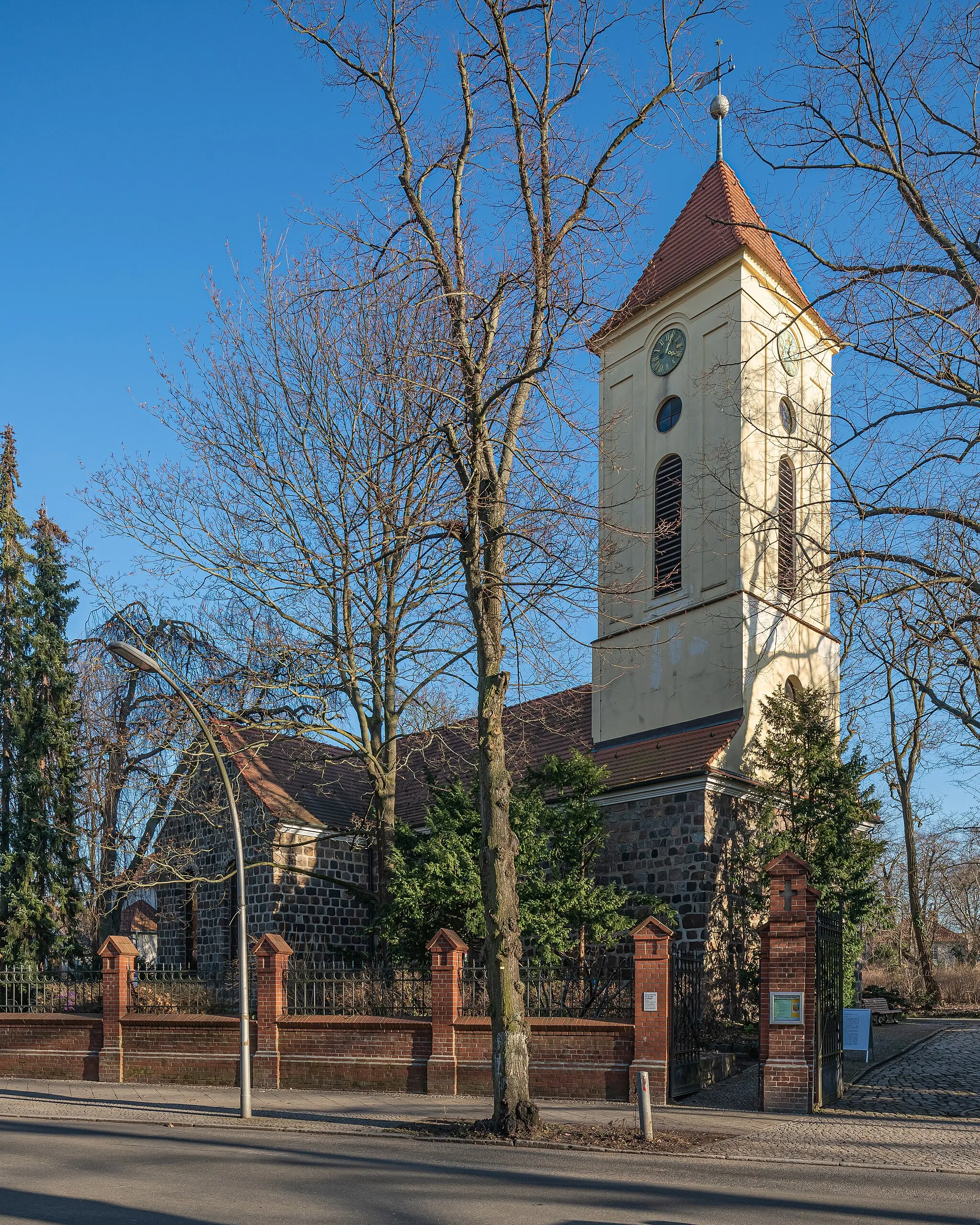
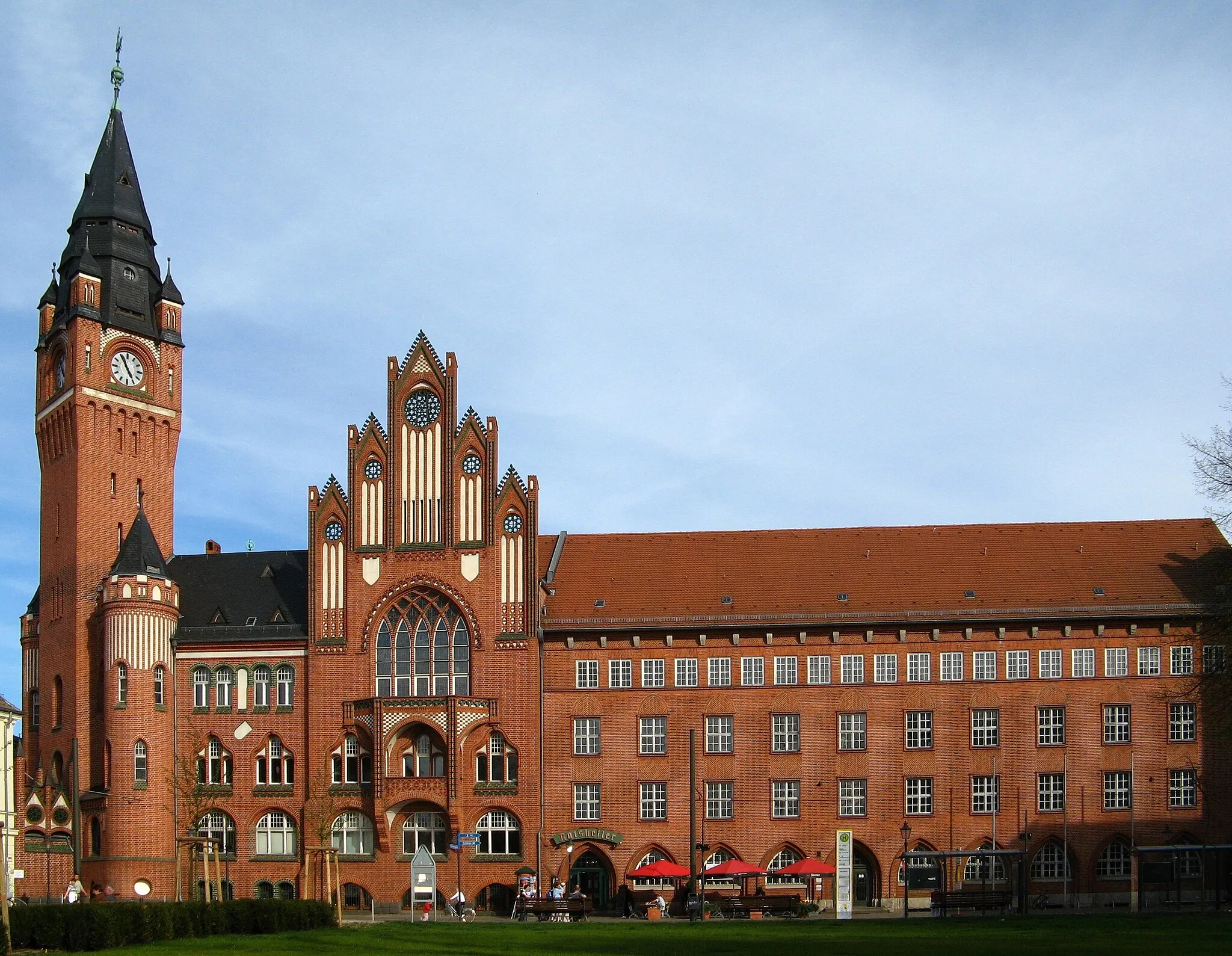
GroßbeerenVillageGroßbeeren is steeped in history, being the site of a famous battle during the Napoleonic Wars. Ride past the Großbeeren Tower and delve into the area's fascinating military past.
47 km
47 km
FliegerbergViewpointThe Fliegerberg is an artificial hill made from WWII rubble, offering panoramic views of the surrounding area. Take a break from your ride and enjoy the scenic vistas.
65 km
65 km
JohannisthalSub-urbJohannisthal is a district with significant historical importance in aviation. Marvel at the contrasts between the modern technology park and the remnants of early flying experiments.
65 km
65 km
Finish: Locality centerNiederschöneweide: Urban cycling exploration in the heart of Berlin
Cycling routes from Niederschoeneweide:
Scenic Gravel Ride to Müggelturm Berlin's Eastern Delight Berlin Gravel Adventure Berlin Road Tour Historical Berlin Gravel Tour Berlin Gravel Exploration Kreuzberg and Beyond Berlin Extended Road Tour Gravel Adventure to Altlandsberg Berlin's Riverside Ride Berlin Road Adventure Berlin Gravel Adventure Berlin Gravel Loop
Cycling routes nearby: