Berlin Road Tour
A road cycling route starting from Niederschoeneweide
Embark on a captivating road tour through Berlin's diverse neighborhoods.
Map
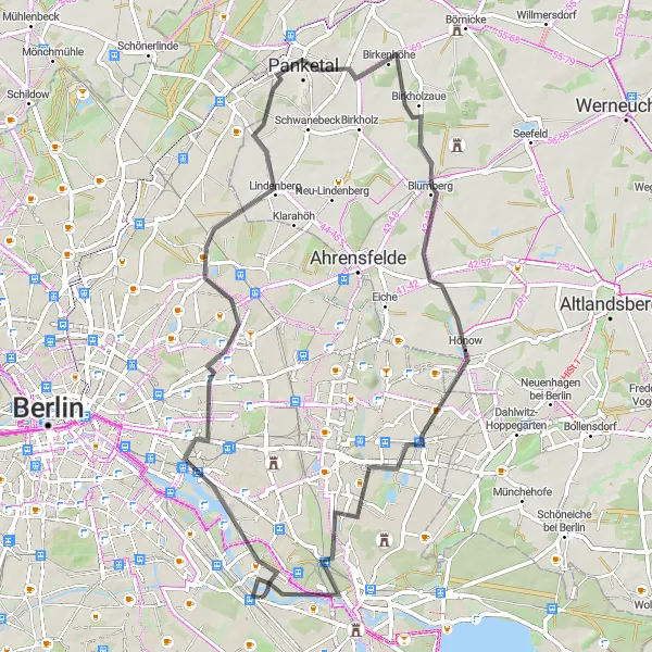
Experience the vibrant streets of Berlin's neighborhoods with this captivating road tour. Covering a distance of 65 kilometers with an ascent of 131 meters, this route takes you through the heart of the city and its surrounding areas. Discover iconic landmarks, historic sites, and cultural attractions as you pedal along the well-paved roads. From the elevated viewpoint of Sowjetisches Ehrenmal to the picturesque Biesdorfer Höhe, this tour offers a fascinating journey through Berlin's urban tapestry.
road
65 km
131 m
Tough
Route profile
Highlights on the route
0 km
0 km
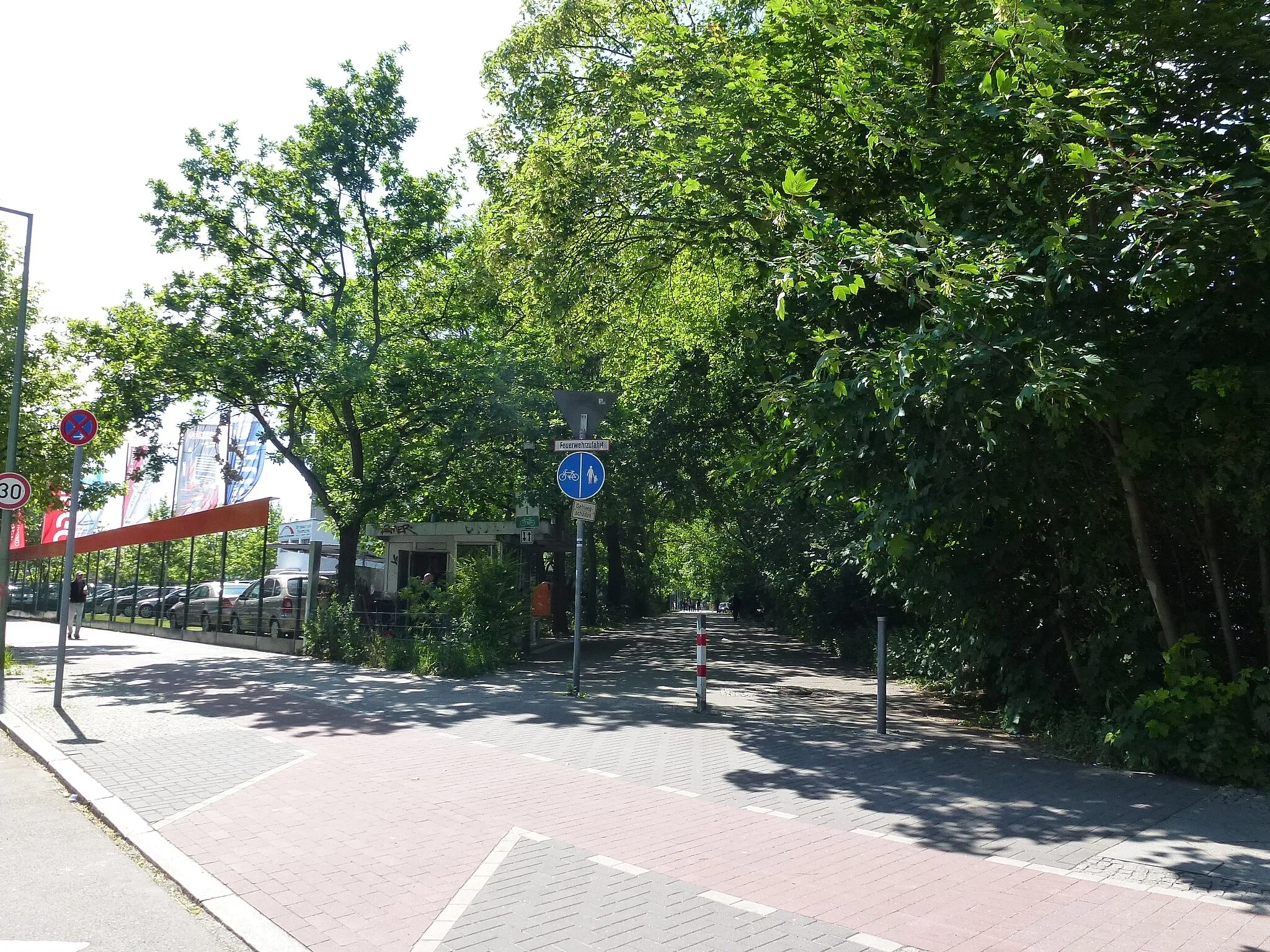
Start: Locality centerNiederschöneweide: Urban cycling exploration in the heart of Berlin
Niederschöneweide, Germany is a district located in Berlin. While it may not offer any famous cycling spots or natural landscapes, Niederschöneweide is still suitable for cyclists looking to explore the city on two wheels. The district is well-connected with cycling paths, allowing riders to easily navigate the busy streets and discover the various attractions and cultural sites that Berlin has to offer. Cyclists can enjoy the vibrant atmosphere of the city while pedaling through historic neighborhoods and iconic landmarks. While not a cycling paradise in the traditional sense, Niederschöneweide provides a unique urban cycling experience for those looking to combine their love for cycling with exploring a bustling city.5 km
5 km
Inselspitze - Kap StralauViewpointInselspitze - Kap Stralau is a delightful peninsula located at the confluence of the Spree and Rummelsburger Lake. Enjoy a serene moment surrounded by water while appreciating the panoramic views.
12 km
12 km
Sowjetisches EhrenmalAttractionSoviet War Memorial (Sowjetisches Ehrenmal) is dedicated to the Soviet soldiers who fell during the Battle of Berlin. Admire the memorial's imposing sculptures and reflect on the historical significance.
25 km
25 km
Stener Berg77 mPeakStener Berg is a small hill in Berlin's Grünewald forest, offering beautiful panoramic views of the city. Take a break and savor the scenic vistas.
28 km
28 km
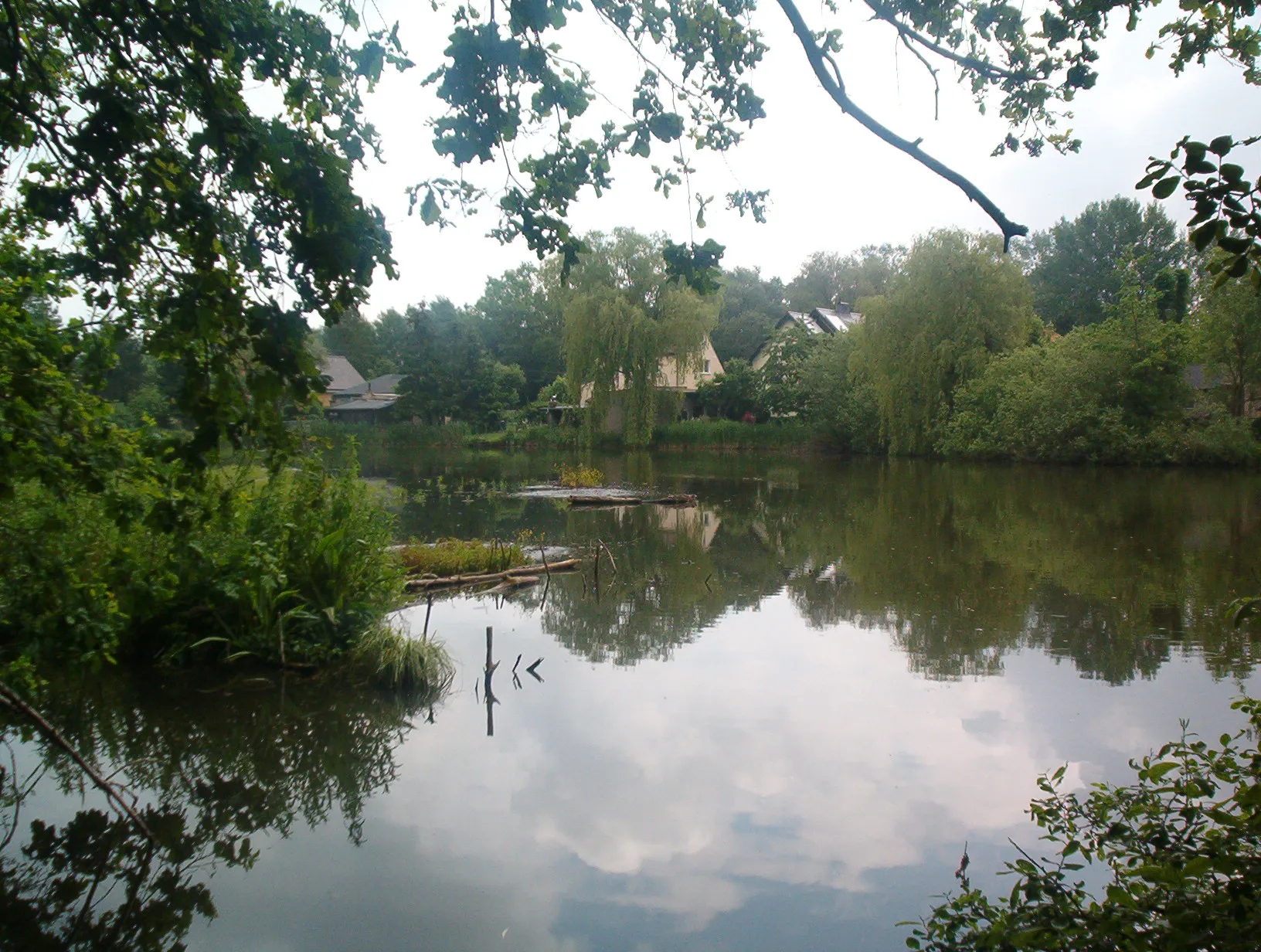
PanketalTownPanketal is a town known for its quaint charm and panoramic countryside views of the Barnim Nature Park. Immerse yourself in the peaceful ambiance of this idyllic area.
46 km
46 km
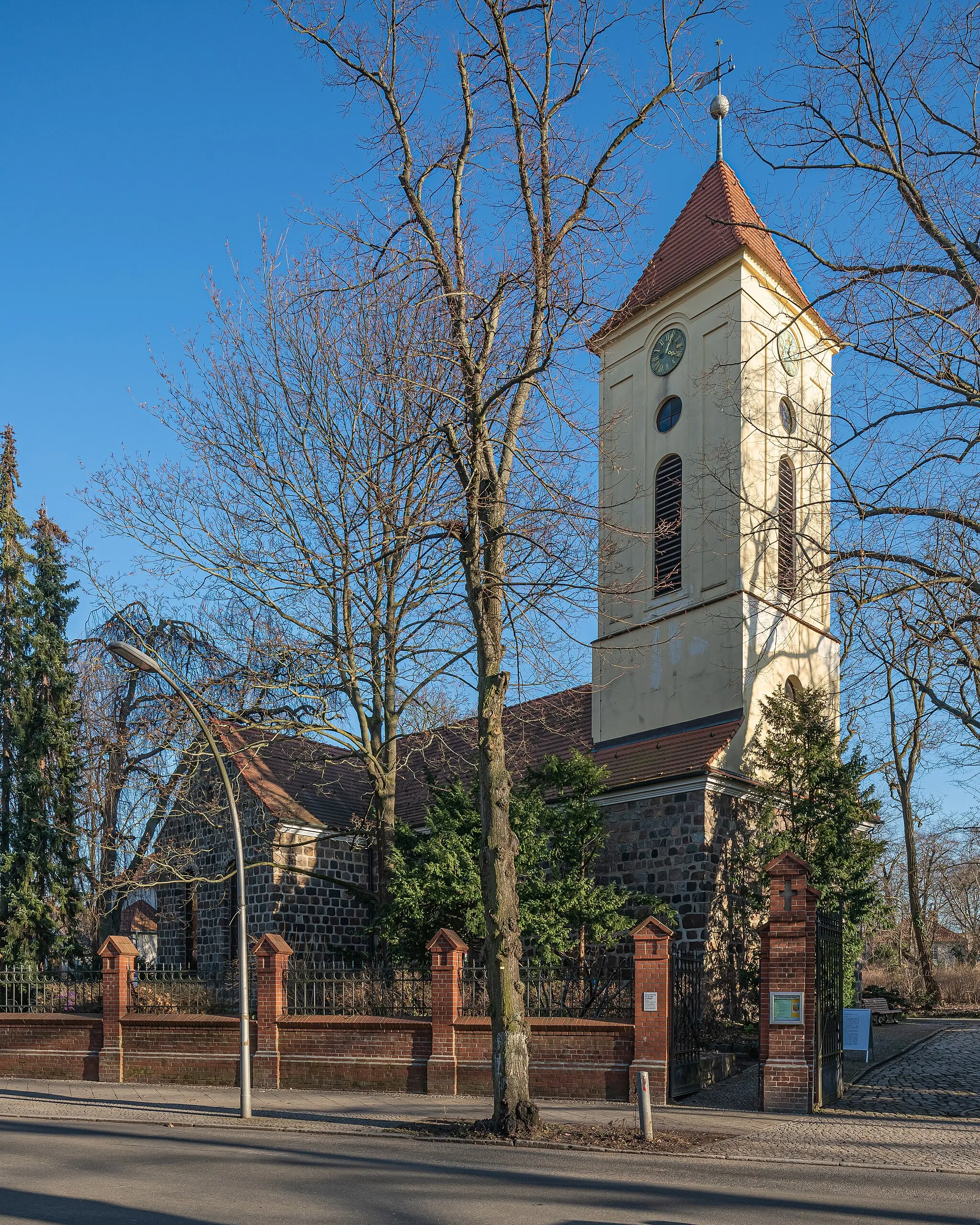
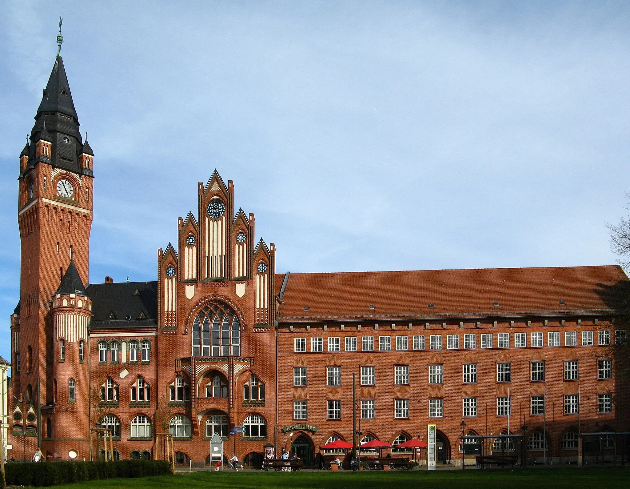
HönowVillageHönow is home to the charming Hönow Castle, a testament to Germany's rich architectural heritage. Marvel at the picturesque setting and the castle's stunning neoclassical design.
53 km
53 km
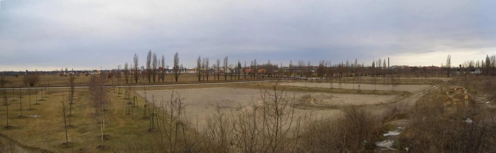
Biesdorfer Höhe81 mPeakBiesdorfer Höhe is an elevated viewpoint that offers panoramic views of Berlin's eastern suburbs. Take in the breathtaking scenery and appreciate the vastness of the city.
61 km
61 km
PräriehundeAttractionPräriehunde, or prairie dogs, inhabit a designated area within Berlin's Tierpark zoo. Observe these curious creatures as they go about their daily activities.
65 km
65 km
Finish: Locality centerNiederschöneweide: Urban cycling exploration in the heart of Berlin
Cycling routes from Niederschoeneweide:
Scenic Gravel Ride to Müggelturm Berlin's Eastern Delight Berlin Gravel Adventure Berlin Road Tour Historical Berlin Gravel Tour Berlin Gravel Exploration Kreuzberg and Beyond Berlin Extended Road Tour Gravel Adventure to Altlandsberg Berlin's Riverside Ride Berlin Road Adventure Berlin Gravel Adventure Berlin Gravel Loop
Cycling routes nearby: