Berlin Loop
A road cycling route starting from Rummelsburg
Discover the diverse landscapes of Berlin on this round-trip cycling route
Map
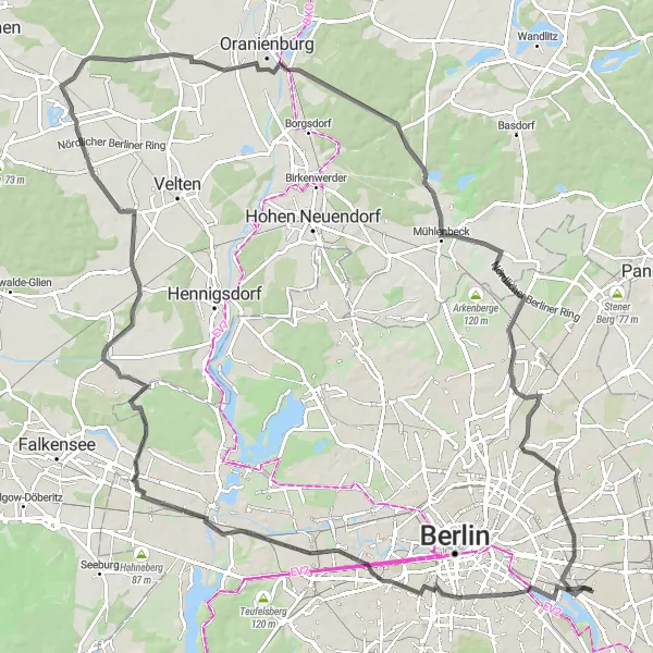
Embark on a thrilling cycling adventure through Berlin and experience a mix of urban areas, scenic countryside, and historical landmarks. This route takes you on a 106 km loop that showcases the city's rich history and natural beauty. From the iconic Oberbaumbrücke to the panoramic views at Panoramapoint, and from the historic district of Spandau to the tranquil Mathiasberg, each highlight along the way offers a unique glimpse into Berlin's past and present. Whether you're a local or a visitor, this journey promises an unforgettable experience.
road
106 km
336 m
Tough
Route profile
Highlights on the route
0 km
0 km
Start: Locality centerRummelsburg: Urban cycling in Berlin near Rummelsburger See.
Rummelsburg, located in Berlin, Germany, offers cycling opportunities through its urban landscapes. Cyclists can ride through the city streets and explore nearby parks and green spaces. Rummelsburg, being part of Berlin, provides access to the city's cycling infrastructure and network of bike paths, making it a convenient and enjoyable locality for cyclists. Additionally, Rummelsburg is known for its proximity to the Rummelsburger See, a popular spot for water sports and outdoor activities. With its urban cycling options and recreational offerings, Rummelsburg is an attractive destination for cyclists.4 km
4 km
OberbaumbrückeAttractionCross the famous Oberbaumbrücke, an iconic symbol of Berlin's reunification, and marvel at its stunning architecture and views of the city skyline.
9 km
9 km
PanoramapointViewpointAscend Panoramapoint, one of the highest points in Berlin, and be rewarded with breathtaking panoramic views of the city's skyline and landmarks.
23 km
23 km
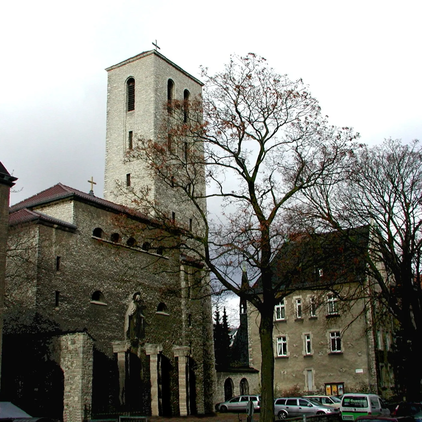
SpandauSub-urbExplore the historic district of Spandau, known for its charming old town, medieval fortress, and picturesque waterfront.
44 km
44 km
Mathiasberg50 mPeakConquer Mathiasberg, a challenging climb that offers stunning vistas of the surrounding countryside and a sense of accomplishment.
45 km
45 km
MarwitzSub-urbPass through Marwitz, a tranquil rural area with beautiful landscapes and charming villages.
53 km
53 km
SchwanteSub-urbCycle through Schwante, a picturesque village known for its well-preserved historic architecture and peaceful surroundings.
58 km
58 km
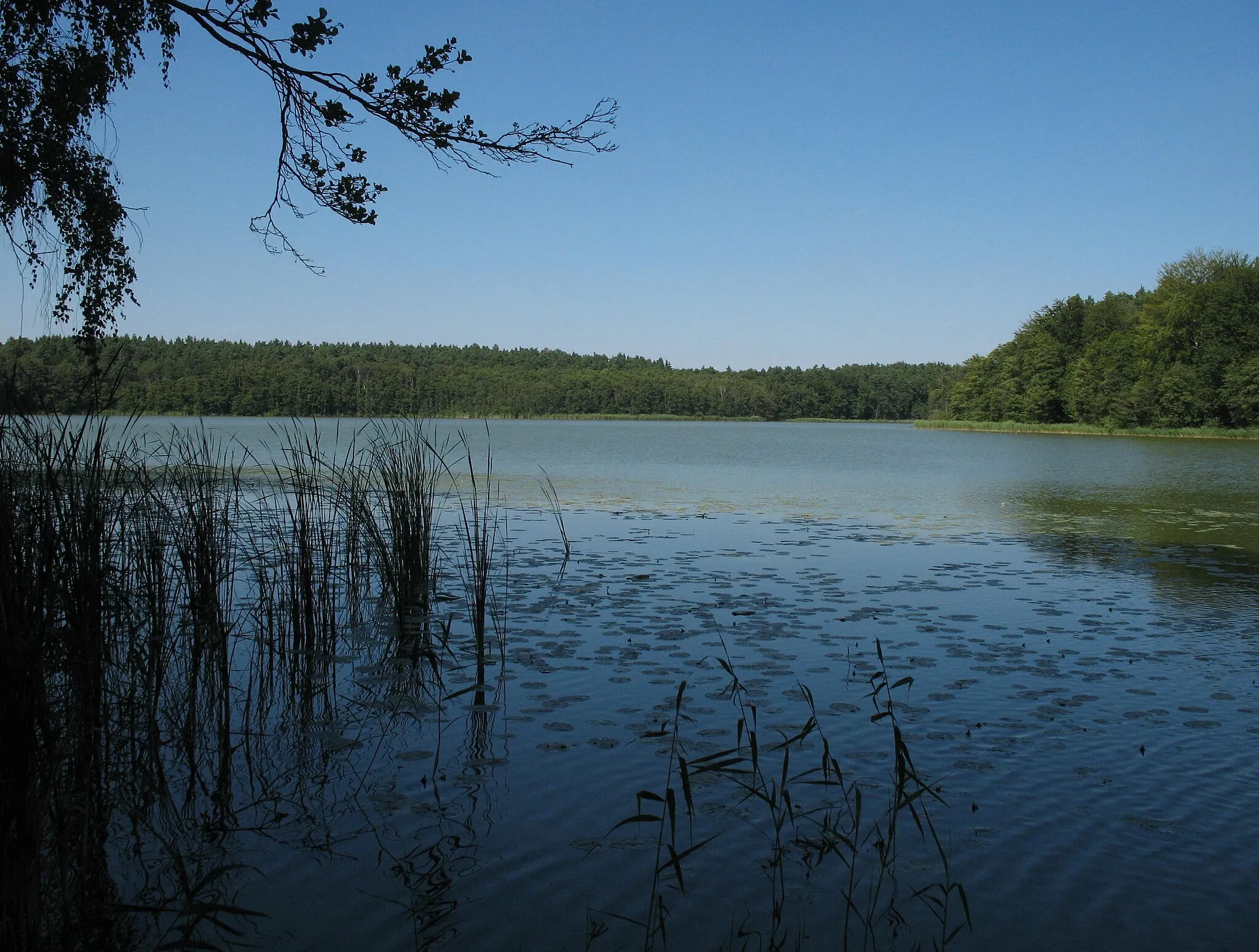
Vulkan50 mPeak ViewpointDiscover the remnants of an ancient volcano at Vulkan, where the landscape is dotted with unique rock formations.
77 km
77 km
SummtVillageReach the summit of Summt, a challenging climb that offers panoramic views of the rolling countryside.
86 km
86 km
Dählingsberg56 mPeakHike to the top of Dählingsberg, an impressive hill that offers sweeping views of the surrounding forests and lakes.
97 km
97 km
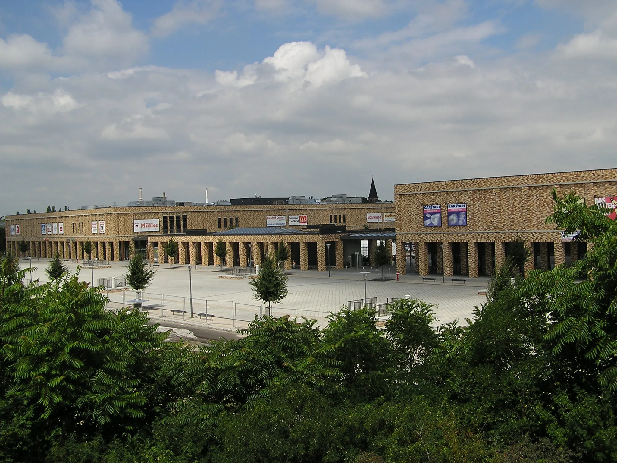
Motorwerk BerlinAttractionVisit Motorwerk Berlin, a historic factory turned cultural hub, and learn about the city's industrial heritage and creative scene.
105 km
105 km
RummelsburgSub-urbStart and end your journey in Rummelsburg, a vibrant neighborhood located on the banks of the Spree River.
106 km
106 km
Finish: Locality centerRummelsburg: Urban cycling in Berlin near Rummelsburger See.
Cycling routes from Rummelsburg:
Road Route: The Müggelheim Challenge Road Route: Berlin Dungeon Joyride Gravel Route: Schloss Biesdorf Expedition Gravel Route: The Johannisthal Adventure Road Cycling Adventure to Schmöckwitz Gravel Tour to Die Pyramide Berlin Loop Gravel Route: The Seelenparadies Expedition Scenic Gravel Ride to Bieselberg Road Cycling Tour to Borsigdamm
Cycling routes nearby: