Berlin Gravel Adventure
A gravel cycling route starting from Tegel
Explore the outskirts of Berlin on this thrilling gravel bike route
Map
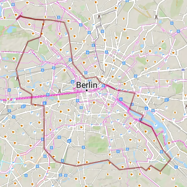
This round-trip cycling route near Tegel offers adventurers the opportunity to explore the outskirts of Berlin and experience a mix of urban, rural, and historical attractions. The route is suitable for gravel bikes and covers a distance of 56 kilometers with an ascent of 209 meters. Cyclists will encounter several interesting highlights along the way.
gravel
56 km
209 m
Tough
Route profile
Highlights on the route
0 km
0 km
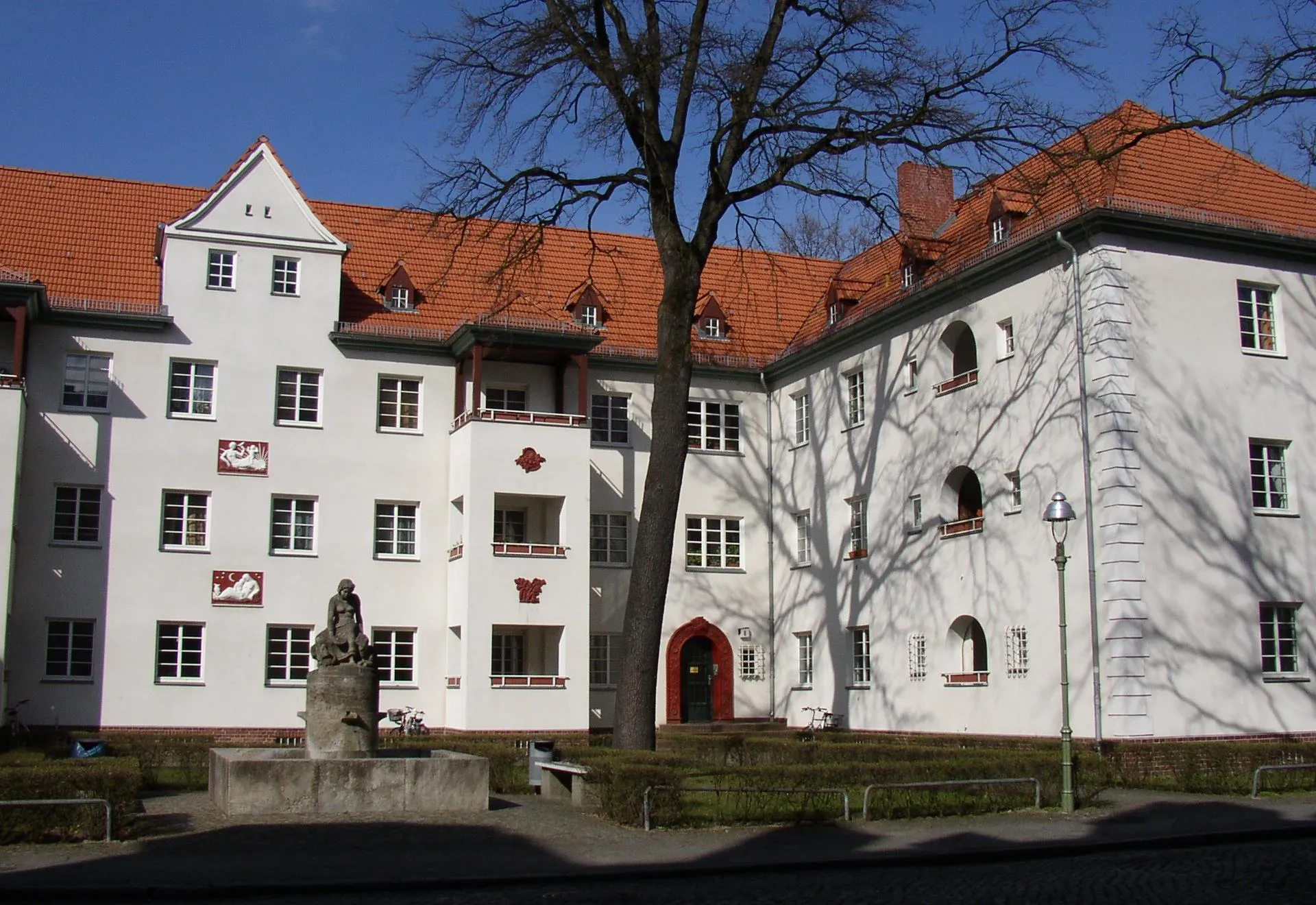
Start: Locality centerTegel: Discover Berlin's cycling-friendly neighborhood
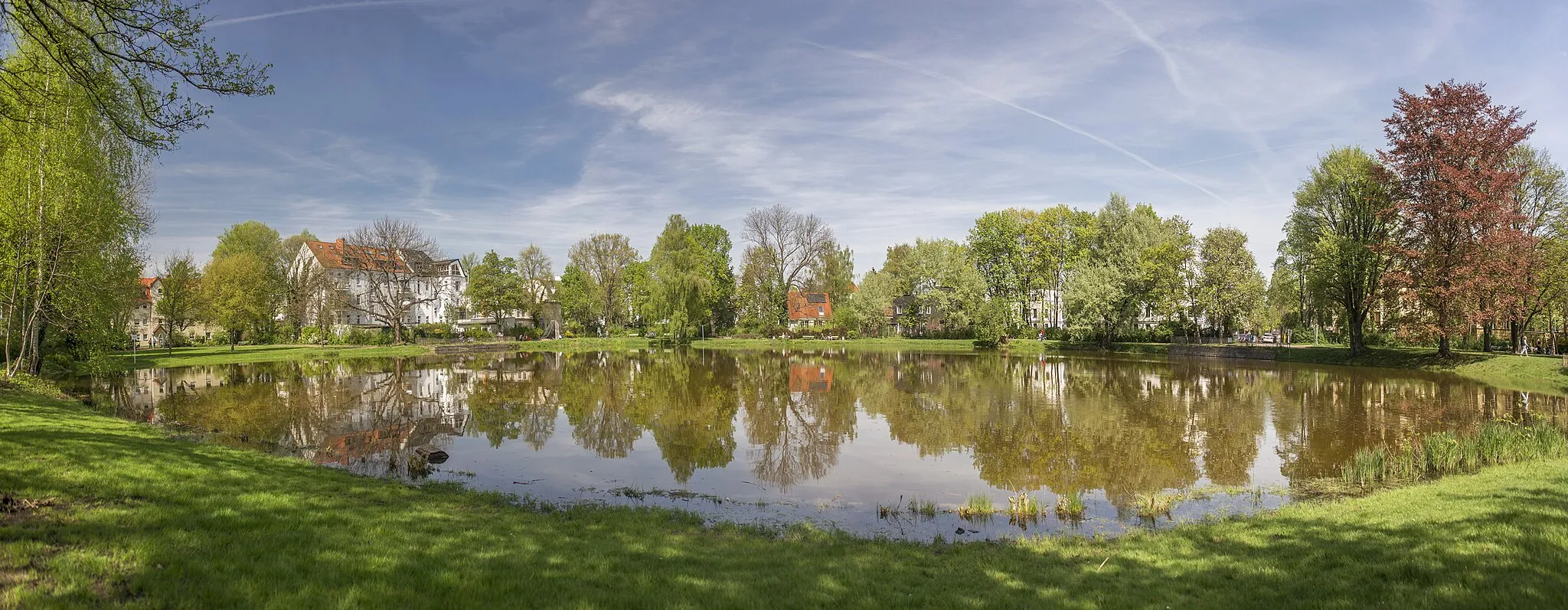
Tegel is a locality situated in Berlin, Germany. As a cyclist, Tegel provides convenient access to a variety of cycling routes and paths within Berlin. The city offers a comprehensive cycling infrastructure, making cycling in Tegel safe and enjoyable. Cyclists can explore the city's vibrant neighborhoods, iconic landmarks, and historic sites. Tegel is also located near the beautiful Tegeler See, a lake that offers a scenic cycling route around its shores. While Tegel may not have any legendary climbs or famous cycling locations, it provides a cyclist-friendly environment and plenty of attractions to discover.12 km
12 km
Fernsehturm BerlinAttractionLocated approximately 12 kilometers into the route is the Fernsehturm Berlin, one of the city's most iconic landmarks. Stop by for panoramic views of Berlin.
13 km
13 km
Großer Bunkerberg78 mPeakAt the 13-kilometer mark, discover the Großer Bunkerberg, a historic World War II bunker complex with underground tunnels.
20 km
20 km
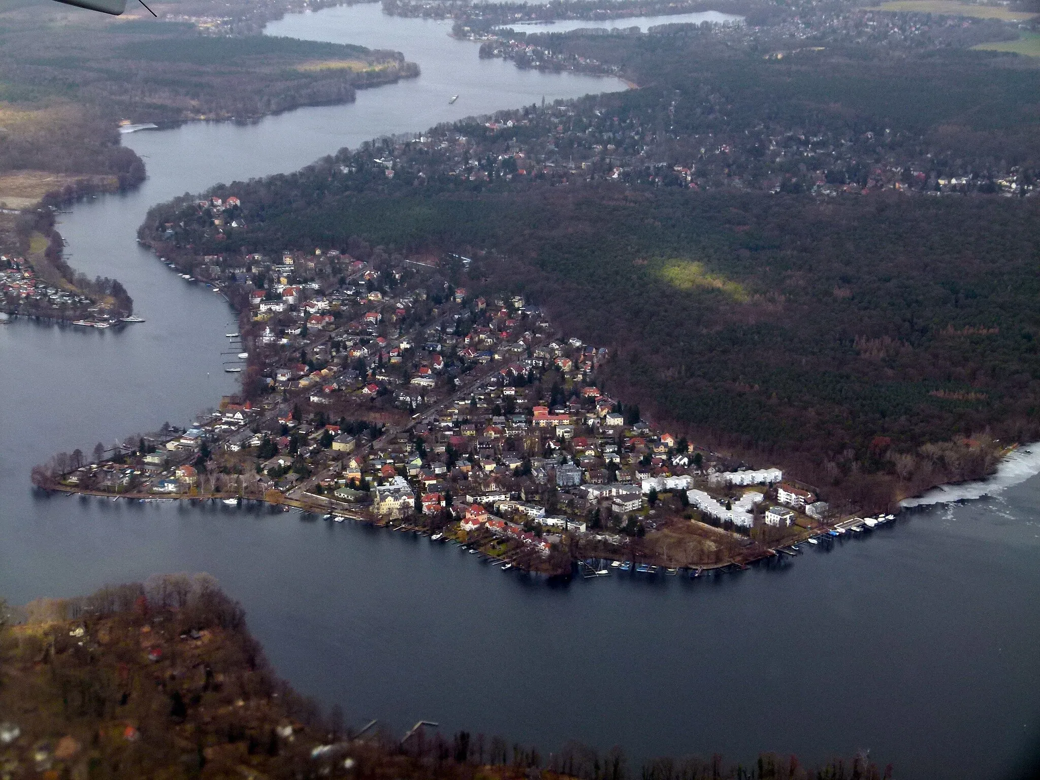
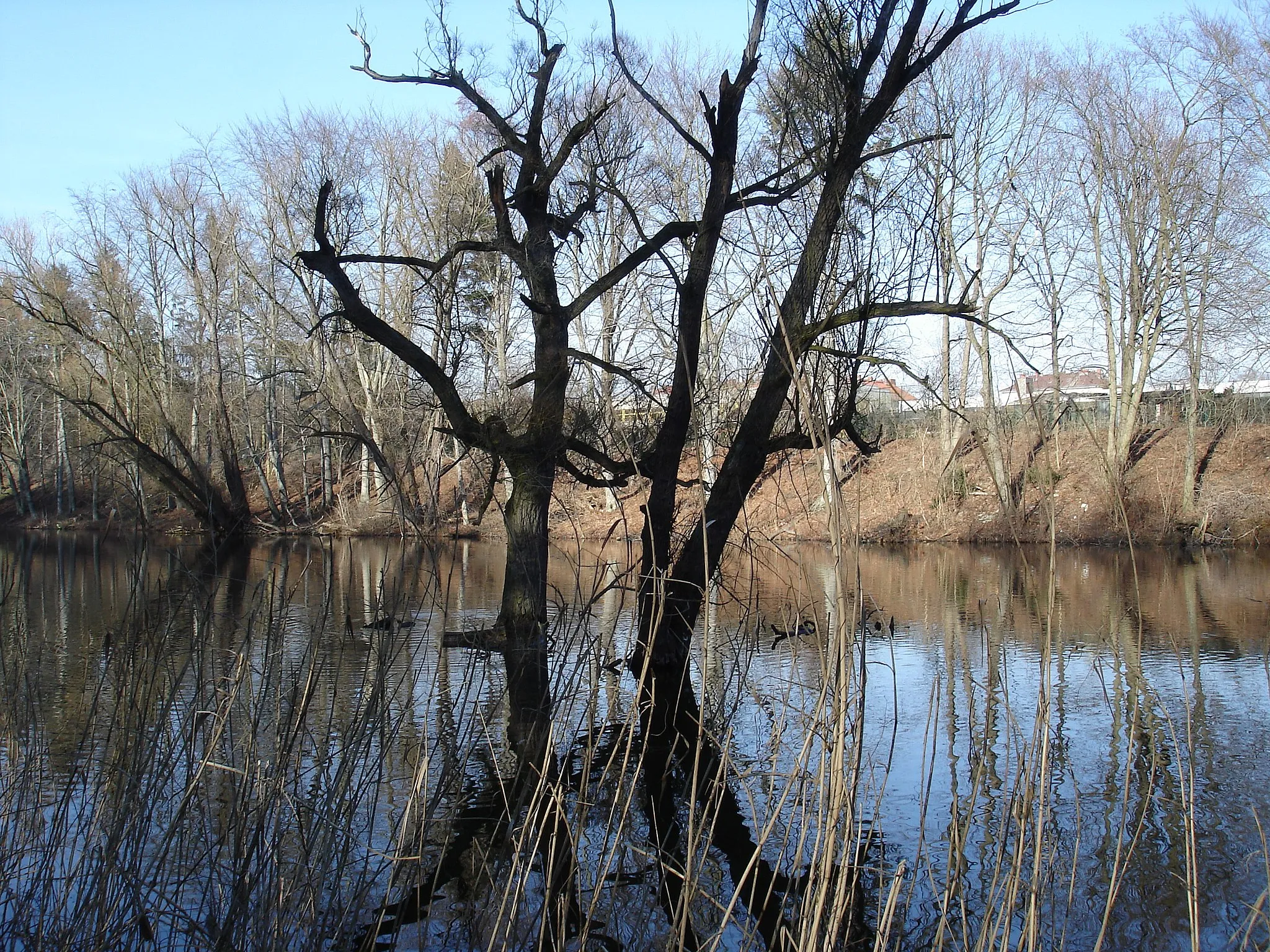
Inselspitze - Kap StralauViewpointAfter around 20 kilometers, riders can visit Inselspitze - Kap Stralau, a picturesque peninsula along the route offering views of the Spree River.
33 km
33 km
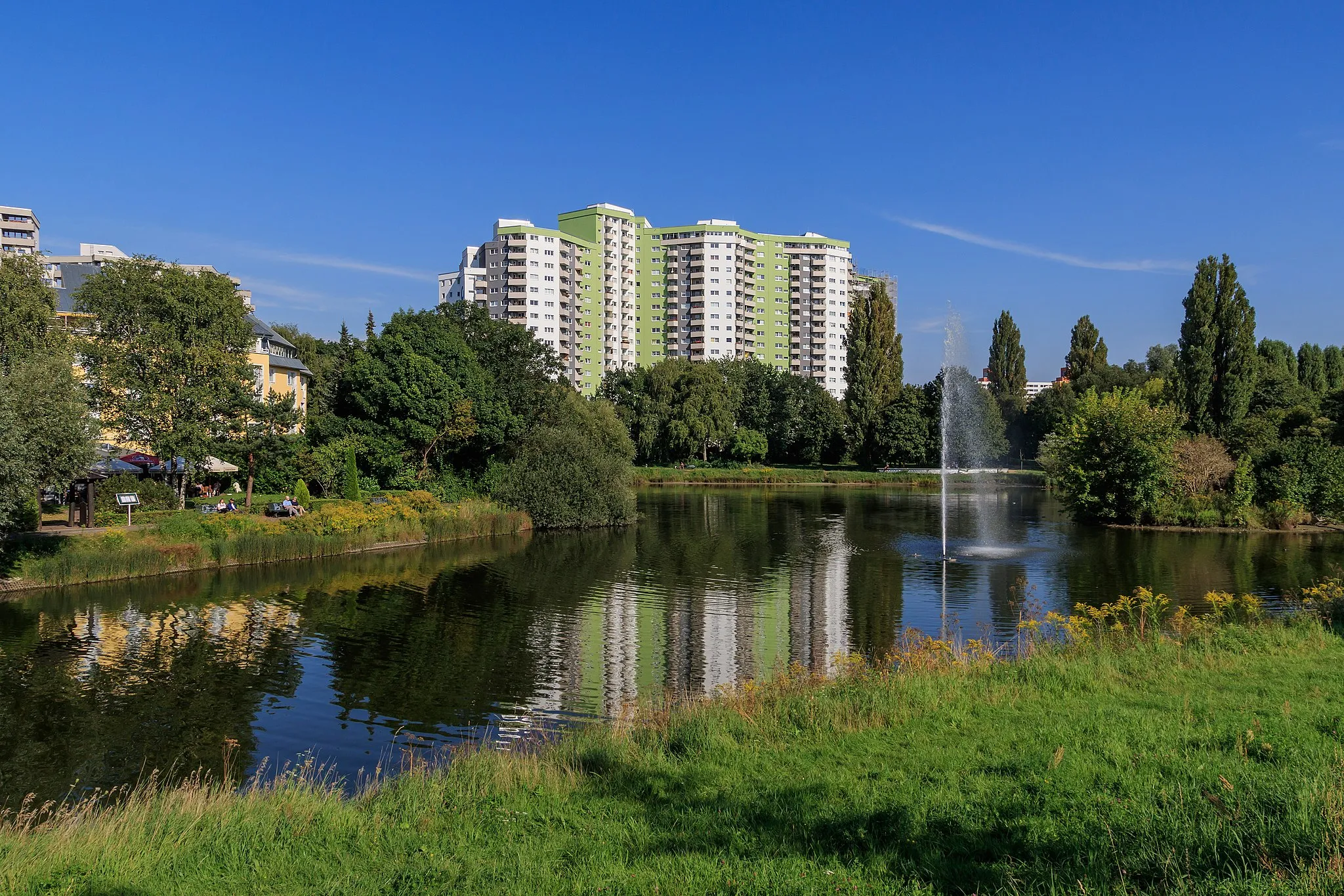
TempelhofSub-urbTempelhof, at the 33-kilometer mark, is famous for its abandoned airport-turned-park, providing a unique cycling experience.
46 km
46 km
Charlottenburg PalaceCastleCyclists will pass by Charlottenburg Palace, a magnificent baroque palace and historical landmark, at the 46-kilometer mark.
46 km
46 km
Beautiful view on castle CharlottenburgViewpointEnjoy a beautiful view of Charlottenburg Palace from a different angle at the 46-kilometer mark.
51 km
51 km
Leutnantsberg52 mPeakLeutnantsberg, located at the 51-kilometer mark, offers a hilly section with rewarding views of the surrounding landscape.
55 km
55 km
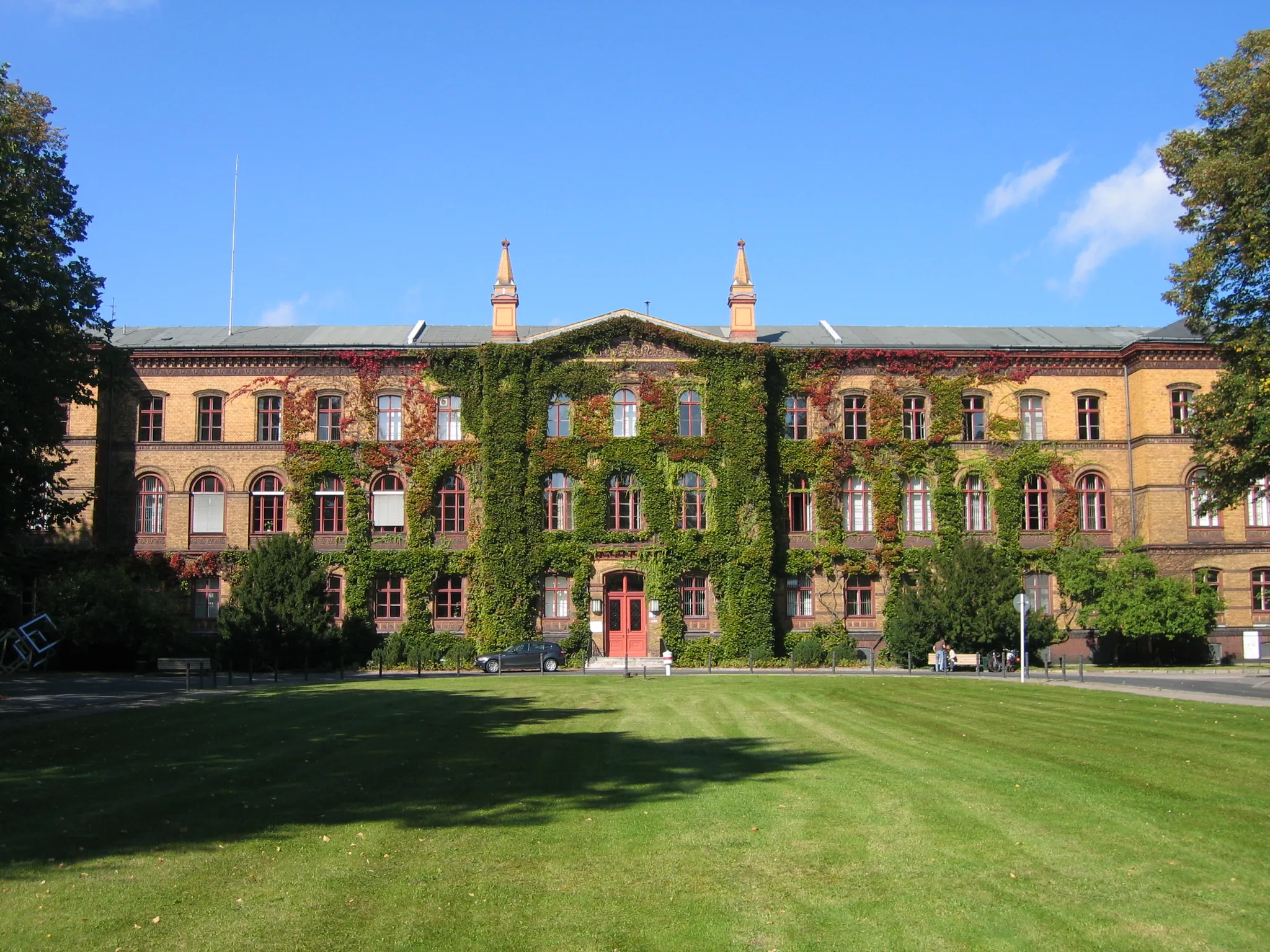
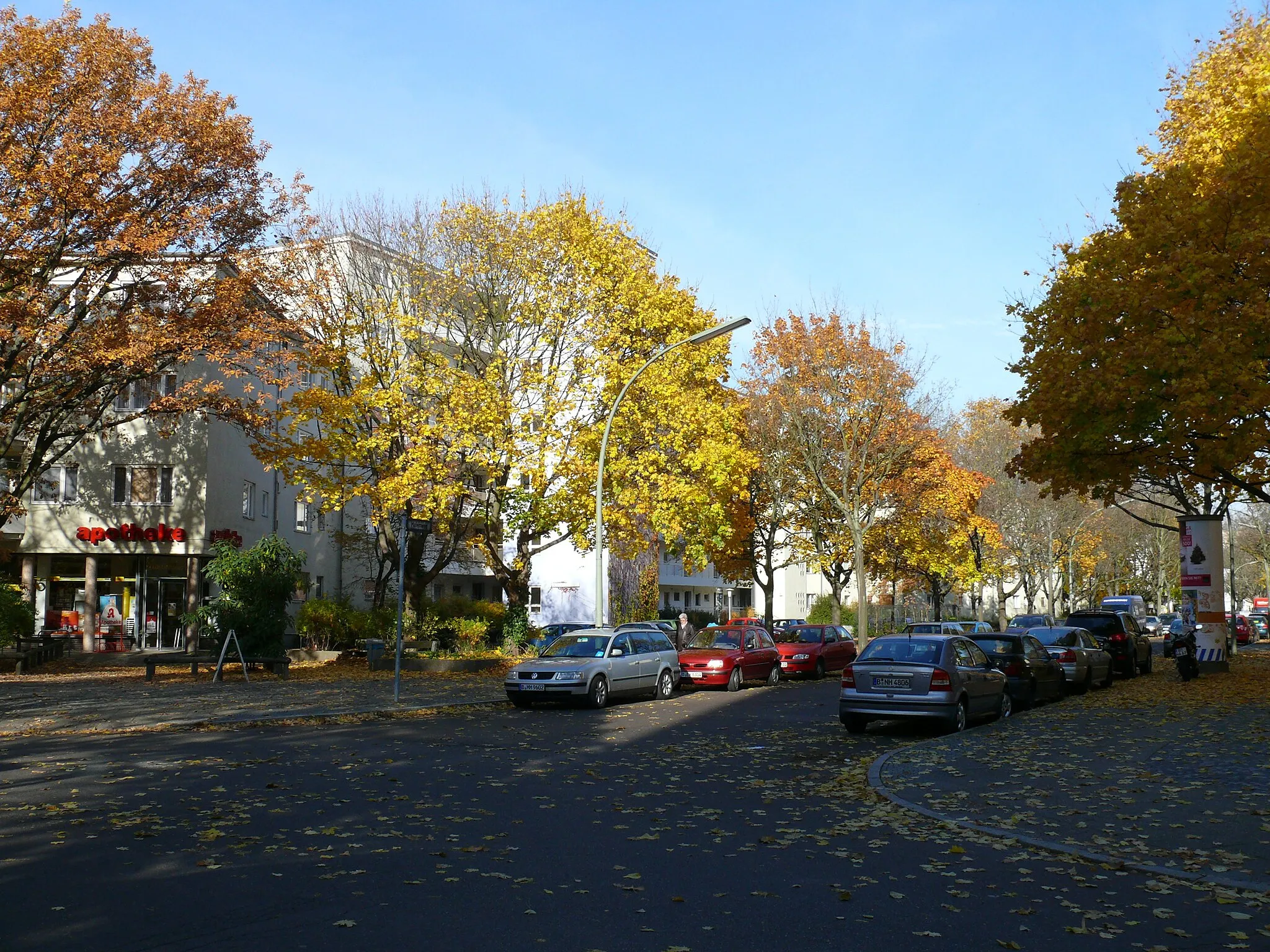
BorsigwaldeSub-urbBorsigwalde, situated at the 55-kilometer mark, is a charming district featuring historic buildings and quaint streets.
56 km
56 km
Finish: Locality centerTegel: Discover Berlin's cycling-friendly neighborhood
Cycling routes nearby: