Tegel Road Adventure
A road cycling route starting from Tegel
Embark on a scenic road cycling adventure starting from Tegel
Map
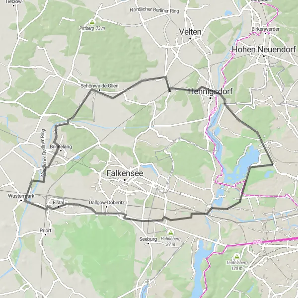
Discover the scenic beauty surrounding Tegel with this road cycling route. Perfect for road bikes, this 69-kilometer route features an ascent of 168 meters and takes cyclists through a variety of landscapes, from lakeside views to historical sites. Along the way, several highlights offer opportunities for exploration and discovery.
road
69 km
168 m
Chill
Route profile
Highlights on the route
0 km
0 km
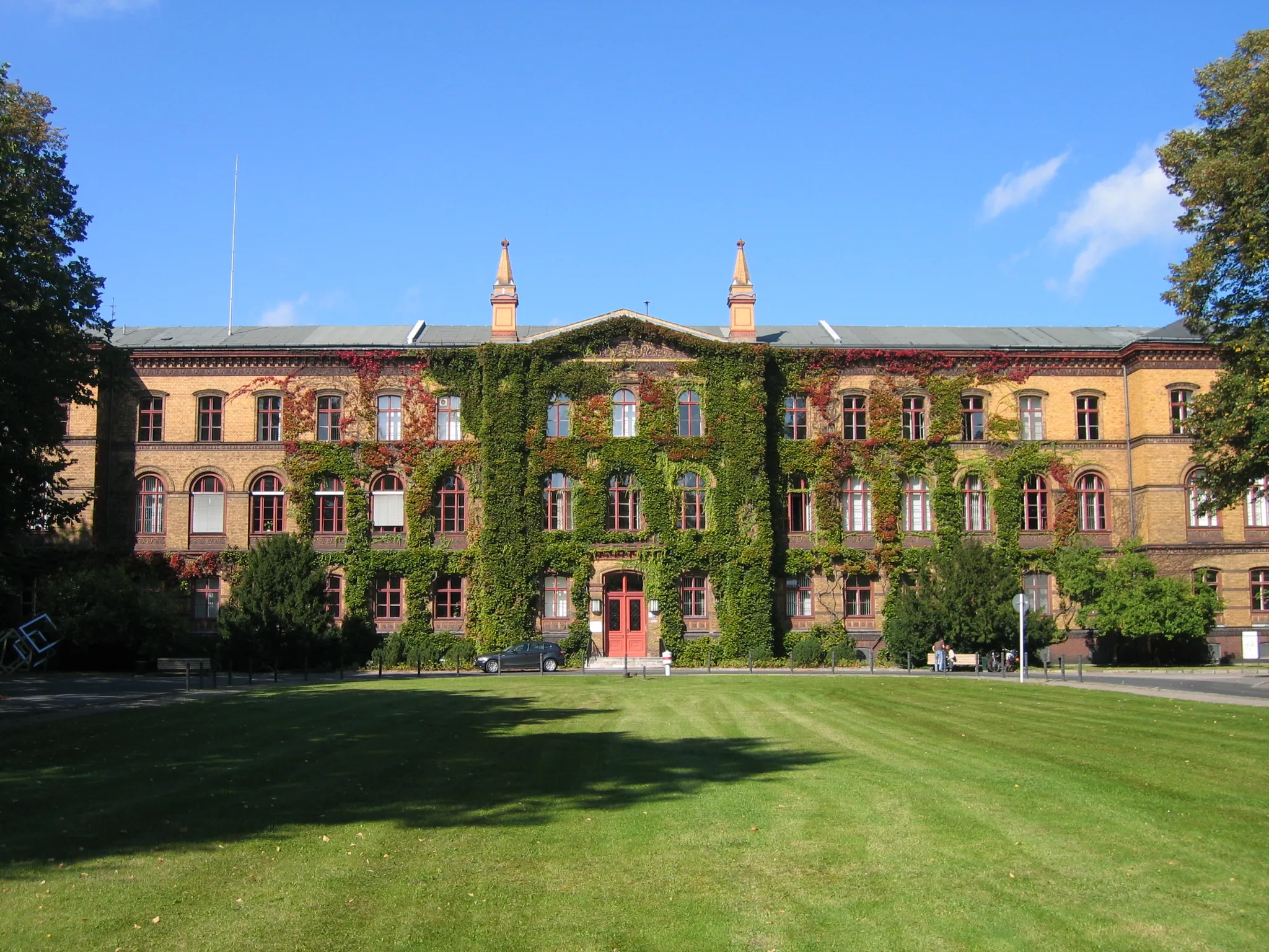
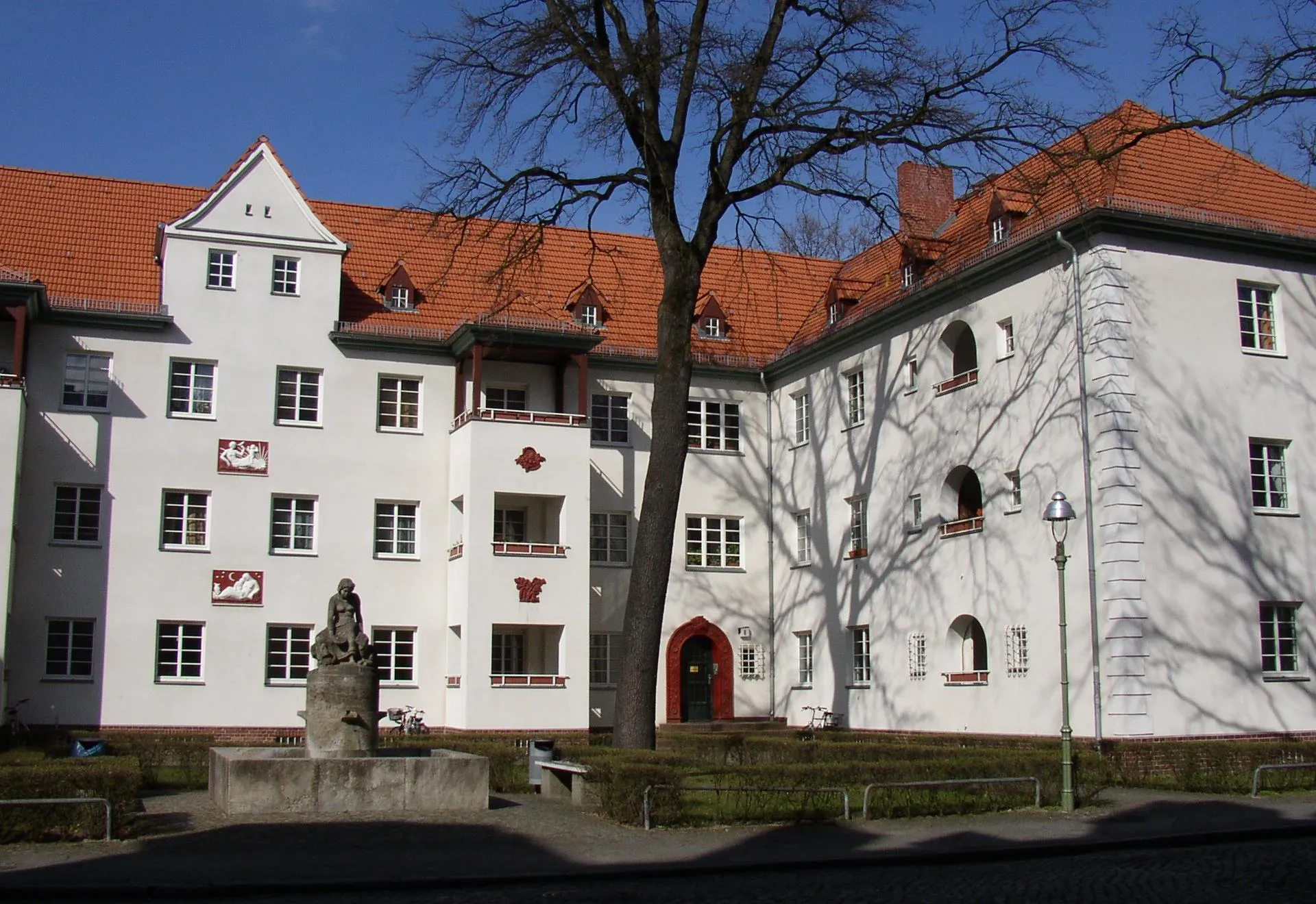
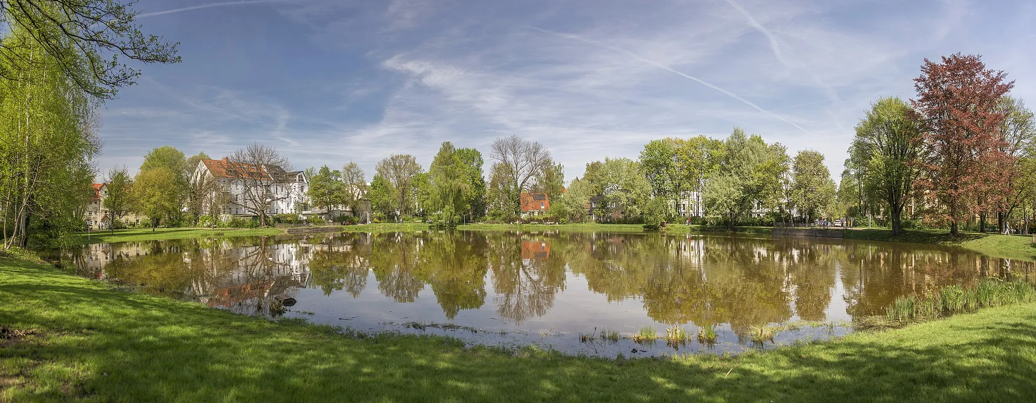
Start: Locality centerTegel: Discover Berlin's cycling-friendly neighborhood
Tegel is a locality situated in Berlin, Germany. As a cyclist, Tegel provides convenient access to a variety of cycling routes and paths within Berlin. The city offers a comprehensive cycling infrastructure, making cycling in Tegel safe and enjoyable. Cyclists can explore the city's vibrant neighborhoods, iconic landmarks, and historic sites. Tegel is also located near the beautiful Tegeler See, a lake that offers a scenic cycling route around its shores. While Tegel may not have any legendary climbs or famous cycling locations, it provides a cyclist-friendly environment and plenty of attractions to discover.2 km
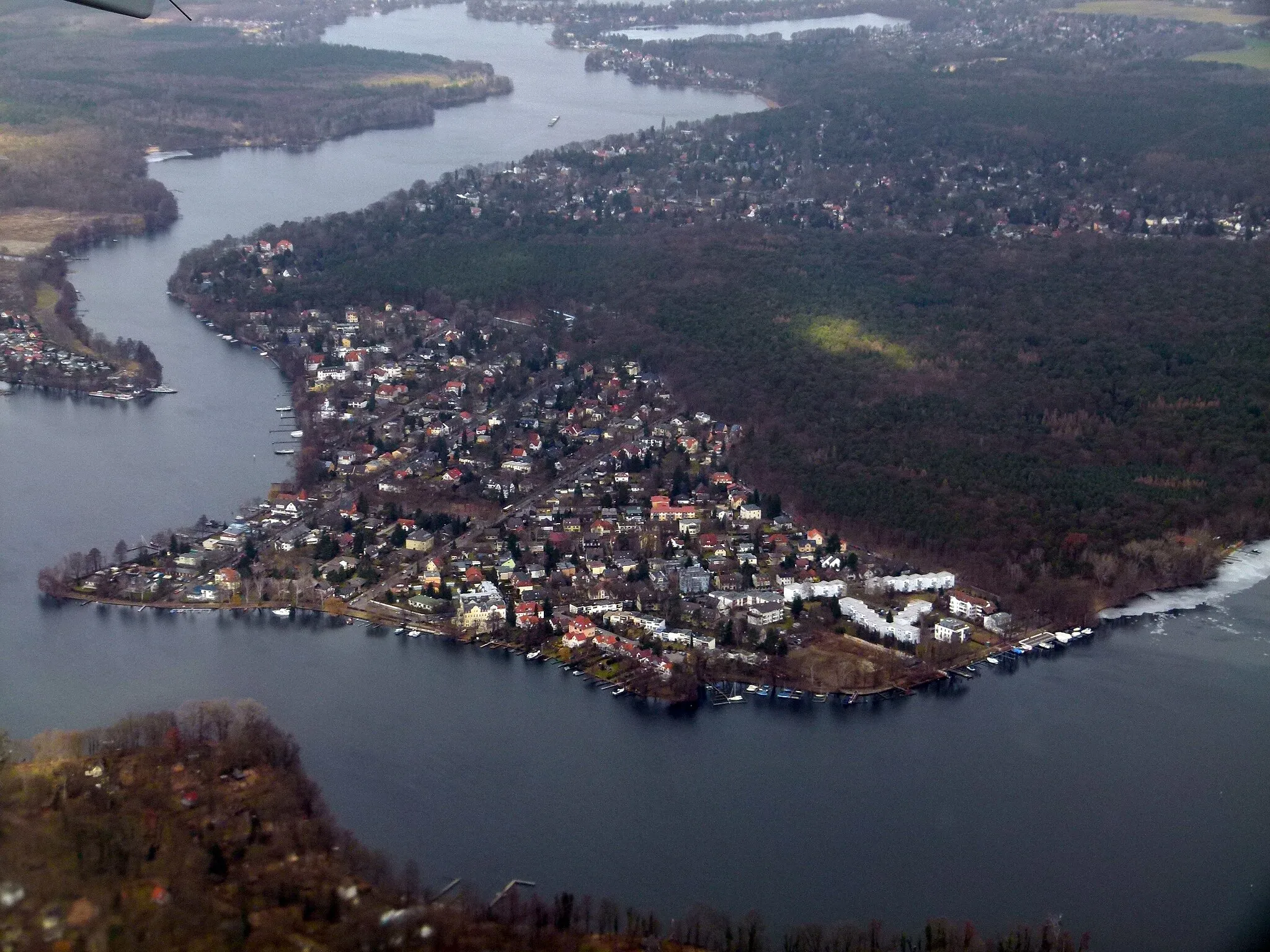
2 km
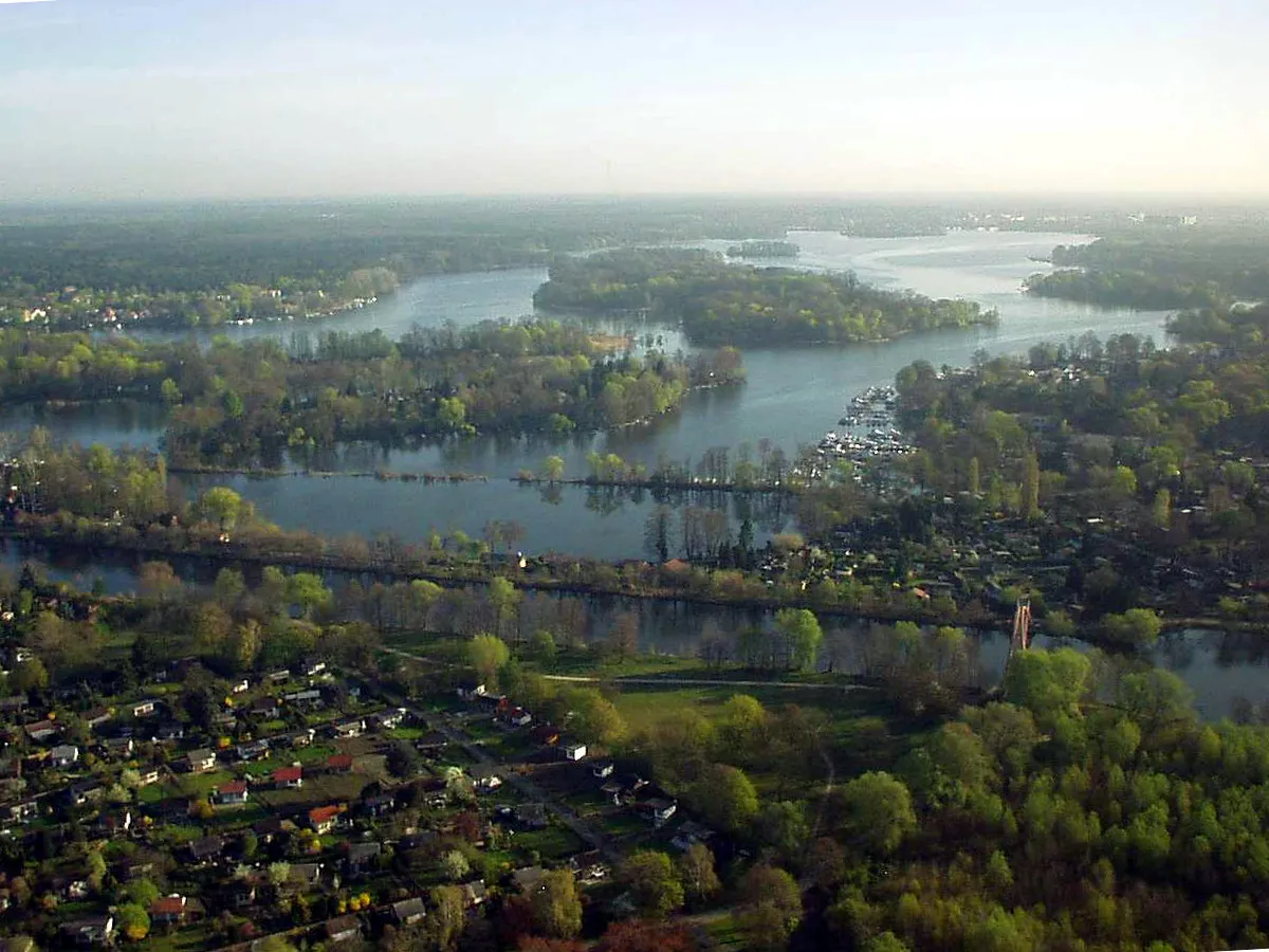
Lake TegelLakeAt the 2-kilometer mark, enjoy the serene views of Lake Tegel, one of the largest lakes in Berlin.
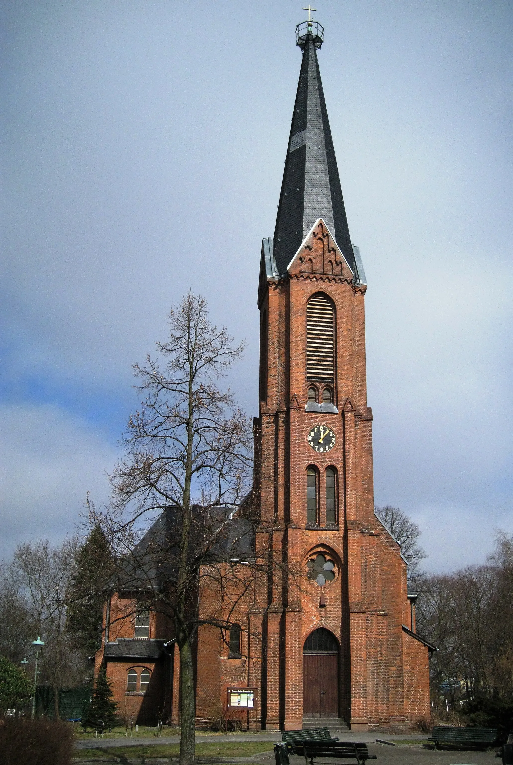
8 km
8 km
Spandau CitadelCastleDiscover the historic Spandau Citadel, located around 8 kilometers into the route, which dates back to the Renaissance period.
21 km
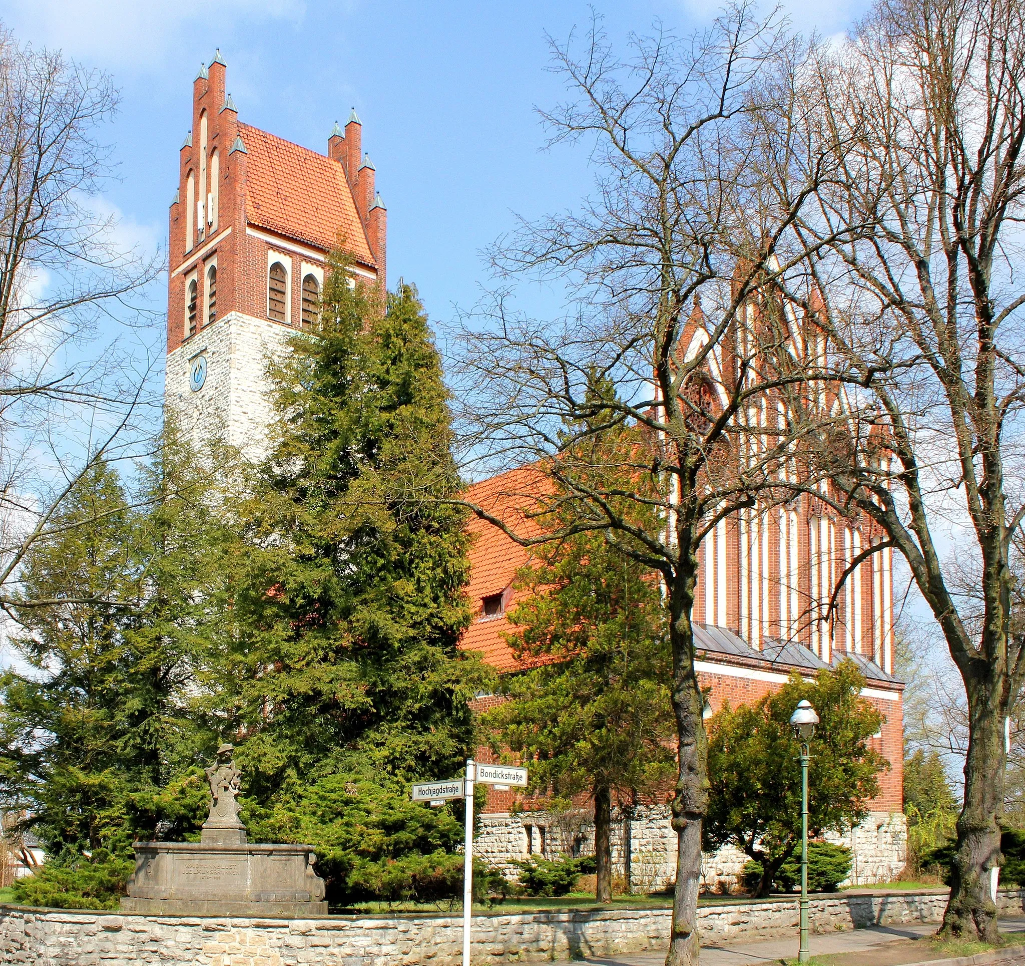
21 km
Dallgow-DöberitzVillageExplore the small town of Dallgow-Döberitz, known for its charming streets and historical buildings, at the 21-kilometer mark.
21 km
21 km
Am Rohrbecker WegViewpointAdjacent to a scenic pathway, Am Rohrbecker Weg awaits at the 21-kilometer mark with a picturesque landscape and tranquil surroundings.
37 km
37 km
BrieselangVillageBrieselang, at the 37-kilometer mark, allows cyclists to discover the rural beauty of the Brandenburg countryside.
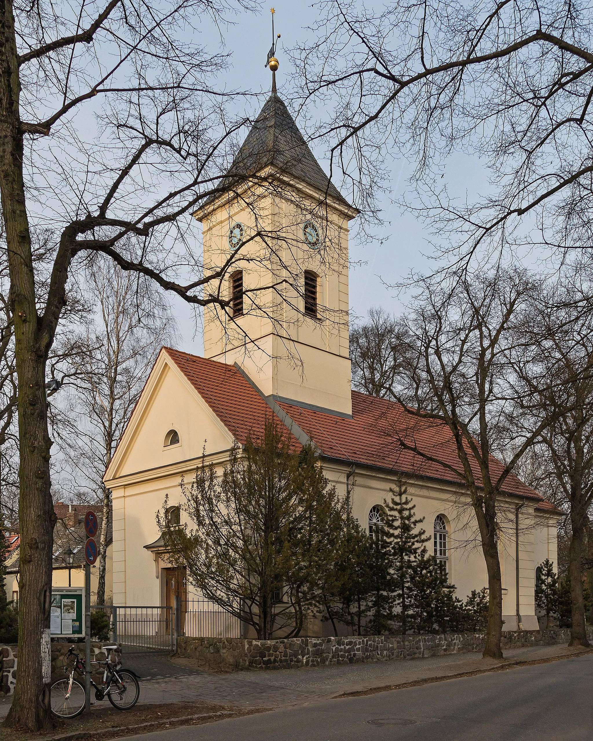
45 km
45 km
Schönwalde-GlienVillageAt the 45-kilometer mark, Schönwalde-Glien offers a charming village atmosphere, perfect for a quick rest and exploration.
50 km
50 km
Pfannberge53 mPeakTest your climbing skills at the Pfannberge, a popular training spot for local road cyclists at the 50-kilometer mark.
59 km
59 km
HennigsdorfTownHennigsdorf, located at the 59-kilometer mark, provides a scenic setting with beautiful river views and a tranquil atmosphere.
65 km
65 km
Apolloberg65 mPeakTackle the challenging climb up Apolloberg at the 65-kilometer mark and enjoy breathtaking views of the surrounding area.
69 km
69 km
Finish: Locality centerTegel: Discover Berlin's cycling-friendly neighborhood
Cycling routes nearby: