Charlottenburg Gravel Loop
A gravel cycling route starting from Tegel
Embark on a gravel adventure through Charlottenburg's beautiful surroundings
Map
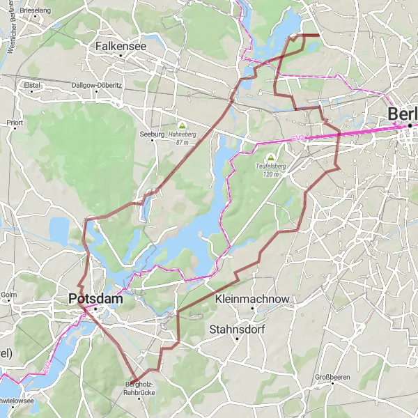
This 82-kilometer gravel cycling route showcases the natural beauty surrounding Charlottenburg on a mix of off-road and rural tracks. With an ascent of 275 meters, cyclists will be rewarded with scenic views and memorable experiences. Along the route, several exceptional highlights offer diverse and valuable attractions.
gravel
82 km
275 m
Tough
Route profile
Highlights on the route
0 km
0 km
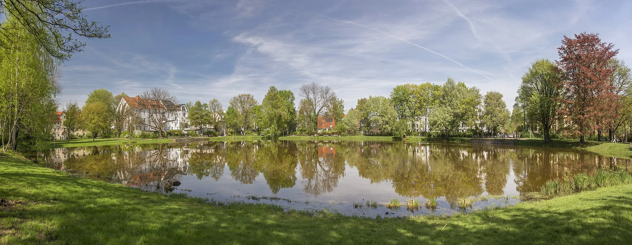
Start: Locality centerTegel: Discover Berlin's cycling-friendly neighborhood
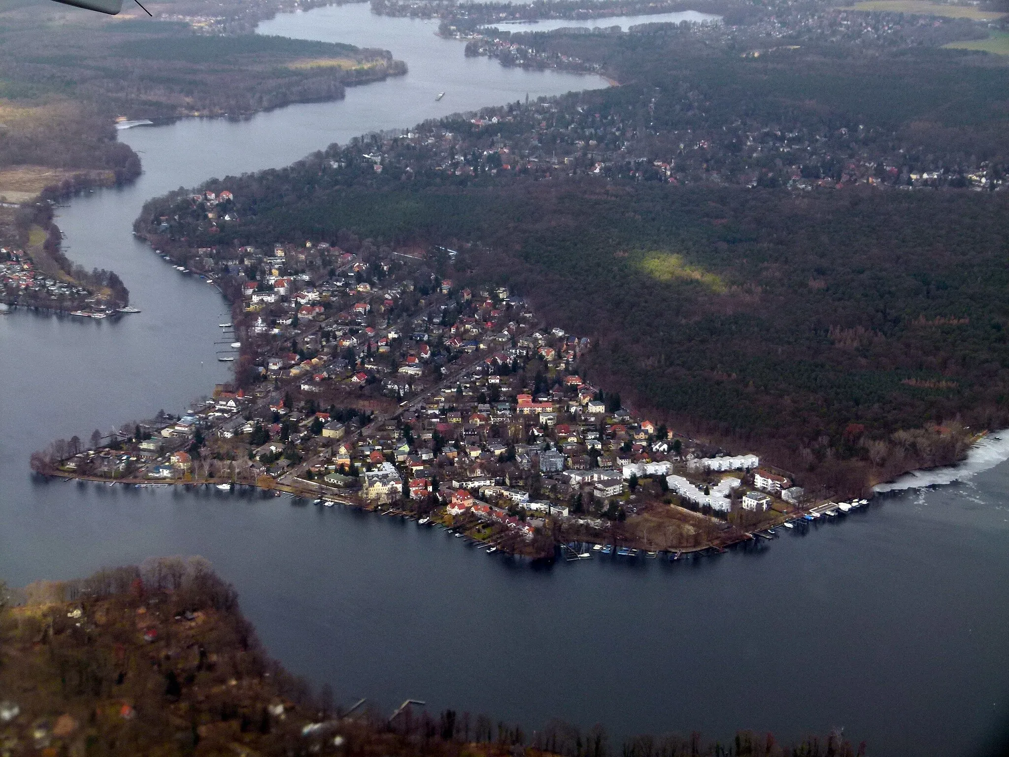
Tegel is a locality situated in Berlin, Germany. As a cyclist, Tegel provides convenient access to a variety of cycling routes and paths within Berlin. The city offers a comprehensive cycling infrastructure, making cycling in Tegel safe and enjoyable. Cyclists can explore the city's vibrant neighborhoods, iconic landmarks, and historic sites. Tegel is also located near the beautiful Tegeler See, a lake that offers a scenic cycling route around its shores. While Tegel may not have any legendary climbs or famous cycling locations, it provides a cyclist-friendly environment and plenty of attractions to discover.11 km
11 km
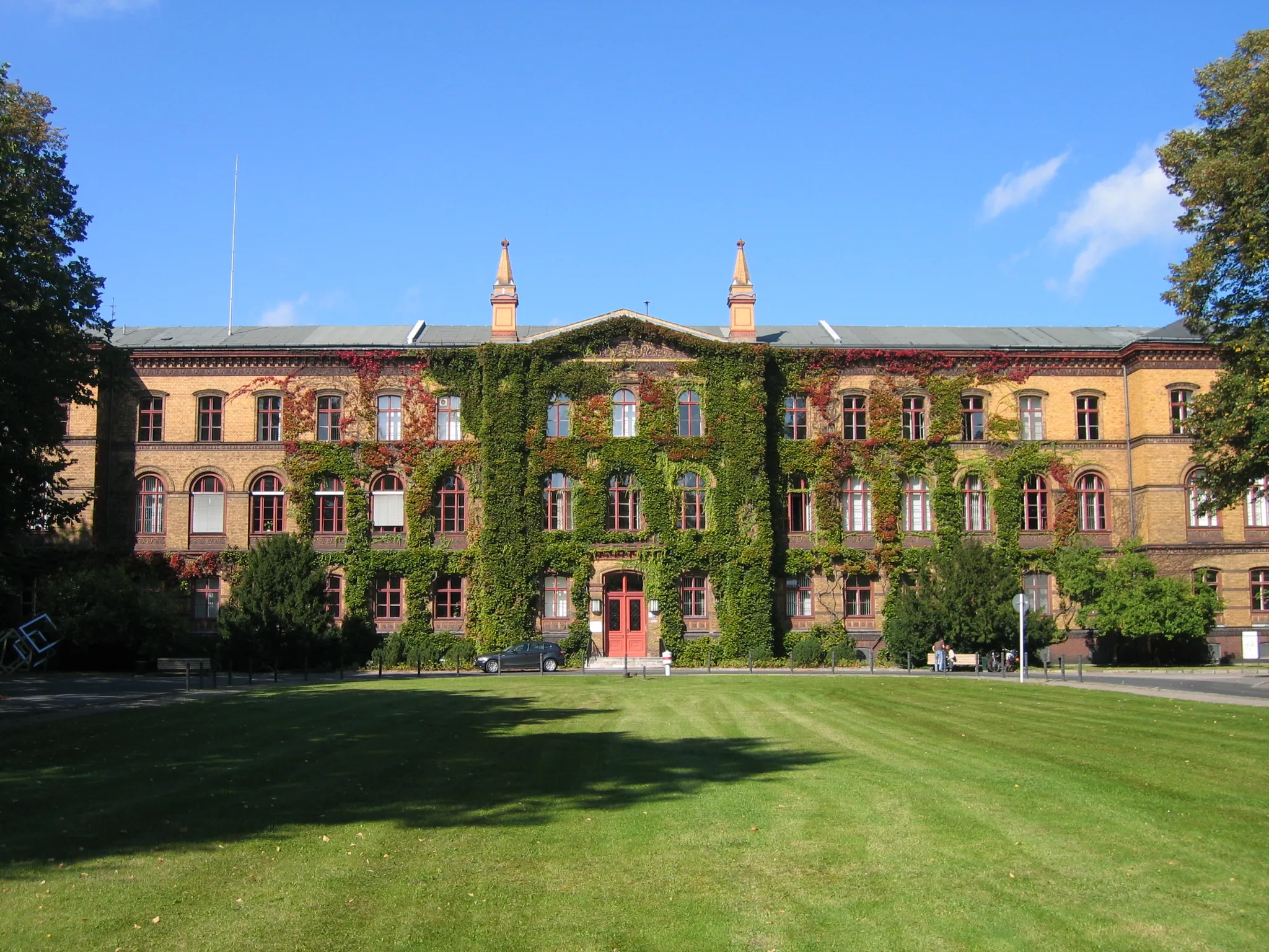
Beautiful view on castle CharlottenburgViewpointImmerse yourself in a beautiful view of Charlottenburg Palace from a unique perspective, situated at the 11-kilometer mark.
13 km
13 km
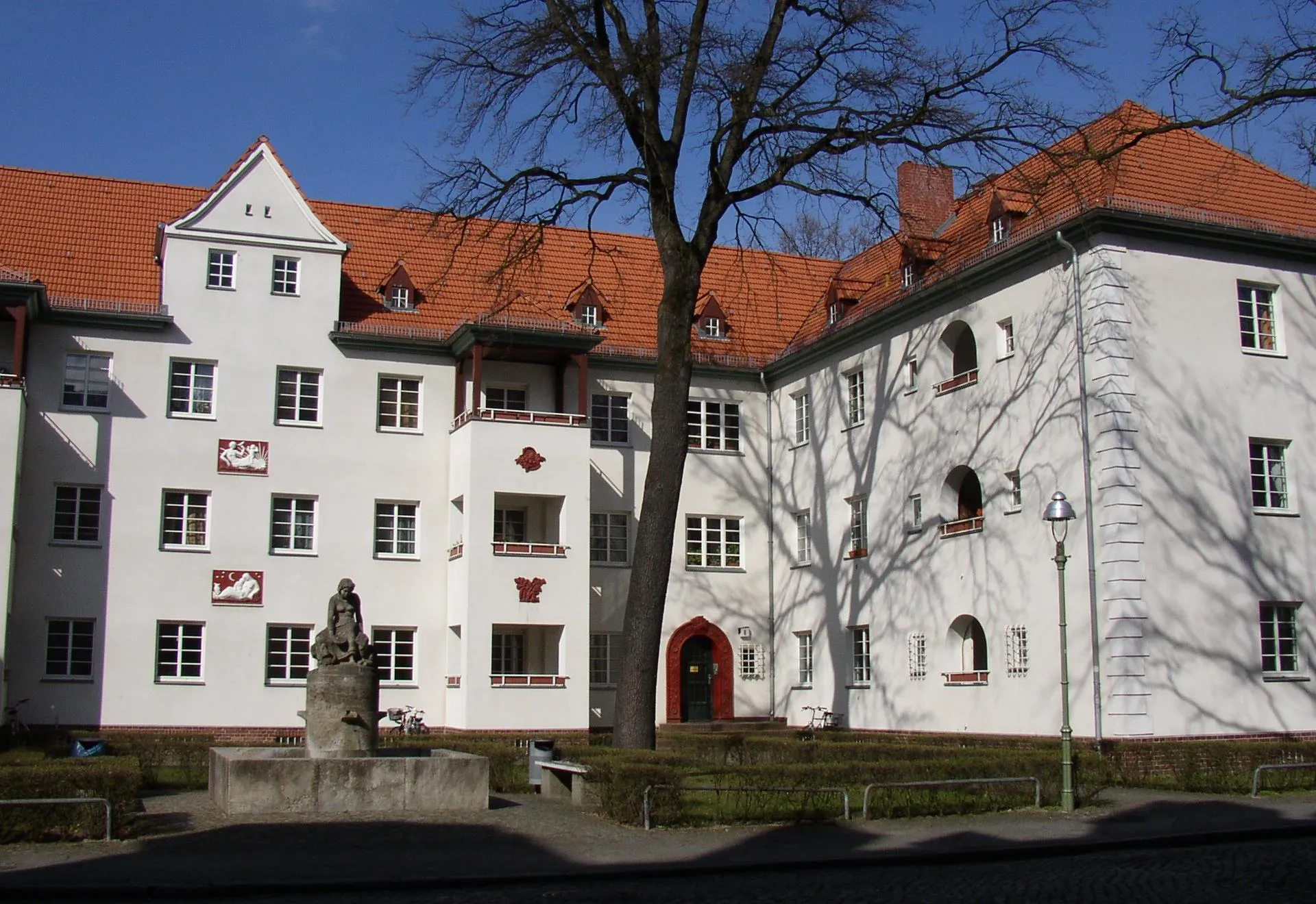
CharlottenburgSub-urbUncover the historic district of Charlottenburg, located at the 13-kilometer mark, featuring charming streets and interesting sites.
36 km
36 km
Jagdschloss SternAttractionJagdschloss Stern, found at the 36-kilometer mark, is a former hunting lodge surrounded by picturesque woodlands.
47 km
47 km
AussichtsplattformViewpointAt the 47-kilometer mark, the Aussichtsplattform offers a breathtaking panoramic view of the Berlin skyline.
48 km
48 km
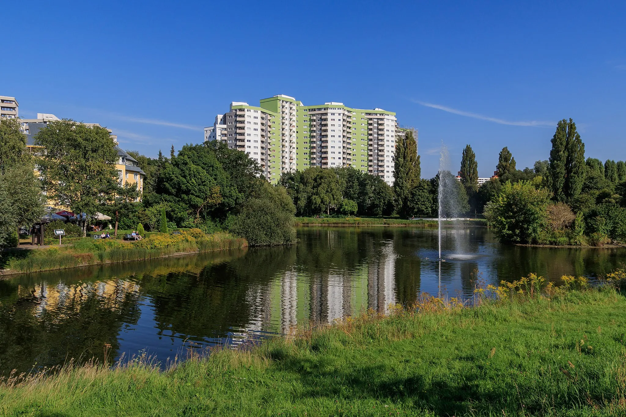
PotsdamCityEnjoy a memorable visit to Potsdam, a city steeped in history and culture, located at the 48-kilometer mark.
58 km
58 km
Krampnitzberg88 mPeakChallenge yourself with a climb up Krampnitzberg, offering rewarding views over Potsdam and its surrounding landscapes, at the 58-kilometer mark.
71 km
71 km
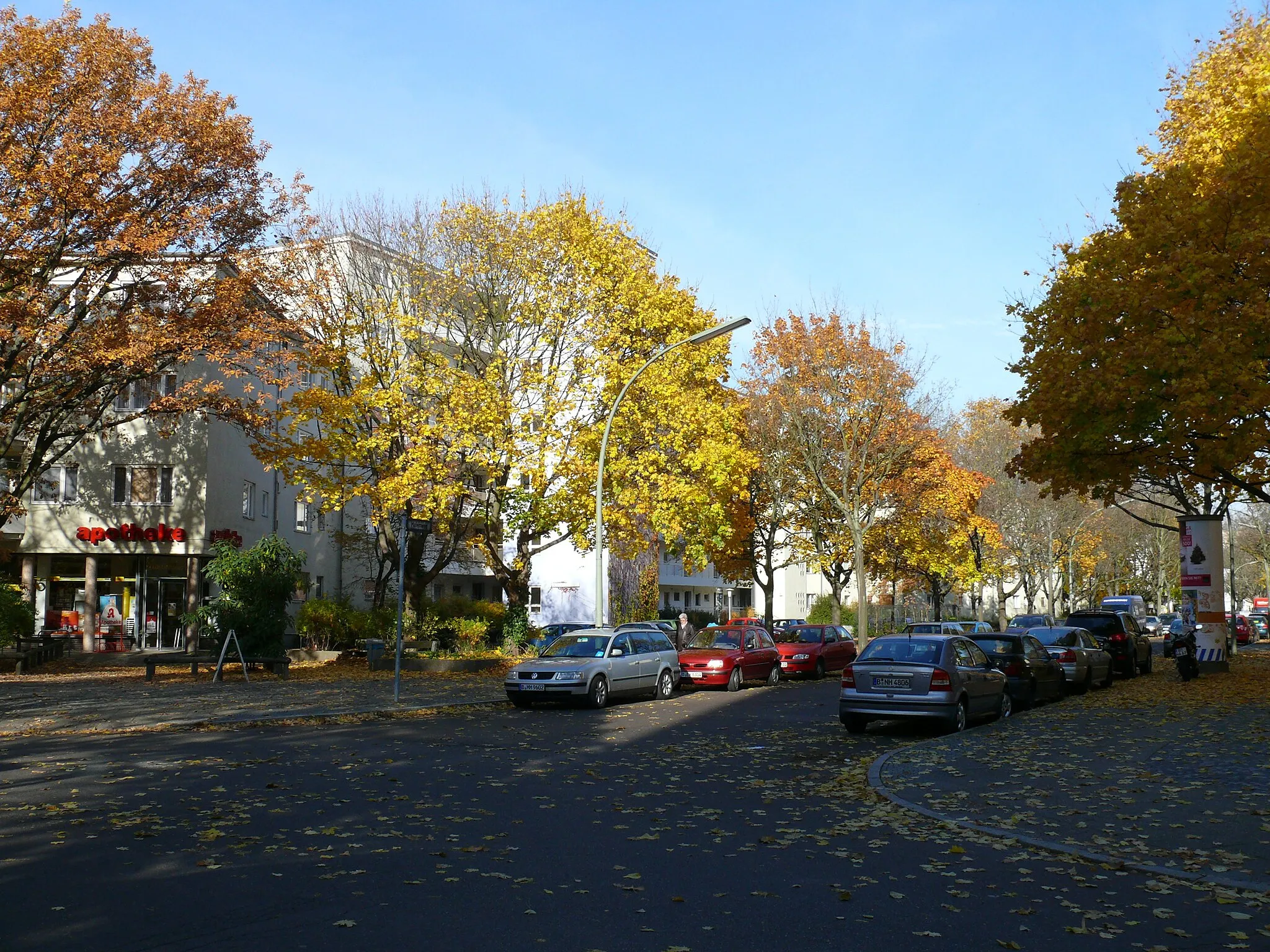
SpandauSub-urbVisit Spandau, famous for its medieval fortress, at the 71-kilometer mark, and explore its narrow cobbled streets and historical charm.
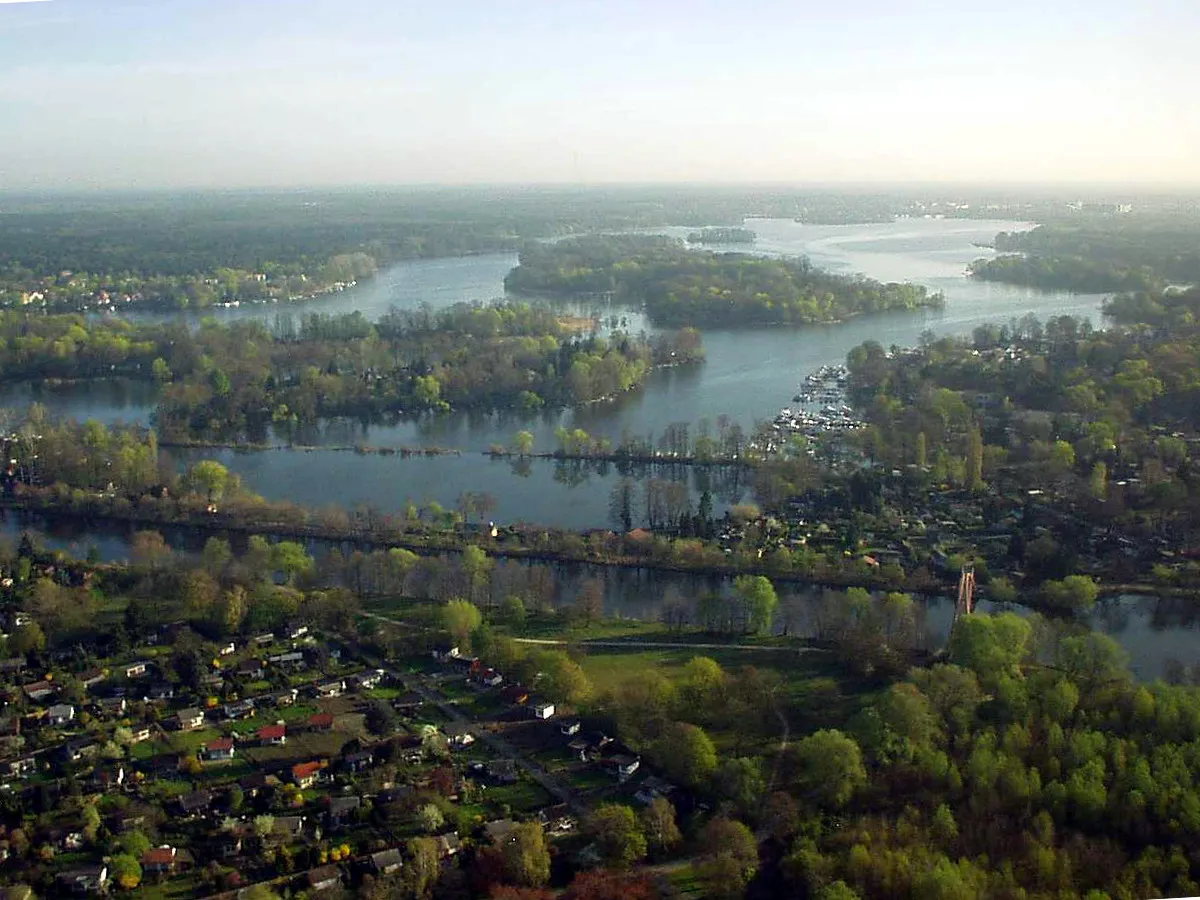
79 km
79 km
Lake TegelLakeConclude the route with a stop by Lake Tegel, one of Berlin's largest lakes, located at the 79-kilometer mark, offering a tranquil setting for relaxation.
82 km
82 km
Finish: Locality centerTegel: Discover Berlin's cycling-friendly neighborhood
Cycling routes nearby: