Berlin Historical Cycling
A road cycling route starting from Tegel
Explore the historical side of Berlin on this captivating road cycling route
Map
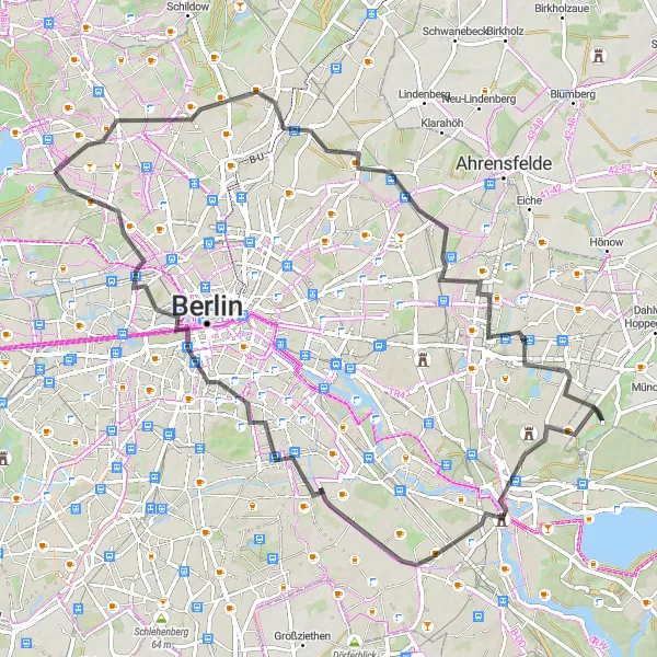
Uncover the rich history of Berlin with this 76-kilometer road cycling route. From challenging climbs to historical landmarks, cyclists will be immersed in the city's intriguing past. Along the way, several noteworthy highlights offer insights into Berlin's history and architectural beauty.
road
76 km
222 m
Tough
Route profile
Highlights on the route
0 km
0 km
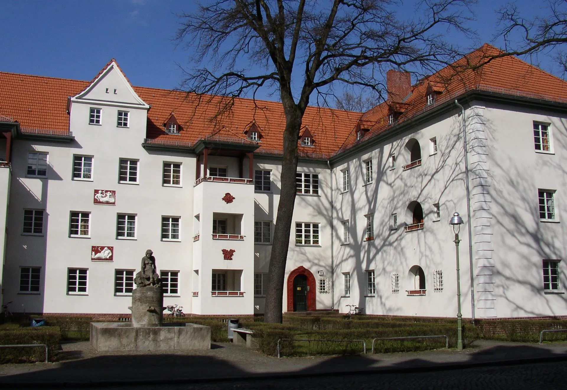
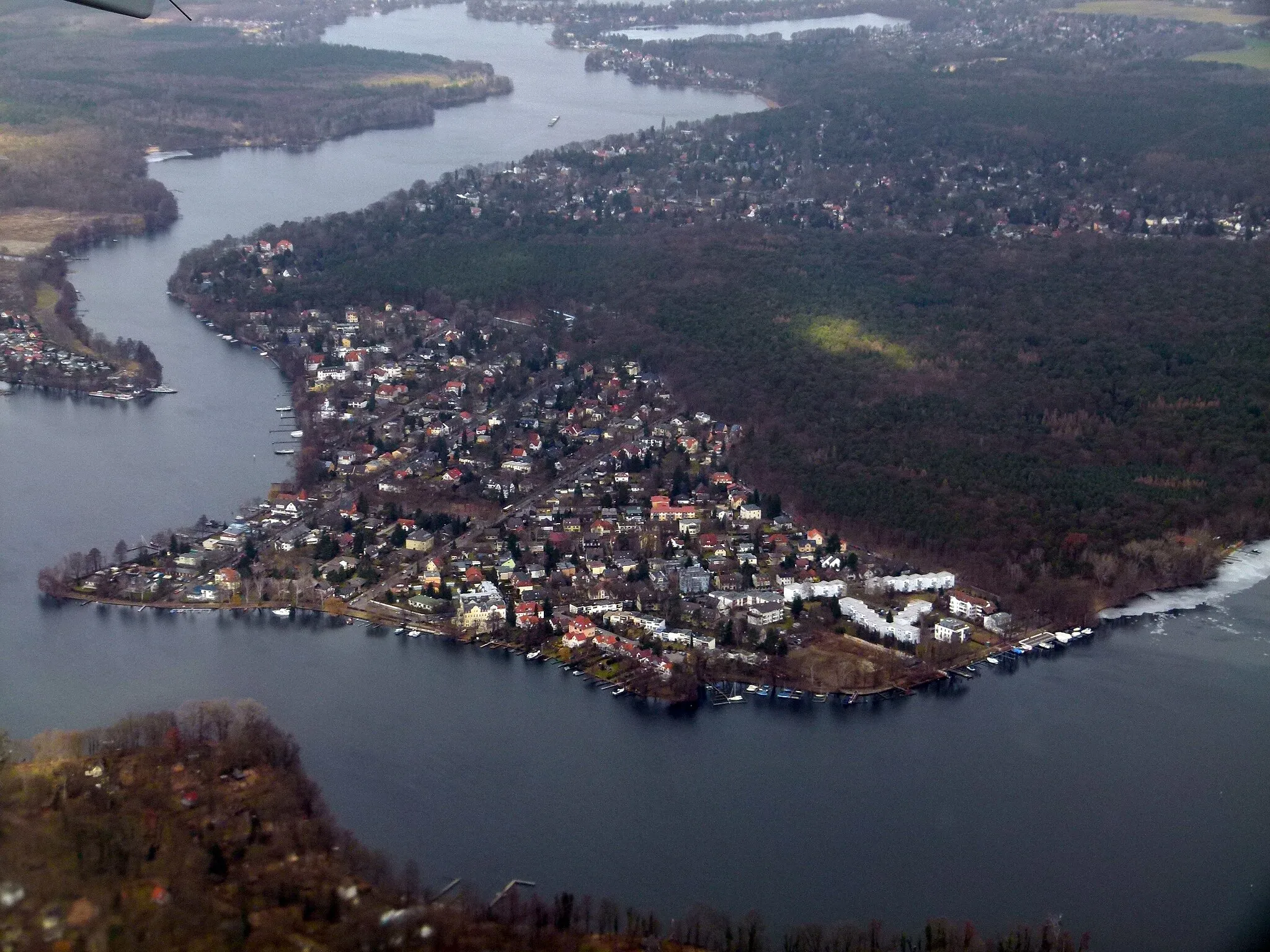
Start: Locality centerTegel: Discover Berlin's cycling-friendly neighborhood
Tegel is a locality situated in Berlin, Germany. As a cyclist, Tegel provides convenient access to a variety of cycling routes and paths within Berlin. The city offers a comprehensive cycling infrastructure, making cycling in Tegel safe and enjoyable. Cyclists can explore the city's vibrant neighborhoods, iconic landmarks, and historic sites. Tegel is also located near the beautiful Tegeler See, a lake that offers a scenic cycling route around its shores. While Tegel may not have any legendary climbs or famous cycling locations, it provides a cyclist-friendly environment and plenty of attractions to discover.14 km
14 km
Mörderberg56 mPeakEmbrace the challenge of Mörderberg, a steep climb at the 14-kilometer mark with rewarding views over Berlin's cityscape.
16 km
16 km
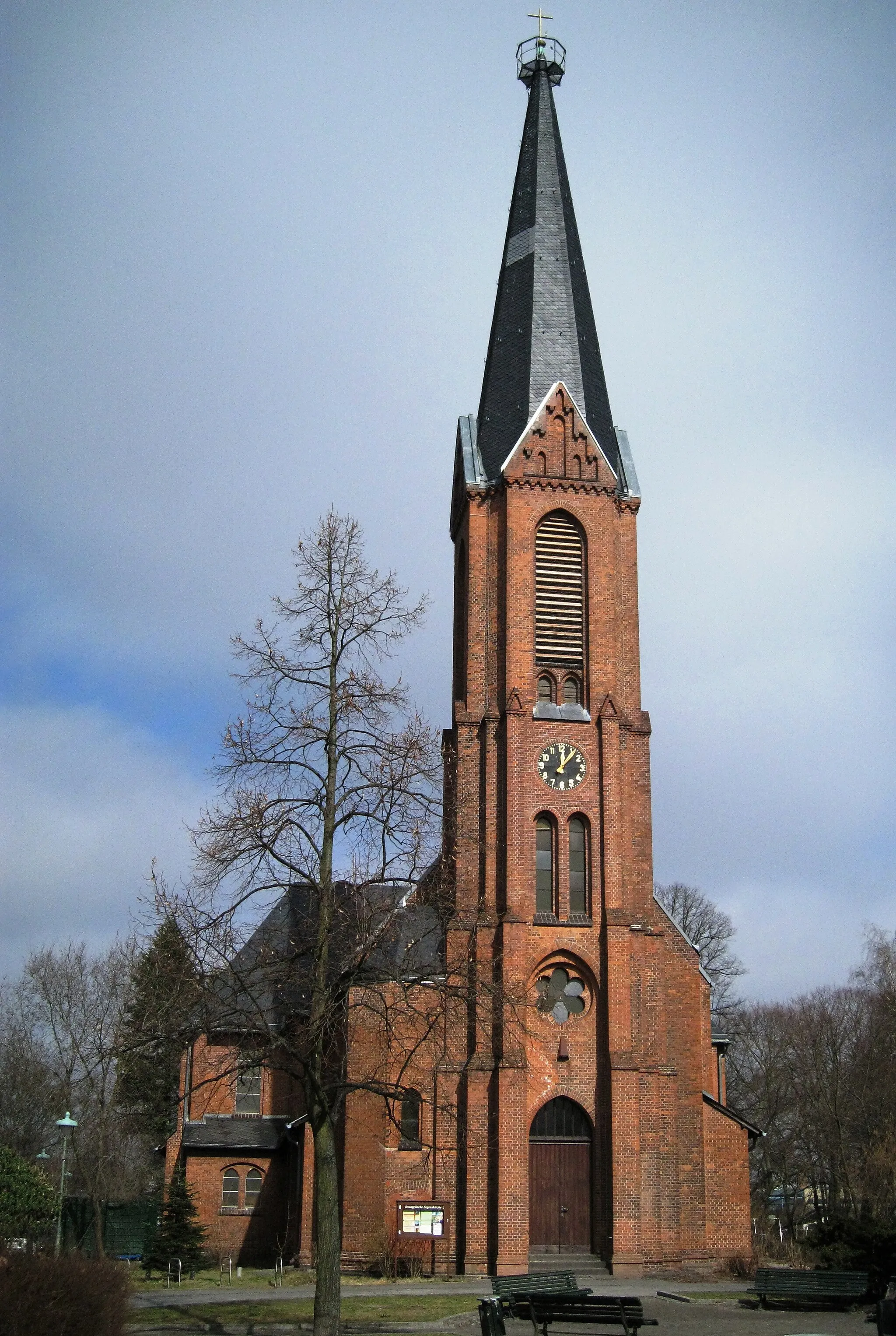
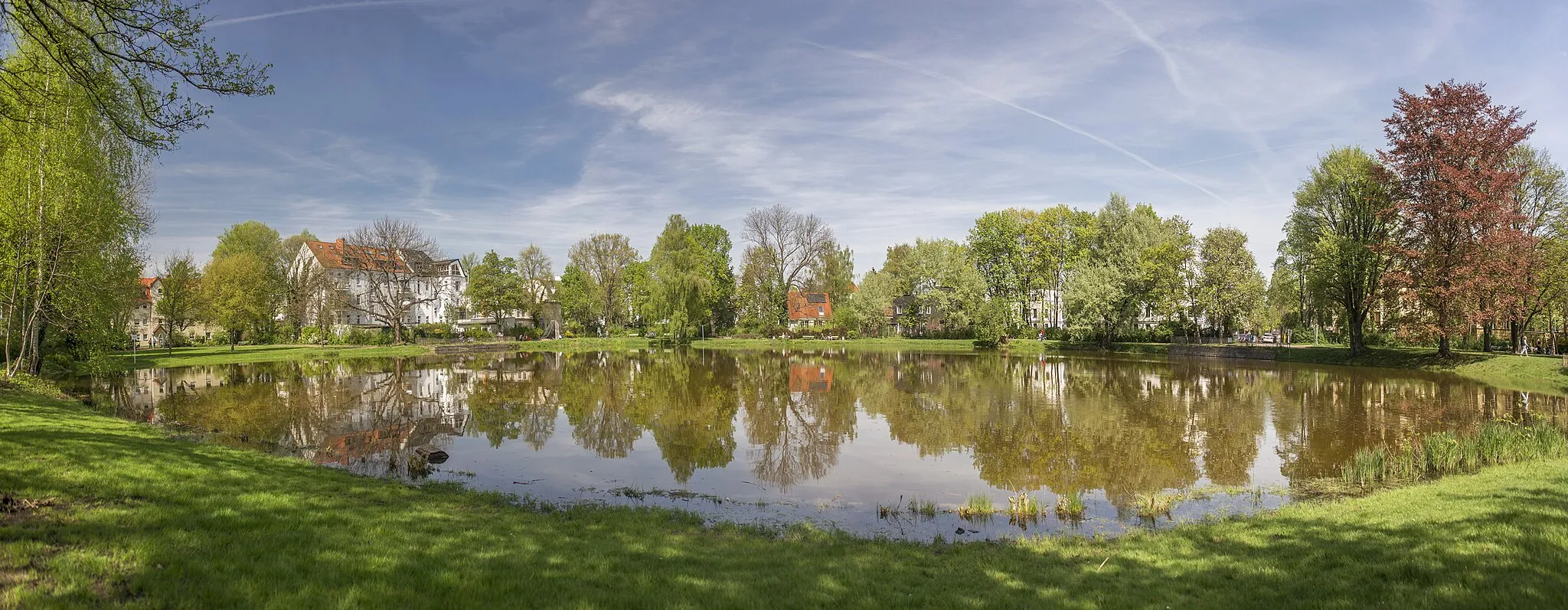
Dorfkirche MalchowCastle RuinsDiscover the Dorfkirche Malchow, a historic village church dating back to the 13th century, located at the 16-kilometer mark.
28 km
28 km
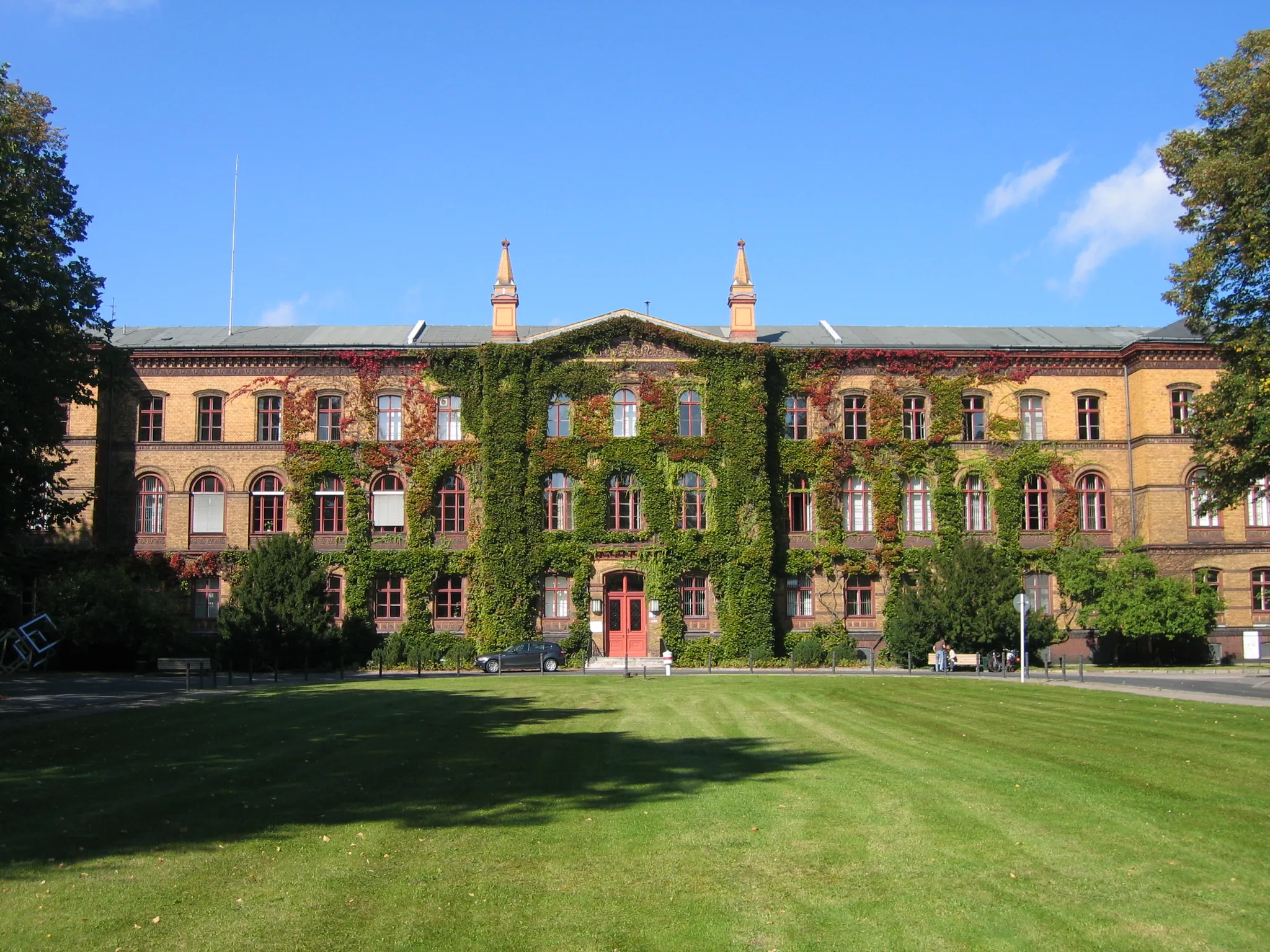
Schloss BiesdorfCastleAt the 28-kilometer mark, explore Schloss Biesdorf, an impressive castle turned cultural center showcasing exhibitions and events.
28 km
28 km
Biesdorfer Höhe81 mPeakScale the Biesdorfer Höhe, a challenging climb offering panoramic views of the surrounding countryside, at the 28-kilometer mark.
44 km
44 km
Schloss KöpenickCastleCyclists will pass by the magnificent Schloss Köpenick, located at the 44-kilometer mark. This picturesque palace showcases architectural beauty and hosts a museum.
49 km
49 km
Rudower Höhe70 mPeakReach new heights at Rudower Höhe, a prominent hill offering stunning vistas of Berlin, situated at the 49-kilometer mark.
65 km
65 km
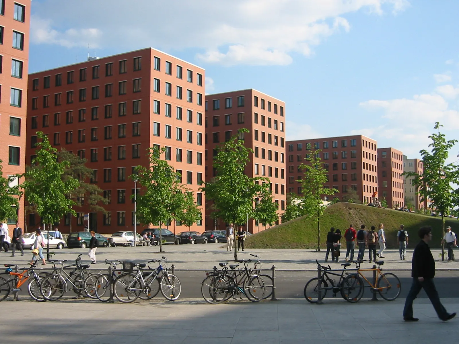
Potsdamer PlatzAttractionMarvel at the modern architecture of Potsdamer Platz, a bustling intersection and cultural hub, at the 65-kilometer mark.
65 km
65 km
Reichstag domeViewpointReach the pinnacle of cycling history with a ride through the Reichstag dome, located at the 65-kilometer mark, offering unparalleled views of Berlin's iconic landmarks.
76 km
76 km
Finish: Locality centerTegel: Discover Berlin's cycling-friendly neighborhood
Cycling routes nearby: