Scenic Gravel Tour
A gravel cycling route starting from Tempelhof
Experience scenic beauty on this 50 km gravel tour
Map
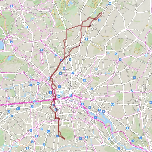
Immerse yourself in the breathtaking scenery of the 50 km gravel tour near Tempelhof. With moderate difficulty, this ride is suitable for amateur cyclists with some experience. Get ready to witness stunning natural landscapes, historical landmarks, and architectural wonders along the way.
gravel
50 km
212 m
Chill
Route profile
Highlights on the route
0 km
0 km
Start: Locality centerTempelhof: Former airport turned park with cycle-friendly infrastructure
Tempelhof is a neighborhood located in the city of Berlin, Germany. From a cyclist's perspective, Tempelhof offers a mix of urban and recreational cycling experiences. The locality features well-maintained roads and cycle lanes, making it easy for cyclists to navigate the area. A highlight of Tempelhof is the Tempelhofer Feld, a former airport turned into a park that offers vast open spaces for cycling. With its history and unique cycling opportunities, Tempelhof is a popular destination among both locals and tourists.4 km
4 km
RotorblattAttractionThe towering Rotorblatt wind turbine brings a unique aesthetic to the surrounding fields at 4 km.
12 km
12 km
Humboldthöhe84 mPeakHumboldthöhe, rising 29 km into the route, offers panoramic views of Berlin's skyline.
29 km
29 km
Französisch BuchholzSub-urbFranzösisch Buchholz, known for its quaint atmosphere and charming half-timbered houses, awaits at 29 km.
43 km
43 km
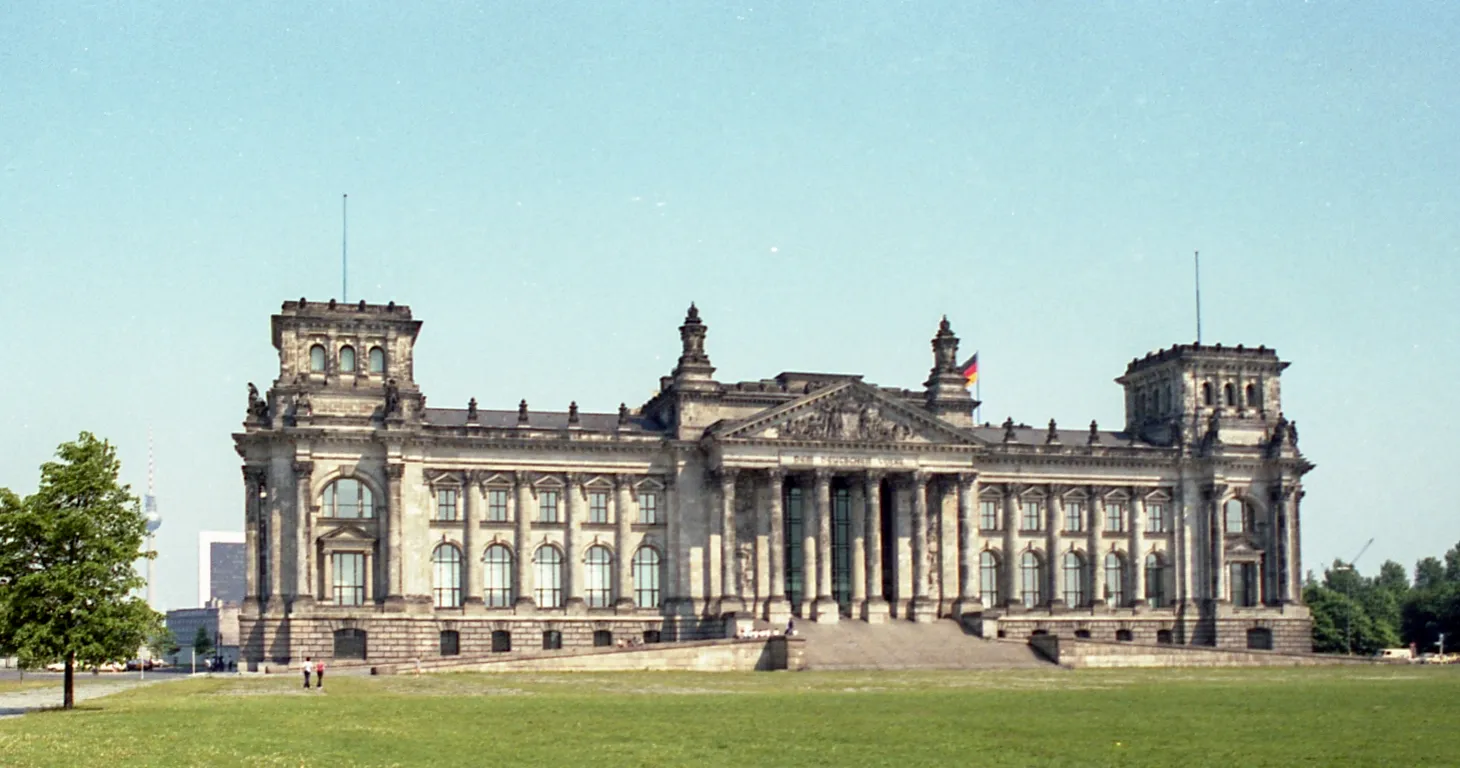
Reichstag domeViewpointThe majestic Reichstag dome is an architectural marvel that offers breathtaking views of the city at 43 km.
44 km
44 km
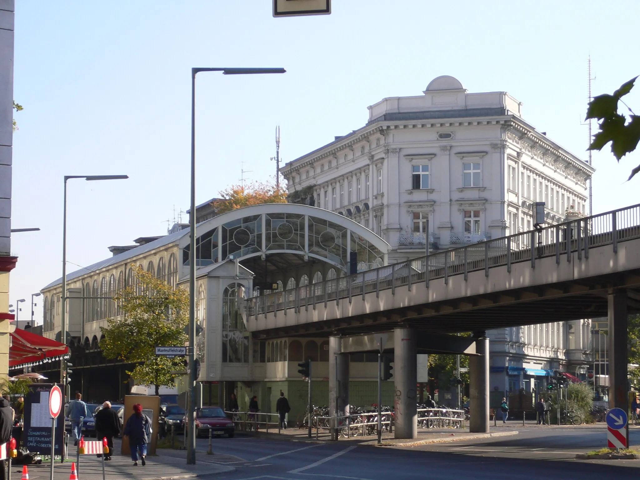
Portico of the destroyed Anhalter StationAttractionAt the Portico of the destroyed Anhalter Station, experience the remains of a once grand train station at 44 km.
50 km
50 km
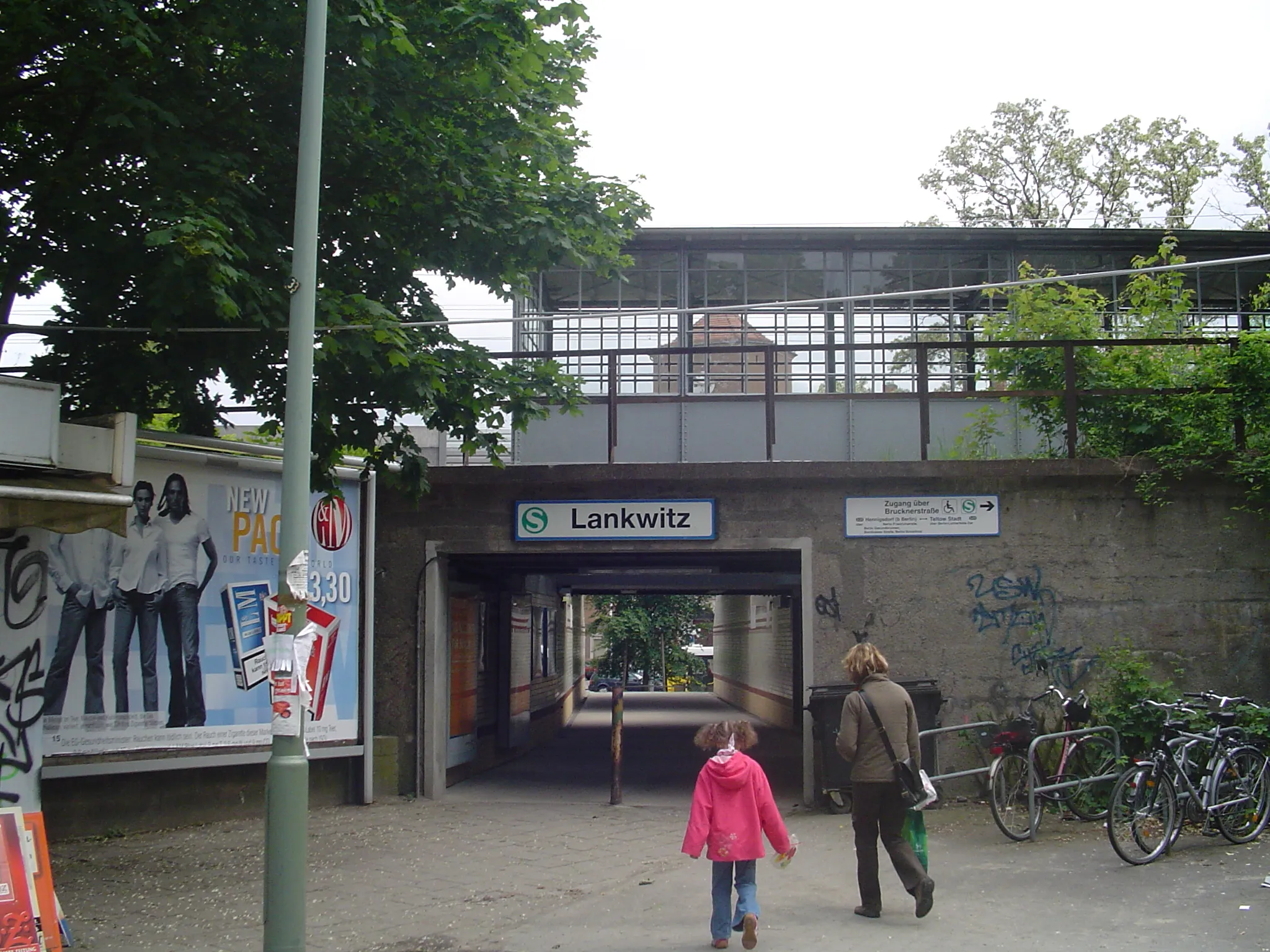
Finish: Locality centerTempelhof: Former airport turned park with cycle-friendly infrastructure
Cycling routes nearby: