Road Cycling Adventure
A road cycling route starting from Tempelhof
Embark on a road cycling adventure near Tempelhof
Map
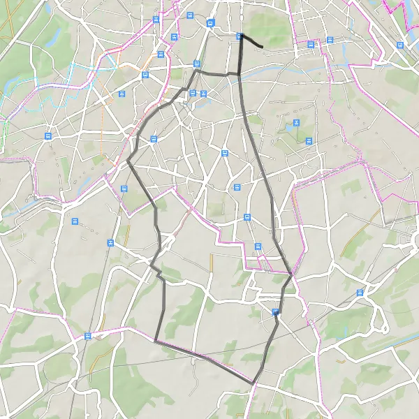
Explore the scenic countryside near Tempelhof with this 42 km road cycling adventure. Suitable for cyclists with moderate experience, this route offers picturesque landscapes and charming spots waiting to be discovered.
road
42 km
76 m
Chill
Route profile
Highlights on the route
0 km
0 km
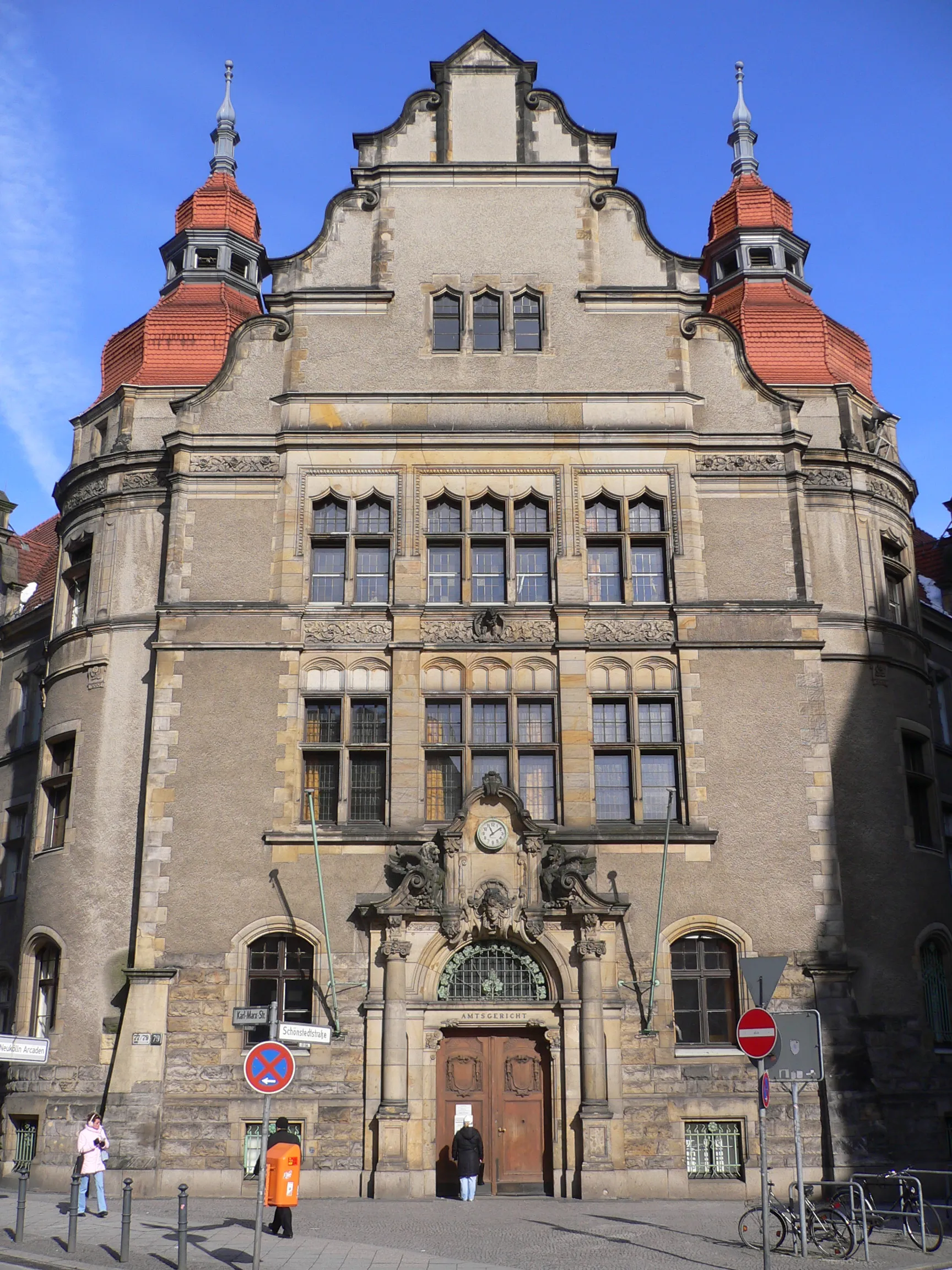
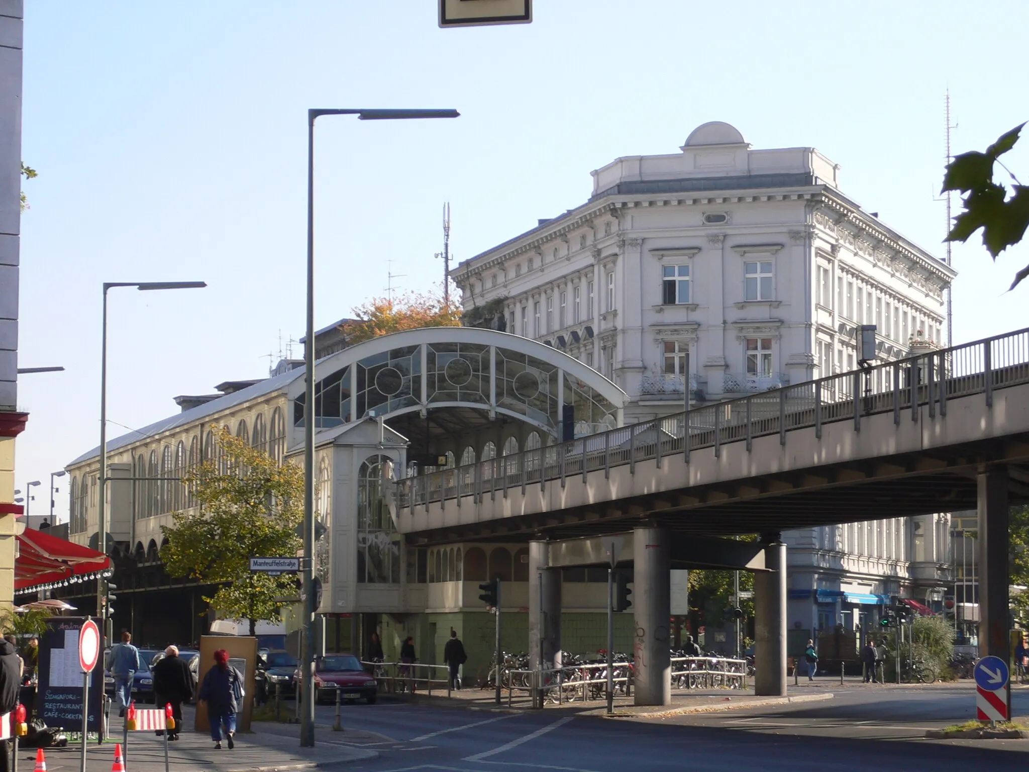
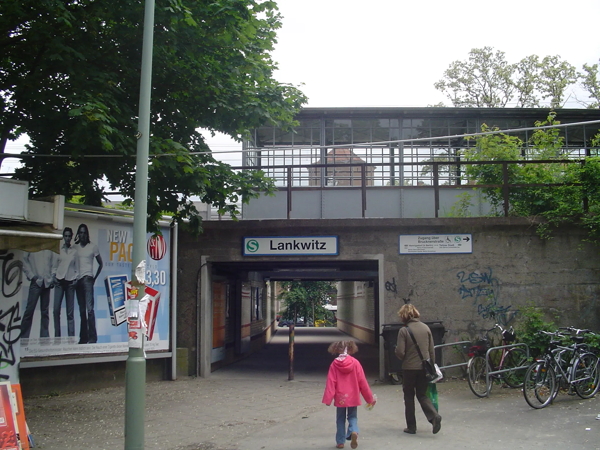
Start: Locality centerTempelhof: Former airport turned park with cycle-friendly infrastructure
Tempelhof is a neighborhood located in the city of Berlin, Germany. From a cyclist's perspective, Tempelhof offers a mix of urban and recreational cycling experiences. The locality features well-maintained roads and cycle lanes, making it easy for cyclists to navigate the area. A highlight of Tempelhof is the Tempelhofer Feld, a former airport turned into a park that offers vast open spaces for cycling. With its history and unique cycling opportunities, Tempelhof is a popular destination among both locals and tourists.14 km
14 km
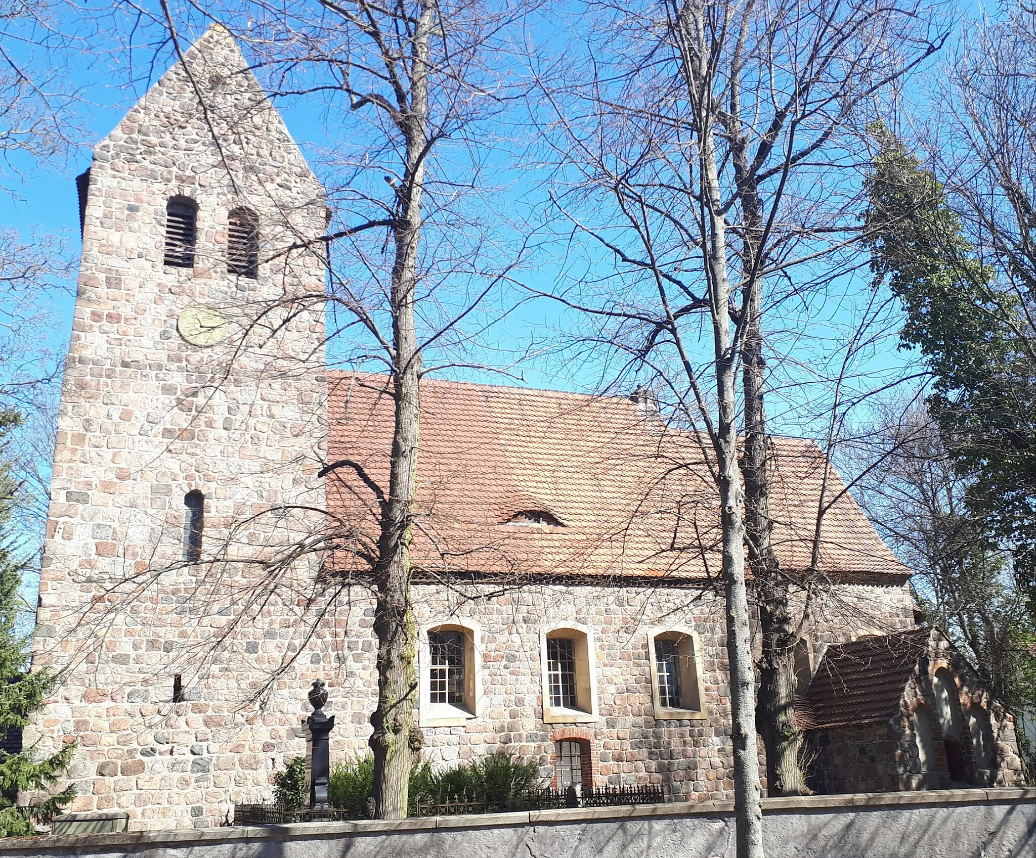
MahlowVillageMahlow features beautiful cycle-friendly paths that wind through serene forests and idyllic ponds, providing a perfect escape, located at 14 km.
20 km
20 km
DiedersdorfVillageDiscover Diedersdorf, surrounded by meadows and forests, offering a serene ambiance at the 20 km mark.
29 km
29 km
Trümmerberg Lichterfelde62 mPeakTrümmerberg Lichterfelde, formed from World War II rubble and now covered in lush greenery, offers a unique cycling experience at 29 km.
36 km
36 km
Rauhe Berge56 mPeakRauhe Berge provides challenging terrain combined with astonishing views, making it a must-visit spot at 36 km.
40 km
40 km
TempelhofSub-urbTempelhof, the starting point that once served as an airfield, is now a sprawling park and a symbol of urban redevelopment at 40 km.
42 km
42 km
Finish: Locality centerTempelhof: Former airport turned park with cycle-friendly infrastructure
Cycling routes nearby: