Tempelhof and Beyond
A road cycling route starting from Tempelhof
Immerse yourself in the history and nature surrounding Tempelhof
Map
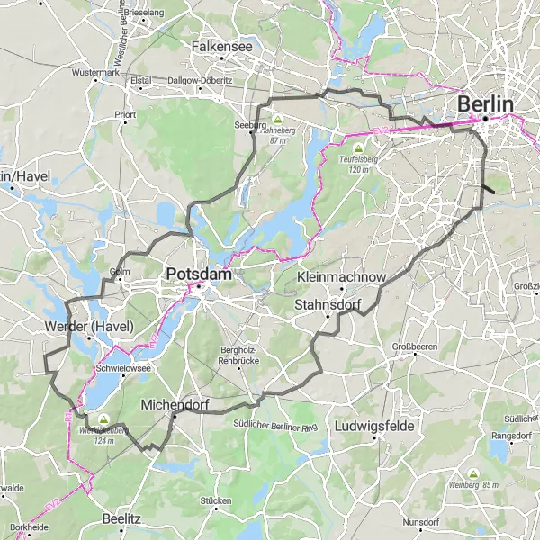
Embark on a scenic 116-kilometer road cycling route that takes you through the rich history and natural beauty surrounding Tempelhof. As you pedal along, you'll encounter charming villages, magnificent viewpoints, and serene landscapes. This route is challenging and best suited for experienced cyclists seeking an epic adventure. Immerse yourself in the stories of the past and enjoy the tranquil atmosphere of the picturesque surroundings.
road
116 km
445 m
Savage
Route profile
Highlights on the route
0 km
0 km
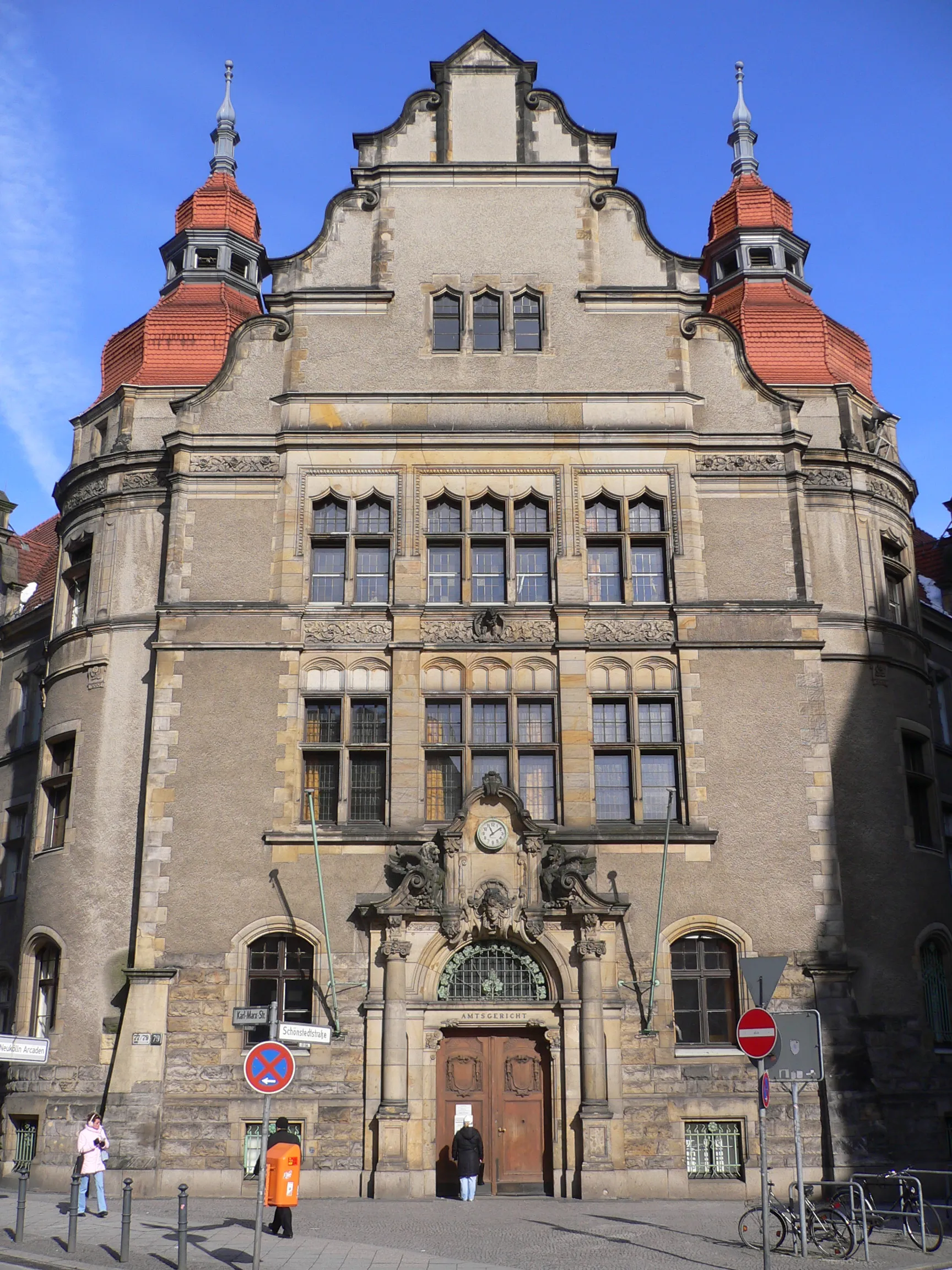
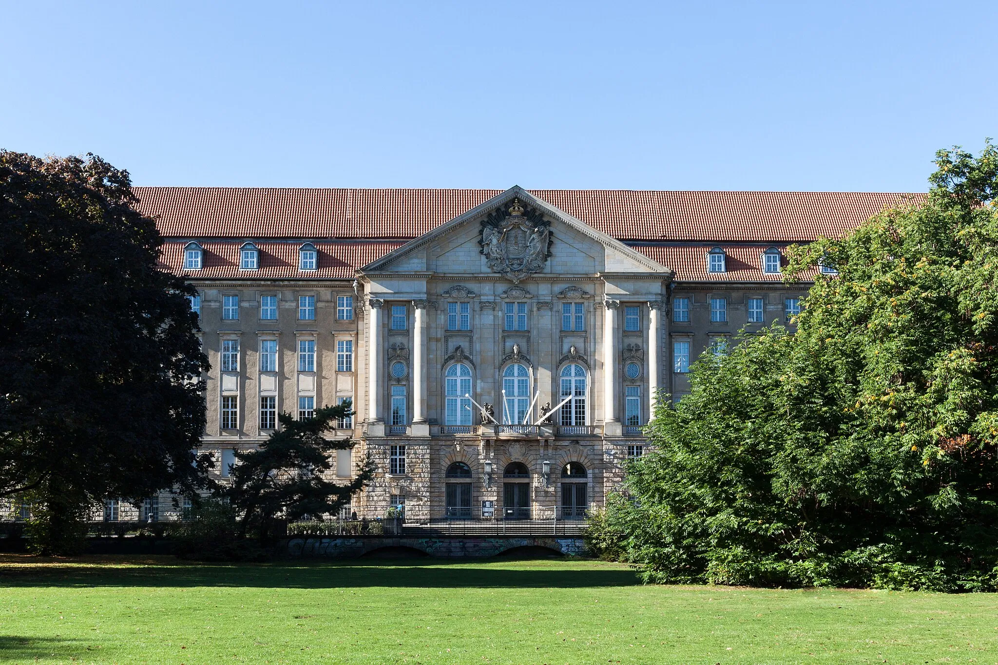
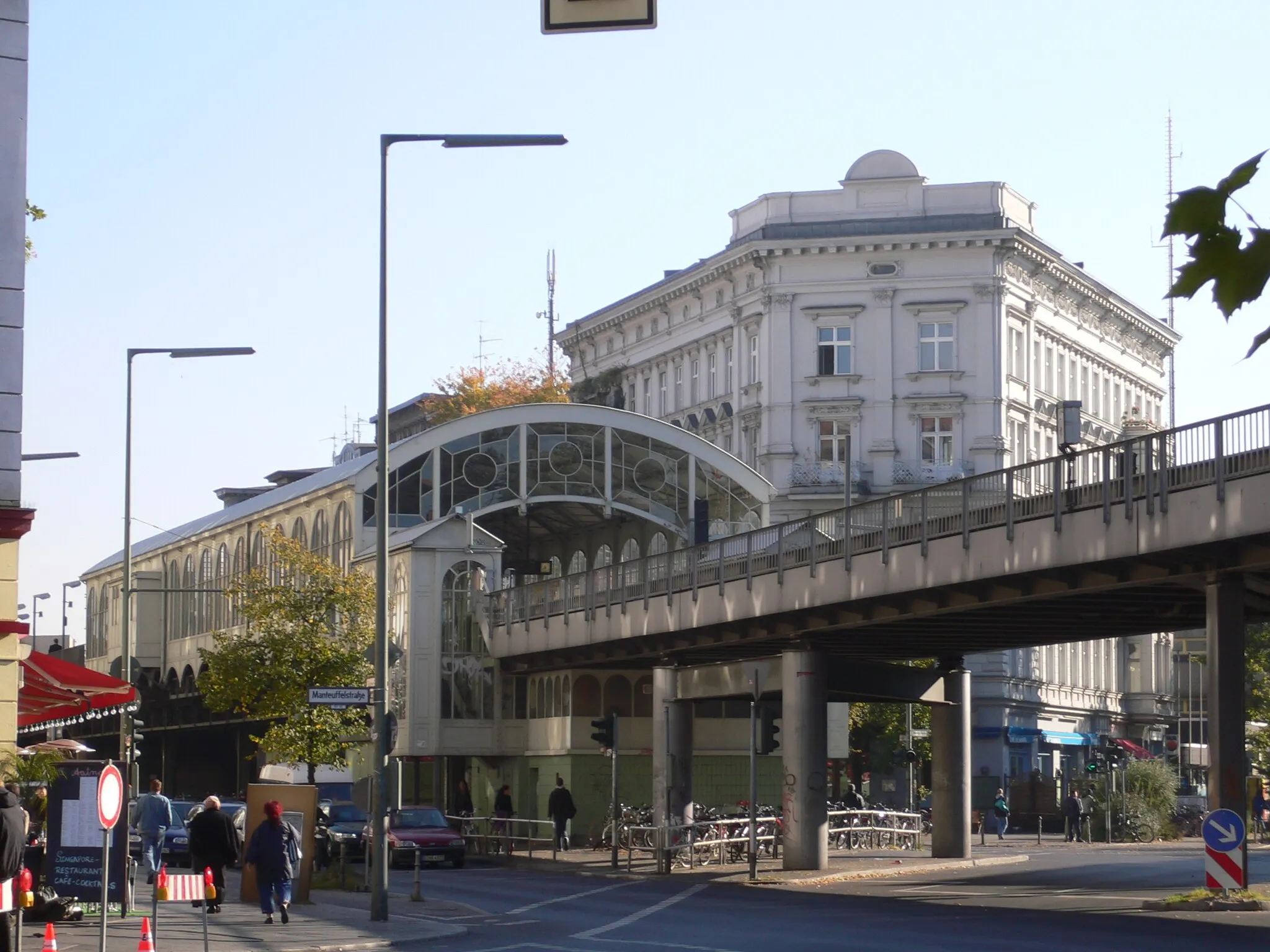
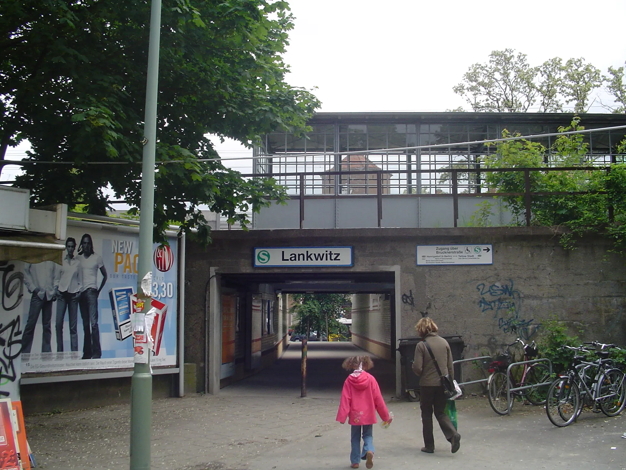
Start: Locality centerTempelhof: Former airport turned park with cycle-friendly infrastructure
Tempelhof is a neighborhood located in the city of Berlin, Germany. From a cyclist's perspective, Tempelhof offers a mix of urban and recreational cycling experiences. The locality features well-maintained roads and cycle lanes, making it easy for cyclists to navigate the area. A highlight of Tempelhof is the Tempelhofer Feld, a former airport turned into a park that offers vast open spaces for cycling. With its history and unique cycling opportunities, Tempelhof is a popular destination among both locals and tourists.2 km
2 km
TempelhofSub-urbStart your journey at the iconic Tempelhof Airport, once one of the world's busiest airports.
24 km
24 km
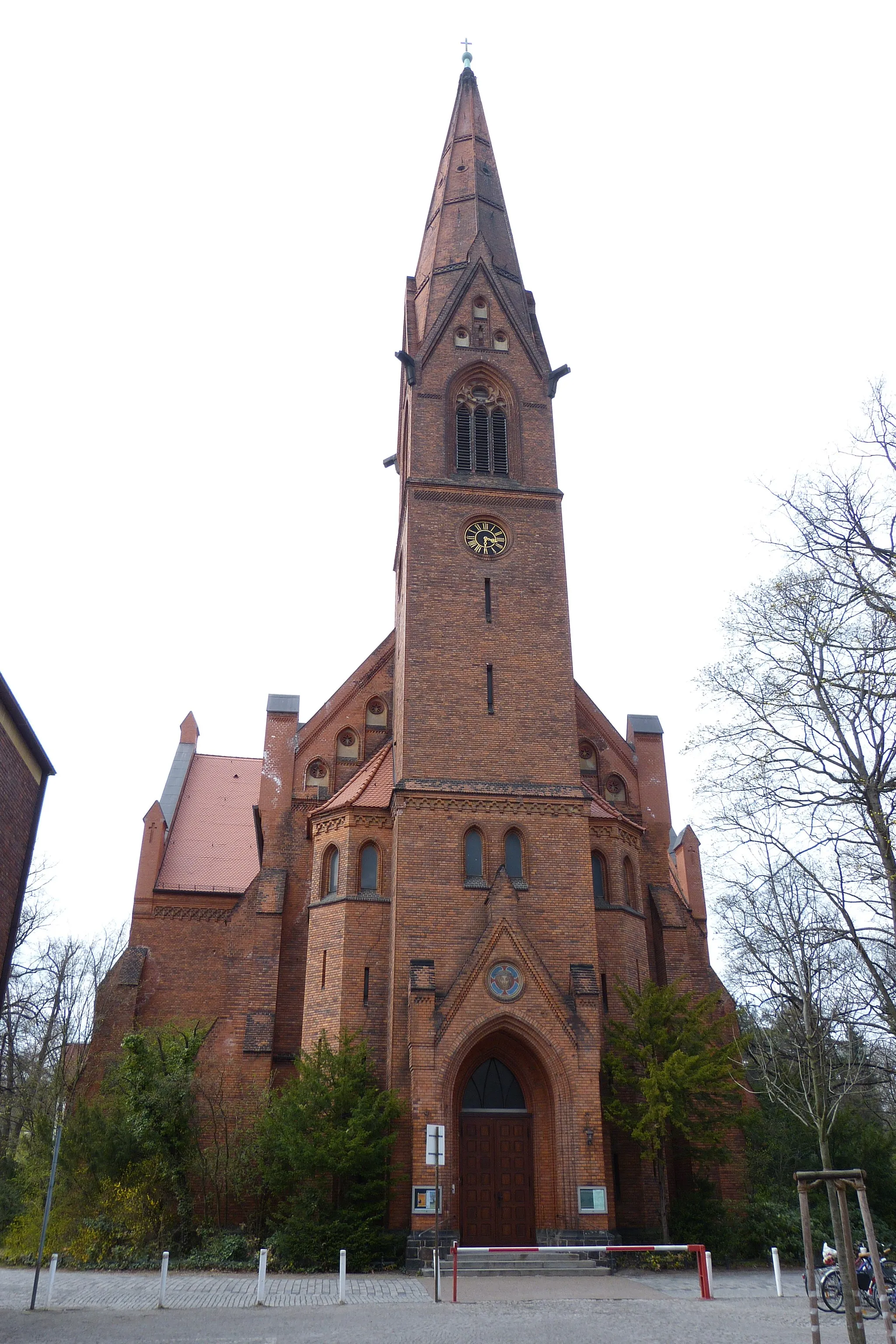
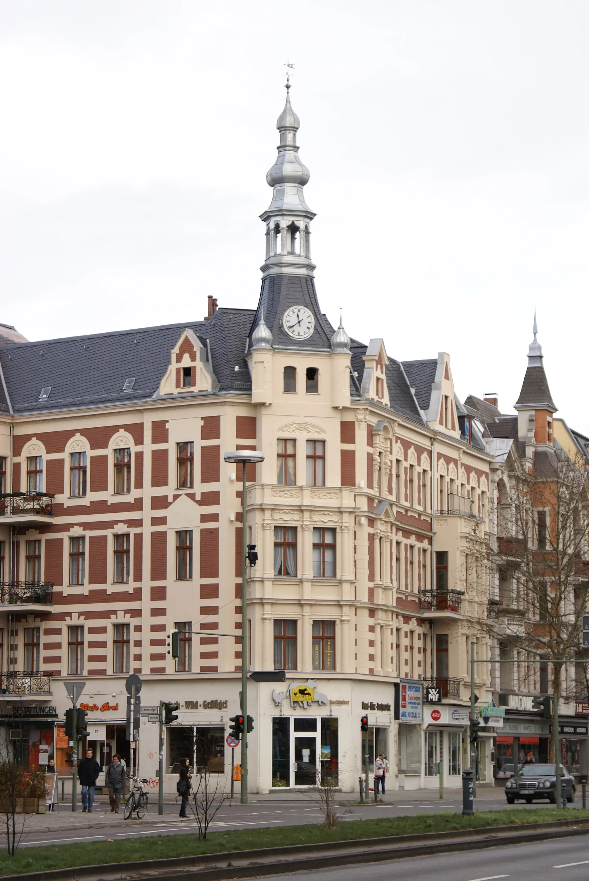
SchenkenhorstVillagePass through Schenkenhorst, a small village known for its historical charm and natural beauty.
43 km
43 km
NeuseddinVillageVisit Neuseddin and explore its stunning landscapes, including lakes and rolling hills.
45 km
45 km
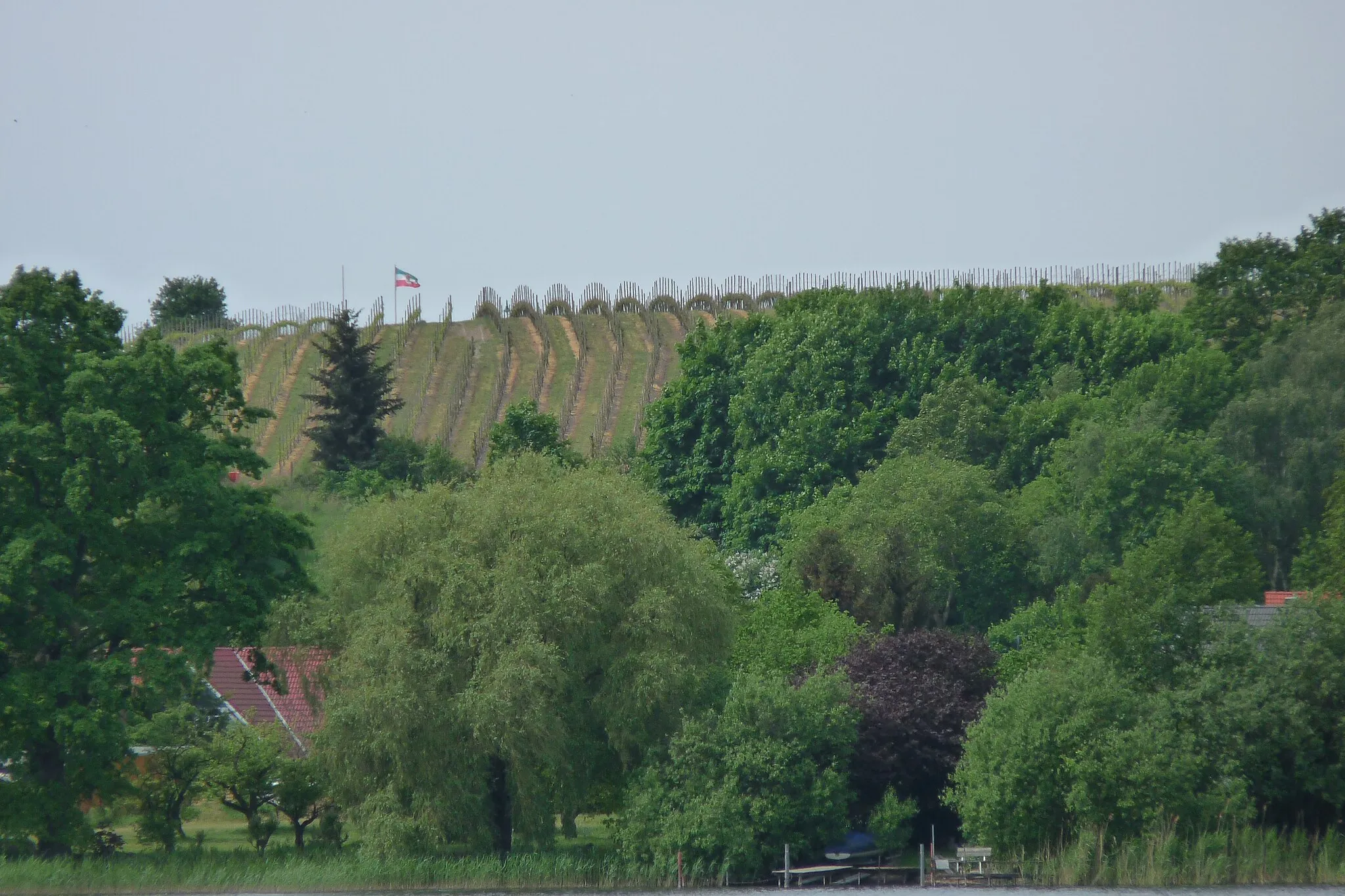
Schmerberg59 mPeakCycle through Schmerberg, a rural area with captivating countryside views.
59 km
59 km
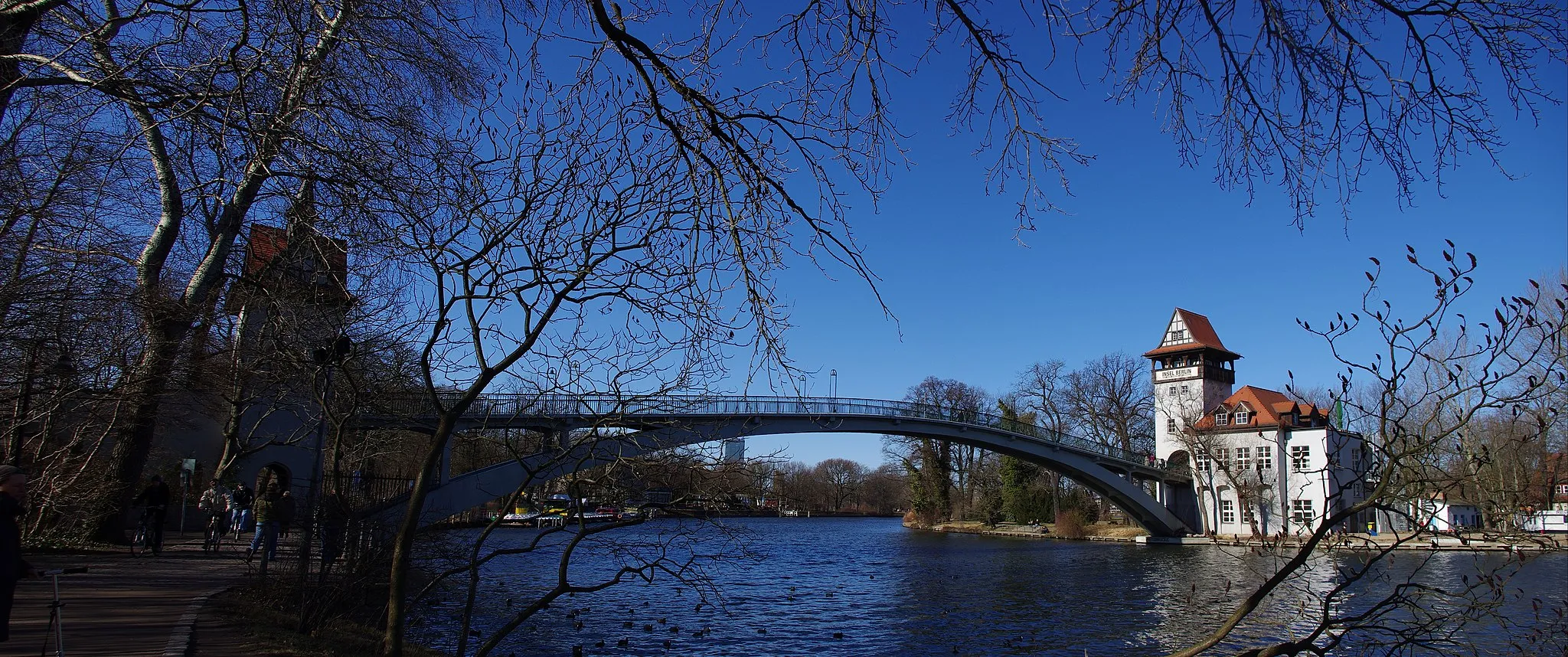
GlindowSub-urbStop at Glindow and take a break by its beautiful lake surrounded by the rustic charm of the region.
68 km
68 km
StorchenbankViewpointRest on the Storchenbank, a bench offering breathtaking views of the pristine landscape.
78 km
78 km
Aasberg46 mPeakDiscover the Aasberg, a notable hill that provides captivating views of the surrounding nature.
87 km
87 km
SeeburgVillageArrive at Seeburg and enjoy the tranquility of its idyllic lake nestled within enchanting forests.
110 km
110 km
PanoramapointViewpointReach the Panoramapoint, offering sweeping panoramic vistas of the scenic countryside.
111 km
111 km
AkzisemauerAttractionMarvel at the Akzisemauer, a historical wall tracing back to the Prussian Empire, surrounded by beautiful countryside.
116 km
116 km
Finish: Locality centerTempelhof: Former airport turned park with cycle-friendly infrastructure
Cycling routes nearby: