Road Cycling Experience
A road cycling route starting from Tempelhof
An invigorating road cycling route with scenic spots
Map
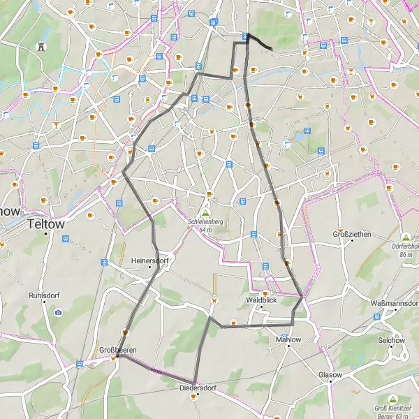
Experience the exhilaration of road cycling with this 42 km route near Tempelhof. With a moderate difficulty level, this ride is perfect for well-trained amateurs seeking a challenge. Along the way, you will encounter picturesque landscapes and historical landmarks, making it a memorable journey.
road
42 km
80 m
Chill
Route profile
Highlights on the route
0 km
0 km
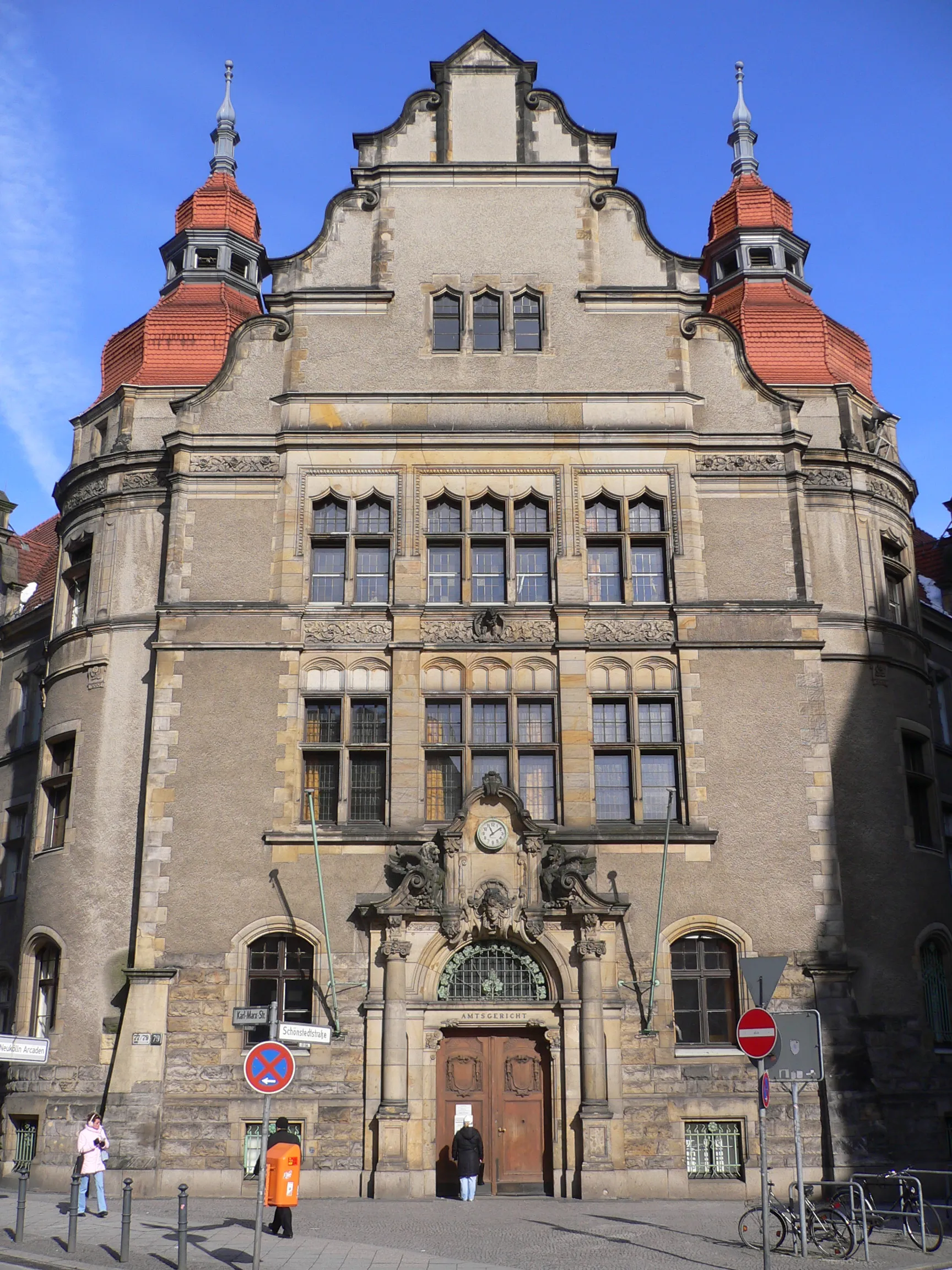
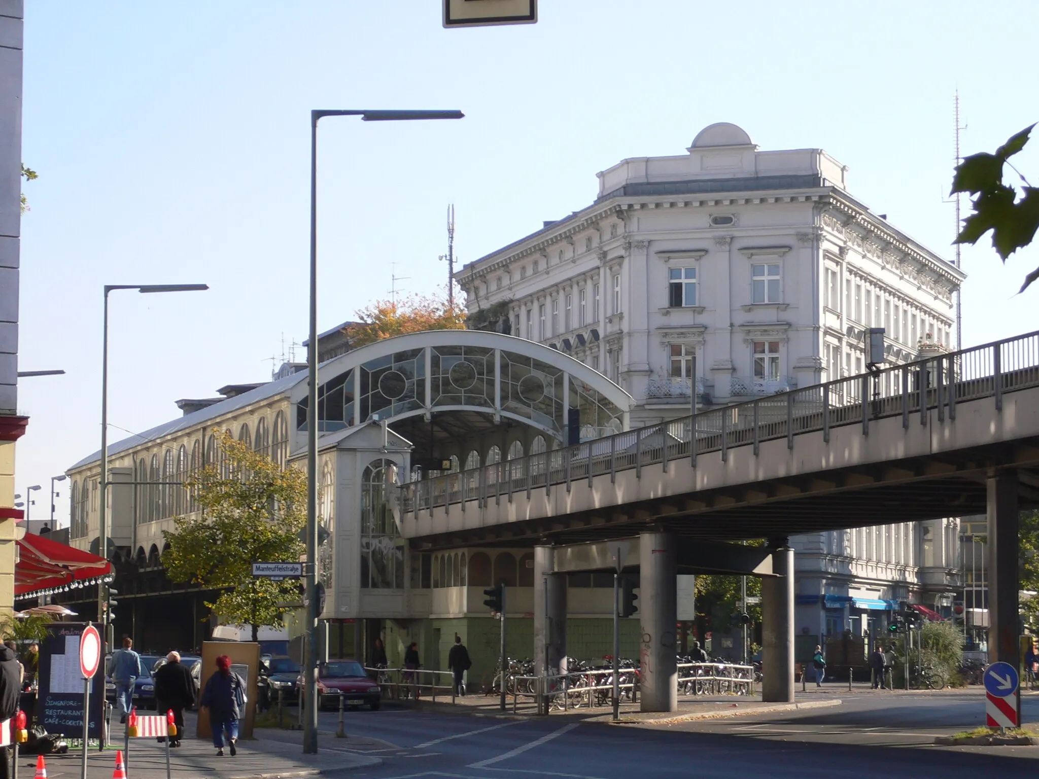
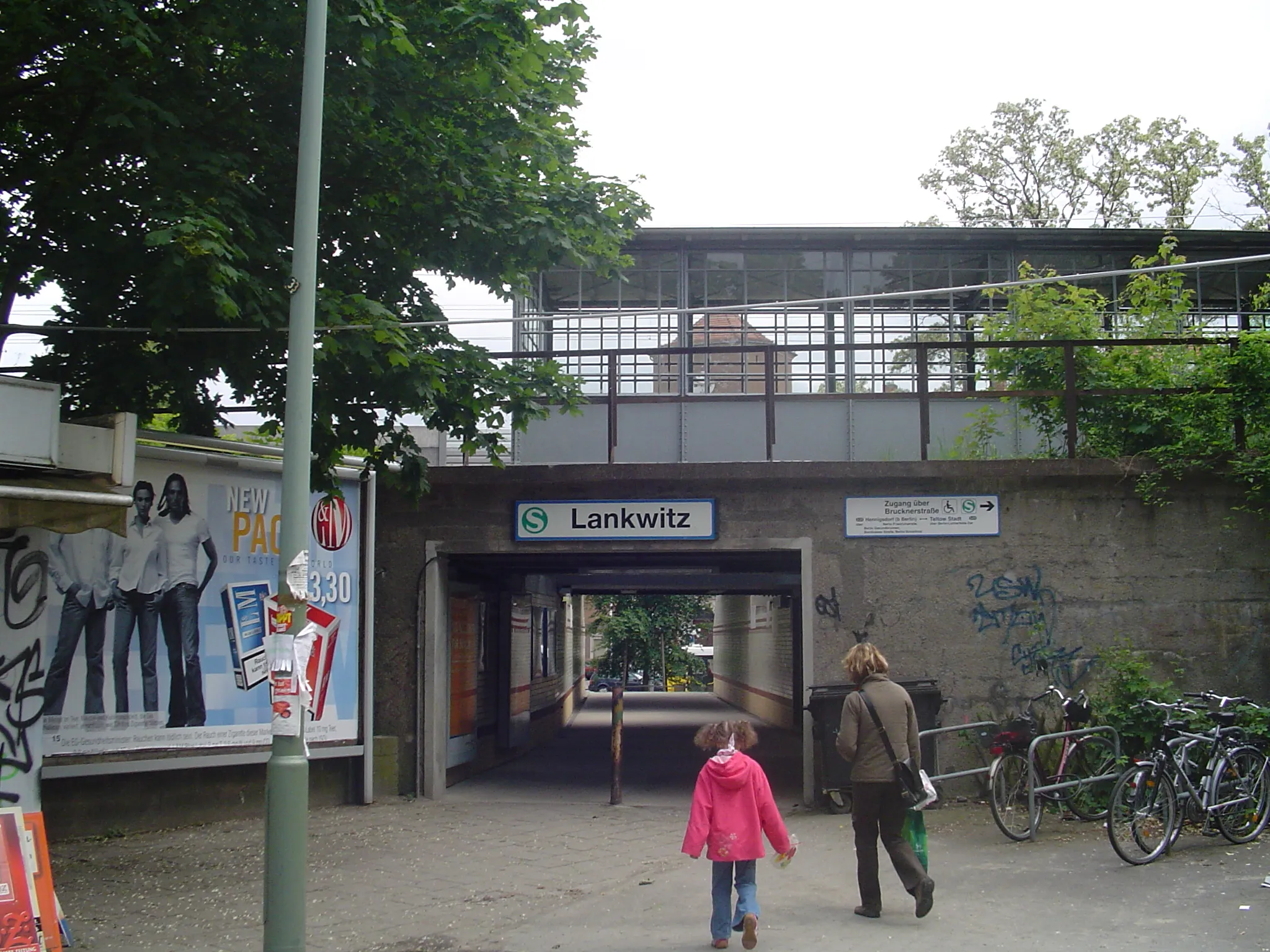
Start: Locality centerTempelhof: Former airport turned park with cycle-friendly infrastructure
Tempelhof is a neighborhood located in the city of Berlin, Germany. From a cyclist's perspective, Tempelhof offers a mix of urban and recreational cycling experiences. The locality features well-maintained roads and cycle lanes, making it easy for cyclists to navigate the area. A highlight of Tempelhof is the Tempelhofer Feld, a former airport turned into a park that offers vast open spaces for cycling. With its history and unique cycling opportunities, Tempelhof is a popular destination among both locals and tourists.2 km
2 km
TempelhofSub-urbStart your ride at Tempelhof, the historic airport transformed into the city's largest public park.
19 km
19 km
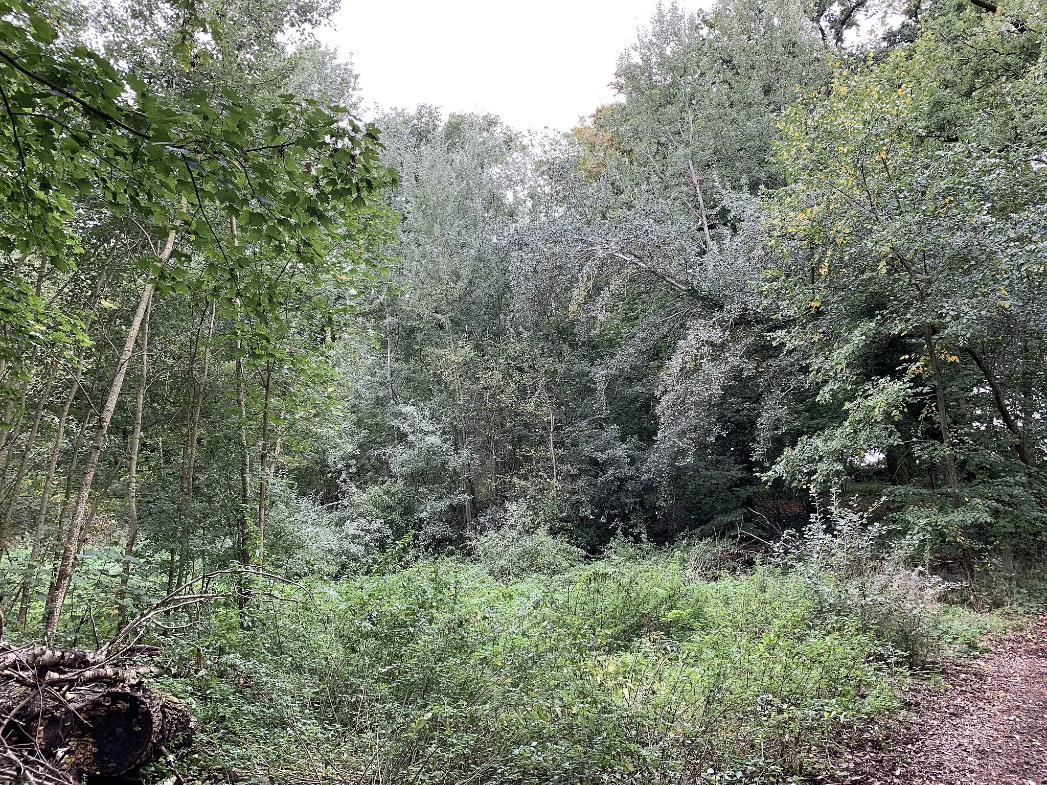
Mühlenberg49 mPeakAdmire the beauty of Mühlenberg, a peaceful hill offering panoramic views at the 19 km mark.
19 km
19 km
DiedersdorfVillageDiedersdorf is a charming village known for its well-preserved half-timbered houses, located at 19 km.
27 km
27 km
HeinersdorfVillageHeinersdorf presents a pleasant stop with its tranquil atmosphere and traditional architecture at 27 km.
36 km
36 km
Rauhe Berge56 mPeakRauhe Berge is a hilly area with scenic paths perfect for road cycling, offering breathtaking vistas at 36 km.
42 km
42 km
Finish: Locality centerTempelhof: Former airport turned park with cycle-friendly infrastructure
Cycling routes nearby: