Lerchenberg Loop
A gravel cycling route starting from Pausa
An exhilarating gravel route with scenic landscapes and challenging climbs
Map
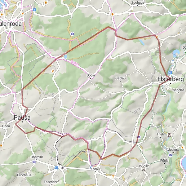
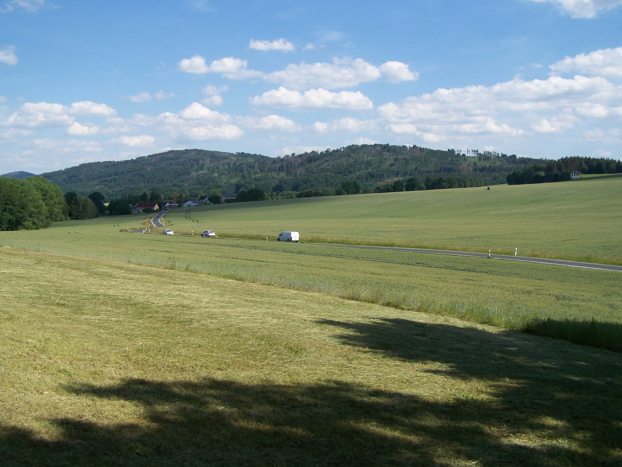
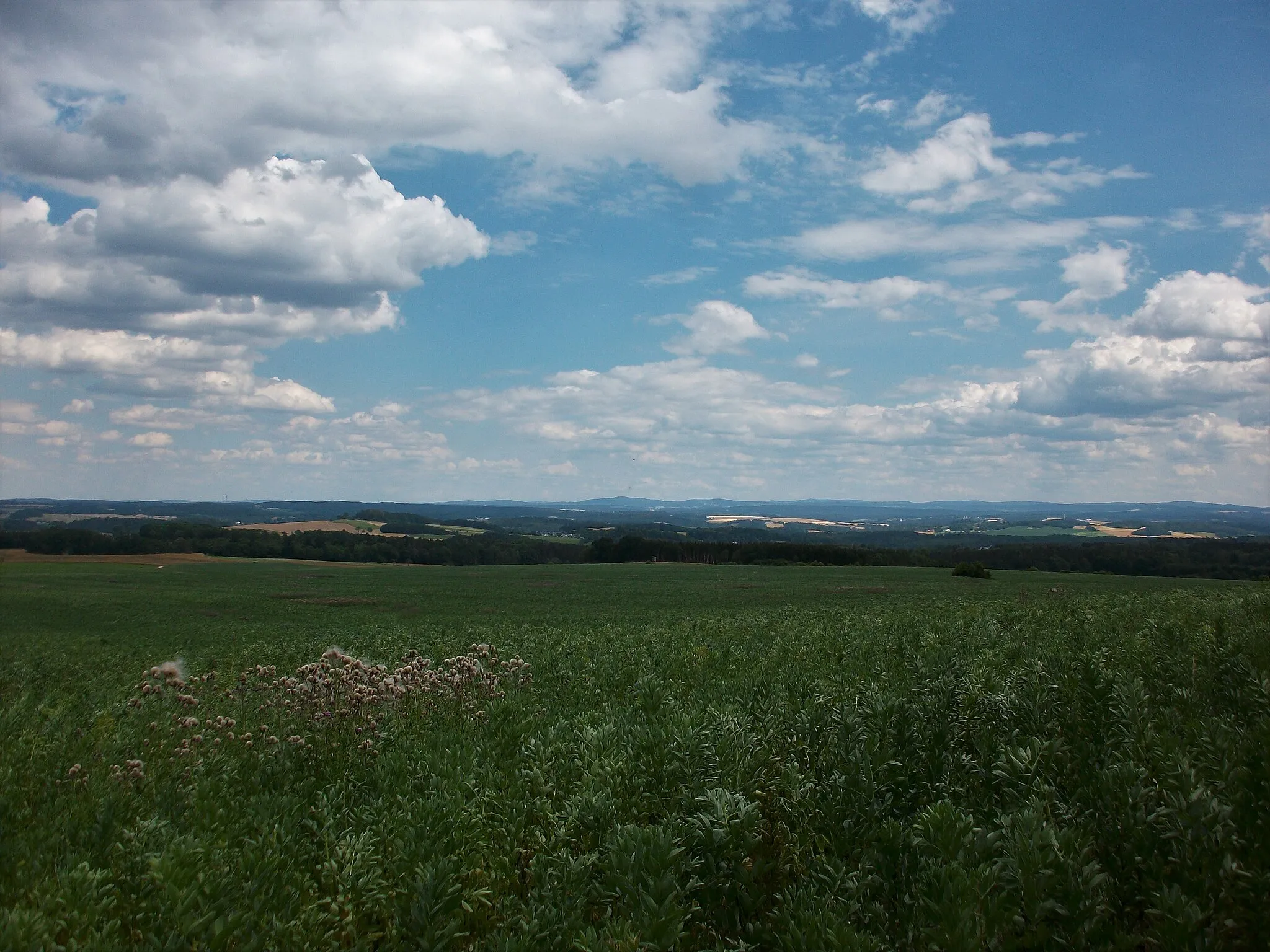
The Lerchenberg Loop is a thrilling 41-kilometer gravel route that offers stunning views of the surrounding landscapes. With a total ascent of 634 meters and an average difficulty level, it is suitable for well-trained amateur cyclists. The route takes you through beautiful rural areas and quaint villages, providing a peaceful and enjoyable cycling experience. Highlights include Lerchenberg, a picturesque hill with panoramic views, Elsterberg, a charming town known for its historical architecture, Alberthöhe, a scenic mountain pass, and Frotschau, a small village with idyllic charm.
gravel
41 km
634 m
Tough
Route profile
Highlights on the route
0 km
0 km
Start: Oberreichenau Village centerPausa: Varied terrains and challenging climbs, including Pöhlberg.
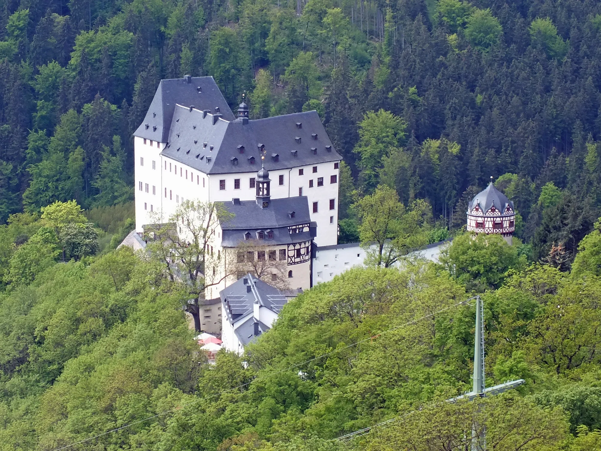
Pausa, situated in Chemnitz, Germany, is a great destination for road and gravel cyclists. The region offers a diverse range of terrains, including flat stretches, rolling hills, and challenging climbs. One of the notable cycling spots nearby is the Pöhlberg, a well-known climb that attracts cyclists seeking a tough ascent. Pausa itself provides a cycle-friendly environment with well-maintained roads and scenic routes. Cyclists can relish in the beauty of the surrounding landscapes and visit local attractions like the Pausenstein Castle. Overall, Pausa is a recommended locality for cyclists looking for varied terrains and challenging climbs.7 km
7 km
Lerchenberg462 mPeakLerchenberg offers stunning panoramic views of the surrounding landscapes, making it a must-visit highlight on this route.
21 km
21 km
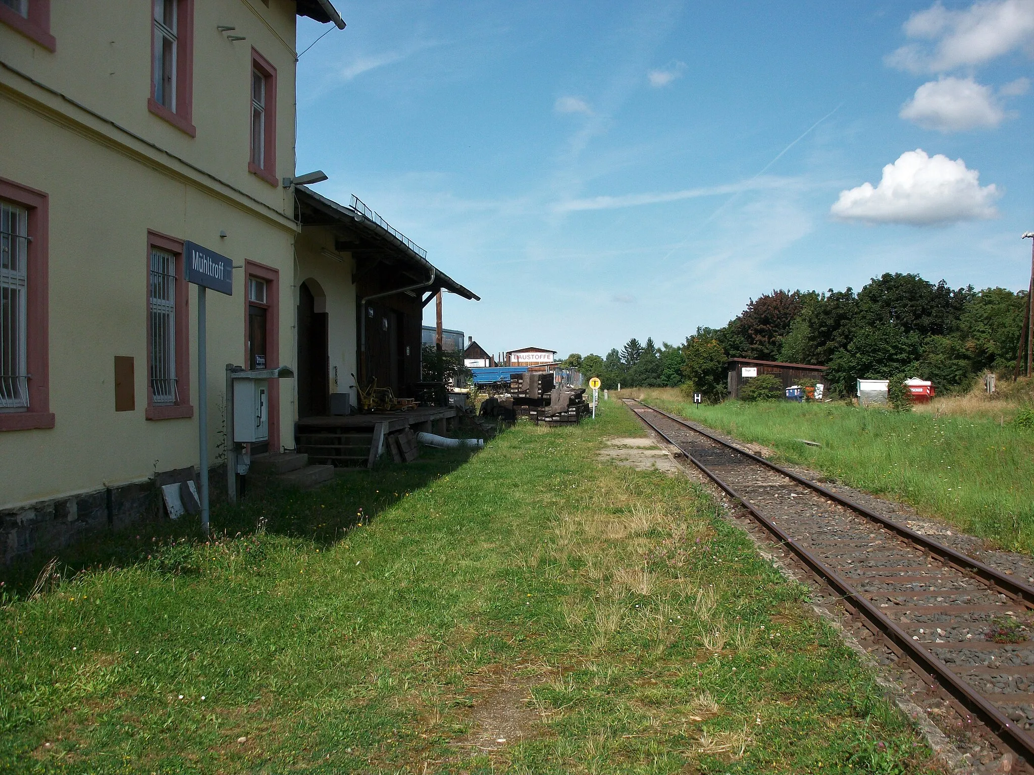
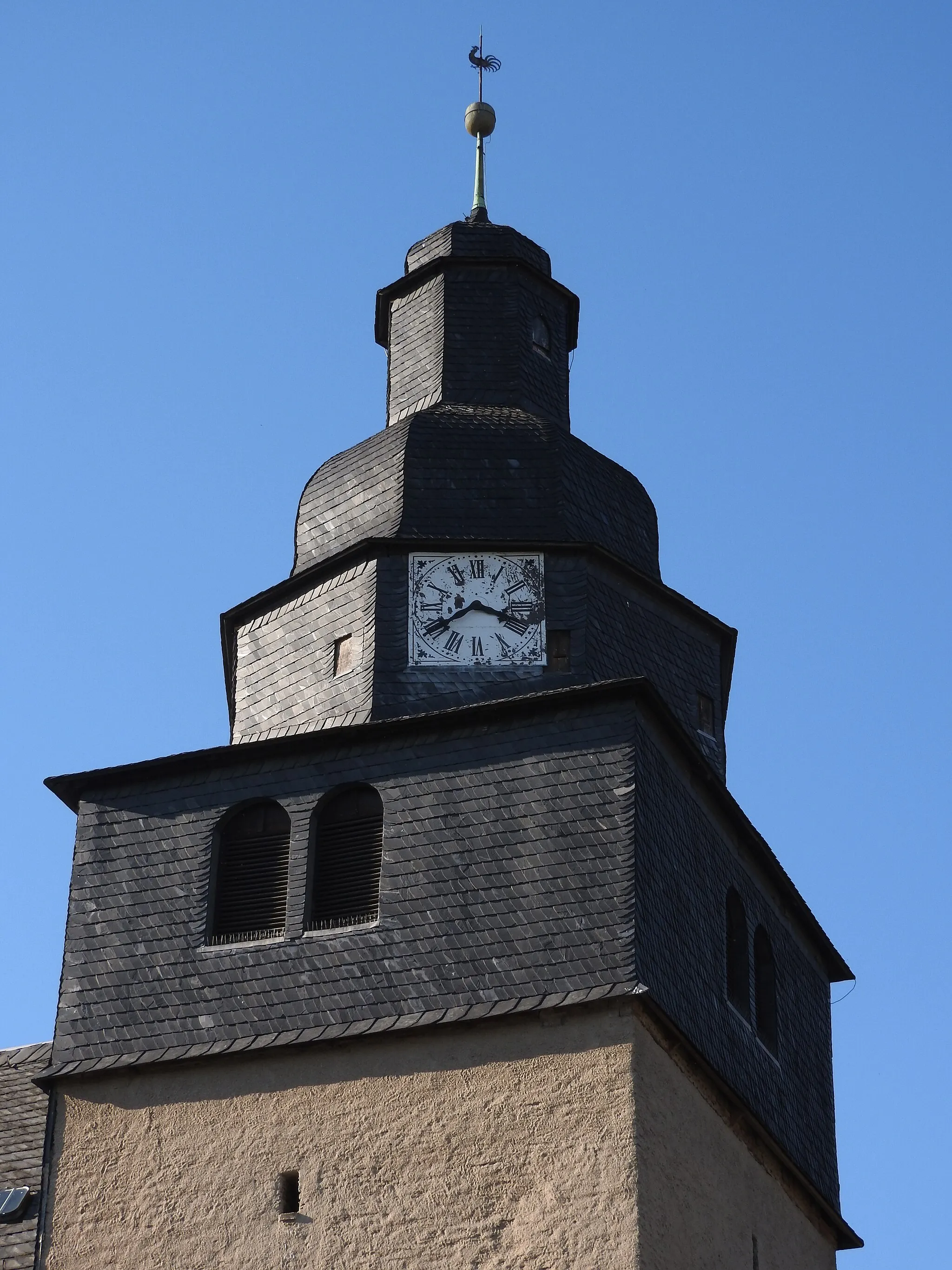
ElsterbergTownElsterberg is a picturesque town with historical architecture, perfect for a leisurely stop during your ride.
27 km
27 km
AlberthöheViewpointAlberthöhe is a scenic mountain pass that provides a challenging but rewarding cycling experience.
34 km
34 km
FrotschauVillageFrotschau is a small village with charming rural landscapes, ideal for a peaceful and relaxing break from cycling.
41 km
41 km
Finish: Oberreichenau Village centerPausa: Varied terrains and challenging climbs, including Pöhlberg.
Cycling routes nearby: