The Gravel Escape
A gravel cycling route starting from Pausa
Discover the beauty of the gravel roads near Pausa
Map
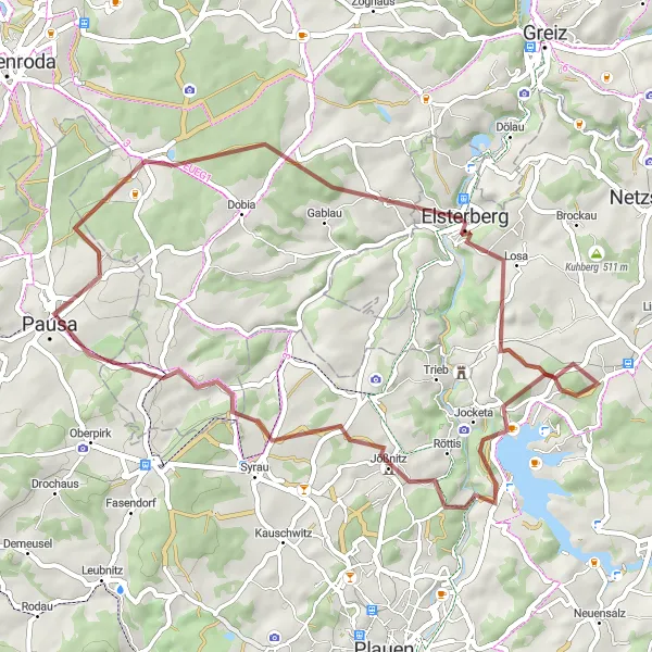
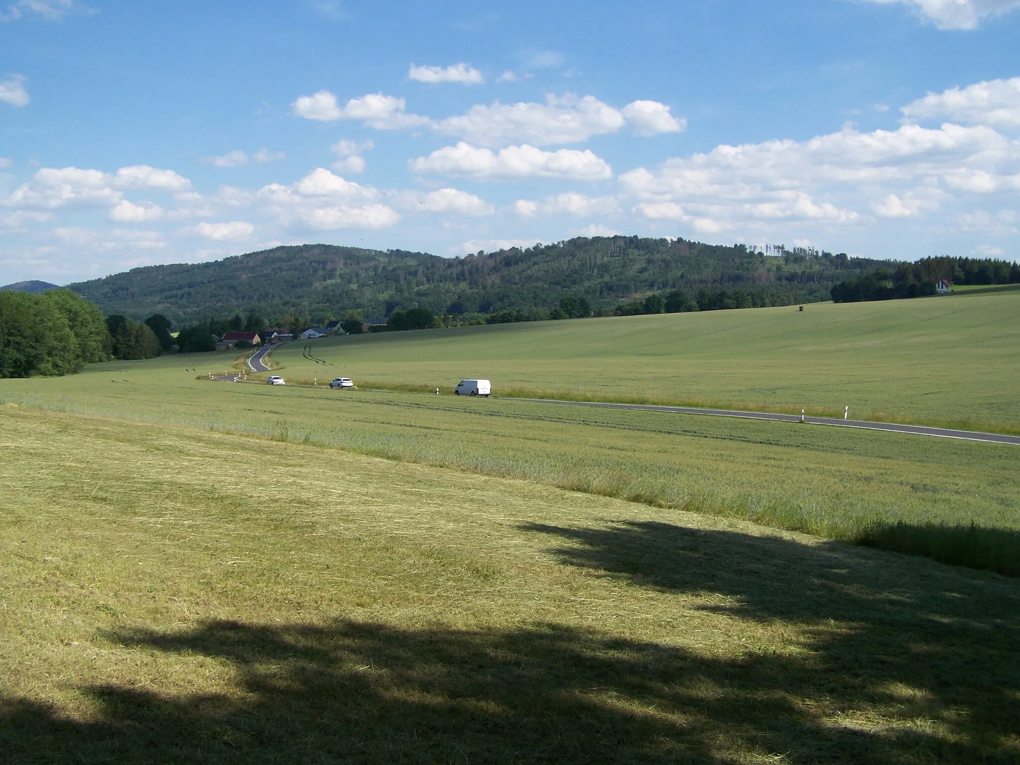
The Gravel Escape is a 51-kilometer gravel cycling route that takes riders on an adventure through scenic paths near Pausa. With an ascent of 955 meters, this off-road route offers a challenging experience for gravel enthusiasts. Highlights of the route include Lerchenberg, Wellsdorf, Elsterberg, Loreley, Blick übers Vogtland ins Erzgebirge, and Frotschau. These exceptional spots offer breathtaking views and unique natural features.
gravel
51 km
955 m
Tough
Route profile
Highlights on the route
0 km
0 km
Start: Ebersgrün Village centerPausa: Varied terrains and challenging climbs, including Pöhlberg.
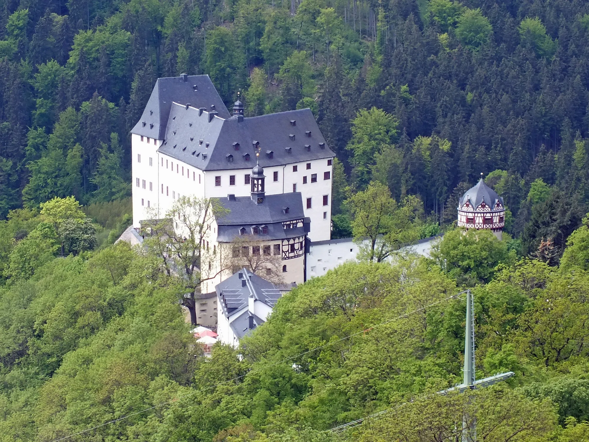
Pausa, situated in Chemnitz, Germany, is a great destination for road and gravel cyclists. The region offers a diverse range of terrains, including flat stretches, rolling hills, and challenging climbs. One of the notable cycling spots nearby is the Pöhlberg, a well-known climb that attracts cyclists seeking a tough ascent. Pausa itself provides a cycle-friendly environment with well-maintained roads and scenic routes. Cyclists can relish in the beauty of the surrounding landscapes and visit local attractions like the Pausenstein Castle. Overall, Pausa is a recommended locality for cyclists looking for varied terrains and challenging climbs.5 km
5 km
Lerchenberg462 mPeak10 km
10 km
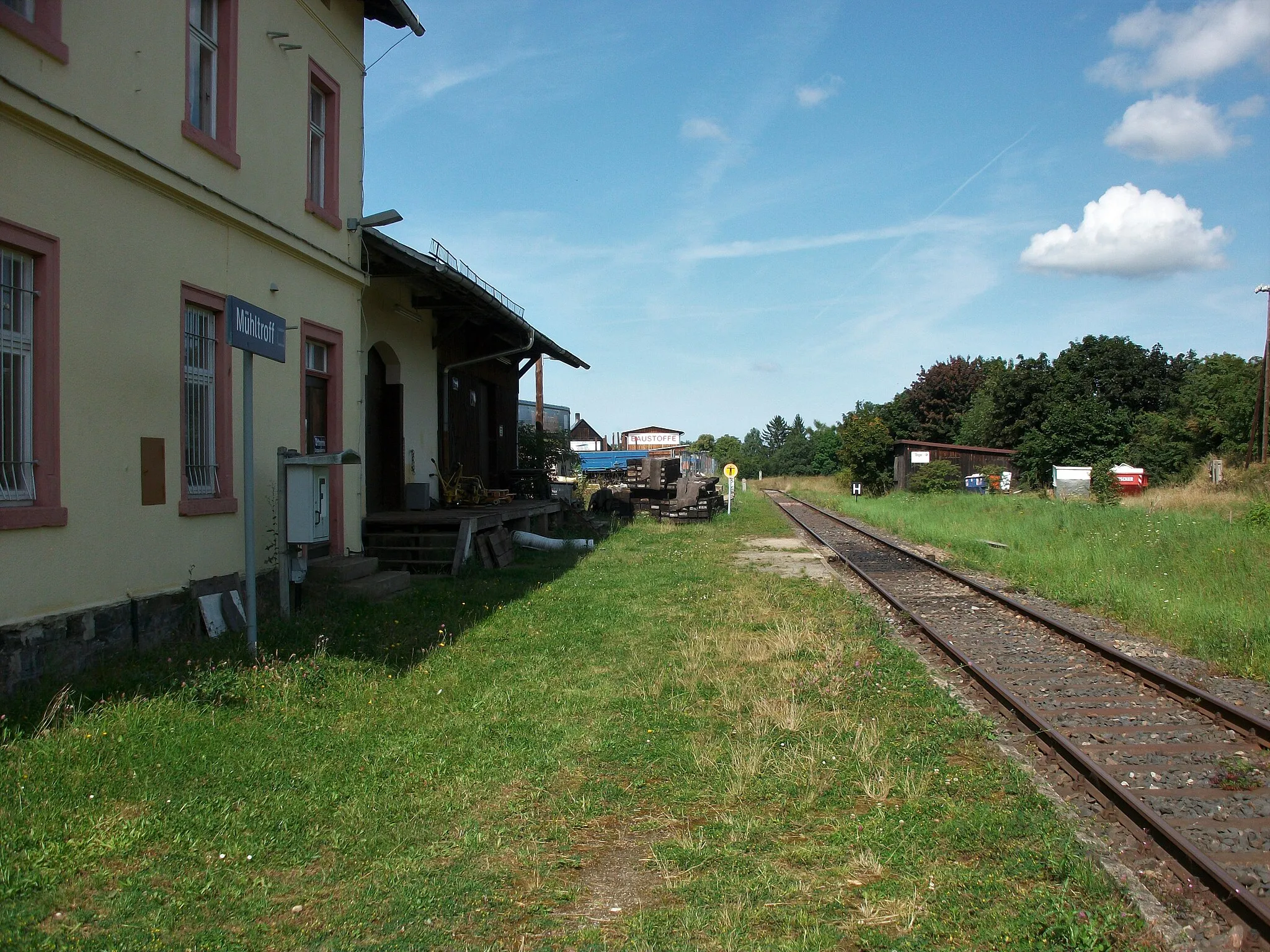
WellsdorfVillageWellsdorf, located at the 10-kilometer mark, is known for its historic architecture and picturesque surroundings.
15 km
15 km
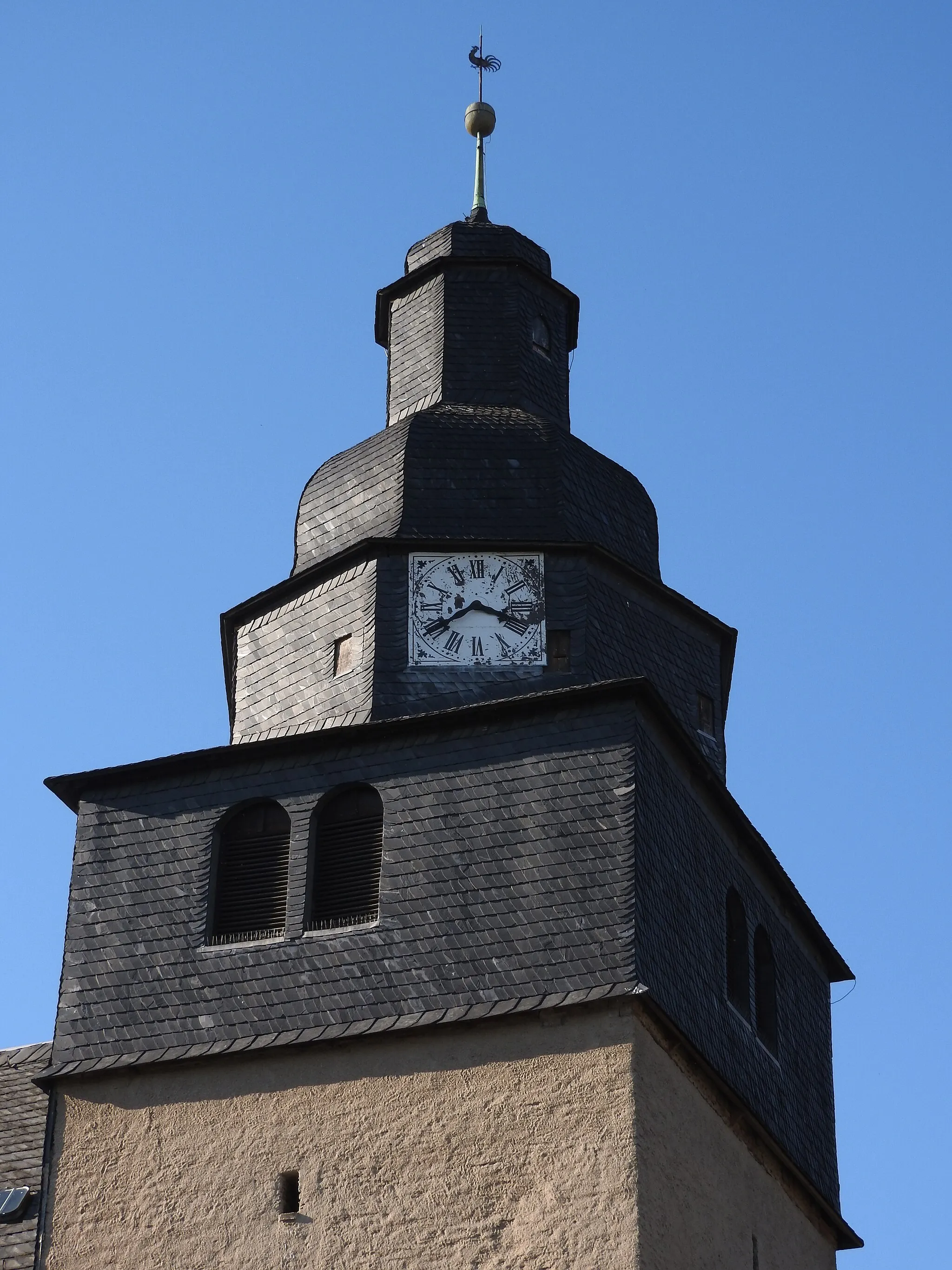
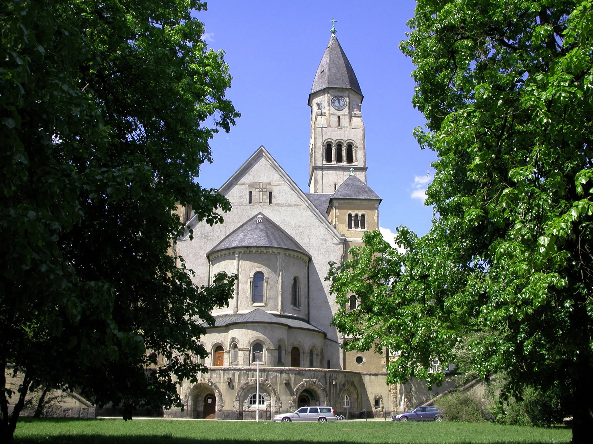
ElsterbergTownElsterberg, at the 15-kilometer mark, is a charming town with a rich history and beautiful castle.
30 km
30 km
LoreleyViewpointLoreley, at the 30-kilometer mark, is a natural landmark that offers breathtaking panoramic views of the surrounding landscape.
41 km
41 km
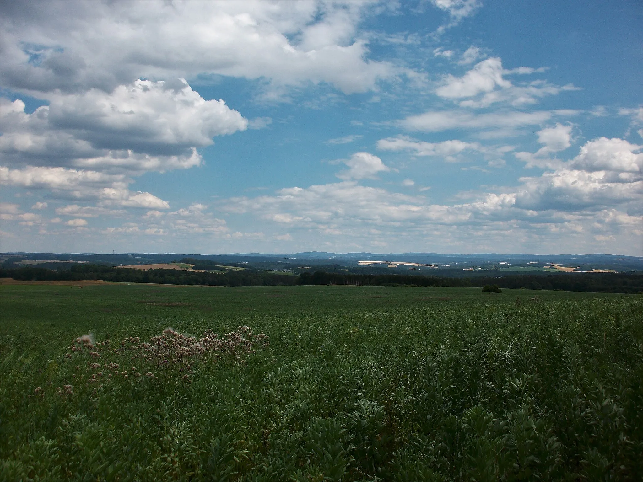
Blick übers Vogtland ins ErzgebirgeViewpointBlick übers Vogtland ins Erzgebirge, at the 41-kilometer mark, offers sweeping views of the Vogtland region and the nearby Erzgebirge Mountains.
44 km
44 km
FrotschauVillageFrotschau, at the 44-kilometer mark, is a small village surrounded by picturesque countryside.
51 km
51 km
EbersgrünVillageEbersgrün, at 51-kilometer mark, is known for its traditional architecture and charming atmosphere.
51 km
51 km
Finish: Ebersgrün Village centerPausa: Varied terrains and challenging climbs, including Pöhlberg.
Cycling routes nearby: