The Rural Road Challenge
A road cycling route starting from Pausa
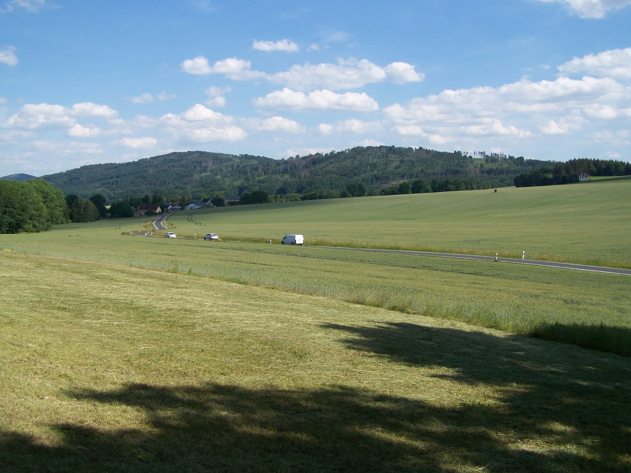
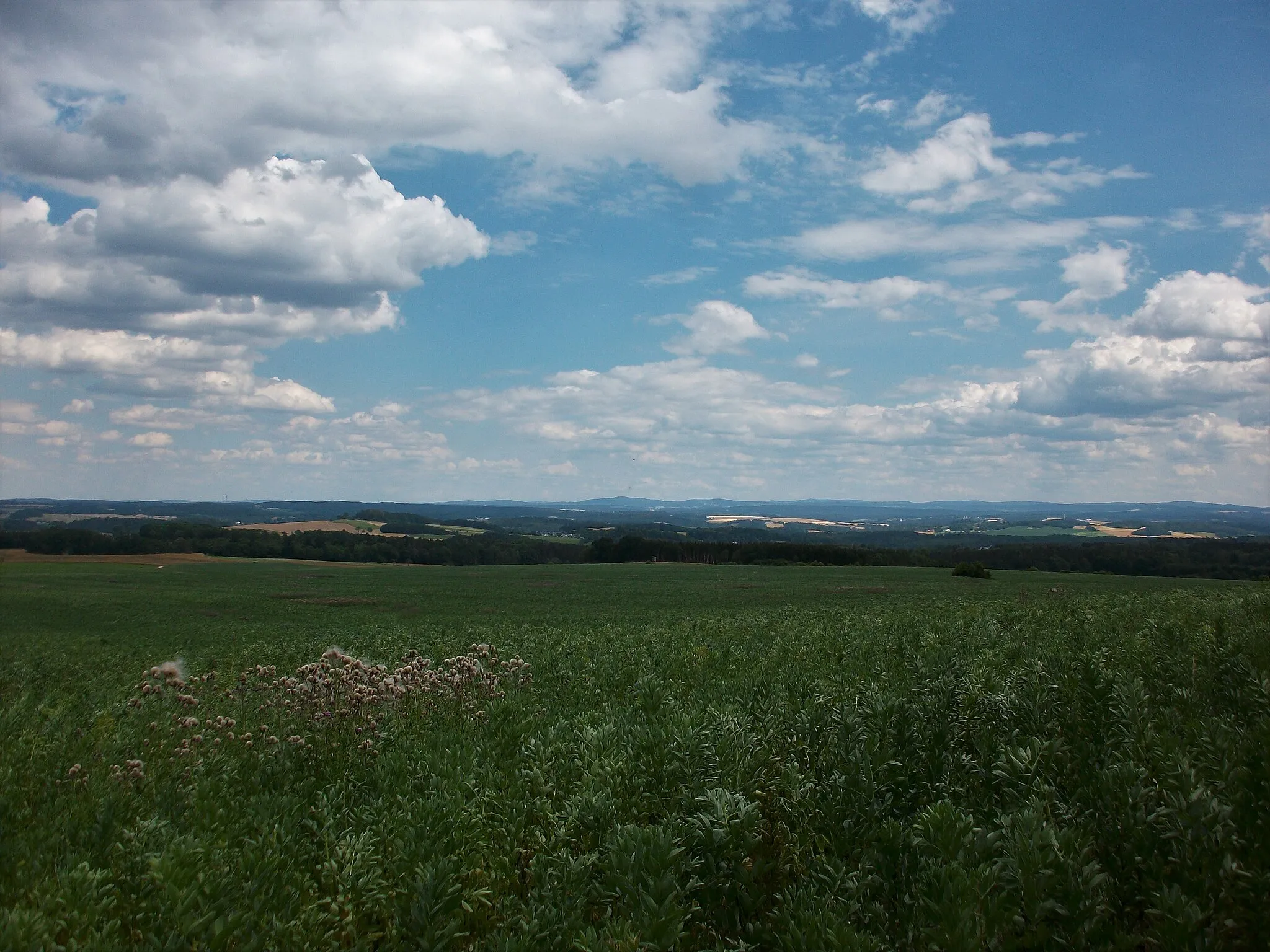
Experience the beauty of the rural countryside near Pausa
Map
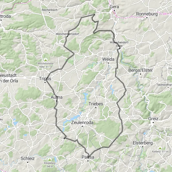
The Rural Road Challenge is a 97-kilometer road cycling route that takes riders through the idyllic rural landscapes near Pausa. With a total ascent of 1076 meters, this route offers a moderate challenge for cyclists. Along the way, you will pass through Leitlitz, Triptis, Lerchenberg, Münchenbernsdorf, Kienberg, Zoitzberg, Schloss Mildenfurth, Kühdorf, Pfarrberg, and Ebersgrün, each offering unique sights and attractions.
road
97 km
1076 m
Tough
Route profile
Highlights on the route
0 km
0 km
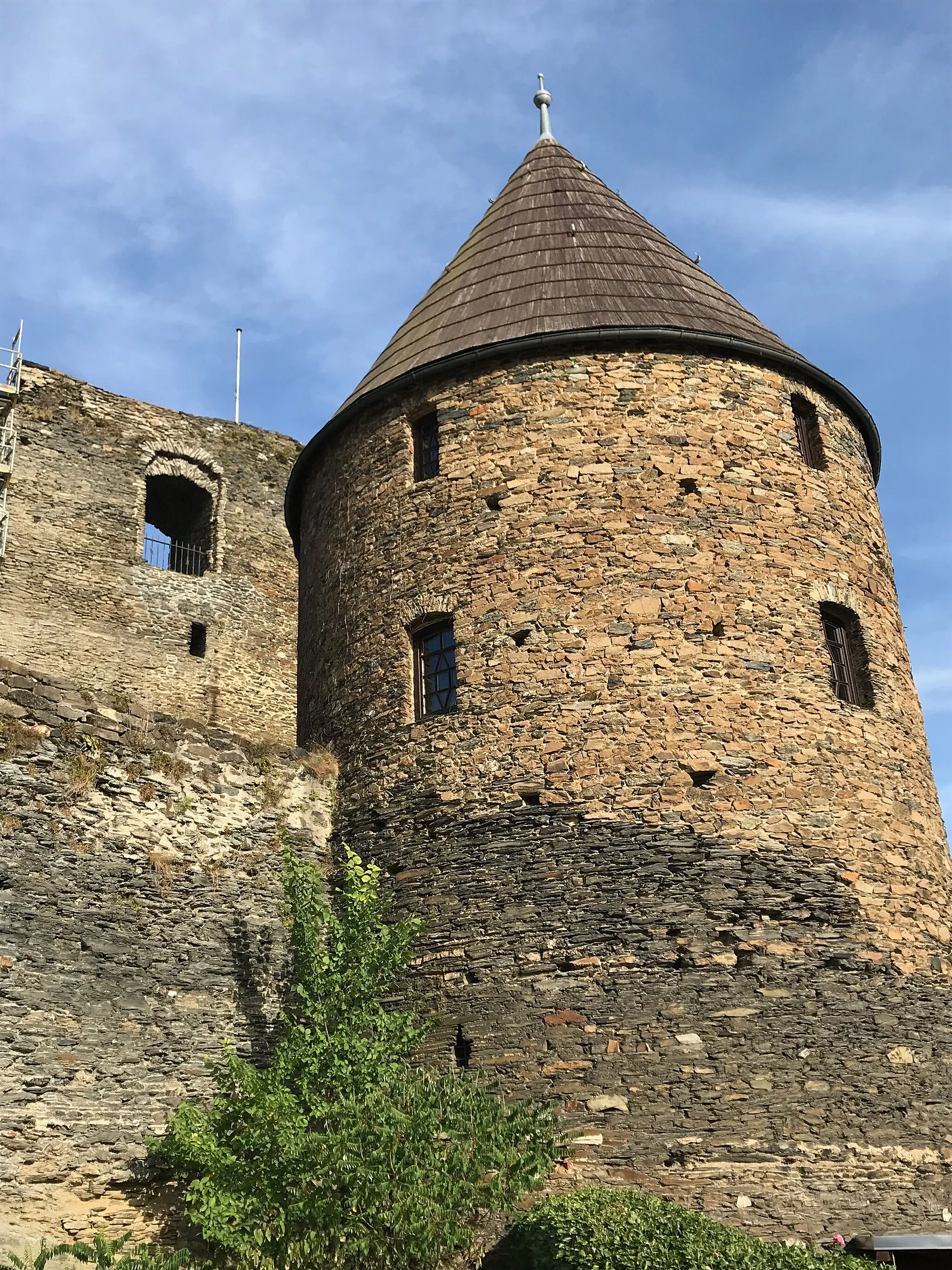
Start: Pausa City centerPausa: Varied terrains and challenging climbs, including Pöhlberg.
Pausa, situated in Chemnitz, Germany, is a great destination for road and gravel cyclists. The region offers a diverse range of terrains, including flat stretches, rolling hills, and challenging climbs. One of the notable cycling spots nearby is the Pöhlberg, a well-known climb that attracts cyclists seeking a tough ascent. Pausa itself provides a cycle-friendly environment with well-maintained roads and scenic routes. Cyclists can relish in the beauty of the surrounding landscapes and visit local attractions like the Pausenstein Castle. Overall, Pausa is a recommended locality for cyclists looking for varied terrains and challenging climbs.5 km
5 km
LeitlitzVillage25 km
25 km
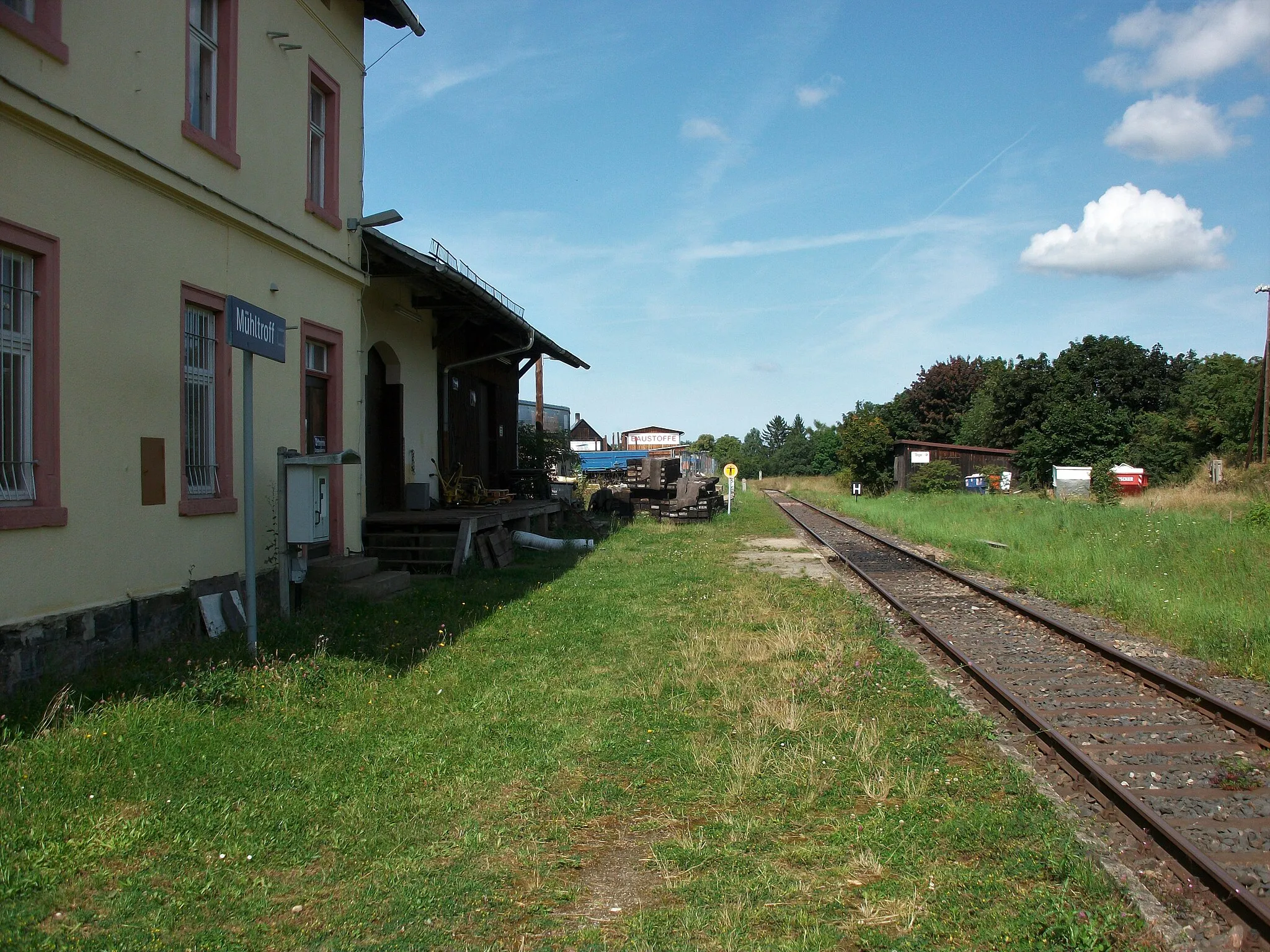
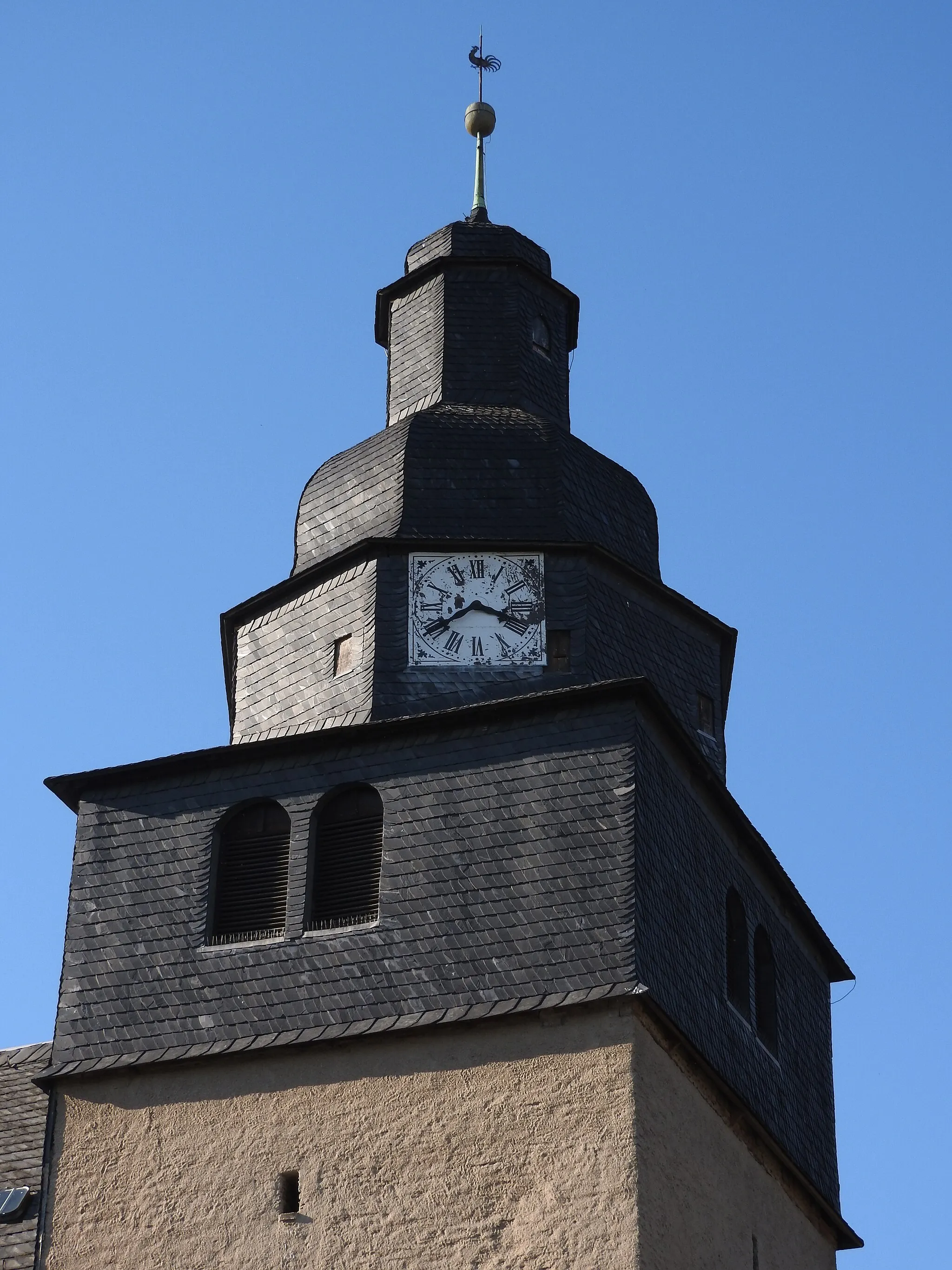
TriptisTownTriptis, at the 25-kilometer mark, is a charming town known for its historic castle.
29 km
29 km
Lerchenberg350 mPeakLerchenberg, at the 29-kilometer mark, offers stunning views of the surrounding countryside.
40 km
40 km
MünchenbernsdorfVillageMünchenbernsdorf, located at the 40-kilometer mark, is a small town with rich historical heritage.
43 km
43 km
Kienberg318 mPeakKienberg, at the 43-kilometer mark, is famous for its vineyards and wine production.
59 km
59 km
Zoitzberg285 mPeakZoitzberg, at the 59-kilometer mark, is a picturesque village surrounded by rolling hills.
65 km
65 km
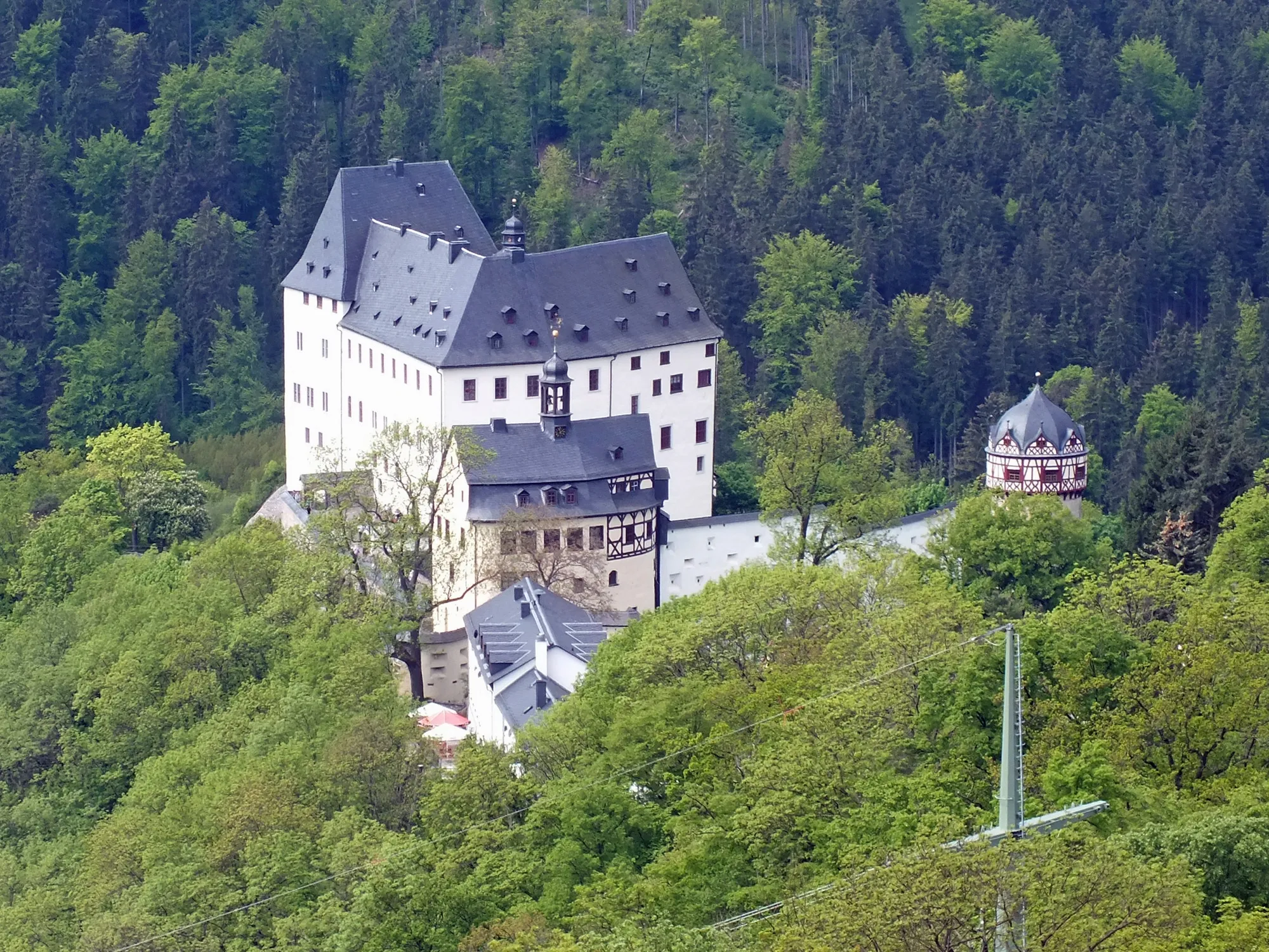
Schloss MildenfurthCastleSchloss Mildenfurth, at the 65-kilometer mark, is a stunning castle with beautiful gardens.
77 km
77 km
KühdorfVillage83 km
83 km
Pfarrberg393 mPeakPfarrberg, at the 83-kilometer mark, offers panoramic views of the surrounding countryside.
95 km
95 km
EbersgrünVillageEbersgrün, at the 95-kilometer mark, is a charming village known for its old-world charm.
97 km
97 km
Finish: Pausa City centerPausa: Varied terrains and challenging climbs, including Pöhlberg.
Cycling routes nearby: