Unter-Abtsteinach Gravel Adventure
A gravel cycling route starting from Unter-Abtsteinach
Unleash your spirit of exploration on this thrilling gravel adventure near Unter-Abtsteinach.
Map
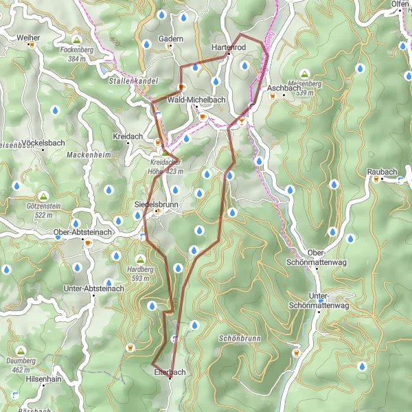
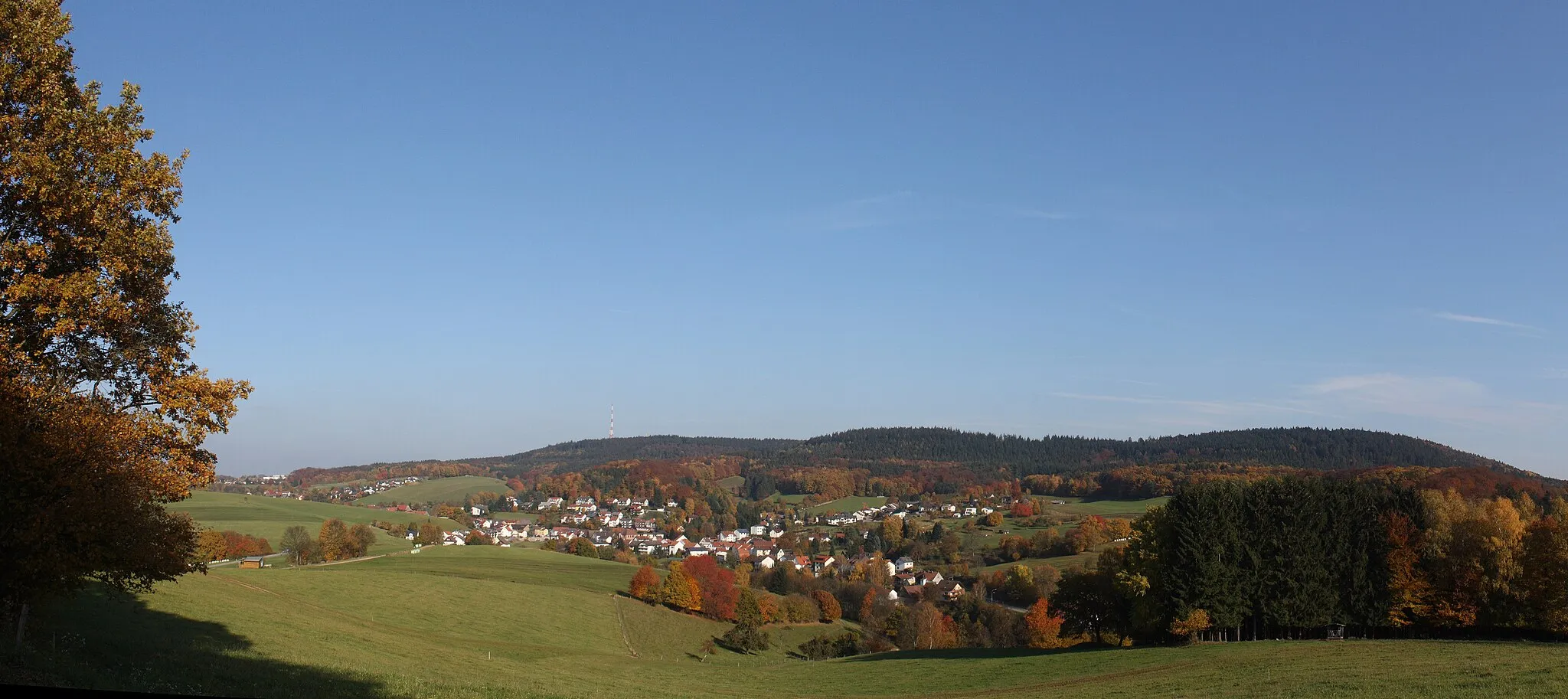
Rev up your gravel bike for a 23 km adrenaline-pumping adventure through the rugged terrain near Unter-Abtsteinach. As you navigate challenging gravel paths and conquer enticing descents, this route offers a unique cycling experience. With a modest ascent of 608 meters and a difficulty rating of 3, it provides an exciting getaway for gravel enthusiasts. Highlights include the picturesque Stillfüssel, the historic town of Wald-Michelbach, and the scenic views from Stiefelhöhe. Uncover hidden gems on this off-road journey tinged with a spirit of exploration.
gravel
23 km
608 m
Tough
Route profile
Highlights on the route
0 km
0 km
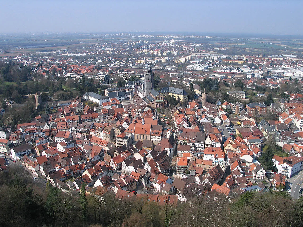
Start: Eiterbach Village centerUnter-Abtsteinach: Diverse Cycling Experience in Tranquil Unter-Abtsteinach, Germany
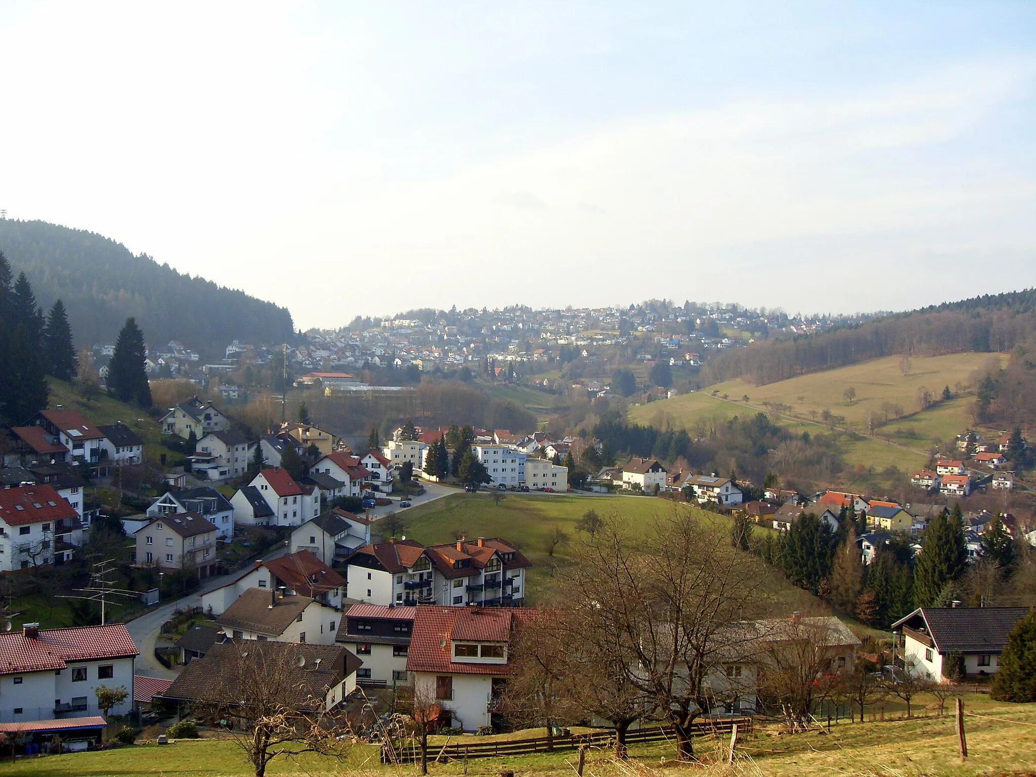
Unter-Abtsteinach in Darmstadt, Germany, is a locality with diverse cycling opportunities for riders of all levels. The region offers a mix of flat and hilly routes, allowing cyclists to choose their preferred terrain. Unter-Abtsteinach provides picturesque landscapes, small villages, and tranquil forest areas that are perfect for both road and gravel cycling. While not known for any famous cycling spots or specific climbs, the town offers a peaceful and enjoyable cycling experience. With its varied scenery and well-connected roads, Unter-Abtsteinach is a great destination for discovering the beauty of the Darmstadt region.3 km
3 km
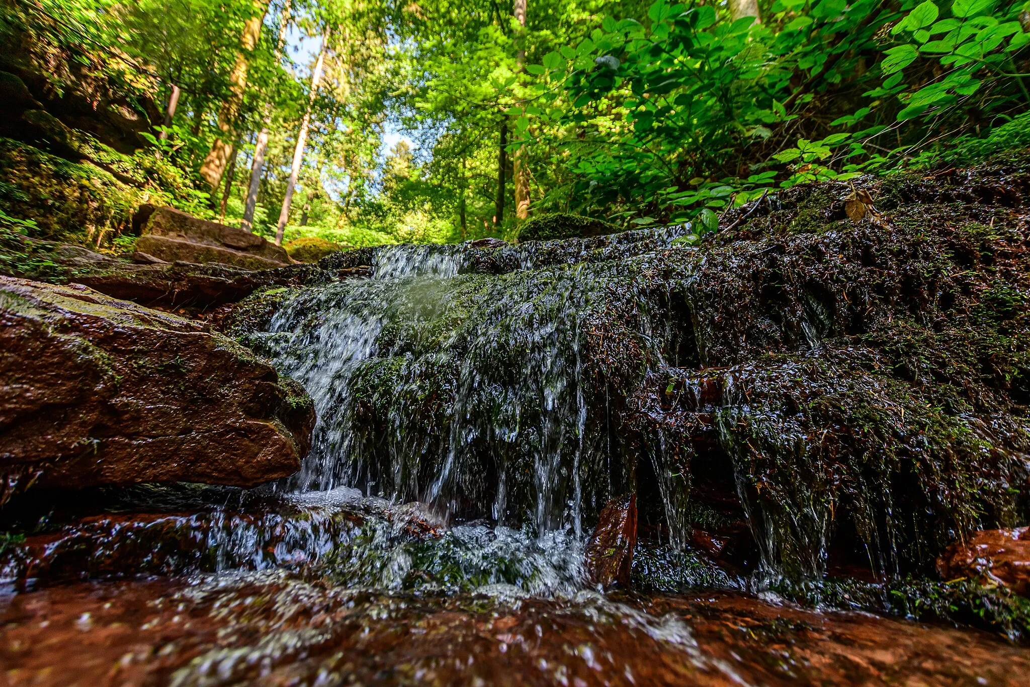
Stillfüssel568 mPeakStillfüssel, at the 3-kilometer mark, rests amidst verdant forests and offers a serene getaway from urban life.
12 km
12 km
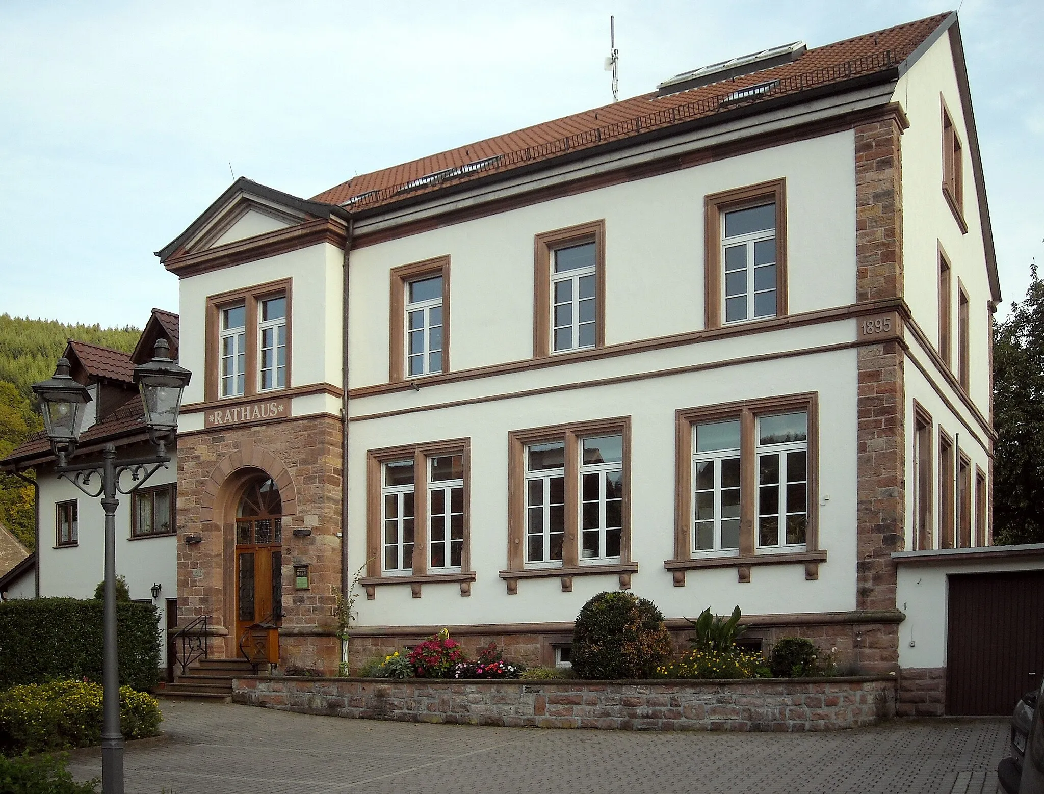
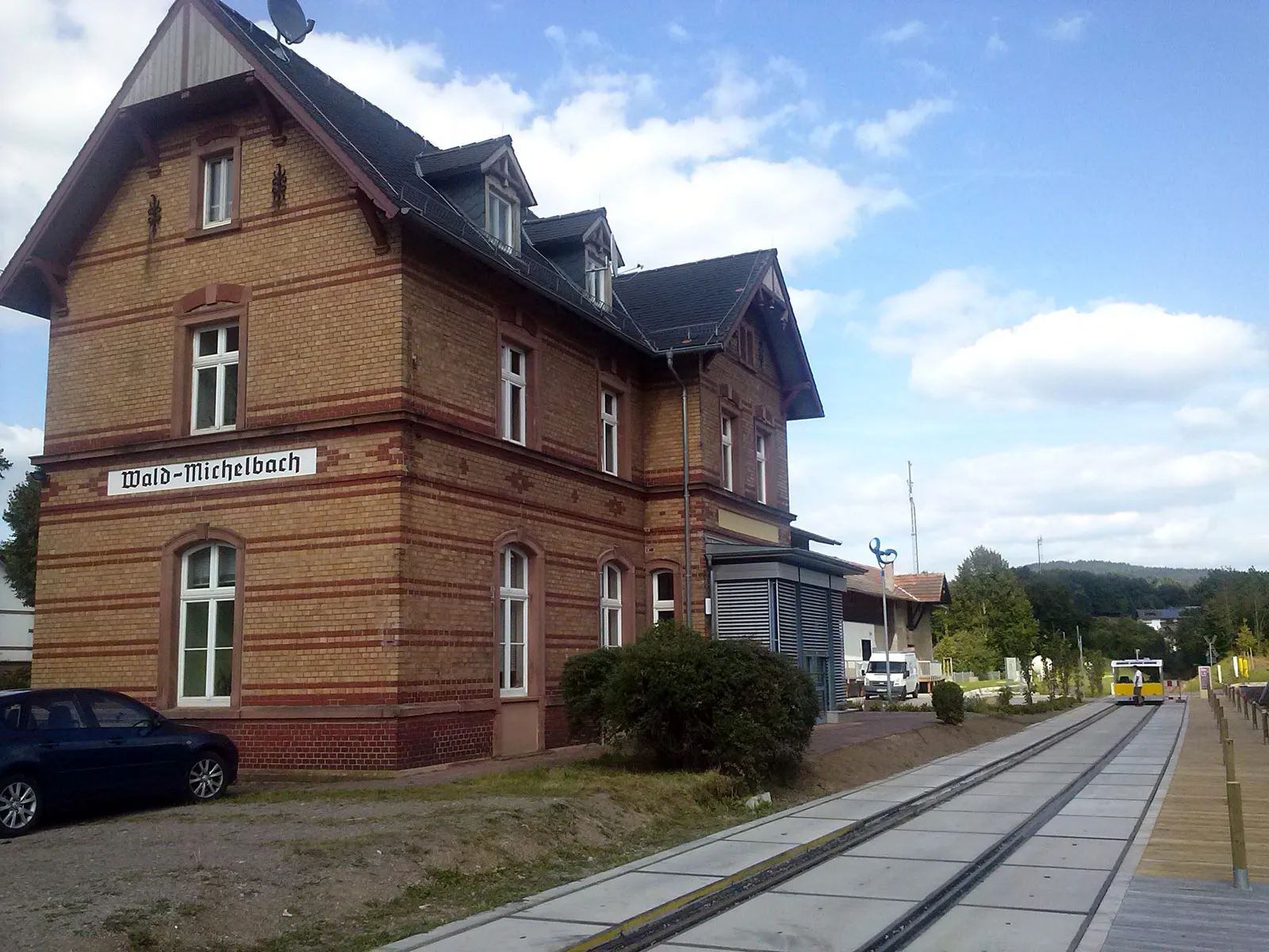
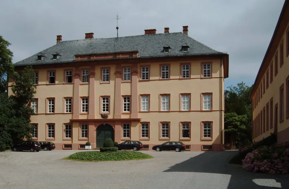
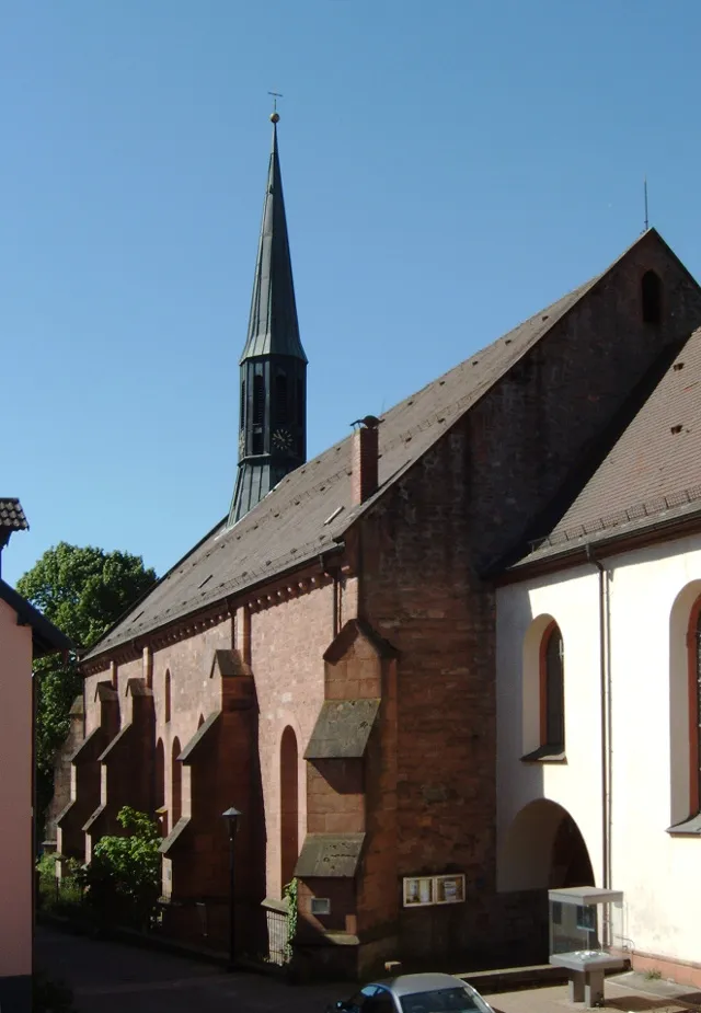
Wald-MichelbachVillageWald-Michelbach, located at the 12-kilometer mark, invites you to explore its picturesque streets and discover hidden local cafés.
21 km
21 km
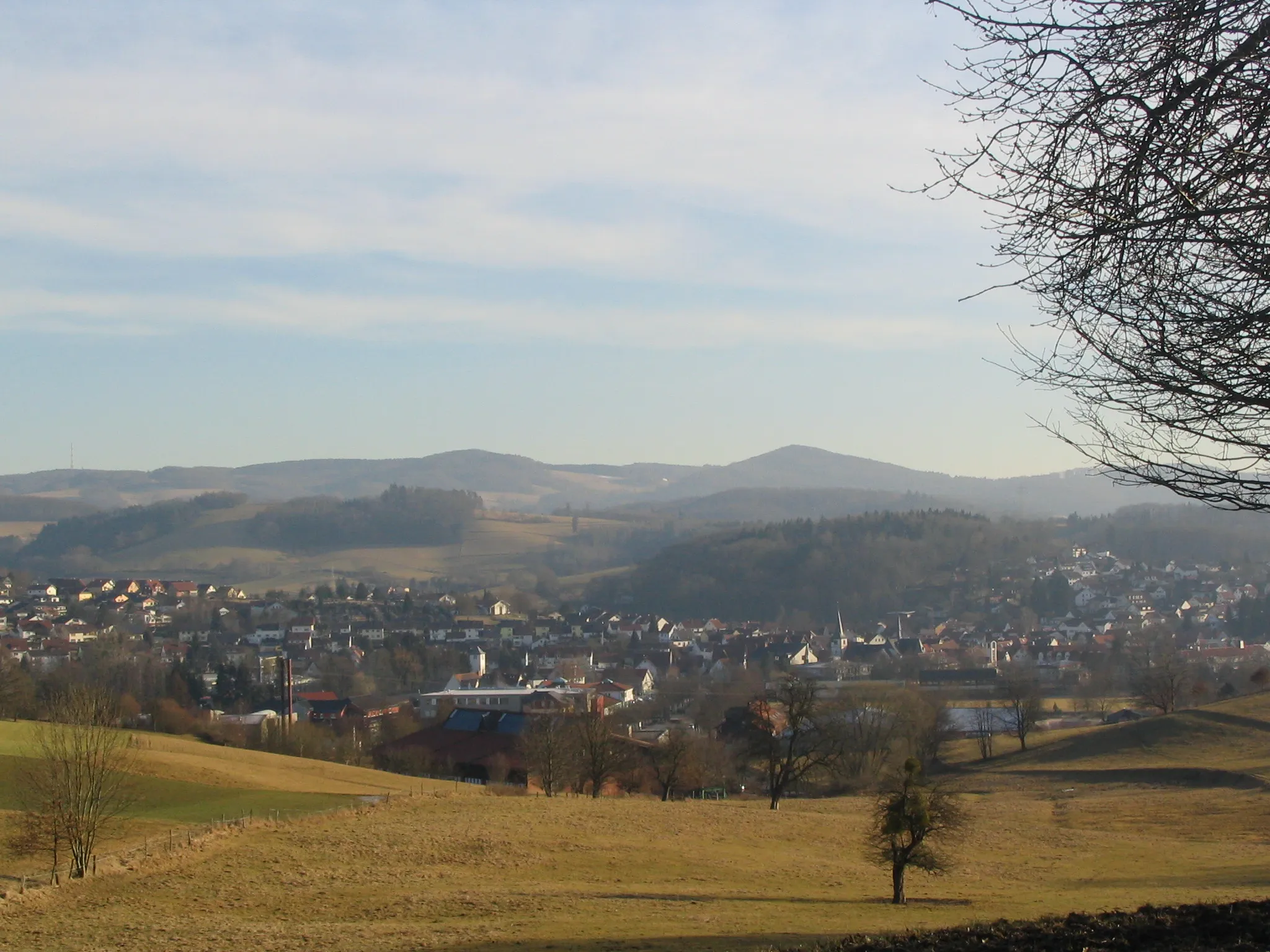
Stiefelhöhe589 mPeakStiefelhöhe, at 21 kilometers into the route, treats you to breathtaking panoramic views of the surrounding unspoiled landscape.
23 km
23 km
Finish: Eiterbach Village centerUnter-Abtsteinach: Diverse Cycling Experience in Tranquil Unter-Abtsteinach, Germany
Cycling routes nearby: