Darmstadt Hills Odyssey
A road cycling route starting from Unter-Abtsteinach
Embark on a legendary cycling journey through the hills surrounding Darmstadt.
Map
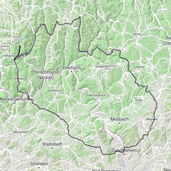
Set off on a challenging 146 km adventure into the scenic hills near Unter-Abtsteinach. This road cycling route is designed for experienced riders with an ascent of 2424 meters. Enjoy the exhilaration of conquering unforgettable climbs and take in the beauty of nature as you pass through charming villages along the way. Highlights include the historic town of Unter-Schönmattenwag, the stunning vistas from Lannertskopf, and the picturesque Beerfelden. With a difficulty rating of 5 and an epicness score of 4, this route promises an unforgettable cycling experience.
road
146 km
2424 m
Savage
Route profile
Highlights on the route
0 km
0 km
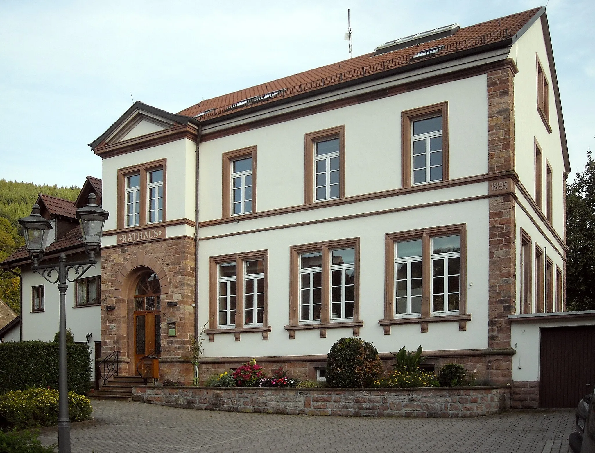
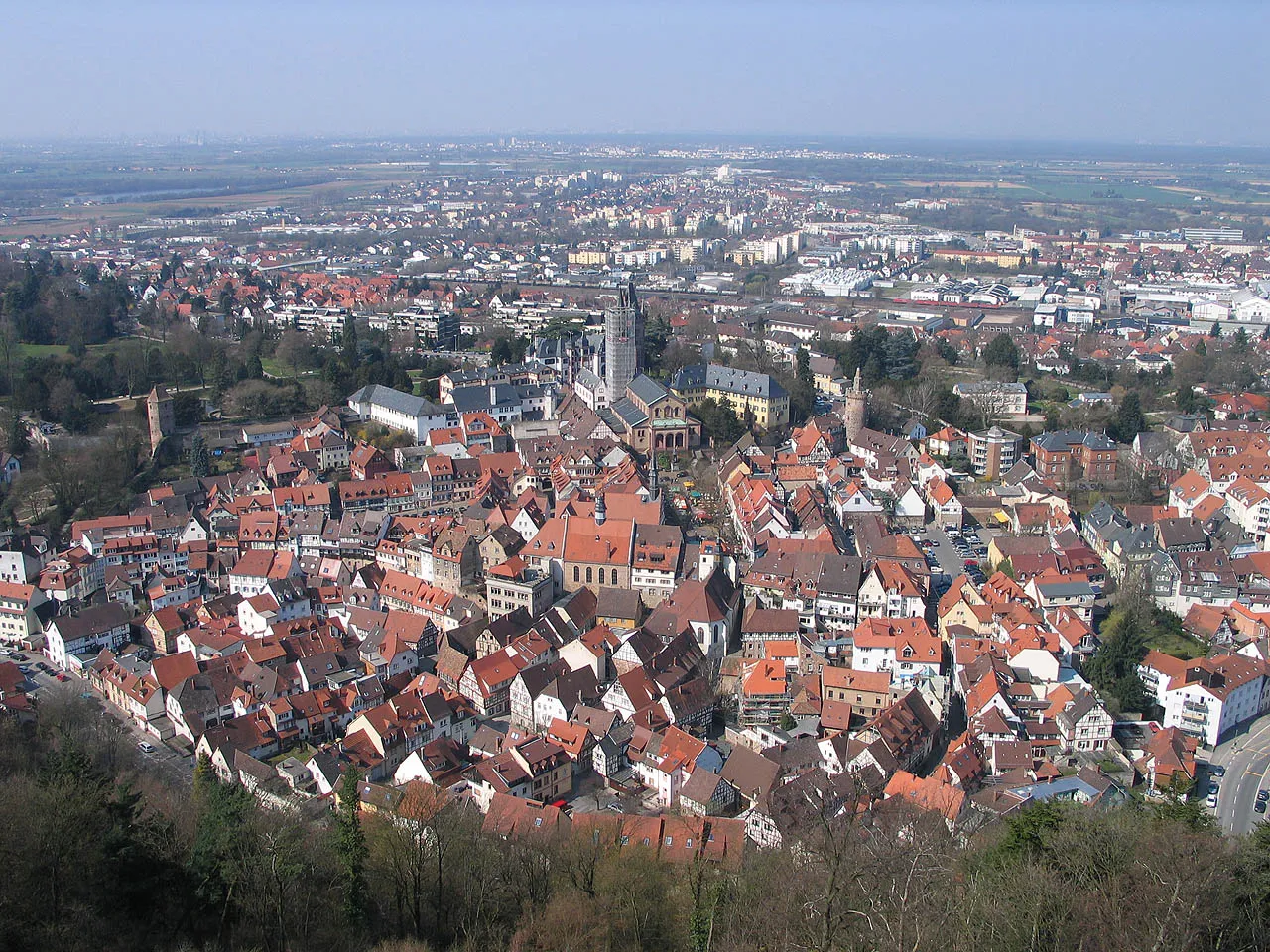
Start: Eiterbach Village centerUnter-Abtsteinach: Diverse Cycling Experience in Tranquil Unter-Abtsteinach, Germany
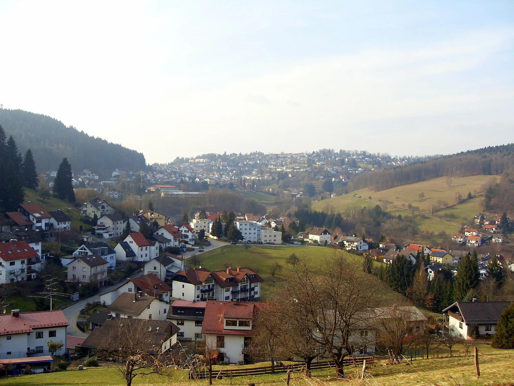
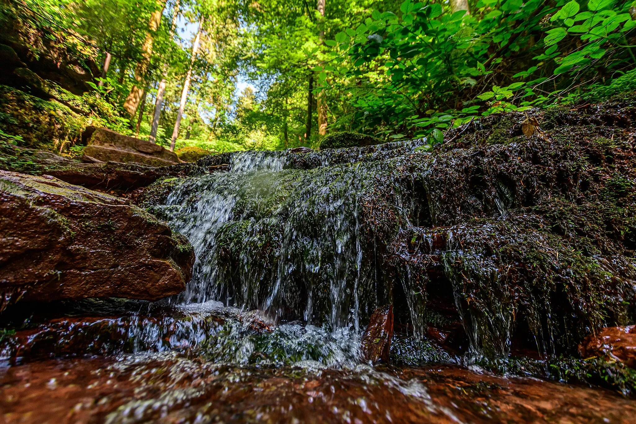
Unter-Abtsteinach in Darmstadt, Germany, is a locality with diverse cycling opportunities for riders of all levels. The region offers a mix of flat and hilly routes, allowing cyclists to choose their preferred terrain. Unter-Abtsteinach provides picturesque landscapes, small villages, and tranquil forest areas that are perfect for both road and gravel cycling. While not known for any famous cycling spots or specific climbs, the town offers a peaceful and enjoyable cycling experience. With its varied scenery and well-connected roads, Unter-Abtsteinach is a great destination for discovering the beauty of the Darmstadt region.14 km
14 km
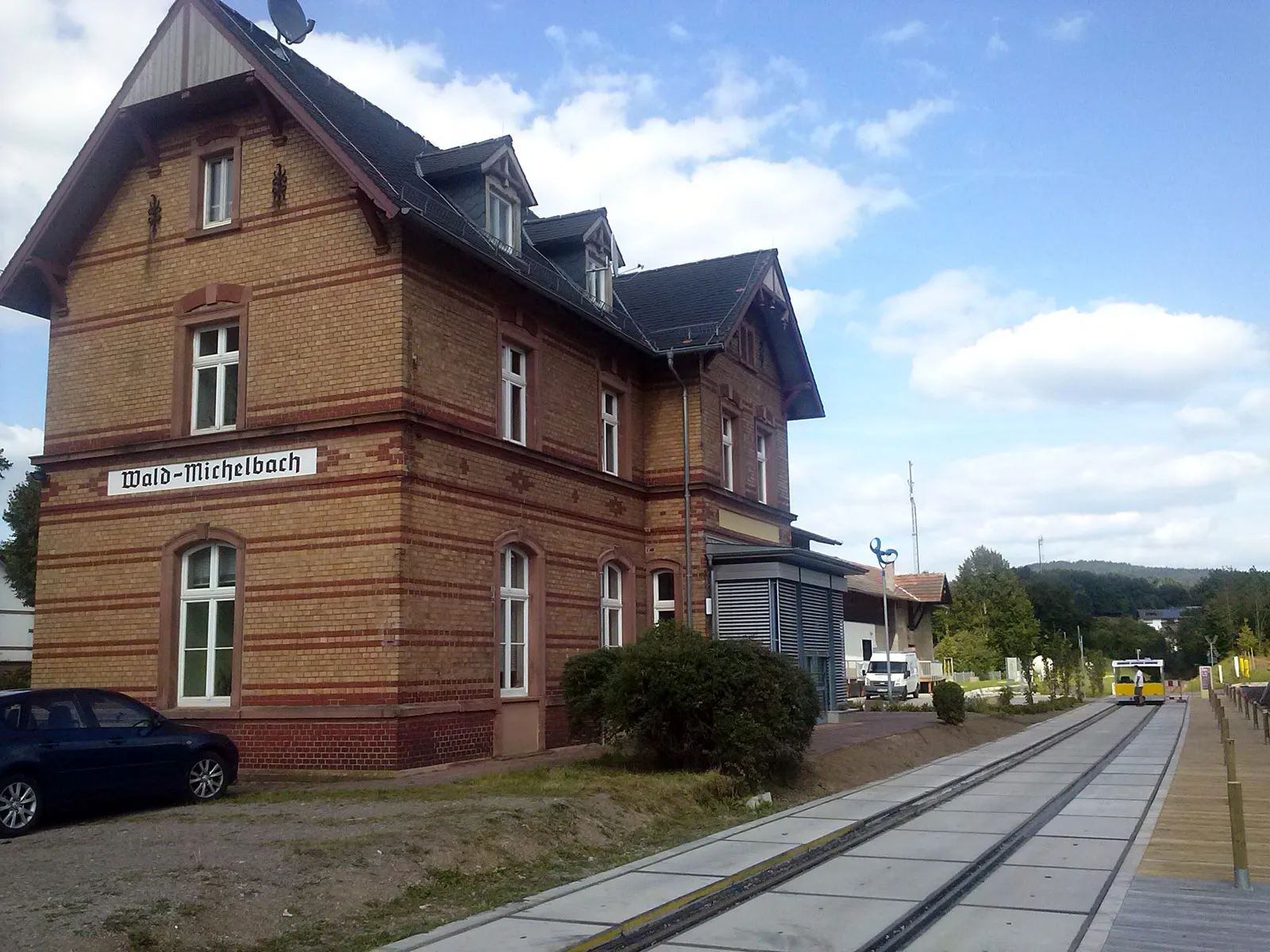
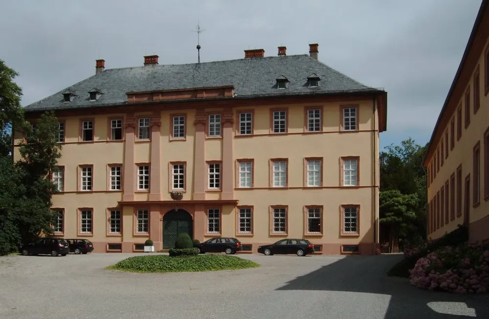
Unter-SchönmattenwagVillageUnter-Schönmattenwag, 14 kilometers into the route, showcases a blend of historical architecture and cultural charm.
16 km
16 km
Lannertskopf472 mPeakAt the 16-kilometer mark, prepare to be mesmerized by the panoramic views from Lannertskopf, offering vistas that stretch for miles.
30 km
30 km
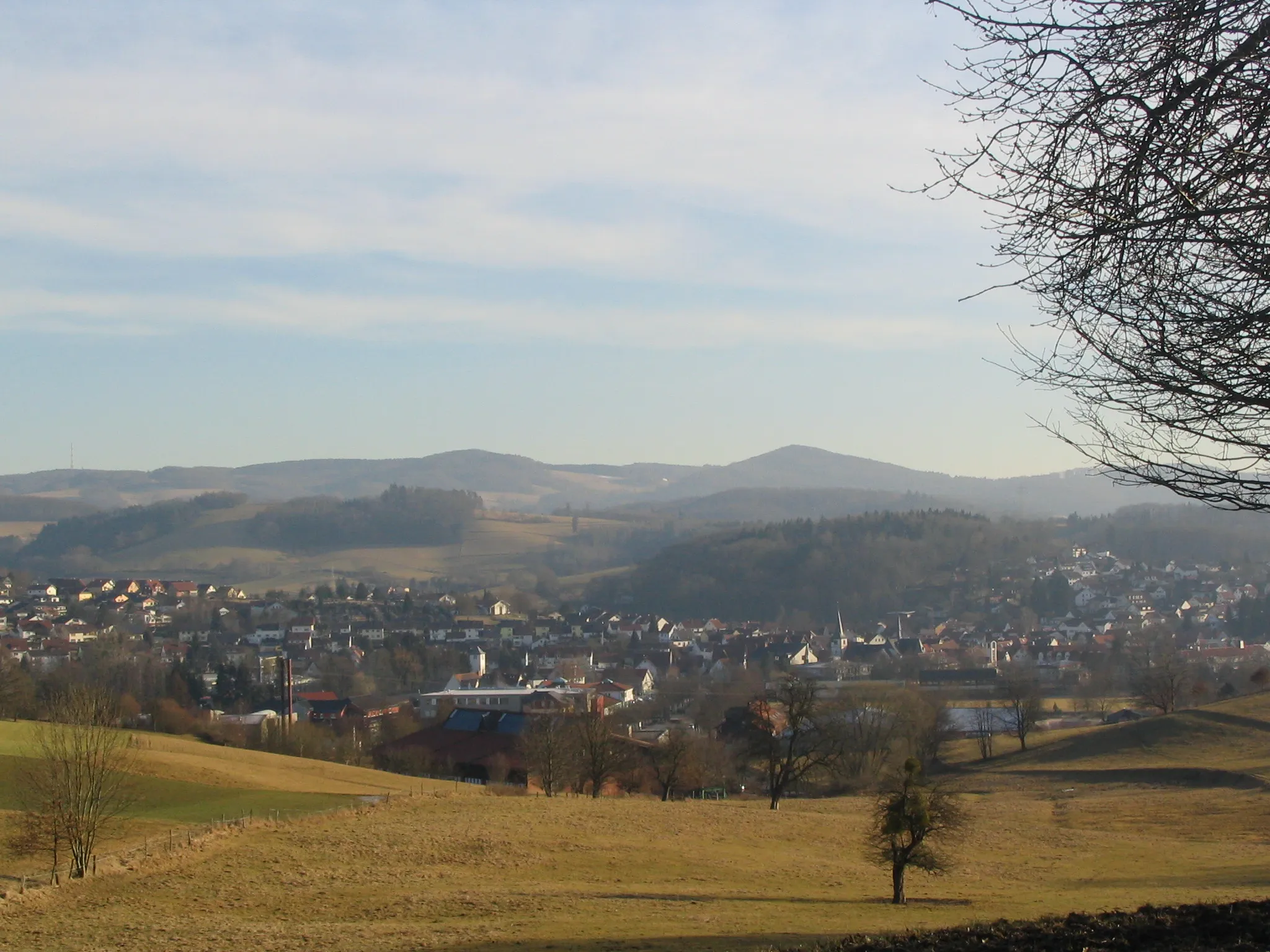
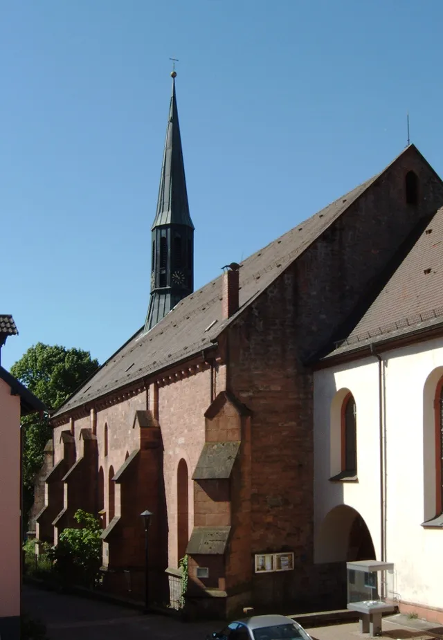
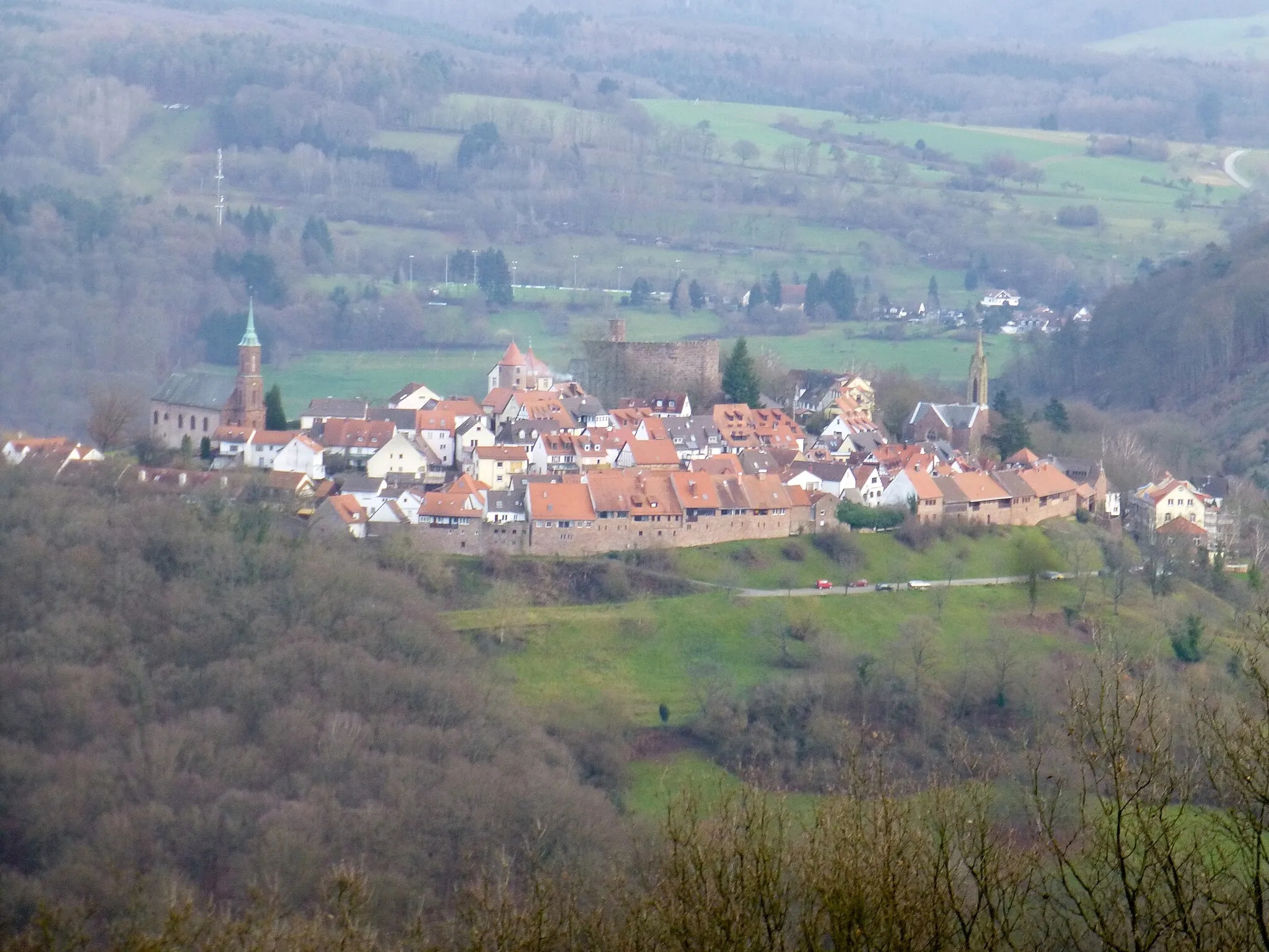
BeerfeldenVillageBeerfelden, located 30 kilometers into the route, is a quaint village renowned for its traditional half-timbered houses.
34 km
34 km
Elseberg518 mPeakMarvel at the natural beauty as you pass through Elseberg at the 34-kilometer mark, known for its idyllic meadows and peaceful atmosphere.
55 km
55 km
Hart580 mPeak‘Hart’, named after the old olfactory industries, boasts crumbling factory ruins that hint at the region’s industrial past.
56 km
56 km
ReisenbachVillageAt the 56-kilometer mark, take a moment to explore the picturesque village of Reisenbach.
78 km
78 km
UnterschefflenzVillageUnterschefflenz, situated at the 78-kilometer mark, invites you to journey through its historical streets and visit its quaint cafés.
93 km
93 km
Schrammbuckel291 mPeakSchrammbuckel, at 93 kilometers into the route, offers stunning views of the surrounding unspoiled countryside.
96 km
96 km
GundelsheimTownGundelsheim, located 96 kilometers into the route, is home to an impressive castle perched on the Neckar River.
119 km
119 km
ReichartshausenVillageReichartshausen, at 119 kilometers into the route, is renowned for its historic architecture and charming medieval atmosphere.
131 km
131 km
NeckarsteinachVillageThe picturesque town of Neckarsteinach, situated at the 131-kilometer mark, is famous for its four stunning castles.
133 km
133 km
Ochsenkopf416 mPeakOchsenkopf, at 133 kilometers into the route, offers magnificent viewpoints overlooking the scenic countryside.
146 km
146 km
Finish: Eiterbach Village centerUnter-Abtsteinach: Diverse Cycling Experience in Tranquil Unter-Abtsteinach, Germany
Cycling routes nearby: