Gravel Adventure
A gravel cycling route starting from Unter-Abtsteinach
Embark on a thrilling gravel adventure through scenic landscapes
Map
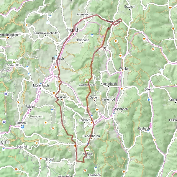
This round-trip gravel cycling route around Unter-Abtsteinach is perfect for those seeking an adventurous off-road experience. With a total ascent of 947 meters and a distance of 45 kilometers, this route provides a moderate challenge for experienced gravel cyclists. Highlights along the way include Stiefelhöhe, Siedelsbrunn, Wagenberg, Hammelbach, Lerchenberg, Rimbach, Vöckelsbach, and Götzenstein.
gravel
45 km
947 m
Tough
Route profile
Highlights on the route
0 km
0 km
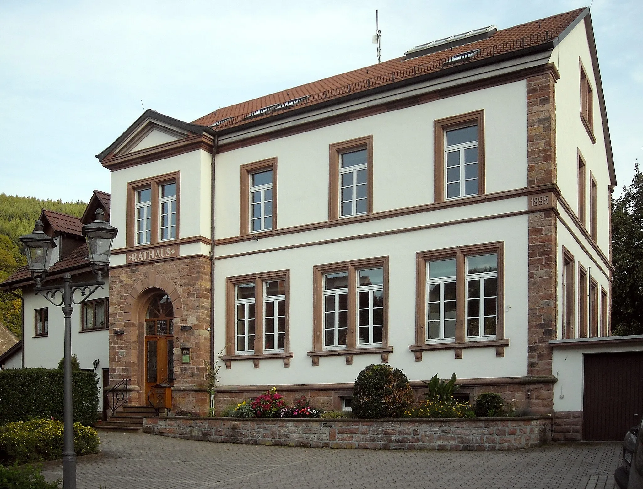
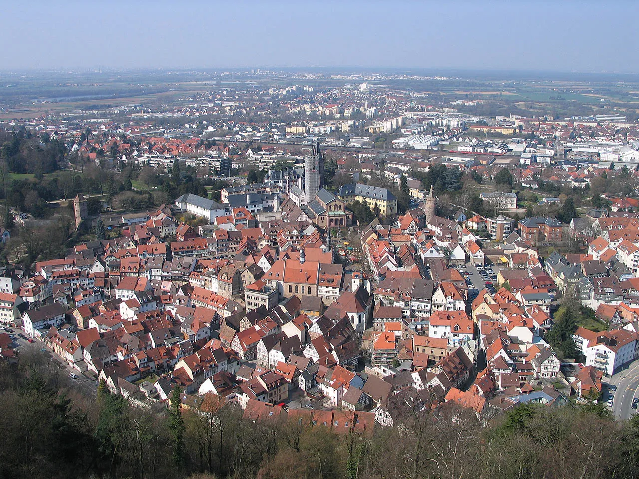
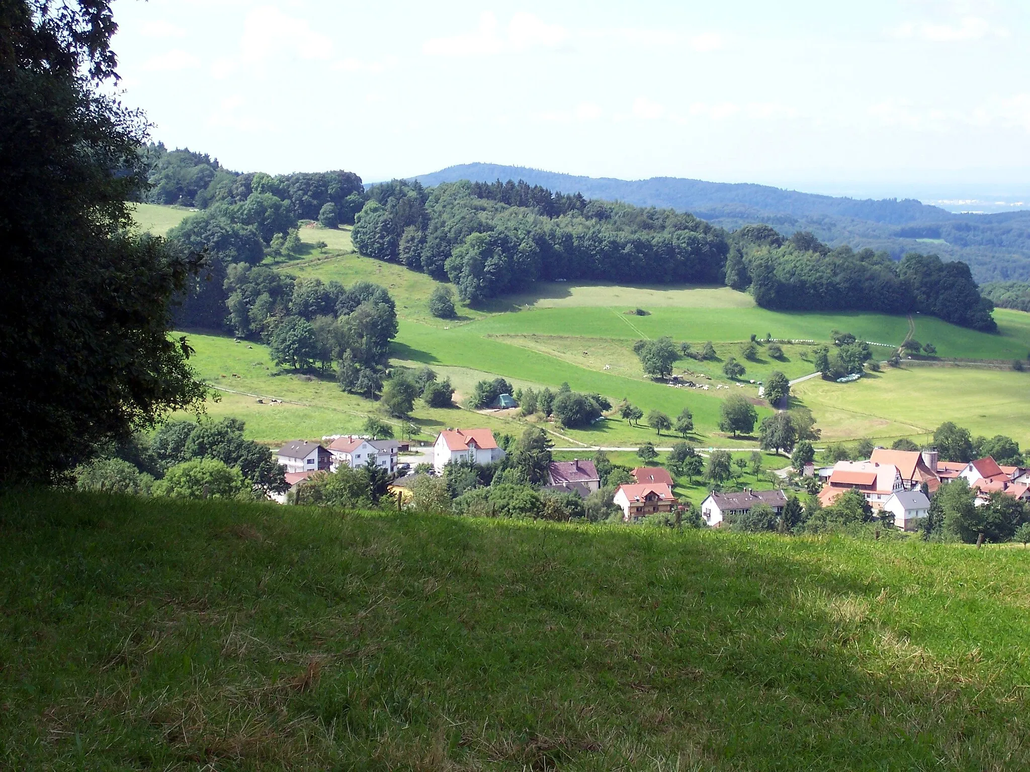
Start: Unter-Abtsteinach Village centerUnter-Abtsteinach: Diverse Cycling Experience in Tranquil Unter-Abtsteinach, Germany
Unter-Abtsteinach in Darmstadt, Germany, is a locality with diverse cycling opportunities for riders of all levels. The region offers a mix of flat and hilly routes, allowing cyclists to choose their preferred terrain. Unter-Abtsteinach provides picturesque landscapes, small villages, and tranquil forest areas that are perfect for both road and gravel cycling. While not known for any famous cycling spots or specific climbs, the town offers a peaceful and enjoyable cycling experience. With its varied scenery and well-connected roads, Unter-Abtsteinach is a great destination for discovering the beauty of the Darmstadt region.1 km
1 km
Stiefelhöhe589 mPeakStiefelhöhe offers an exciting uphill section that rewards with incredible views of the surrounding valleys.
4 km
4 km
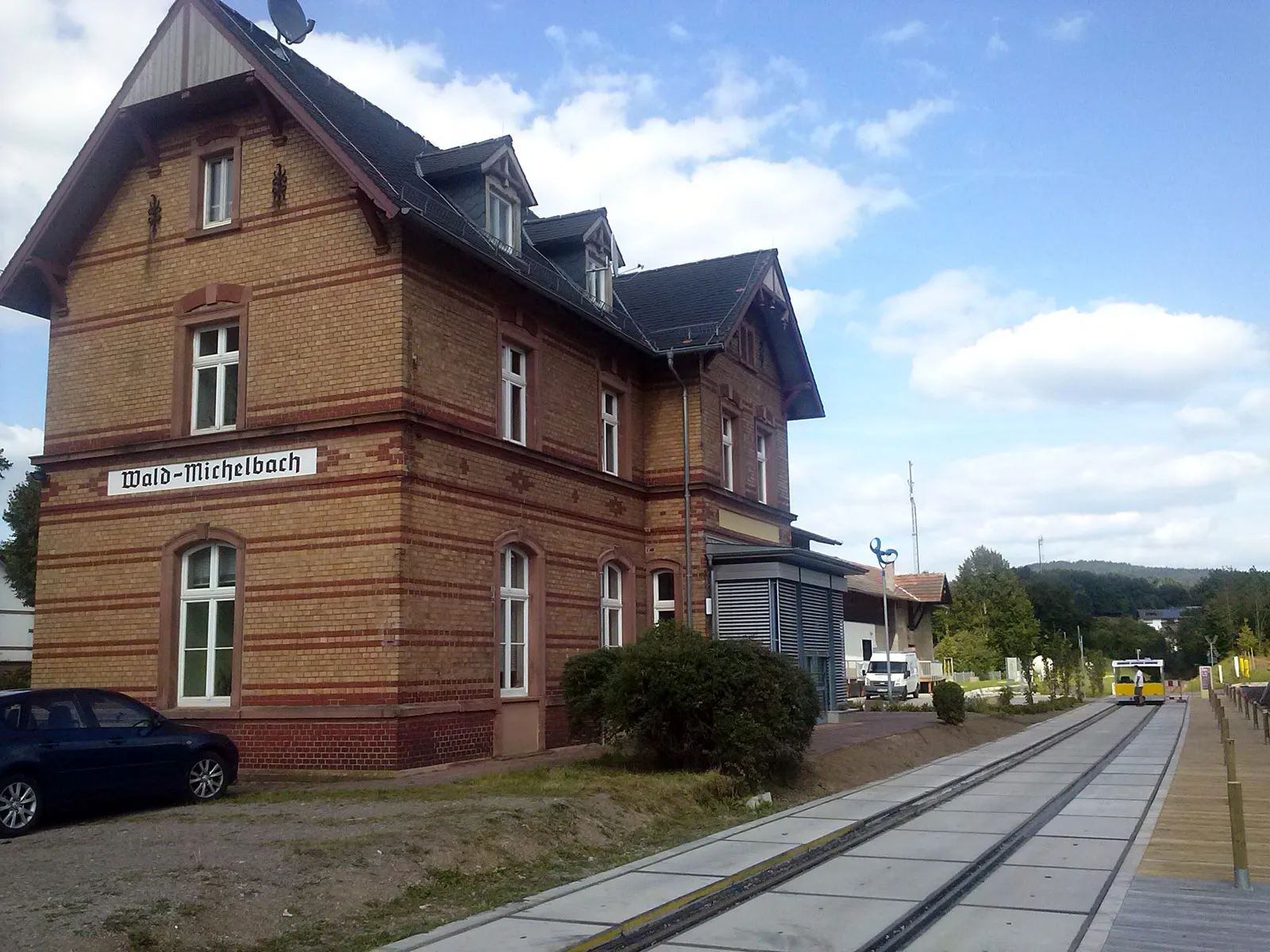
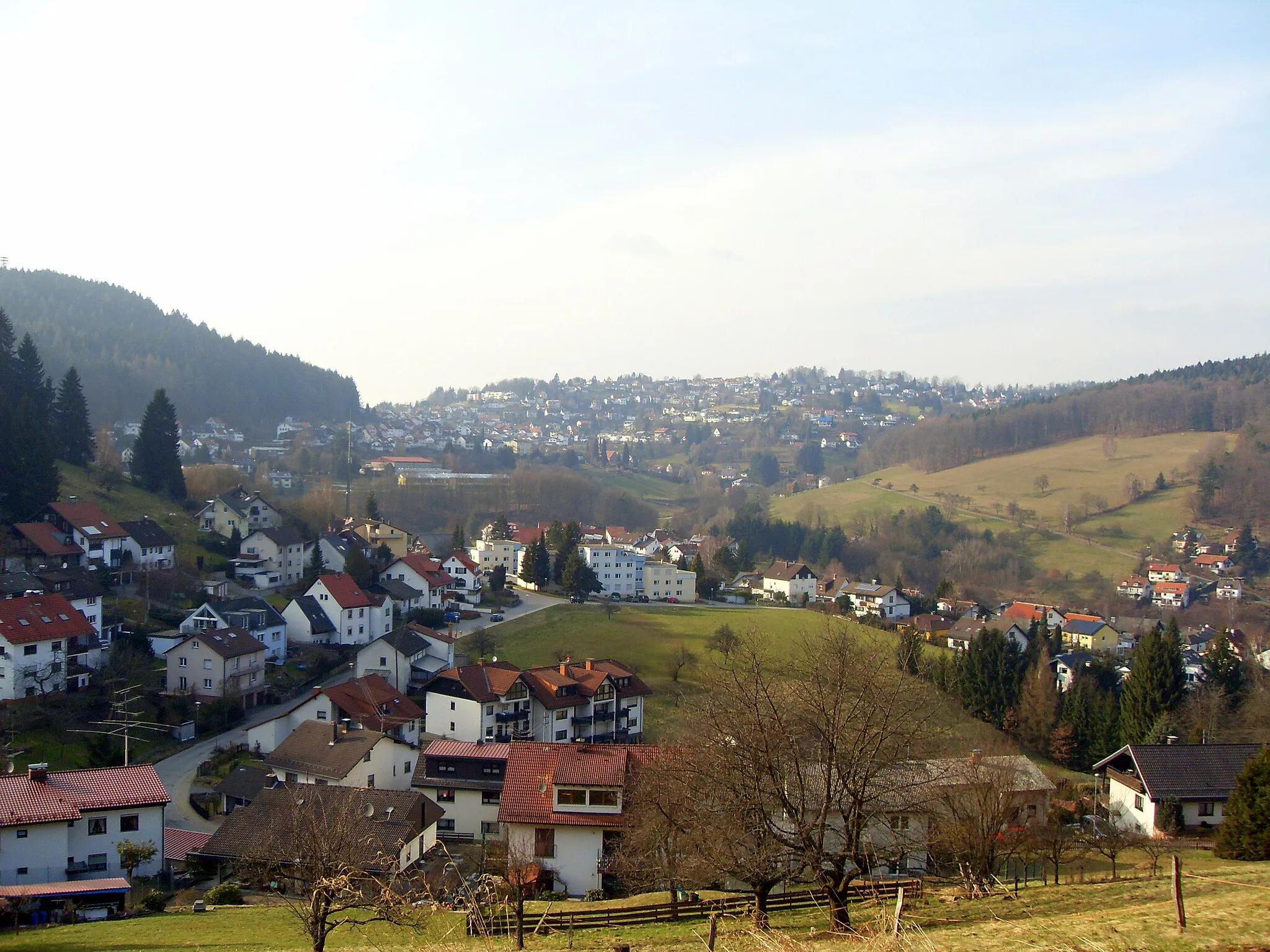
SiedelsbrunnVillageStop by Siedelsbrunn and explore the charming village surrounded by dense forests and scenic hiking trails.
14 km
14 km
Wagenberg533 mPeakWagenberg is a popular spot for paragliding enthusiasts, providing breathtaking aerial views of the region.
16 km
16 km
HammelbachVillageHammelbach is known for its picturesque vineyards and invites you to taste the locally produced wines.
30 km
30 km
Lerchenberg226 mPeakLerchenberg offers beautiful panoramic views of the surrounding nature reserves and quiet meadows.
31 km
31 km
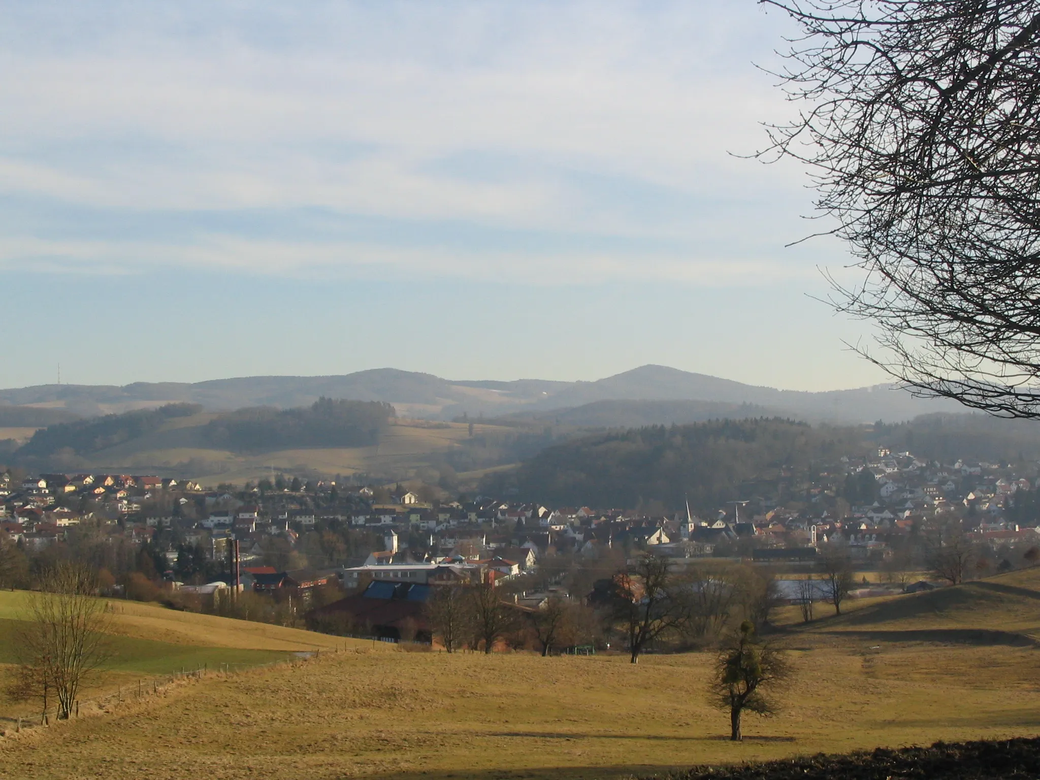
RimbachVillageRimbach's charming town center is perfect for a relaxing break and grabbing a bite to eat at one of the cozy cafes.
40 km
40 km
VöckelsbachVillageCycling through Vöckelsbach allows you to admire the stunning landscapes of the Odenwald region.
41 km
41 km
Götzenstein522 mPeakDon't miss Götzenstein, a unique rock formation nestled amidst dense forests, offering a peaceful and mystical atmosphere.
45 km
45 km
Finish: Unter-Abtsteinach Village centerUnter-Abtsteinach: Diverse Cycling Experience in Tranquil Unter-Abtsteinach, Germany
Cycling routes nearby: