Hohe Hölle and Rhön Region Margravial Stone - Road Cycling Route
A road cycling route starting from Gersfeld
Experience the challenge and beauty of the Hohe Hölle climb and explore the picturesque Rhön region on this road cycling route.
Map
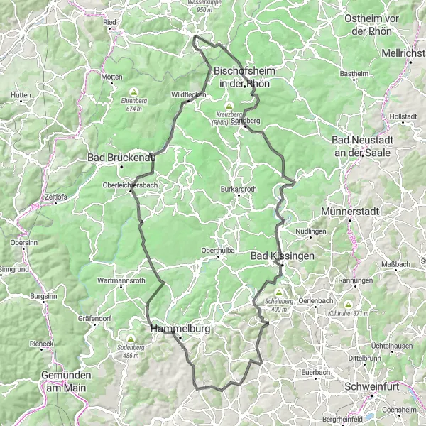
This road cycling route near Gersfeld takes you through diverse landscapes and charming towns in the Rhön region. With a total ascent of 2,090 meters and a distance of 132 kilometers, it offers a challenging yet rewarding experience for well-trained amateur cyclists. The highlight of the route is the ascent of Hohe Hölle, known for its steep slopes and stunning views. Along the way, you'll also pass through Bischofsheim in der Rhön, Tannenkopf, Bad Bocklet, Bad Kissingen, Balustrade, Brachberg, Wasserlosen, Hammelburg, Büchelberg, Oberleichtersbach, Riedenberg, and Simmelsberg.
road
132 km
2090 m
Tough
Route profile
Highlights on the route
0 km
0 km
Start: Gersfeld Village centerGersfeld: Conquer the famous Wasserkuppe Mountain in Gersfeld
Gersfeld, nestled in Kassel, Germany, is a beloved destination for both road and gravel cyclists. The region offers an array of cycling routes, catering to all skill levels. Gersfeld is particularly renowned for its well-known climb, Wasserkuppe Mountain, which attracts cyclists from all over the world. The challenging ascent to Wasserkuppe rewards cyclists with breathtaking views of the Rhön Biosphere Reserve. With its cycling culture and awe-inspiring landscapes, Gersfeld is a must-visit for avid cyclists seeking a thrilling and memorable biking experience.4 km
4 km
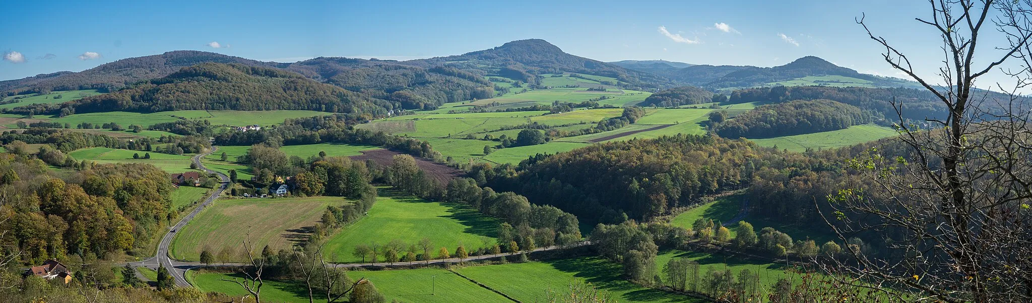
Hohe Hölle894 mPeakHohe Hölle is a challenging climb with breathtaking panoramic views of the Rhön region.
9 km
9 km
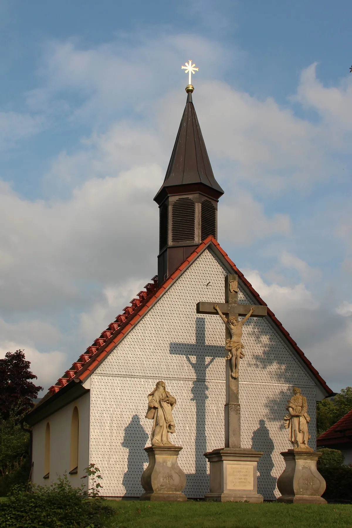
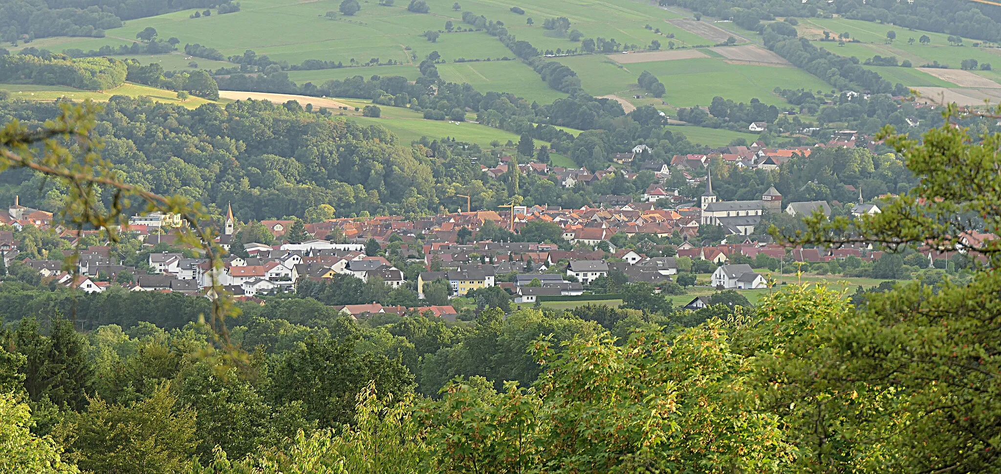
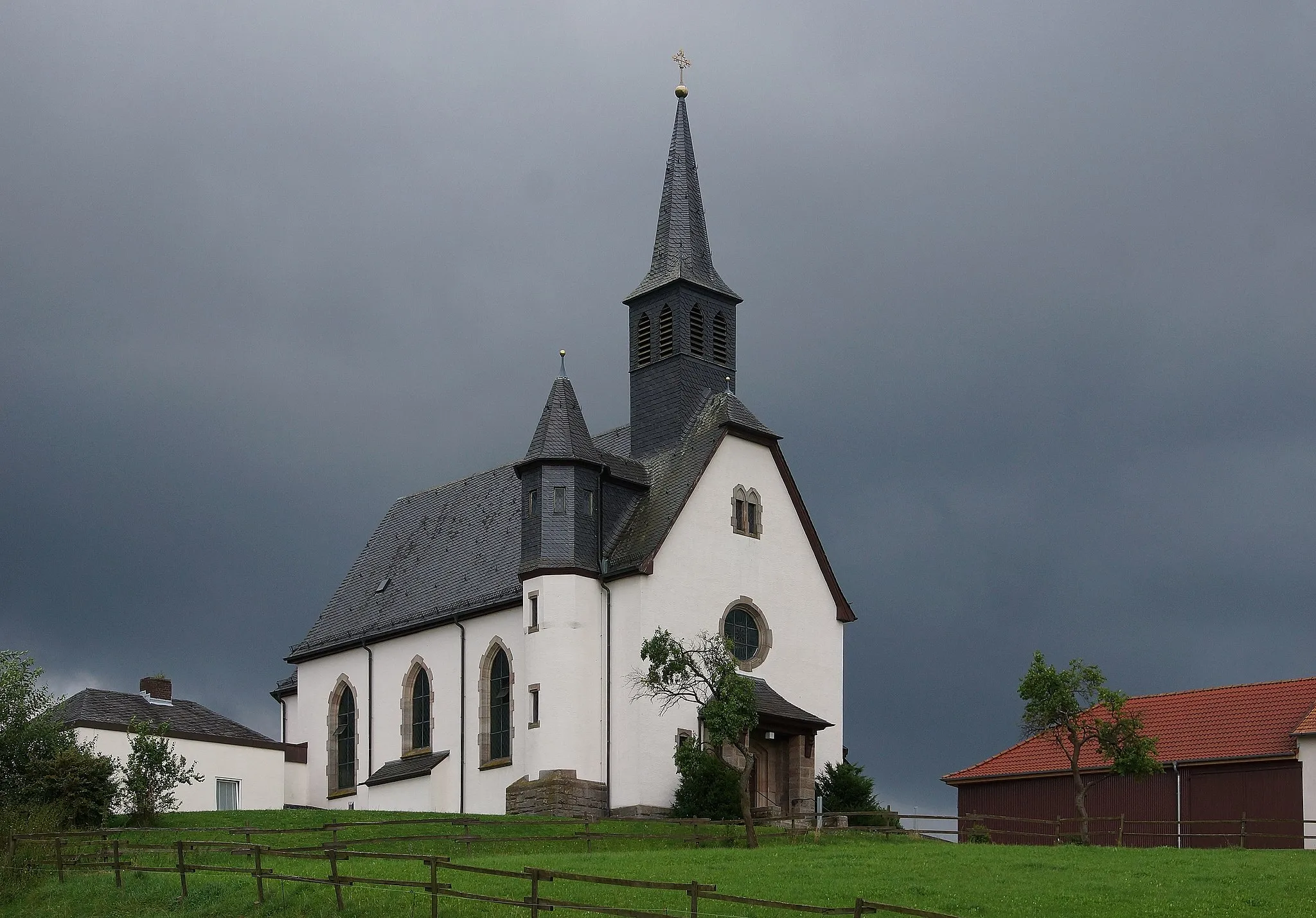
Bischofsheim in der RhönTownBischofsheim in der Rhön is a picturesque town with historic buildings and a lively cycling culture.
21 km
21 km
Tannenkopf461 mPeakTannenkopf offers a scenic viewpoint overlooking the surrounding Rhön landscape.
33 km
33 km
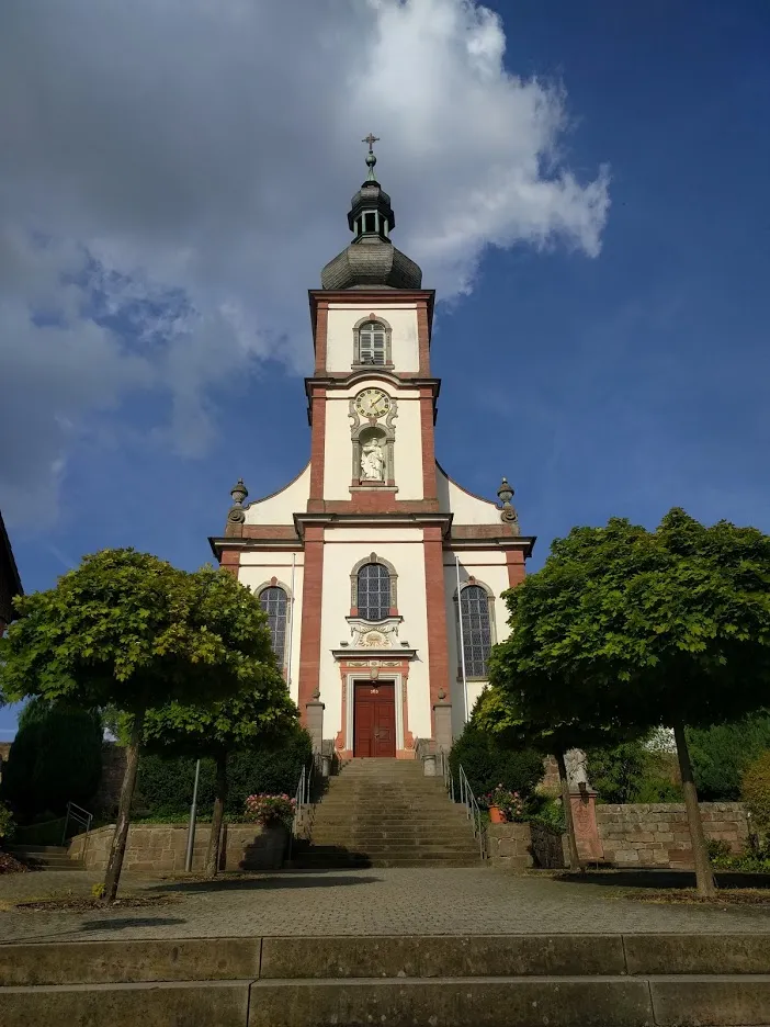
Bad BockletVillageBad Bocklet is a charming spa town known for its thermal baths and beautiful parks.
42 km
42 km
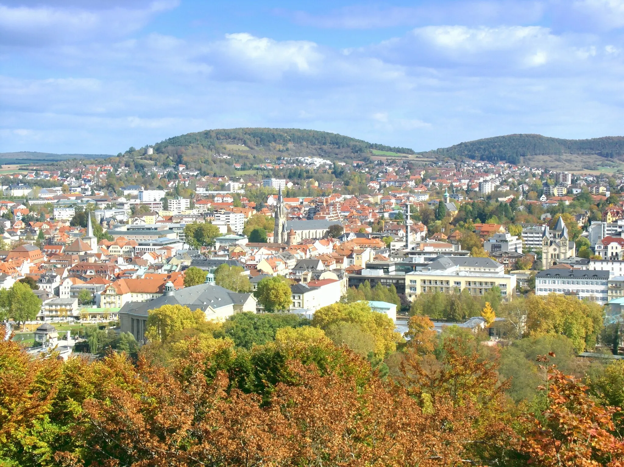
Bad KissingenTownBad Kissingen is a popular spa and wellness destination with historical architecture.
42 km
42 km
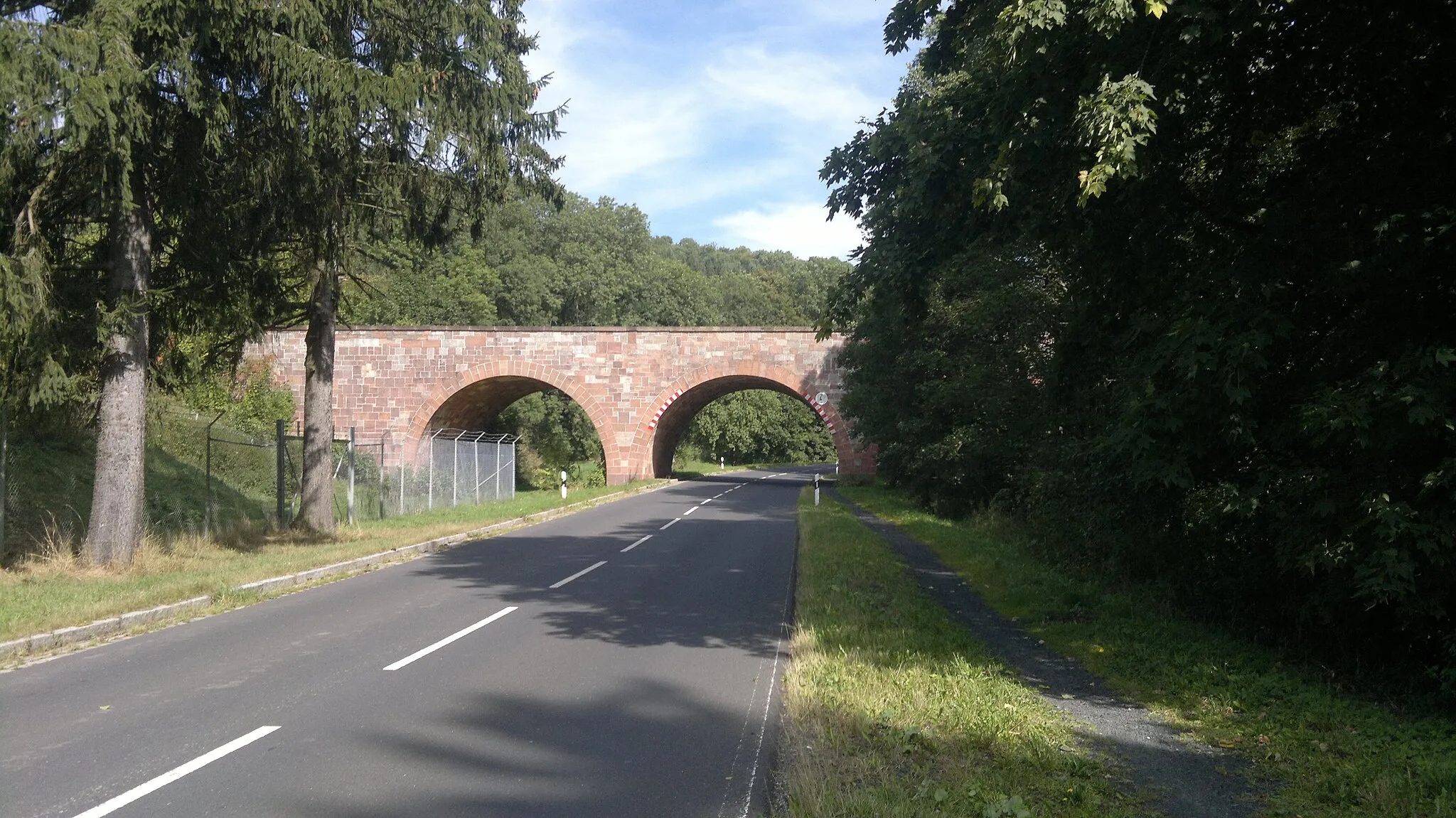
BalustradeViewpointBalustrade is a historic bridge with stunning views of the river and surrounding nature.
55 km
55 km
Brachberg392 mPeakBrachberg offers a peaceful and secluded spot in nature for relaxation and reflection.
59 km
59 km
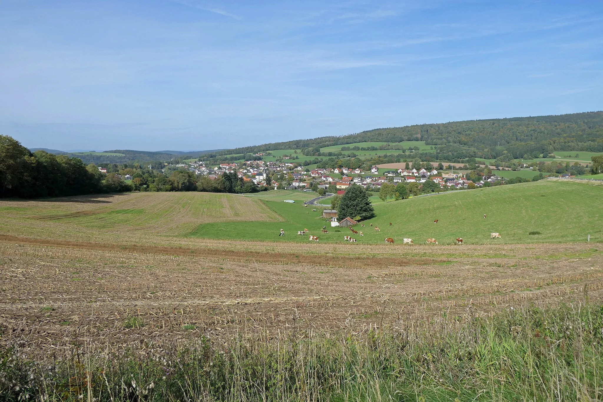
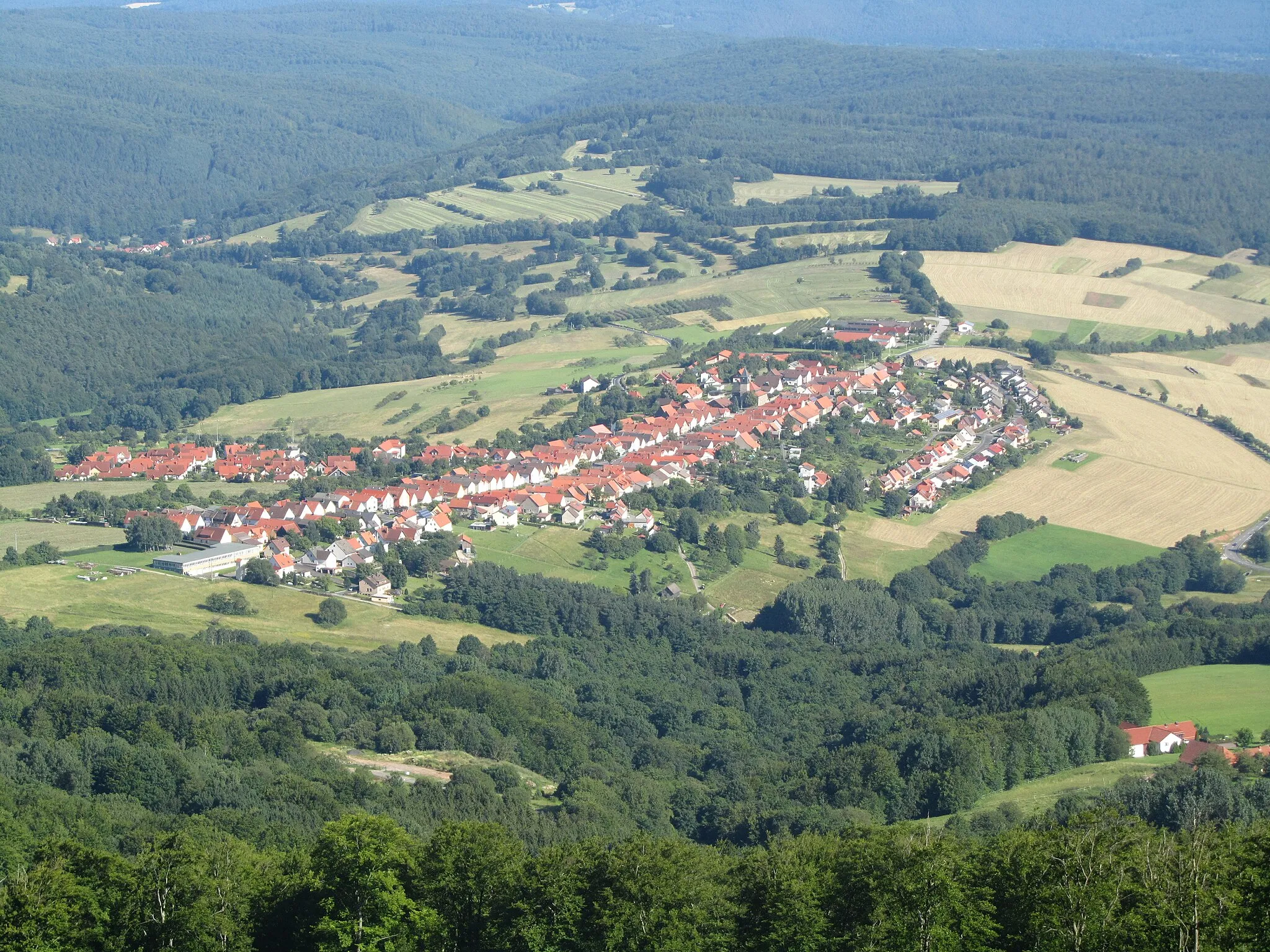
WasserlosenVillageWasserlosen is a traditional village with charming half-timbered houses and a welcoming atmosphere.
81 km
81 km
HammelburgTownHammelburg is a picturesque town with a rich history dating back to the Roman era.
92 km
92 km
Büchelberg445 mPeakBüchelberg is a small village surrounded by idyllic countryside and charming farms.
105 km
105 km
OberleichtersbachVillageOberleichtersbach is a quaint village known for its traditional Franconian architecture and scenic beauty.
114 km
114 km
RiedenbergVillageRiedenberg is a medieval town with narrow streets, historic buildings, and a relaxed atmosphere.
128 km
128 km
Simmelsberg843 mPeakSimmelsberg is a small hill offering panoramic views of the surrounding Rhön landscape.
132 km
132 km
Finish: Gersfeld Village centerGersfeld: Conquer the famous Wasserkuppe Mountain in Gersfeld
Cycling routes from Gersfeld:
Hohe Hölle and Rhön Region Margravial Stone - Road Cycling Route Gravel Adventure to Wasserkuppe Rugged Gravel Adventure Simmelsberg and Rhön Forest Adventure Gravel Challenge Scenic Gravel Tour to Weinberg Maiersbach Exploration Scenic Road Adventure Hiking to Horstberg Challenging Gravel Expedition
Cycling routes nearby: