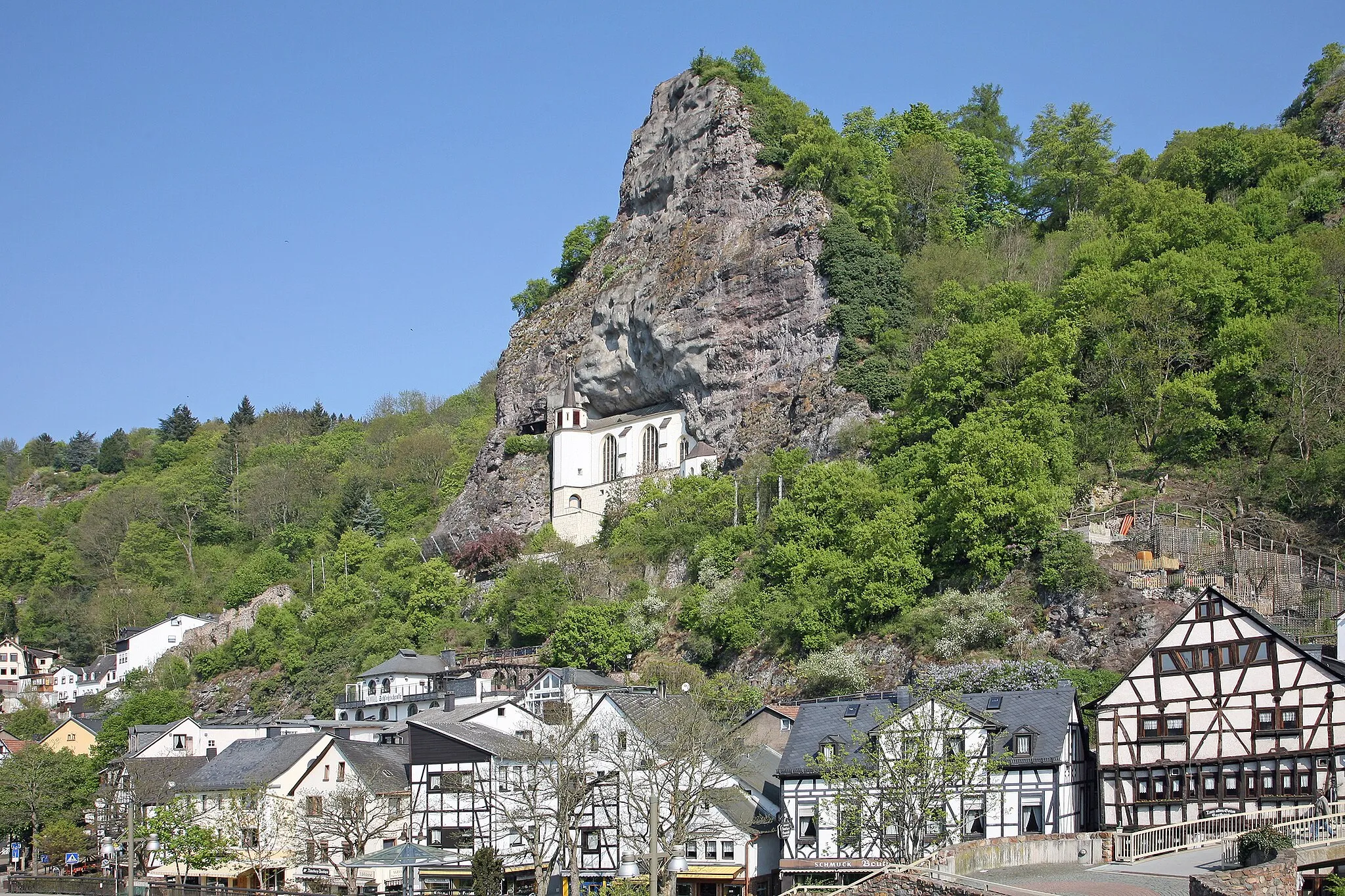
The Hoppstädten-Weiersbach Adventure
A road cycling route starting from Hoppstadten-Weiersbach
An epic cycling route packed with highlights in the Koblenz region
Map
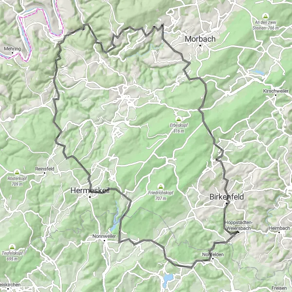
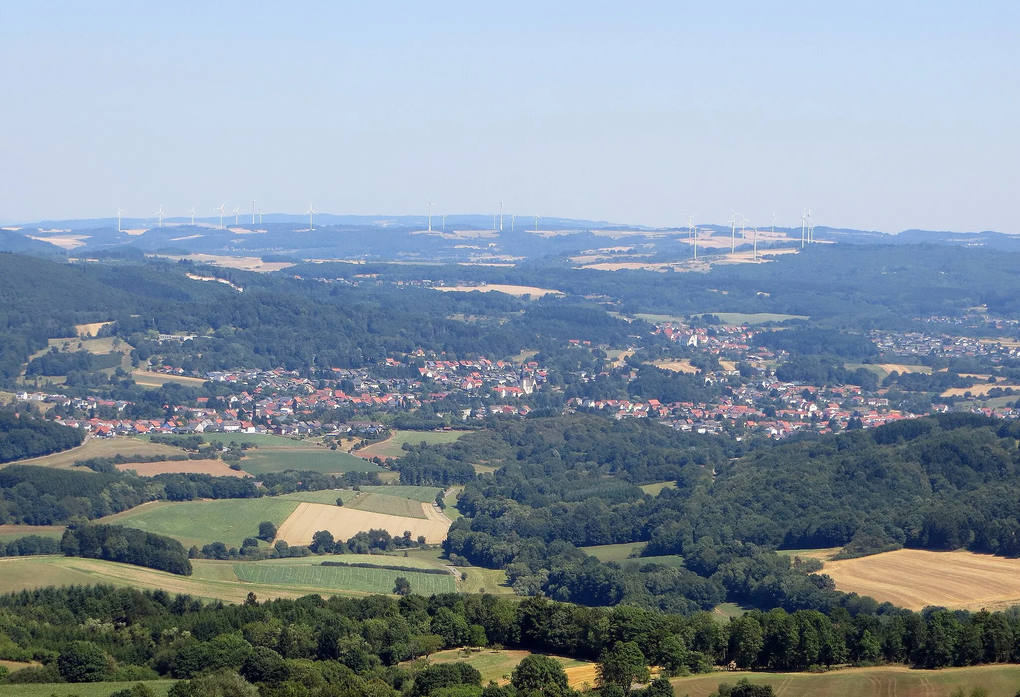
This round-trip cycling route starting near Hoppstädten-Weiersbach is an adventure that takes you through beautiful landscapes and cultural highlights. With a total ascent of 1917 meters and a distance of 107 kilometers, this road route offers a thrilling challenge for well-trained amateurs. The gravel route, on the other hand, covers 1465 meters of ascent and 64 kilometers, providing a more adventurous off-road experience. Both routes take you through forests, quaint villages, and picturesque scenery, allowing you to immerse yourself in the natural beauty of Germany. Whether you choose the road or gravel option, you can expect a memorable cycling journey.
road
107 km
1917 m
Tough
Route profile
Highlights on the route
0 km
0 km
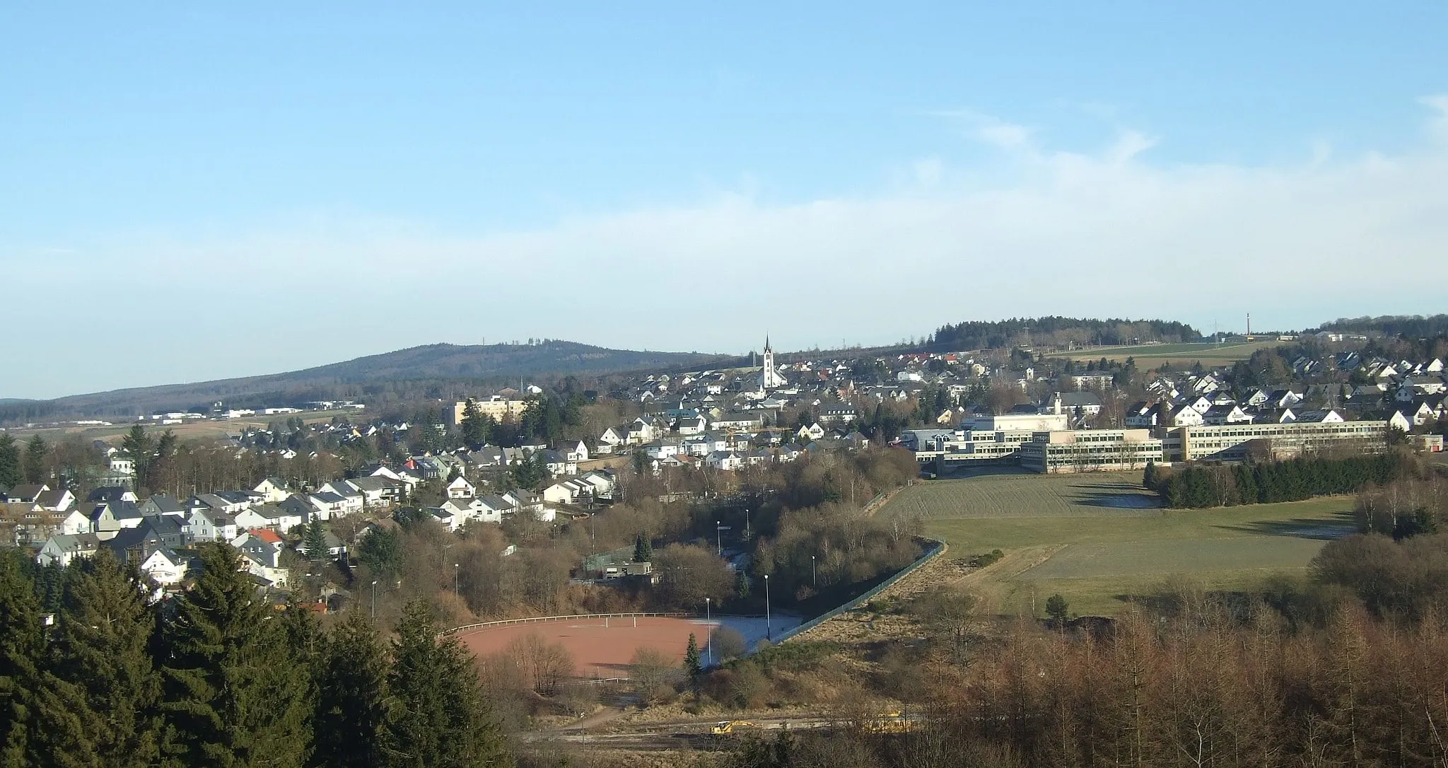
Start: Hoppstädten-Weiersbach Village centerHoppstädten-Weiersbach: Exploring Mountain Trails in Hoppstädten-Weiersbach
Hoppstädten-Weiersbach, located in Koblenz, Germany, is a small town with a lot to offer to road and gravel cyclists. The surrounding area is known for its stunning mountainous landscapes and forests, providing a challenge for experienced riders. Cyclists in Hoppstädten-Weiersbach can enjoy exploring the nearby Idarwald and the Hochwald nature parks, which offer a variety of cycling trails for all levels. With its scenic beauty and diverse terrain, Hoppstädten-Weiersbach is a great destination for cyclists seeking an adventurous ride.5 km
5 km
NohfeldenVillageNohfelden is a must-visit highlight along the route, with its stunning castle and scenic surroundings. Take a break and explore the historical charm of this idyllic town.
12 km
12 km
Mannenberg466 mPeakMannenberg offers breathtaking panoramic views of the surrounding countryside. Stop here to catch your breath and soak in the beauty of the region.
29 km
29 km
HermeskeilTownHermeskeil is home to the popular Hochwaldmuseum, which showcases the history and culture of the area. Take some time to visit this fascinating museum.
44 km
44 km
BescheidVillageBescheid is a charming village known for its half-timbered houses and traditional architecture. Marvel at the well-preserved heritage as you pass through.
54 km
54 km
Kronenberg375 mPeakKronenberg is a hidden gem with its tranquil landscapes and peaceful atmosphere. Enjoy the serenity of this quaint village.
81 km
81 km
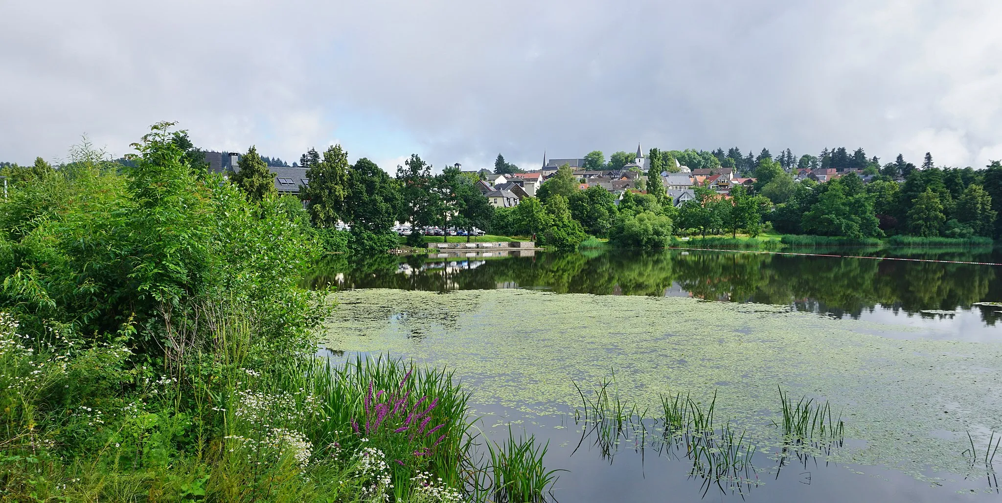
KippViewpointKipp offers a refreshing break with its picturesque lake and recreational area. Take a moment to relax and enjoy the surrounding nature.
81 km
81 km
HoxelVillageHoxel impresses with its stunning Hoxeler Bach stream and peaceful surroundings. Pause and appreciate the tranquility of this scenic spot.
94 km
94 km
Aussichtsturm HattgensteinViewpointAussichtsturm Hattgenstein is a lookout tower offering breathtaking panoramic views of the landscape. Climb to the top and admire the vista.
107 km
107 km
Finish: Hoppstädten-Weiersbach Village centerHoppstädten-Weiersbach: Exploring Mountain Trails in Hoppstädten-Weiersbach
Cycling routes from Hoppstadten-Weiersbach:
Hoppstädten-Weiersbach Loop Gravel Adventure through Nahe Valley Hoppstädten-Weiersbach Scenic Gravel Trail Mauschbach Adventure Ride Gravel Adventure through Nahetal The Hoppstädten-Weiersbach Adventure Off the Beaten Path Gravel Adventure Scenic Road Loop Classic Countryside Tour The Beauty of Nature Road Cycling
Cycling routes nearby: