Scenic Road Loop
A road cycling route starting from Hoppstadten-Weiersbach
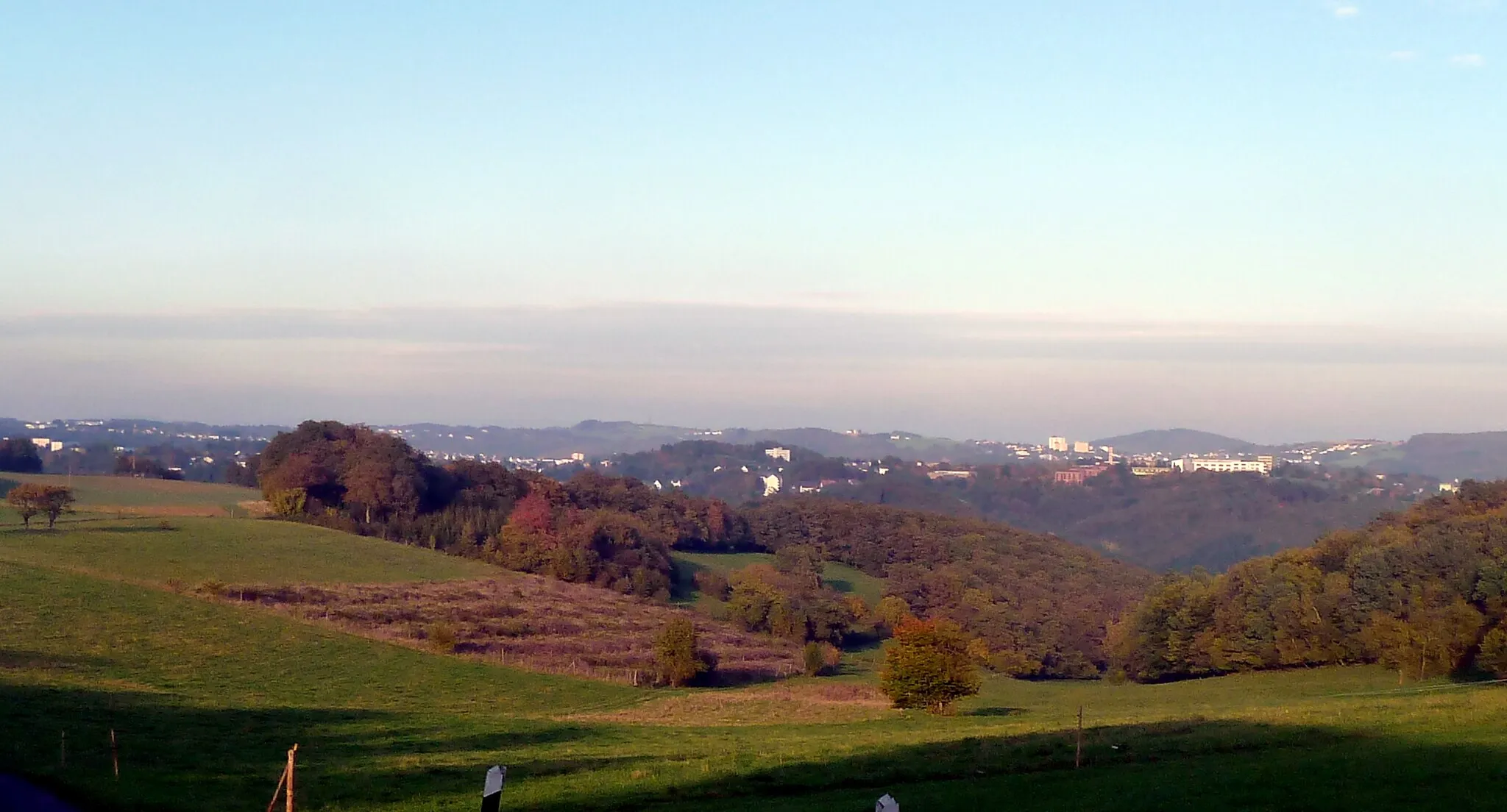
Enjoy scenic landscapes and cultural highlights on this road cycling route
Map
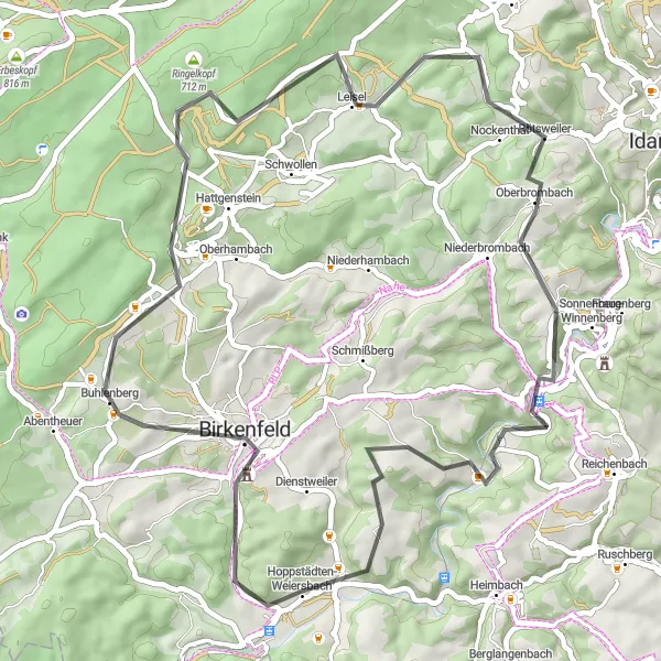
This road route near Hoppstädten-Weiersbach offers a delightful cycling experience with stunning landscapes and cultural highlights. Covering a distance of 51 kilometers and featuring 950 meters of ascent, it is suitable for well-trained amateur cyclists. You will pass through enchanting forests, charming villages, and rolling countryside, immersing yourself in the natural beauty of the region. Highlights along the way include Rinzenberg, known for its panoramic views, and Oberbrombach, with its serene atmosphere. Discover the undeniable charm of the Koblenz region as you pedal through picturesque scenery and immerse yourself in its rich cultural heritage.
road
51 km
950 m
Chill
Route profile
Highlights on the route
0 km
0 km
Start: Hoppstädten-Weiersbach Village centerHoppstädten-Weiersbach: Exploring Mountain Trails in Hoppstädten-Weiersbach
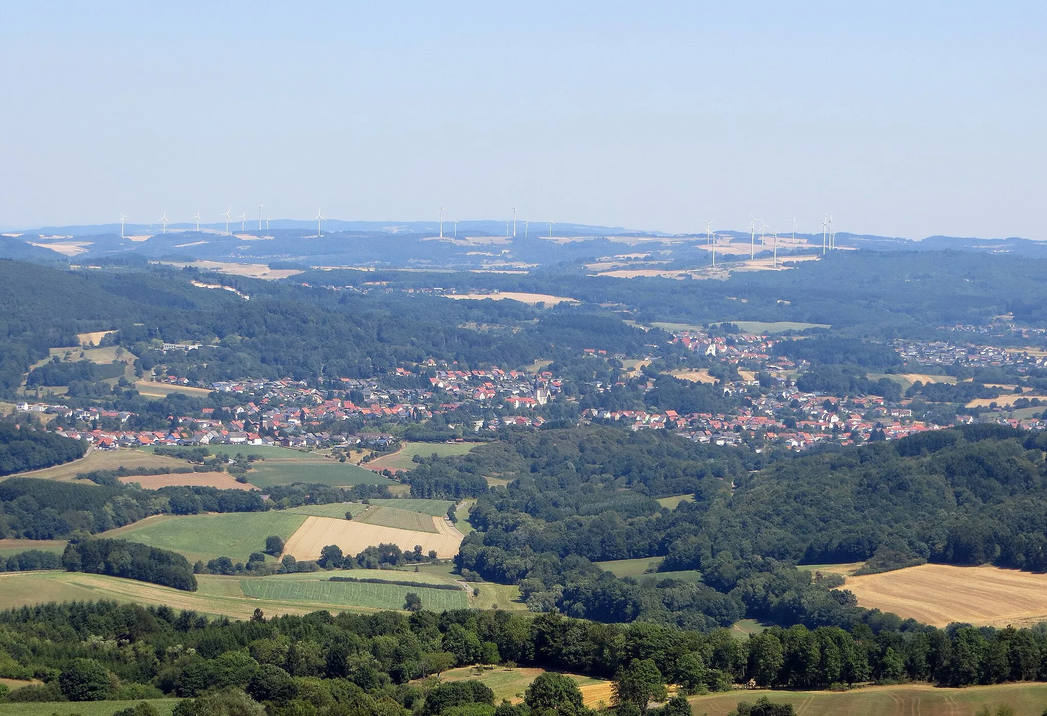
Hoppstädten-Weiersbach, located in Koblenz, Germany, is a small town with a lot to offer to road and gravel cyclists. The surrounding area is known for its stunning mountainous landscapes and forests, providing a challenge for experienced riders. Cyclists in Hoppstädten-Weiersbach can enjoy exploring the nearby Idarwald and the Hochwald nature parks, which offer a variety of cycling trails for all levels. With its scenic beauty and diverse terrain, Hoppstädten-Weiersbach is a great destination for cyclists seeking an adventurous ride.12 km
12 km
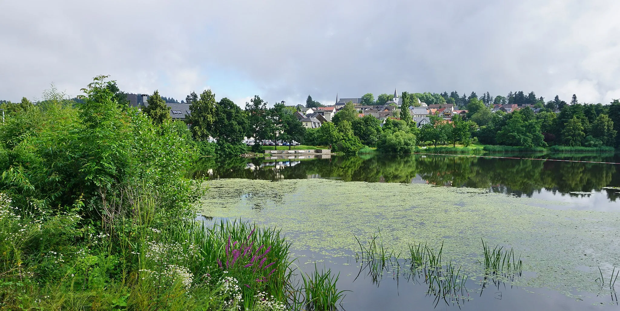
RinzenbergVillageRinzenberg stands out for its breathtaking panoramic viewpoints overlooking the surrounding valleys. Capture unforgettable pictures at this scenic spot.
18 km
18 km
Ringelkopf712 mPeakRingelkopf is a peaceful mountain offering beautiful vistas and a tranquil atmosphere. Enjoy the serenity as you pass through.
27 km
27 km
SiesbachVillageSiesbach is a picturesque village surrounded by rolling meadows and green fields. Take in the idyllic countryside scenery.
32 km
32 km
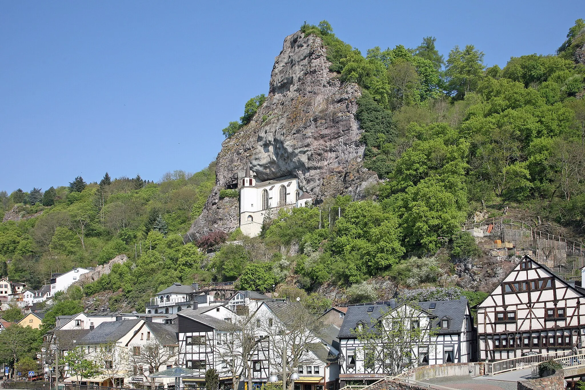
OberbrombachVillageOberbrombach is a quaint village with its charming half-timbered houses and beautiful landscapes. Experience the rural beauty of the area.
46 km
46 km
Muschelberg499 mPeakMuschelberg is a hill with vast, open vistas and panoramic views. Pause and savor the beauty of the surrounding nature.
51 km
51 km
Finish: Hoppstädten-Weiersbach Village centerHoppstädten-Weiersbach: Exploring Mountain Trails in Hoppstädten-Weiersbach
Cycling routes from Hoppstadten-Weiersbach:
Hoppstädten-Weiersbach Loop Gravel Adventure through Nahe Valley Hoppstädten-Weiersbach Scenic Gravel Trail Mauschbach Adventure Ride Gravel Adventure through Nahetal The Hoppstädten-Weiersbach Adventure Off the Beaten Path Gravel Adventure Scenic Road Loop Classic Countryside Tour The Beauty of Nature Road Cycling
Cycling routes nearby: