The Vallendar Route
A road cycling route starting from Sankt Sebastian
Explore the picturesque town of Vallendar
Map
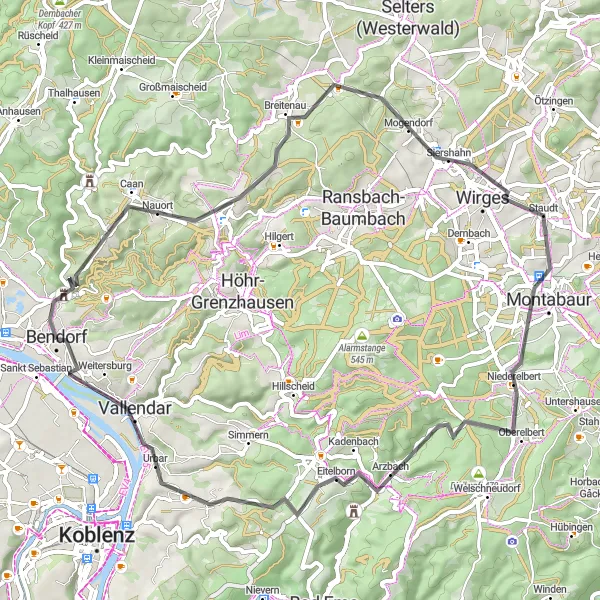
The Vallendar Route is a scenic road cycling route that takes you through the picturesque town of Vallendar. Starting near Sankt Sebastian, this 63-kilometer route offers a moderate challenge with an ascent of 923 meters. Highlights along the way include Nauort, Rödersberg, Wirges, Ausblick, Arzbach, Hümmerich, Kaiser-Friedrich-Turm, and more. The difficulty level of this route is 3 out of 5, suitable for intermediate-level cyclists. The epicness of this route is ranked 2 out of 5, offering scenic countryside views and a visit to the Vallendar town center.
road
63 km
923 m
Tough
Route profile
Highlights on the route
0 km
0 km
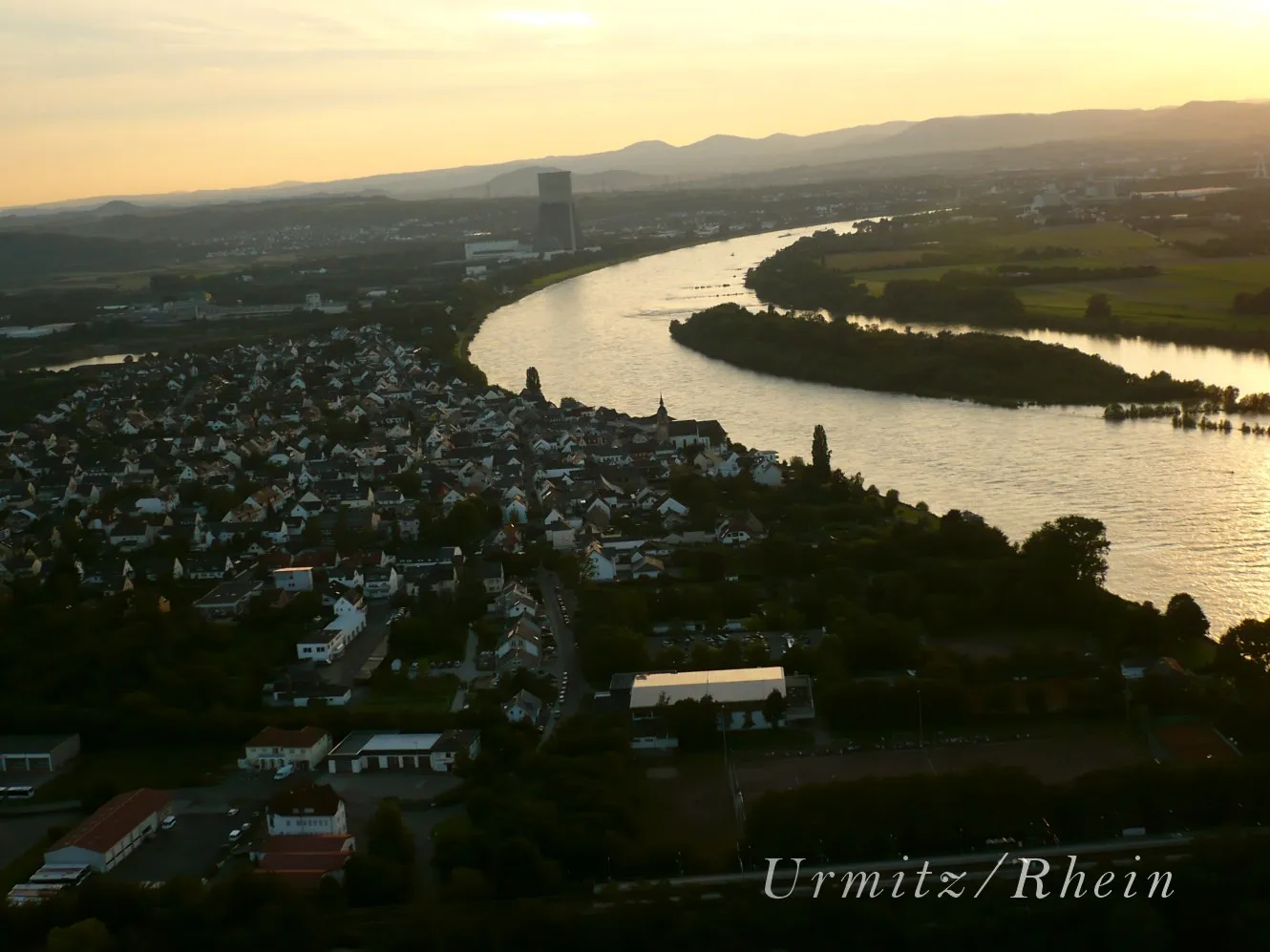
Start: Bendorf City centerSankt Sebastian: Cycling through history in Koblenz, Germany
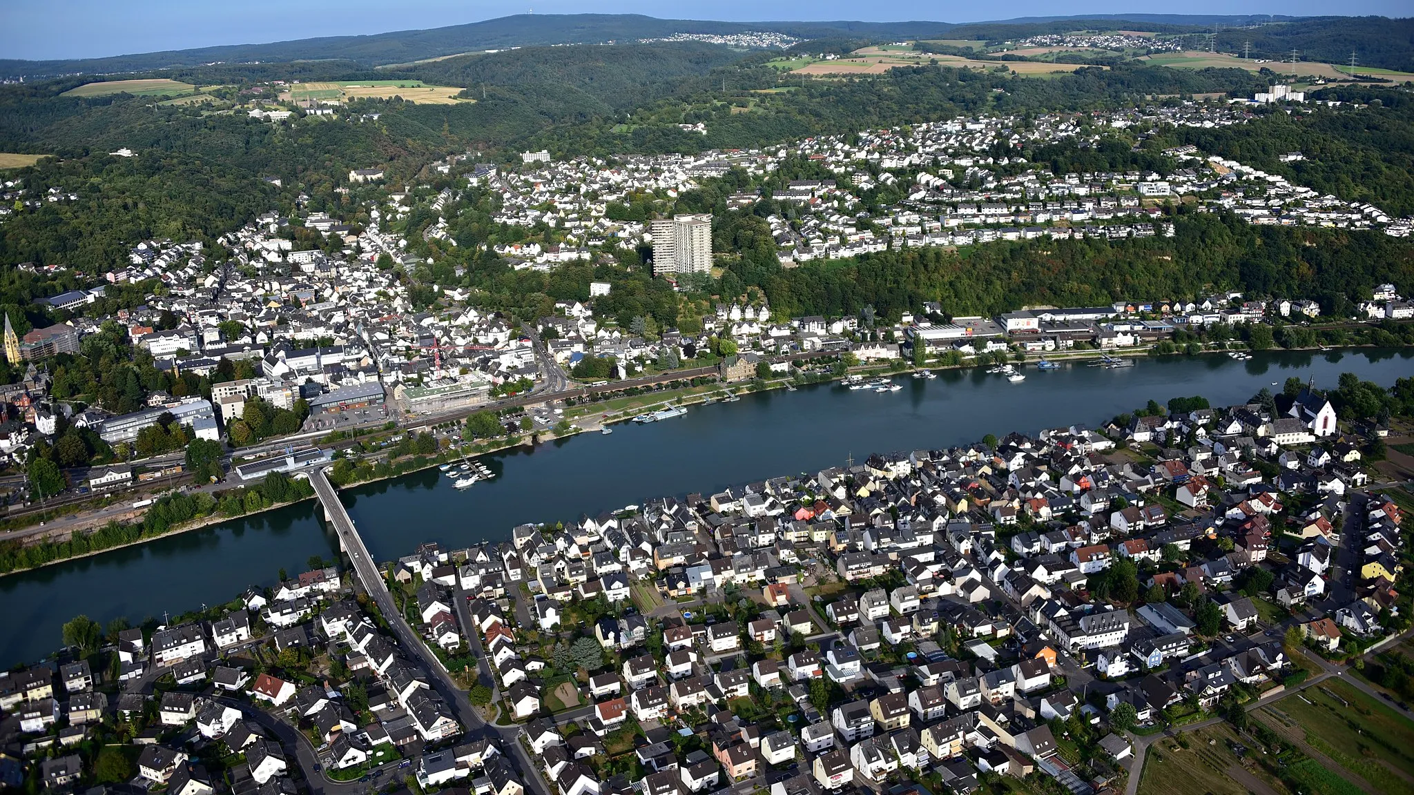
Sankt Sebastian, located in Koblenz, Germany, is a pleasant locality for road and gravel cycling. The region offers diverse landscapes, including river valleys and rolling hills. Cyclists can explore the scenic routes that pass through charming towns and along the mighty Rhine River. Sankt Sebastian itself is a small town with a rich history and charming architecture. Cyclists can also visit nearby well-known climbs such as Finkenherd or Ehrenthal. Overall, Sankt Sebastian provides a enjoyable cycling experience for both road and gravel cyclists.8 km
8 km
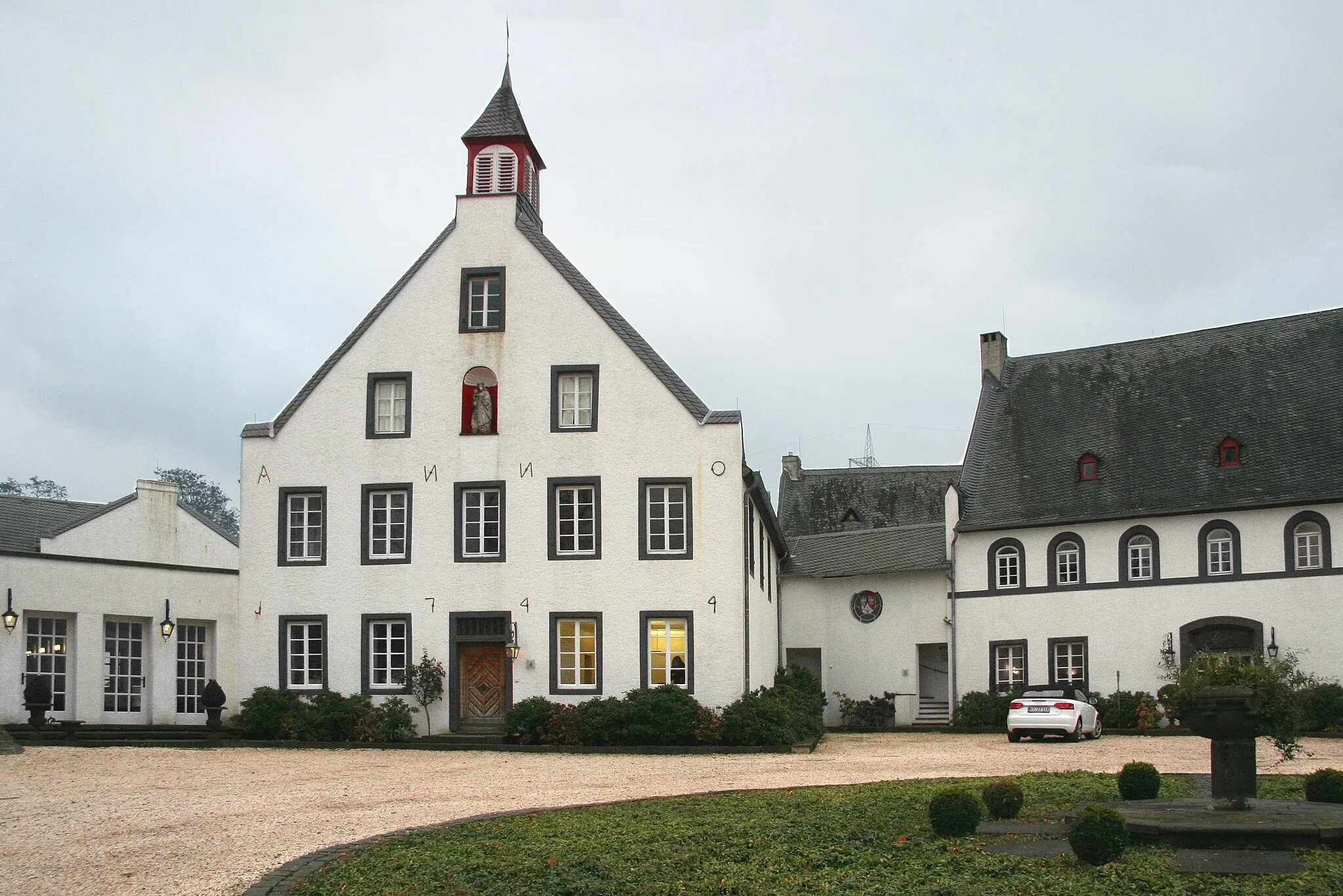
NauortVillageNauort is a charming village with well-preserved traditional architecture.
14 km
14 km
Rödersberg281 mPeakRödersberg offers beautiful views of the surrounding countryside.
25 km
25 km
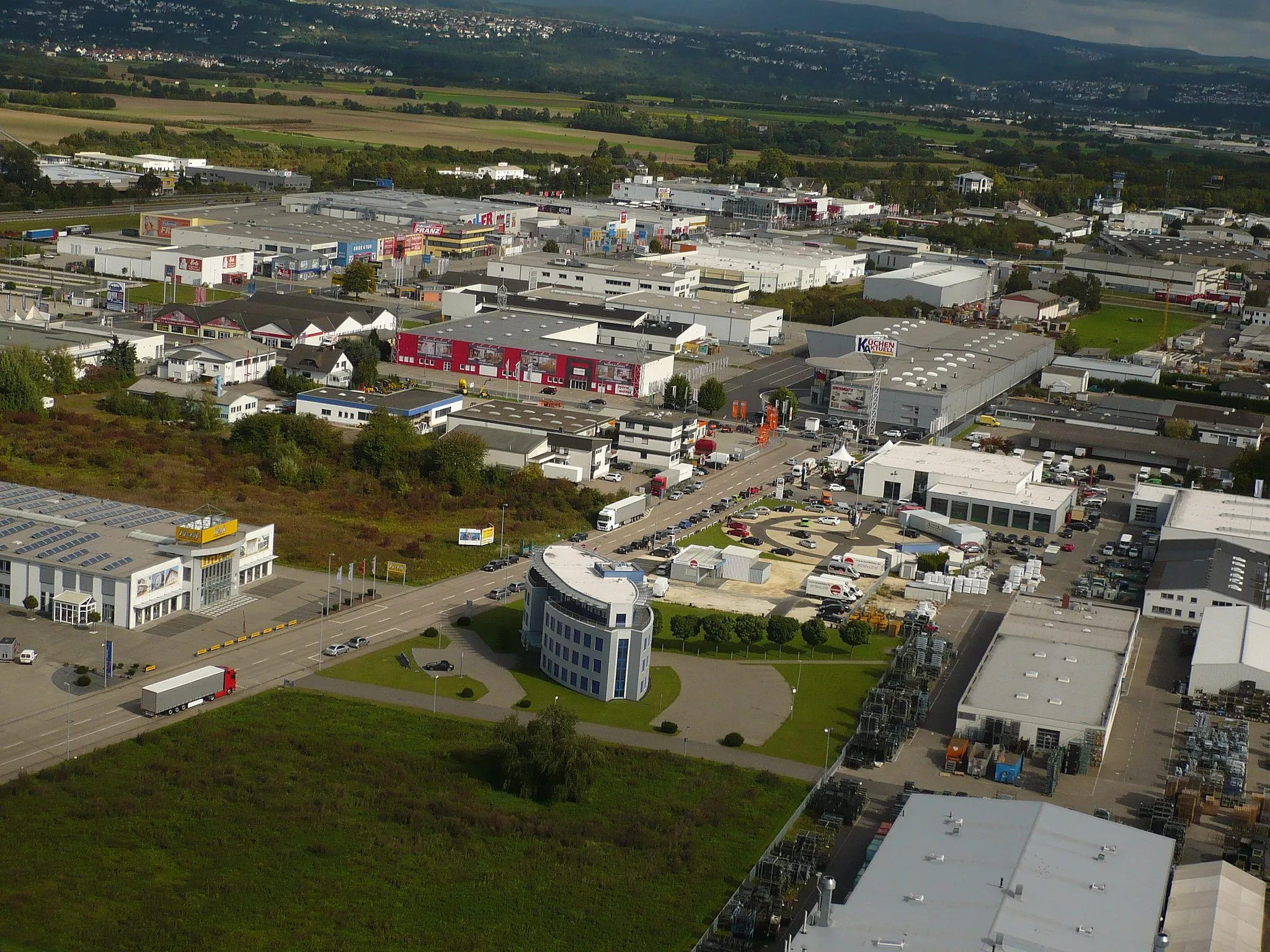
WirgesTownWirges is known for its picturesque town square and historic buildings.
31 km
31 km
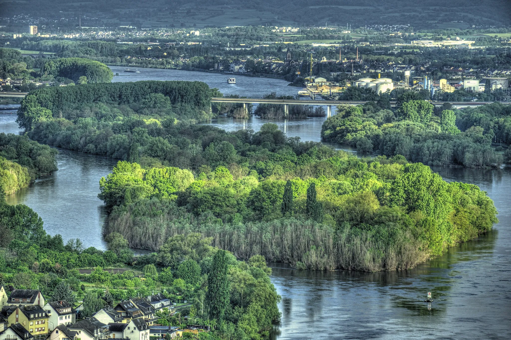
AusblickViewpointAusblick offers panoramic views of the Rhine River.
43 km
43 km
ArzbachVillageArzbach is a scenic village with a peaceful atmosphere.
49 km
49 km
Hümmerich354 mPeakHümmerich is a small village surrounded by rolling hills and forests.
57 km
57 km
Kaiser-Friedrich-TurmViewpointKaiser-Friedrich-Turm offers stunning views of the Rhine Valley.
58 km
58 km
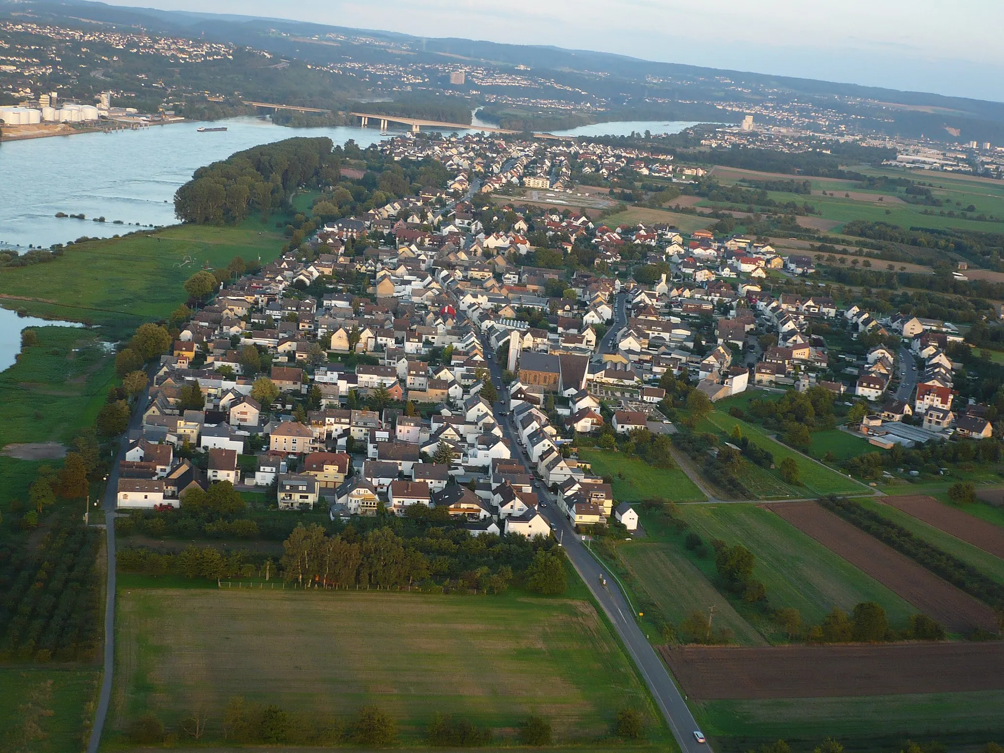
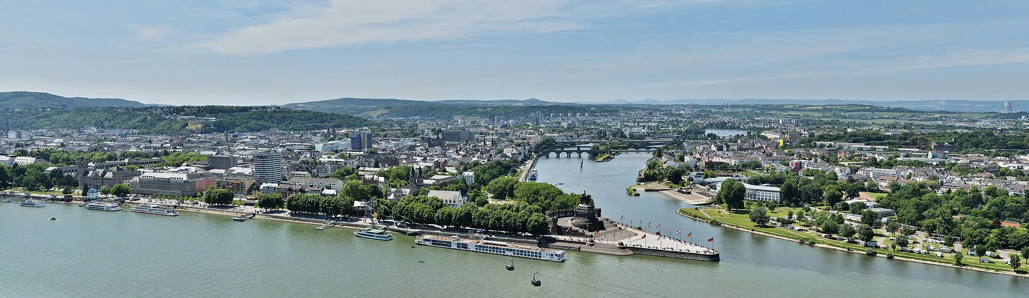
VallendarTownVallendar is a charming town with a historic university and beautiful riverside promenade.
63 km
63 km
Finish: Bendorf City centerSankt Sebastian: Cycling through history in Koblenz, Germany
Cycling routes from Sankt Sebastian:
Along the Rhine and through the Volcanic Eifel Nature and History Along the River Exploring the Natural Beauties of the Westerwald The Gravel Adventure Bendorf's Nature and Heritage The Bendorf Loop Exploring the Hinterland of Sankt Sebastian The Vallendar Route The Rengsdorf Challenge The Moselle Loop Eifel Adventure
Cycling routes nearby: