The Rengsdorf Challenge
A road cycling route starting from Sankt Sebastian
Embark on a challenging cycling adventure in Rengsdorf
Map
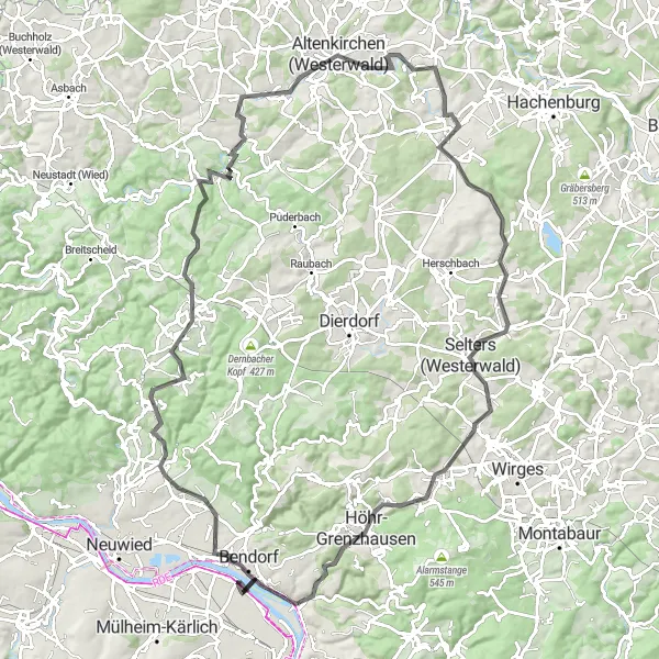
The Rengsdorf Challenge is a demanding road cycling route that takes you through the stunning landscapes of Rengsdorf. This 108-kilometer route features an ascent of 1432 meters, offering a thrilling experience for experienced cyclists. Highlights along the way include Wingertsberg, Rengsdorf, Güllesheim, Rauscheberg, Herzberg, Welkenbach, Hartenfelser Kopf, Maxsain, Hölzenberg, Reitert, and Weitersburg. The difficulty level of this route is 5 out of 5, suitable for experienced cyclists looking for a challenge. The epicness of this route is ranked 4 out of 5, showcasing the natural beauty of the Rengsdorf region and offering breathtaking views along the way.
road
108 km
1432 m
Savage
Route profile
Highlights on the route
0 km
0 km
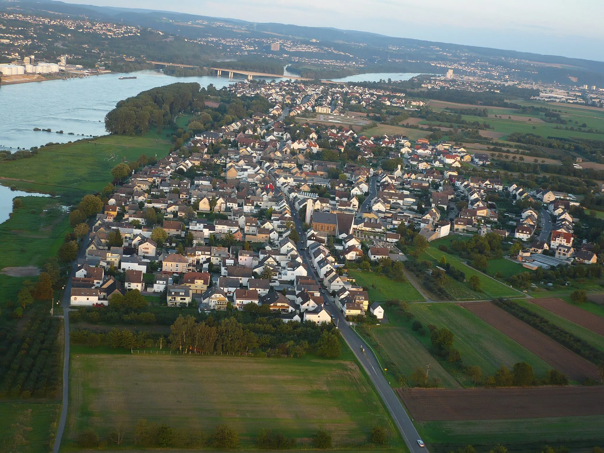
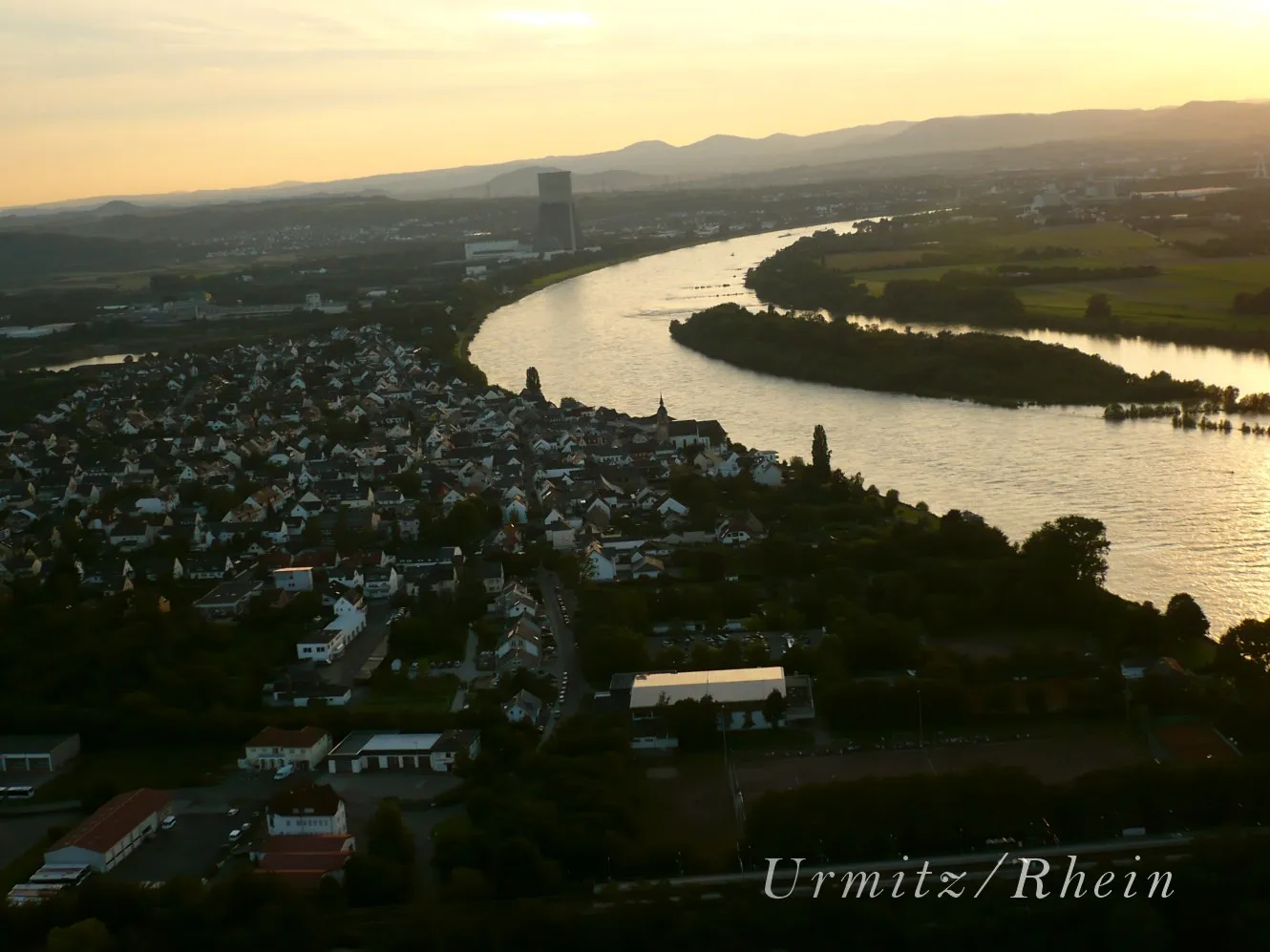
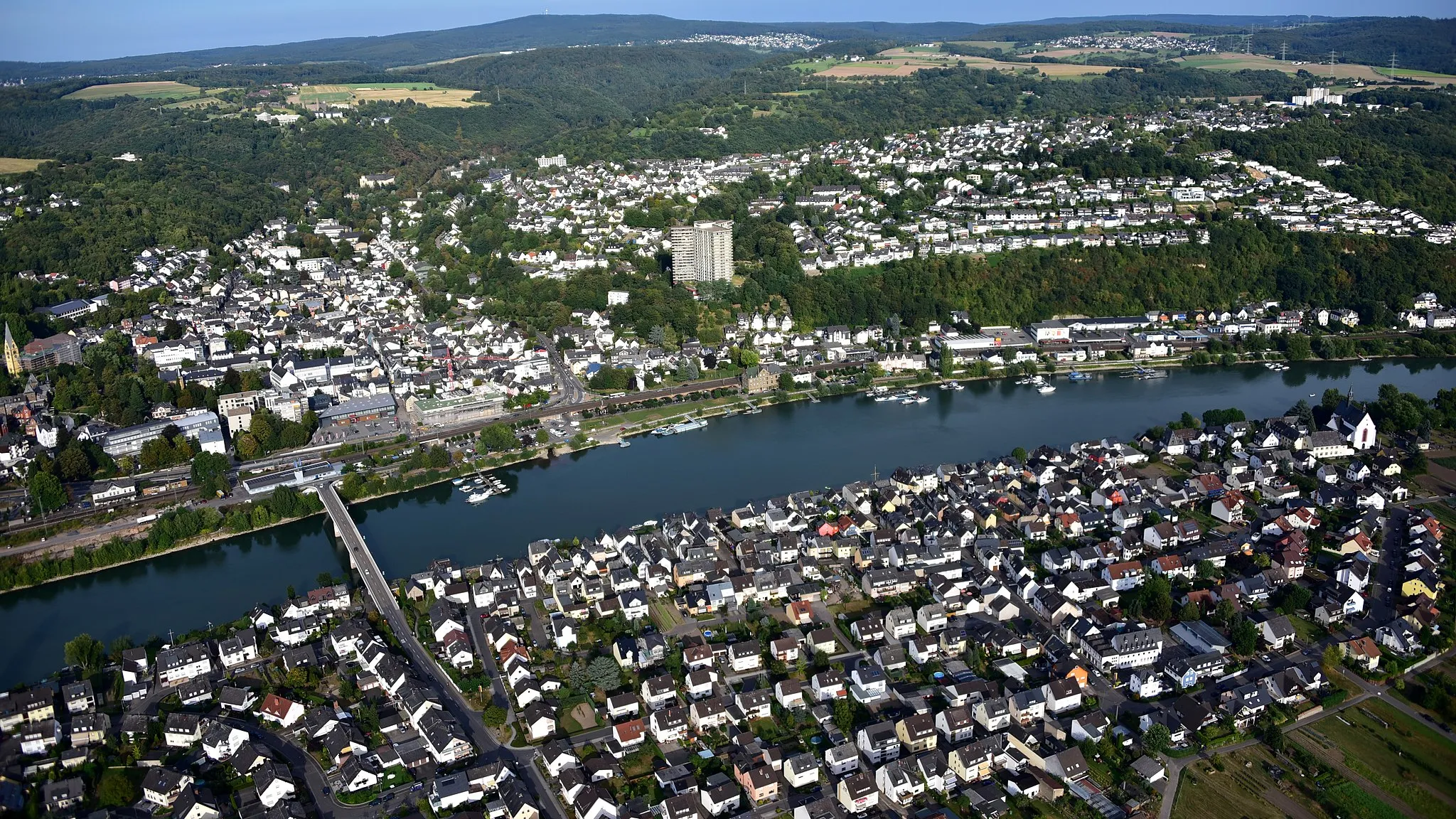
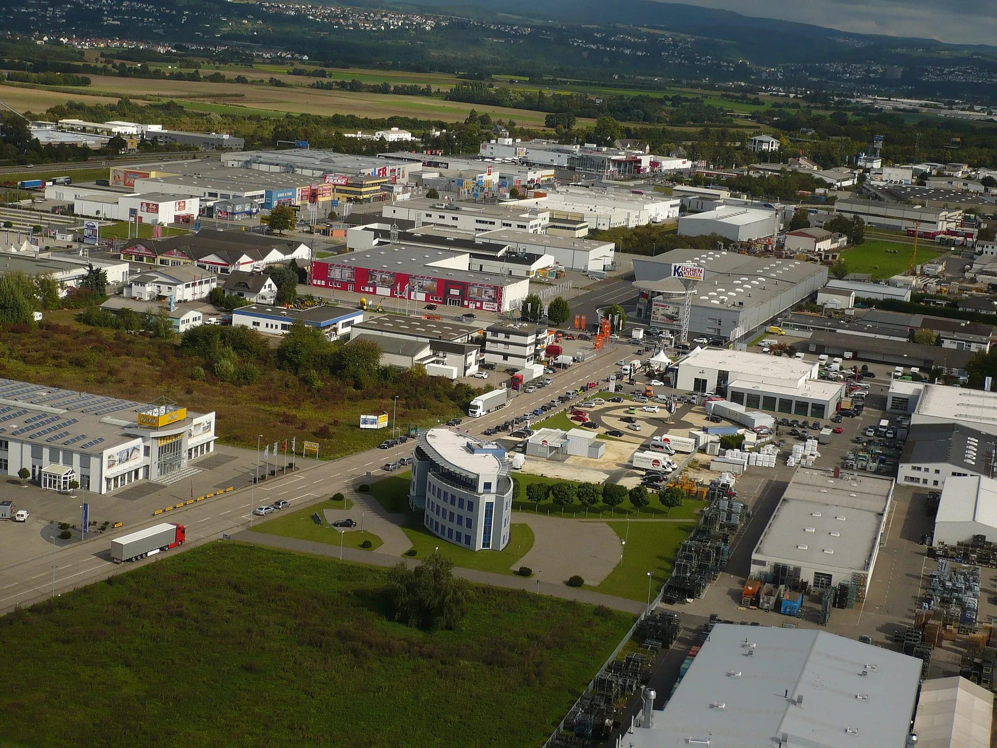
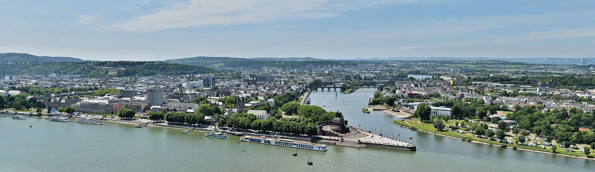
Start: Sankt Sebastian Village centerSankt Sebastian: Cycling through history in Koblenz, Germany
Sankt Sebastian, located in Koblenz, Germany, is a pleasant locality for road and gravel cycling. The region offers diverse landscapes, including river valleys and rolling hills. Cyclists can explore the scenic routes that pass through charming towns and along the mighty Rhine River. Sankt Sebastian itself is a small town with a rich history and charming architecture. Cyclists can also visit nearby well-known climbs such as Finkenherd or Ehrenthal. Overall, Sankt Sebastian provides a enjoyable cycling experience for both road and gravel cyclists.13 km
13 km
Wingertsberg181 mPeakWingertsberg offers panoramic vistas of the surrounding countryside and nearby vineyards.
16 km
16 km
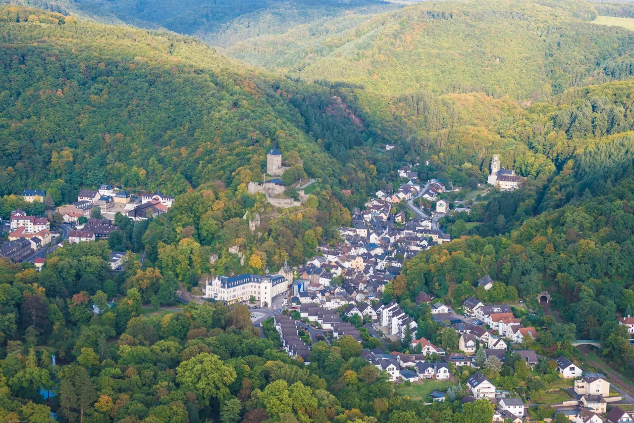
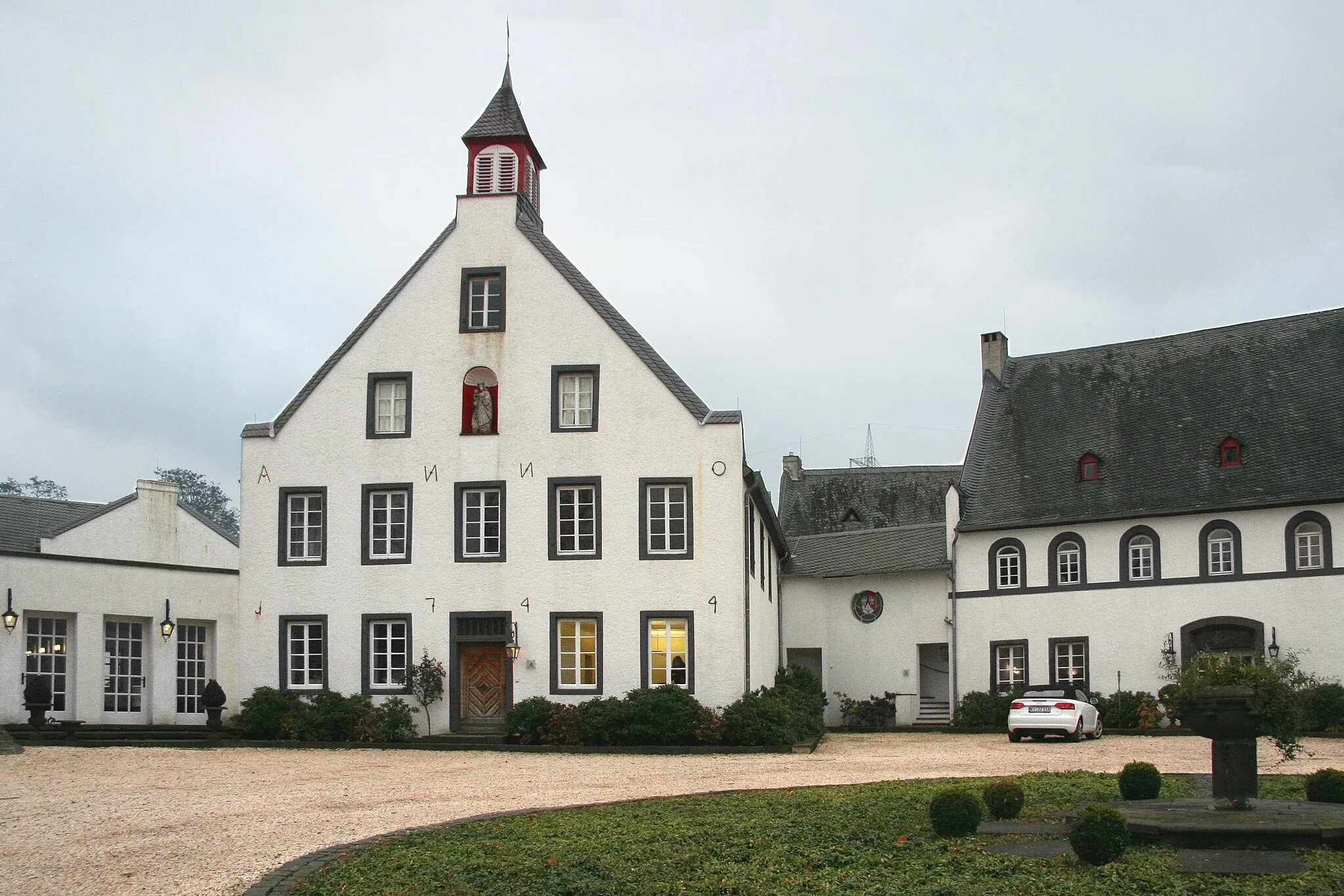
RengsdorfVillageRengsdorf is a charming village with well-preserved historic architecture.
30 km
30 km
GüllesheimVillageGüllesheim is a peaceful village surrounded by rolling hills and forests.
33 km
33 km
Rauscheberg230 mPeakRauscheberg offers breathtaking aerial views of the Rengsdorf region.
56 km
56 km
Herzberg324 mPeakHerzberg is a famous lookout point offering awe-inspiring views of the surrounding landscapes.
64 km
64 km
WelkenbachVillageWelkenbach is a tranquil village with a peaceful atmosphere.
68 km
68 km
Hartenfelser Kopf478 mPeakHartenfelser Kopf is a mountain peak boasting stunning panoramic views.
77 km
77 km
MaxsainVillageMaxsain offers serene tranquility with its beautiful natural landscapes.
89 km
89 km
Hölzenberg391 mPeakHölzenberg is a picturesque hill offering an unobstructed view of the Rengsdorf region.
98 km
98 km
Reitert271 mPeakReitert is a tranquil village surrounded by rolling hills and idyllic countryside.
104 km
104 km
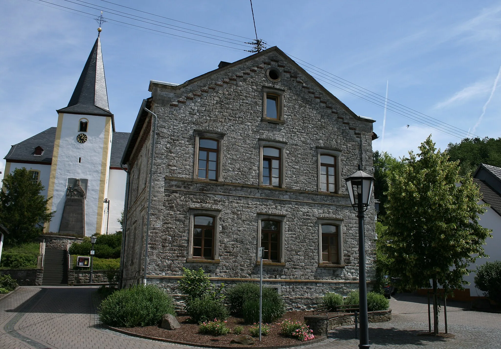
WeitersburgVillageWeitersburg is a medieval castle town with an impressive fortification system.
108 km
108 km
Finish: Sankt Sebastian Village centerSankt Sebastian: Cycling through history in Koblenz, Germany
Cycling routes from Sankt Sebastian:
Along the Rhine and through the Volcanic Eifel Nature and History Along the River Exploring the Natural Beauties of the Westerwald The Gravel Adventure Bendorf's Nature and Heritage The Bendorf Loop Exploring the Hinterland of Sankt Sebastian The Vallendar Route The Rengsdorf Challenge The Moselle Loop Eifel Adventure
Cycling routes nearby: