The Dhunntalspertour
A road cycling route starting from Bergisch Gladbach
Beautiful road route with stunning views of the Dhünntalsperre
Map

The Dhunntalspertour is a road cycling route starting near Bergisch Gladbach. It offers breathtaking views of the Dhünntalsperre and takes you through beautiful landscapes. The route is challenging with a total ascent of 910 meters and a distance of 67 kilometers, making it suitable for well-trained amateur cyclists. With a difficulty level of 3 and an epicness rating of 4, this route promises an exciting and enjoyable cycling experience. Some key highlights along the route are Oberkäsbach, Bölsberg, the viewpoint on the Dhünn-Talsperre, Wipperfeld, Roppersthal, Auf der Platte, Leffelsend, Schloss Bensberg, and Grube Cox.
road
67 km
910 m
Tough
Route profile
Highlights on the route
0 km
0 km
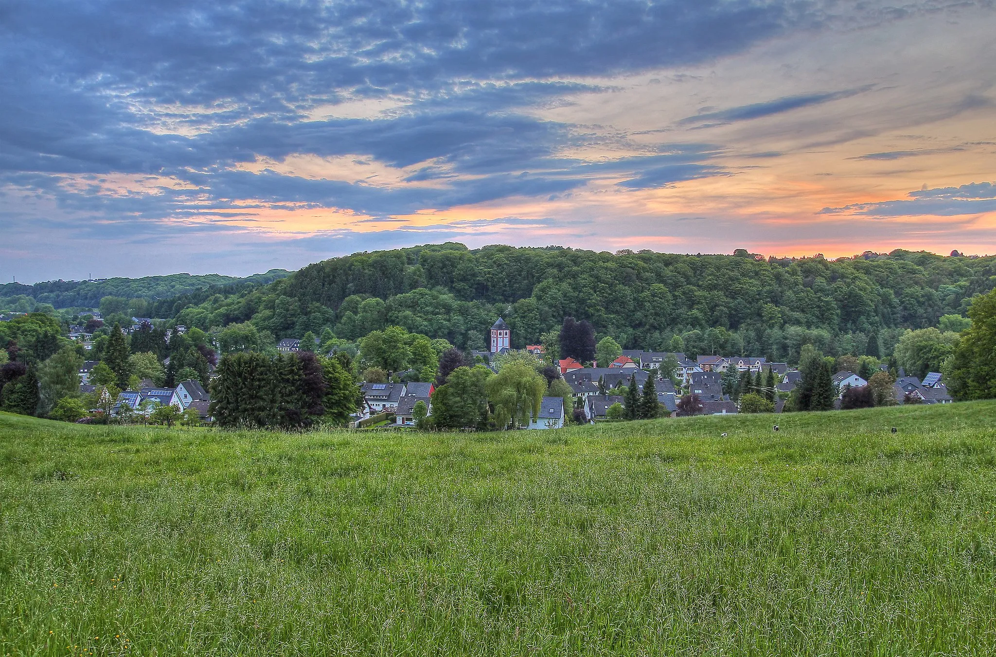
Start: Bergisch Gladbach City centerBergisch Gladbach: Cycle through captivating countryside and charming urban streets in Bergisch Gladbach, Germany
Bergisch Gladbach is a delightful cycling destination located near Köln, Germany. The locality offers a mix of urban and rural cycling experiences, making it a versatile pick for road and gravel cyclists. Bergisch Gladbach features well-paved cycling paths alongside charming streets and picturesque parks. Cyclists can enjoy scenic routes through the countryside, passing by historic castles and beautiful scenery. Nearby, the famous Bergisches Land region provides numerous challenging climbs and scenic roads for those seeking a more intense cycling adventure. With its variety of cycling routes and beautiful surroundings, Bergisch Gladbach welcomes cyclists of all levels.5 km
5 km
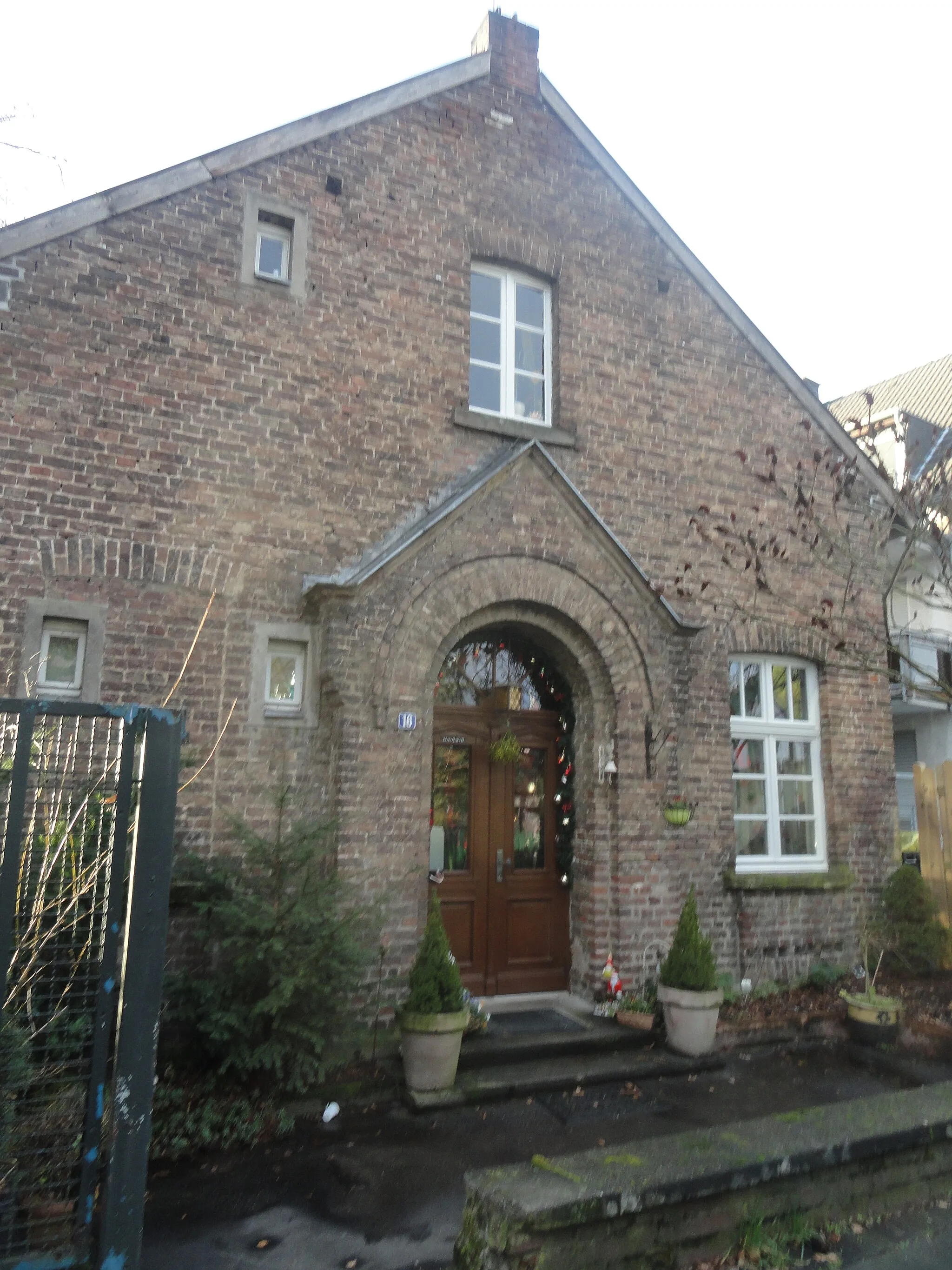
OberkäsbachHamletOberkäsbach is a charming village known for its traditional half-timbered houses and picturesque surroundings.
8 km
8 km
Bölsberg245 mPeakBölsberg offers panoramic views of the surrounding countryside and is a great spot for a rest.
14 km
14 km
Aussichtspunkt auf Dhünn-TalsperreViewpointThe viewpoint on the Dhünn-Talsperre provides stunning views of the reservoir and is a perfect photo opportunity.
21 km
21 km
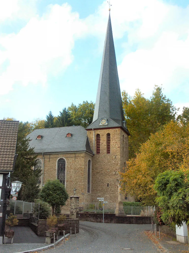
WipperfeldVillageWipperfeld is a quaint village with historical buildings and a peaceful atmosphere.
29 km
29 km
RoppersthalHamletRoppersthal is located in a picturesque valley and offers a delightful cycling experience.
40 km
40 km
Auf der Platte342 mPeakAuf der Platte is a hidden gem with beautiful meadows and fields.
53 km
53 km
LeffelsendHamletLeffelsend is a scenic spot with panoramic views of the surrounding hills.
63 km
63 km
Schloss BensbergCastleSchloss Bensberg is a stunning baroque palace and one of the highlights of the route.
64 km
64 km
Grube CoxViewpointGrube Cox is an old mining site with historical significance and an interesting visit.
67 km
67 km
Finish: Bergisch Gladbach City centerBergisch Gladbach: Cycle through captivating countryside and charming urban streets in Bergisch Gladbach, Germany
Cycling routes from Bergisch Gladbach:
Round trip from Bergisch Gladbach to Schlebusch, Burscheid, Hoheberg, and Odenthal The Burscheid Loop Scenic gravel route from Bergisch Gladbach to Oberkäsbach, Bölsberg, Löhsüng, and Bensberg Gravel adventure from Bergisch Gladbach to Bärbroich, Leienberg, Schloß Ehreshoven, and Tütberg Grand cycling adventure from Bergisch Gladbach to Köln Triangle, Deutz, Brühl, and Cologne The Dhunntalspertour The Siegtal Challenge Road cycling adventure from Bergisch Gladbach to Motte Kippekausen, Kleiner Steinberg, Spich, Porz, and Dellbrück The Aggertal Tour The Gravel Adventure
Cycling routes nearby: