The Siegtal Challenge
A road cycling route starting from Bergisch Gladbach
A challenging road cycling route with epic climbs and scenic beauty
Map
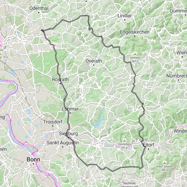
The Siegtal Challenge is a challenging road cycling route starting near Bergisch Gladbach. With a total ascent of 1666 meters and a distance of 111 kilometers, this route is suitable for experienced cyclists. The highlights along the route include Eikamp, Am Lingenstock, Hohnsberg, Much, Eitorf, Sommershof, Michaelsberg, Siegburg, Rösrath, and Grube Cox. This route has a difficulty level of 4 and an epicness rating of 4, promising an exciting and rewarding cycling experience. Enjoy stunning views, epic climbs, and picturesque landscapes along the way.
road
111 km
1666 m
Tough
Route profile
Highlights on the route
0 km
0 km
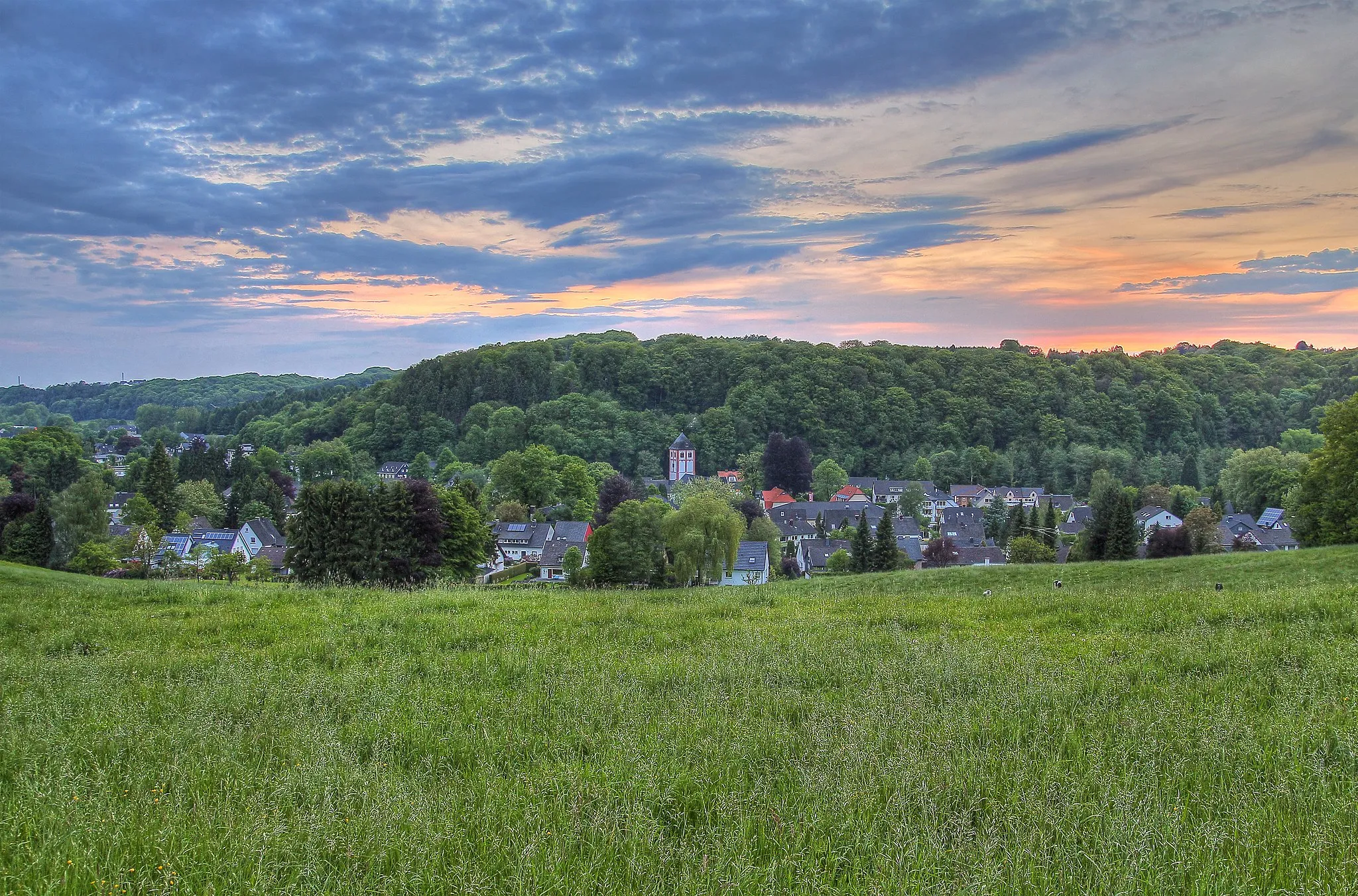
Start: Bergisch Gladbach City centerBergisch Gladbach: Cycle through captivating countryside and charming urban streets in Bergisch Gladbach, Germany
Bergisch Gladbach is a delightful cycling destination located near Köln, Germany. The locality offers a mix of urban and rural cycling experiences, making it a versatile pick for road and gravel cyclists. Bergisch Gladbach features well-paved cycling paths alongside charming streets and picturesque parks. Cyclists can enjoy scenic routes through the countryside, passing by historic castles and beautiful scenery. Nearby, the famous Bergisches Land region provides numerous challenging climbs and scenic roads for those seeking a more intense cycling adventure. With its variety of cycling routes and beautiful surroundings, Bergisch Gladbach welcomes cyclists of all levels.5 km
5 km
EikampVillageEikamp offers panoramic views of the surroundings and is a popular spot among cyclists for its challenging climb.
10 km
10 km
Am LingenstockViewpointAm Lingenstock is a picturesque spot with stunning views and is perfect for a rest stop.
30 km
30 km
Hohnsberg301 mPeakHohnsberg is a challenging climb with beautiful landscapes and scenic vistas.
35 km
35 km
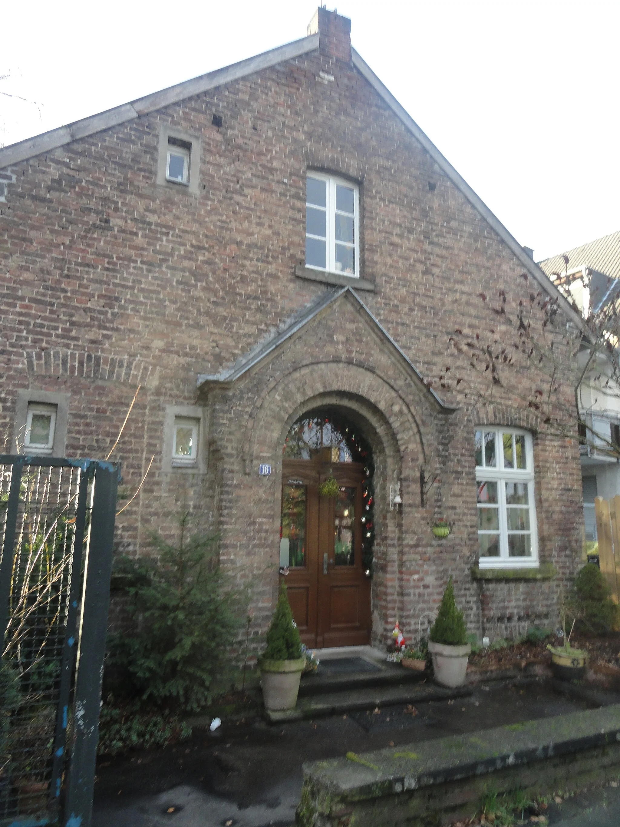
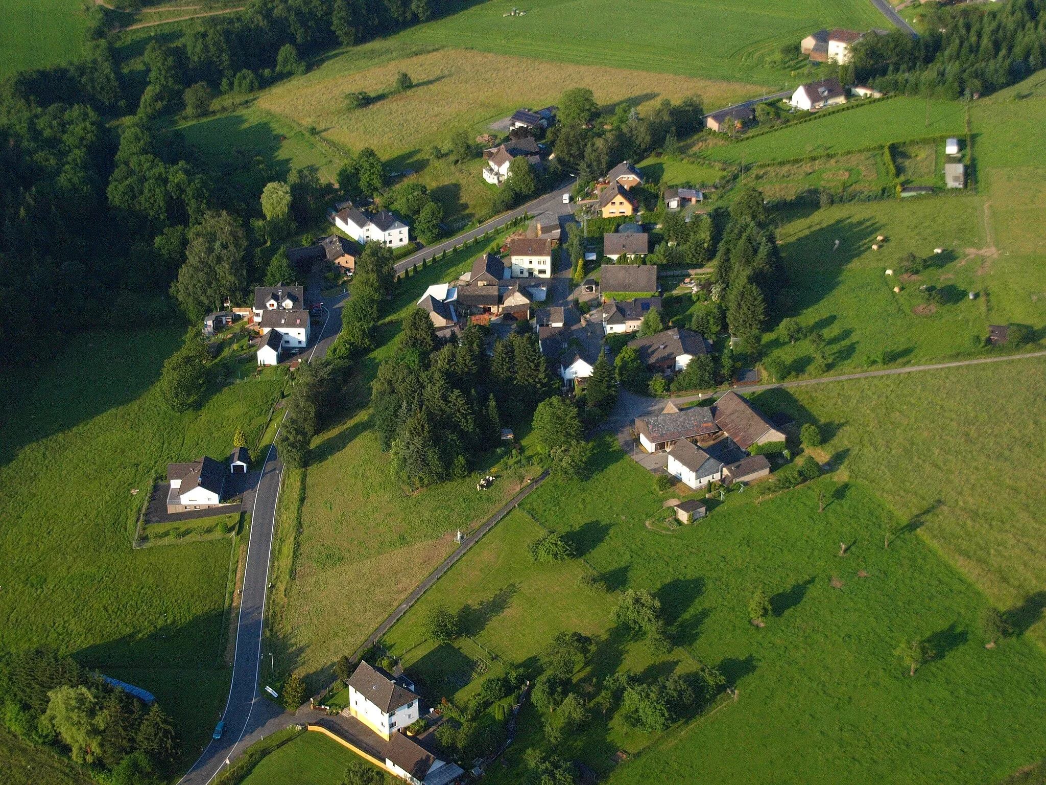
MuchVillageMuch is a charming village nestled in the hills and offers peace and tranquility.
55 km
55 km
EitorfTownEitorf is a lively town with a picturesque old town and beautiful natural surroundings.
64 km
64 km
SommershofHamletSommershof is a small hamlet with traditional farms and scenic beauty.
84 km
84 km
Michaelsberg118 mPeakMichaelsberg is a picturesque hill with stunning panoramic views.
84 km
84 km
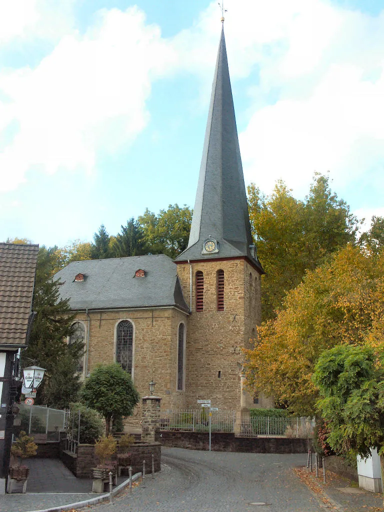
SiegburgTownSiegburg is a historic town known for its well-preserved medieval city center and vibrant atmosphere.
98 km
98 km
RösrathTownRösrath is a cycling-friendly town with beautiful landscapes and charming architecture.
108 km
108 km
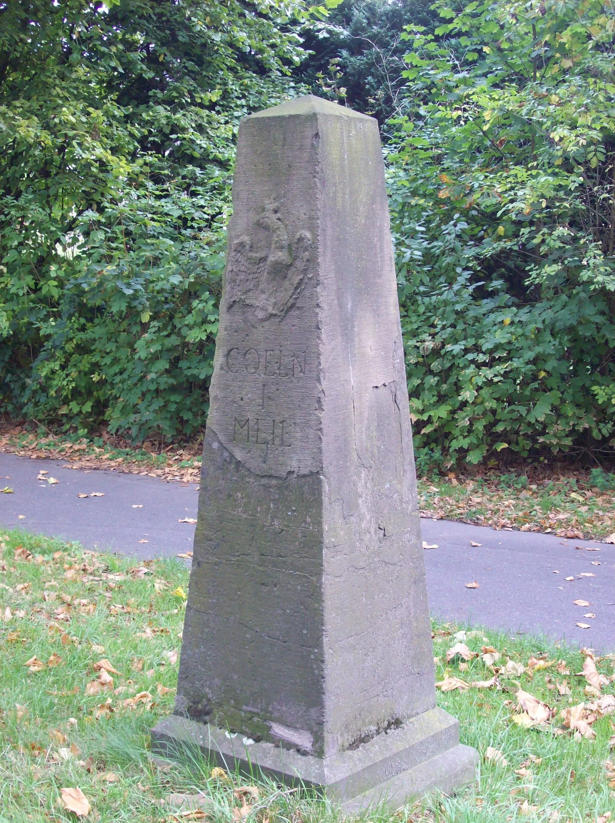
Grube CoxViewpointGrube Cox is a must-visit for cycling enthusiasts, offering a glimpse into the area's mining history.
111 km
111 km
Finish: Bergisch Gladbach City centerBergisch Gladbach: Cycle through captivating countryside and charming urban streets in Bergisch Gladbach, Germany
Cycling routes from Bergisch Gladbach:
Round trip from Bergisch Gladbach to Schlebusch, Burscheid, Hoheberg, and Odenthal The Burscheid Loop Scenic gravel route from Bergisch Gladbach to Oberkäsbach, Bölsberg, Löhsüng, and Bensberg Gravel adventure from Bergisch Gladbach to Bärbroich, Leienberg, Schloß Ehreshoven, and Tütberg Grand cycling adventure from Bergisch Gladbach to Köln Triangle, Deutz, Brühl, and Cologne The Dhunntalspertour The Siegtal Challenge Road cycling adventure from Bergisch Gladbach to Motte Kippekausen, Kleiner Steinberg, Spich, Porz, and Dellbrück The Aggertal Tour The Gravel Adventure
Cycling routes nearby: