Gravel Cycling Route: Cologne Adventure
A gravel cycling route starting from Muelheim
Embark on an adventurous journey exploring gravel paths in and around Cologne.
Map
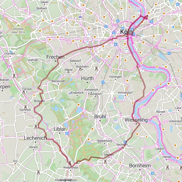
This gravel cycling route offers a thrilling exploration of Cologne's surrounding areas, with a challenging ascent of 335 meters and a distance of 75 kilometers. Ideal for adventurous cyclists, the route passes through various terrains, providing a unique and exciting cycling experience. Highlights along the route include Cologne, Südbrücke, Wesseling, Schneeberg, Brüggen, Hohenzollernbrücke, and Deutz.
gravel
75 km
335 m
Tough
Route profile
Highlights on the route
0 km
0 km
Start: Locality centerMülheim: Moderate cycling options in Mülheim, Köln, Germany.
Mülheim in Köln, Germany offers moderate cycling options. The roads are generally flat and suitable for casual rides. While there are no prominent cycling spots or well-known climbs in the area, it can still be a pleasant place for leisurely cycling. It is not a prime destination for road or gravel cyclists, but can be enjoyable for a relaxed ride.5 km
5 km
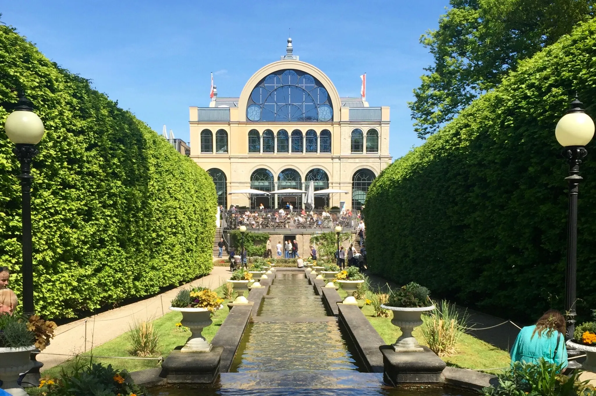
CologneCityCologne: Discover the historic city of Cologne, with its iconic landmarks, including the Cologne Cathedral.
8 km
8 km
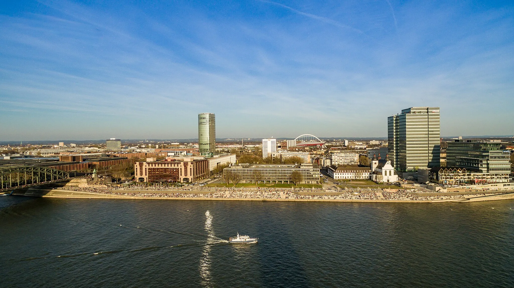
SüdbrückeViewpointSüdbrücke: Cross the impressive Südbrücke, a major bridge over the Rhine River that offers stunning panoramic views.
20 km
20 km
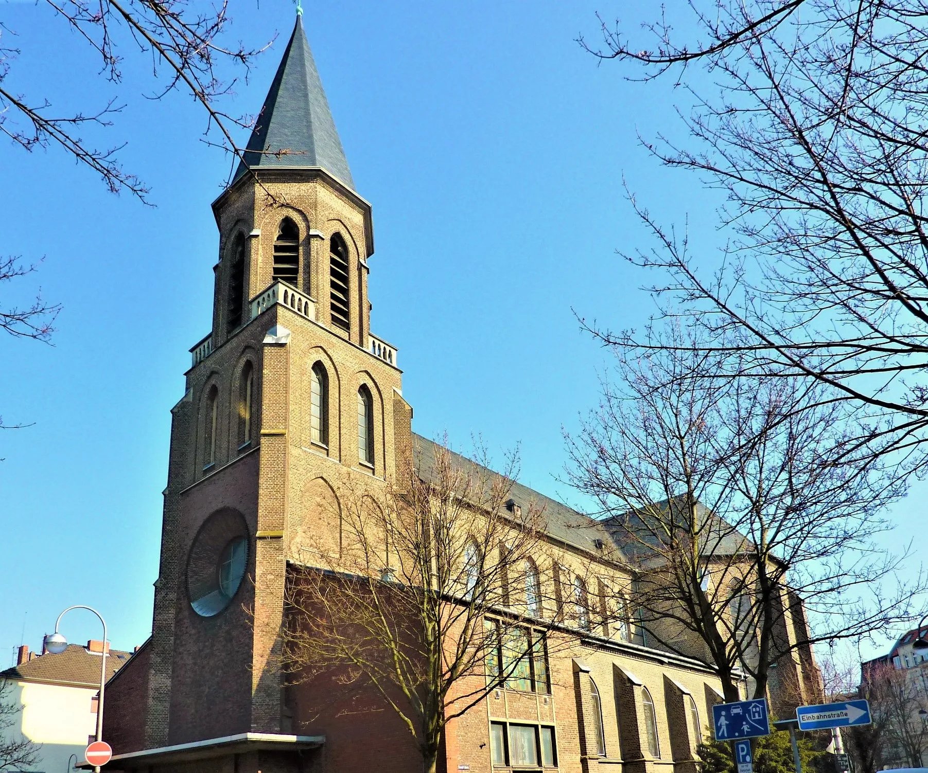
WesselingTownWesseling: Experience the scenic landscapes and charming atmosphere of Wesseling during your journey.
29 km
29 km
Schneeberg150 mPeakSchneeberg: Enjoy the exhilarating ride through the beautiful Schneeberg region, known for its natural beauty.
49 km
49 km
BrüggenVillageBrüggen: Explore this unique area and discover its hidden gems, including picturesque landscapes and quaint villages.
71 km
71 km
HohenzollernbrückeViewpointHohenzollernbrücke: Cycle across the iconic Hohenzollern Bridge, a symbol of Cologne connecting the city center to the Deutz district.
71 km
71 km
DeutzSub-urbDeutz: Visit Deutz, on the other side of the Rhine River, and take in its rich history and cultural landmarks.
75 km
75 km
Finish: Locality centerMülheim: Moderate cycling options in Mülheim, Köln, Germany.
Cycling routes from Muelheim:
Road Cycling Route: Mülheim Loop Gravel Ride to Cologne through Frechen Gravel Cycling Route: Cologne Adventure Gravel Adventure: Mülheim and Beyond Road Cycling Adventure: Mülheim to Cologne Challenging Road Loop: Mülheim Explorer Road Cycling Route: Cologne Adventure Road Cycling Route: Scenic Aggertal Gravel Cycling Route: Industrial History Challenging Gravel Loop: Mülheim Explorer
Cycling routes nearby: