Road Cycling Route: Mülheim Loop
A road cycling route starting from Muelheim
A scenic loop starting in Mülheim and passing through popular areas in Cologne.
Map
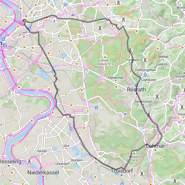
This road cycling route offers a delightful journey through various neighborhoods in Cologne. With a moderate ascent of 288 meters and a distance of 58 kilometers, it is well-suited for avid cyclists looking for a challenging yet enjoyable ride. The route features several highlights, including Holweide, zur Stadt Köln, Rösrath, Moltkeberg, Spich, Porz, and Höhenberg.
road
58 km
288 m
Tough
Route profile
Highlights on the route
0 km
0 km
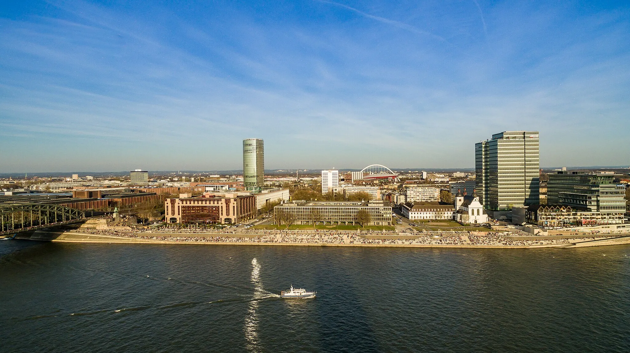
Start: Locality centerMülheim: Moderate cycling options in Mülheim, Köln, Germany.
Mülheim in Köln, Germany offers moderate cycling options. The roads are generally flat and suitable for casual rides. While there are no prominent cycling spots or well-known climbs in the area, it can still be a pleasant place for leisurely cycling. It is not a prime destination for road or gravel cyclists, but can be enjoyable for a relaxed ride.3 km
3 km
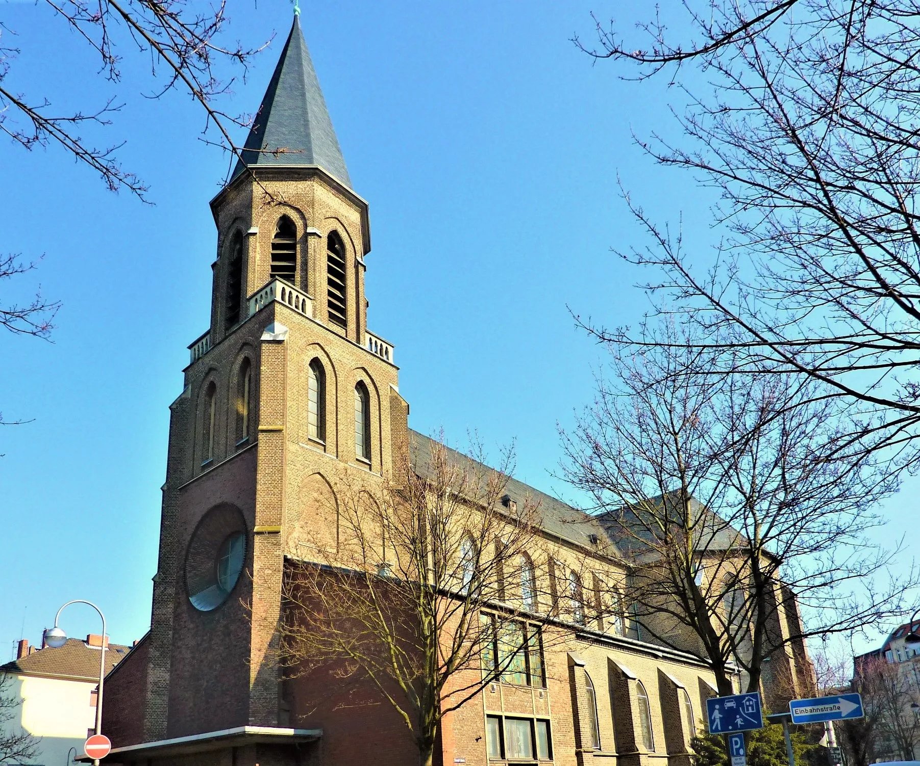
HolweideSub-urbHolweide: Enjoy a picturesque view of the surrounding landscape from the Holweide area.
12 km
12 km
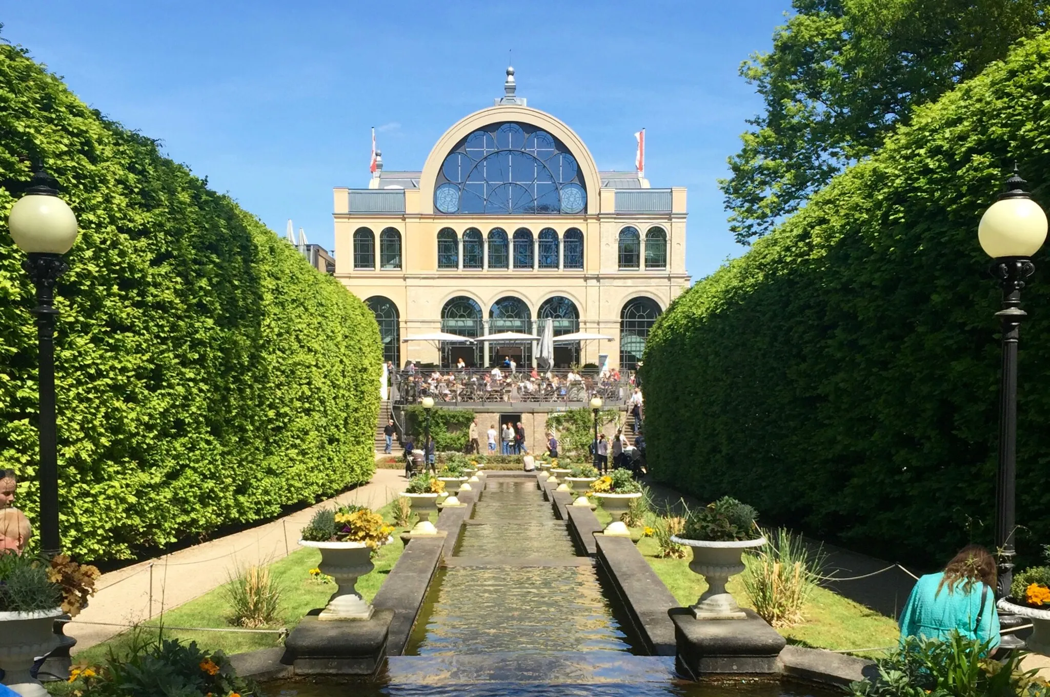
zur Stadt KölnViewpointzur Stadt Köln: Take a break near the vibrant city center of Cologne, known for its cultural attractions.
21 km
21 km
RösrathTownRösrath: Ride through this charming town and explore its historical architecture.
31 km
31 km
Moltkeberg119 mPeakMoltkeberg: Marvel at the stunning views from the top of Moltkeberg, one of the highest points in the area.
37 km
37 km
SpichSub-urbSpich: Discover the beauty of Spich, a region rich in natural landscapes.
46 km
46 km
PorzSub-urbPorz: Admire the architectural heritage of Porz, known for its captivating variety of building styles and structures.
54 km
54 km
HöhenbergSub-urbHöhenberg: Pass through Höhenberg and enjoy its serene atmosphere and lush greenery.
58 km
58 km
Finish: Locality centerMülheim: Moderate cycling options in Mülheim, Köln, Germany.
Cycling routes from Muelheim:
Road Cycling Route: Mülheim Loop Gravel Ride to Cologne through Frechen Gravel Cycling Route: Cologne Adventure Gravel Adventure: Mülheim and Beyond Road Cycling Adventure: Mülheim to Cologne Challenging Road Loop: Mülheim Explorer Road Cycling Route: Cologne Adventure Road Cycling Route: Scenic Aggertal Gravel Cycling Route: Industrial History Challenging Gravel Loop: Mülheim Explorer
Cycling routes nearby: