Road Cycling Route: Scenic Aggertal
A road cycling route starting from Muelheim
An epic road cycling route taking you through the picturesque Aggertal region.
Map
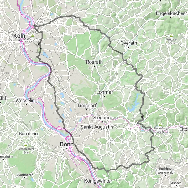
This road cycling route offers a challenging and epic adventure through the stunning Aggertal region. With an ascent of 1188 meters and a distance of 116 kilometers, this route is recommended for experienced cyclists looking for a truly memorable ride. Highlights along the route include Grube Cox, Schloss Bensberg, Aggertal, Neunkirchen, Giersberg, Heisterbacherrott, Stenzelberg, Ennert, Libur, and Vingst.
road
116 km
1188 m
Savage
Route profile
Highlights on the route
0 km
0 km
Start: Locality centerMülheim: Moderate cycling options in Mülheim, Köln, Germany.
Mülheim in Köln, Germany offers moderate cycling options. The roads are generally flat and suitable for casual rides. While there are no prominent cycling spots or well-known climbs in the area, it can still be a pleasant place for leisurely cycling. It is not a prime destination for road or gravel cyclists, but can be enjoyable for a relaxed ride.11 km
11 km
Grube CoxViewpointGrube Cox: Explore the fascinating Grube Cox, a former coal mine that now offers a variety of recreational activities and historical insights.
13 km
13 km
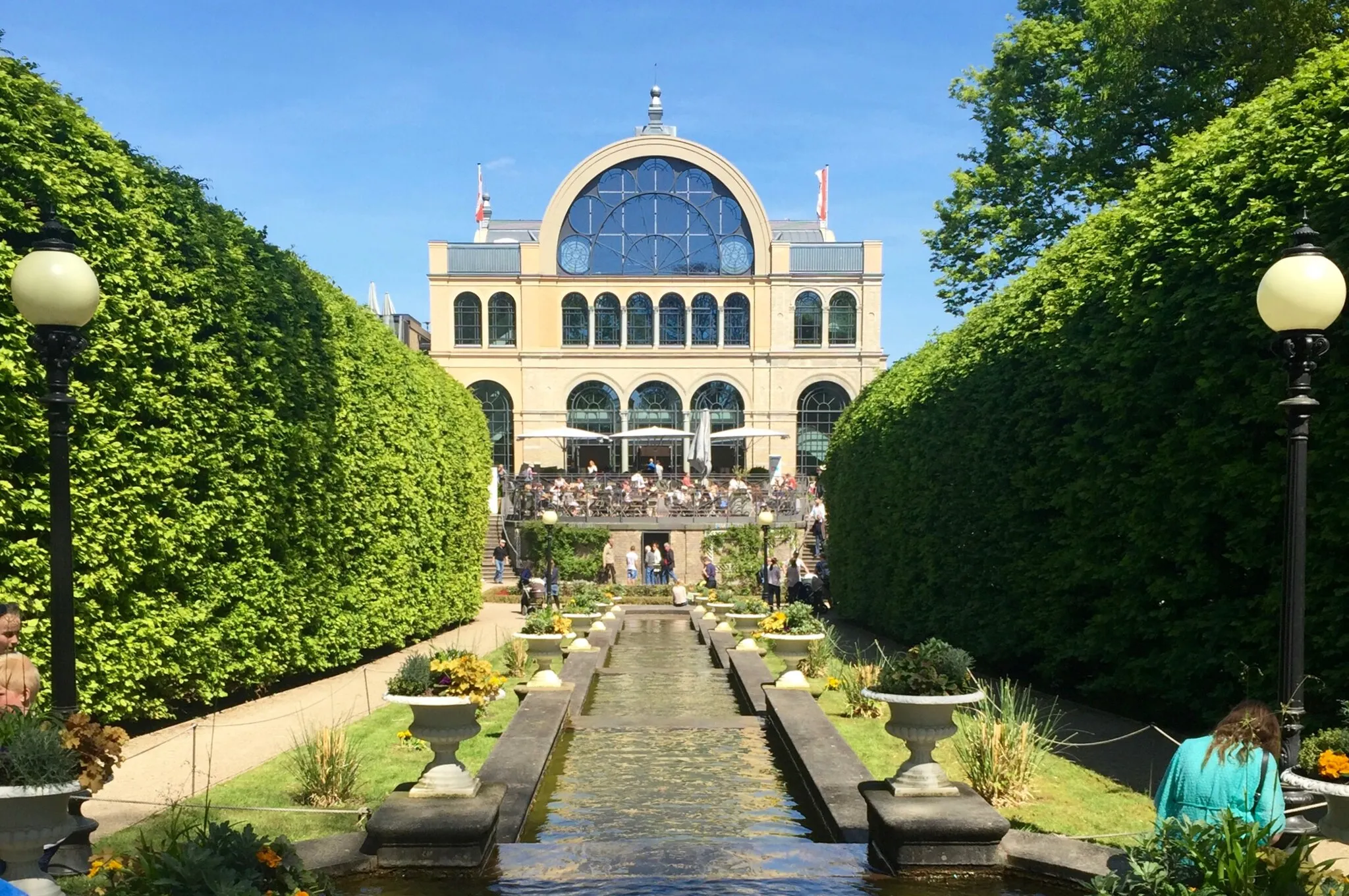
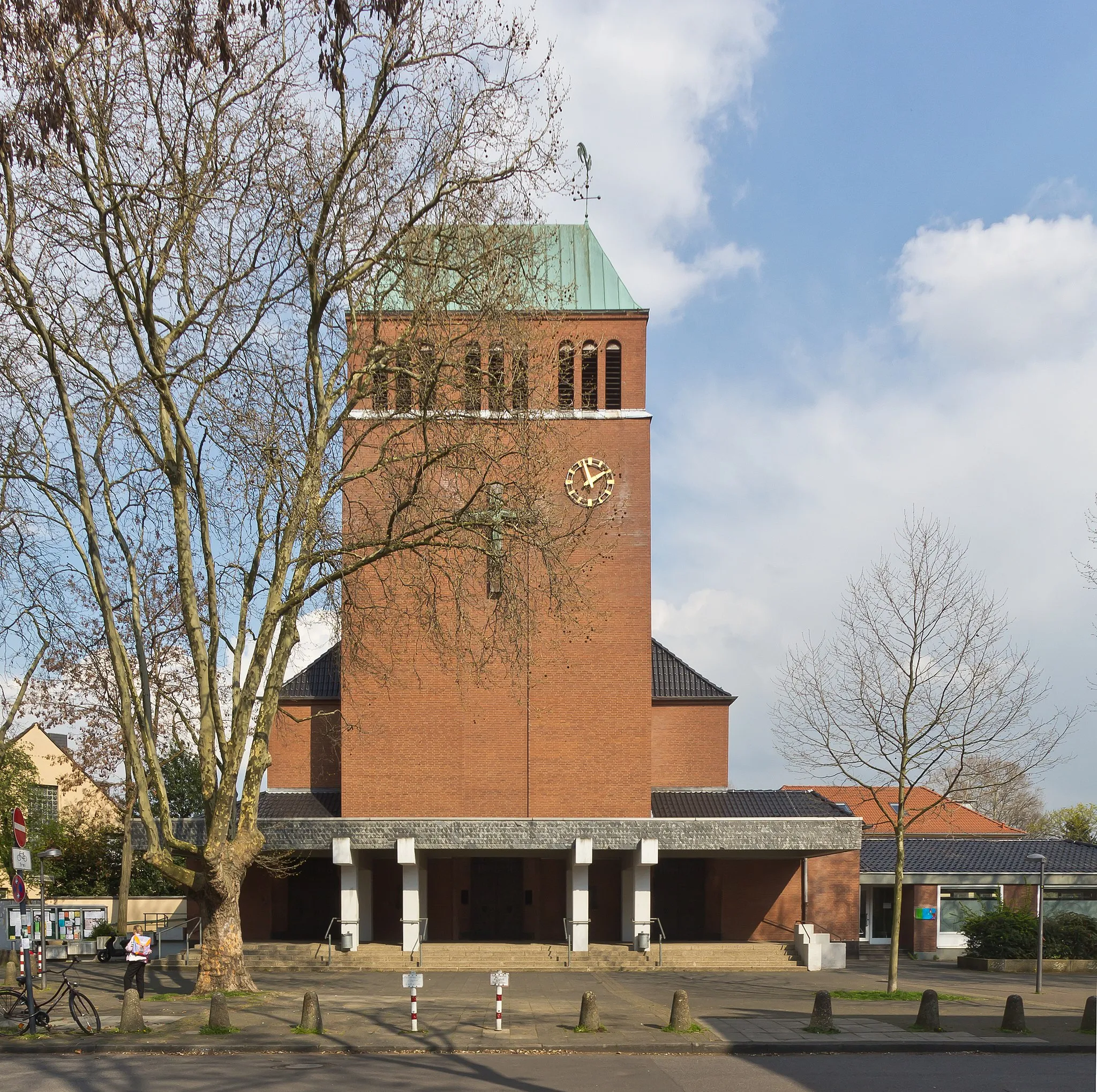
Schloss BensbergCastleSchloss Bensberg: Marvel at the enchanting Schloss Bensberg, a majestic castle that overlooks the surrounding landscapes.
26 km
26 km
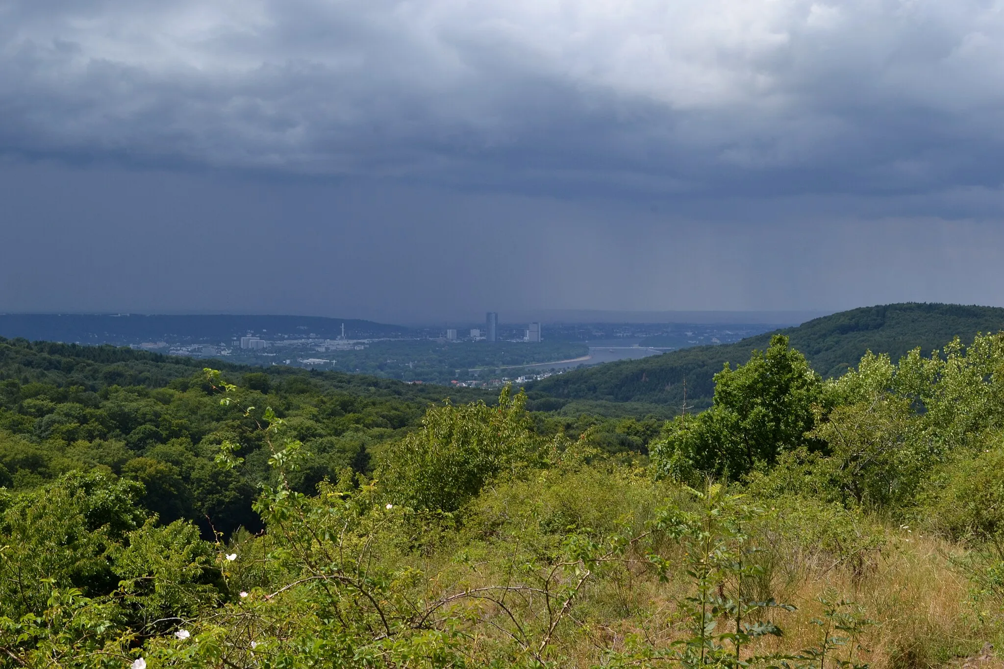
AggertalViewpointAggertal: Ride through the idyllic Aggertal region, known for its beautiful scenery, charming villages, and rich cultural heritage.
39 km
39 km
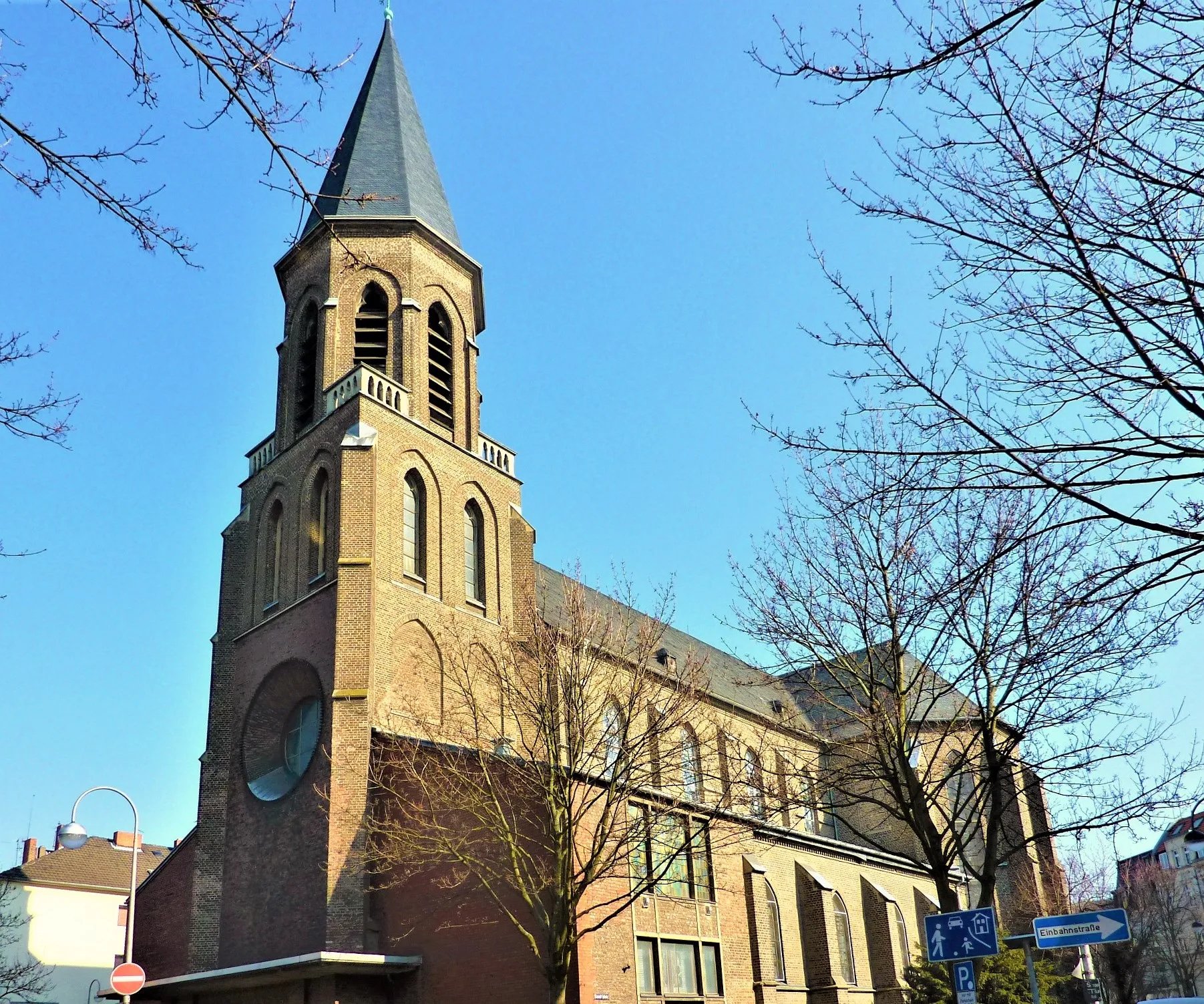
NeunkirchenVillageNeunkirchen: Discover the captivating beauty of Neunkirchen, a picturesque town with charming streets and historical architecture.
47 km
47 km
Giersberg175 mPeakGiersberg: Ascend Giersberg and be rewarded with breathtaking views of the surrounding mountain landscapes.
71 km
71 km
HeisterbacherrottVillageHeisterbacherrott: Cycle through Heisterbacherrott, a serene village with a tranquil atmosphere and access to beautiful nature trails.
72 km
72 km
Stenzelberg287 mPeakStenzelberg: Take in the panoramic vistas from Stenzelberg, offering sweeping views of the Aggertal and beyond.
79 km
79 km
Ennert152 mPeakEnnert: Explore the Ennert nature reserve, famed for its diverse flora and fauna, elegant woodland trails, and peaceful atmosphere.
95 km
95 km
LiburVillageLibur: Discover the charm of Libur, a small village with a rich history and idyllic landscapes.
110 km
110 km
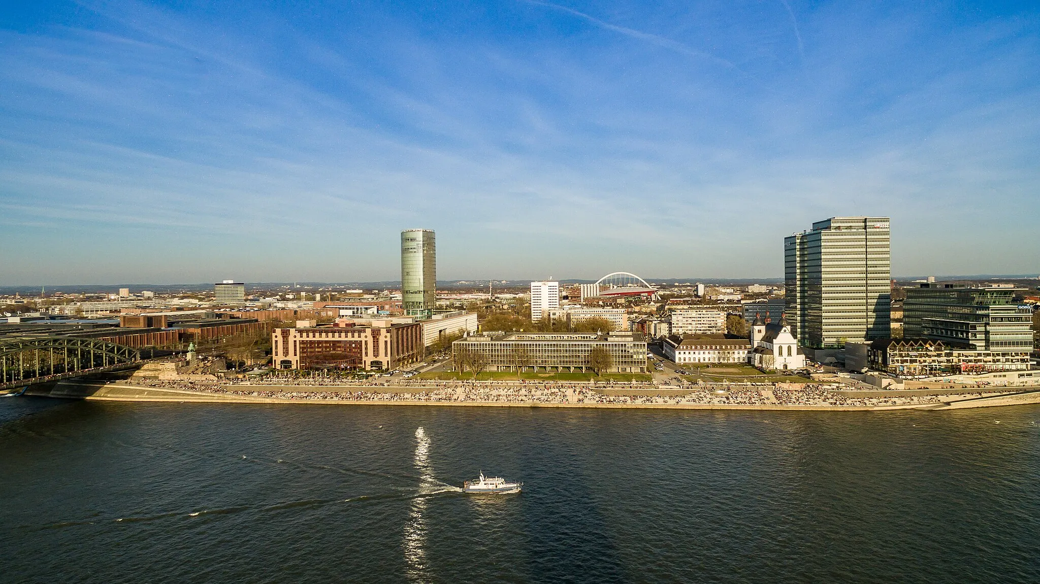
VingstSub-urbVingst: Conclude your adventure in Vingst, a vibrant neighborhood with welcoming cafes and local attractions.
116 km
116 km
Finish: Locality centerMülheim: Moderate cycling options in Mülheim, Köln, Germany.
Cycling routes from Muelheim:
Road Cycling Route: Mülheim Loop Gravel Ride to Cologne through Frechen Gravel Cycling Route: Cologne Adventure Gravel Adventure: Mülheim and Beyond Road Cycling Adventure: Mülheim to Cologne Challenging Road Loop: Mülheim Explorer Road Cycling Route: Cologne Adventure Road Cycling Route: Scenic Aggertal Gravel Cycling Route: Industrial History Challenging Gravel Loop: Mülheim Explorer
Cycling routes nearby: