Gravel Adventure through Troodelöh and Altenrath
A gravel cycling route starting from Ostheim
Explore the gravel roads of Monte Troodelöh and Altenrath
Map

Embark on an exciting gravel adventure with this route, covering a distance of 72 km and an elevation gain of 815 m. Start your journey near Ostheim and make your way to Monte Troodelöh, a unique highlight on the route. Enjoy the challenging ascent and the stunning views from the top. Continue your journey through the picturesque village of Untereschbach and the scenic Landwehr area. As you approach Hohnsberg and Hundsberg, take some time to appreciate the peaceful surroundings. Don't miss the historic Pillenhof and the beauty of Altenrath before returning to your starting point near Ostheim.
gravel
72 km
815 m
Tough
Route profile
Highlights on the route
0 km
0 km
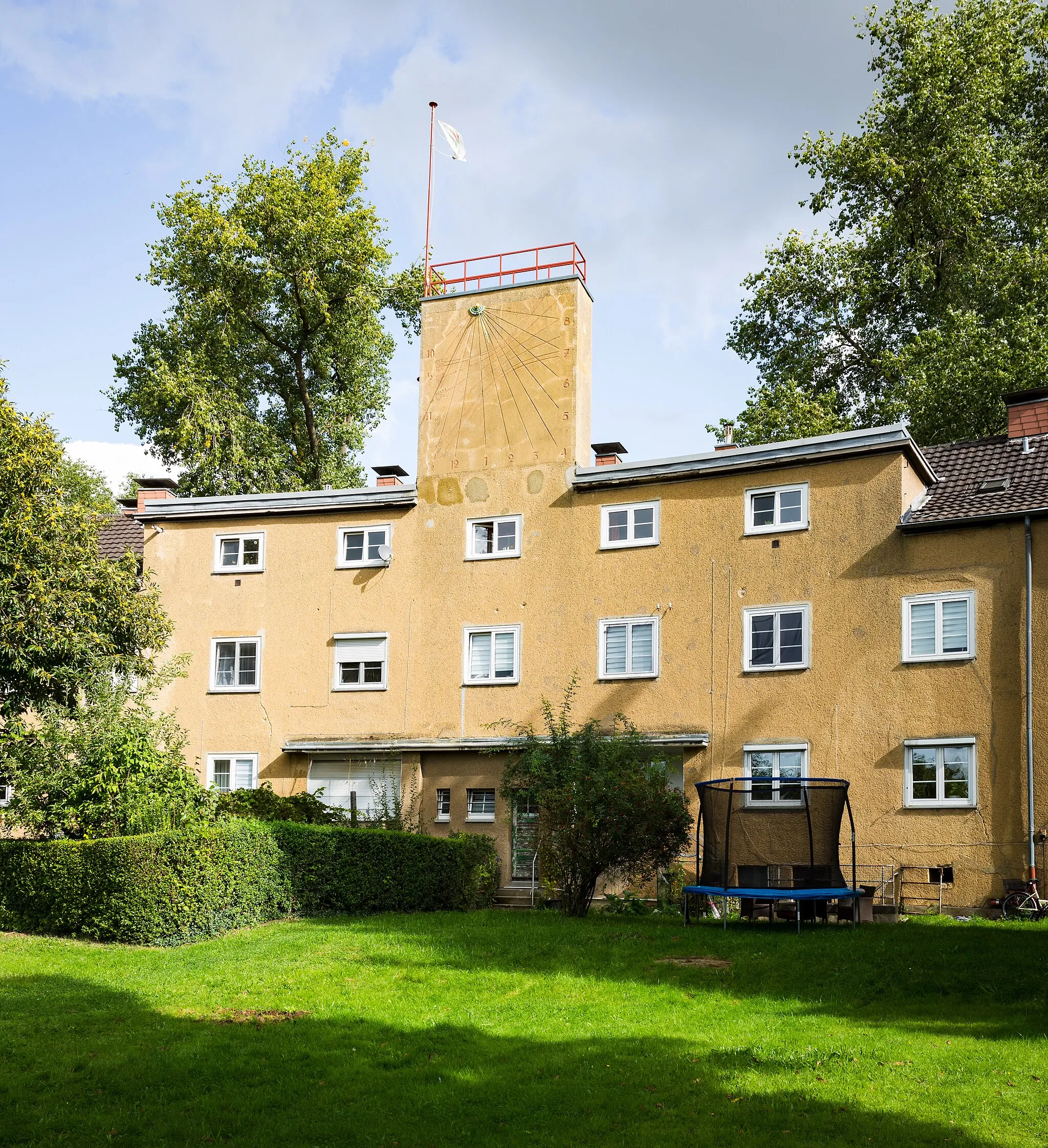
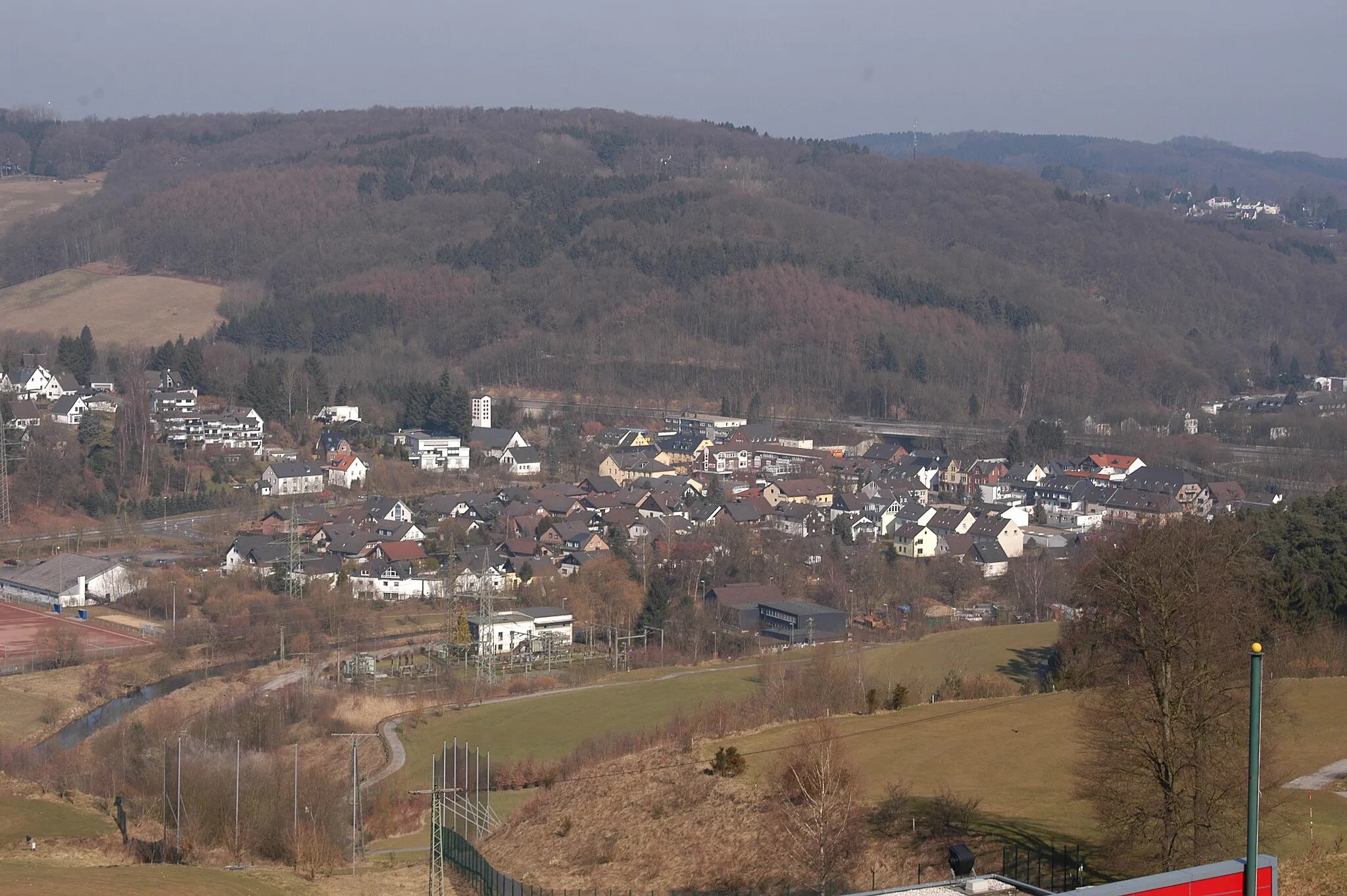
Start: Locality centerOstheim: Cyclist-friendly area with stunning parks
Ostheim is a locality in Cologne, Germany. From a cyclist's perspective, Ostheim offers a mix of urban and suburban cycling routes. Cyclists can enjoy well-maintained roads and bike paths, providing a convenient riding experience. Nearby, there are several beautiful parks and green spaces, such as the Klingerhuf Park, perfect for leisurely rides. Ostheim is also known for its proximity to the famous climb of Côte de Enchwarzwald, offering a challenge to more experienced cyclists. Overall, Ostheim is a cyclist-friendly area with plenty of amenities and attractions.8 km
8 km
Monte Troodelöh118 mPeakMonte Troodelöh offers a challenging climb but rewards you with spectacular views over the surrounding countryside.
14 km
14 km
UntereschbachVillageUntereschbach village charms cyclists with its beautiful architecture and tranquil atmosphere.
26 km
26 km
LandwehrHamletThe Landwehr area impresses with its picturesque landscapes and stunning natural beauty.
29 km
29 km
Hohnsberg301 mPeakHohnsberg is a hill that provides an excellent vantage point to experience breathtaking panoramic views.
35 km
35 km
Hundsberg246 mPeakRide through the peaceful Hundsberg and enjoy the serene surroundings along the way.
38 km
38 km
PillenhofHamletPillenhof is a historical site that offers an interesting glimpse into the past.
54 km
54 km
AltenrathSub-urbAltenrath showcases charming architecture and picturesque views, making it an ideal spot for a quick break.
55 km
55 km
Hohe Schanze127 mPeakHohe Schanze offers cyclists a chance to experience a challenging climb and impressive vistas.
66 km
66 km
FinkenbergSub-urbFinkenberg is a highlight that captivates riders with its stunning natural beauty and serene surroundings.
72 km
72 km
Finish: Locality centerOstheim: Cyclist-friendly area with stunning parks
Cycling routes from Ostheim:
Gravel Ride through Kalkberg and Dreizehn-Linden-Platz Exploring the Reichsburgberg Gravel Paradise in Bergisches Land Scenic Gravel Ride to Kalkberg and Deutz Gravel Adventure through Troodelöh and Altenrath Gravel Journey through Finkenberg and Bornheim Countryside Charm of Südbrücke Road Cycling Excursion to Cologne and Frechen Rösrath to Südbrücke Loop Dellbrück to Rath Loop
Cycling routes nearby: