Exploring the Reichsburgberg
A road cycling route starting from Ostheim
Embark on a road cycling journey through the scenic surroundings of Ostheim and discover the hidden gems of Reichsburgberg.
Map
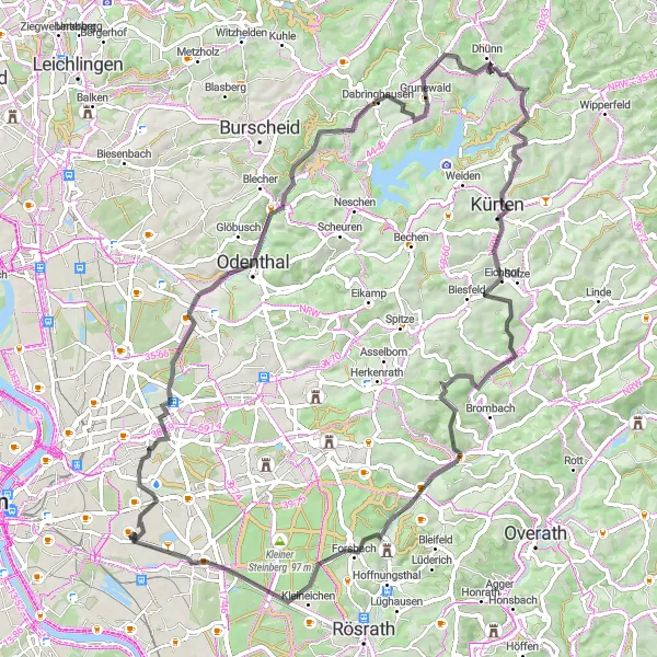
This road cycling route takes you through the stunning landscapes of Reichsburgberg, providing panoramic views and challenging climbs for a more experienced cyclist. The route rewards your efforts with breathtaking vistas and the chance to explore charming villages along the way.
road
77 km
858 m
Tough
Route profile
Highlights on the route
0 km
0 km
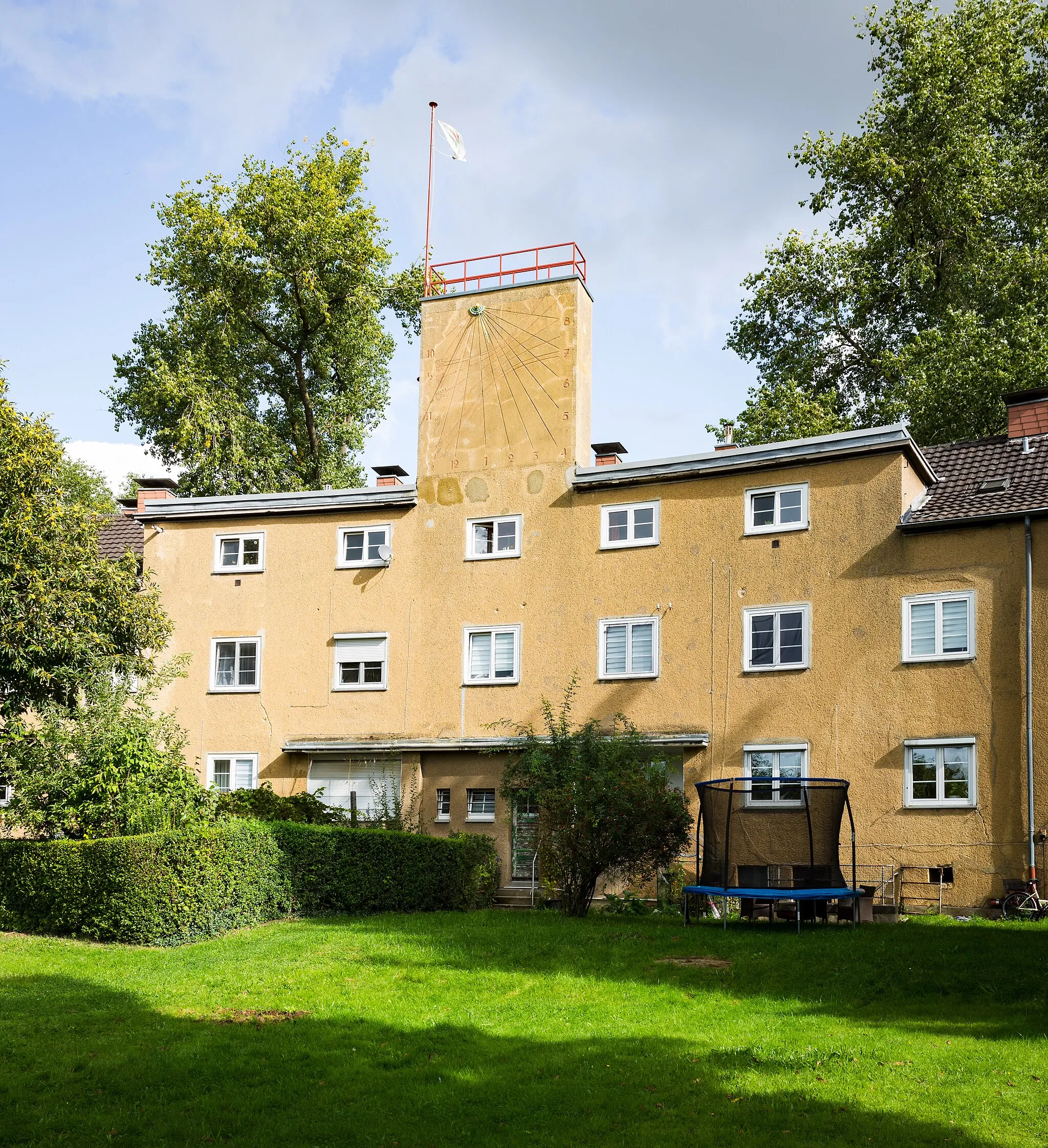
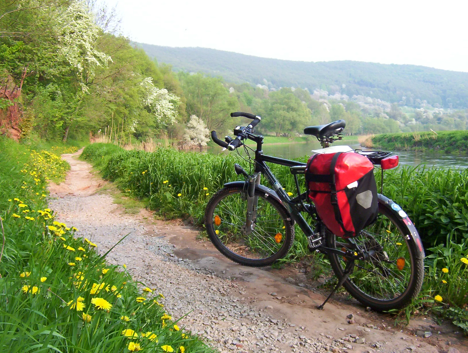
Start: Locality centerOstheim: Cyclist-friendly area with stunning parks
Ostheim is a locality in Cologne, Germany. From a cyclist's perspective, Ostheim offers a mix of urban and suburban cycling routes. Cyclists can enjoy well-maintained roads and bike paths, providing a convenient riding experience. Nearby, there are several beautiful parks and green spaces, such as the Klingerhuf Park, perfect for leisurely rides. Ostheim is also known for its proximity to the famous climb of Côte de Enchwarzwald, offering a challenge to more experienced cyclists. Overall, Ostheim is a cyclist-friendly area with plenty of amenities and attractions.8 km
8 km
DellbrückSub-urbDellbrück is home to a peaceful, tree-lined avenue that is perfect for a scenic stop. Take a moment to soak in the peaceful atmosphere before continuing on your road cycling journey.
16 km
16 km
OdenthalTownOdenthal is a quintessential German village known for its charming half-timbered houses and lush green surroundings. Explore the town's rich history and enjoy the peaceful countryside views during your visit.
18 km
18 km
Hoheberg185 mPeakHoheberg is a picturesque hillside village that offers stunning panoramic views of the surrounding landscapes. Take a break and enjoy the serene atmosphere before conquering the next climb.
27 km
27 km
PlettenburgHamletPlettenburg is a hidden gem nestled amidst the rolling hills of Bergisches Land. Enjoy the quiet roads and take in the beauty of the natural surroundings as you pass through this charming village.
43 km
43 km
KürtenTownKürten is famous for being the birthplace of legendary cyclist Walter Godefroot. Explore the town's rich cycling history and visit the memorial dedicated to this cycling icon.
44 km
44 km
Hachenbergsberg216 mPeakHachenbergsberg is a viewpoint that offers panoramic views of the surrounding landscapes. Take a break and admire the beauty of Bergisches Land from this elevated spot.
61 km
61 km
UntereschbachVillageUntereschbach is a picturesque village with charming half-timbered houses. Stroll through the village's narrow streets and immerse yourself in its rich history and architectural beauty.
67 km
67 km
Mergelsberg136 mPeakMergelsberg is a small village surrounded by lush green meadows and forests. Take a moment to relax and enjoy the tranquil atmosphere of this idyllic countryside during your cycling journey.
77 km
77 km
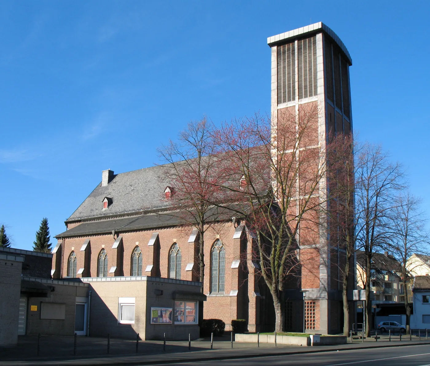
OstheimSub-urbOstheim is not only the starting point of the route, but also a village with a rich history. Visit the local church dating back to the 13th century and immerse yourself in the heritage of this charming place.
77 km
77 km
Finish: Locality centerOstheim: Cyclist-friendly area with stunning parks
Cycling routes from Ostheim:
Gravel Ride through Kalkberg and Dreizehn-Linden-Platz Exploring the Reichsburgberg Gravel Paradise in Bergisches Land Scenic Gravel Ride to Kalkberg and Deutz Gravel Adventure through Troodelöh and Altenrath Gravel Journey through Finkenberg and Bornheim Countryside Charm of Südbrücke Road Cycling Excursion to Cologne and Frechen Rösrath to Südbrücke Loop Dellbrück to Rath Loop
Cycling routes nearby: