Gravel Loop from Übach-Palenberg
A gravel cycling route starting from UEbach-Palenberg
Explore historic landmarks and natural beauty on this gravel adventure
Map
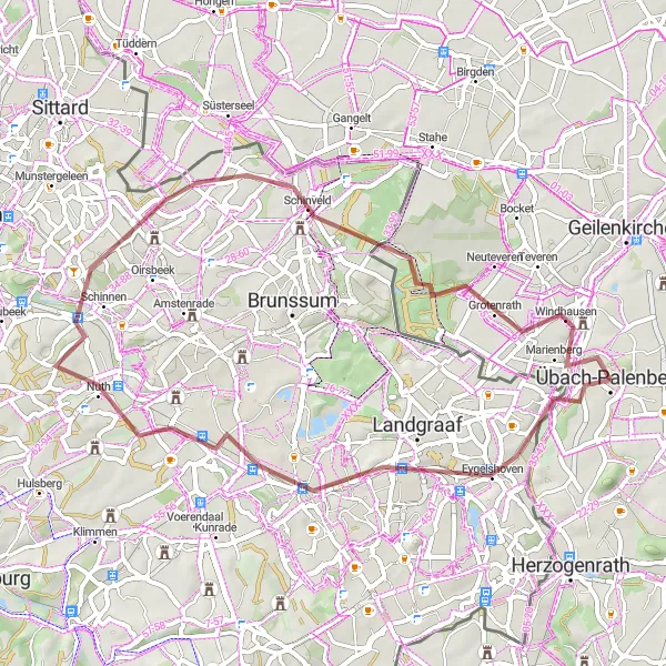
This scenic gravel loop takes you on a journey through picturesque landscapes and historic landmarks near Übach-Palenberg. With a moderate ascent of 281 meters and a distance of 49 kilometers, it is suitable for intermediate gravel riders. The route showcases highlights such as the Watertoren Rimburg and Kasteel Hoensbroek, offering unique opportunities to learn about the local history and culture.
gravel
49 km
281 m
Tough
Route profile
Highlights on the route
0 km
0 km
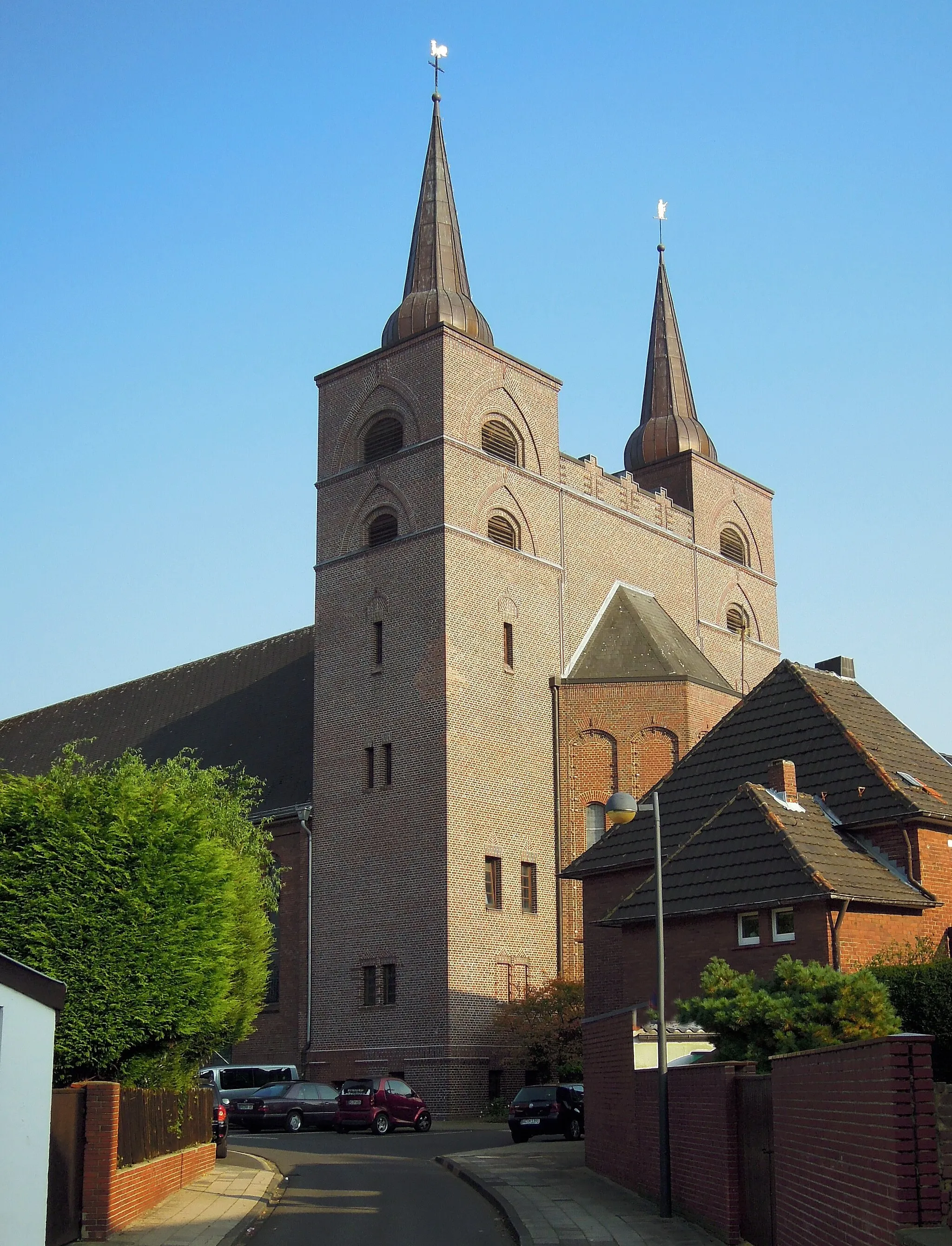
Start: Übach-Palenberg City centerÜbach-Palenberg: Discover the Beauty of German Countryside on Your Bike
Übach-Palenberg is a town located in the Köln region of Germany. From the perspective of a road and gravel cyclist, Übach-Palenberg offers a mix of flat and hilly terrain suitable for all skill levels. The region is known for its beautiful countryside and well-maintained cycling routes, making it a popular destination for both local and international cyclists. While there may not be any famous cycling spots or well-known climbs directly in Übach-Palenberg, the nearby Eifel region offers legendary climbs such as the iconic Nürburgring. Overall, Übach-Palenberg is a great destination for cyclists looking to explore the scenic beauty of Germany on two wheels.3 km
3 km
Watertoren RimburgViewpointTake a break at Watertoren Rimburg, a historic water tower offering panoramic views of the surrounding countryside.
5 km
5 km
EygelshovenVillageExplore Eygelshoven, a picturesque village known for its charming architecture and beautiful scenery.
15 km
15 km
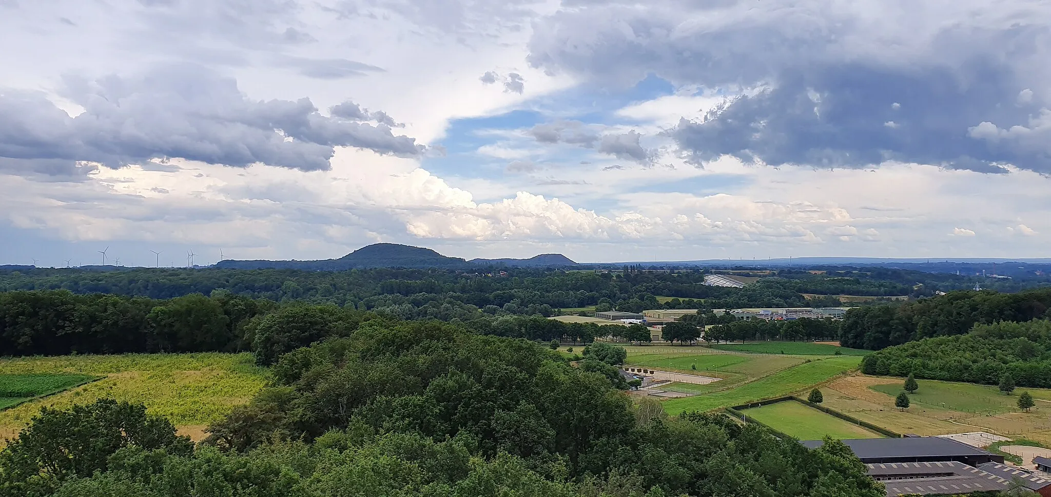
KoumenbergViewpointClimb the scenic Koumenberg, a small hill with breathtaking views over the landscape below.
17 km
17 km
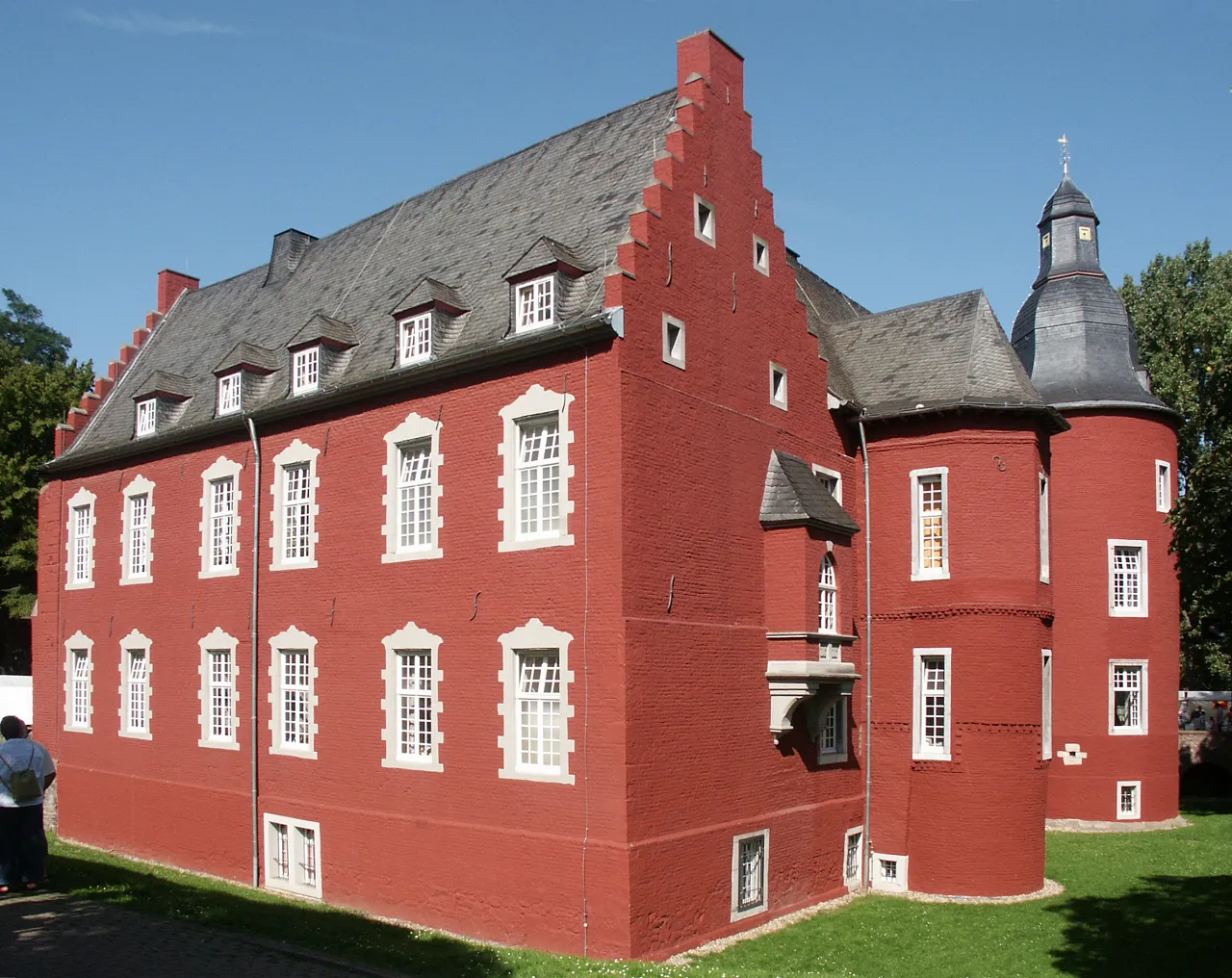
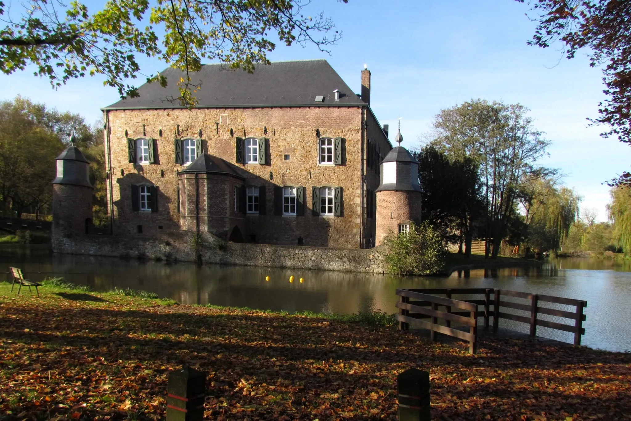
Kasteel HoensbroekCastleVisit the impressive Kasteel Hoensbroek, one of the largest castles in the Netherlands, and discover its rich history.
35 km
35 km
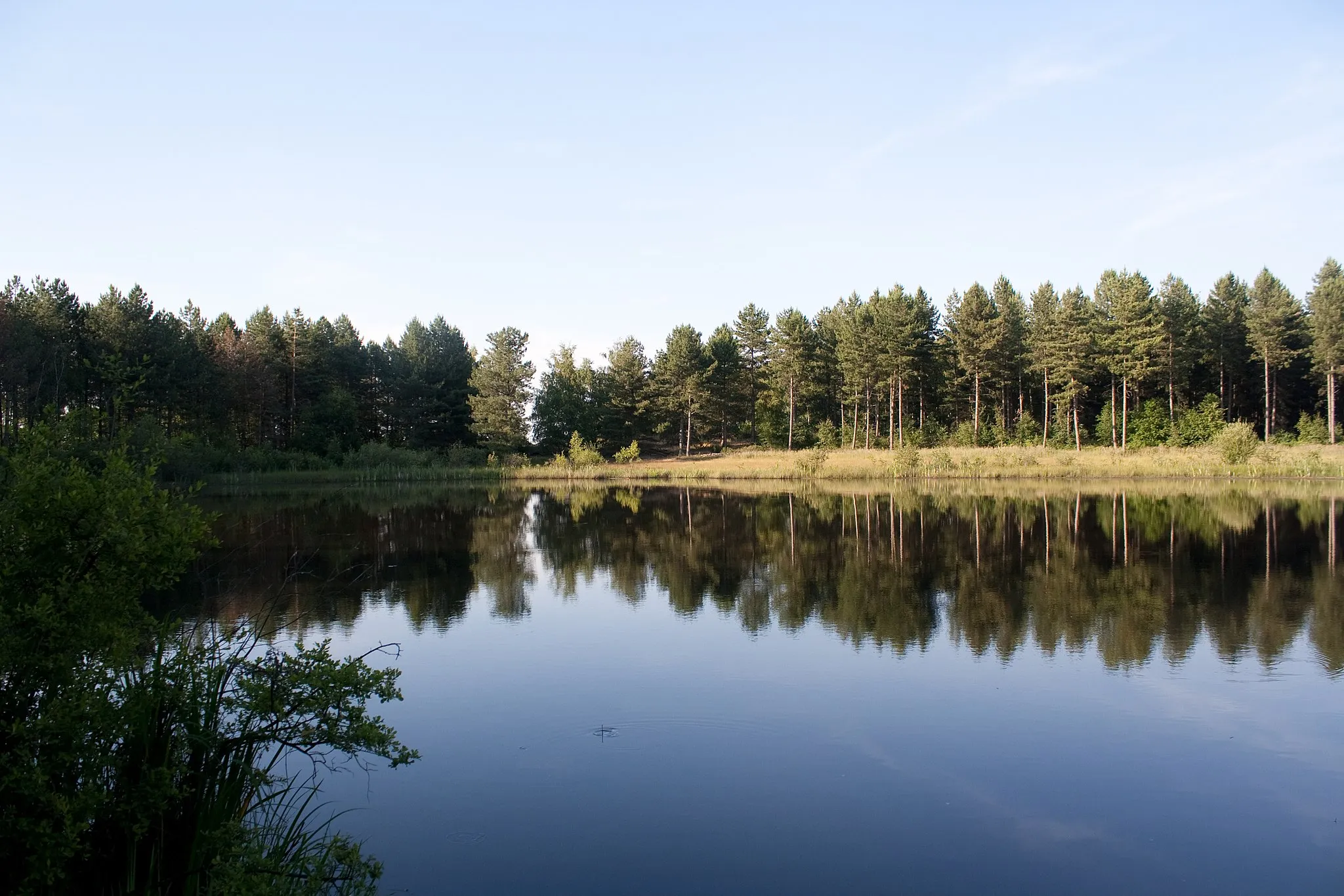
SchinveldVillageRide through Schinveld, a quaint village surrounded by beautiful forests and nature reserves.
43 km
43 km
GrotenrathVillageStop by Grotenrath, a charming hamlet known for its traditional architecture and idyllic countryside.
49 km
49 km
Bergehalde Carolus Magnus161 mPeakMarvel at the Bergehalde Carolus Magnus, a man-made hill offering panoramic views over the region.
49 km
49 km
Finish: Übach-Palenberg City centerÜbach-Palenberg: Discover the Beauty of German Countryside on Your Bike
Cycling routes from UEbach-Palenberg:
Cycling routes nearby: