The Road Challenge
A road cycling route starting from UEbach-Palenberg
Embark on a road cycling adventure through Übach-Palenberg's scenic routes
Map
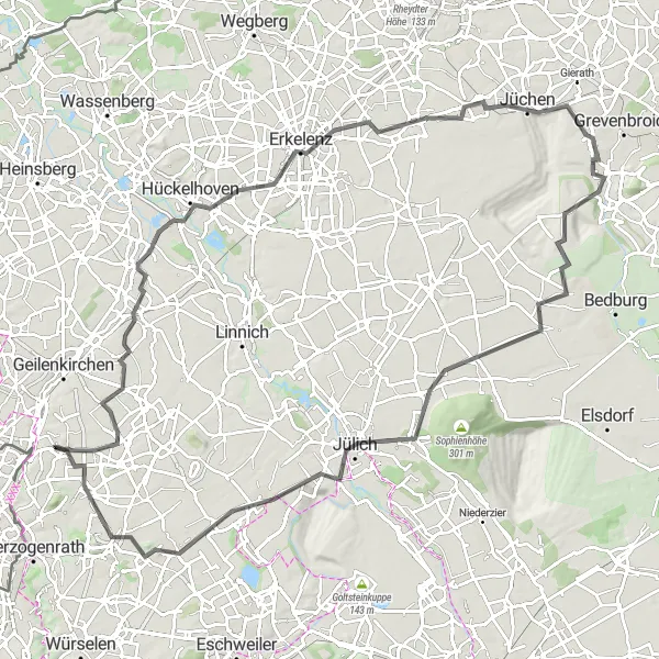
The road cycling routes around Übach-Palenberg are perfect for riders seeking a mix of picturesque landscapes and challenging climbs. This 106 km route features a total ascent of 394 meters, making it suitable for experienced amateur cyclists. Highlights include the iconic Bergehalde Carolus Magnus and the breathtaking viewpoints near Tagebau Garzweiler. Passing through charming towns like Erkelenz and Jülich, this route offers a glimpse into the history and culture of the region. With its combination of stunning views and challenging terrain, this road cycling route is both epic and rewarding.
road
106 km
394 m
Tough
Route profile
Highlights on the route
0 km
0 km
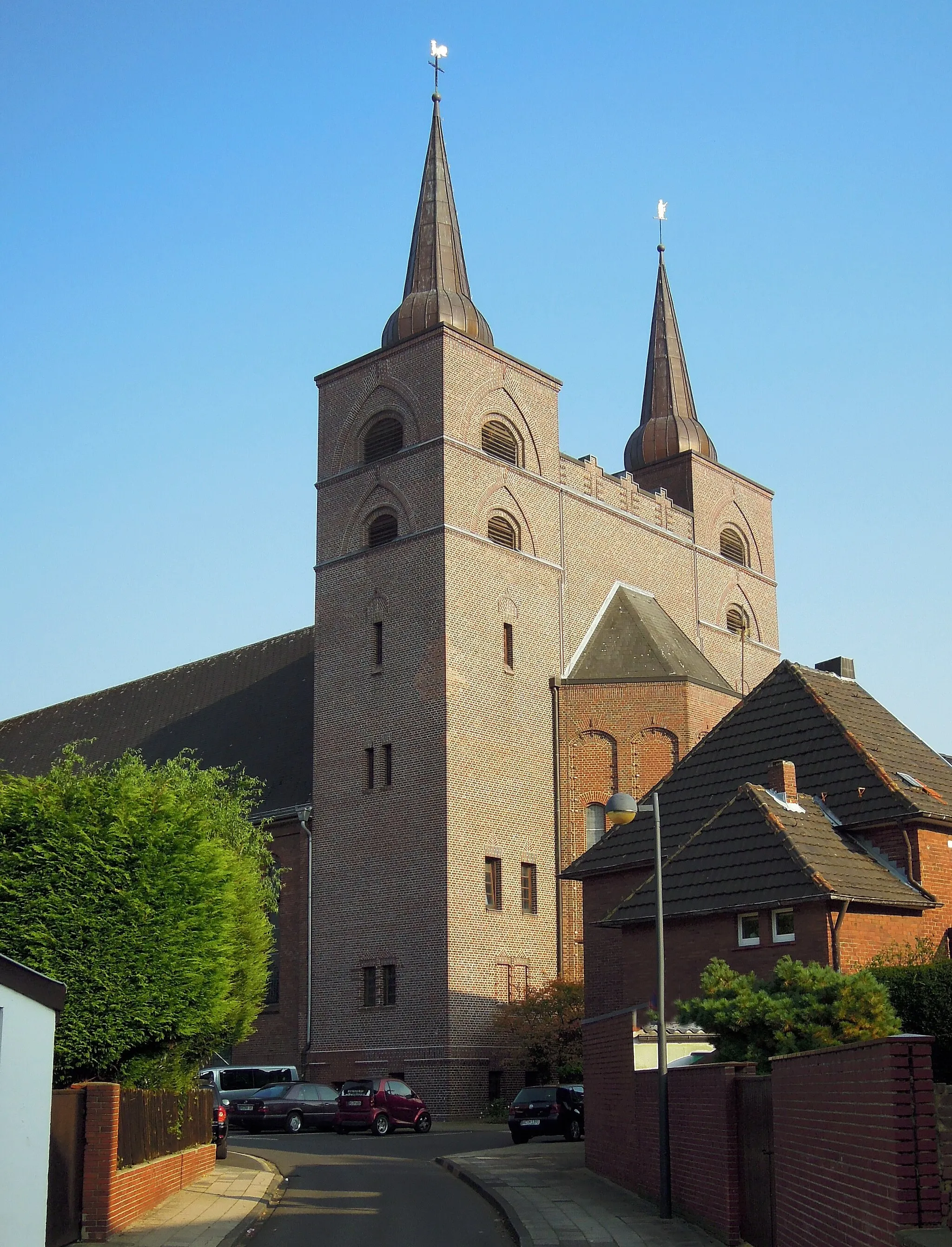
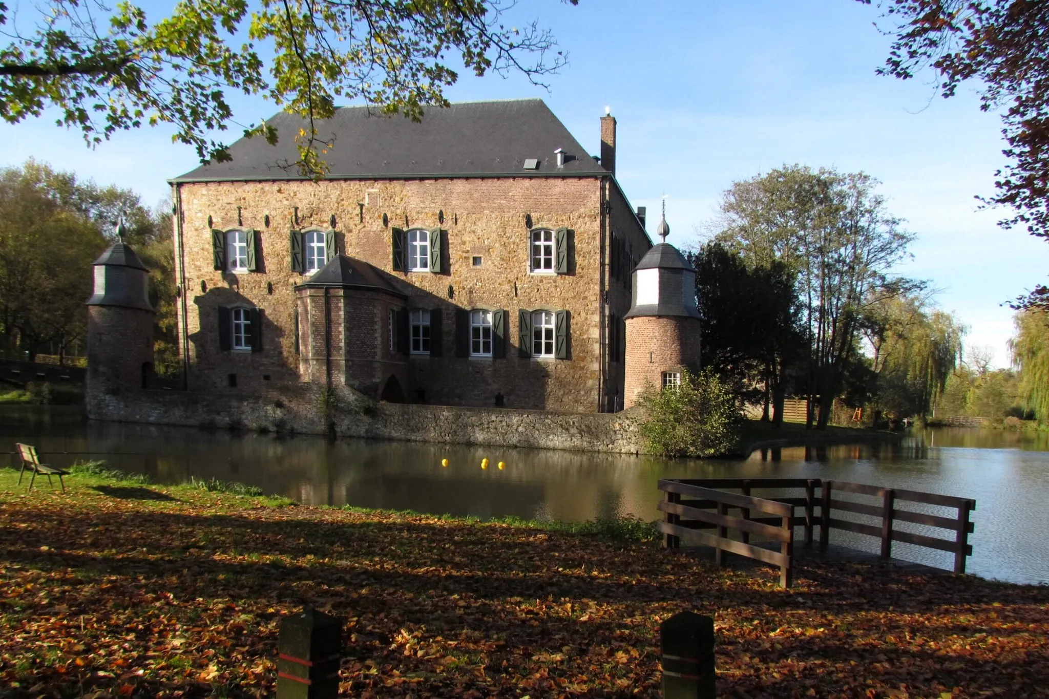
Start: Übach-Palenberg City centerÜbach-Palenberg: Discover the Beauty of German Countryside on Your Bike
Übach-Palenberg is a town located in the Köln region of Germany. From the perspective of a road and gravel cyclist, Übach-Palenberg offers a mix of flat and hilly terrain suitable for all skill levels. The region is known for its beautiful countryside and well-maintained cycling routes, making it a popular destination for both local and international cyclists. While there may not be any famous cycling spots or well-known climbs directly in Übach-Palenberg, the nearby Eifel region offers legendary climbs such as the iconic Nürburgring. Overall, Übach-Palenberg is a great destination for cyclists looking to explore the scenic beauty of Germany on two wheels.0 km
0 km
Bergehalde Carolus Magnus161 mPeakMarvel at the striking Bergehalde Carolus Magnus, a symbol of the region's mining heritage.
16 km
16 km
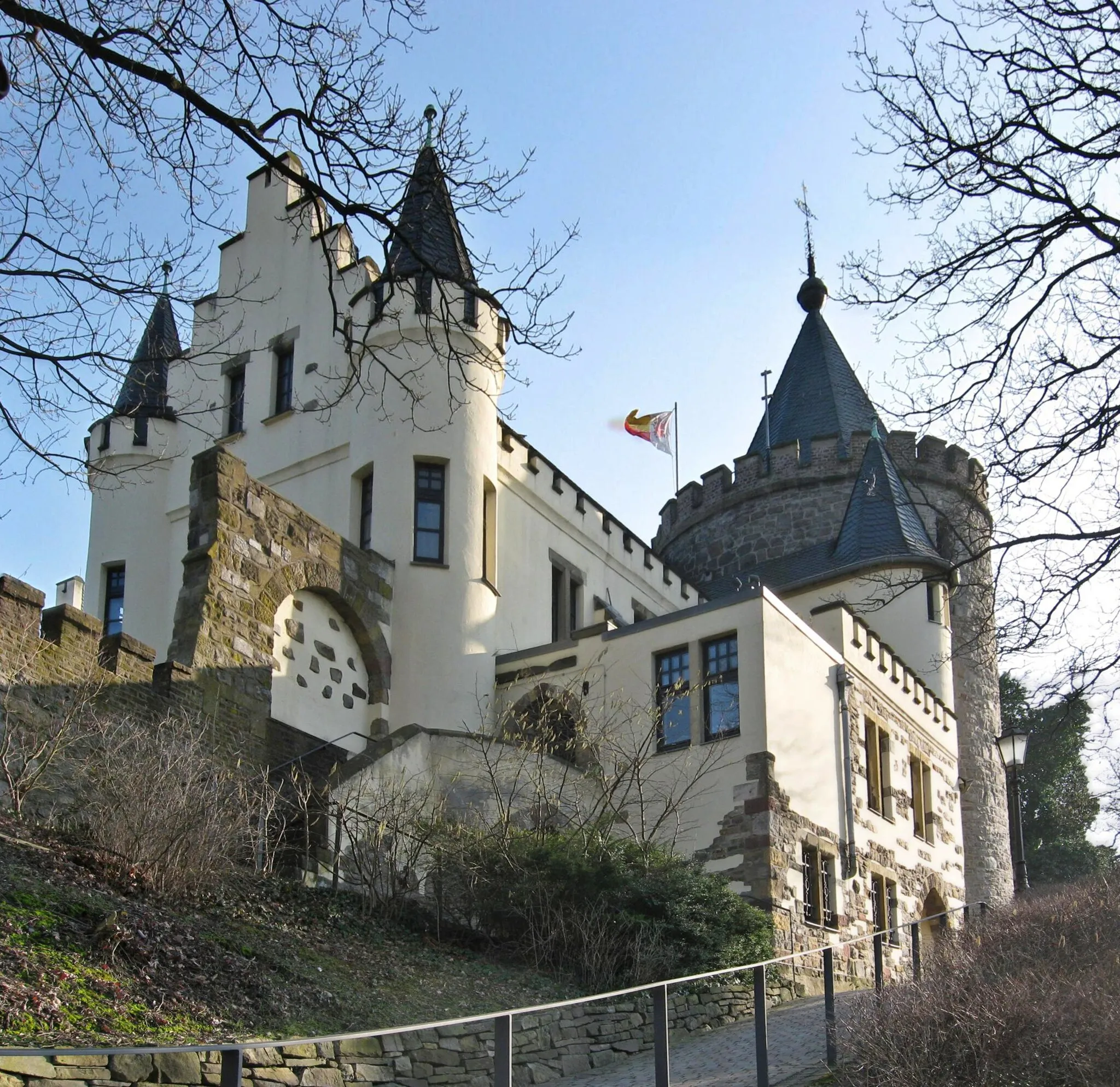
RanderathVillageVisit the picturesque town of Randerath and soak in the tranquility of its surroundings.
29 km
29 km
ErkelenzTownCycle through the historic town of Erkelenz, known for its charming architecture.
40 km
40 km
Aussichtspunkt Tagebau GarzweilerViewpointEnjoy breathtaking panoramic views from the Aussichtspunkt Tagebau Garzweiler.
62 km
62 km
KönigshovenSub-urbDiscover the beauty of Königshoven and its captivating landmarks.
80 km
80 km
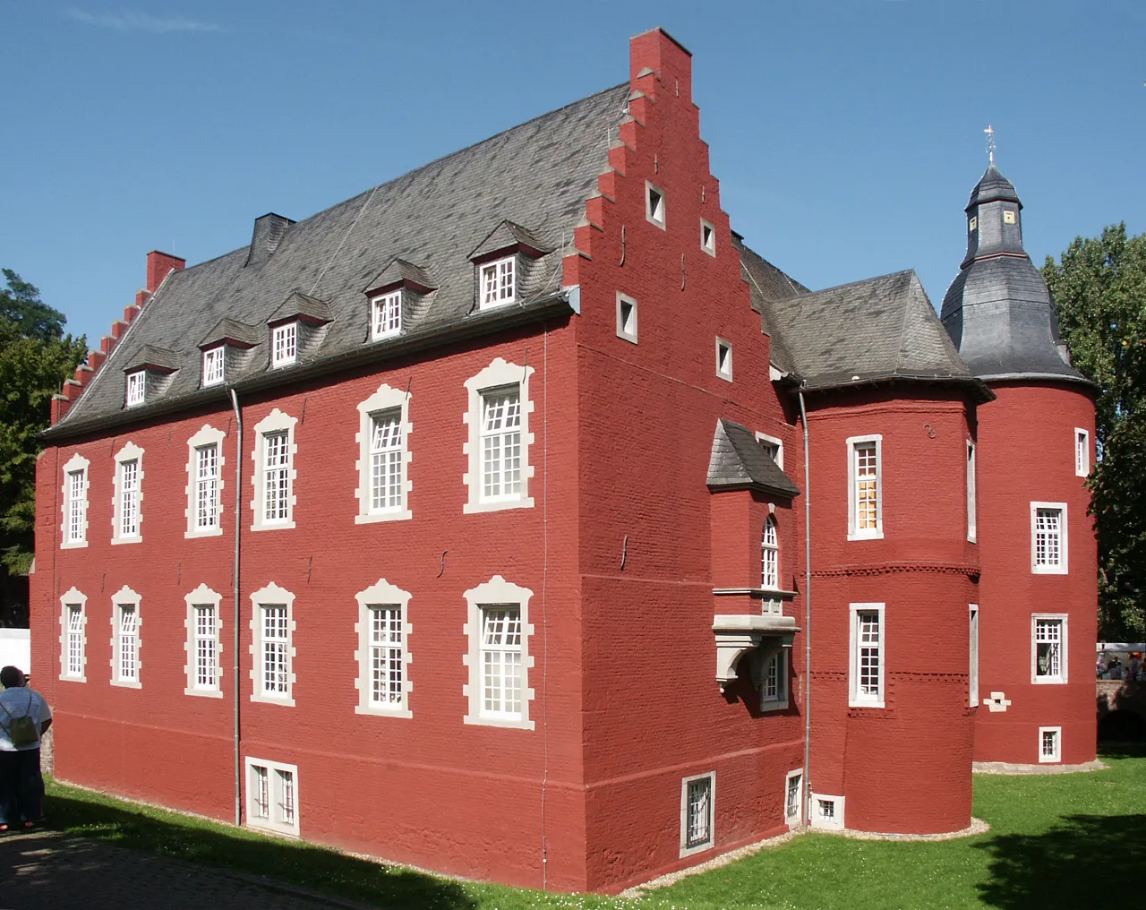
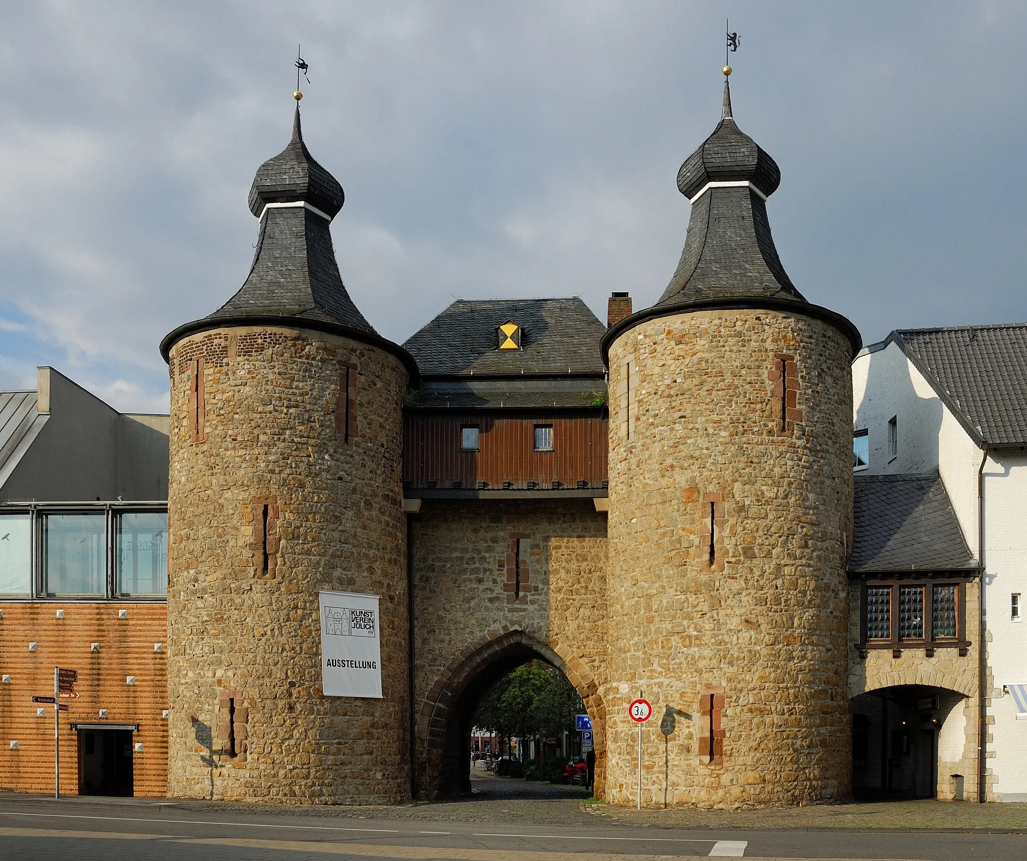
JülichTownExplore the historic town of Jülich, home to impressive castles and fortifications.
88 km
88 km
AldenhovenTownAdmire the picturesque landscapes around Aldenhoven.
96 km
96 km
Bergehalde Maria-Hauptschacht224 mPeakExperience the stunning views from Bergehalde Maria-Hauptschacht.
103 km
103 km
BoschelnSub-urbCycle through the charming village of Boscheln and enjoy its peaceful atmosphere.
106 km
106 km
Finish: Übach-Palenberg City centerÜbach-Palenberg: Discover the Beauty of German Countryside on Your Bike
Cycling routes from UEbach-Palenberg:
Cycling routes nearby: