Burgbernheim Epic Road Ride
A road cycling route starting from Burgbernheim
Experience the scenic beauty of Burgbernheim on this epic road ride
Map
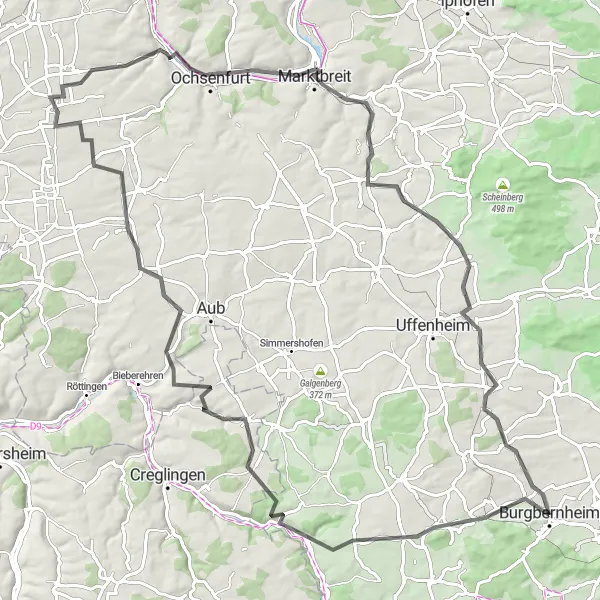
Take on the challenge of the Burgbernheim Epic Road Ride and enjoy the stunning views of the surrounding countryside. With a total ascent of 856 meters and a distance of 104 kilometers, this route is sure to test your endurance and provide an unforgettable cycling experience. The difficulty level is 4 out of 5, making it suitable for well-trained amateur cyclists. For those seeking a truly epic and legendary cycling spot, the Ruine Reichelsburg is a must-visit highlight along the route. With a score of 5, this historic ruin offers a unique opportunity to explore the medieval history of the area. Other highlights include the Giebelstadt (score: 4) where you can delve into the charming atmosphere of a traditional German village.
road
104 km
856 m
Tough
Route profile
Highlights on the route
0 km
0 km
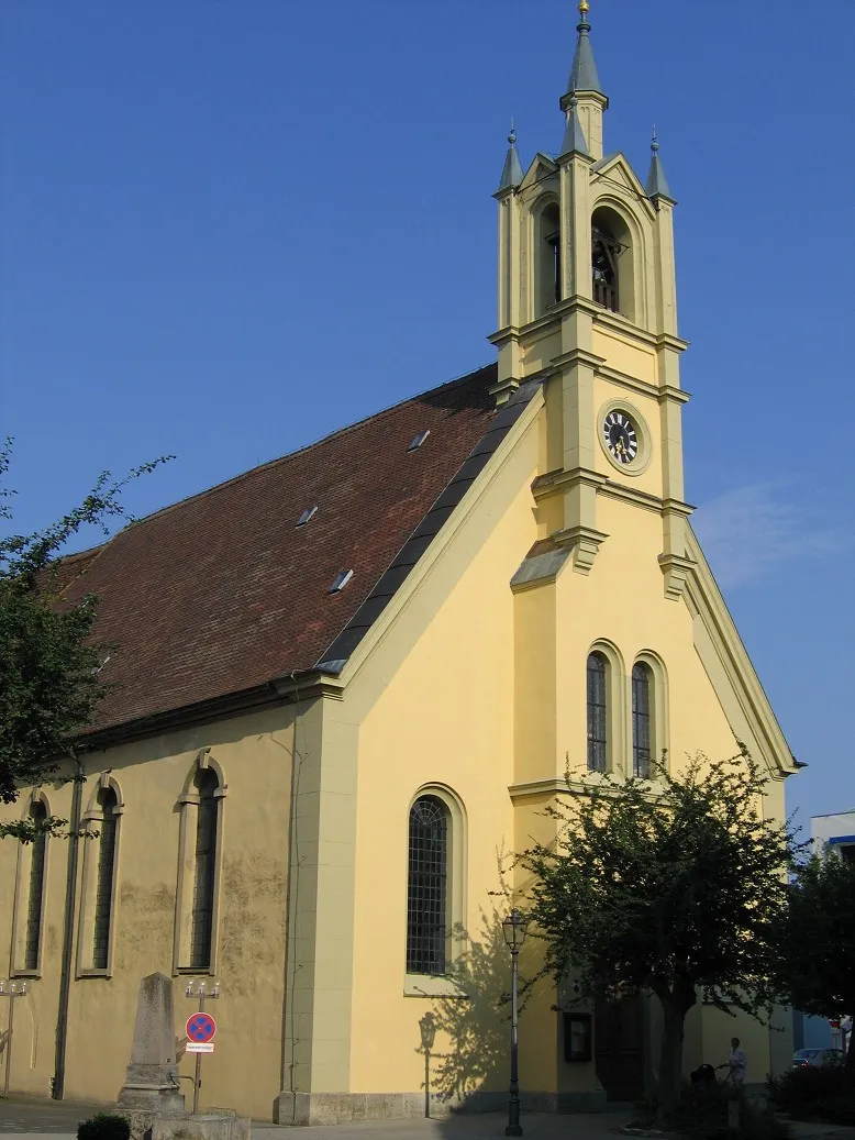
Start: Burgbernheim City centerBurgbernheim: Discover the beauty of Mittelfranken on two wheels
Burgbernheim, located in the Mittelfranken region of Germany, is a charming locality for road and gravel cycling. The town is surrounded by rolling hills, picturesque countryside, and well-maintained roads, offering enjoyable rides for cyclists. Nearby, cyclists can explore the Franconian Heights Nature Park, which features scenic routes and panoramic views. Burgbernheim also serves as a starting point for various cycling tours, including the Romantic Road cycle route. With its idyllic landscape and convenient access to cycling routes, Burgbernheim is a great destination for cyclists seeking a combination of natural beauty and well-planned cycling infrastructure.4 km
4 km
Hutbuck394 mPeakLocated along the route, Hutbuck is a picturesque hill that offers breathtaking panoramic views of the surrounding landscape.
12 km
12 km
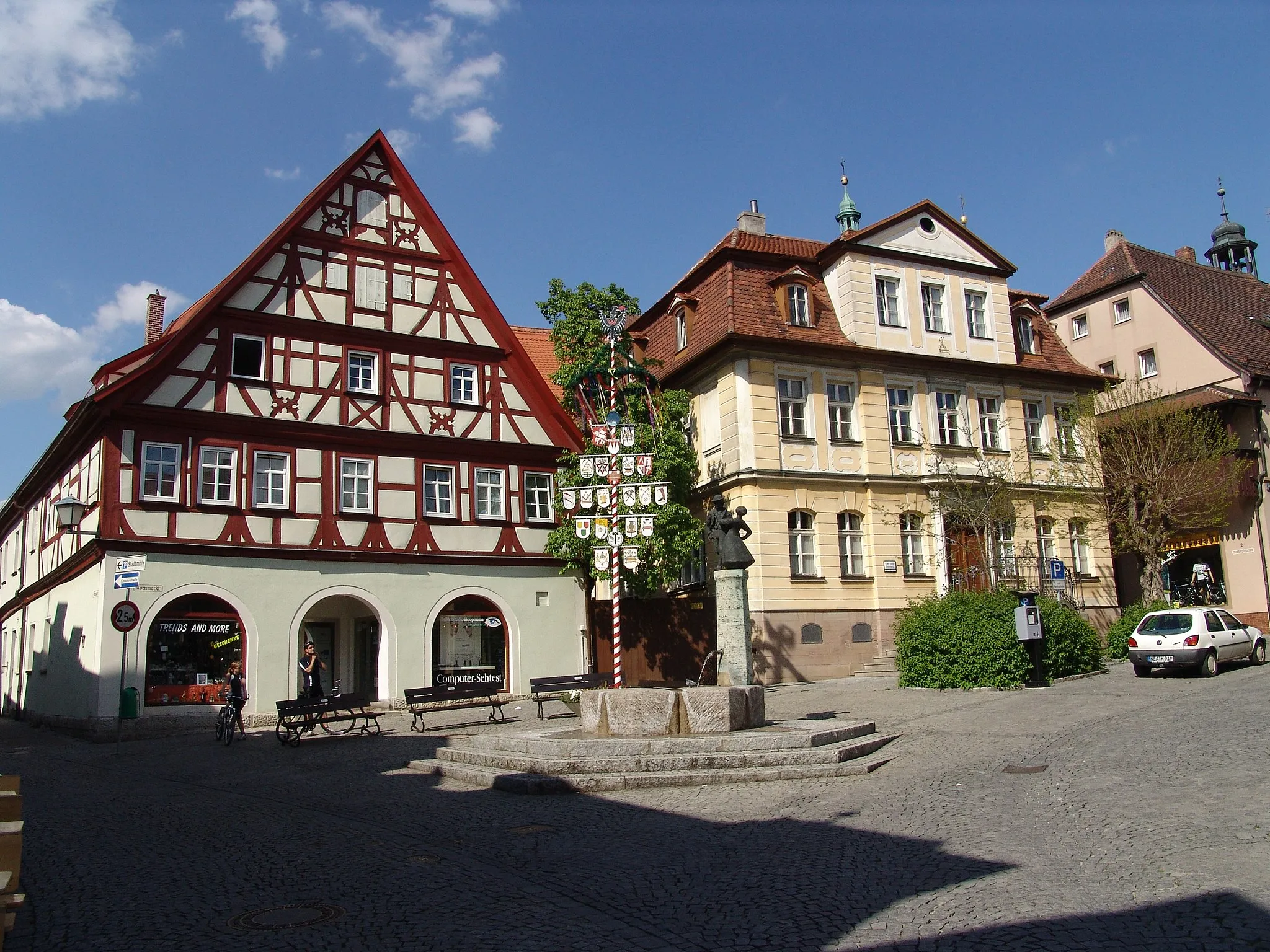
AdelshofenVillageAdelshofen is a quaint village known for its historic buildings and charming architecture.
33 km
33 km
Alter BergViewpointTravel back in time as you cycle through the ancient streets of Alter Berg, a village steeped in history.
36 km
36 km
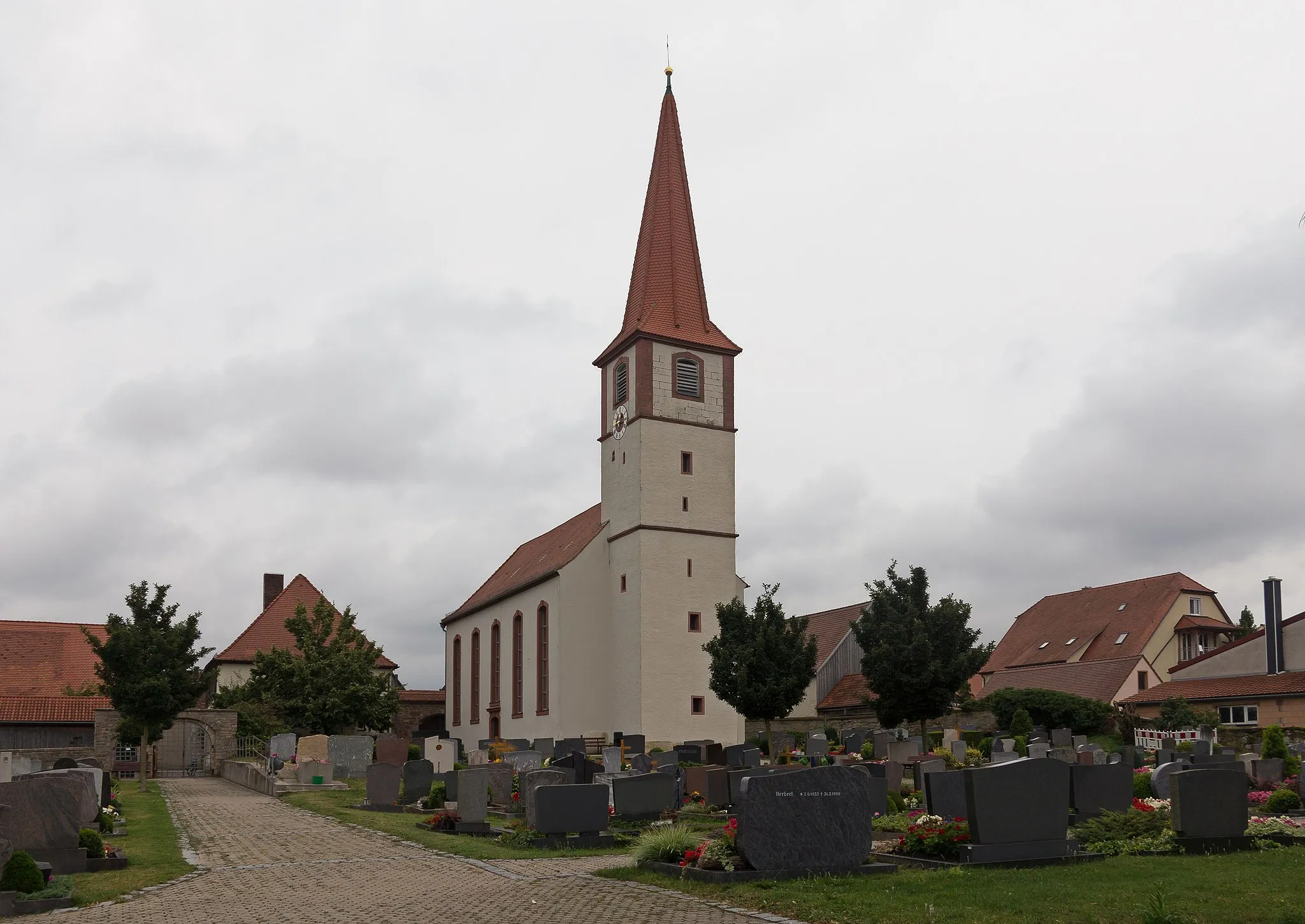
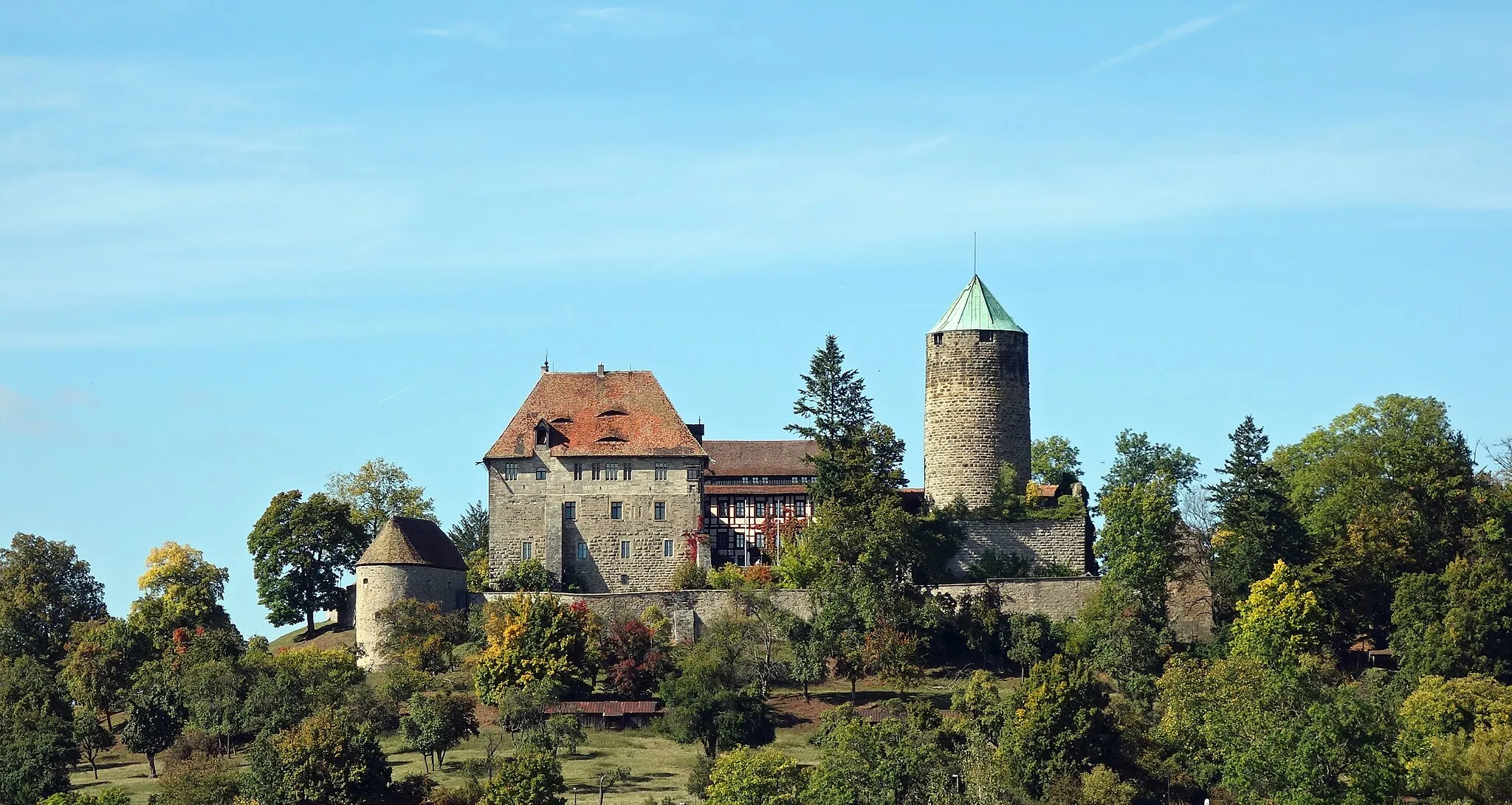
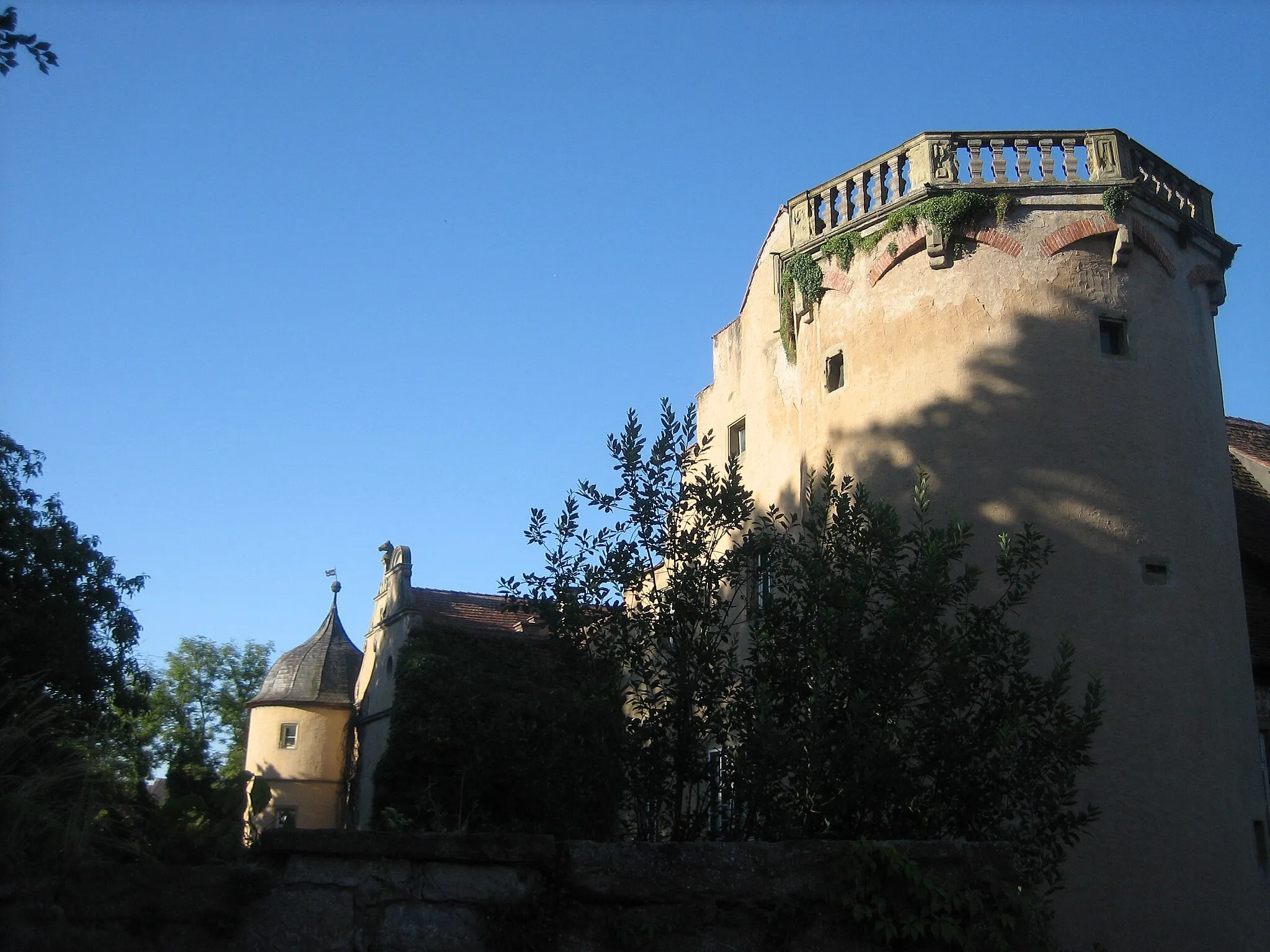
Ruine ReichelsburgCastleExplore the ruins of Ruine Reichelsburg, a medieval castle that offers a glimpse into the past.
52 km
52 km
GiebelstadtVillageImmerse yourself in the beauty of Giebelstadt, a village known for its picturesque landscapes and charming atmosphere.
71 km
71 km
MarktbreitTownMarktbreit is a bustling riverside town with stunning views of the Main River.
87 km
87 km
WeigenheimVillageWeigenheim is a historic town with well-preserved architecture and a relaxed atmosphere.
92 km
92 km
Erdhügel366 mPeakStop by Erdhügel and admire the natural beauty of this scenic location.
100 km
100 km
BergtshofenVillageBergtshofen is known for its beautiful landscapes and rolling hills, providing a great opportunity for a cycling break.
102 km
102 km
Hirschbuck357 mPeakHirschbuck offers stunning views and picturesque scenery that will leave you breathless.
104 km
104 km
Finish: Burgbernheim City centerBurgbernheim: Discover the beauty of Mittelfranken on two wheels
Cycling routes from Burgbernheim:
The Gallmersgarten Gravel Adventure Road Cycling Adventure to Burgbernheim The Illesheim Road Adventure Scenic Gravel Journey to Burgbernheim The Hambühl Gravel Adventure Discover Mittelfranken on Road Gravel Adventure near Burgbernheim Short and Sweet Road Ride Mittelfranken Gravel Loop Burgbernheim Epic Road Ride Gravel Adventure: Gallmersgarten to Ergersheim Burgbernheim to Marktbergel Loop Gravel Adventure: Burgbernheim to Horn
Cycling routes nearby: