Hilltop Challenge
A road cycling route starting from Erlangen
Conquer challenging ascents along this epic road route near Erlangen.
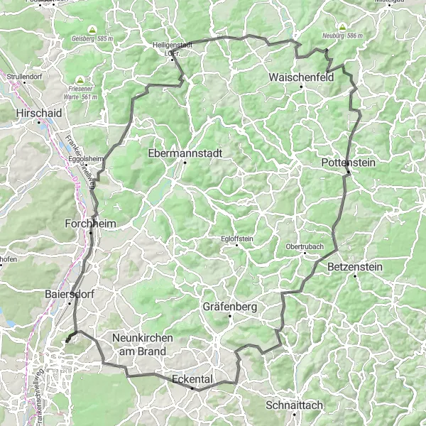
Map
Embark on an epic road cycling adventure near Erlangen, tackling tough ascents and taking in the region's scenic beauty. This route is designed for experienced cyclists seeking a formidable challenge. With breathtaking hilltop views and picturesque towns, it guarantees a memorable journey.
road
128 km
1837 m
Savage
Route profile
Highlights on the route
0 km
0 km
Start: Rathsberg Village centerErlangen: Cycling-friendly town with access to scenic routes in Erlangen
Erlangen, located in Mittelfranken, Germany, is a cyclist-friendly town with well-maintained roads and a network of cycling paths. Cyclists can enjoy exploring the town's historic sites and parks while also taking advantage of the surrounding countryside for longer rides. One popular cycling spot near Erlangen is the Franconian Switzerland, known for its hilly terrain and beautiful landscapes. With its bike-friendly infrastructure and access to scenic cycling routes, Erlangen is a great destination for both road and gravel cyclists.6 km
6 km
BaiersdorfTownVisit the charming town of Baiersdorf.
15 km
15 km
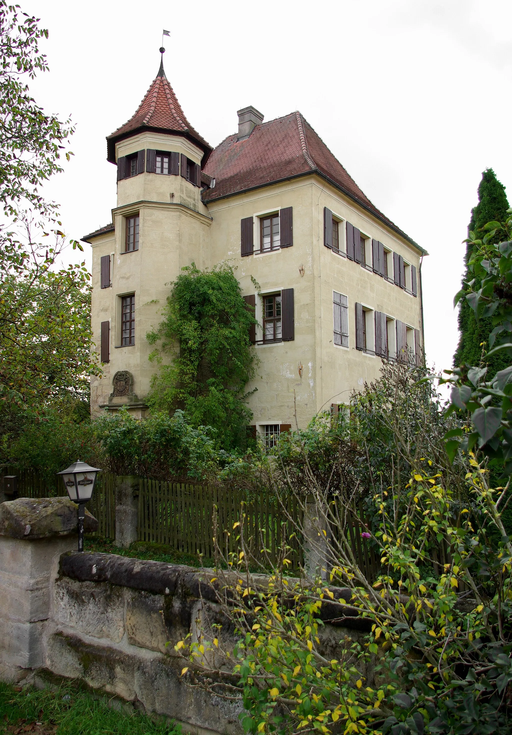
Kellerberg340 mPeakMarvel at the historic Kellerberg.
35 km
35 km
TotensteinViewpointDiscover the beauty of Totenstein.
38 km
38 km
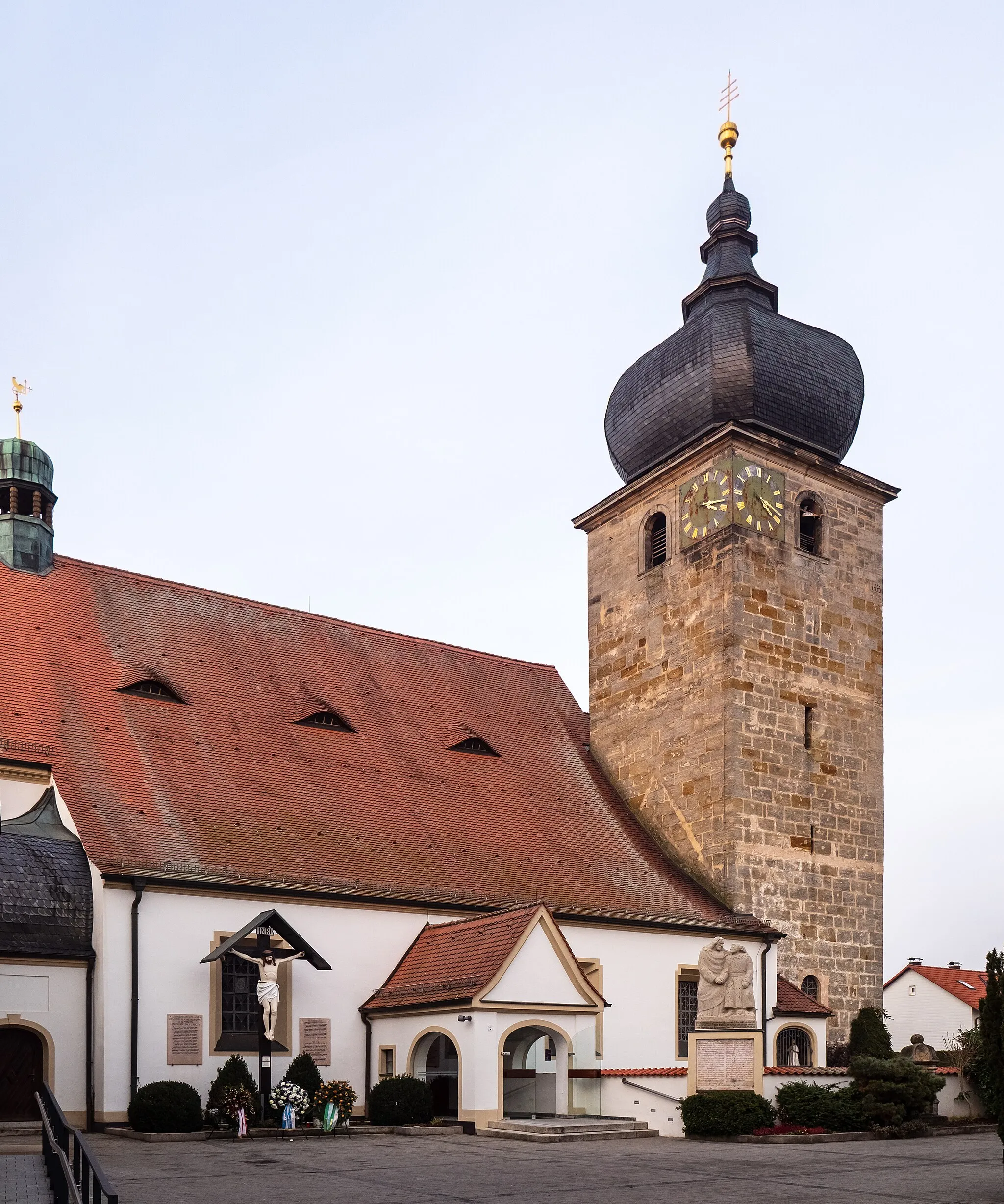
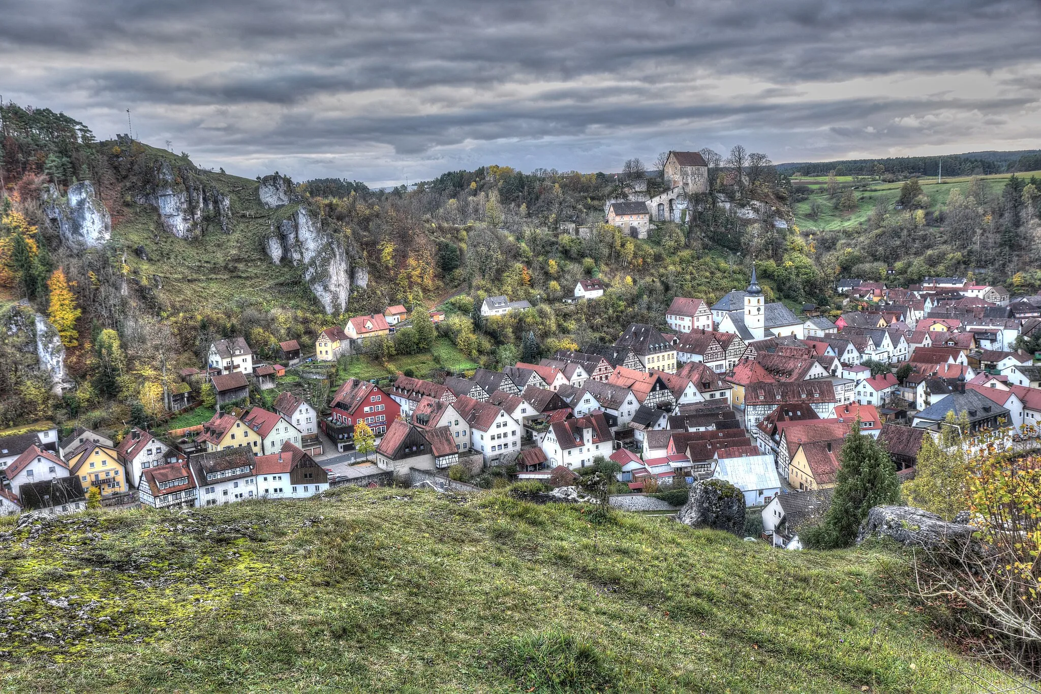
Heiligenstadt i.OFr.VillageExplore the idyllic village of Heiligenstadt i.OFr.
51 km
51 km
PlankenfelsVillageReach the hilltop village of Plankenfels.
54 km
54 km
Auberg423 mPeakAdmire the scenic views from Auberg.
74 km
74 km
SängerhäuschenViewpointRest at the cozy Sängerhäuschen.
75 km
75 km
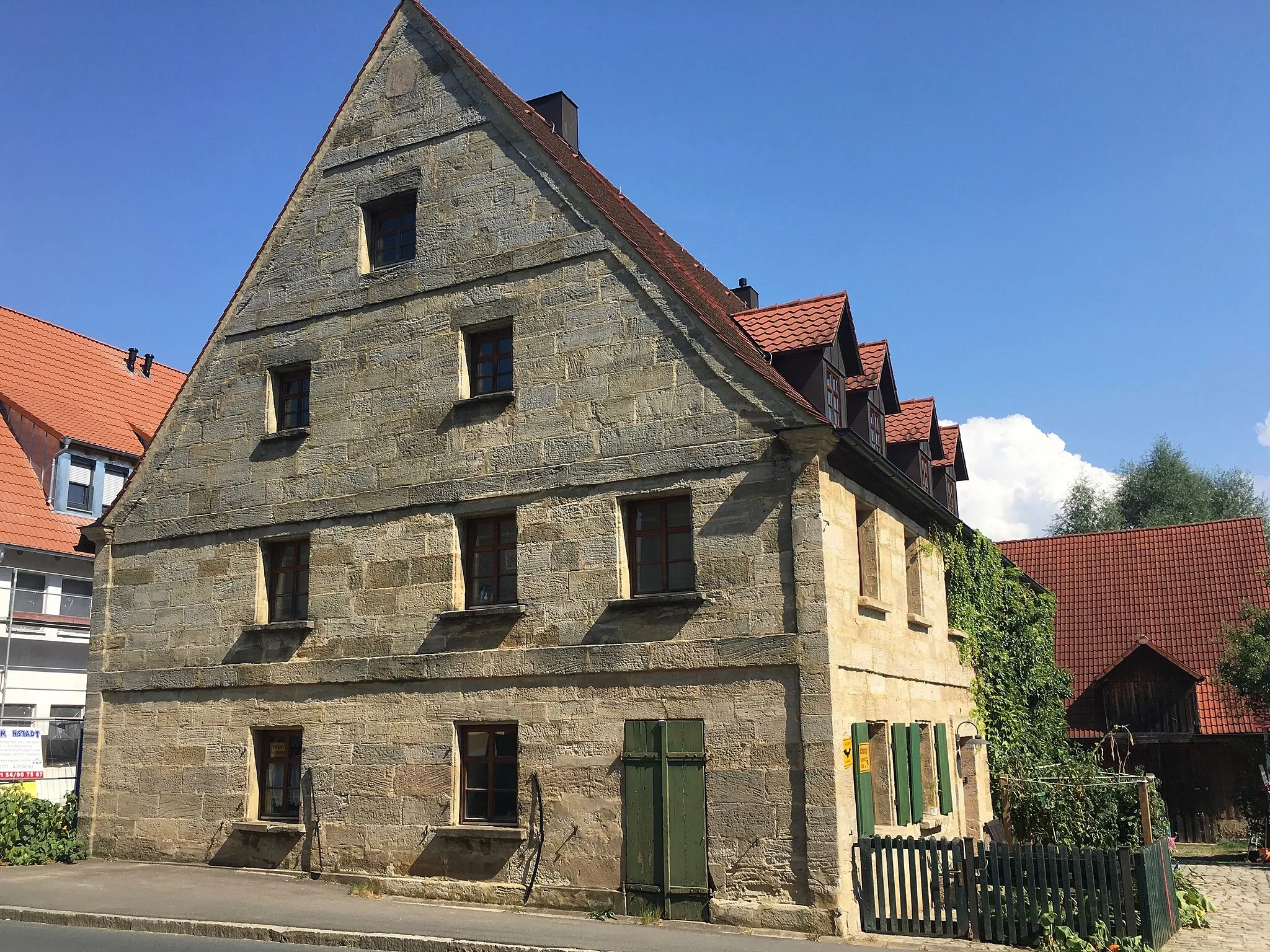
PottensteinTownVisit the charming town of Pottenstein.
92 km
92 km
HiltpoltsteinVillageExplore the historical charm of Hiltpoltstein.
96 km
96 km
Wache492 mPeakPass by the historical landmark of Wache.
112 km
112 km
EckentalTownStop by the picturesque town of Eckental.
122 km
122 km
UttenreuthVillageDiscover the beauty of Uttenreuth.
126 km
126 km
View to NuernbergViewpointEnjoy a panoramic view of Nuernberg.
128 km
128 km
Finish: Rathsberg Village centerErlangen: Cycling-friendly town with access to scenic routes in Erlangen
Cycling routes from Erlangen:
Idyllic Gravel Adventure Nuernberg View Gravel Cultural Road Journey Road Trip to Turmberg and Wolfsbuck Scenic Gravel Journey through Nuernberg to Erlangen Road Cycling Tour through Nuremberg and Cadolzburg Gravel Loop to Castle Erlangen Hilltop Challenge Gravel Adventure to Flexdorf Scenic Loop around Erlangen The Franconian Hill Circuit
Cycling routes nearby: