The Steigerwald Gravel Adventure
A gravel cycling route starting from Lonnerstadt
Embark on an adventurous gravel cycling journey through the enchanting Steigerwald forest
Map
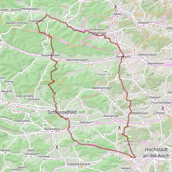
The Steigerwald Gravel Adventure is a thrilling gravel cycling route that winds its way through the captivating Steigerwald forest in Mittelfranken, Germany. Covering a total distance of 69 kilometers and having an ascent of 742 meters, this route offers a great challenge for gravel cycling enthusiasts. The path takes cyclists through dense forests, tranquil villages, and scenic landscapes, providing an immersive experience of the region's natural beauty.
gravel
69 km
742 m
Tough
Route profile
Highlights on the route
0 km
0 km
Start: Lonnerstadt Village centerLonnerstadt: A cyclist's haven in Mittelfranken.
Lonnerstadt is a fantastic locality for road and gravel cycling enthusiasts in the Mittelfranken region of Germany. The area is characterized by its quiet country roads and scenic landscapes, making it an ideal destination for peaceful rides. Cyclists can explore the Altenberg Nature Park, which offers a range of cycling trails through forests and meadows. Lonnerstadt is also within close proximity to the Steigerwald region, known for its vineyards and rolling hills. Cyclists looking for a challenge can tackle famous climbs like the Geisberg. Overall, Lonnerstadt is a hidden gem for cyclists looking to escape the hustle and bustle of larger cities.0 km
0 km
Höchstadt-BlickViewpointHöchstadt-Blick offers a brief glimpse of the picturesque town of Höchstadt an der Aisch from a distance.
13 km
13 km
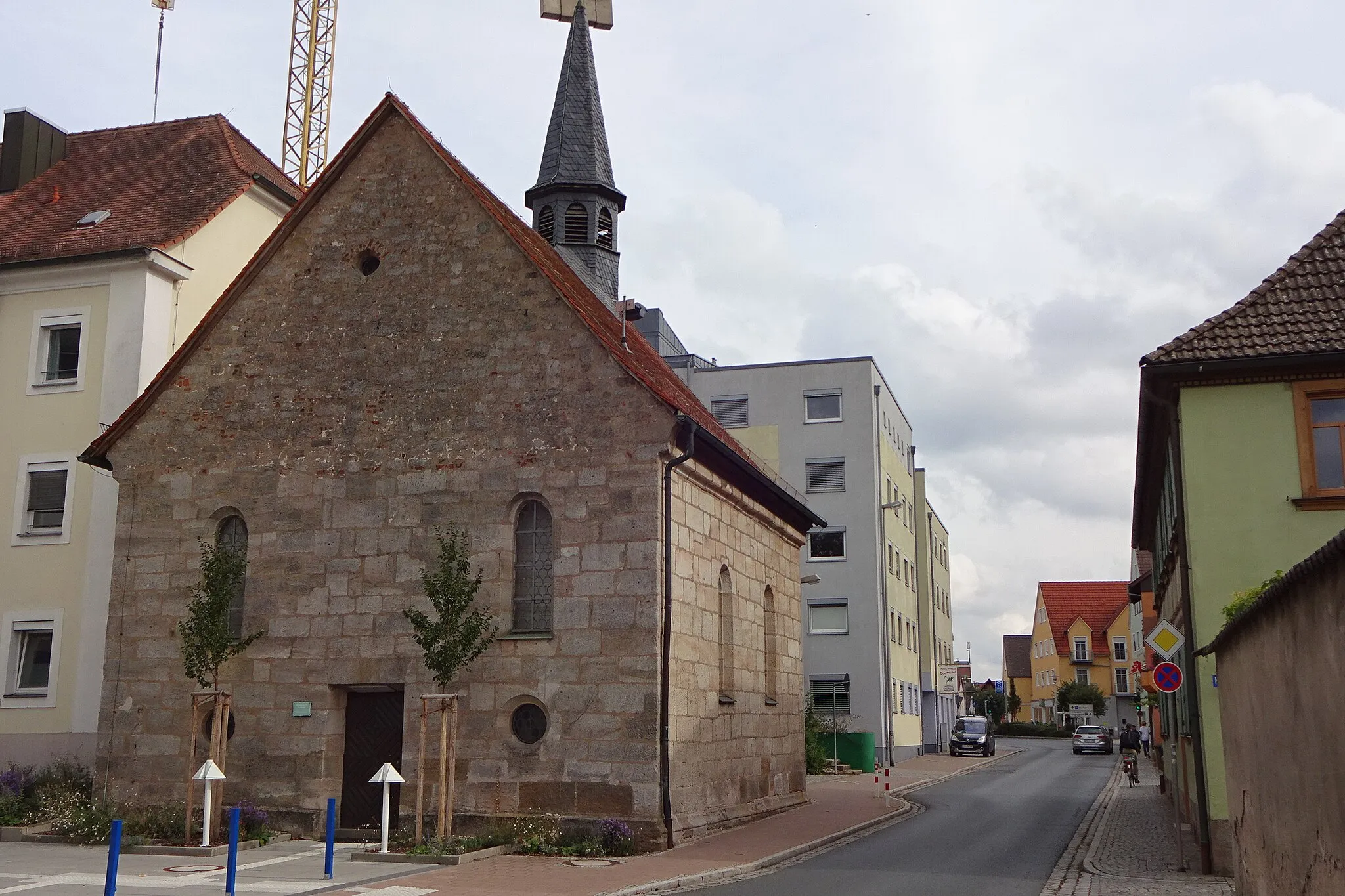
ThüngfeldVillageThüngfeld is a quaint village known for its unique half-timbered houses dating back to the 17th century.
27 km
27 km
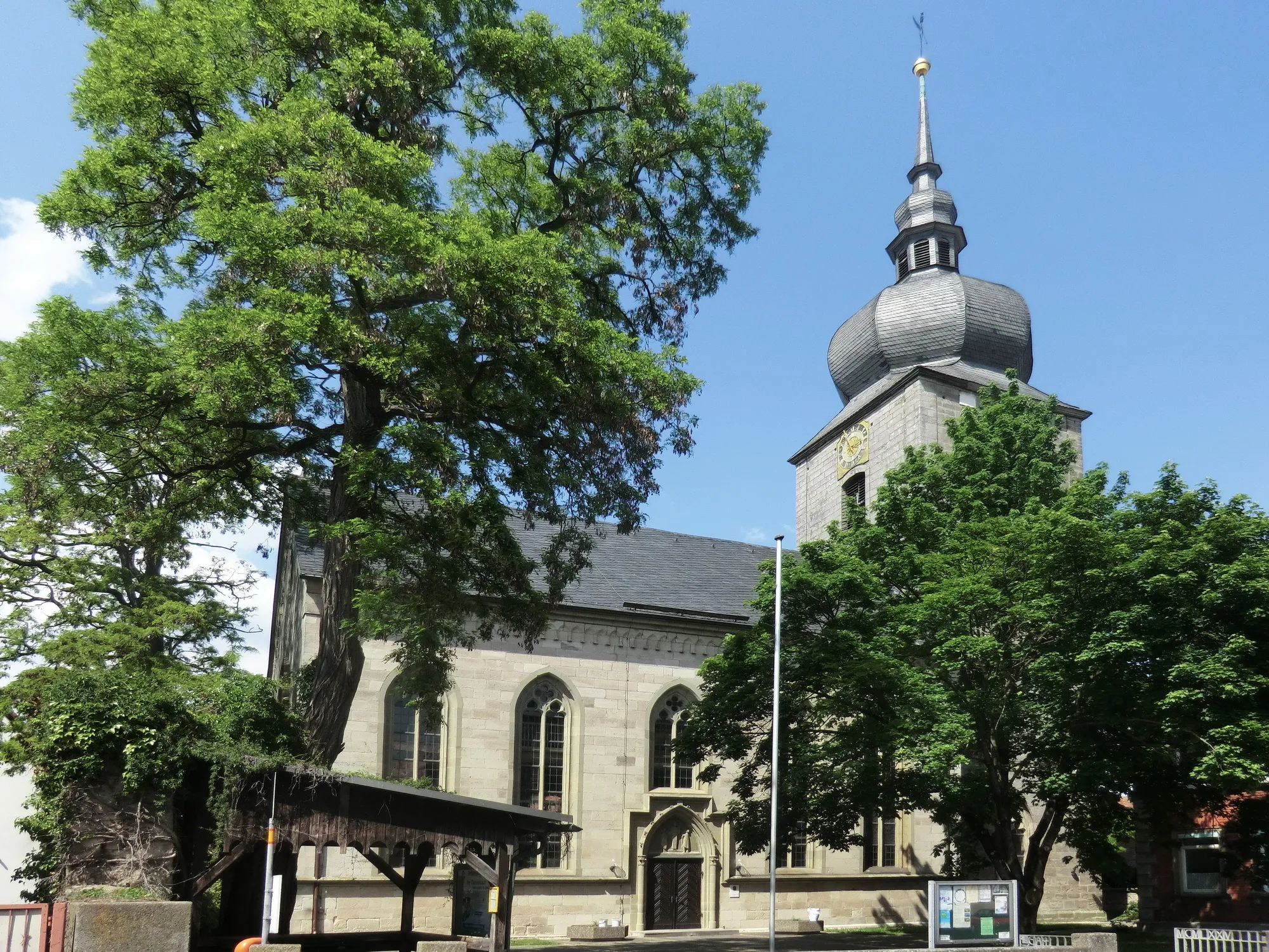
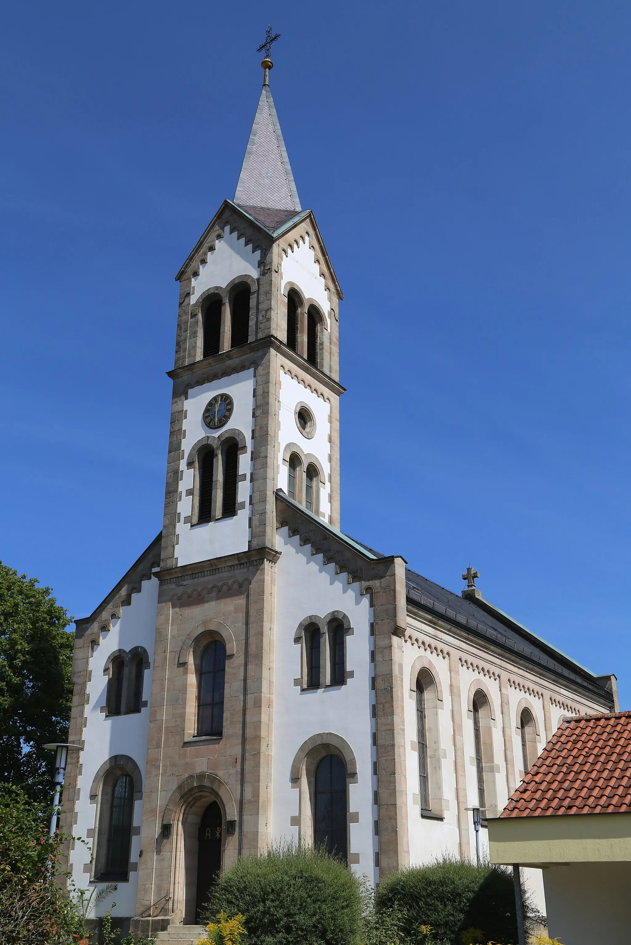
BurgwindheimVillageBurgwindheim is famous for its well-preserved castle ruins, offering a glimpse into the region's history.
44 km
44 km
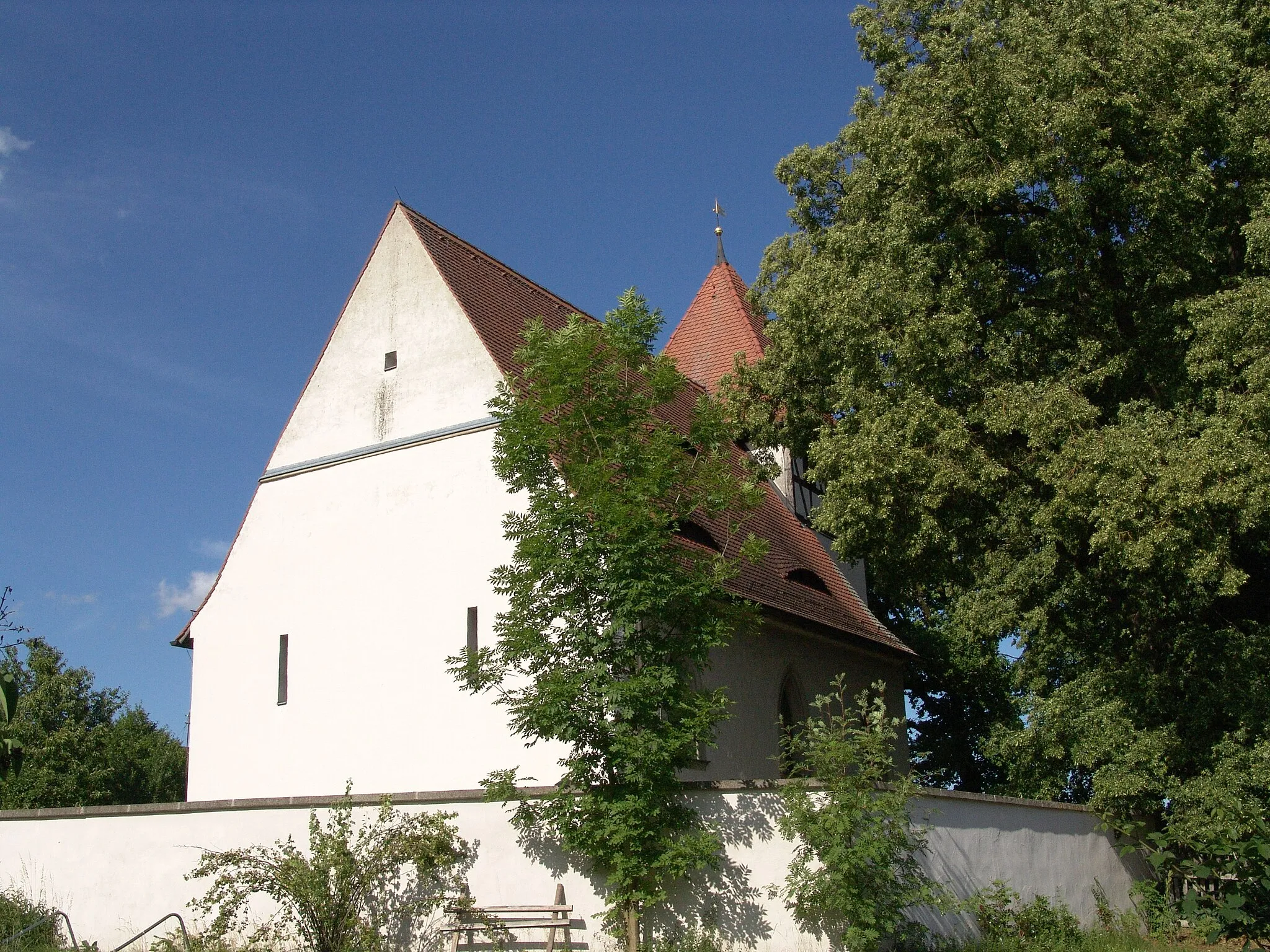
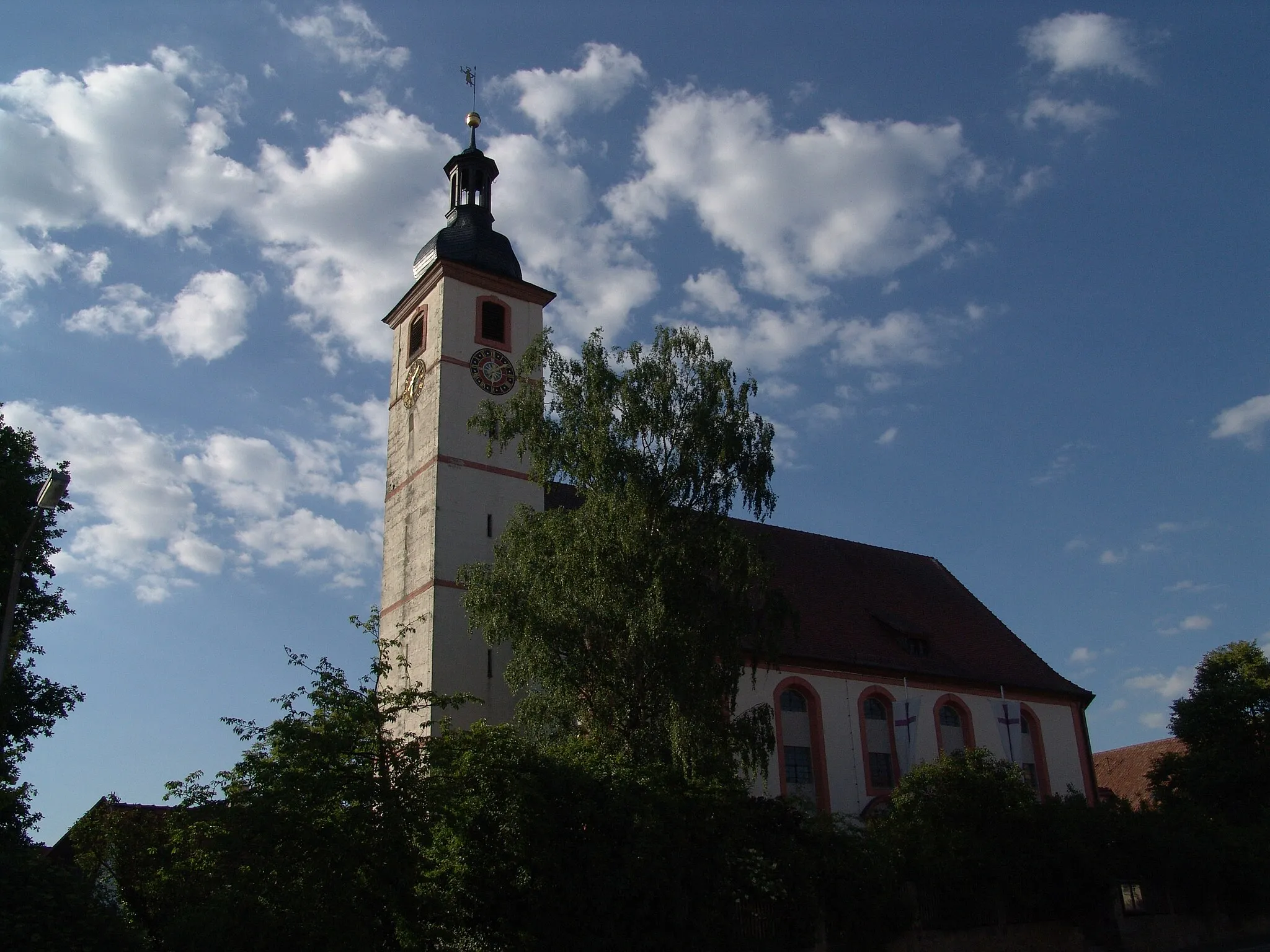
Schönbrunn im SteigerwaldVillageSchönbrunn im Steigerwald is a charming village nestled within the forest, offering peace and tranquility to visitors.
51 km
51 km
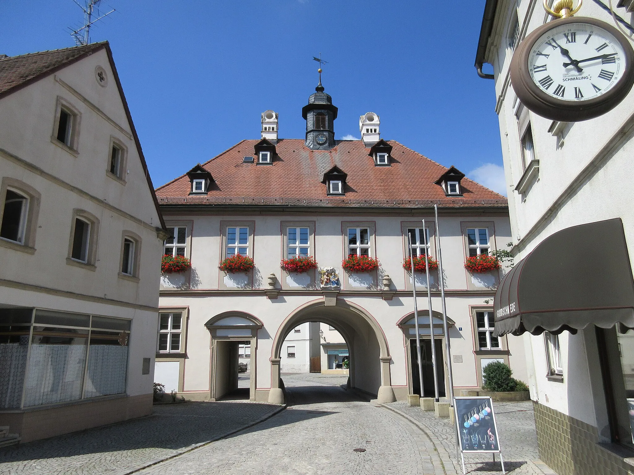
BurgebrachVillageBurgebrach is known for its vibrant local market, where visitors can sample regional delicacies.
64 km
64 km
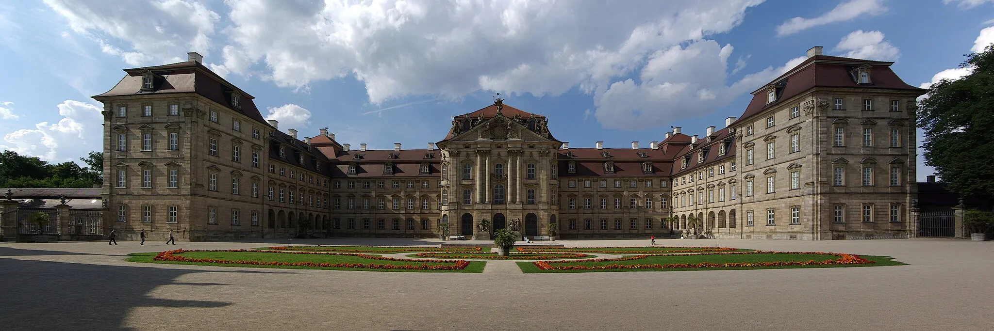
WeingartsgreuthVillageWeingartsgreuth is home to the famous German Castle Museum, which showcases the country's rich castle history.
68 km
68 km
Rinsachhöhe329 mPeakHeading up to Rinsachhöhe offers cyclists panoramic views over the breathtaking Steigerwald forest.
69 km
69 km
Finish: Lonnerstadt Village centerLonnerstadt: A cyclist's haven in Mittelfranken.
Cycling routes from Lonnerstadt:
The Castle Route Lonnerstadt to Höchstadt an der Aisch Gravel Ride The Steigerwald Gravel Adventure Pleasant Hills and Historic Villages Lonnerstadt Gravel Challenge The Aisch Valley Loop Lonnerstadt Gravel Loop Lonnerstadt Road Adventure Lonnerstadt Road Challenge Lonnerstadt to Sterpersdorf Gravel Ride Adelsdorf – Rabensberg – Zeckern – Gremsdorf – Sterpersdorf Loop
Cycling routes nearby: