Weidelbach and Larrieden Gravel Challenge
A gravel cycling route starting from Schopfloch
Conquer the challenging Weidelbach and Larrieden gravel route
Map
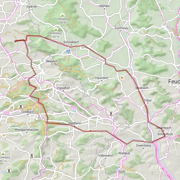
Test your off-road skills on this thrilling gravel challenge near Schopfloch. With a distance of 46 kilometers and an ascent of 392 meters, this route offers an exciting experience for gravel enthusiasts. Highlights along the way include Weidelbach, Hirschberg, Birkenberg, Schnelldorf, Bergnerzell, and Larrieden. Immerse yourself in breathtaking scenery and indulge in the thrill of conquering demanding terrains.
gravel
46 km
392 m
Chill
Route profile
Highlights on the route
0 km
0 km
Start: Schopfloch Village centerSchopfloch: Escape to Nature in the Charming Locality of Schopfloch
Schopfloch, located in Mittelfranken, Germany, is a hidden gem for road and gravel cyclists looking to escape the crowds and immerse themselves in nature. The locality is surrounded by dense forests and peaceful countryside, providing a tranquil environment for cycling. Schopfloch is home to the idyllic Altmühltal-Radweg, a scenic cycling path that follows the course of the Altmühl River. Cyclists can pedal alongside the peaceful river, passing through impressive rock formations, centuries-old castles, and charming Bavarian villages. With its serene landscapes and opportunities for peaceful cycling, Schopfloch offers a much-needed retreat for cycling enthusiasts.4 km
4 km
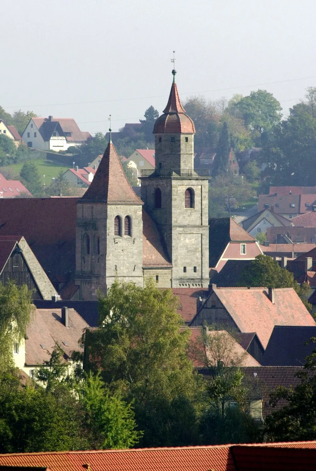
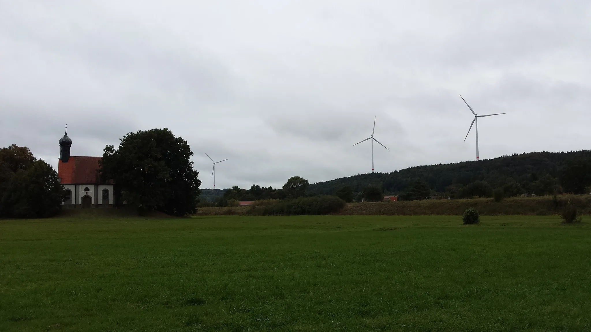
WeidelbachVillageWeidelbach is a small village tucked away in natural surroundings, offering a peaceful rest stop.
5 km
5 km
Hirschberg494 mPeakHirschberg provides stunning views and challenges for gravel enthusiasts.
30 km
30 km
Birkenberg547 mPeakBirkenberg is known for its rugged beauty and remote trails, which make it a favorite among adventure seekers.
31 km
31 km
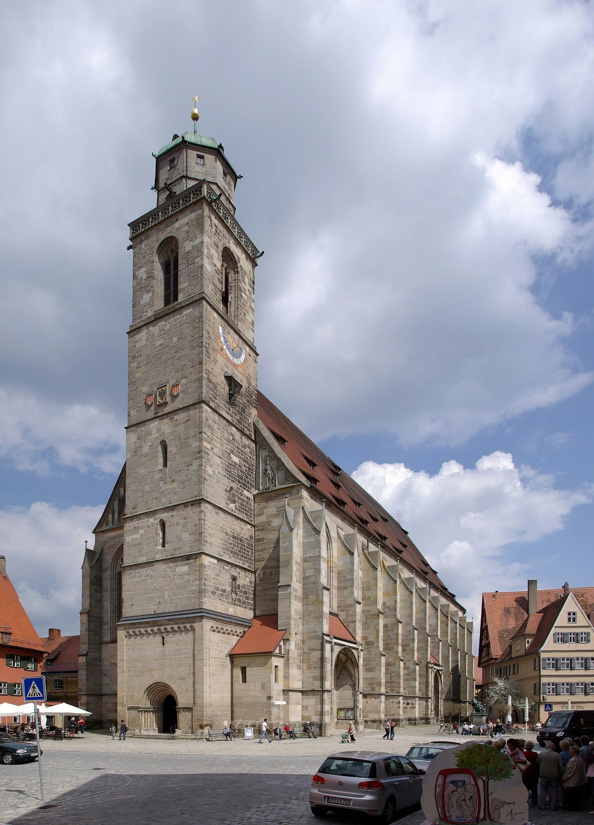
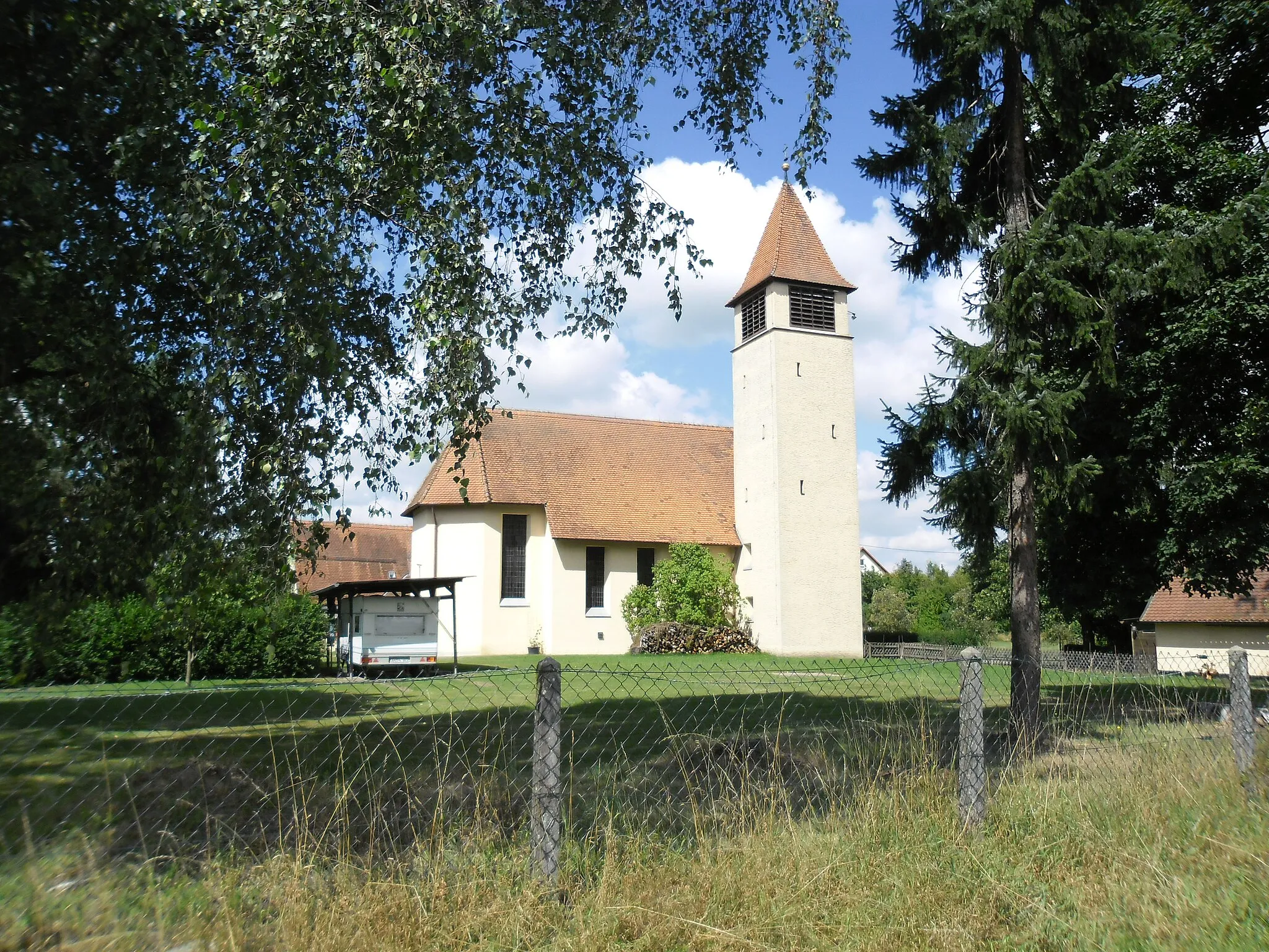
SchnelldorfVillageSchnelldorf is an ideal midpoint on the route, featuring cultural gems and opportunities to refuel.
38 km
38 km
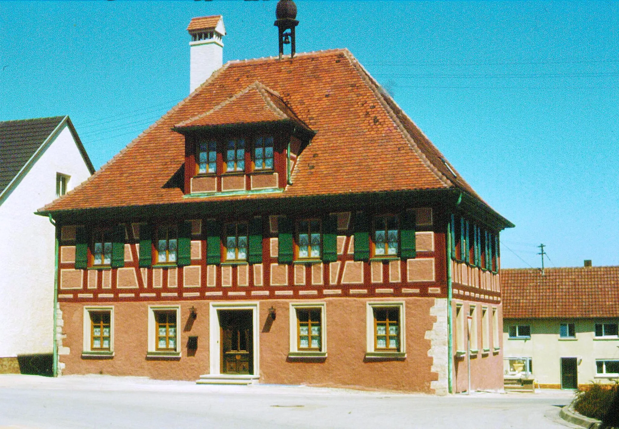
BergnerzellVillageBergnerzell invites you to revel in its idyllic countryside and charming ambiance.
43 km
43 km
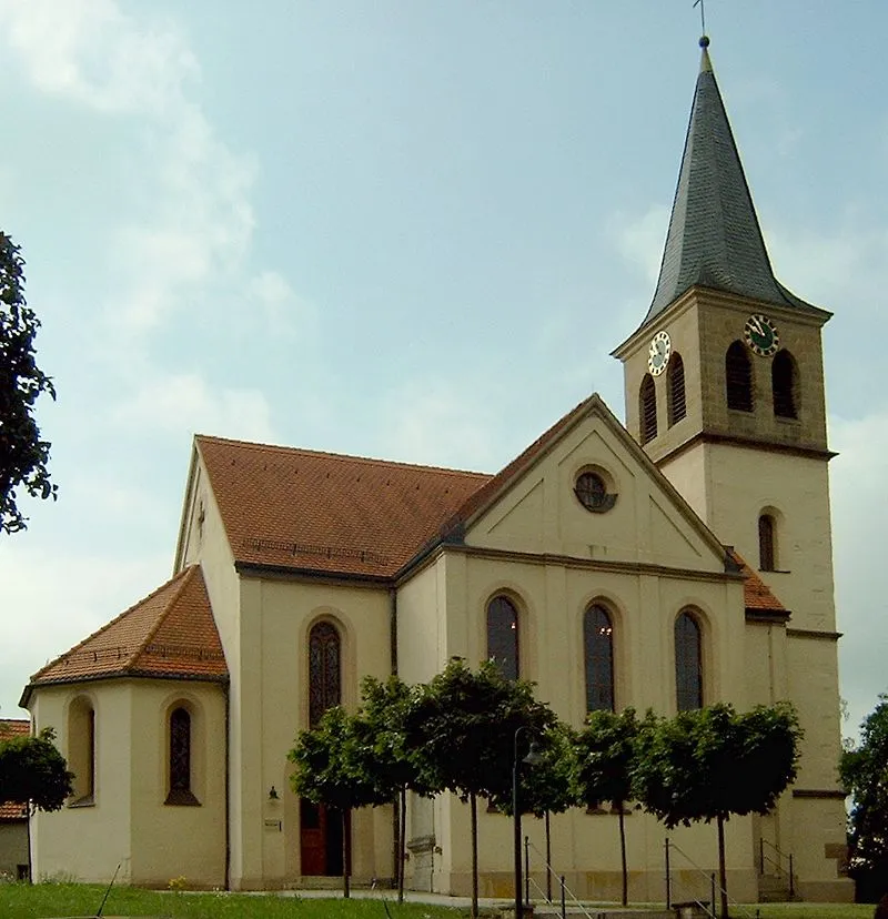
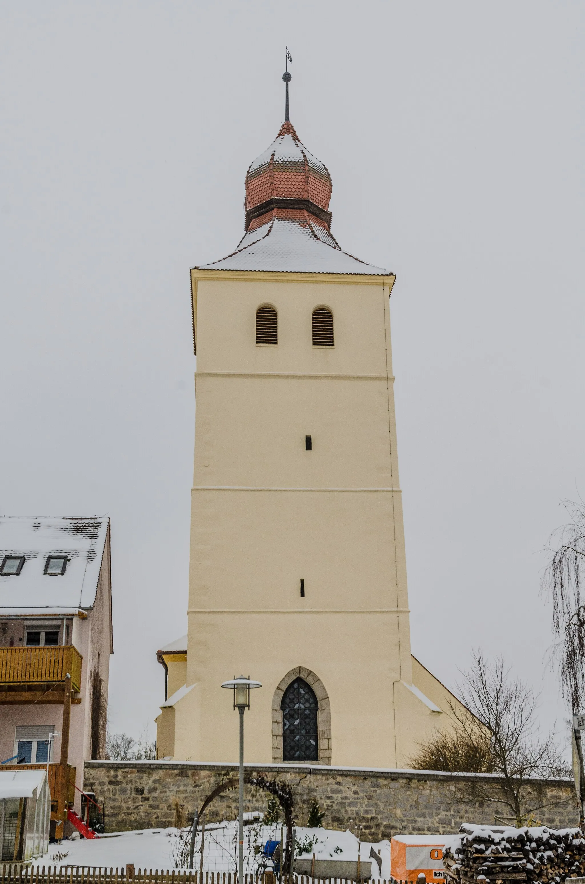
LarriedenVillageLarrieden offers a serene retreat surrounded by picturesque landscapes and historical landmarks.
46 km
46 km
Finish: Schopfloch Village centerSchopfloch: Escape to Nature in the Charming Locality of Schopfloch
Cycling routes from Schopfloch:
Hofbuck and Eberleinsberg Gravel Loop Dürrwangen and Seidelsdorf Gravel Adventure Road Tour to Burg Werdeck Weidelbach and Larrieden Gravel Challenge Wilhelmshöhe and Zwernberg Road Adventure Exploring the Hills and Valleys Discovering Rural Charms Road Cycling Adventure The Ultimate Cycling Challenge Discover Mittelfranken's Hidden Gems Gravel Ride through the Middle Franconian Countryside
Cycling routes nearby: