Hienberg Gravel Adventure
A gravel cycling route starting from Schwaig
Embark on a thrilling gravel adventure in Hienberg
Map
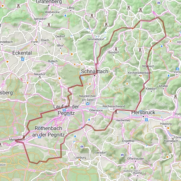
Join us for an exhilarating 78-kilometer gravel adventure in Hienberg. With a total ascent of 1146 meters, this challenging route is suited for experienced riders. Highlights include Bug, a stunning natural area with diverse flora and fauna, Lauf an der Pegnitz, a picturesque town with charming half-timbered houses, and Reichenschwand, a village surrounded by rolling hills and scenic beauty. Don't miss the opportunity to conquer the challenging Sandberg climb and stop by the impressive Brunner Berg.
gravel
78 km
1146 m
Savage
Route profile
Highlights on the route
0 km
0 km
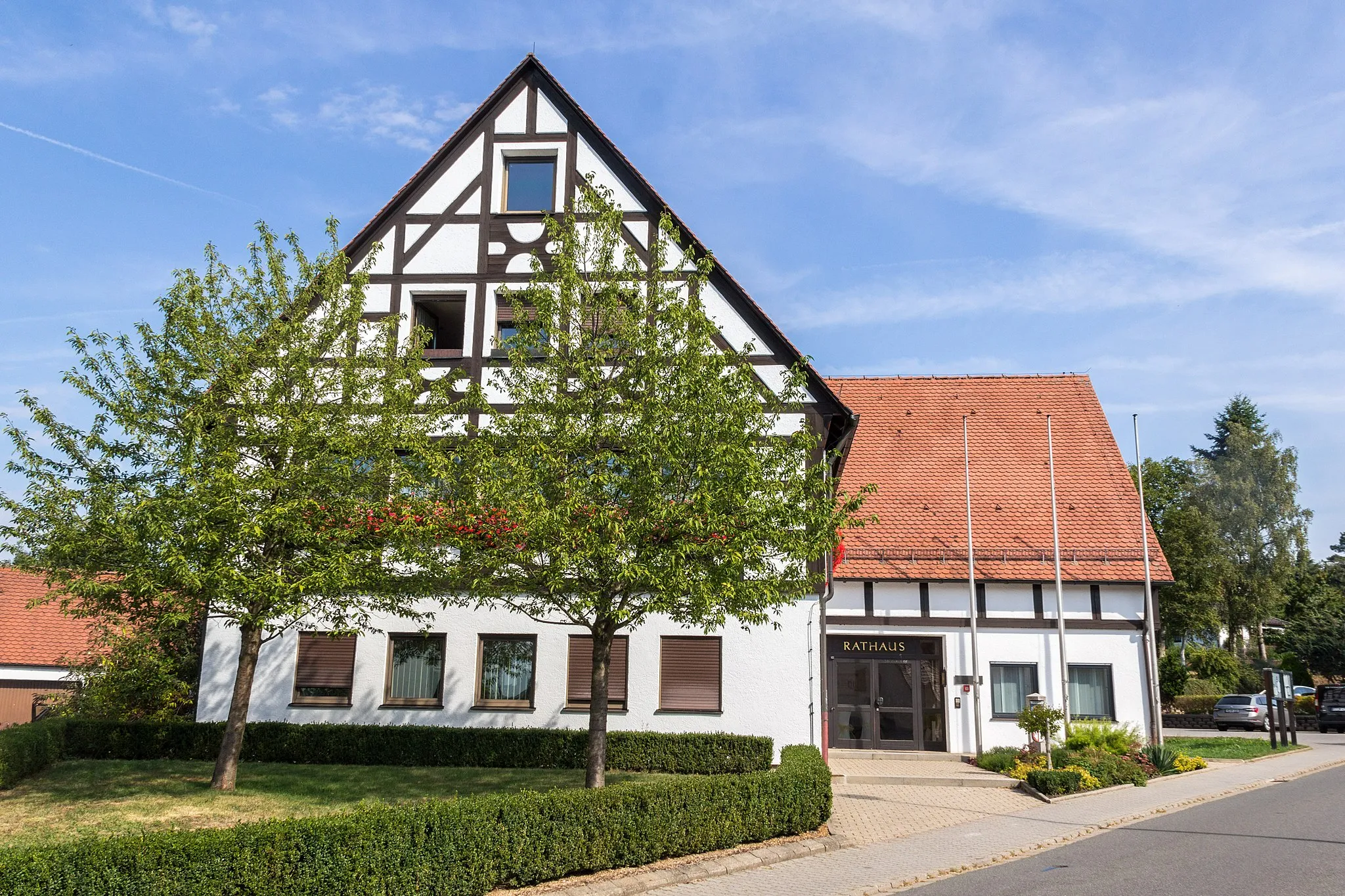
Start: Malmsbach Village centerSchwaig: Leisurely Cycling in Schwaig, Germany
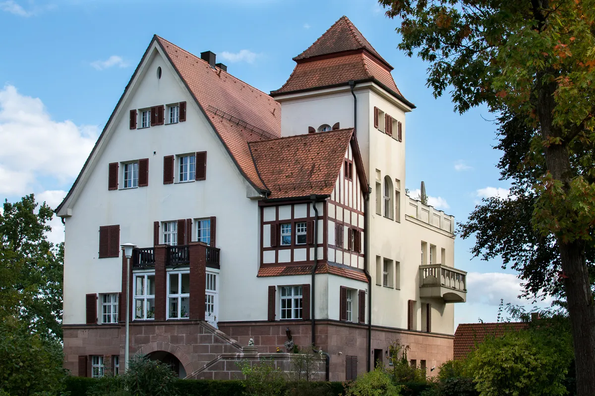
Schwaig in Mittelfranken, Germany, is an average locality for road and gravel cyclists. The region offers diverse terrain, including flat stretches and small hills. Cyclists can explore the countryside and pass through picturesque villages. While not famous for well-known cycling spots, Schwaig provides pleasant rides for cyclists to enjoy the peaceful surroundings and discover hidden gems at their own pace.6 km
6 km
Bug356 mPeakExplore the Bug nature reserve, home to a variety of plant and animal species.
11 km
11 km
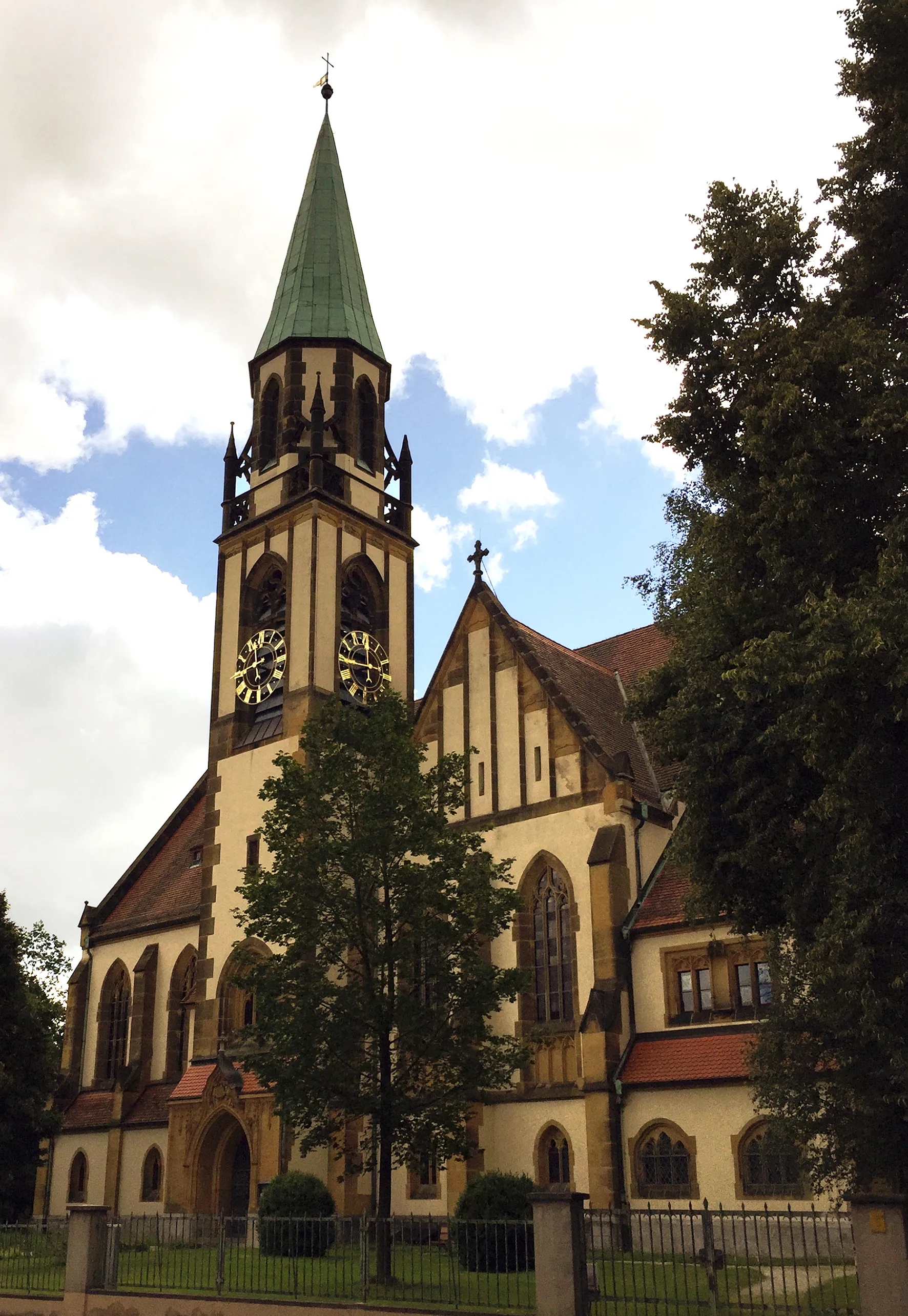
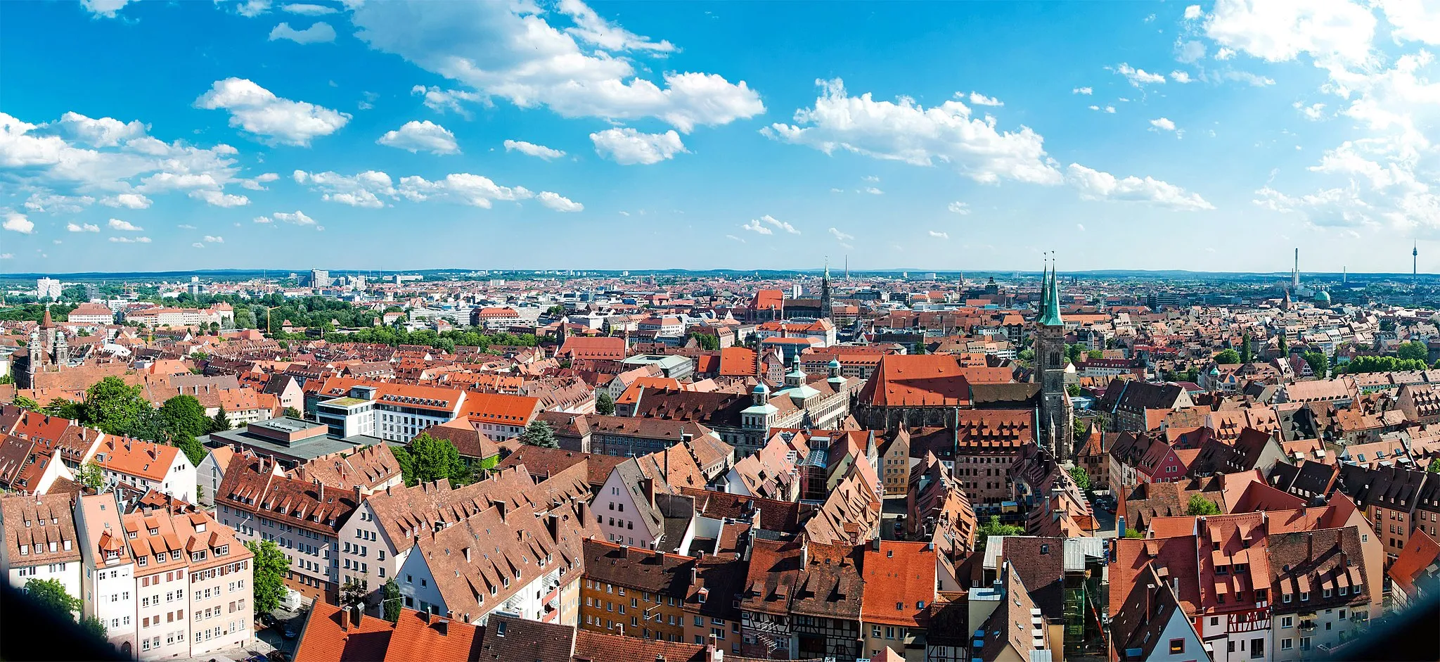
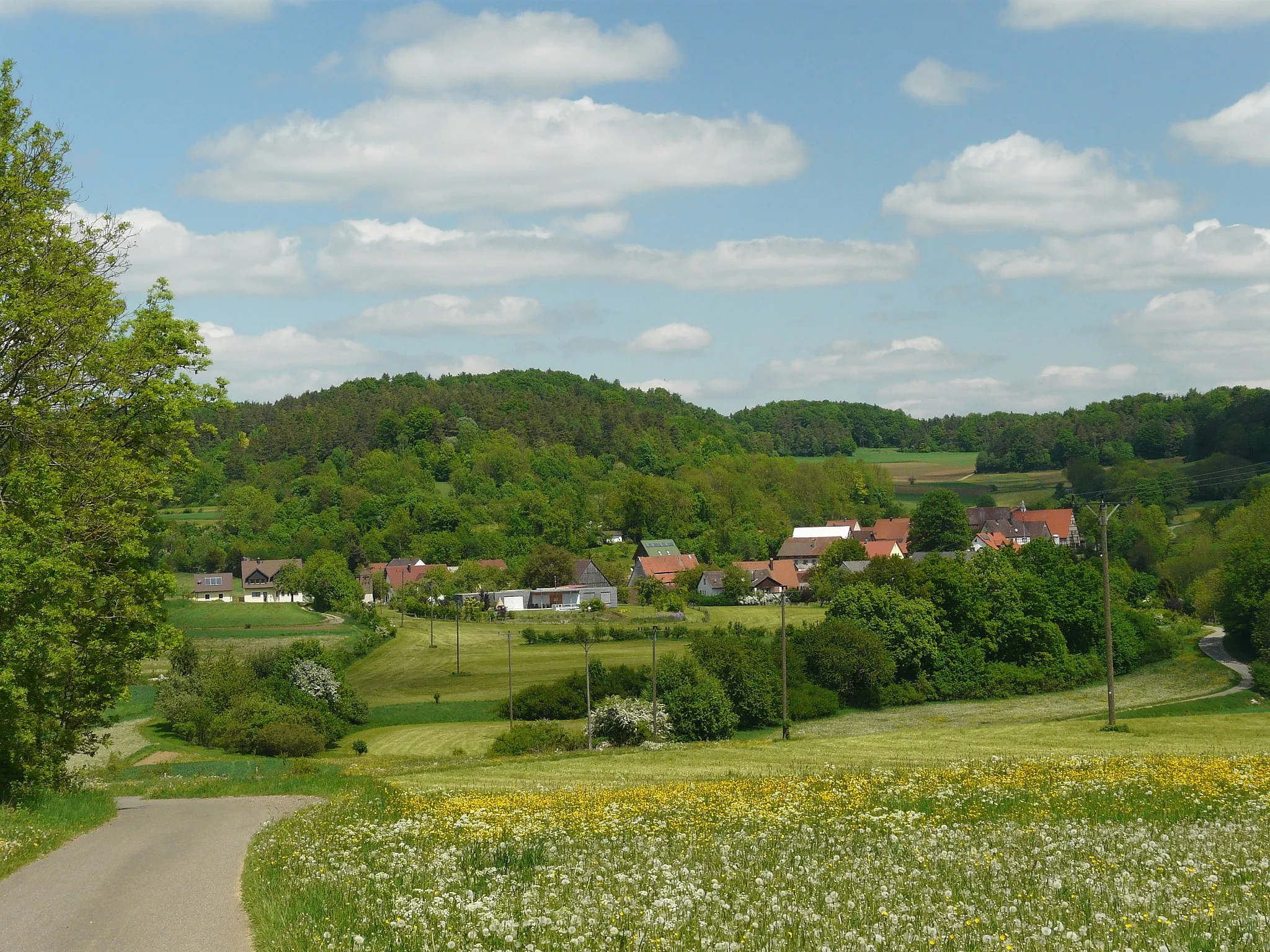
Lauf an der PegnitzTownVisit Lauf an der Pegnitz and admire its well-preserved half-timbered houses.
21 km
21 km
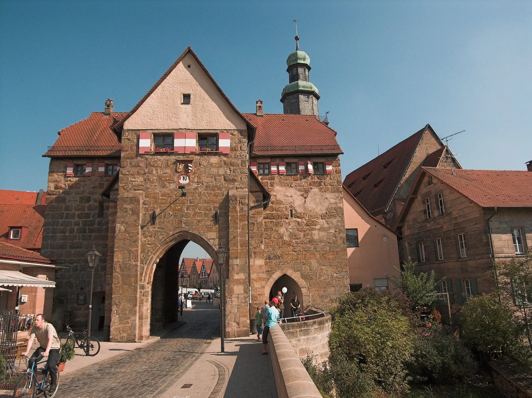
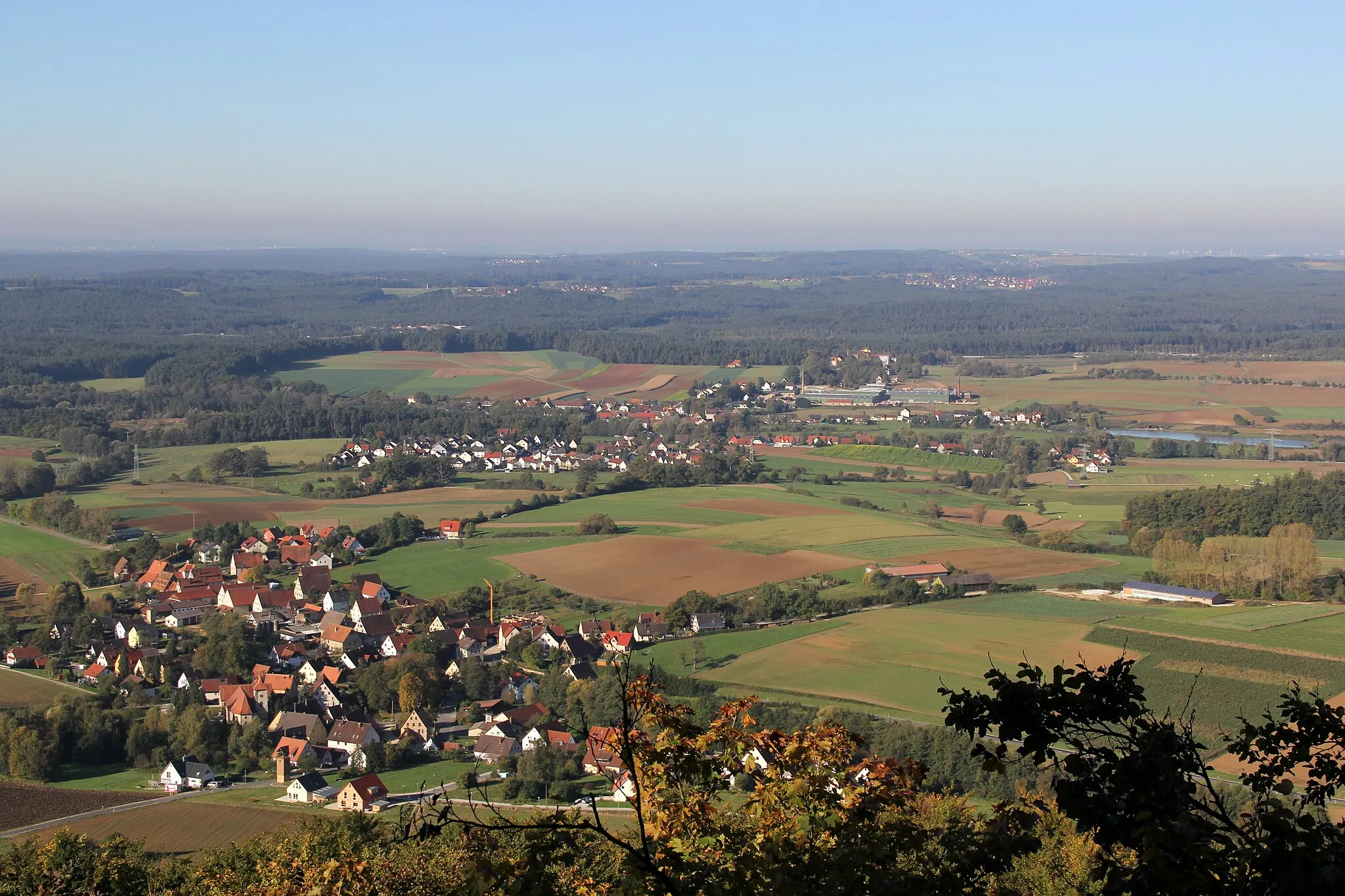
SchnaittachTownCycle through Schnaittach and enjoy the stunning landscapes of the surrounding hills.
26 km
26 km
Hienberg550 mPeakClimb Hienberg's Sandberg, a challenging ascent that rewards riders with breathtaking panoramic views.
44 km
44 km
Sandberg595 mPeakPass through Sandberg and be amazed by its rugged beauty and scenic charm.
45 km
45 km
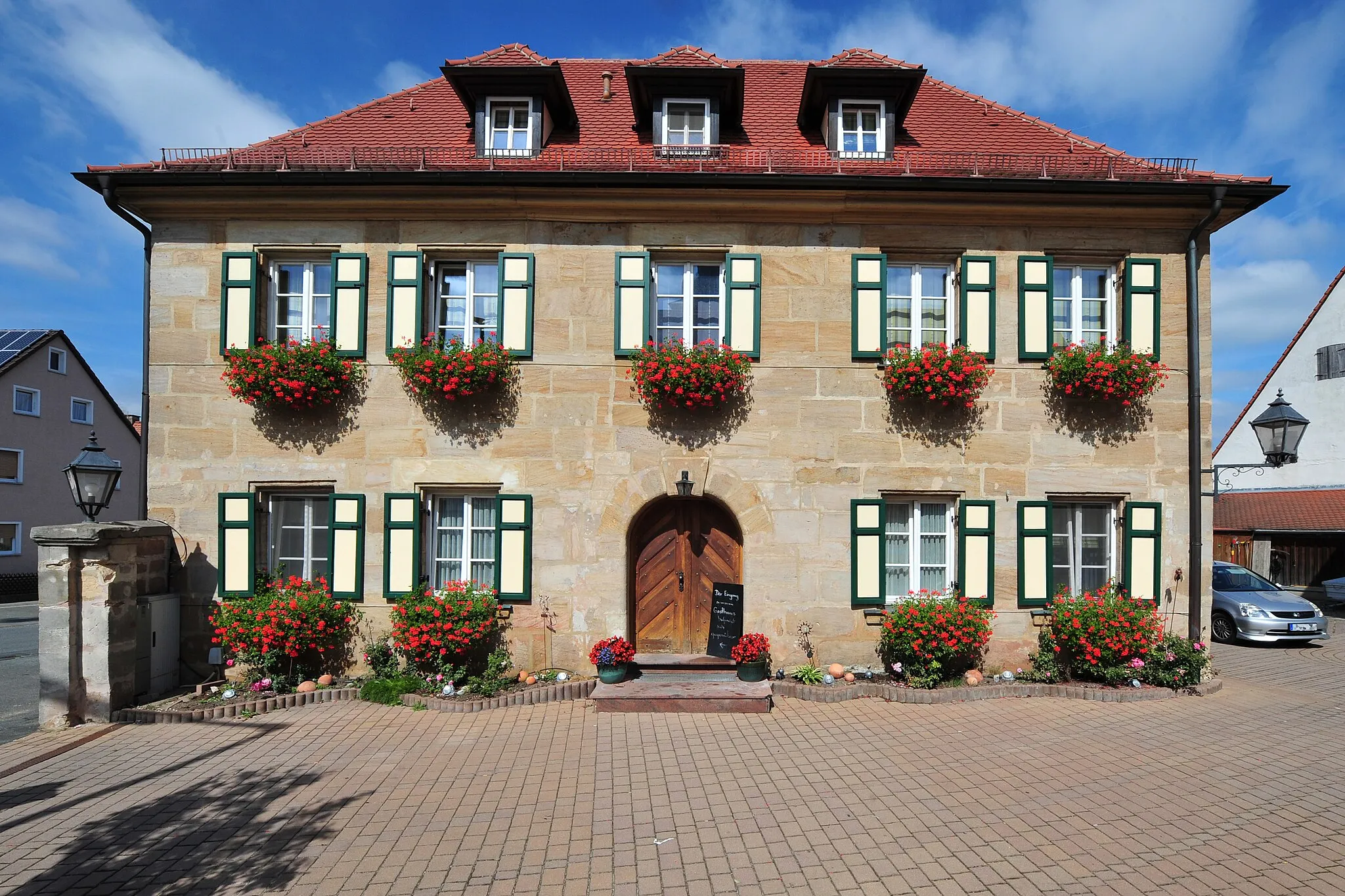
StöppachVillageStop by Stöppach, a small village surrounded by picturesque landscapes and rolling hills.
55 km
55 km
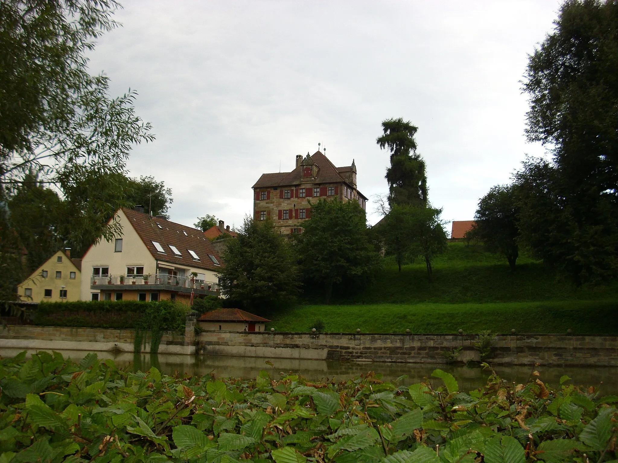
ReichenschwandVillageExplore Reichenschwand, a peaceful village known for its tranquility and natural beauty.
67 km
67 km
RenzenhofSub-urbAdmire the idyllic scenery of Renzenhof and take a moment to appreciate the peaceful surroundings
72 km
72 km
Brunner Berg438 mPeakConquer the challenging Brunner Berg and be rewarded with fantastic views of the area.
78 km
78 km
Finish: Malmsbach Village centerSchwaig: Leisurely Cycling in Schwaig, Germany
Cycling routes nearby: