Fürstenstein Gravel Loop
A gravel cycling route starting from Furstenstein
A challenging gravel loop with stunning scenery
Map
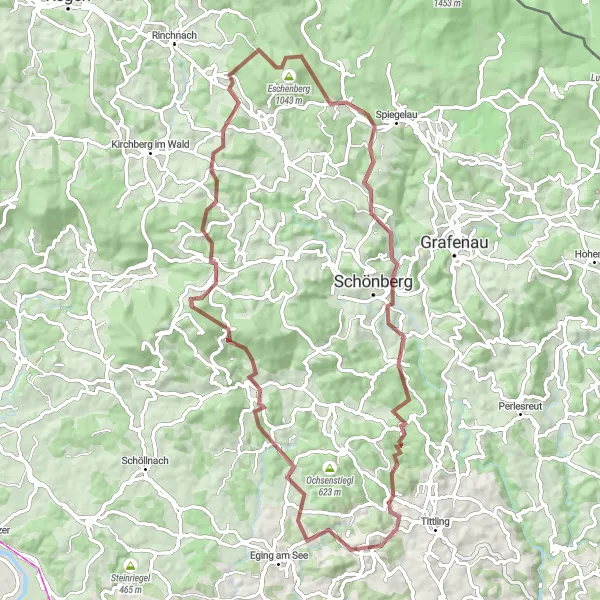
This gravel loop starting near Fürstenstein in Niederbayern, Germany offers a challenging ride with plenty of stunning scenery. With a total ascent of 1828 meters and a distance of 75 kilometers, this route is perfect for avid off-road cyclists looking for a thrilling adventure. The route passes through several picturesque villages and showcases the natural beauty of the Bavarian countryside. Overall, this gravel loop provides a great mix of challenging terrain, beautiful landscapes, and a chance to explore the lesser-known regions of Niederbayern.
gravel
75 km
1828 m
Tough
Route profile
Highlights on the route
0 km
0 km
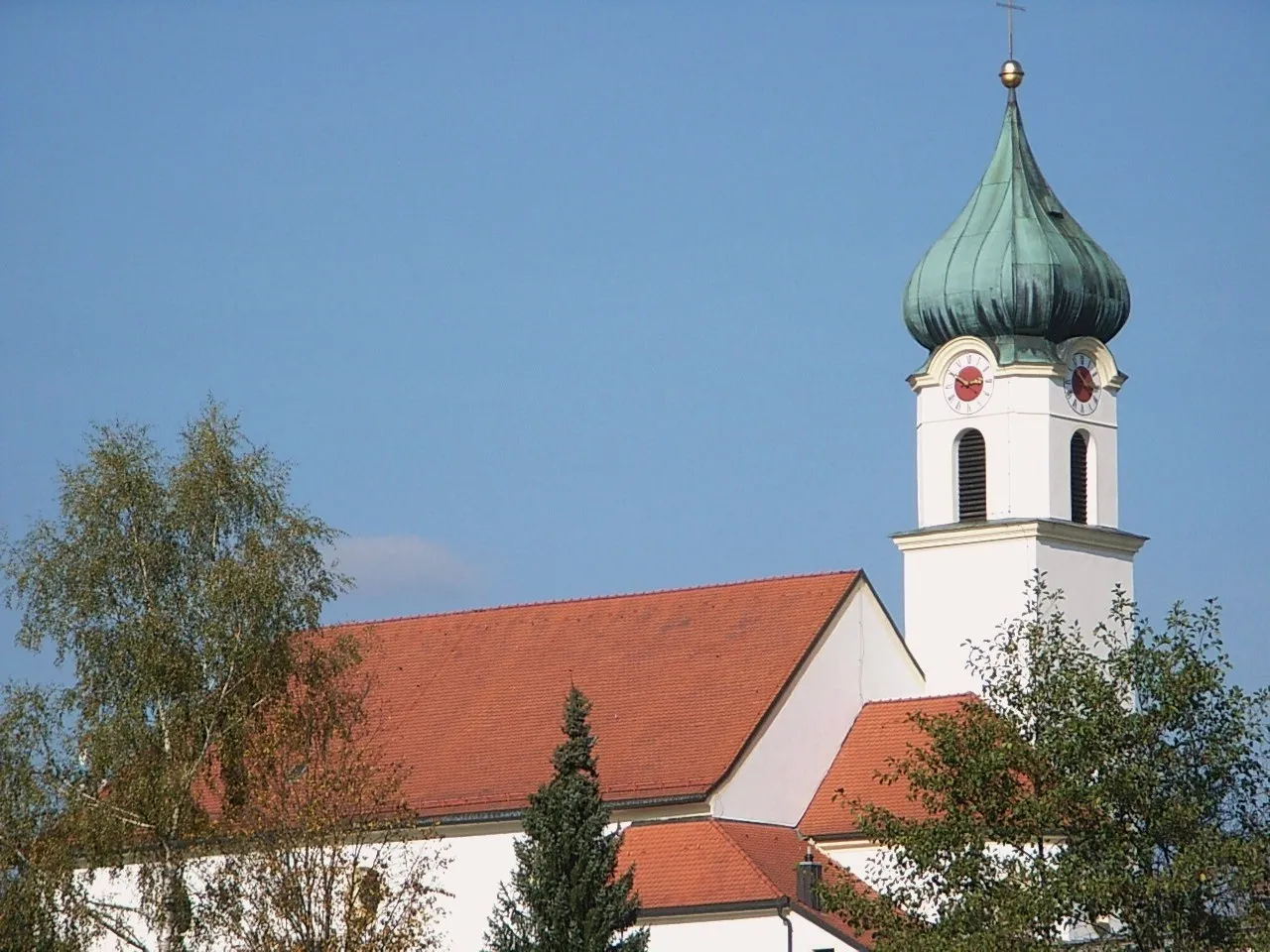
Start: Fürstenstein Village centerFürstenstein: Hidden Cycling Gem in Niederbayern
Fürstenstein, located in Niederbayern, Germany, is a hidden gem for road and gravel cyclists. The region boasts a diverse landscape with rolling hills, dense forests, and tranquil lakes. The nearby Danube Bike Path is a popular route that passes through Fürstenstein, offering scenic views and charming villages along the way. Cyclists visiting Fürstenstein will find well-marked bike trails, bicycle-friendly accommodations, and a tranquil atmosphere perfect for exploration.13 km
13 km
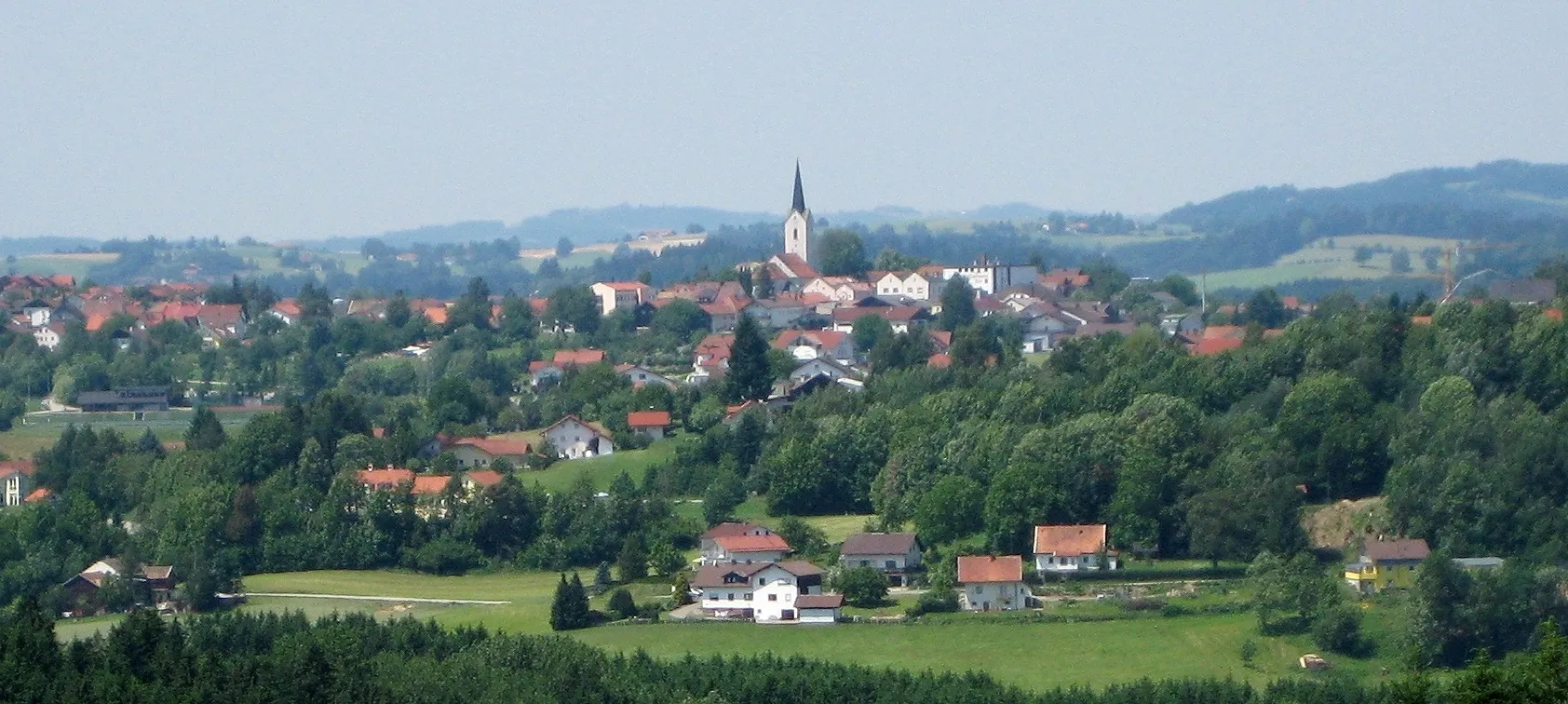
ZentingVillageLocated approximately 13 kilometers into the route, Zenting is a charming village known for its traditional Bavarian architecture. Take a break and soak in the peaceful atmosphere while enjoying a delicious local meal.
16 km
16 km
Kleiner Aschenstein913 mPeakKleiner Aschenstein, situated 16 kilometers into the route, offers panoramic views of the surrounding mountains and forests. It's an excellent spot for capturing memorable photos.
28 km
28 km
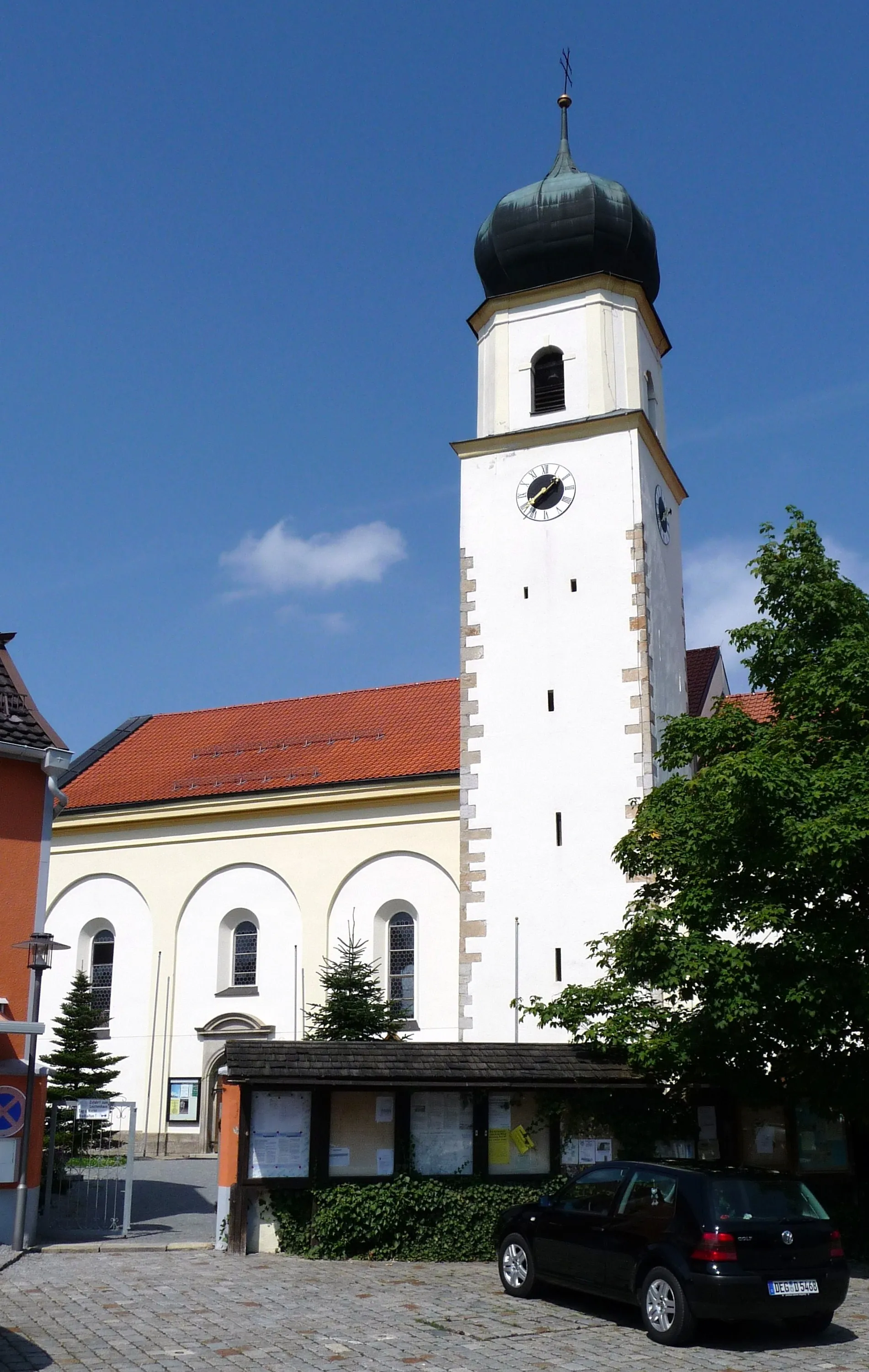
UntermitterdorfVillageUntermitterdorf is a small hamlet located 28 kilometers into the route. It boasts a quaint church and exudes tranquility, making it a great place to rest and rejuvenate.
40 km
40 km
Wagensonnriegel959 mPeakWagensonnriegel is a hill located 40 kilometers into the route, offering a challenging climb but rewarding riders with breathtaking vistas at its summit.
49 km
49 km
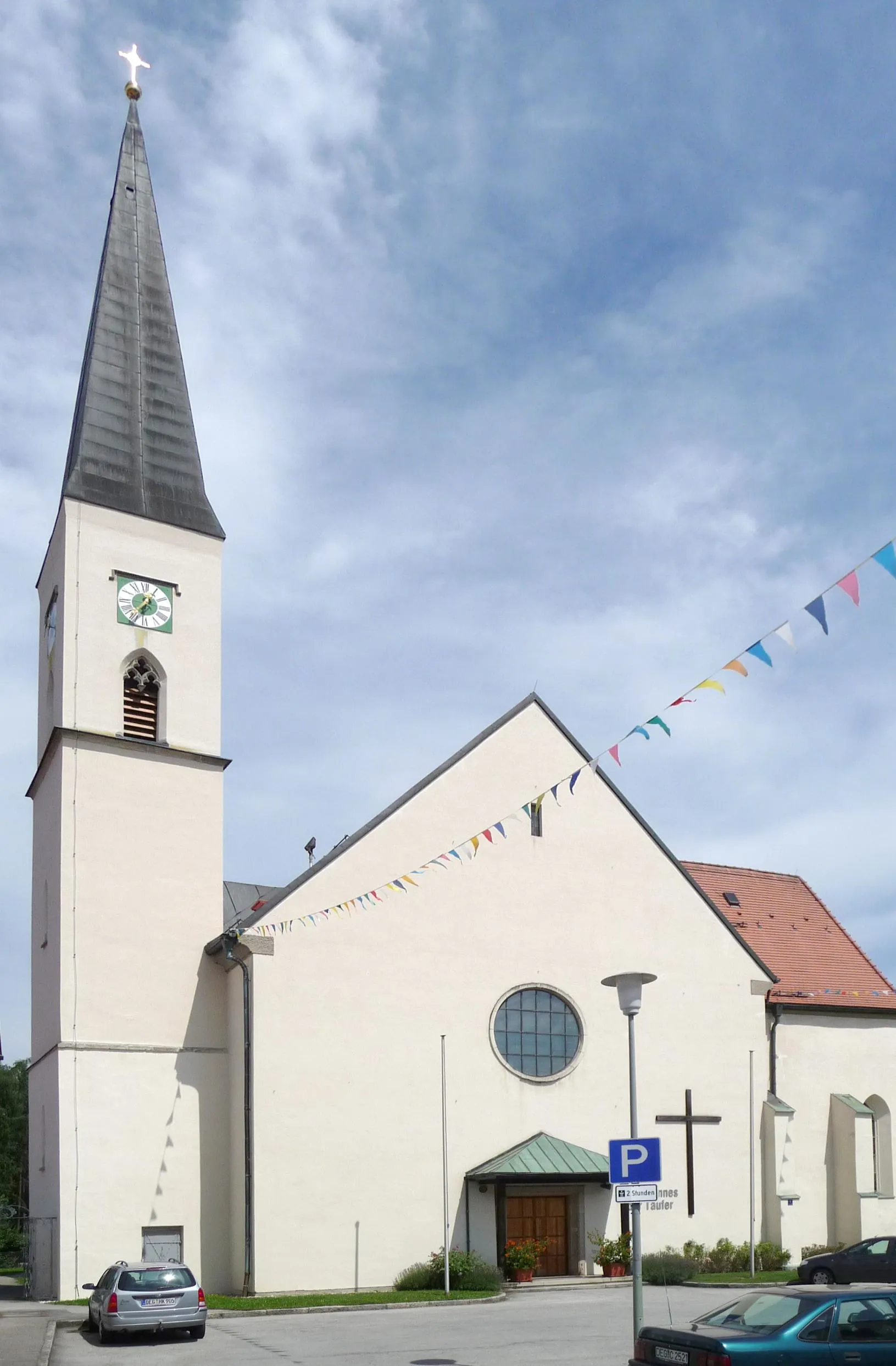
OberkreuzbergVillageOberkreuzberg, located 49 kilometers into the route, is a famous pilgrimage site with a stunning church perched on top of a hill. The panoramic views from here are simply mesmerizing.
60 km
60 km
Bauernberg534 mPeakBauernberg, situated 60 kilometers into the route, is a picturesque farming area surrounded by rolling hills and colorful fields. Take a moment to appreciate the rural charm and perhaps sample some local produce.
72 km
72 km
EnglburgCastleEnglburg, the final highlight at 72 kilometers into the route, is a historic castle ruin with a rich history. Explore the remains of this medieval fortress and imagine the lives of those who once resided here.
75 km
75 km
Finish: Fürstenstein Village centerFürstenstein: Hidden Cycling Gem in Niederbayern
Cycling routes from Furstenstein:
Countryside and River Cycling Tour Gravel Adventure through Kirchberg vorm Wald Aicha vorm Wald Circuit Fürstenstein Gravel Loop Bavarian Forest Explorer Gravel Adventure to Eging am See Ultimate Challenge: Ponzaun Ascent The Bavarian Gravel Adventure Scenic Route through Niederbayern Countryside Fürsteneck Adventure Niederbayern Classic
Cycling routes nearby: