Journey through the Wilderness of Niederbayern
A gravel cycling route starting from Sonnen
Unleash your adventurous spirit on this thrilling gravel route immersed in the untamed wilderness surrounding Sonnen.
Map
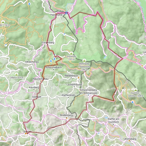
This extraordinary gravel route spans 63 km with an ascent of 1318 m, promising an adrenaline-fueled expedition for gravel enthusiasts. As you venture deeper into the tranquil wilderness, you'll be mesmerized by the untouched natural beauty and secluded villages scattered along the way.
gravel
63 km
1318 m
Tough
Route profile
Highlights on the route
0 km
0 km
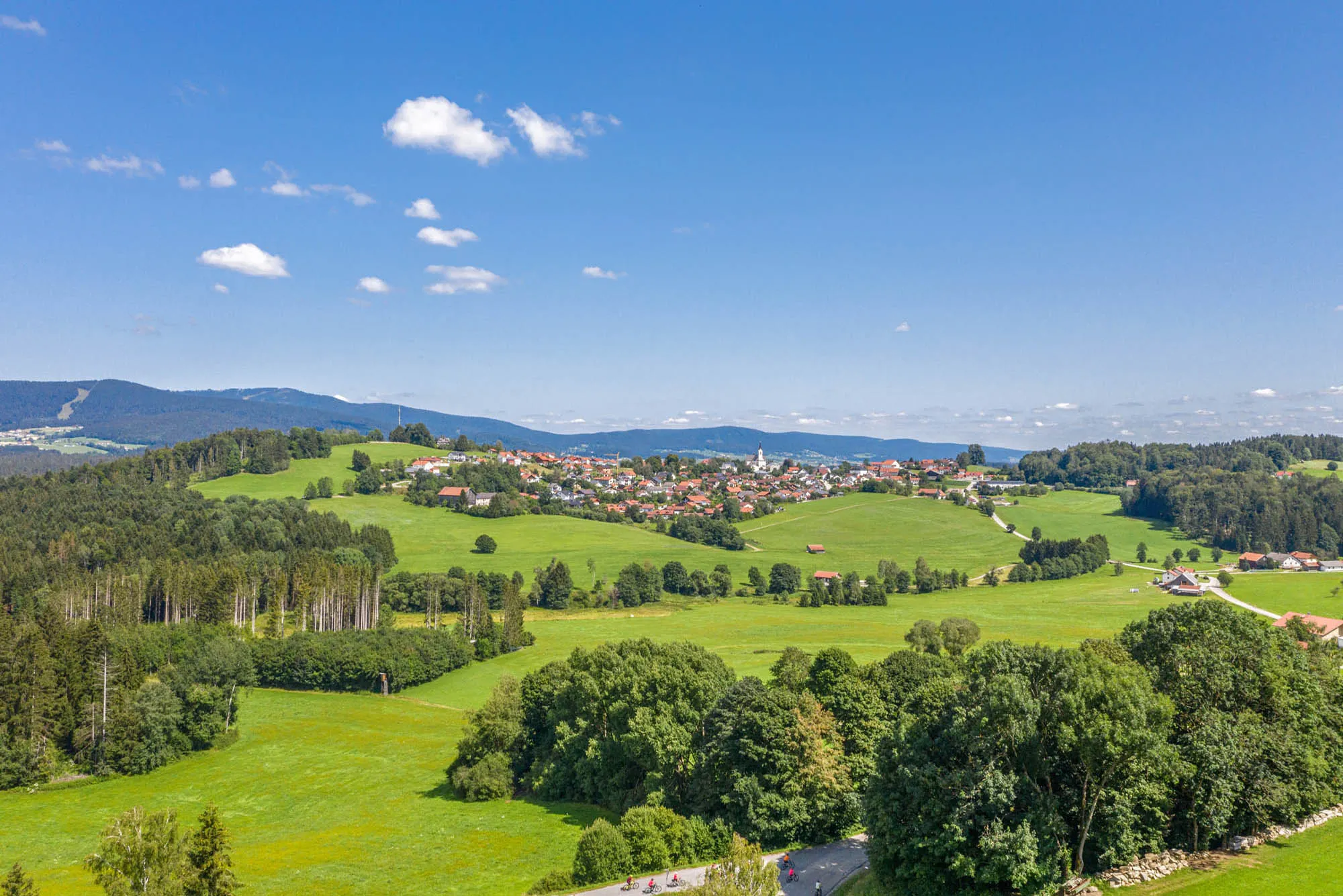
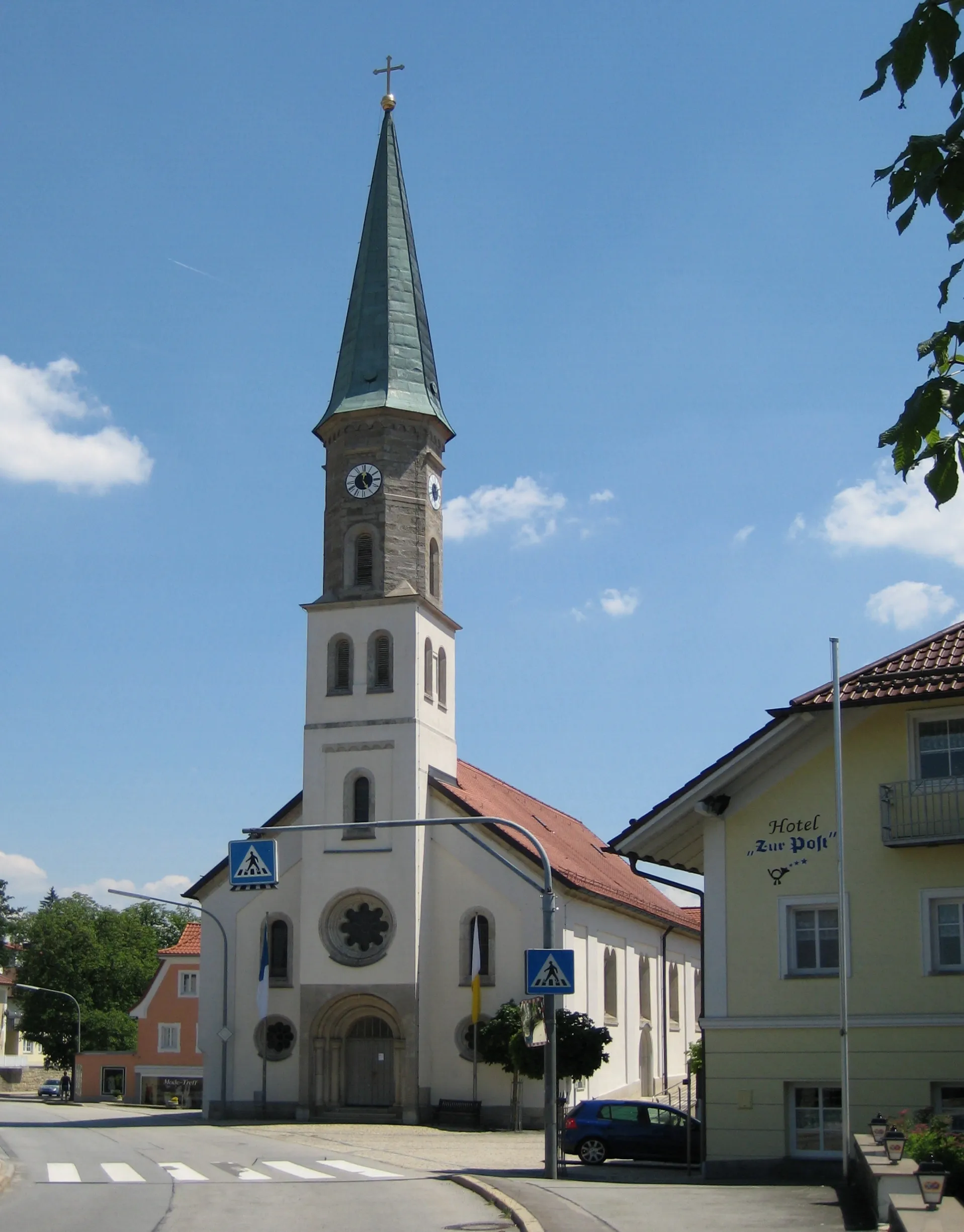
Start: Sonnen Village centerSonnen: Tranquil cycling haven in Niederbayern.
Sonnen, situated in the Niederbayern region of Germany, offers an excellent variety of cycling experiences. This locality is known for its tranquil countryside and well-maintained cycling paths, making it ideal for riders seeking relaxation and scenic beauty. The region is characterized by rolling hills, charming villages, and picturesque landscapes, providing a delightful backdrop for your cycling adventures. Cyclists can explore the Donau-Isar-Hügelland with its gentle inclines or take on challenging routes near the famous Graf Arco climb. If you appreciate lush greenery and a peaceful cycling environment, Sonnen is a destination you won't want to miss.9 km
9 km
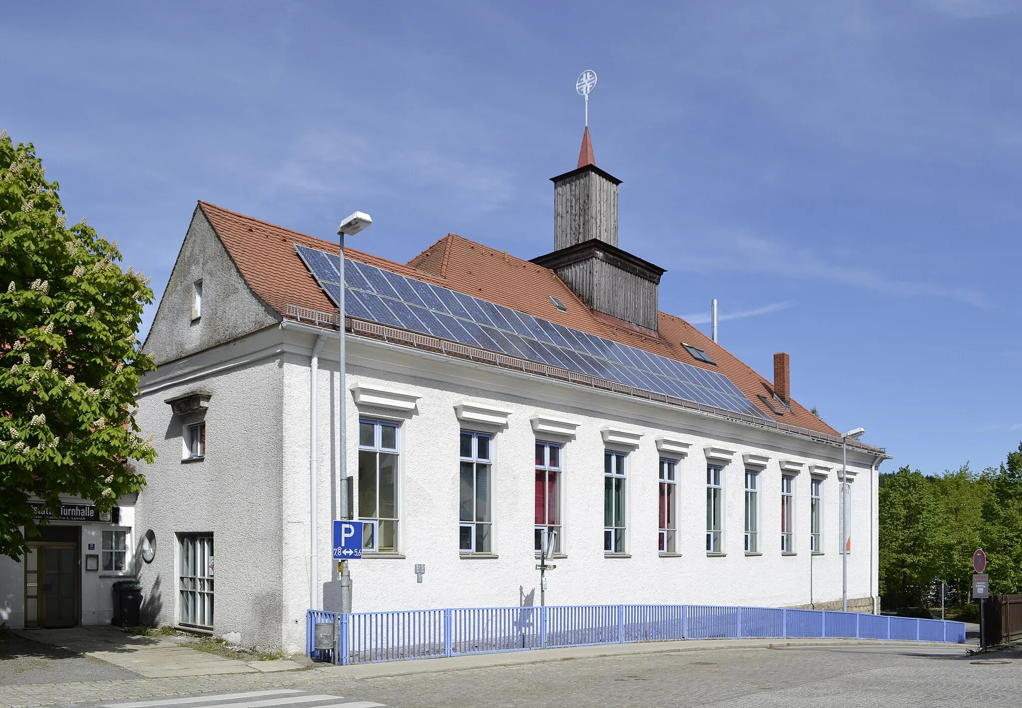
NeureichenauVillageNeureichenau, located 9 km into the route, offers riders a chance to explore the tranquil Doubrava Nature Reserve and enjoy its untouched landscapes.
10 km
10 km
Braunberg706 mPeakBraunberg, at the 10 km mark, treats riders with awe-inspiring views of rolling hills and lush meadows.
16 km
16 km
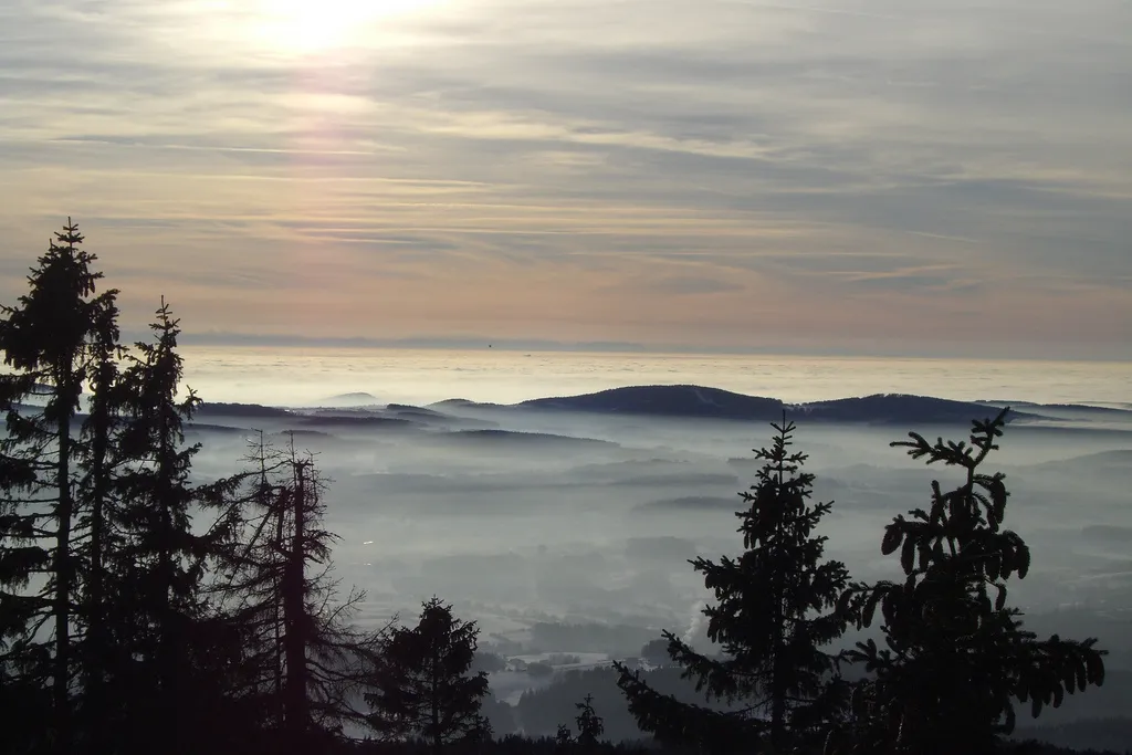
Klausgupf929 mPeakKlausgupf, situated at 16 km, presents riders with enchanting views of untouched forests and scenic valleys.
23 km
23 km
HaidmühleVillageHaidmühle, at the 23 km mark, immerses riders in a peaceful atmosphere and showcases the region's history with its centuries-old buildings.
31 km
31 km
Vrchoviště937 mPeakVrchoviště, located at 31 km, takes riders through dense forests and delights with hidden lakes and charming wooden cottages.
41 km
41 km
Steinwand1054 mPeakSteinwand, at the 41 km point, offers cyclists a captivating ride through rocky terrains and showcases unique geological formations.
49 km
49 km
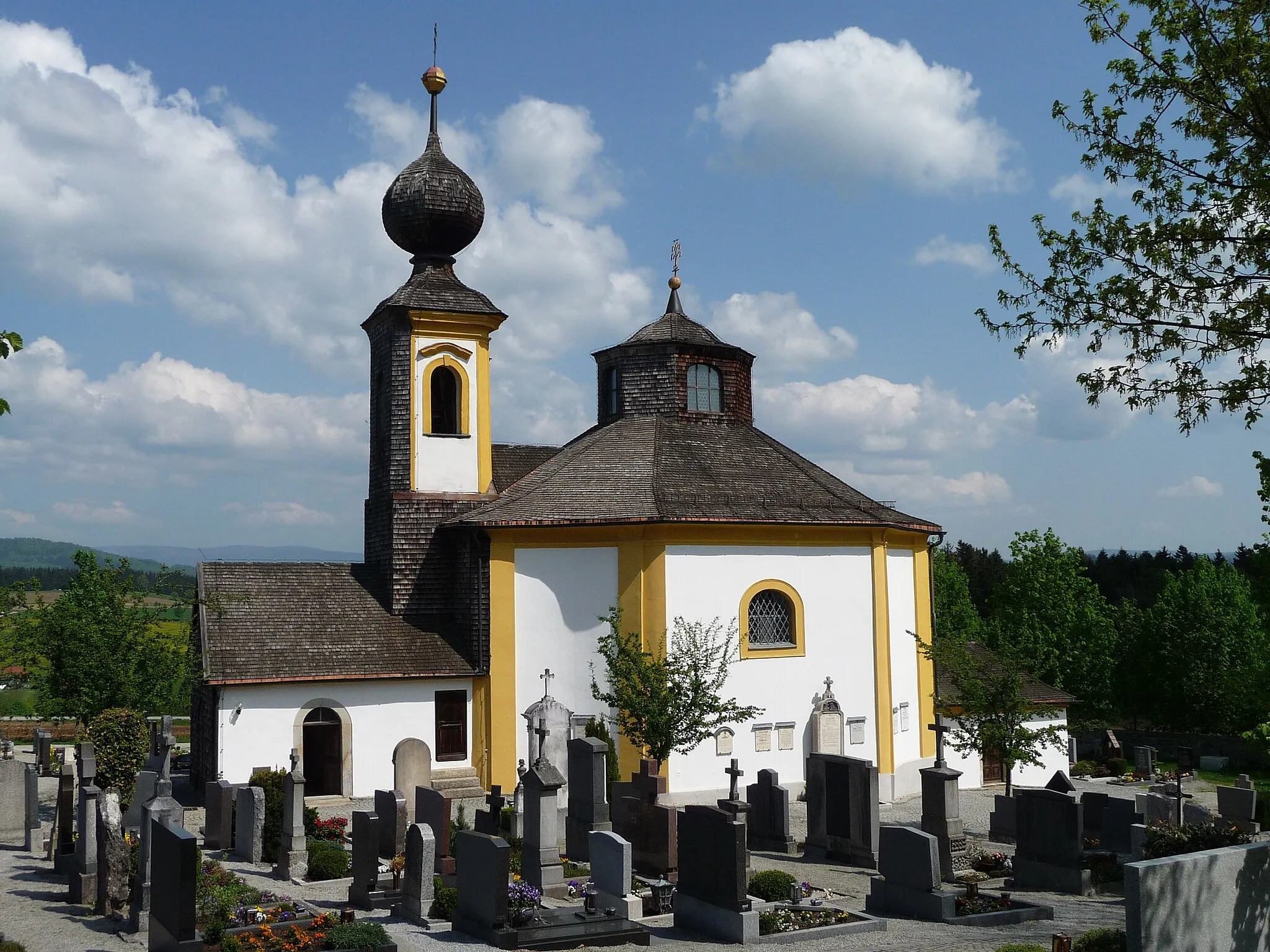
Schwarzenberg am BöhmerwaldVillageSchwarzenberg am Böhmerwald, situated at 49 km, captivates riders with its traditional Bavarian architecture and idyllic countryside setting.
56 km
56 km
Nanzelberg692 mPeakNanzelberg, at 56 km, rewards cyclists with stunning views of untouched nature and a refreshing stop at the local beer garden.
58 km
58 km
SchönberghäuserVillageSchönberghäuser, located at 58 km, invites riders to explore its captivating natural trails and enjoy breathtaking vistas over the rolling hills.
63 km
63 km
RannabergHamletRannaberg, situated at the 63 km mark, treats riders with winding paths and magnificent viewpoints of the surrounding wilderness.
63 km
63 km
Finish: Sonnen Village centerSonnen: Tranquil cycling haven in Niederbayern.
Cycling routes from Sonnen:
Discover the Hidden Jewels of Sonnen Sonnen to Rannaberg Road Loop The Majestic Mountain Climb Cultural and Scenic Road Expedition Panoramic Tour of Lush Landscapes The Waldkirchen Adventure Off-Road Adventure Through Quaint Villages Journey through the Wilderness of Niederbayern Niederbayern Gravel Loop Gravel Expedition Through Enchanting Wilderness The Forest Adventure Niederbayern Road Adventure
Cycling routes nearby: