The Gravel Loop
A gravel cycling route starting from Waldkirchen
Get off the beaten path and explore the gravel roads near Waldkirchen
Map
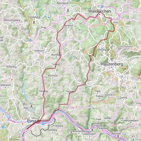
Uncover the hidden gems of the countryside near Waldkirchen on this thrilling gravel adventure. With a distance of 61 kilometers and an elevation gain of 1101 meters, this route is suitable for gravel enthusiasts looking for a challenge. Traverse through the scenic routes of Erlauzwiesel, Steinberg, Thyrnau, Donaublick, Wetterpilz, Büchlberg, and back to Waldkirchen. Immerse yourself in the rugged beauty of the surrounding nature and experience the adrenaline rush of gravel cycling. Prepare to be captivated by the untouched landscapes and panoramic views.
gravel
61 km
1101 m
Tough
Route profile
Highlights on the route
0 km
0 km
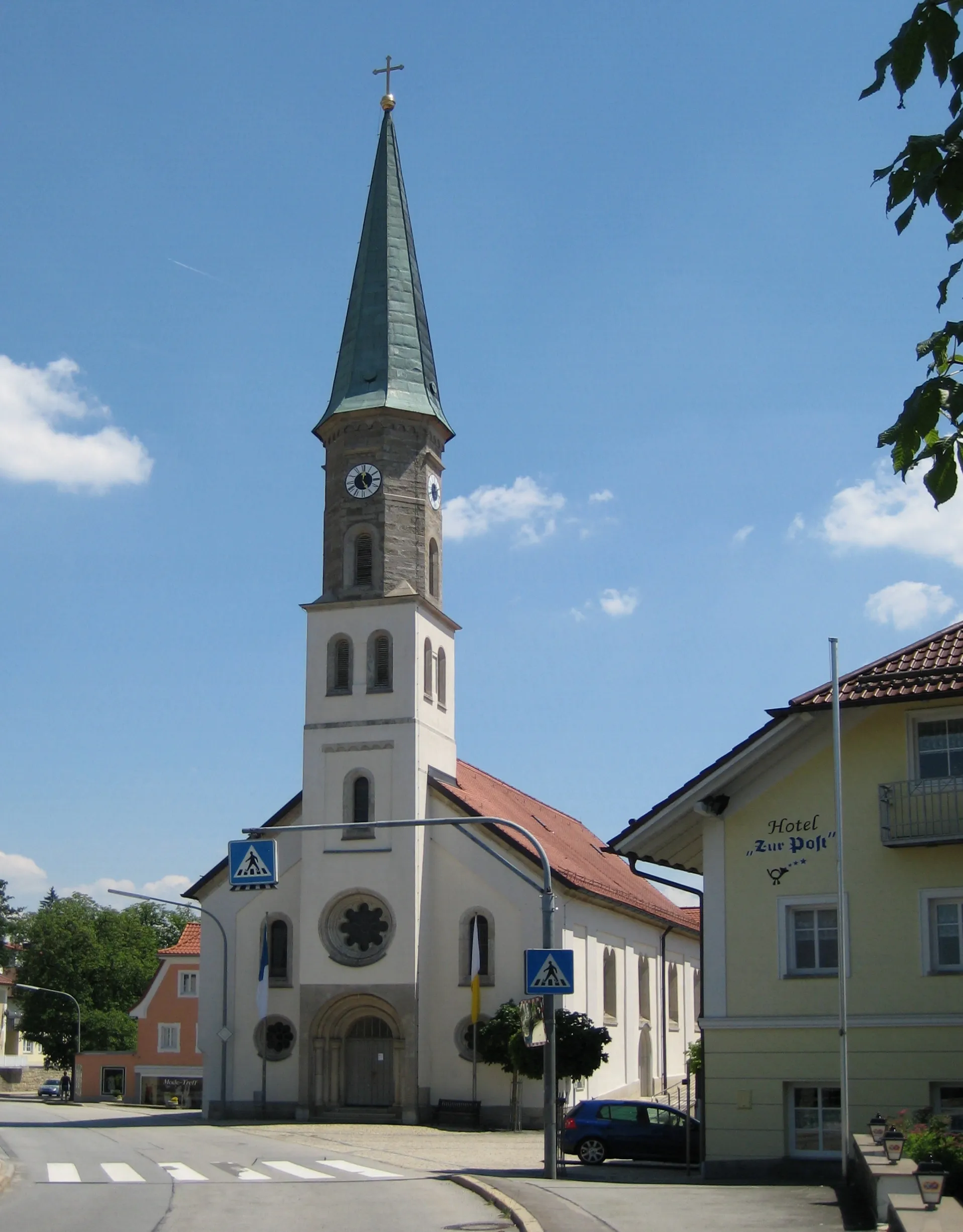
Start: Waldkirchen City centerWaldkirchen: Scenic town in Niederbayern with diverse terrain for road and gravel cycling.
Waldkirchen is a beautiful town situated in Niederbayern, Germany. As a cyclist, you'll appreciate the town's proximity to both challenging climbs and scenic routes. The region offers a diverse range of terrain, from rolling hills to dense forests, making it suitable for both road and gravel cycling. Additionally, Waldkirchen is home to several well-known cycling spots, including the notorious Toadstool Climb. With its stunning natural beauty and exciting cycling opportunities, Waldkirchen is definitely a destination worth exploring.2 km
2 km
ErlauzwieselVillageExplore the off-road trails near Erlauzwiesel and venture into uncharted territory.
10 km
10 km
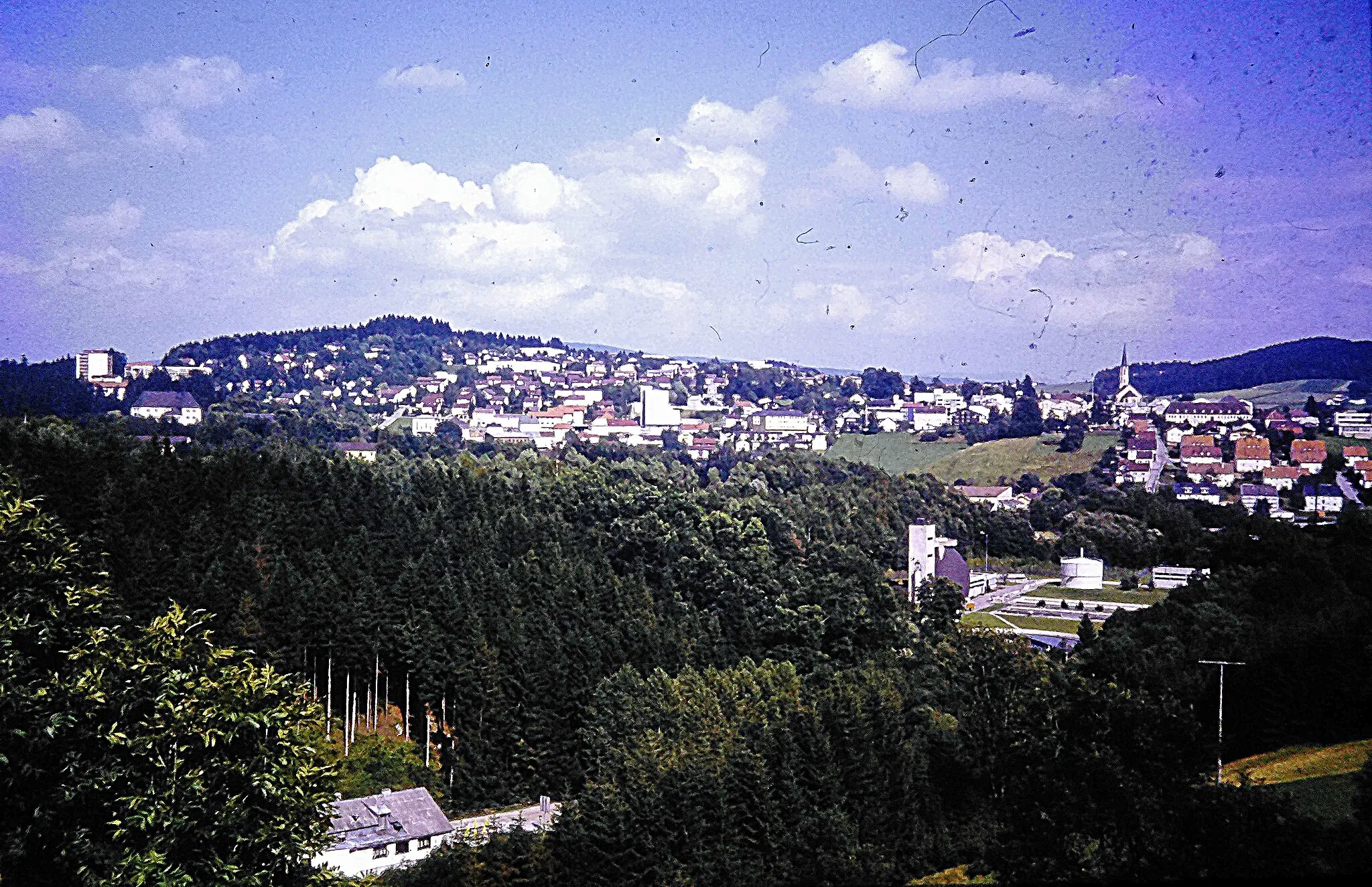
Steinberg830 mPeakPass through the quaint village of Steinberg and admire the traditional Bavarian architecture.
20 km
20 km
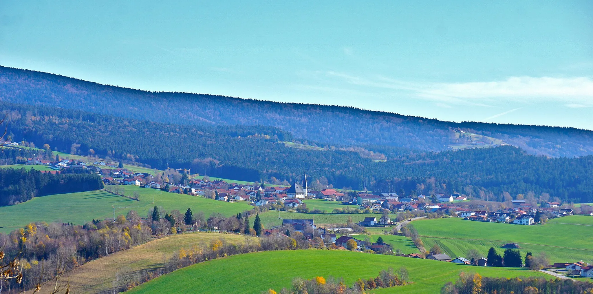
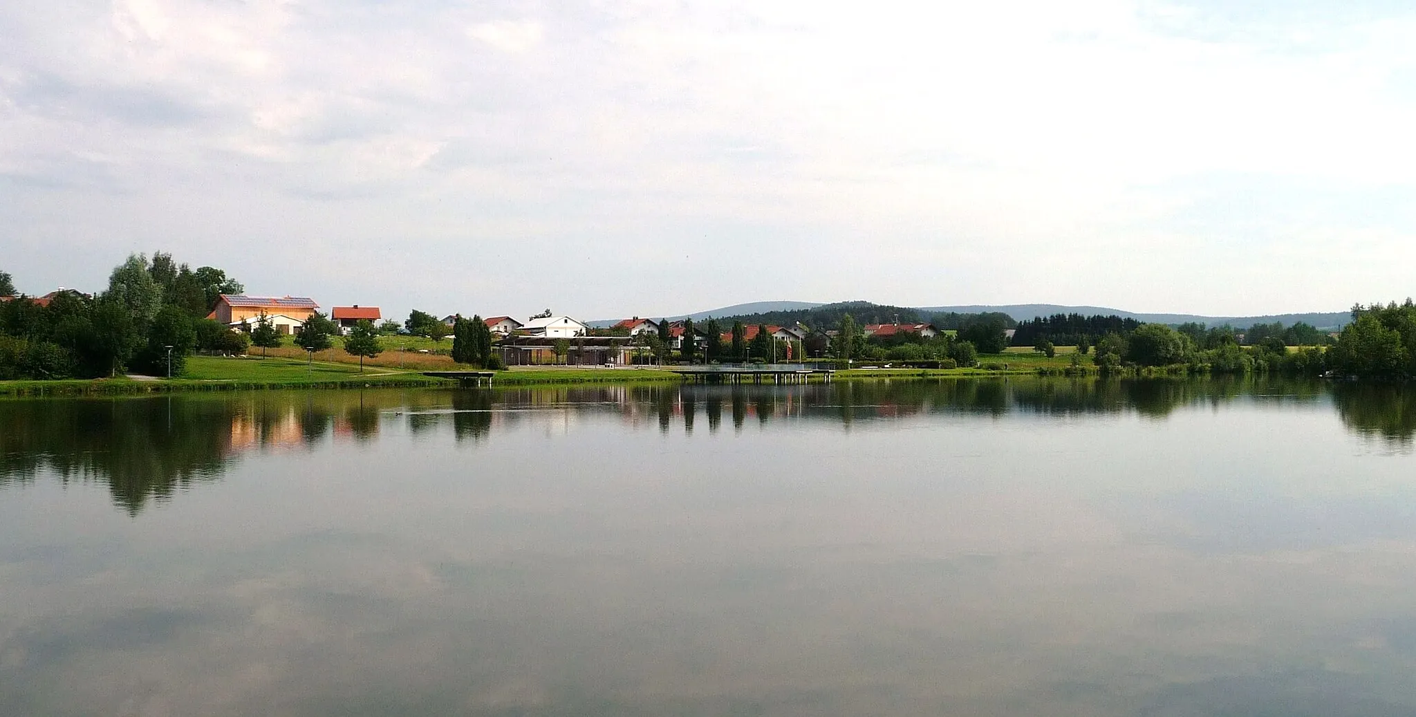
ThyrnauVillageExperience the challenging terrain of Thyrnau and push your gravel cycling skills to the limit.
27 km
27 km
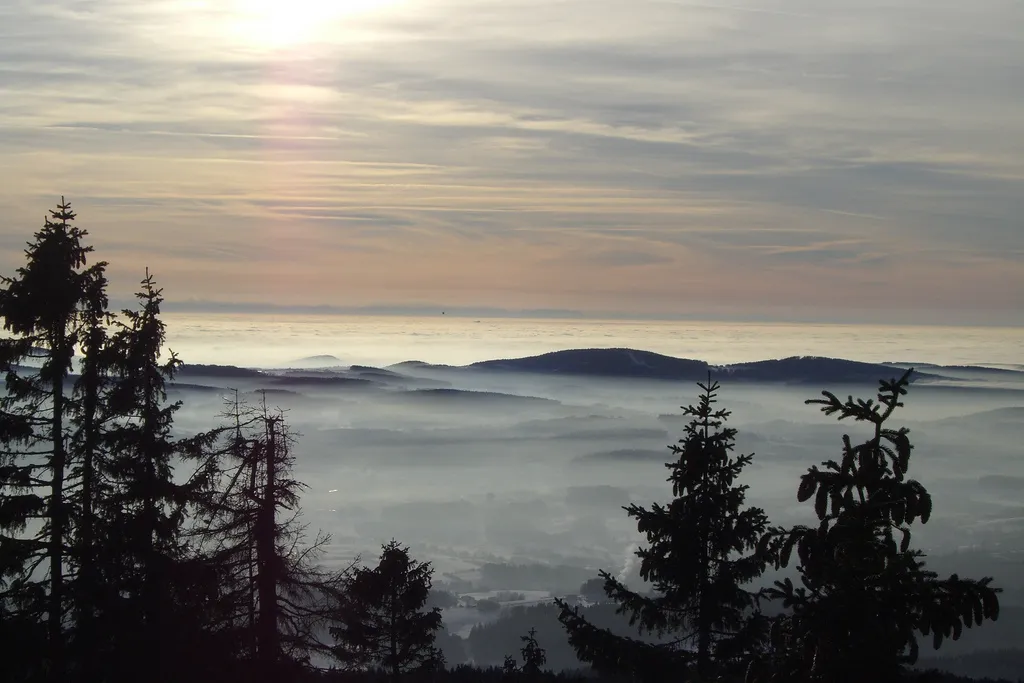
DonaublickViewpointTake a moment at Donaublick to enjoy the breathtaking views of the Danube River.
34 km
34 km
WetterpilzViewpointDiscover the unique Wetterpilz, a weather shelter constructed from logs, along the route.
47 km
47 km
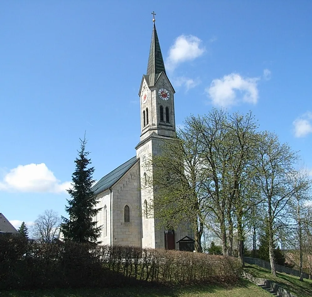
BüchlbergVillageStop by Büchlberg and immerse yourself in the peaceful atmosphere of this rural village.
61 km
61 km
WaldkirchenTownStart and end your journey in Waldkirchen, a cycling paradise nestled in the heart of nature.
61 km
61 km
Finish: Waldkirchen City centerWaldkirchen: Scenic town in Niederbayern with diverse terrain for road and gravel cycling.
Cycling routes from Waldkirchen:
Cycling routes nearby: