Wegscheid to Krinning Gravel Cycling Adventure
A gravel cycling route starting from Wegscheid
Embark on an exhilarating gravel cycling adventure from Wegscheid to Krinning.
Map
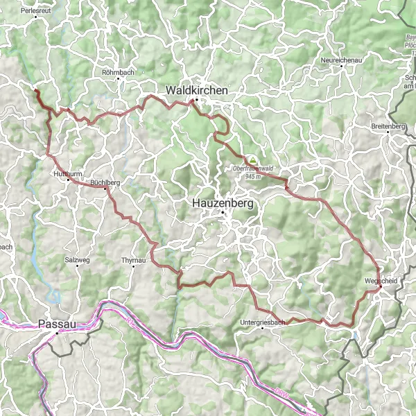
Thrill-seekers will love this 87 km gravel cycling adventure from Wegscheid to Krinning. With a challenging ascent of 1633 meters, this route is only suitable for experienced cyclists. Immerse yourself in the raw beauty of the Bavarian countryside as you conquer this epic route.
gravel
87 km
1633 m
Savage
Route profile
Highlights on the route
0 km
0 km
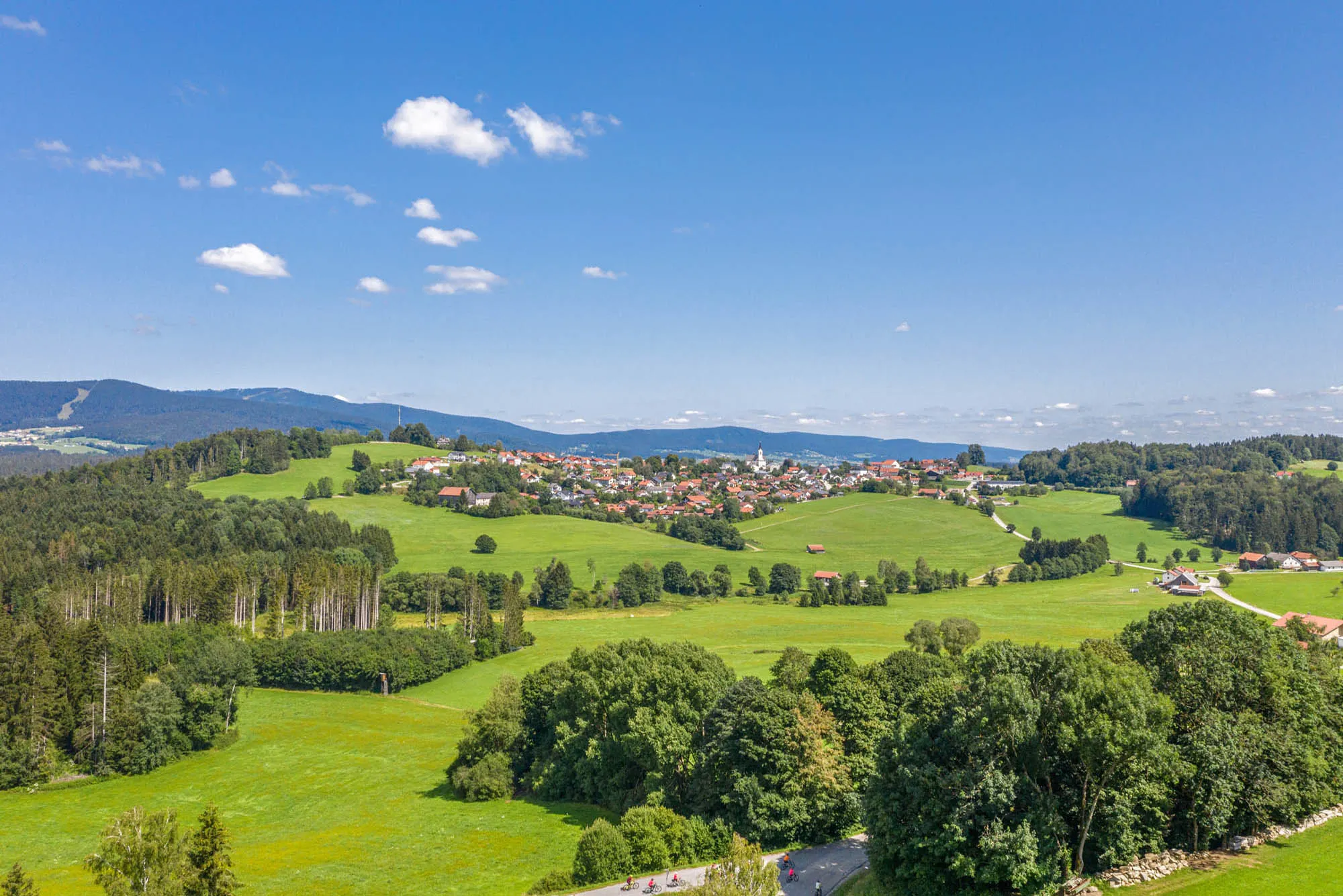
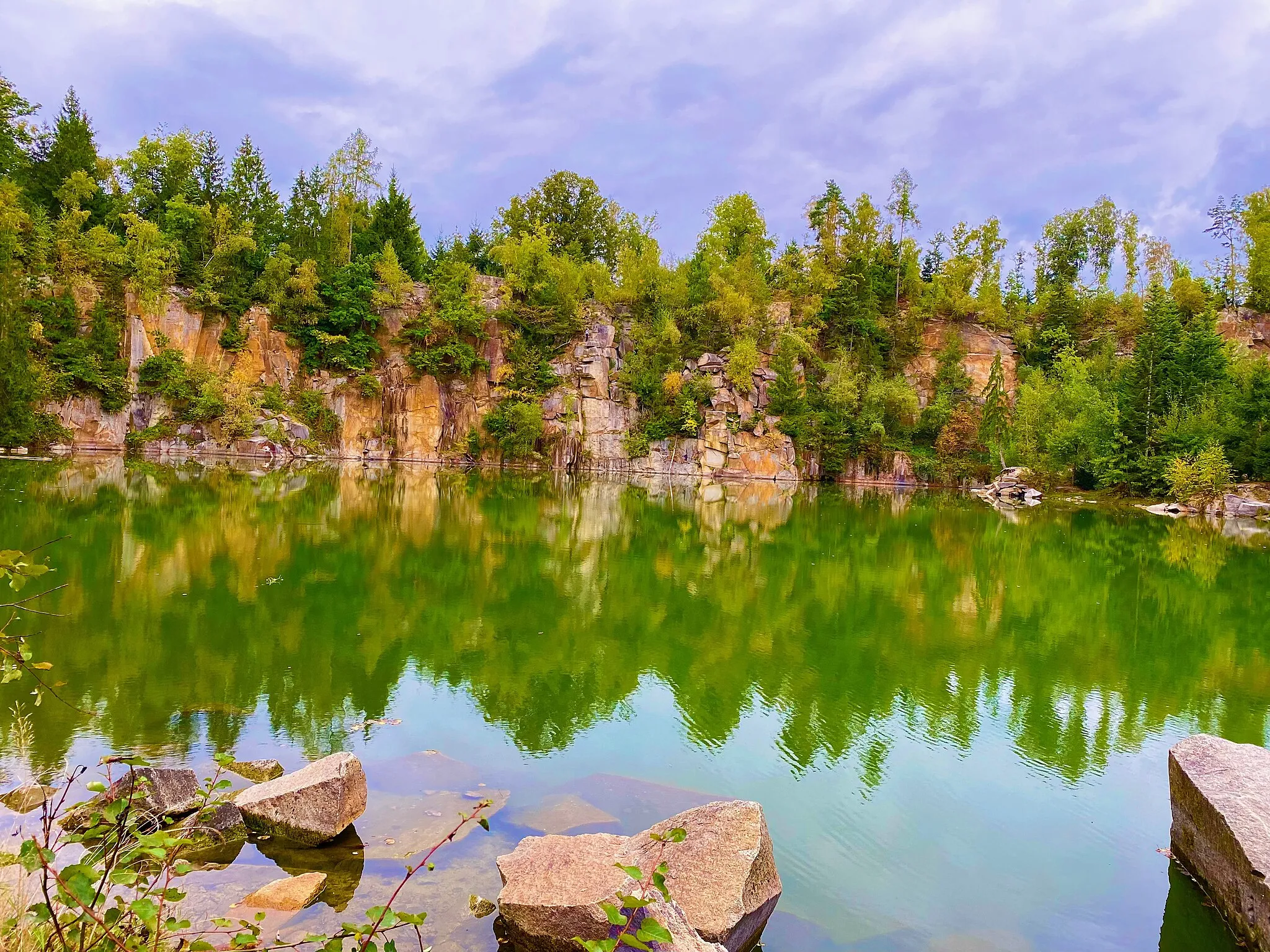
Start: Wegscheid Village centerWegscheid: Experience the enchanting countryside and traditional villages of Wegscheid, Germany.
Wegscheid is a locality located in Niederbayern, Germany. From a cyclist's perspective, Wegscheid offers a mix of scenic road routes and gravel paths. Cyclists can enjoy riding through picturesque countryside and charming Bavarian villages. The locality is surrounded by rolling hills, providing cyclists with some elevation changes and a few challenging climbs. Although there are no famous cycling spots or well-known climbs in this area, Wegscheid is a suitable destination for road and gravel cyclists looking for a peaceful and serene cycling experience.0 km
0 km
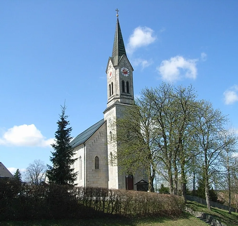
WegscheidVillageStart your journey in Wegscheid, a charming Bavarian town known for its picturesque landscape.
15 km
15 km
SchaibingVillagePass through Schaibing, a quaint village with traditional Bavarian architecture and a friendly atmosphere.
33 km
33 km
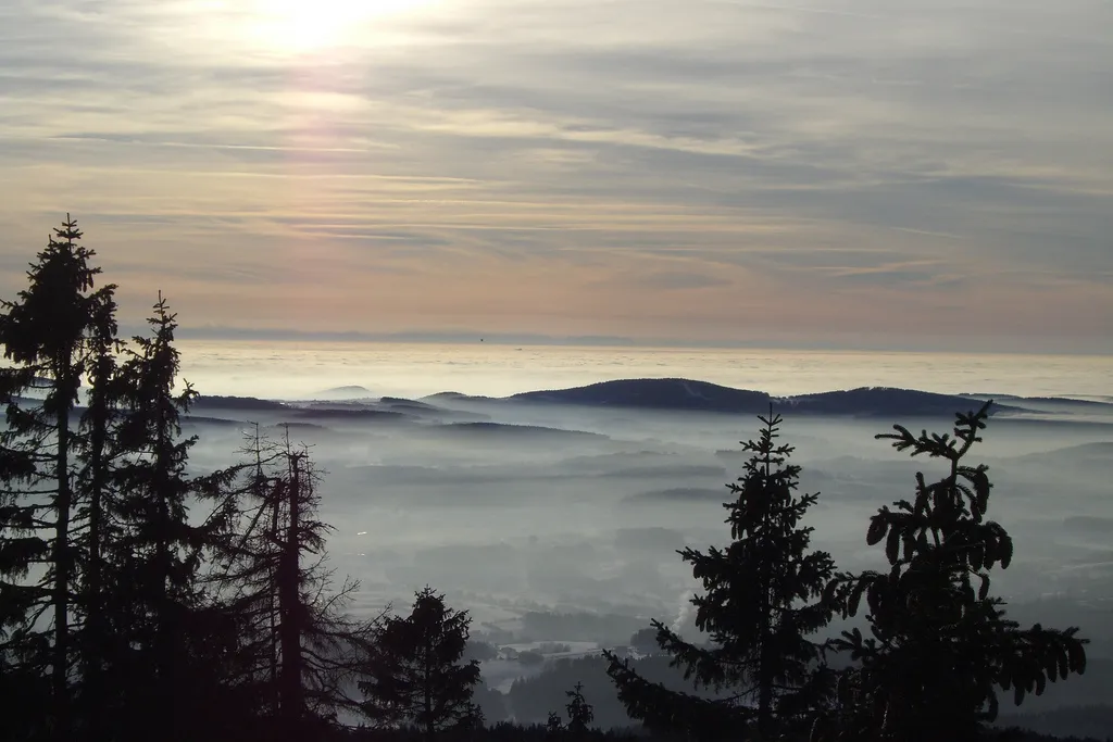
Aussichtsturm BüchlbergViewpointClimb up to Aussichtsturm Büchlberg, an impressive viewing tower that offers panoramic views of the surrounding countryside.
33 km
33 km
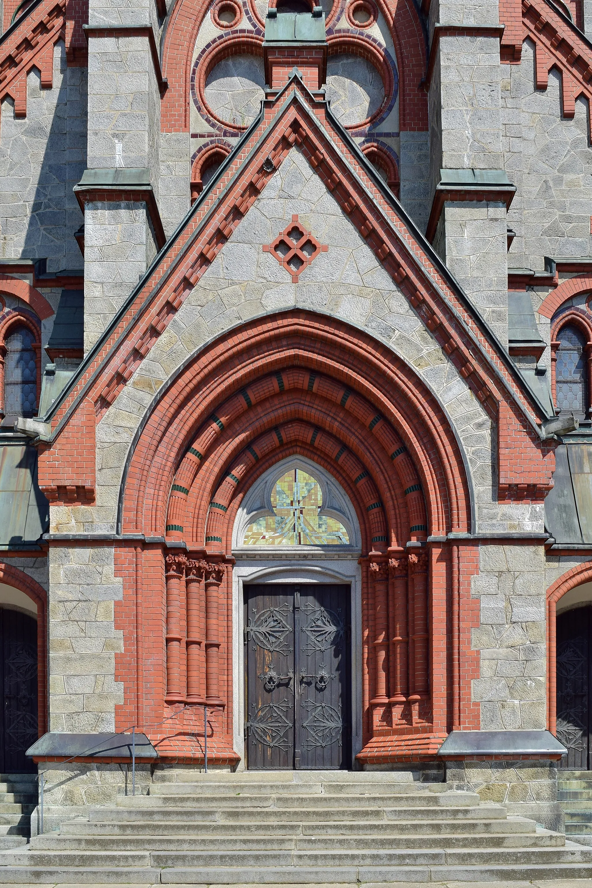
BüchlbergVillageExplore Büchlberg, a beautiful Bavarian town renowned for its natural beauty and charming streets.
55 km
55 km
AußernbrünstVillageDiscover Außernbrünst, a peaceful Bavarian village that offers a serene atmosphere.
63 km
63 km
KaroliViewpointTake a moment to relax in Karoli, a small hamlet surrounded by idyllic meadows and rolling hills.
76 km
76 km
KrinningVillagePass through Krinning, a quiet countryside destination perfect for immersing yourself in the beauty of nature.
87 km
87 km
Finish: Wegscheid Village centerWegscheid: Experience the enchanting countryside and traditional villages of Wegscheid, Germany.
Cycling routes from Wegscheid:
Wegscheid to Krinning Gravel Cycling Adventure Mühlkreis Gravel Adventure Wegscheid to Kropfmühl Gravel Cycling Route Wegscheid to Krinning Gravel Cycling Adventure Wegscheid to Burg Krempelstein Road Cycling Route Scenic Connection to Oepping Ameisberg Adventure Wegscheid to Mitterwasser Road Cycling Expedition Wegscheid-Lembach Circular Road Cycling Route Wegscheid-Jochenstein Circular Road Cycling Route
Cycling routes nearby: