Arzberg Gravel Loop
A gravel cycling route starting from Arzberg
A scenic gravel route featuring highlights such as Streuleite and Fuchsmühl
Map
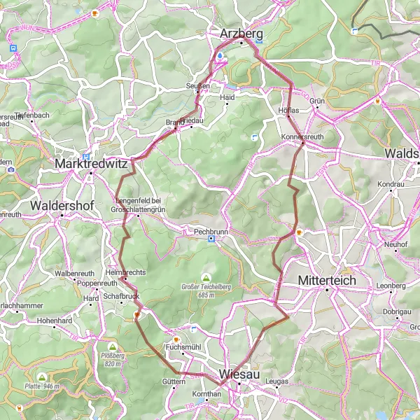
Explore the beautiful countryside near Arzberg on this challenging gravel loop. With a total distance of 48 kilometers and 924 meters of ascent, this route will satisfy your need for adventure. The highlights include Streuleite, known for its panoramic views, and Fuchsmühl, an idyllic village with traditional Bavarian charm. Get ready to be amazed by the stunning landscapes and unique landmarks along the way.
gravel
48 km
924 m
Tough
Route profile
Highlights on the route
0 km
0 km
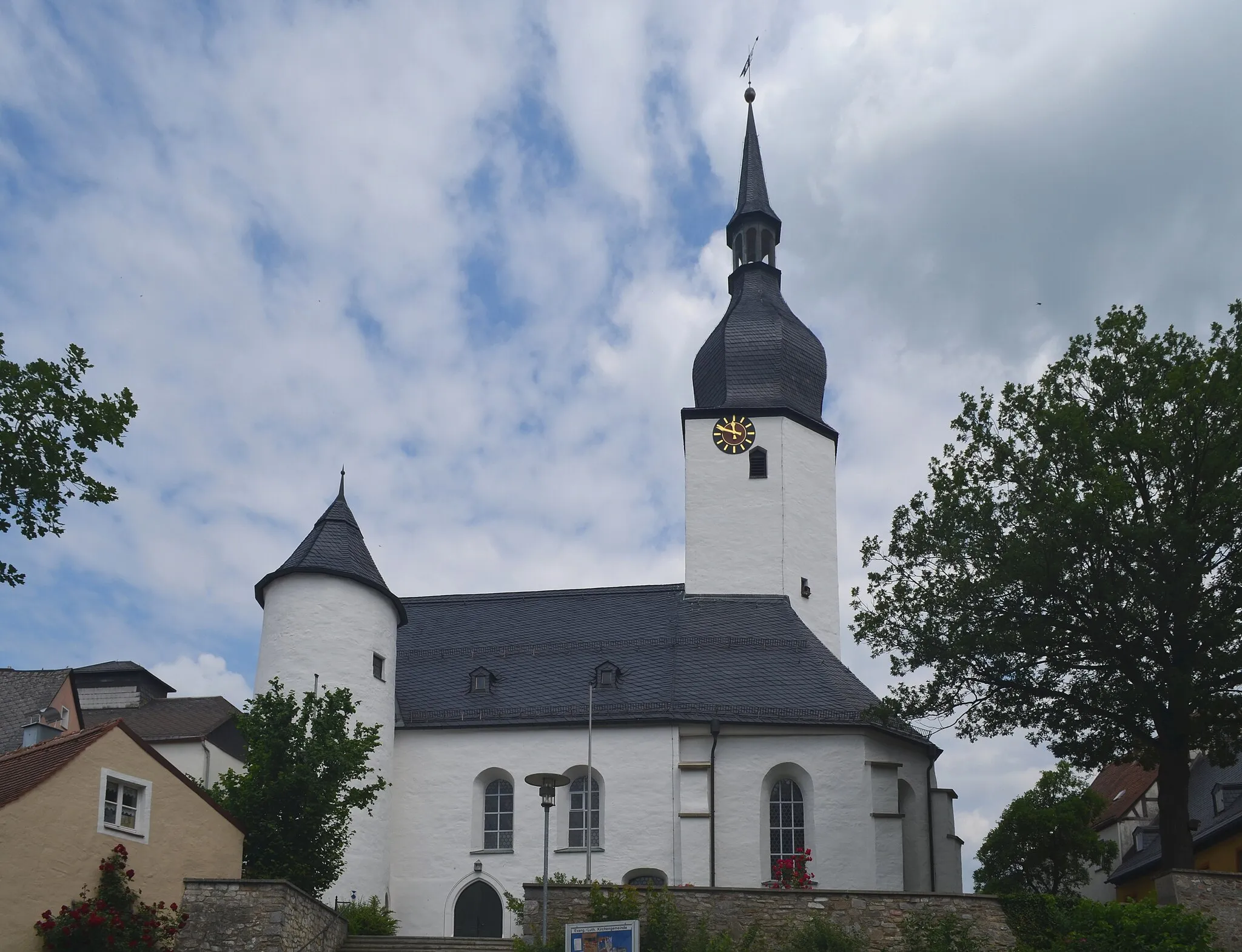
Start: Arzberg City centerArzberg: Arzberg: Where cycling and culture collide.
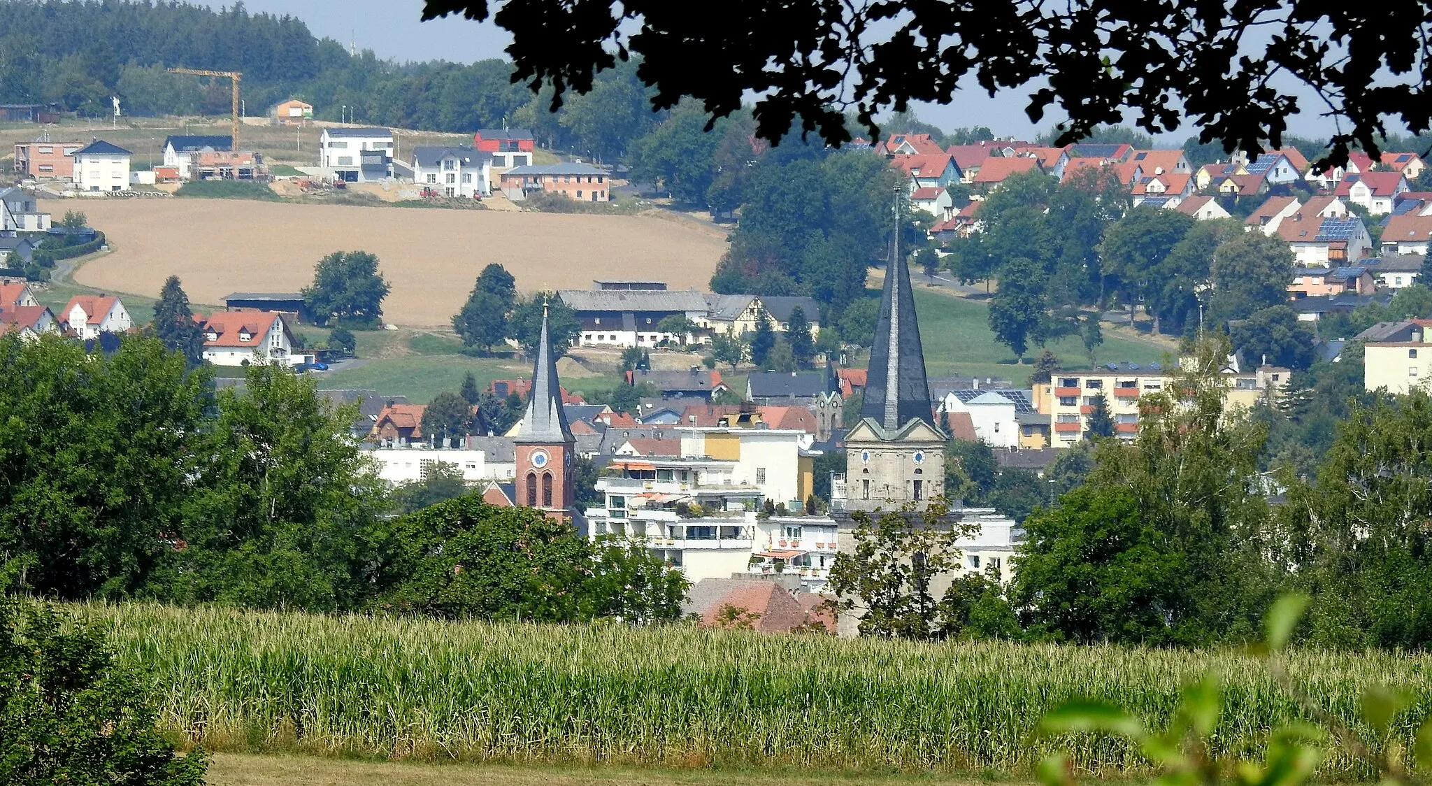
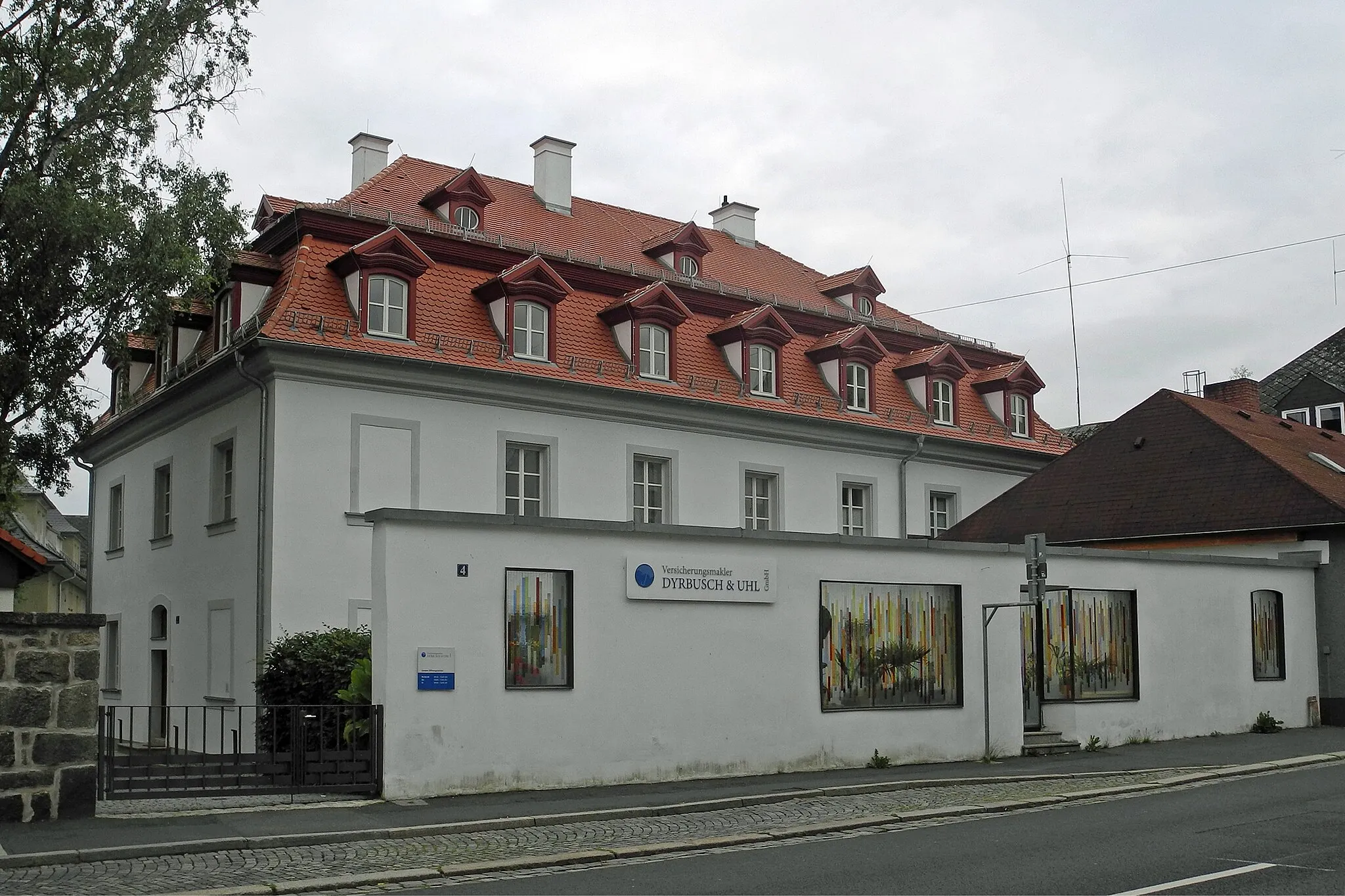
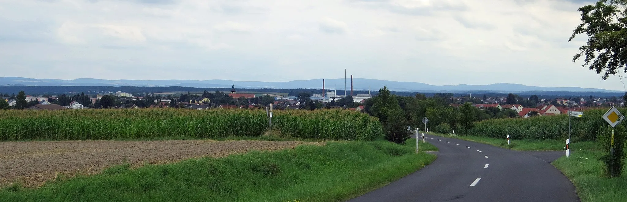
Arzberg, located in Oberfranken, Germany, is a delightful locality for road and gravel cyclists. The region offers a mix of flat and hilly routes with stunning countryside views. Cyclists in Arzberg can explore nearby attractions such as the Schlosskirche and the Porcelain Museum. The locality is also famous for hosting the Arzberg criterium, an annual cycling race that attracts both locals and international participants. With its charming ambiance and cycling-friendly infrastructure, Arzberg receives a rank of 4 on the cyclist perspective scale.0 km
0 km
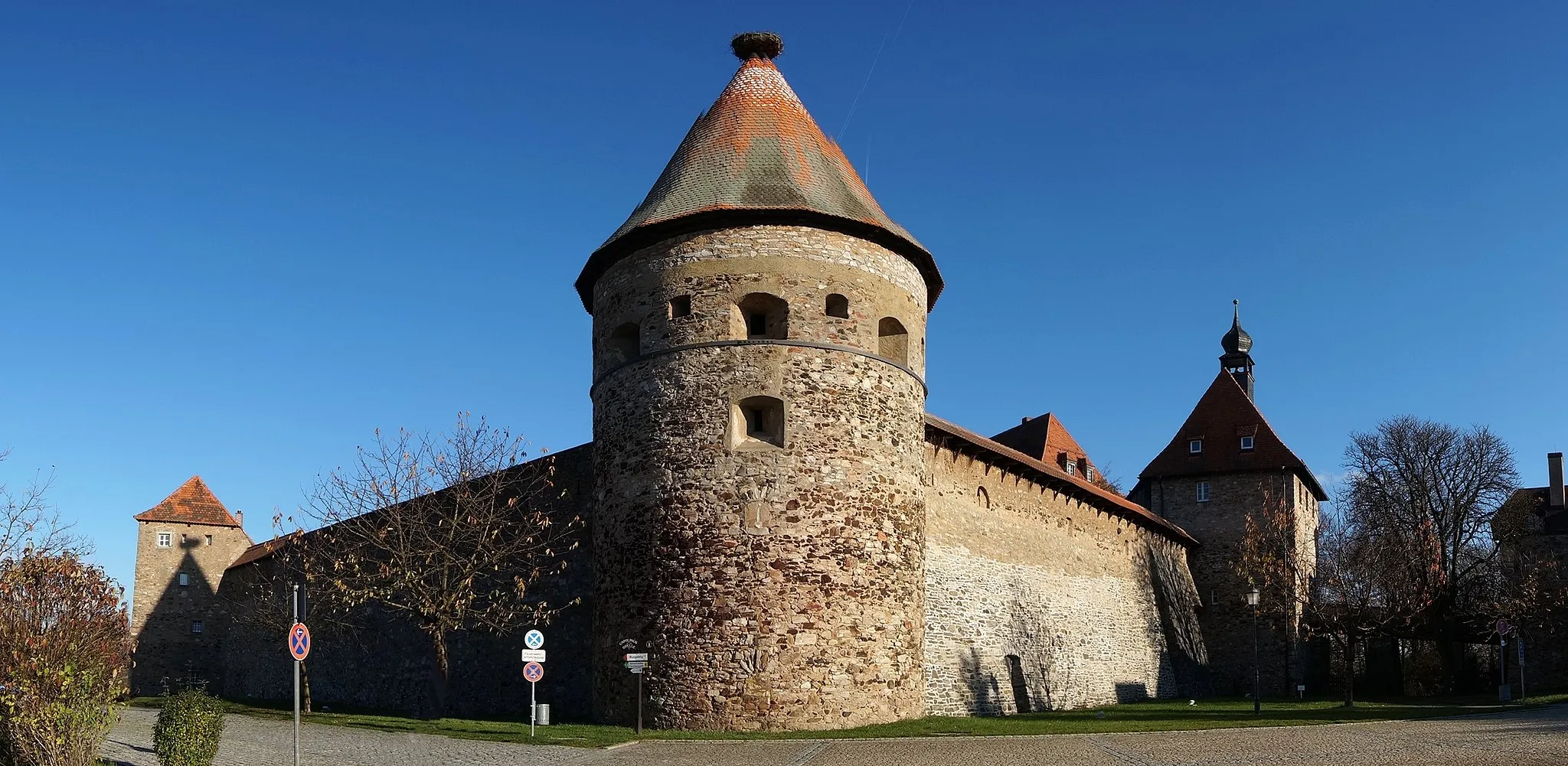
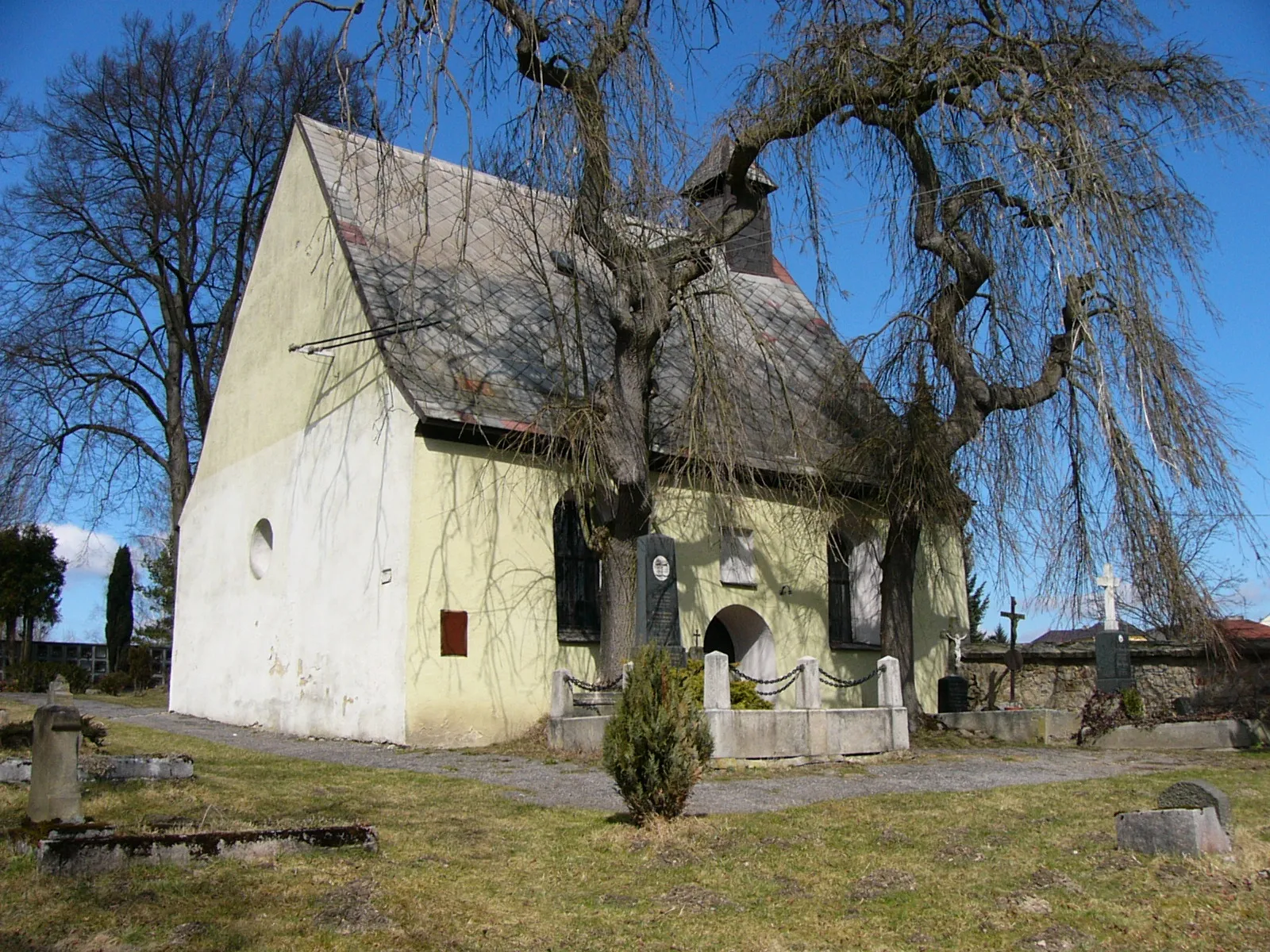
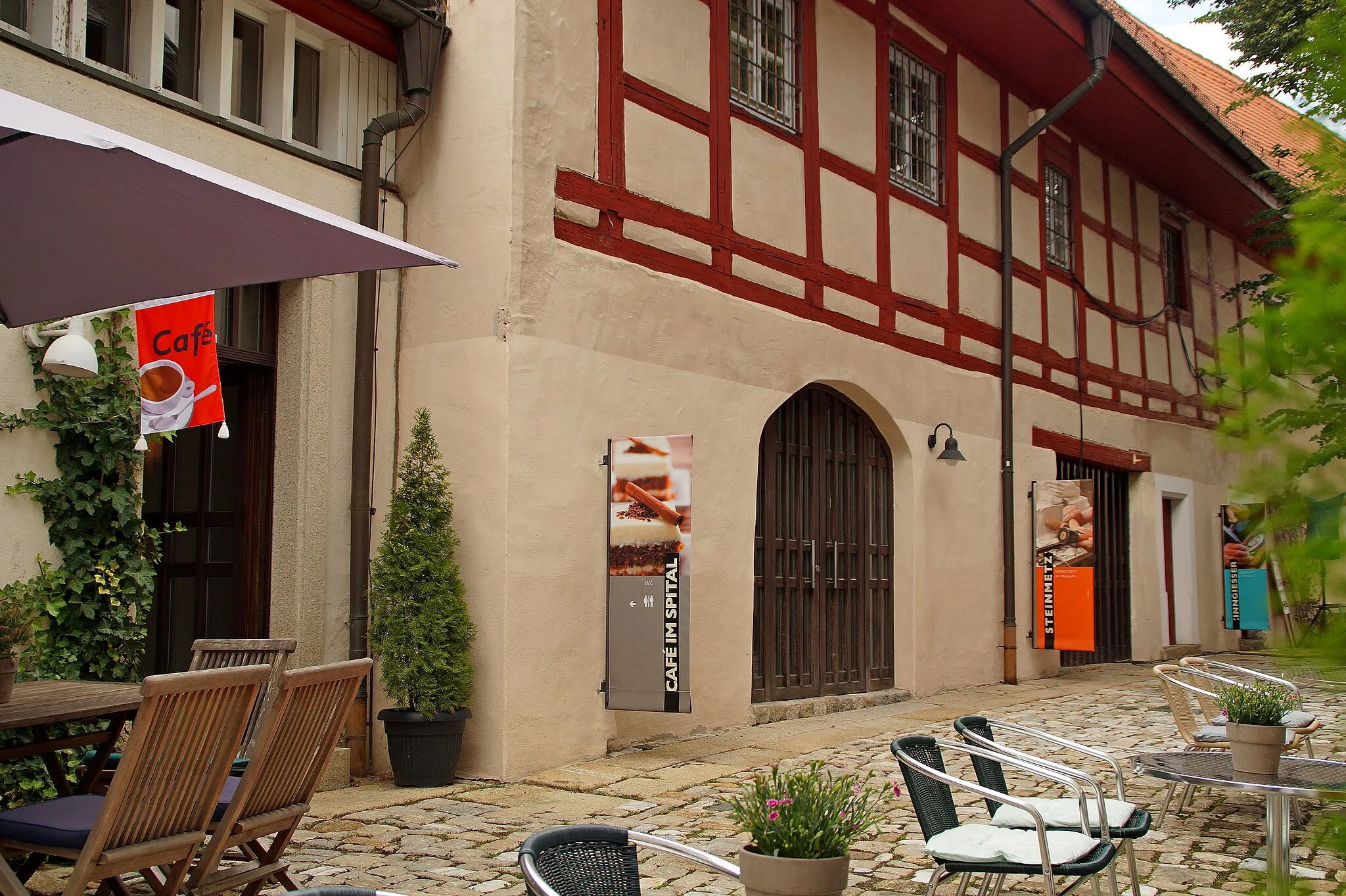
ArzbergTownArzberg - A charming town located at the start of the route. Explore its historical buildings and enjoy a well-deserved break before heading out on the gravel roads.
10 km
10 km
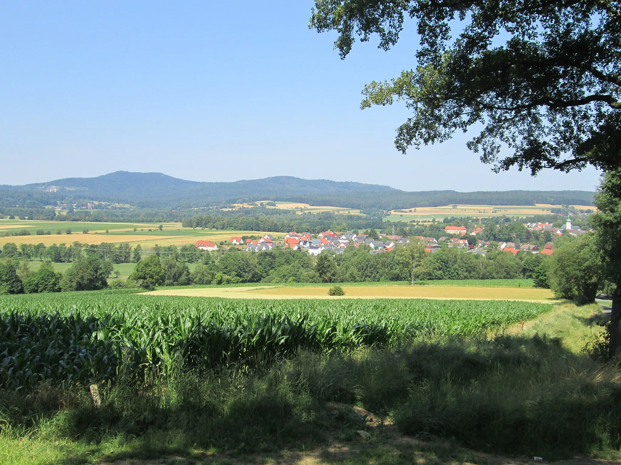
Streuleite582 mPeakStreuleite - A hill that offers breathtaking views of the surrounding countryside. Take a moment to appreciate the beauty of nature and capture some amazing photos.
26 km
26 km
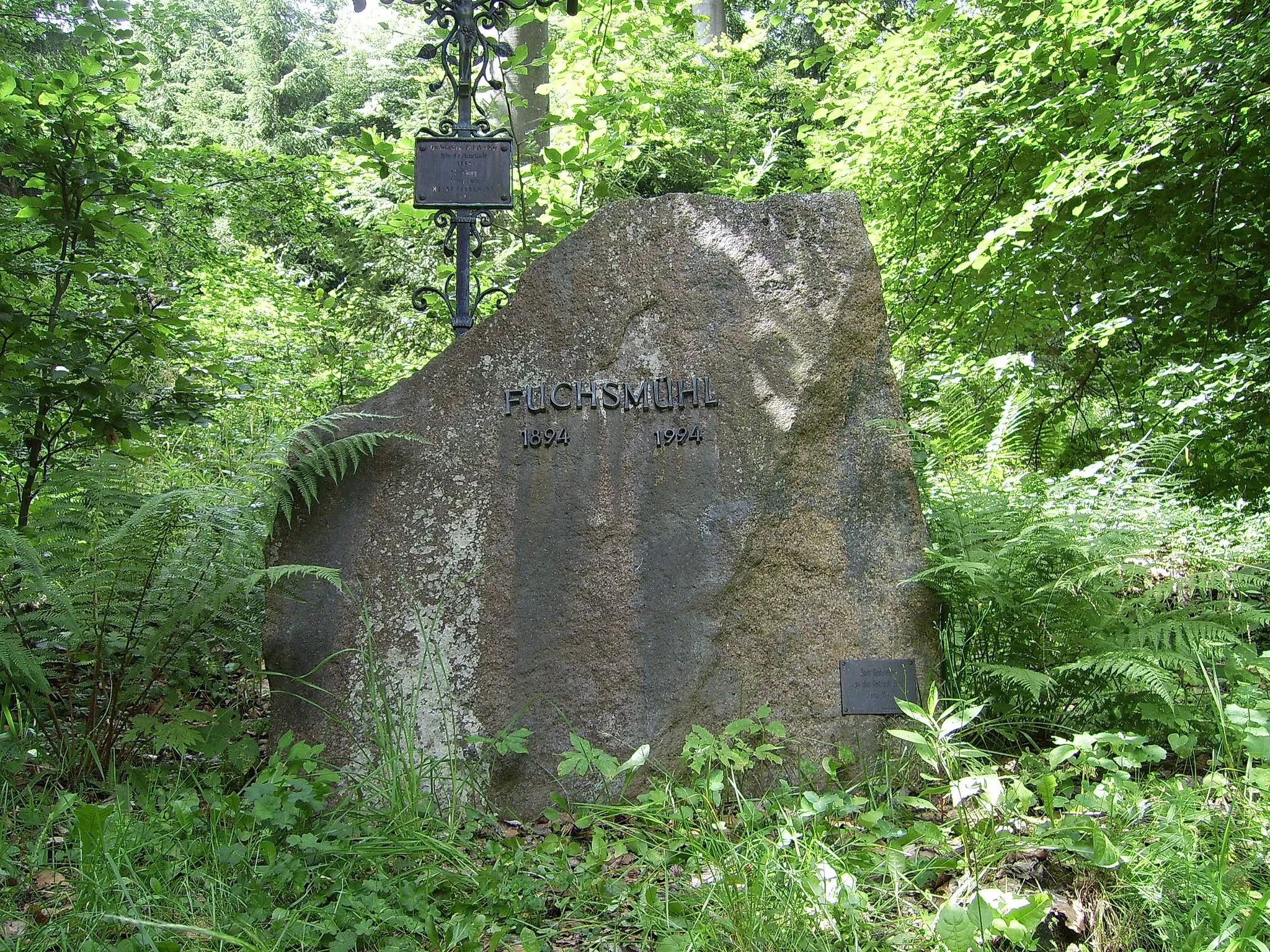
FuchsmühlVillageFuchsmühl - A picturesque village with charming Bavarian architecture. Take a stroll through its streets and soak in the relaxed atmosphere.
27 km
27 km
Hackelstein730 mPeak ViewpointHackelstein - An impressive rock formation that adds a touch of adventure to the route. Admire its unique shape and learn about the local legends surrounding it.
32 km
32 km
Nagelberg652 mPeakNagelberg - A small village with a rich history. Explore its quaint streets and discover its hidden gems, including traditional artisans and delicious local cuisine.
48 km
48 km
Finish: Arzberg City centerArzberg: Arzberg: Where cycling and culture collide.
Cycling routes nearby: