Ultimate Gravel Challenge
A gravel cycling route starting from Arzberg
Unleash your inner adventurer on this ultimate gravel challenge with highlights such as Ochsenkopf and Frauenberg
Map
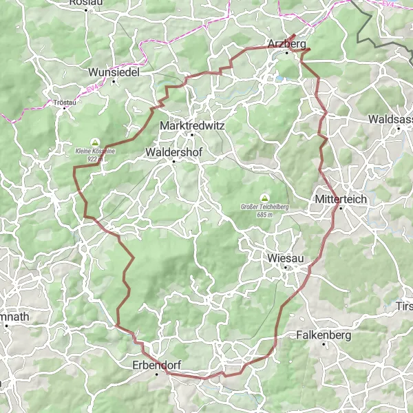
Embark on the ultimate gravel challenge near Arzberg, where adventure meets nature. With 1355 meters of ascent and a total distance of 87 kilometers, this route is designed for thrill-seekers. Explore the mystical Ochsenkopf, a peak offering jaw-dropping panoramic views that will leave you speechless. Journey through picturesque villages, including Frauenberg, known for its stunning landscapes and old-world charm. This epic route demands endurance, strength, and a love for the great outdoors. Take up the challenge and discover the hidden gems of the region.
gravel
87 km
1355 m
Tough
Route profile
Highlights on the route
0 km
0 km
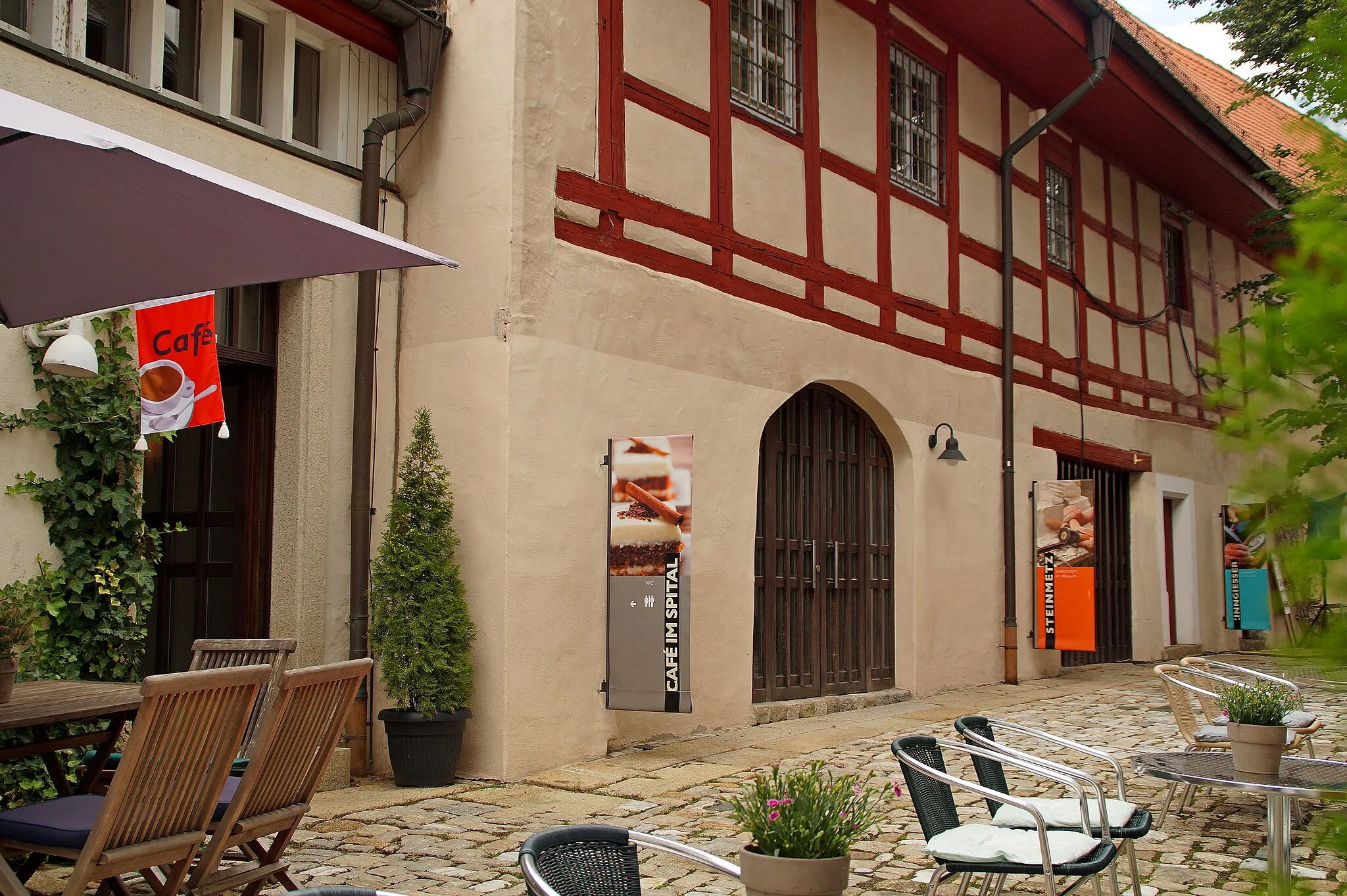
Start: Schlottenhof Village centerArzberg: Arzberg: Where cycling and culture collide.
Arzberg, located in Oberfranken, Germany, is a delightful locality for road and gravel cyclists. The region offers a mix of flat and hilly routes with stunning countryside views. Cyclists in Arzberg can explore nearby attractions such as the Schlosskirche and the Porcelain Museum. The locality is also famous for hosting the Arzberg criterium, an annual cycling race that attracts both locals and international participants. With its charming ambiance and cycling-friendly infrastructure, Arzberg receives a rank of 4 on the cyclist perspective scale.1 km
1 km
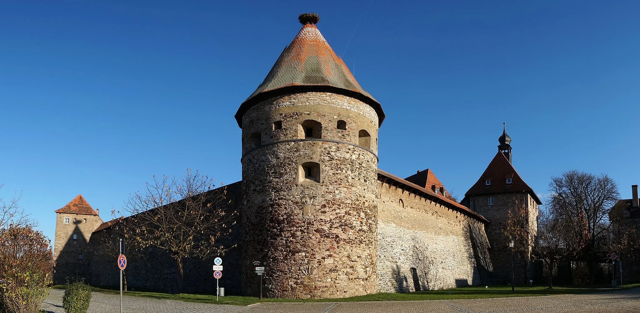
ArzbergTownArzberg - Set off on your ultimate gravel adventure from this historic town. Revel in its rich heritage and savor local culinary delights.
13 km
13 km
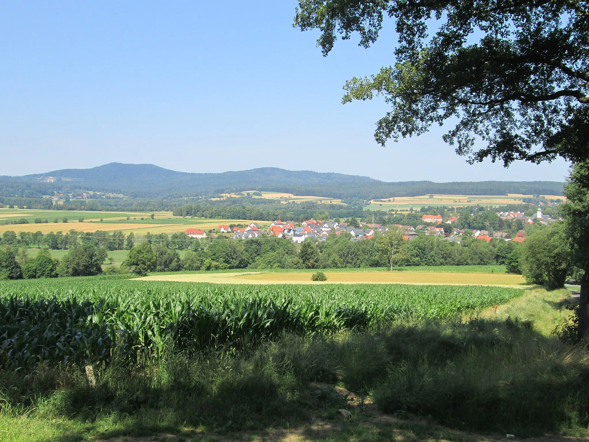
Streuleite582 mPeakStreuleite - Climb to the top of this hill and embrace breathtaking vistas of the surrounding countryside. Experience a sense of accomplishment and reward for your efforts.
35 km
35 km
Schrollenbühl507 mPeakSchrollenbühl - Traverse through this picturesque village, immersing yourself in its charm and unhurried pace of life.
37 km
37 km
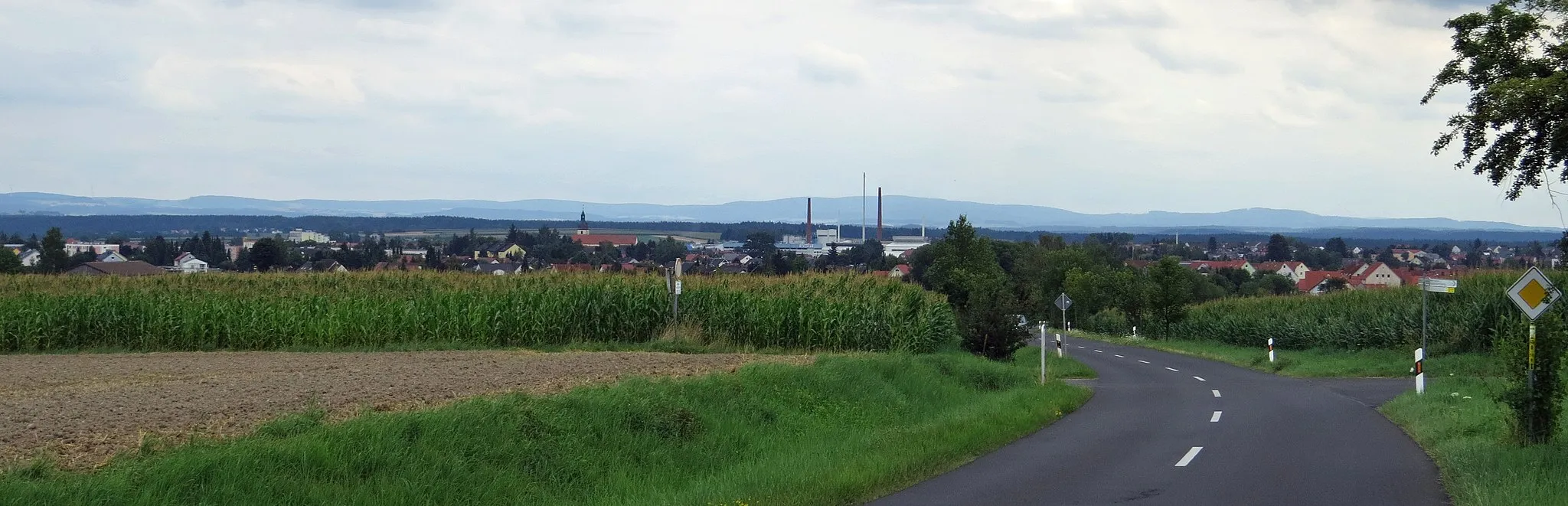
KrummennaabVillageKrummennaab - Discover the hidden treasures of this quaint village, surrounded by stunning natural landscapes. Experience the warmth of its friendly locals and indulge in delicious regional delicacies.
45 km
45 km
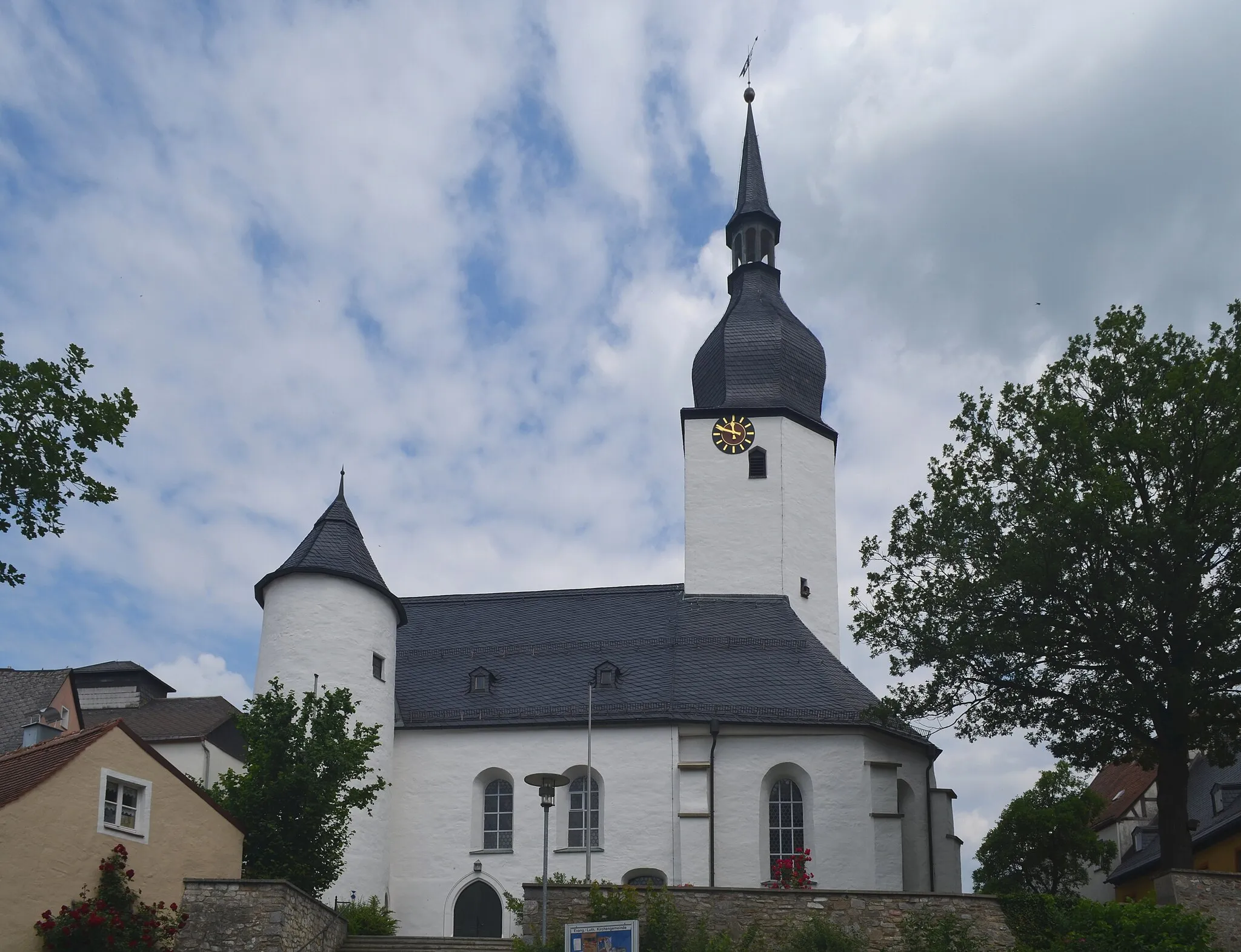
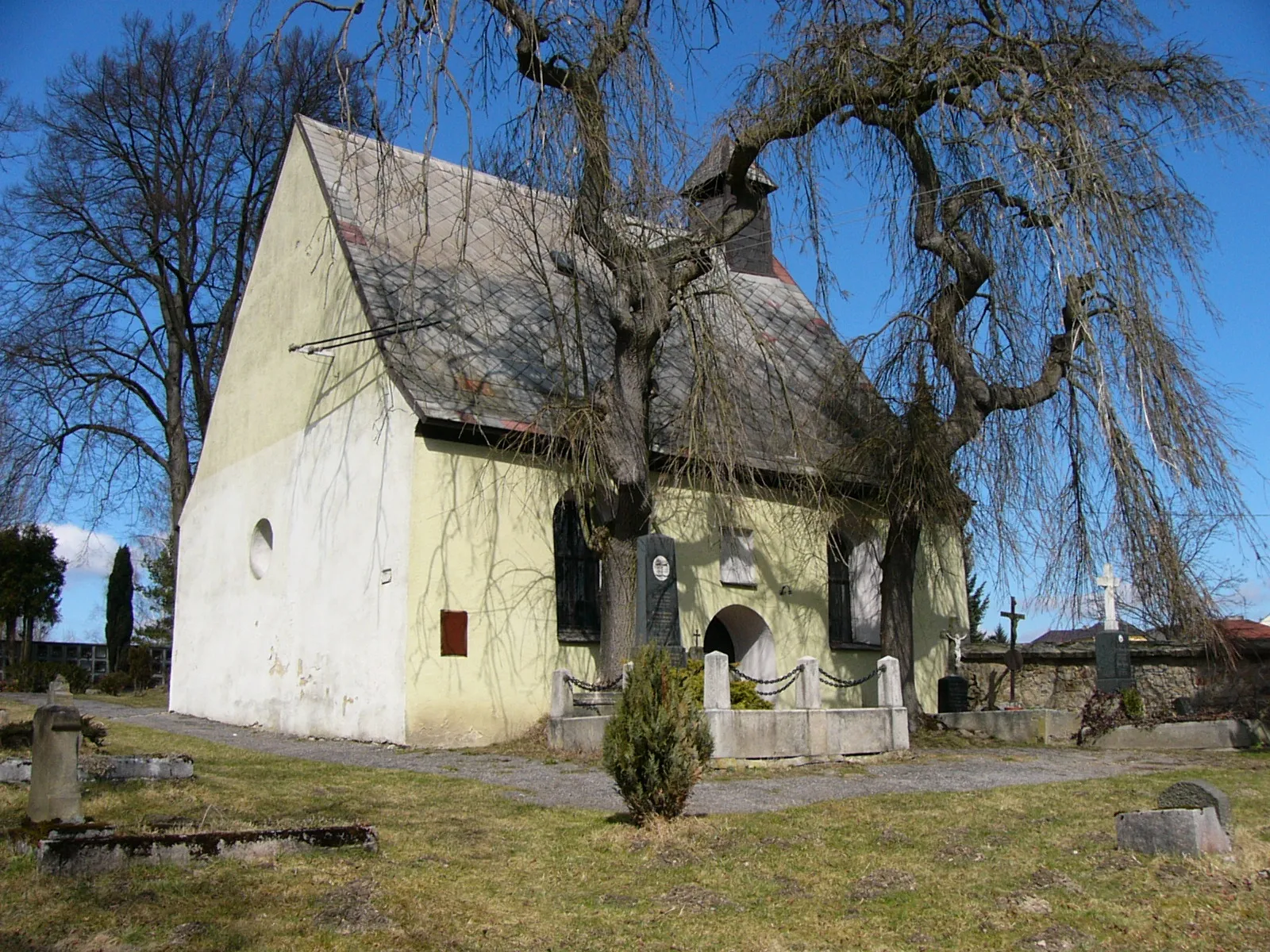
Frauenberg560 mPeakFrauenberg - Be mesmerized by the beauty of this enchanting village, filled with traditional architecture and breathtaking views. Immerse yourself in the tranquility of its surroundings and embrace the peaceful atmosphere.
55 km
55 km
PullenreuthVillagePullenreuth - Ride through untouched landscapes and capture the essence of unspoiled nature. Be prepared for awe-inspiring sceneries.
63 km
63 km
Ochsenkopf715 mPeakOchsenkopf - A legendary peak that attracts outdoor enthusiasts from far and wide. Experience the thrill of conquering its challenging trails and soak in unmatched panoramic views.
69 km
69 km
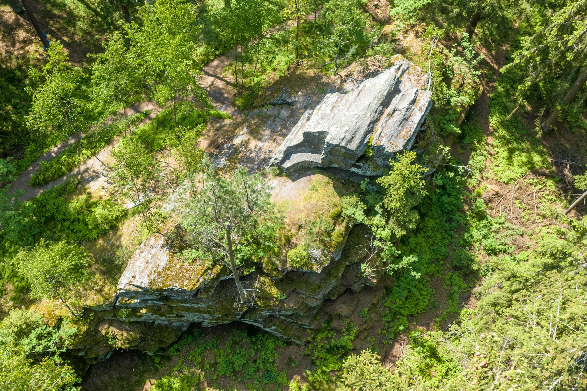
Wenderner SteinAttractionWenderner Stein - Unearth the history and ancient legends surrounding this intriguing rock formation. Stand in awe of nature's artistic masterpiece.
81 km
81 km
Kohlberg528 mPeakKohlberg - Conquer the demanding ascent up Kohlberg and revel in the sense of accomplishment at the summit. Enjoy sweeping views of the surrounding landscape before descending back to Arzberg.
87 km
87 km
Finish: Schlottenhof Village centerArzberg: Arzberg: Where cycling and culture collide.
Cycling routes nearby: