The Franconian Challenge
A road cycling route starting from Ebermannstadt
Embark on a challenging road cycling route through stunning landscapes of Franconia
Map
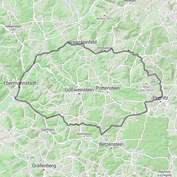
The Franconian Challenge is a demanding road cycling route that takes you through some of the most stunning landscapes in Franconia. Covering a distance of 80 km with an ascent of 1354 meters, this route is suitable for experienced cyclists who enjoy a challenge. Starting near Ebermannstadt, the route includes highlights such as Streitberg, Schulstein, Trockau, Buchauer Berg, Graisch, Reitersberg, Langenstein, Schlehenmühle, and Pretzfeld. These highlights offer varied landscapes, historic landmarks, and breathtaking views. Overall, the Franconian Challenge is an epic route that guarantees a memorable cycling experience while showcasing the best that Franconia has to offer.
road
80 km
1354 m
Savage
Route profile
Highlights on the route
0 km
0 km
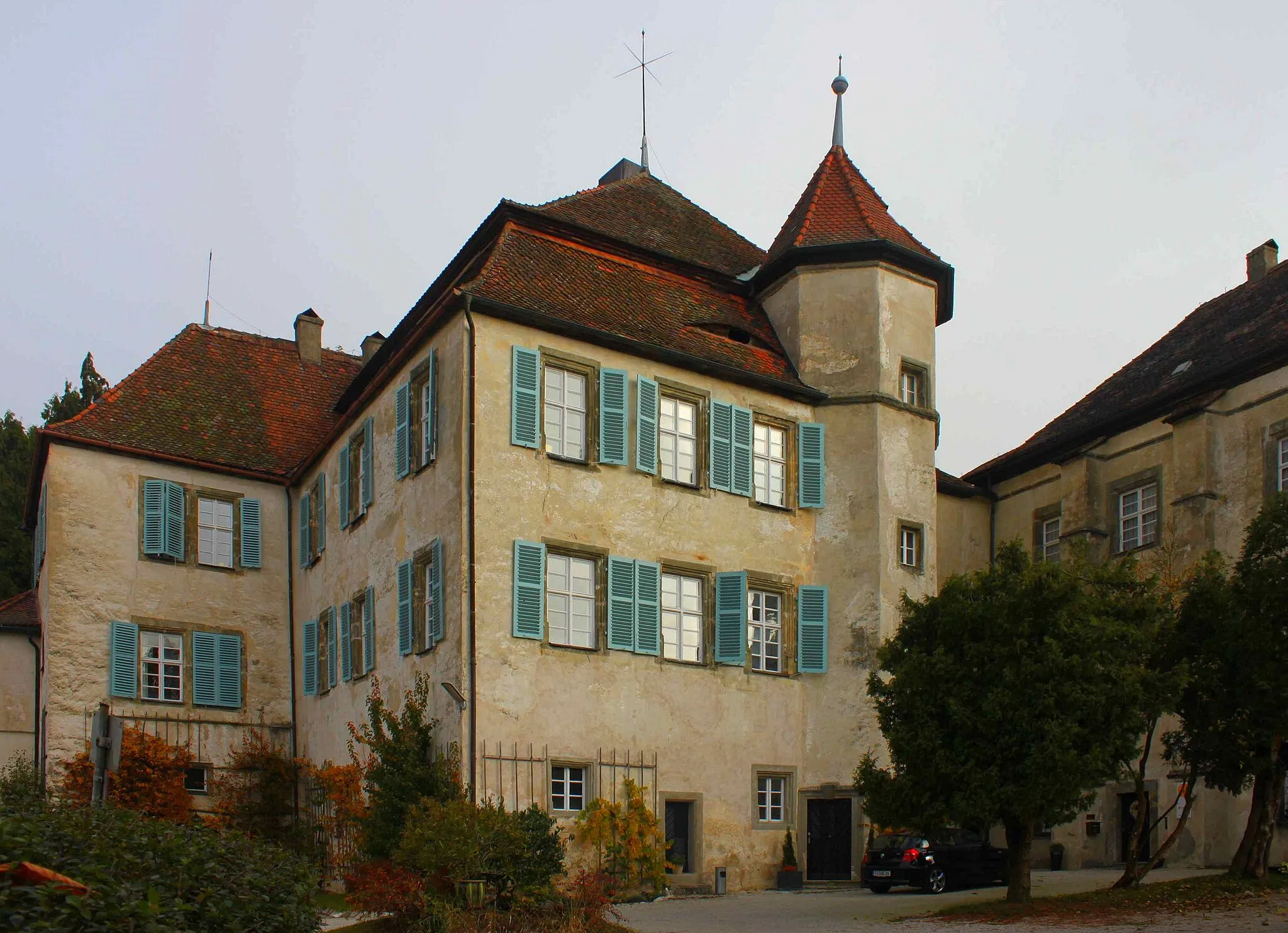
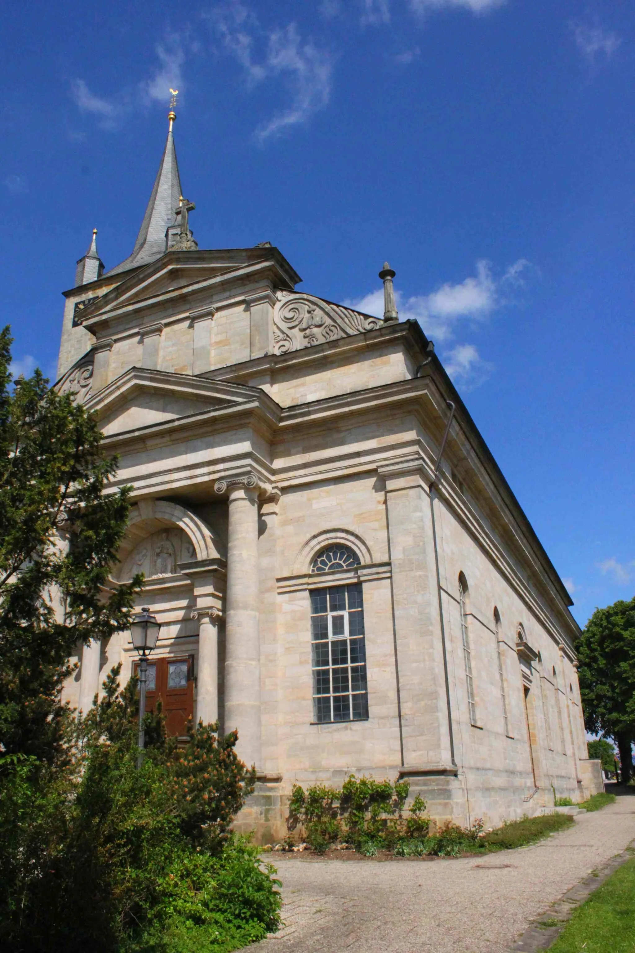
Start: Ebermannstadt City centerEbermannstadt: An enchanting cycling destination filled with natural wonders.
Ebermannstadt, located in Oberfranken, Germany, is a hidden gem for cyclists. With its picturesque landscapes and scenic routes, the locality offers a delightful cycling experience. Cyclists can explore the Franconian Switzerland region, known for its striking rock formations and rolling hills. Ebermannstadt is close to well-known climbs like the Binghöhle Gamburg, attracting cyclists seeking a challenging ascent. The town's cycling-friendly atmosphere and beautiful scenery make it an ideal destination for cyclists of all levels.4 km
4 km
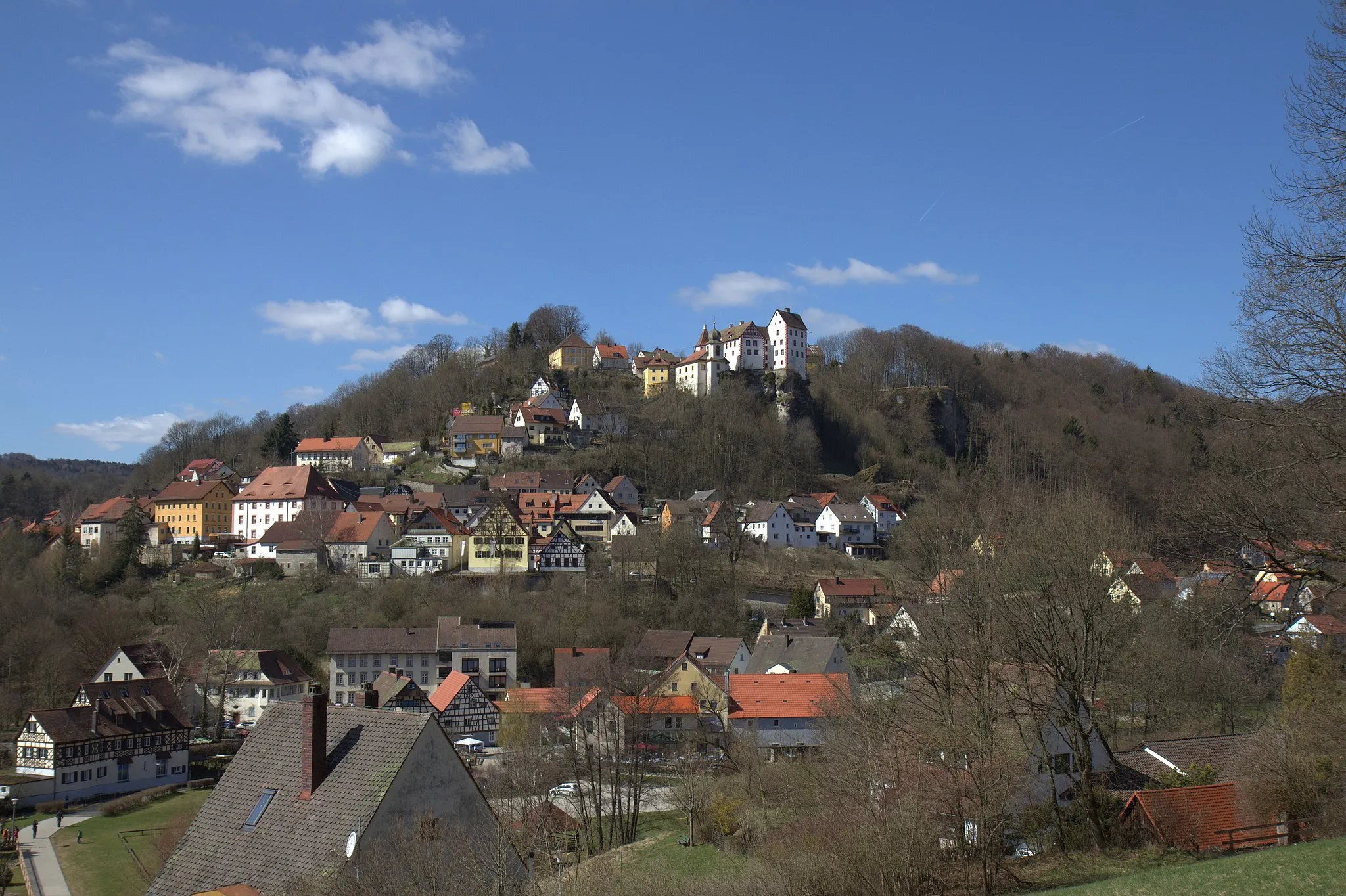
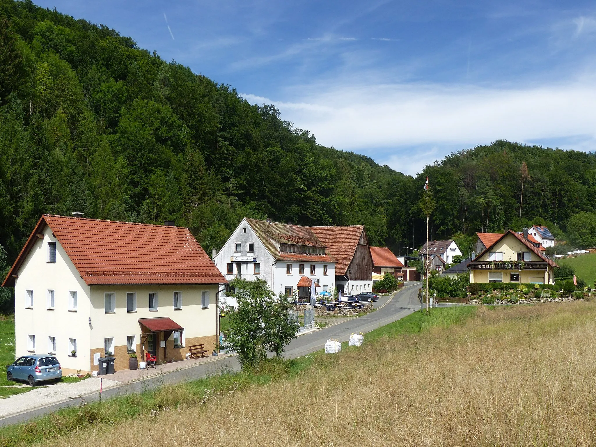
StreitbergVillageStreitberg is a picturesque village nestled in a valley, surrounded by towering rock formations and lush greenery.
16 km
16 km
SchulsteinViewpointSchulstein is a challenging climb that rewards cyclists with panoramic views of the surrounding countryside.
31 km
31 km
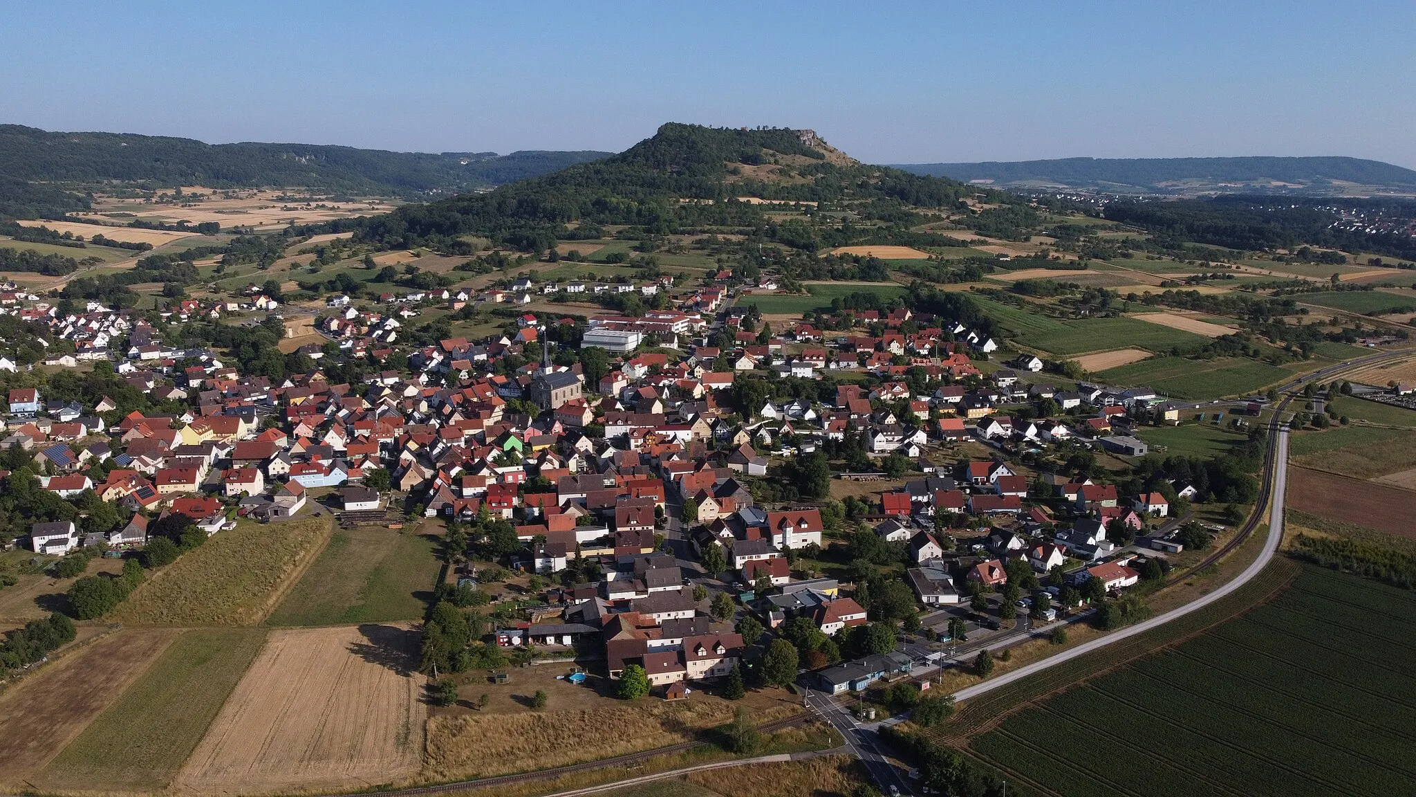
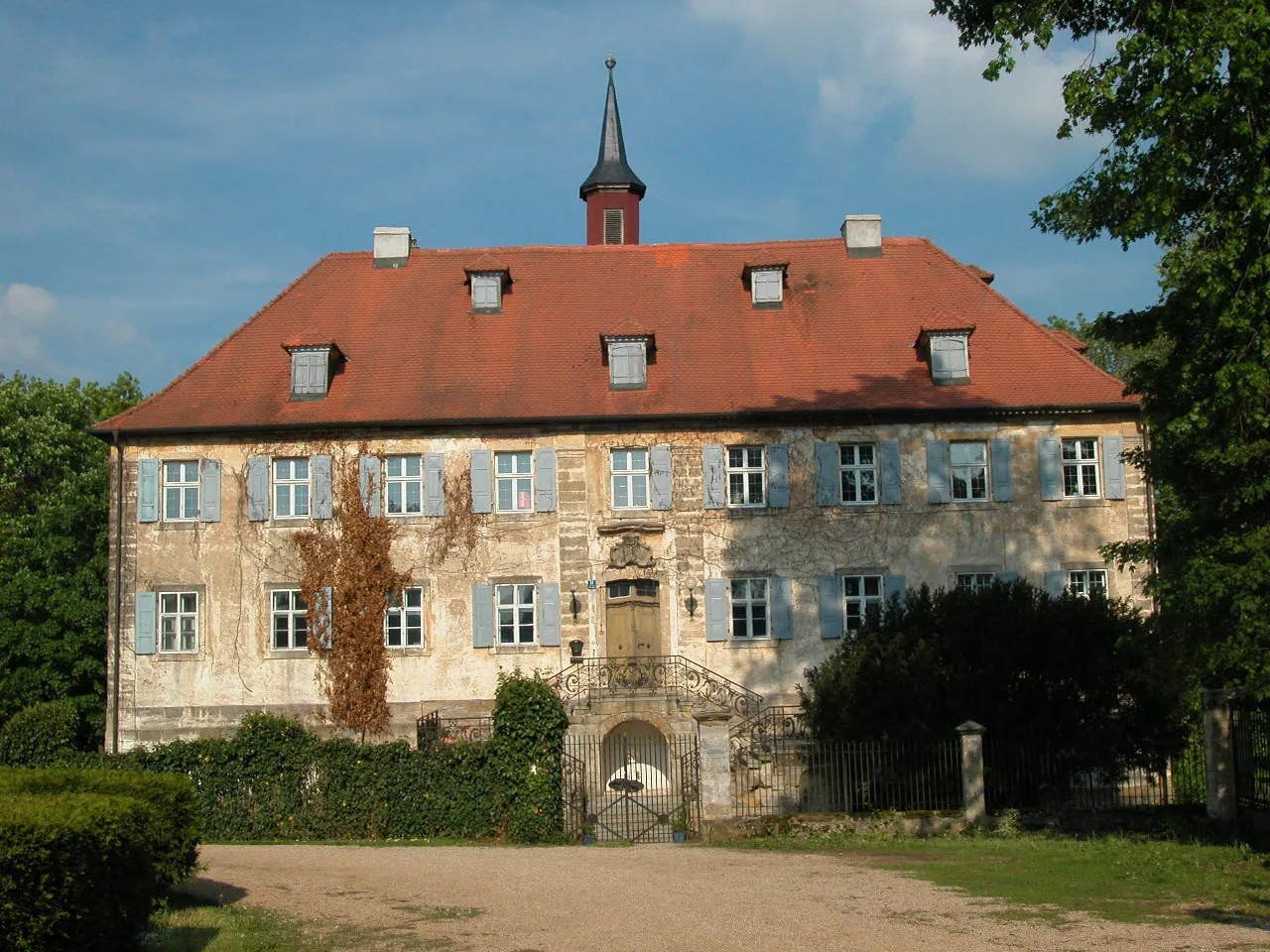
TrockauVillageTrockau is a quaint village known for its well-preserved medieval architecture and tranquil atmosphere.
40 km
40 km
Buchauer Berg485 mPeakBuchauer Berg is a demanding climb that pushes cyclists to their limits but offers breathtaking views from the top.
59 km
59 km
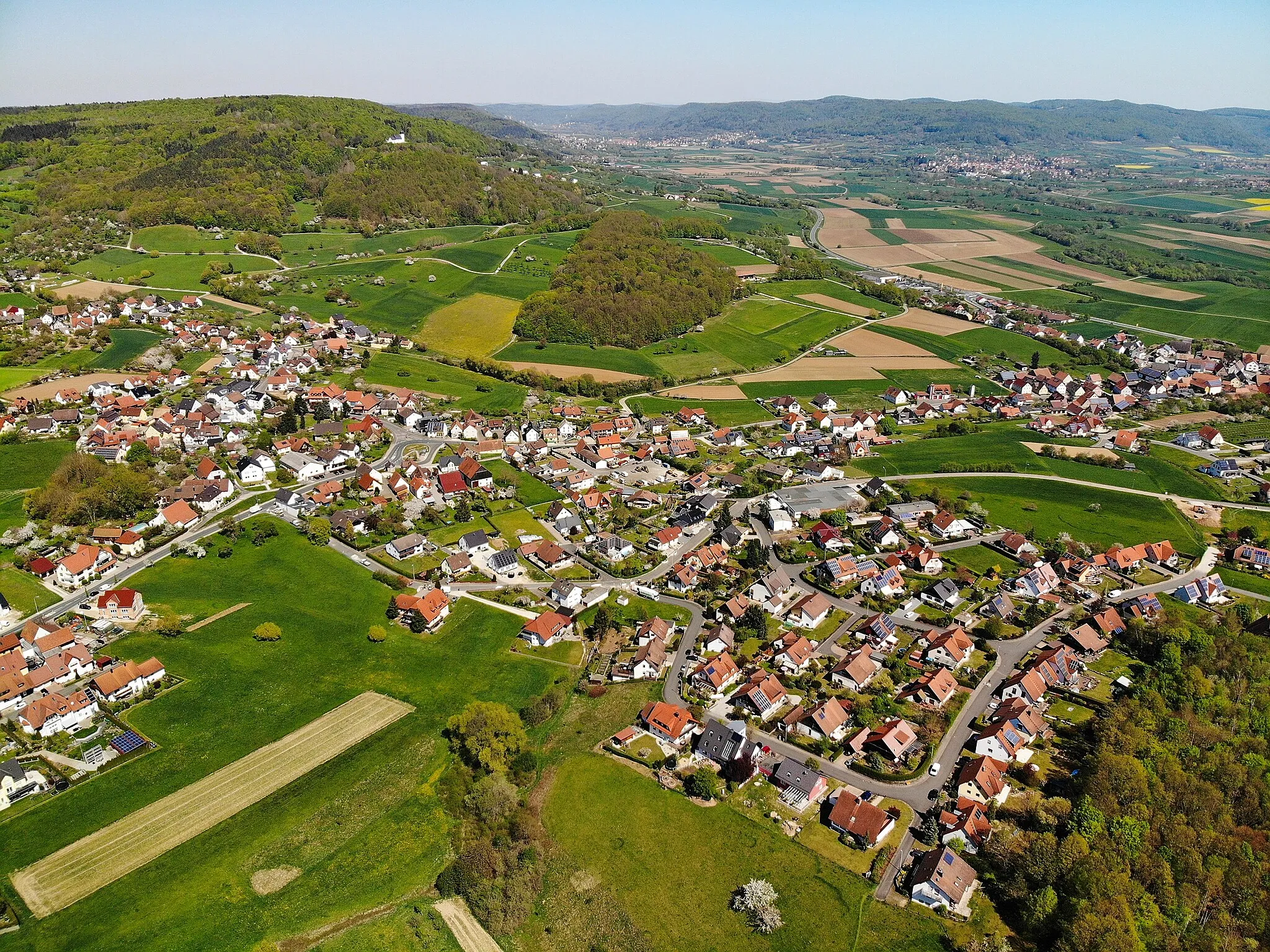
GraischVillageGraisch is a charming village with half-timbered houses and beautifully maintained gardens.
61 km
61 km
Reitersberg536 mPeakReitersberg is a notable hill that poses a challenge for cyclists but rewards them with stunning views of the surrounding landscapes.
69 km
69 km
Langenstein572 mPeak ViewpointLangenstein is a natural landmark in the Franconian Switzerland region, characterized by its towering rock formations and rugged cliffs.
69 km
69 km
SchlehenmühleVillageSchlehenmühle is a historic mill that stands as a testament to Franconia's rich milling history.
77 km
77 km
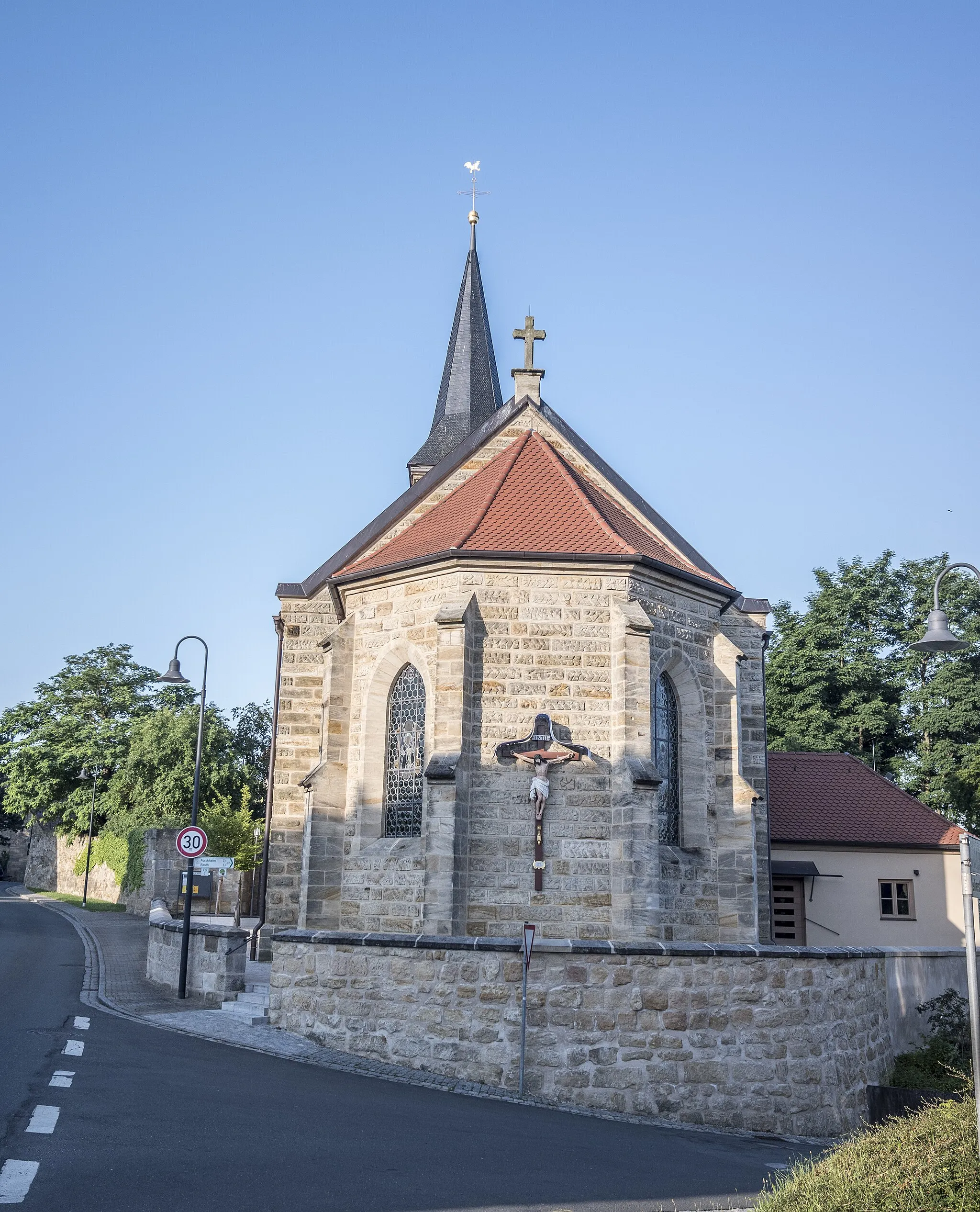
PretzfeldVillagePretzfeld is a charming town known for its vibrant cultural scene, historic buildings, and excellent Franconian cuisine.
80 km
80 km
Finish: Ebermannstadt City centerEbermannstadt: An enchanting cycling destination filled with natural wonders.
Cycling routes nearby: