Fichtel Mountains Gravel Adventure
A gravel cycling route starting from Nagel
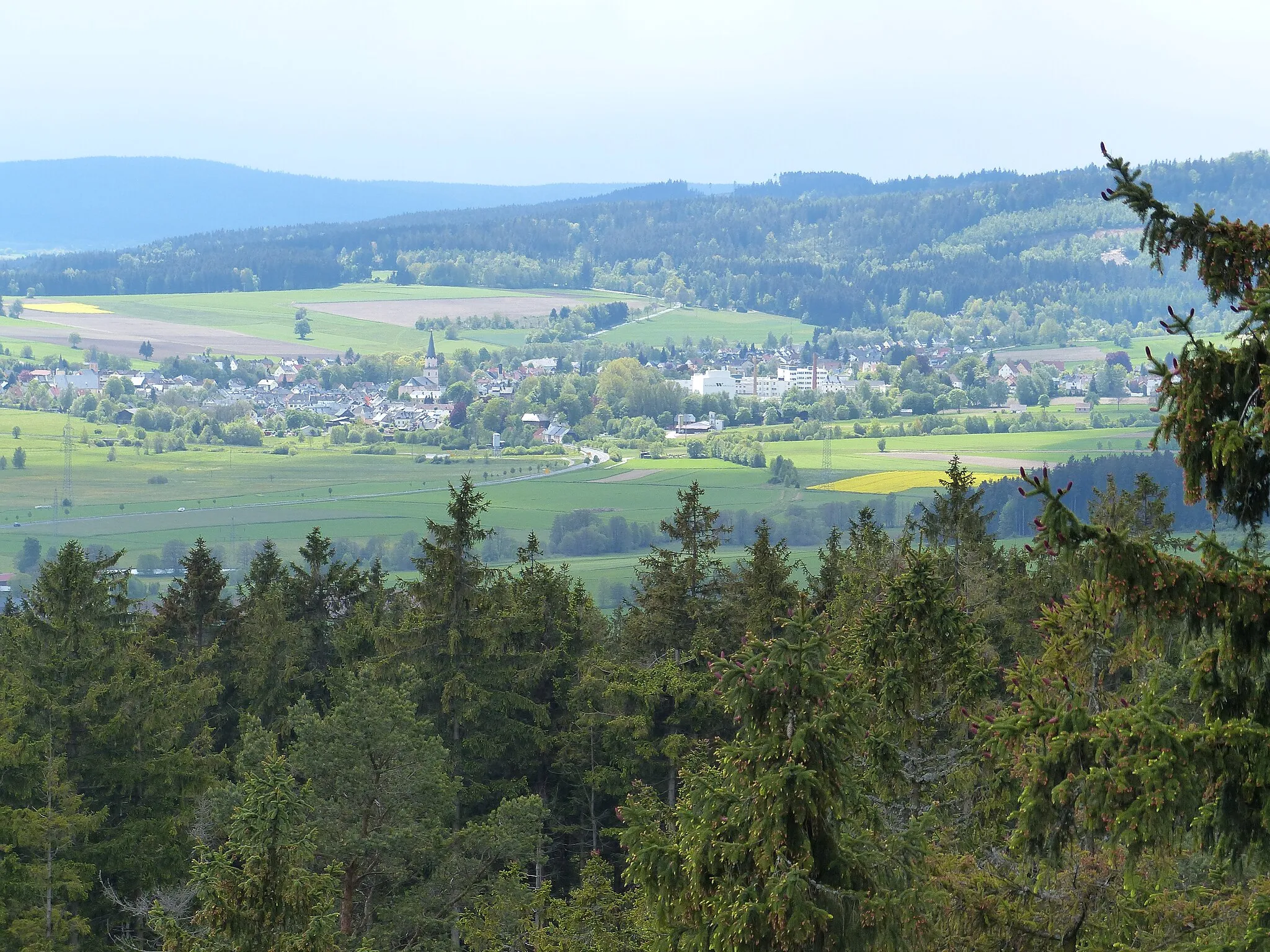
Experience the rugged beauty of the Fichtel Mountains on this challenging gravel route
Map
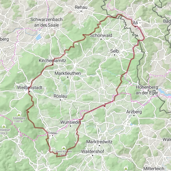
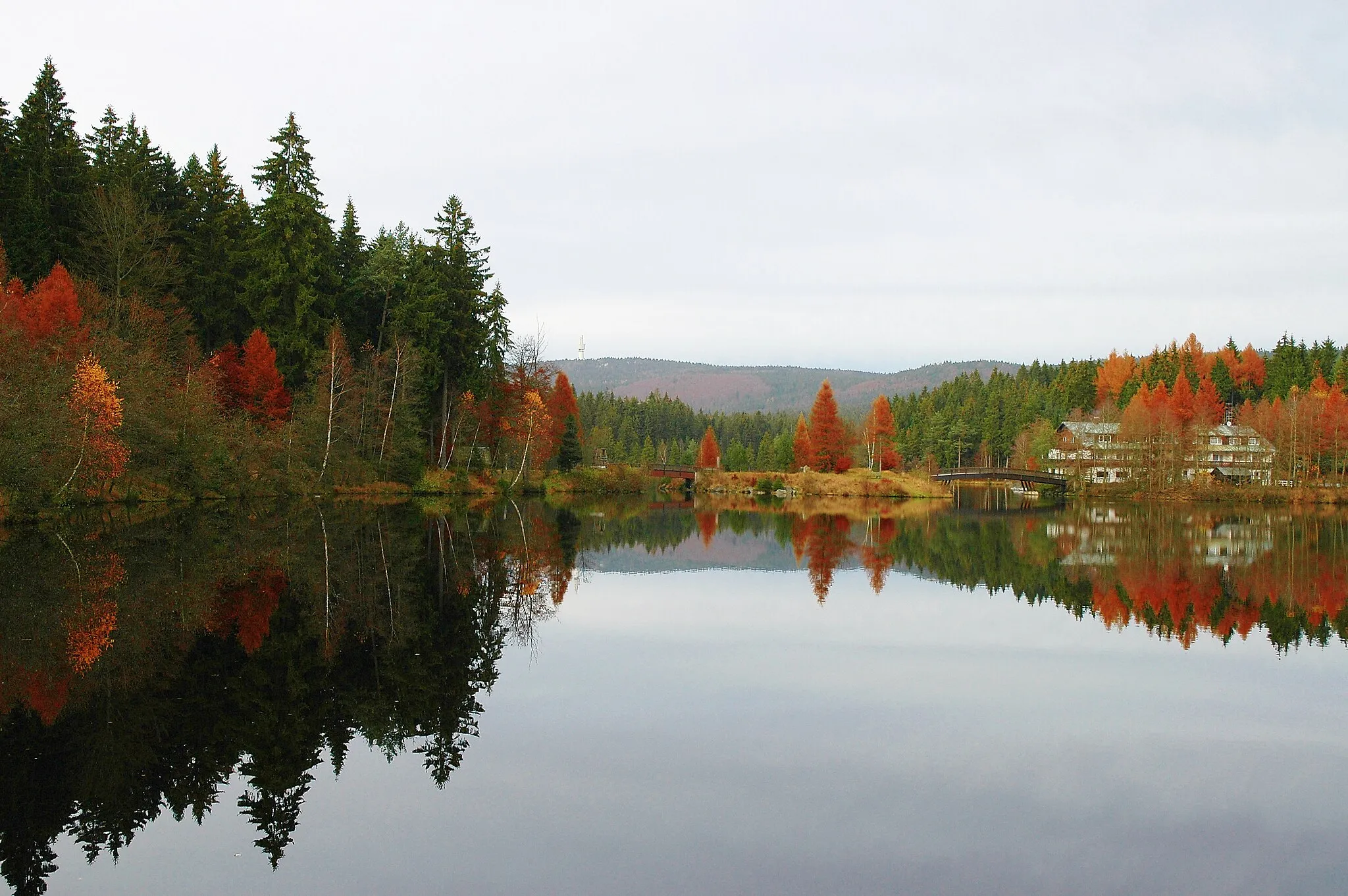
Explore the diverse landscapes of the Fichtel Mountains on this 101-kilometer gravel adventure. With a total ascent of 1,578 meters, this route will challenge even experienced cyclists. From the historic Ruine Hirschstein to the breathtaking views from Großer Kornberg, this route is filled with highlights that showcase the natural beauty of the region.
gravel
101 km
1578 m
Tough
Route profile
Highlights on the route
0 km
0 km
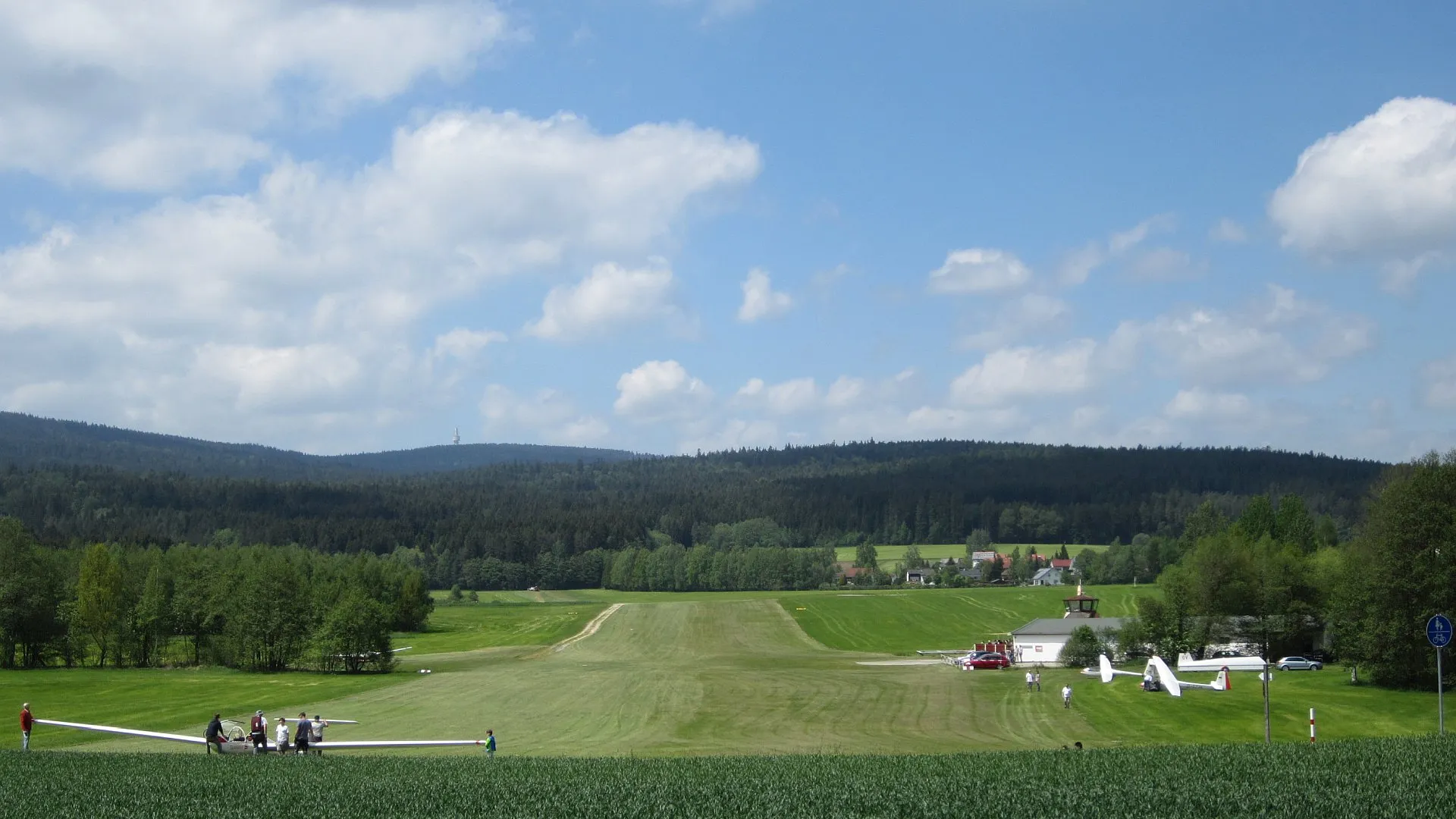
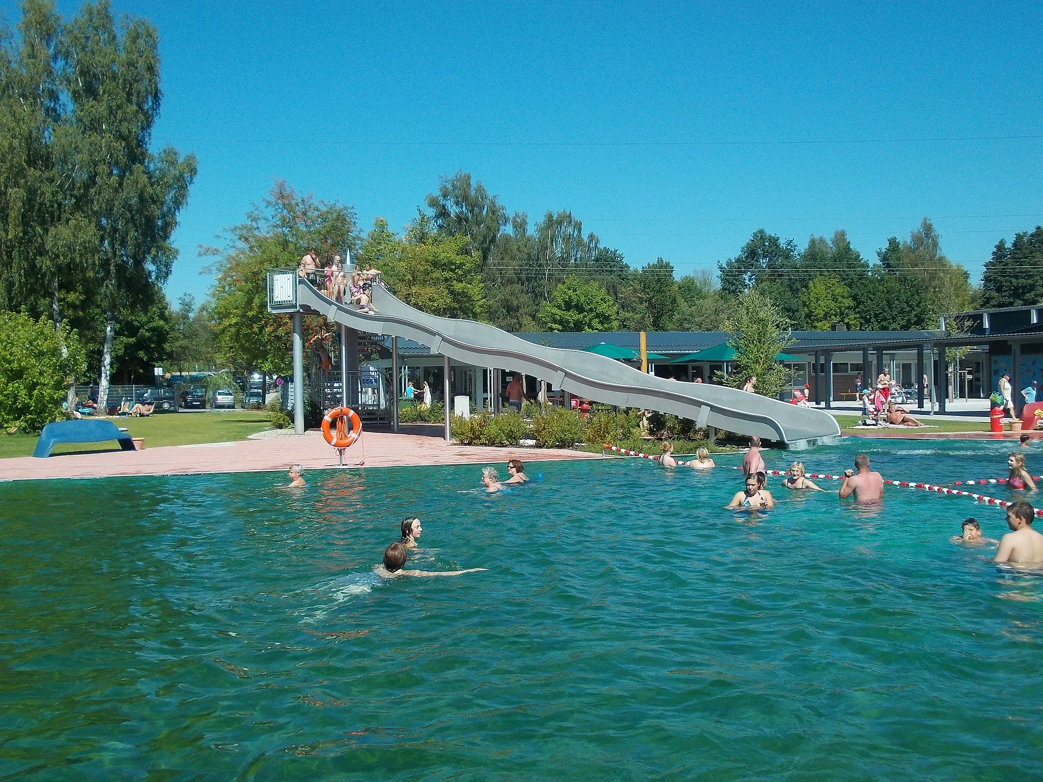
Start: Wurmloh Village centerNagel: Enjoy the peaceful cycling routes amidst Nagel's charming countryside.
Nagel is a small locality in Oberfranken, Germany. While the area may not provide any noteworthy cycling spots or famous climbs, Nagel does offer pleasant cycling routes along its tranquil countryside. The roads are well maintained, making them suitable for both road and gravel cyclists. Cyclists looking for a peaceful and charming destination to explore on their bikes will appreciate Nagel's serene atmosphere.0 km
0 km
HohenbrandHamletHohenbrand offers stunning panoramic views of the surrounding mountains.
1 km
1 km
Hohe Matze813 mPeak ViewpointAdmire the majestic Hohe Matze, known for its unique rock formations.
13 km
13 km
Rudolfstein866 mPeakRudolfstein is a rocky outcrop that marks the border between Germany and the Czech Republic.
24 km
24 km
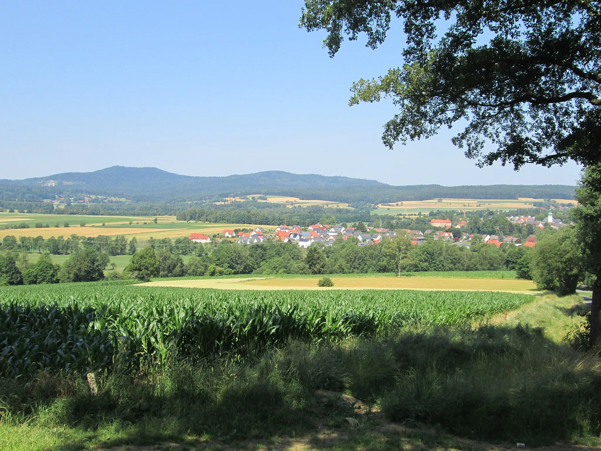
EpprechtsteinHamletExplore the ancient ruins of Epprechtstein Castle, perched on a rocky hilltop.
32 km
32 km
Ruine HirschsteinCastle RuinsDiscover the picturesque Ruine Hirschstein, which dates back to the 12th century.
35 km
35 km
Großer Kornberg826 mPeakClimb the Großer Kornberg to enjoy breathtaking panoramic views of the surrounding landscape.
49 km
49 km
Štítarský vrch716 mPeakŠtítarský vrch is a scenic viewpoint that overlooks the picturesque countryside.
54 km
54 km
AšTownAš is a charming town with a rich history and beautiful architecture.
76 km
76 km
ThiersheimVillageThiersheim is known for its well-preserved medieval town center and historical buildings.
98 km
98 km
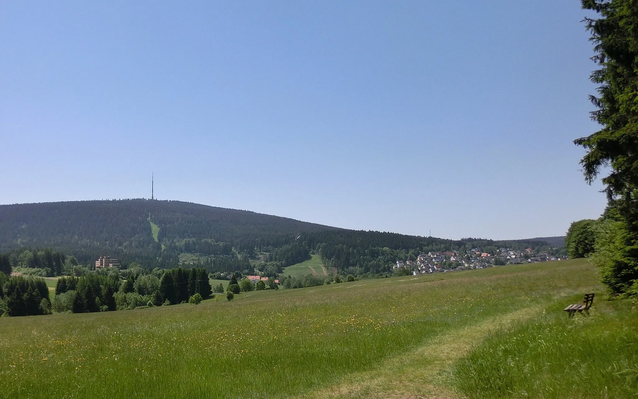
Ochsenkopf715 mPeakOchsenkopf is a popular skiing and hiking area with stunning mountain views.
101 km
101 km
Finish: Wurmloh Village centerNagel: Enjoy the peaceful cycling routes amidst Nagel's charming countryside.
Cycling routes from Nagel:
The Gravel Adventure The Gravel Delight The Hidden Gems Road Trip The Ultimate Road Challenge The Epic Mountain Challenge Fichtel Mountains Gravel Adventure Fichtel Mountains Scenic Road Tour Historical and Scenic Road Tour Gravel Adventure through Scenic Landscapes Scenic Views and Historical Treasures
Cycling routes nearby: