The Epic Mountain Challenge
A road cycling route starting from Nagel
Embark on an epic mountain challenge near Nagel, Oberfranken
Map
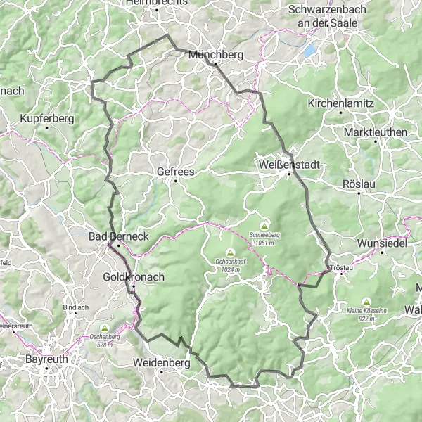
Test your cycling skills and endurance on this epic mountain challenge near Nagel. Covering a total distance of 108 km and an ascent of 1954 meters, this route is not for the faint-hearted. Take in the spectacular views from the Aussichtsplattform and conquer famous climbs such as Kirchenpingarten and Weinberg. Explore the historic town of Goldkronach and marvel at the magnificent Rotes Schloß. Prepare to push your limits as you tackle the iconic Münchberg and the awe-inspiring Großer Waldstein. Lastly, pass through the enchanting Lochbühl before reaching your ultimate cycling destination. This route promises unforgettable experiences and breathtaking scenery for those seeking a true mountain challenge.
road
108 km
1954 m
Savage
Route profile
Highlights on the route
0 km
0 km
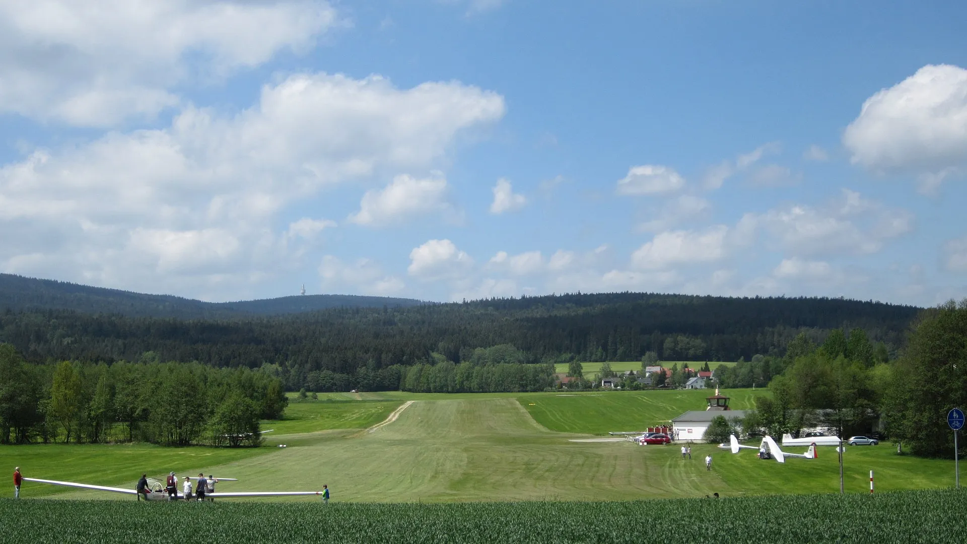
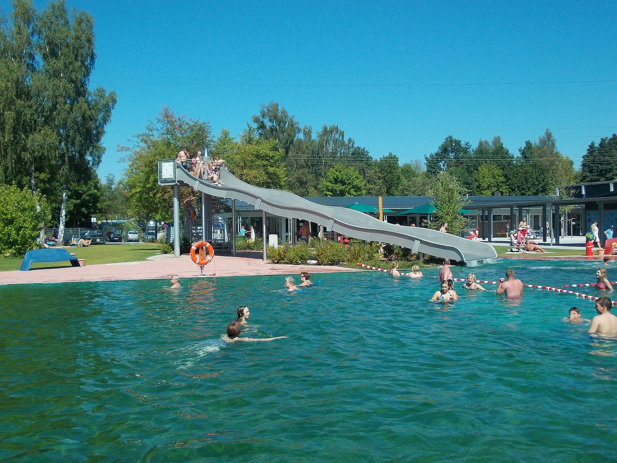
Start: Nagel Village centerNagel: Enjoy the peaceful cycling routes amidst Nagel's charming countryside.
Nagel is a small locality in Oberfranken, Germany. While the area may not provide any noteworthy cycling spots or famous climbs, Nagel does offer pleasant cycling routes along its tranquil countryside. The roads are well maintained, making them suitable for both road and gravel cyclists. Cyclists looking for a peaceful and charming destination to explore on their bikes will appreciate Nagel's serene atmosphere.0 km
0 km
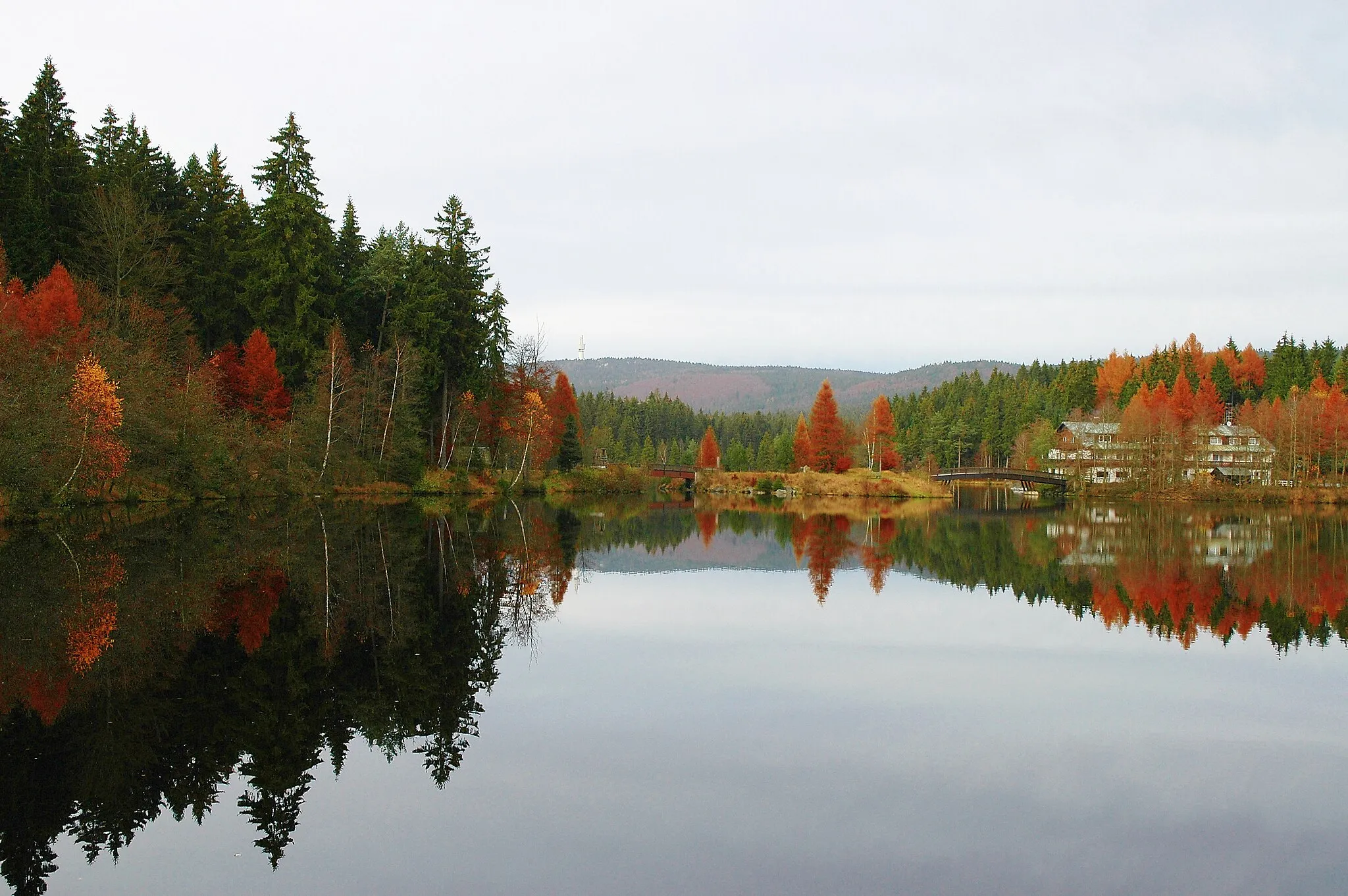
AussichtsplattformViewpointFrom the Aussichtsplattform, the panoramic views will make you stop and admire the beauty of Oberfranken.
2 km
2 km
BrandVillageReach the summit of Brand and enjoy the stunning views of the surrounding mountains and landscapes.
11 km
11 km
Mittelberg670 mPeakThe climb to Mittelberg will test your endurance, but the magnificent scenery at the top is worth the effort.
18 km
18 km
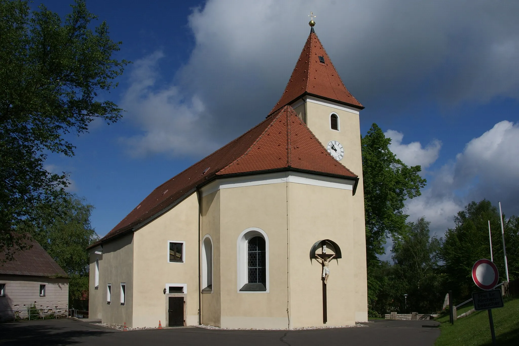
KirchenpingartenVillageKirchenpingarten is a town filled with history and charm, offering a glimpse into the region's past.
32 km
32 km
Weinberg552 mPeakCycle through the vineyards of Weinberg and savor the breathtaking beauty of the landscape.
37 km
37 km
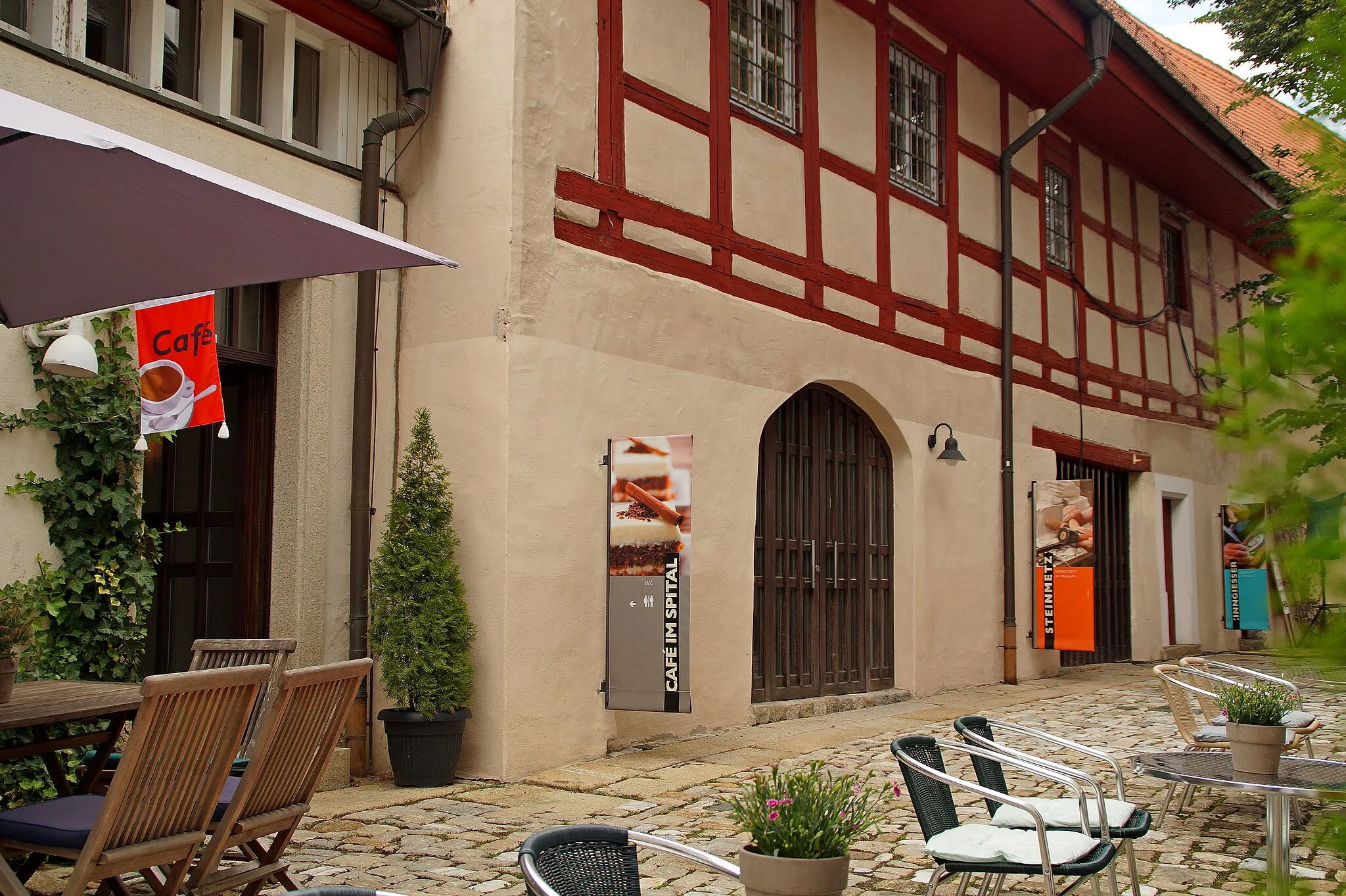
GoldkronachTownDiscover Goldkronach, a picturesque town known for its historic buildings and warm hospitality.
48 km
48 km
Goldberg548 mPeakTake a moment to admire the stunning Goldberg, a mountain that adds grandeur to the landscape.
60 km
60 km
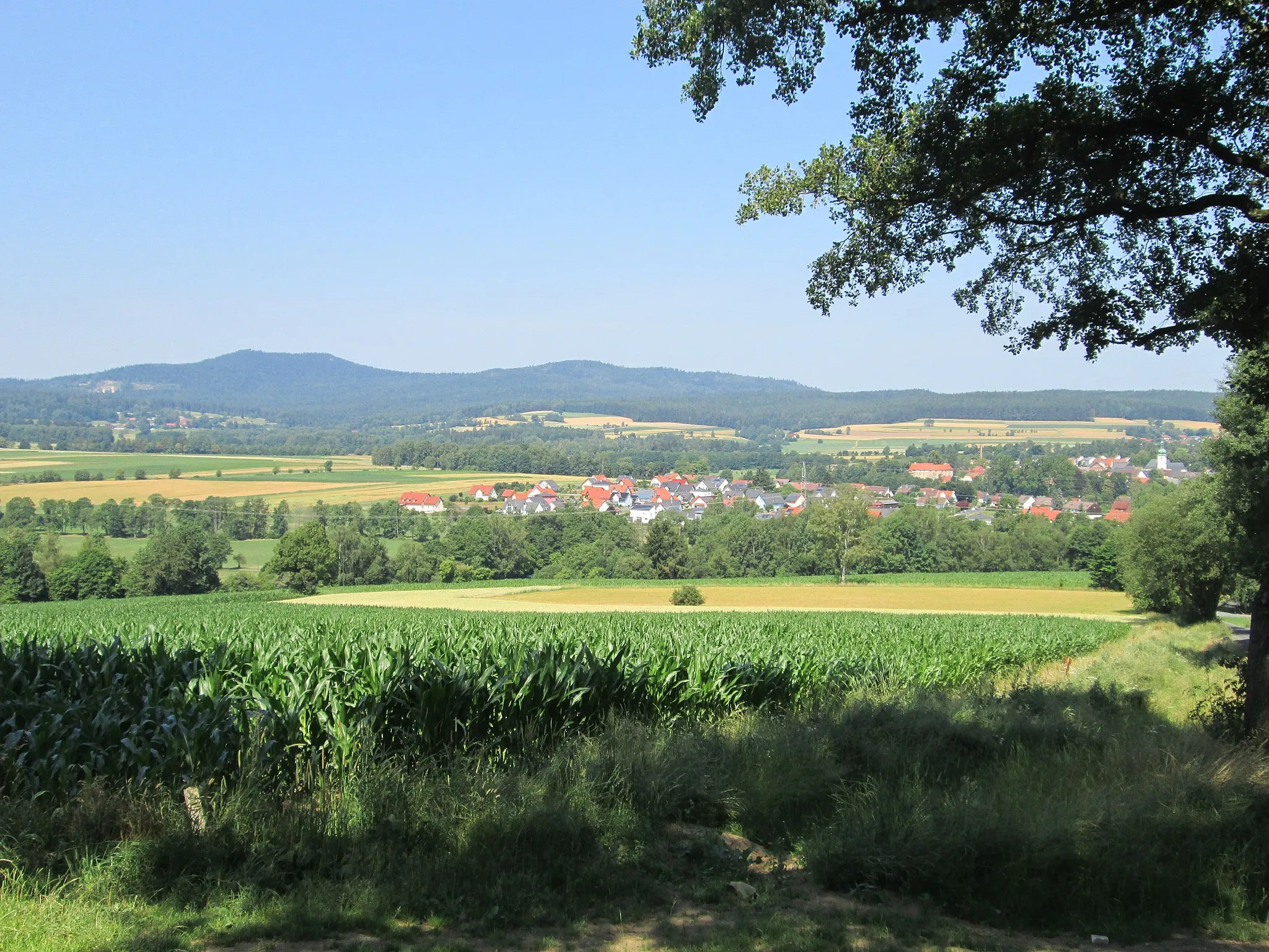
MarktleugastVillageMarktleugast offers rich cultural experiences, from its historic architecture to vibrant local festivals.
75 km
75 km
MünchbergTownExperience the incredible beauty of Münchberg, a place beloved by cyclists and nature enthusiasts alike.
84 km
84 km
Rotes SchloßCastleDiscover the enchanting Rotes Schloß, a historic castle that makes you feel like you've stepped back in time.
85 km
85 km
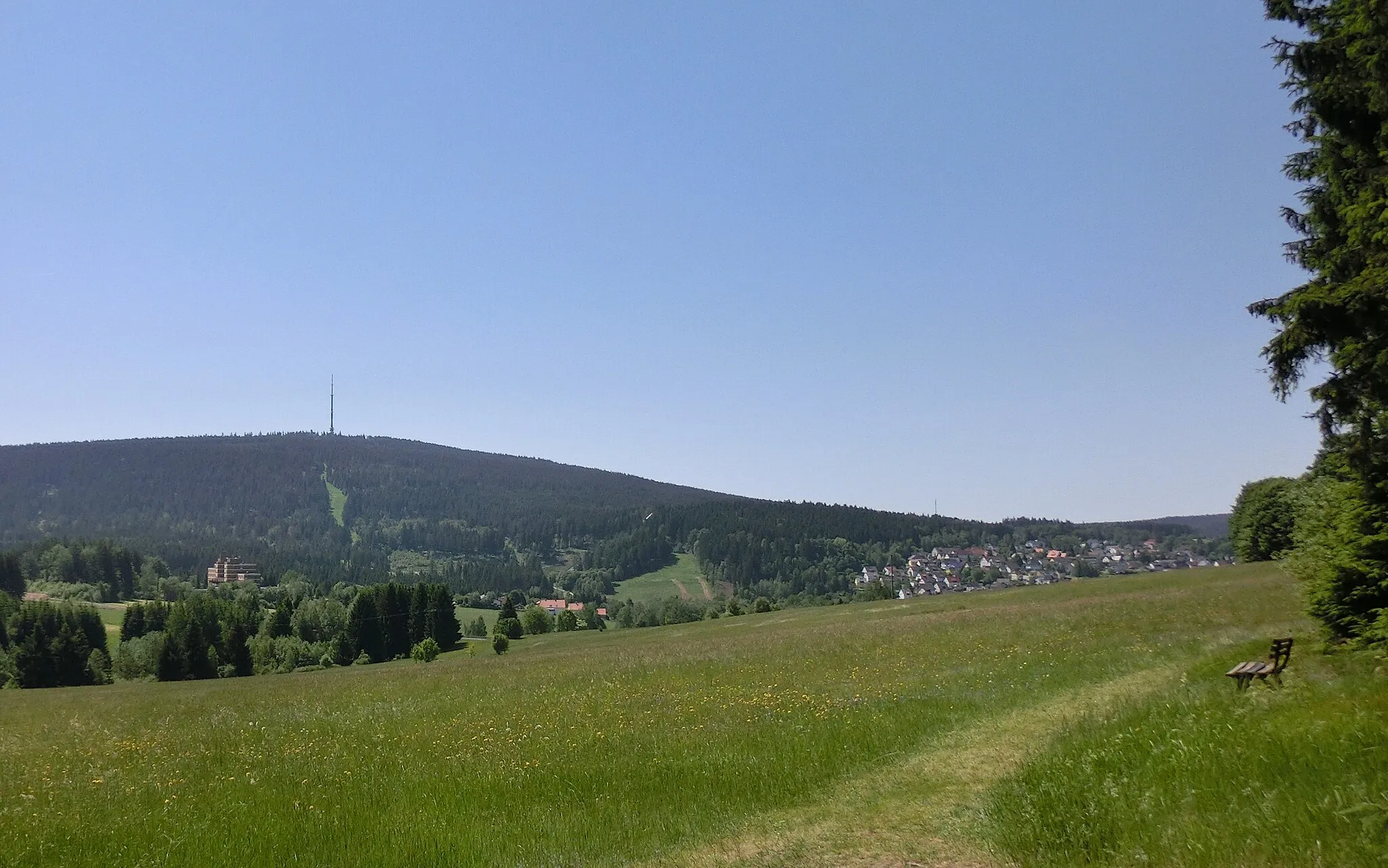
Großer Waldstein877 mPeakGroßer Waldstein is a legendary climb that will challenge even the most skilled cyclists, but the views from the top are truly breathtaking.
102 km
102 km
Vorderer Ringberg771 mPeakEnjoy the tranquility of Vorderer Ringberg as you cycle through its idyllic landscapes.
107 km
107 km
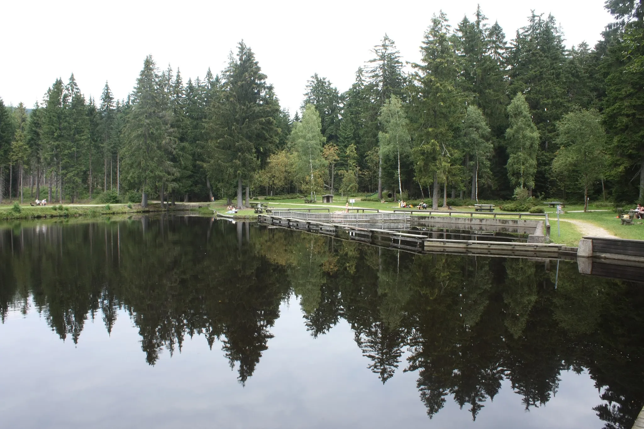
LochbühlVillageBe captivated by the natural beauty of Lochbühl, a hidden gem nestled amidst stunning scenery.
108 km
108 km
Finish: Nagel Village centerNagel: Enjoy the peaceful cycling routes amidst Nagel's charming countryside.
Cycling routes from Nagel:
The Gravel Adventure The Gravel Delight The Hidden Gems Road Trip The Ultimate Road Challenge The Epic Mountain Challenge Fichtel Mountains Gravel Adventure Fichtel Mountains Scenic Road Tour Historical and Scenic Road Tour Gravel Adventure through Scenic Landscapes Scenic Views and Historical Treasures
Cycling routes nearby: