Gravel Adventure through Scenic Landscapes
A gravel cycling route starting from Nagel
Go off the beaten path on this adventurous gravel tour through scenic landscapes
Map

Escape into nature on this 92-kilometer gravel adventure through the scenic landscapes of Oberfranken. With an ascent of 1,479 meters, this route offers a moderate challenge for gravel enthusiasts. From the panoramic views from Aussichtsplattform to the tranquil forests of Oberpfalzturm, this tour will take you on an unforgettable journey through peaceful countryside and charming villages.
gravel
92 km
1479 m
Tough
Route profile
Highlights on the route
0 km
0 km
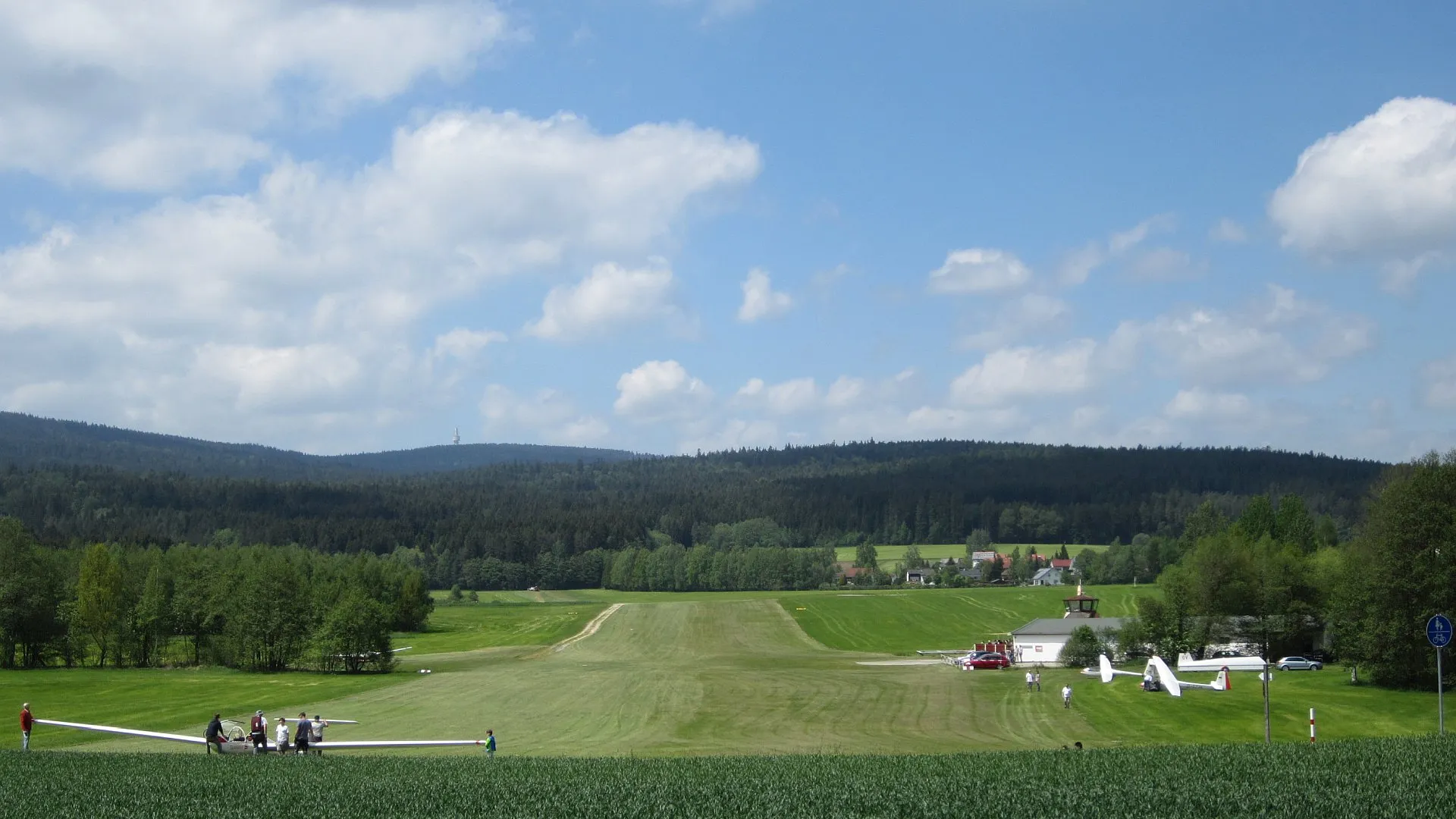
Start: Lochbühl Village centerNagel: Enjoy the peaceful cycling routes amidst Nagel's charming countryside.
Nagel is a small locality in Oberfranken, Germany. While the area may not provide any noteworthy cycling spots or famous climbs, Nagel does offer pleasant cycling routes along its tranquil countryside. The roads are well maintained, making them suitable for both road and gravel cyclists. Cyclists looking for a peaceful and charming destination to explore on their bikes will appreciate Nagel's serene atmosphere.1 km
1 km
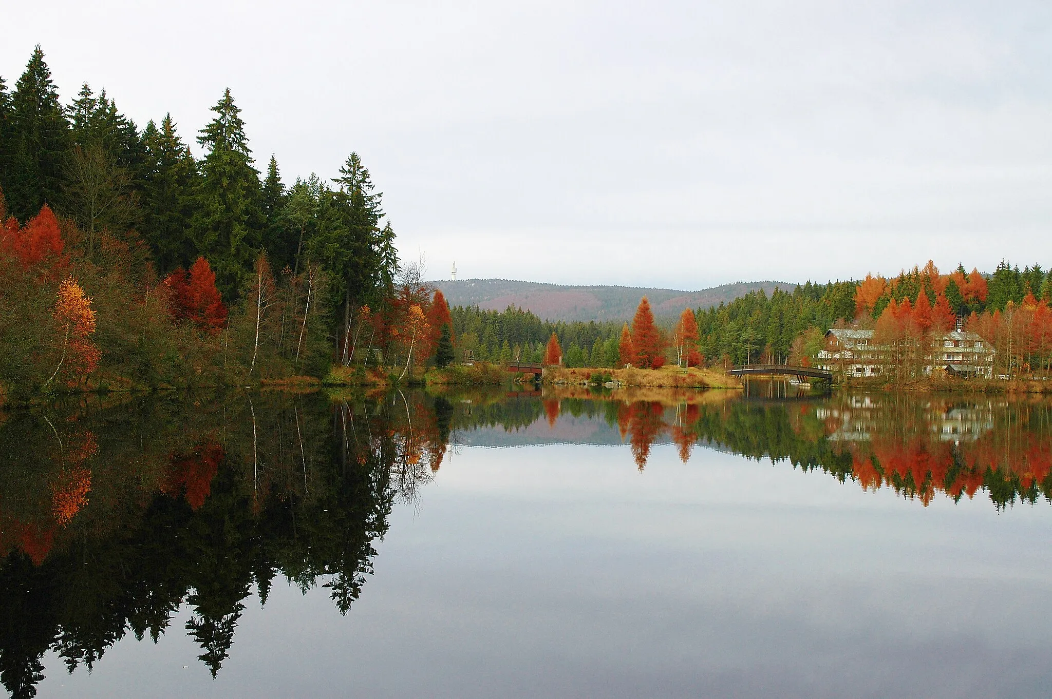
AussichtsplattformViewpointAussichtsplattform offers stunning panoramic views of the surrounding landscapes.
16 km
16 km
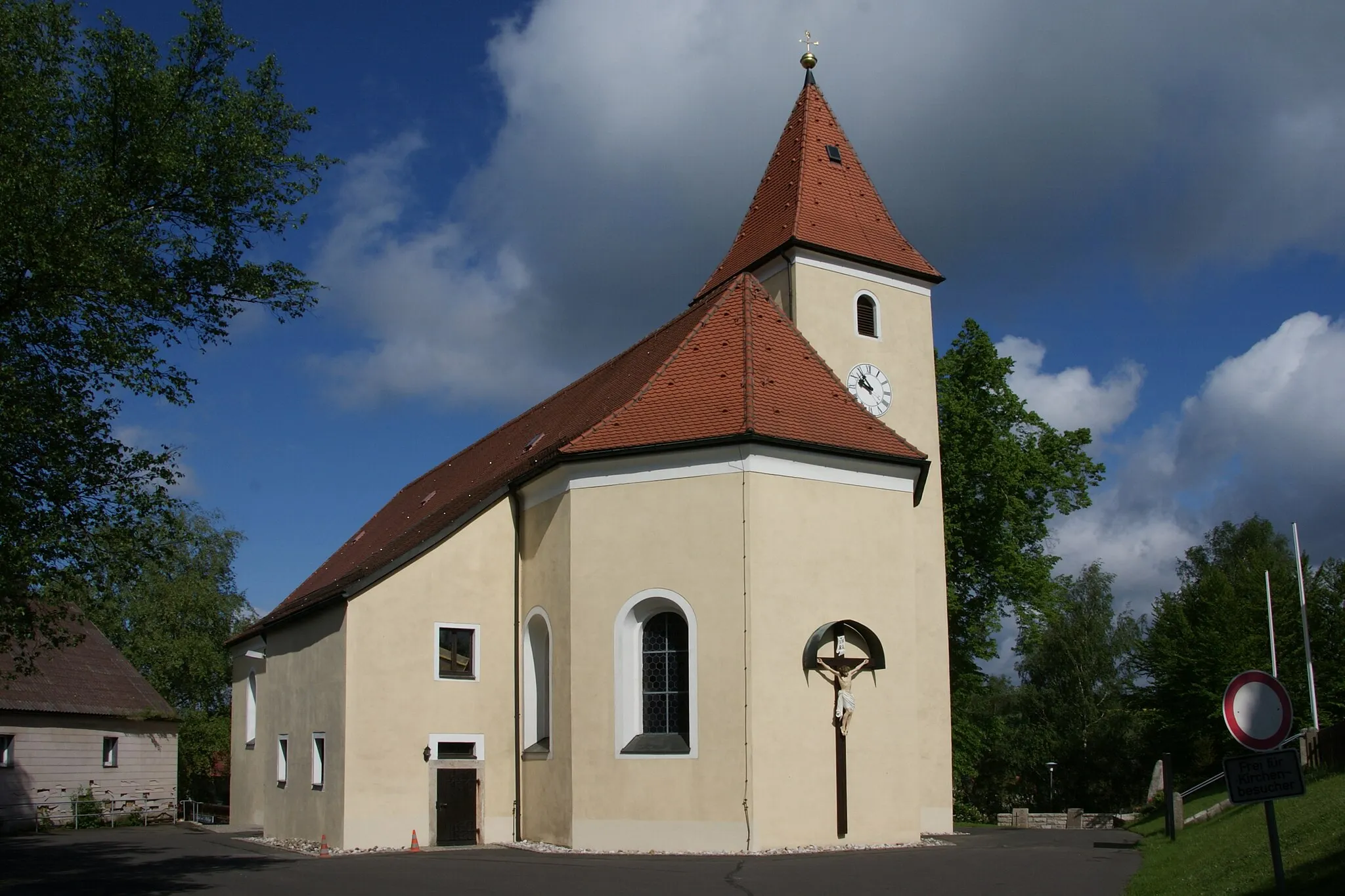
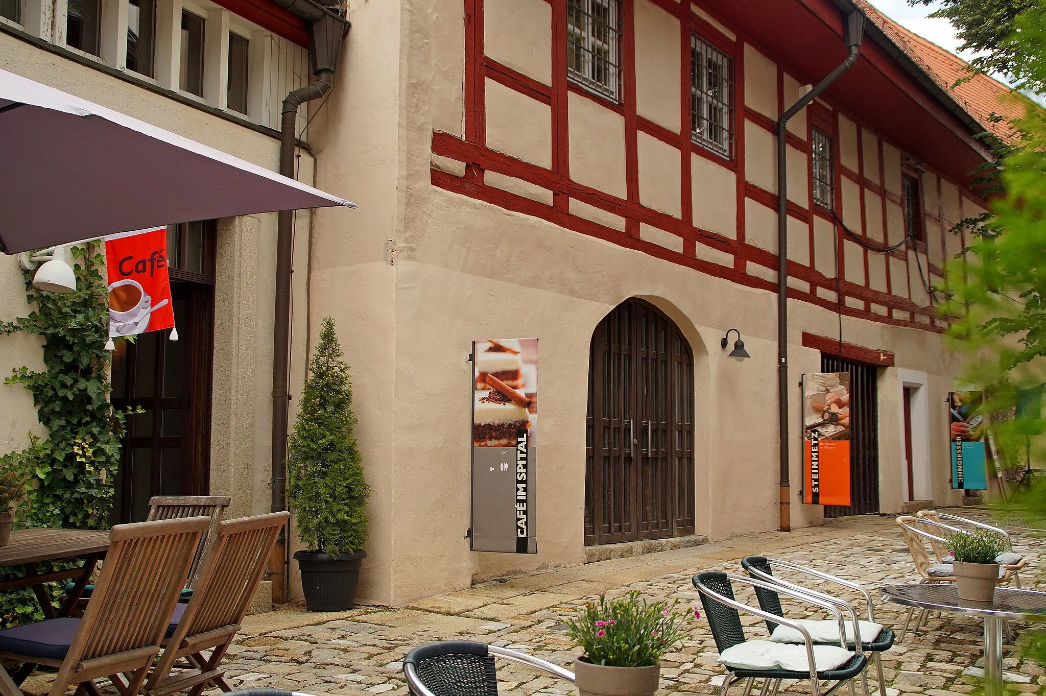
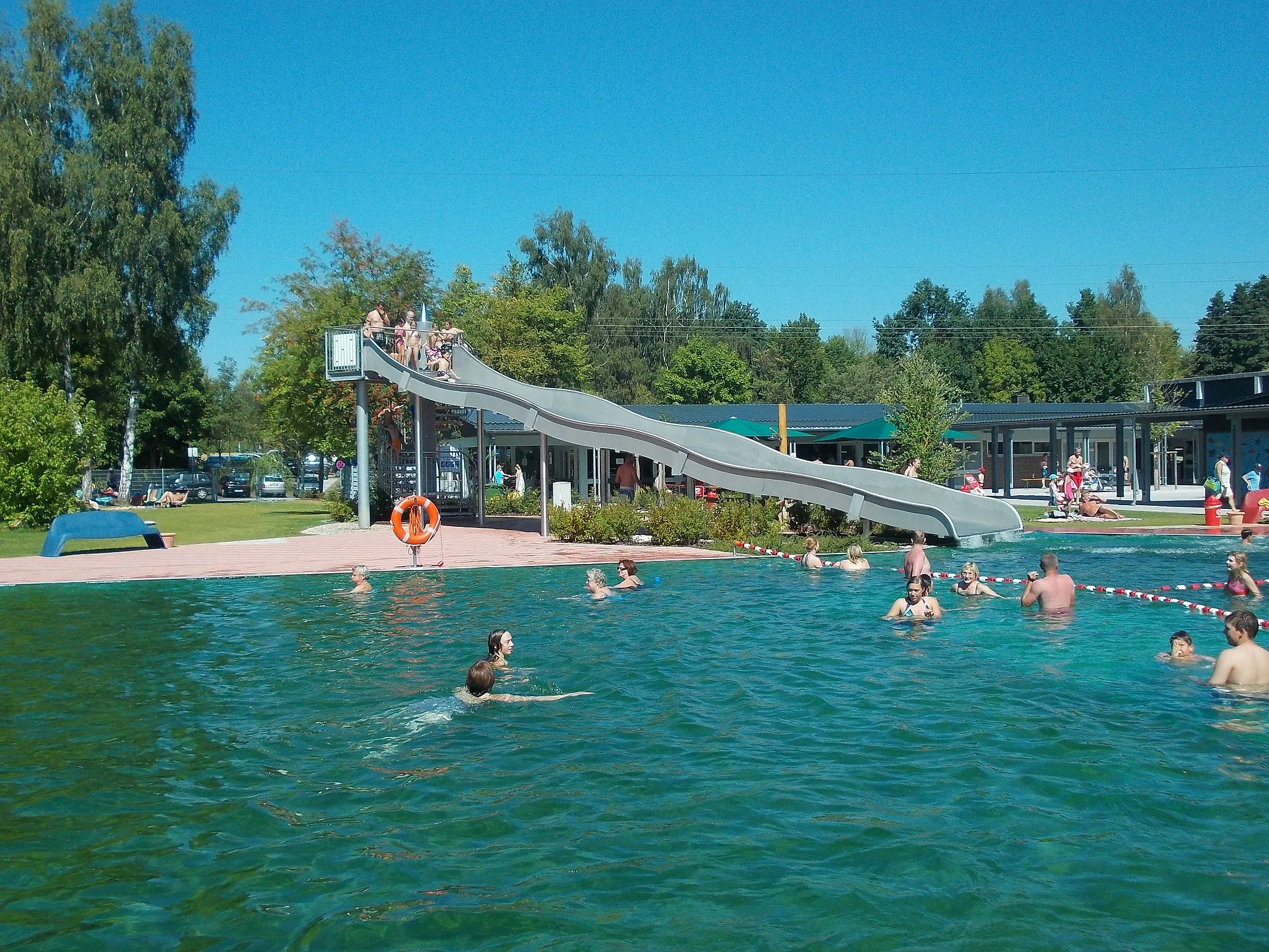
MarktredwitzTownMarktredwitz is a historic town with beautiful Baroque and Gothic architecture.
29 km
29 km
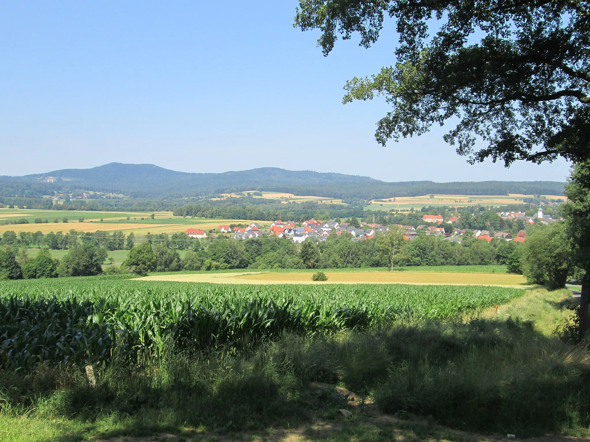
GroßbüchlbergVillageGroßbüchlberg is a peaceful village surrounded by rolling hills and scenic forests.
31 km
31 km
Gulgberg578 mPeakGulgberg is a picturesque hill with stunning views of the Oberpfälzer Wald.
48 km
48 km
TirschenreuthTownTirschenreuth is renowned for its beautiful architecture and idyllic market square.
52 km
52 km
Unterer Heusterzbühl486 mPeakUnterer Heusterzbühl offers stunning views of the surrounding landscapes and traditional Bavarian countryside.
66 km
66 km
VoitenthanHamletVoitenthan is a charming village surrounded by scenic forests and picturesque landscapes.
73 km
73 km
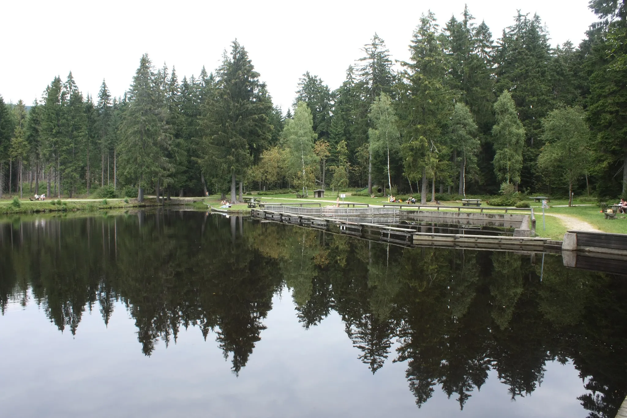
OberpfalzturmViewpointOberpfalzturm is a tranquil forest area known for its beautiful hiking trails and peaceful atmosphere.
82 km
82 km
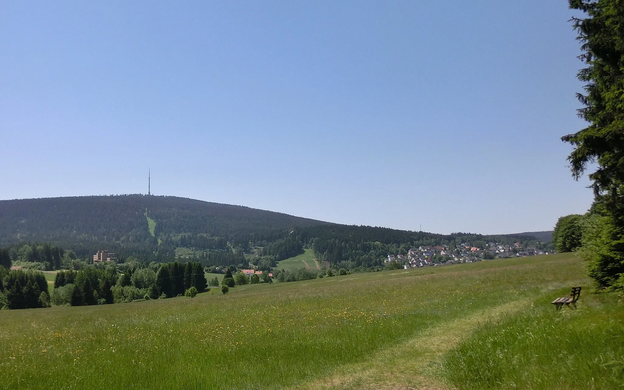
Neusorg im FichtelgebirgeVillageNeusorg im Fichtelgebirge is a scenic village located in the midst of the beautiful Fichtel Mountains.
91 km
91 km
BremerschlagViewpointBremerschlag offers picturesque landscapes and stunning nature trails.
92 km
92 km
Finish: Lochbühl Village centerNagel: Enjoy the peaceful cycling routes amidst Nagel's charming countryside.
Cycling routes from Nagel:
The Gravel Adventure The Gravel Delight The Hidden Gems Road Trip The Ultimate Road Challenge The Epic Mountain Challenge Fichtel Mountains Gravel Adventure Fichtel Mountains Scenic Road Tour Historical and Scenic Road Tour Gravel Adventure through Scenic Landscapes Scenic Views and Historical Treasures
Cycling routes nearby: