Historical and Scenic Road Tour
A road cycling route starting from Nagel
Discover the rich history and stunning scenery on this road tour through Oberfranken
Map
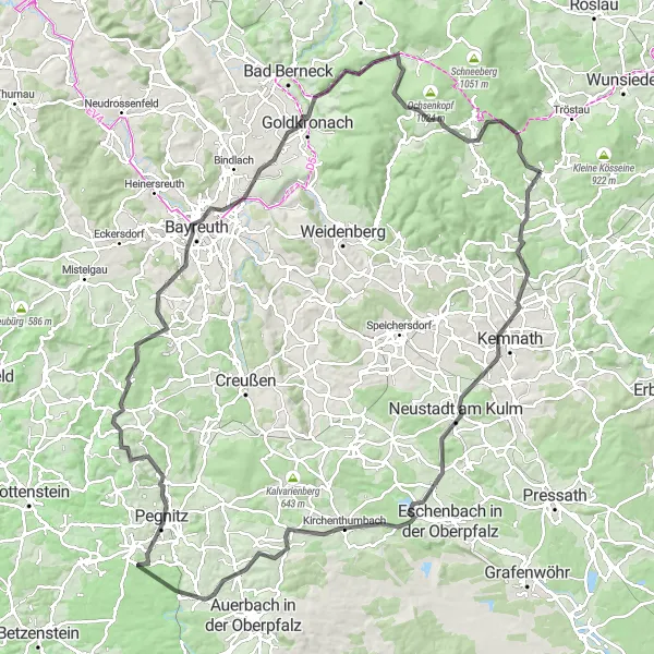
Immerse yourself in the historical and natural highlights of Oberfranken on this 129-kilometer road tour. With an ascent of 1,838 meters, this route is suited for experienced cyclists. From the medieval town of Bayreuth to the picturesque summit of Fichtelberg, this tour offers a perfect blend of history and scenic beauty.
road
129 km
1838 m
Tough
Route profile
Highlights on the route
0 km
0 km
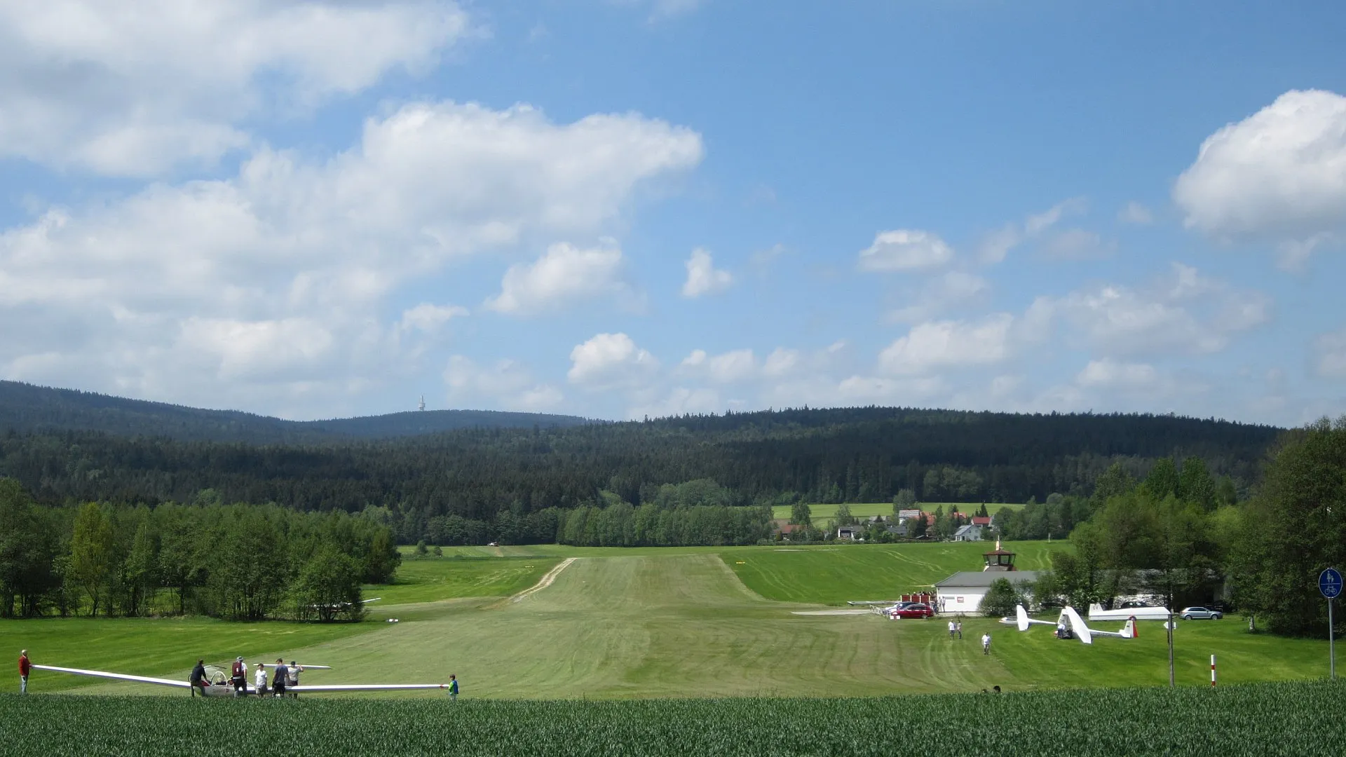
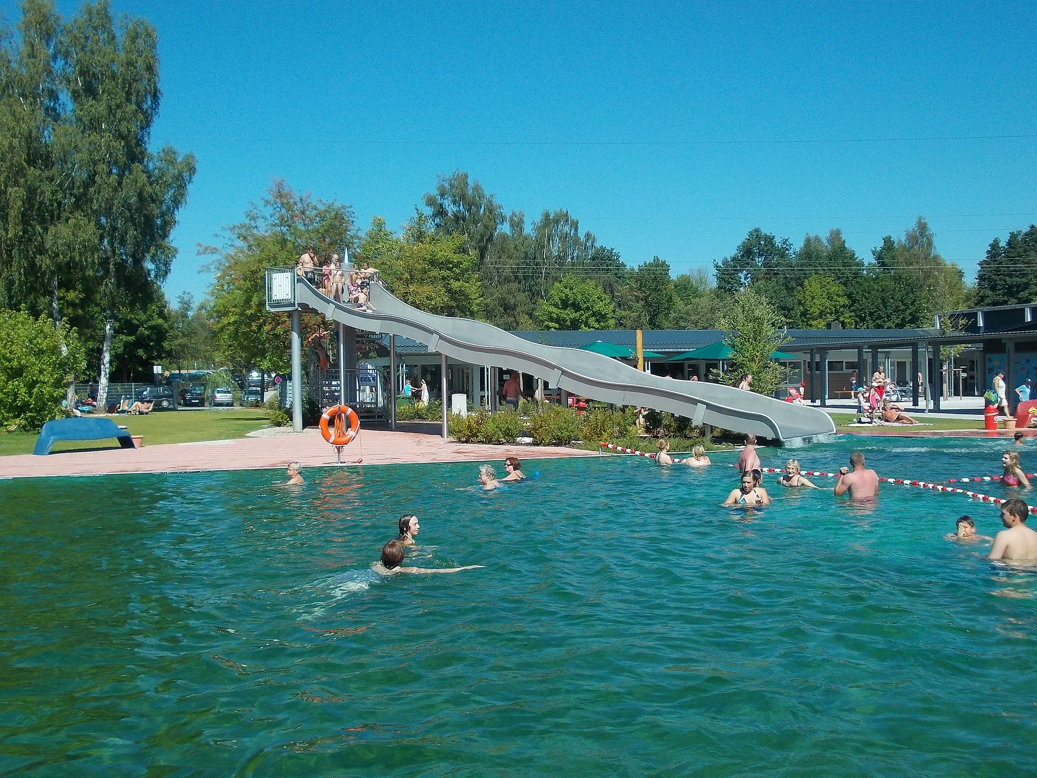
Start: Nagel Village centerNagel: Enjoy the peaceful cycling routes amidst Nagel's charming countryside.
Nagel is a small locality in Oberfranken, Germany. While the area may not provide any noteworthy cycling spots or famous climbs, Nagel does offer pleasant cycling routes along its tranquil countryside. The roads are well maintained, making them suitable for both road and gravel cyclists. Cyclists looking for a peaceful and charming destination to explore on their bikes will appreciate Nagel's serene atmosphere.2 km
2 km
BrandVillageBrand is known for its well-preserved medieval city walls and charming historic center.
7 km
7 km
Schwarzberg682 mPeakSchwarzberg offers stunning views of the surrounding countryside and the Fichtel Mountains.
20 km
20 km
Rauher Kulm681 mPeakRauher Kulm is a distinctive landmark and a popular hiking destination in the region.
25 km
25 km
SpeinshartVillageSpeinshart Abbey is a beautiful Cistercian monastery with a rich history and stunning architecture.
35 km
35 km
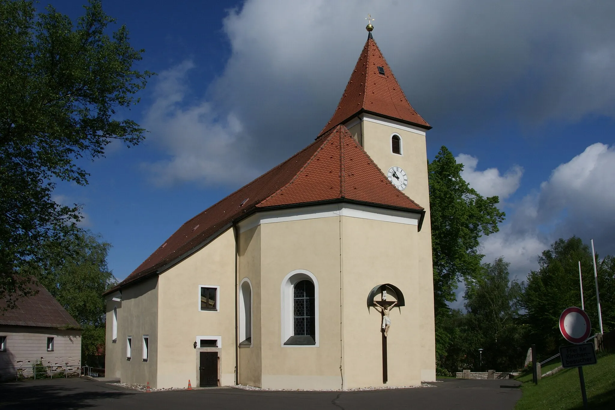
KirchenthumbachVillageKirchenthumbach is a charming village with well-preserved half-timbered houses and a historic church.
46 km
46 km
Pinzigberg541 mPeakPinzigberg is a scenic viewpoint that offers panoramic views of the surrounding landscape.
61 km
61 km
Buchauer Berg485 mPeakBuchauer Berg is a popular recreational area with stunning hiking trails and picturesque views.
71 km
71 km
TrockauVillageTrockau is home to the impressive Oical Castle, a medieval fortress dating back to the 12th century.
78 km
78 km
Eichenreuther Berg587 mPeakEichenreuther Berg is a hill with panoramic views of the Oberfranken region.
88 km
88 km
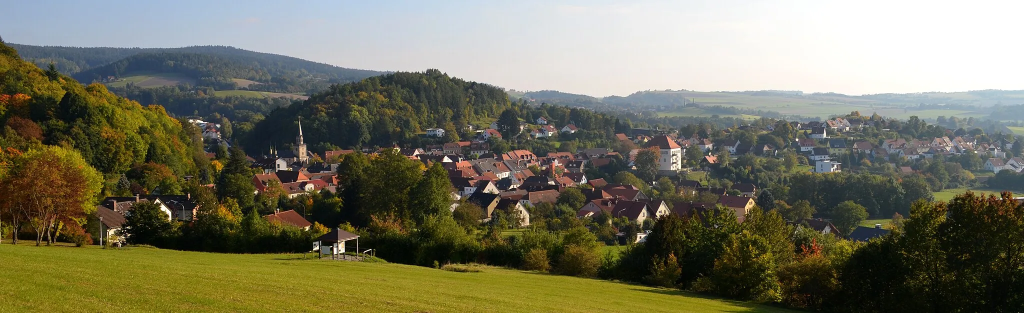
BayreuthTownExplore the historic city of Bayreuth, famous for its annual Richard Wagner Festival.
101 km
101 km
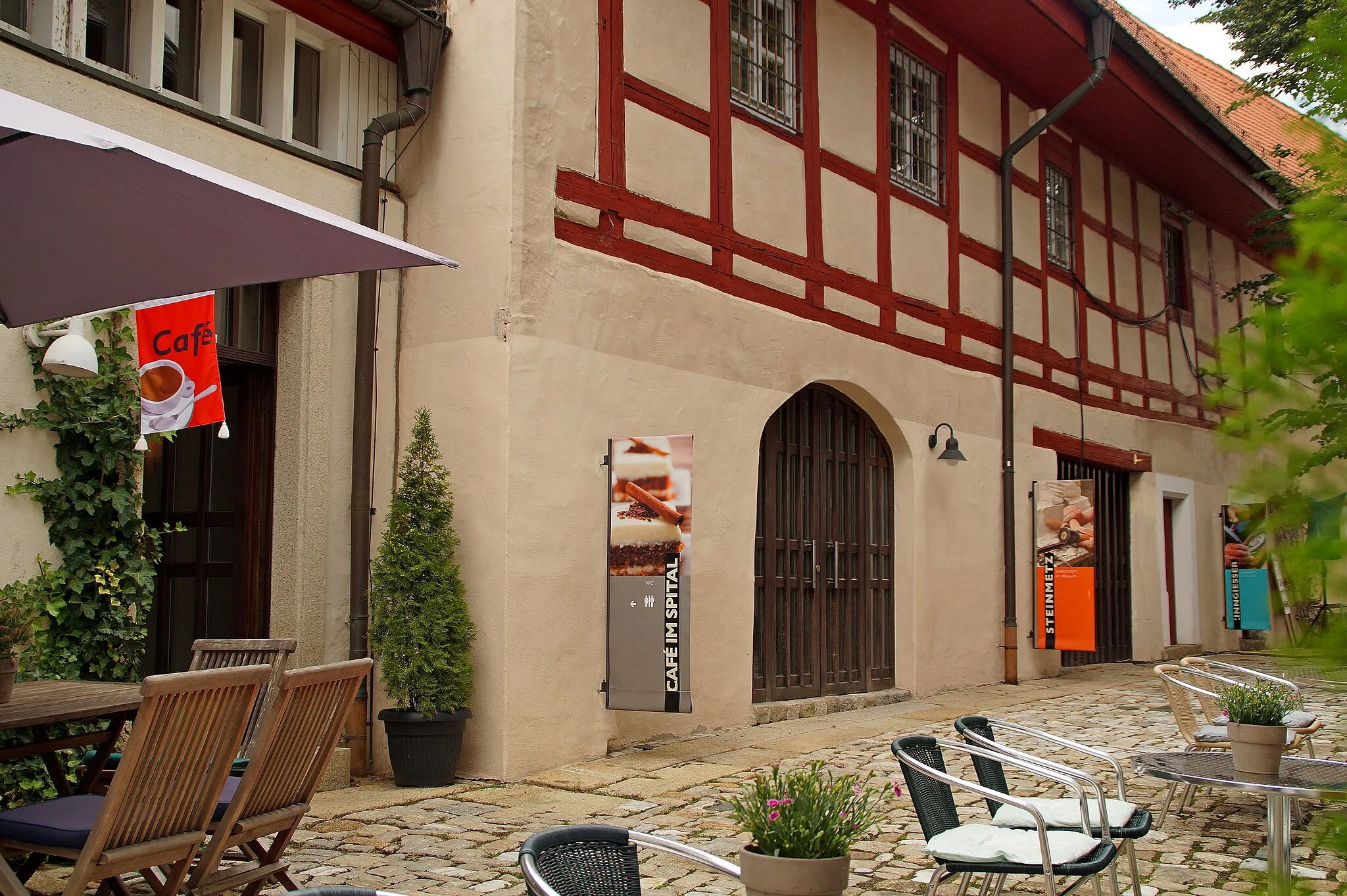
GoldkronachTownGoldkronach is a charming town with a well-preserved medieval town center and scenic hiking trails.
105 km
105 km
Mainberg623 mPeakMainberg offers stunning views of the surrounding landscape and a historic castle.
121 km
121 km
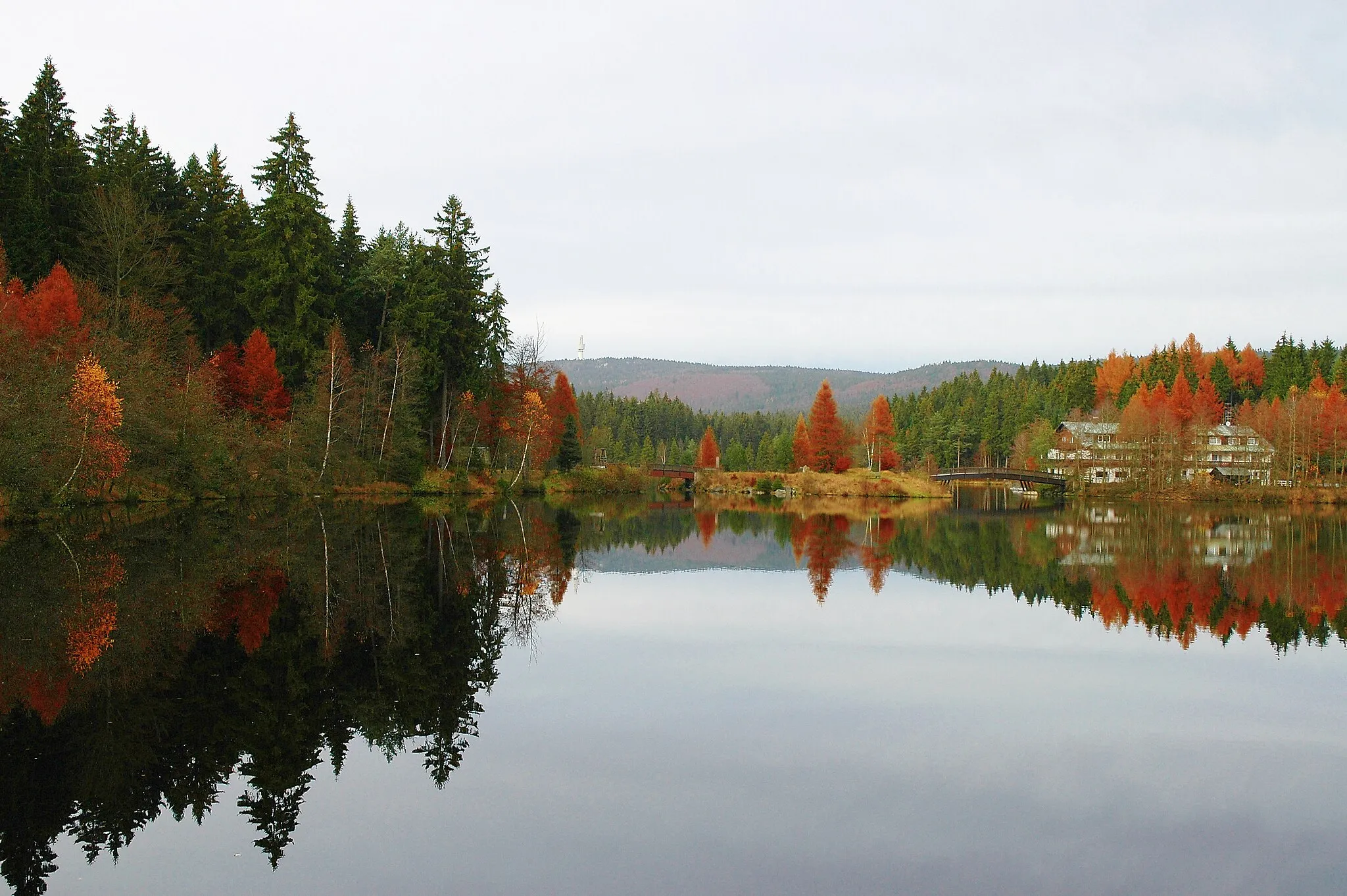
FichtelbergVillageFichtelberg is the highest mountain in the Fichtel Mountains and provides breathtaking panoramic views.
122 km
122 km
Kaiserberg777 mPeakKaiserberg is a popular recreational area boasting beautiful nature trails and stunning views.
129 km
129 km
Finish: Nagel Village centerNagel: Enjoy the peaceful cycling routes amidst Nagel's charming countryside.
Cycling routes from Nagel:
The Gravel Adventure The Gravel Delight The Hidden Gems Road Trip The Ultimate Road Challenge The Epic Mountain Challenge Fichtel Mountains Gravel Adventure Fichtel Mountains Scenic Road Tour Historical and Scenic Road Tour Gravel Adventure through Scenic Landscapes Scenic Views and Historical Treasures
Cycling routes nearby: